
Search for another town



Free U.S. delivery 7 to 10 days after you order
Bucksport, Maine Map Art
Building by building, with labeled streets and shaded relief.
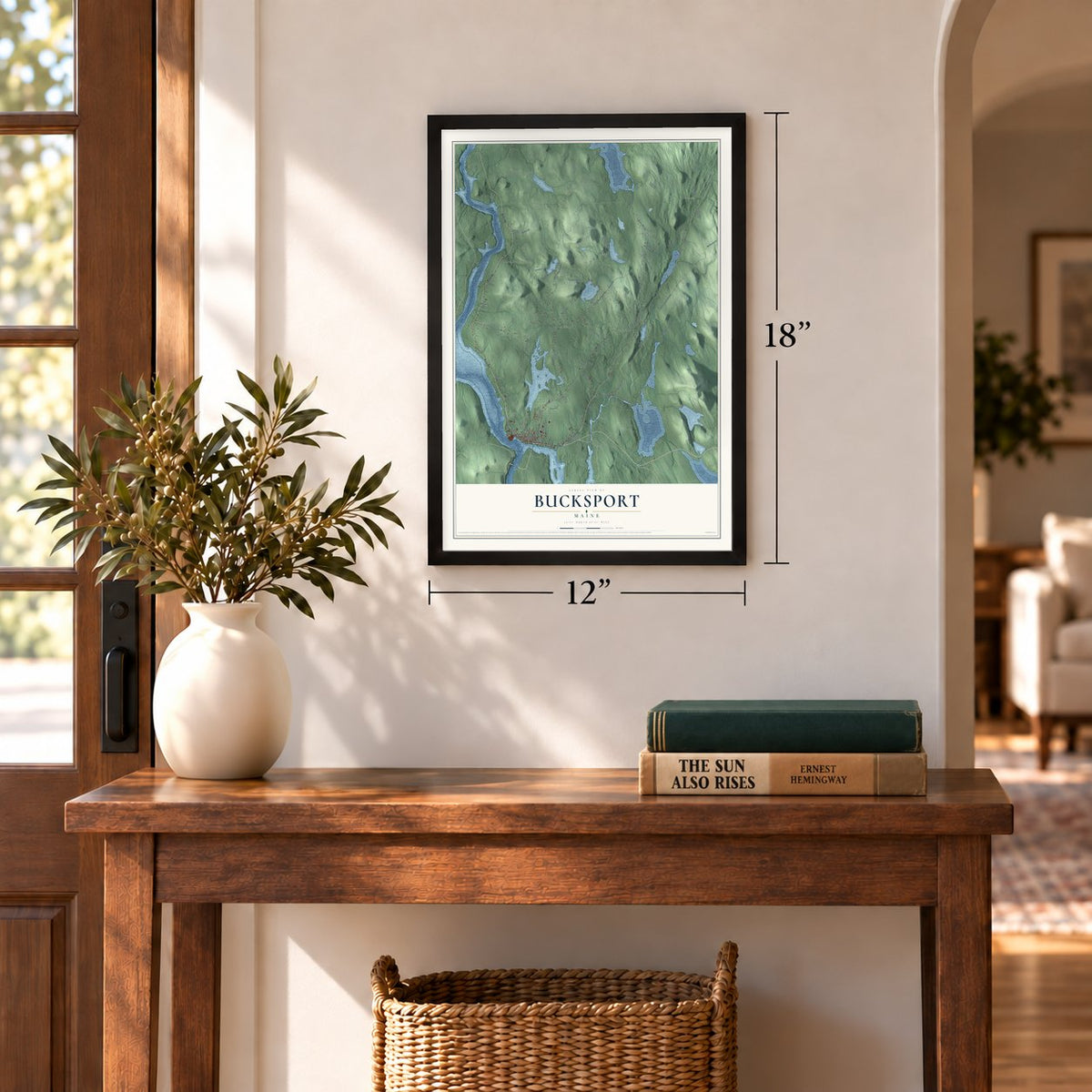
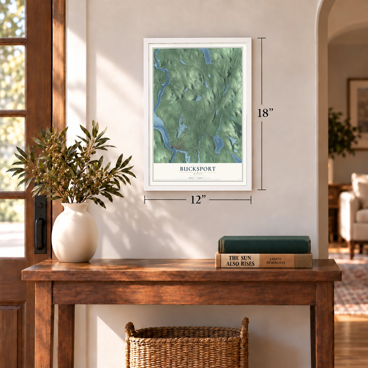
12" x 18" Archival Matte Print
A Map of Home. A Work of Art.
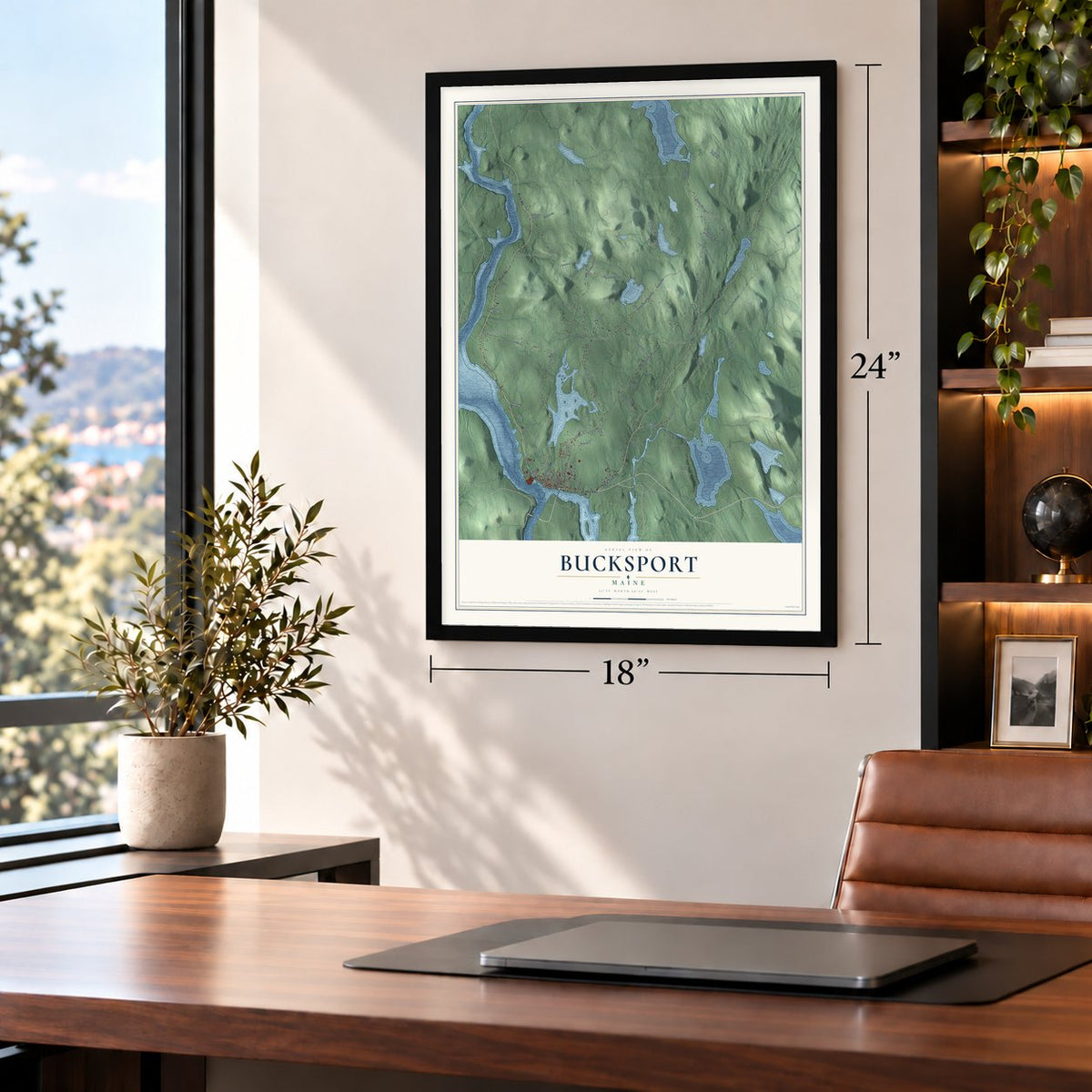
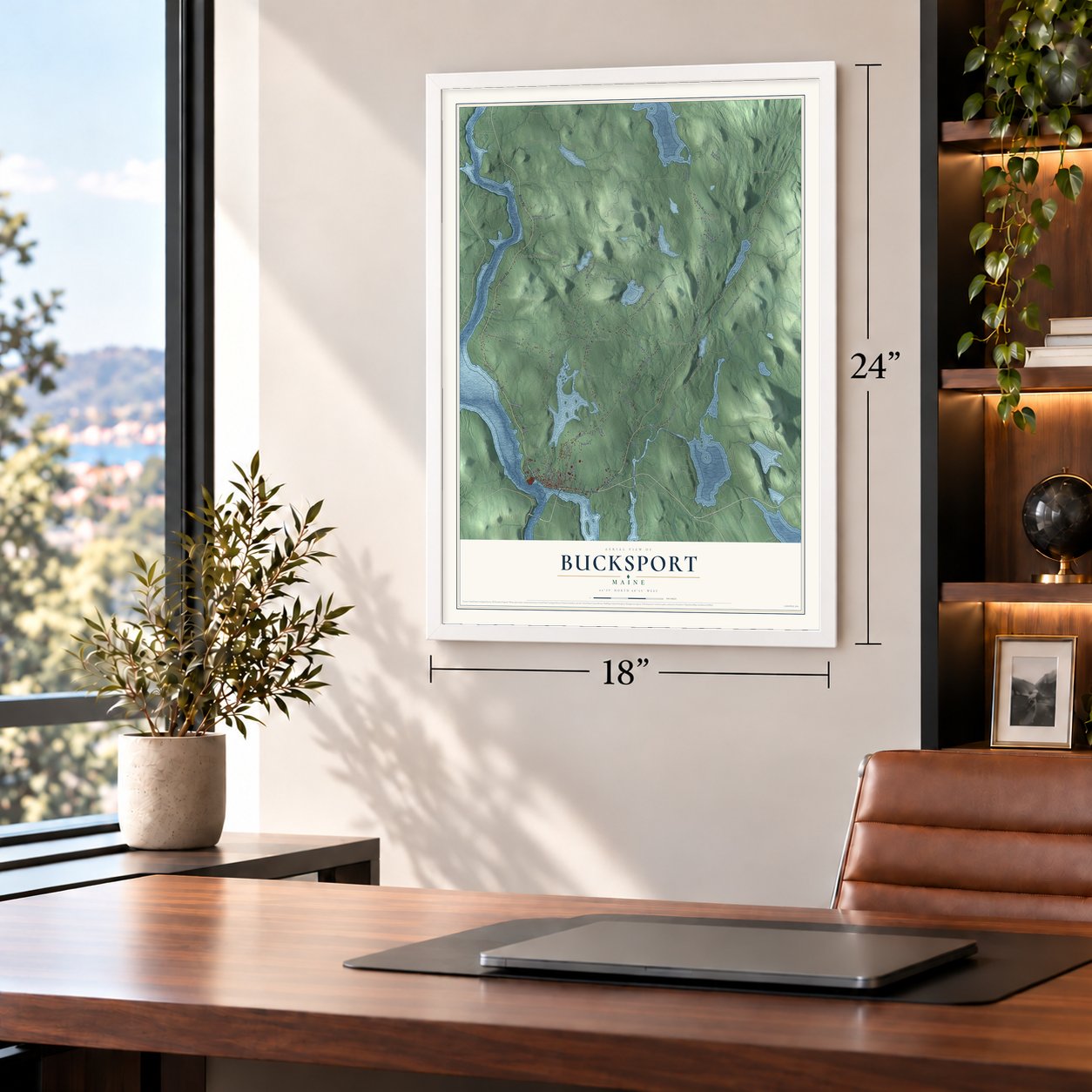
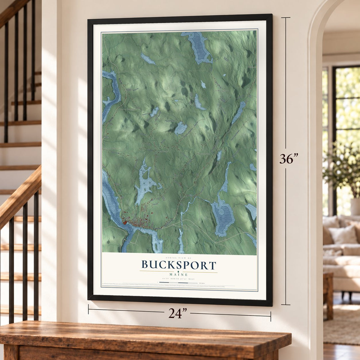
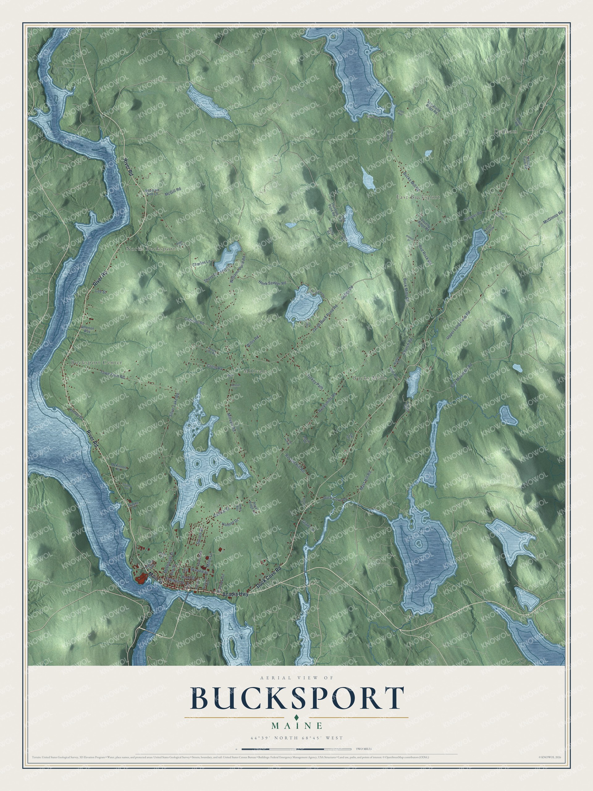
Explore Bucksport, Maine from a whole new perspective. Created using aerial imagery and detailed geographic data, this map captures Bucksport building by building, with labeled streets, familiar landmarks, and shaded topographical relief that highlights the natural contours of the landscape.
Combining modern data with the timeless character of a vintage atlas, this map is just as interesting up close as it is beautiful on the wall. Whether you grew up in Bucksport, spent memorable years there, or call it home today, this unique map is a great way to celebrate a place that means something to you. Zoom in on the preview to look for your street, and then order a print to put your memories on the wall.
Three ways to hang it
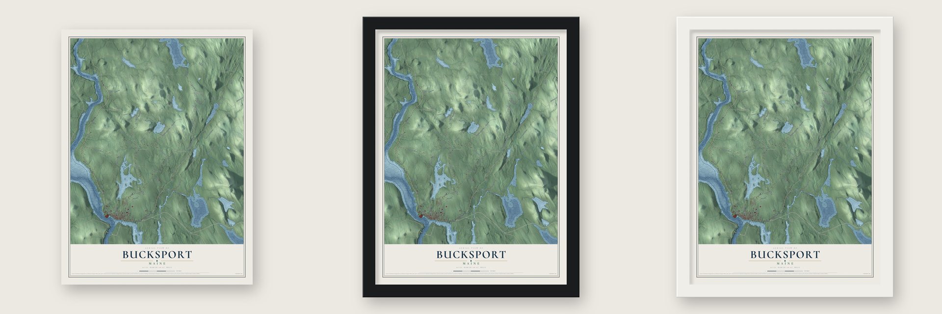
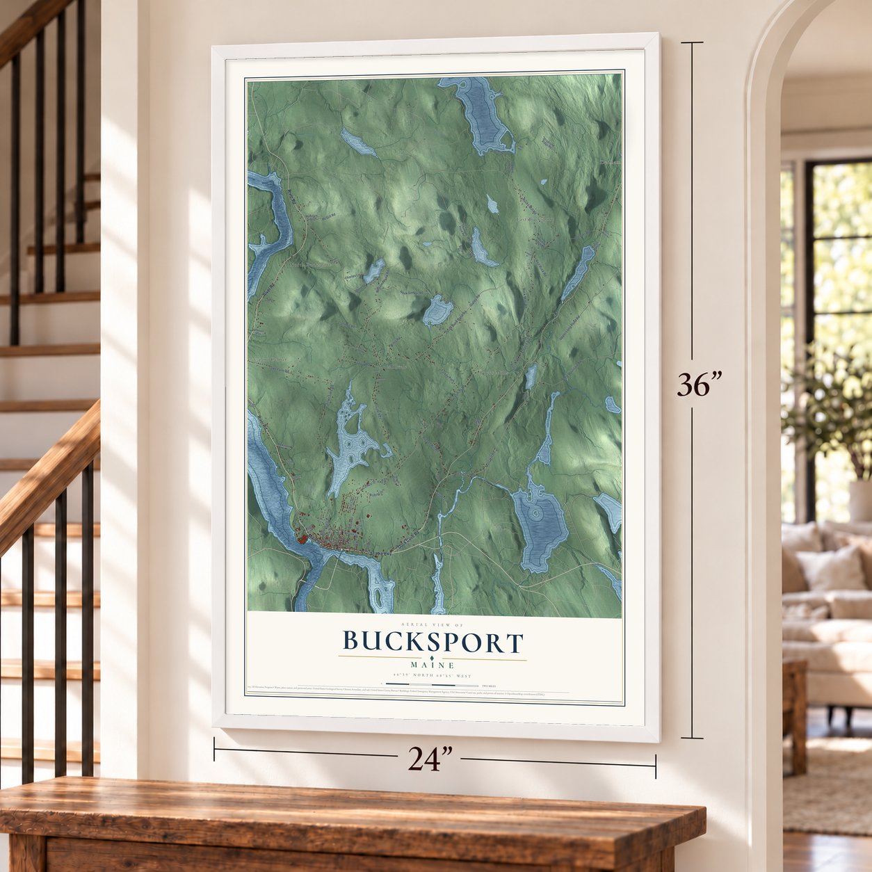
Unframed archival matte, a black wood frame or a white wood frame.
Up close
Geography Worth Displaying
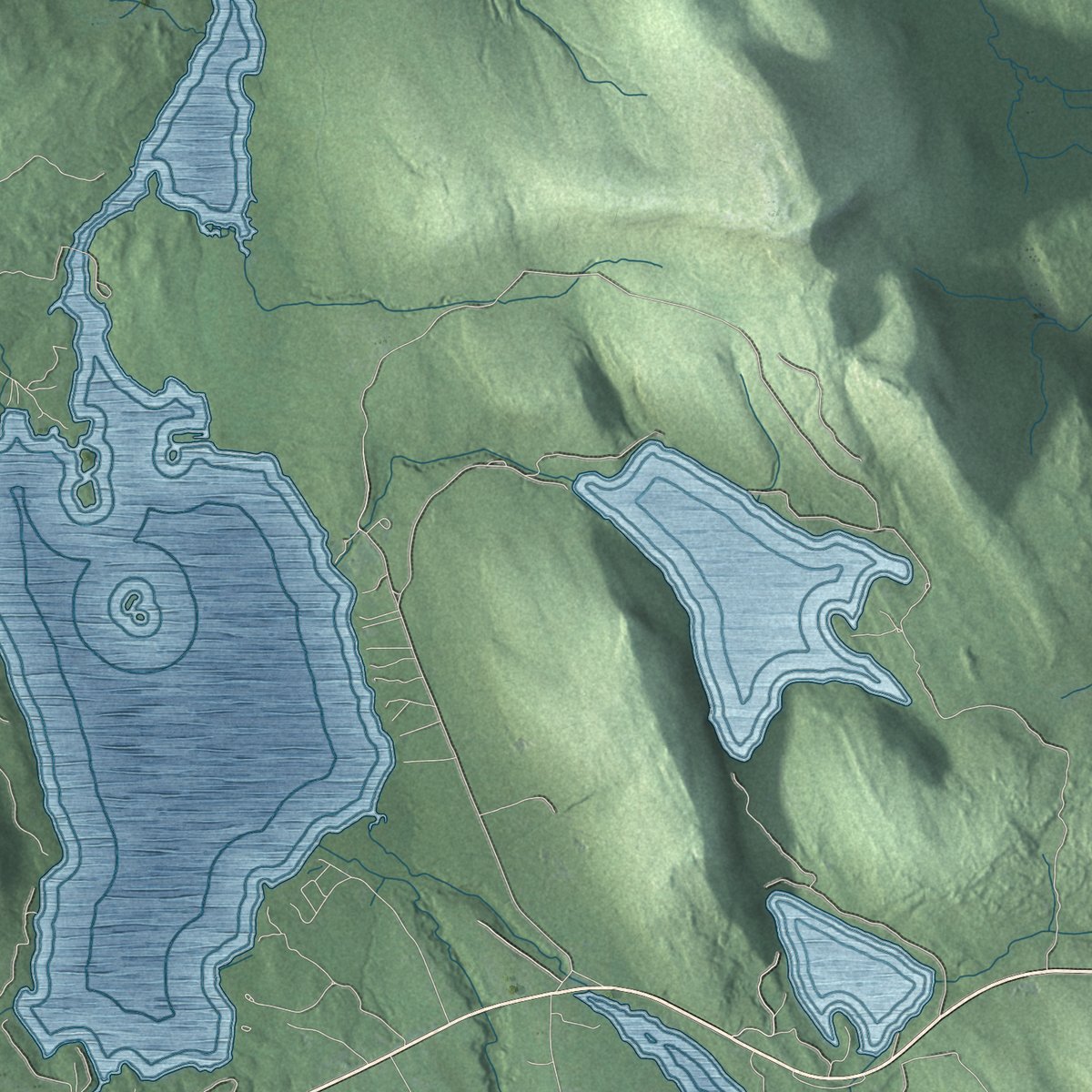
This map was created using accurate cartographic data and authoritative geographic sources, including the U.S. Geological Survey (USGS) and FEMA. The map brings together terrain, waterways, roads, and building detail. The majority of the streets are labeled, houses are accurately depicted, and the topography is derived from government sources. Combining local data with carefully composed color and shading leads to this beautifully detailed Bucksport artwork for your wall.
Rather than simply showing street outlines, we’ve included as many of the street names as we could reasonably fit on the map while keeping their names legible. Zoom in on the high resolution preview to see exactly what’s on the map. We truly set out to create a statement piece for anyone who loves Bucksport. So whether it’s for you, or a gift for someone you love, we hope this map of Bucksport brings back fond memories.
Explore the full map of Bucksport, Maine and read about the local places it shows.

Find your street
Names on the Bucksport map
Every name below is printed on this map. Look for your street, your school, the park where you played, or the pond down the road.
Places and landmarks6
- Bucks Mills
- Dedham
- Bucksport Center
- East Bucksport
- North Bucksport
- Millvale
Streets and roads84
- River Road
- Main Street
- Acadia Highway
- Duck Cove Road
- McGinnis Road
- Mast Hill Road
- Upper Long Pond Road
- Red Rock Road
- Broadway
- Hunk Sawyer Road
- Bucksmills Road
- Millvale Road
- Silver Lake Road
- Jacob Buck Pond Road
- Central Street
- Town Farm Road
- Williams Pond Road
- Church Road
- Dresser Road
- Russell Hill Road
- Gulley Road
- Turkey Path
- Bald Mountain Road
- Buck Mills Road
- Franklin Street
- Cross Road
- McGill Road
- Connors Road
- McDonald Street
- Bucks Mill Road
Show all 84 streets
- Charles Lane
- Miles Lane
- Willis Road
- Grant Lane
- Spruce Street
- Elm Street
- Pond Street
- Holmes Drive
- Shore Drive
- Lee Street
- South Road
- Thurston Pond Road
- Berry Road
- Strickland Ridge Road
- Wickett Farm Road
- Poverty Ridge Road
- Royal Ridge Lane
- Islnad View Road
- McKinnon Road
- Bayview Avenue
- Forest Hill
- Mountain Side Lane
- Bluff Road
- Kenney Drive
- Atherton Way
- Cole Road
- Drakes Lane
- Bagley Avenue
- Nason Hollow
- Corey Road
- Cw Lane
- Bullfrog Way
- Peaceful Valley
- Pine Street
- Nicholson Avenue
- Edgewater Lane
- Marsh Road
- Scotts Lane
- Hinks Street
- Wights Lane
- Power Line Road
- Ames Way
- Wilderness Way
- Flanders Way
- Bridge Street
- Hillside Drive
- Eagle Lane
- Stone House Road
- Kimball Drive
- Pelletier Lane
- Aspen Lane
- Cotton Hill Road
- Ridge Road
- Fallen Way
Names are listed as they appear on the printed map. Zoom into the product photos to find them.
About Bucksport, Maine
Bucksport is a town of 4,944 people in Hancock County, where the Penobscot River meets the head of Penobscot Bay. The Massachusetts General Court granted this township to a group led by Deacon David Marsh of Haverhill, with 351 others. Colonel Jonathan Buck and several grantees surveyed the land in 1762. In June 1763 Buck returned to settle, and he built a sawmill on Mill Creek, plus a house and a store. The settlement, called Plantation No. 1, had 21 families by 1775.
The Revolution reached the plantation in 1779. On April 14 the British at Fort George in Castine defeated the American Penobscot Expedition. The next day the 16-gun sloop HMS Nautilus anchored in the harbor, which most settlers had abandoned, and its crew set the settlement on fire, sparing only those who swore loyalty to the Crown. After the peace of 1783 families came back and called the place Buckstown Plantation in honor of its founder. It was incorporated as Buckstown on June 27, 1792, and took the name Bucksport in 1817.
- Maine's first dig, 1891Some 5,000 years ago this shore was home to the Red Paint People, now called the Maritime Archaic. They were a fishing culture that placed red paint in their graves beside stone tools and weapons. Professor Charles Willoughby excavated at Indian Point in 1891, on the ground where the paper mill was later built, and it may have been the first archaeological dig in Maine or even the United States.
- A library from Buck's grandsonRichard Pike Buck, grandson of the founder, promised Bucksport a library, but he died before it was built. His wife and daughter carried out his promise, and the Buck Memorial Library opened in 1887. George A. Clough designed the small Gothic Revival building, which is built of rough granite from Blue Hill.
- A stop between Bangor and CastineThe Jed Prouty Tavern and Inn on Main Street began as a house around 1780. About 1820 it was enlarged into a 17-room hotel for people making the trip from Bangor to Castine. Daniel Webster stayed there, and so did two presidents, Martin Van Buren and William Henry Harrison.
- Winter shipping by rail, 1874Each winter the Penobscot River froze and cut Bangor off from the sea. The Bucksport and Bangor Railroad, finished in 1874, gave Bangor a winter route to Penobscot Bay through Bucksport. Its station on Main Street is one of the few rural stations left in Maine, and it now houses the Bucksport Historical Society's museum.
- The paper mill, 1930 to 2014In 1930 the Maine Seaboard Paper Company started up the Bucksport Mill, where two machines turned out 300 tons of newsprint a day. The mill changed hands several times. Time, Inc. came first, then St. Regis Paper Company, then Champion International and International Paper, and finally Verso Paper, and along the way it grew to 4 machines. Verso announced on October 1, 2014, that it would close the mill on December 1, and 570 workers lost their jobs.
Keep exploring Maine
Bucksport is one of 536 Maine towns we've mapped. Every dot on the map is a print of its own.
The search covers every state, Maine first.
Near Bucksport
Order 2 or more town maps and save 10%. Shown in the size and finish you picked above, so they hang as a set.
- Orrington 12" x 18" / Archival Matte Print $39.99
- Orland 12" x 18" / Archival Matte Print $39.99
- Verona Island 12" x 18" / Archival Matte Print $39.99

More maps nearby: Winterport, Prospect, Holden, Hampden and Frankfort.
The art of mapping a place
How This Map Was Made
Real places. Remarkable detail. Discover the layers that turn geographic data into a map of home.

The view from above
Aerial imagery reveals the character of the land: woodland, open fields, and the patterns of a place.

The shape of the land
Elevation data brings hills, valleys, and subtle changes in the landscape into view.

The details of home
Roads, waterways, and building footprints come together to make the map feel unmistakably local.

Geography becomes art
Considered color, shading, and typography bring the layers together in a map made for your wall.


Process illustrated with Mendon, Massachusetts. Aerial imagery: USDA NAIP. Terrain: USGS 3D Elevation Program. Map details and finished artwork: KNOWOL.
The Details
About This Print
Choose an archival matte print, or a black or white Ayous wood frame. The archival matte print is unframed.
Select your size and finish above to see the matching product image and price.
Materials & Craftsmanship
A contemporary map with the character of a classic atlas, printed on archival matte paper. Optional frames are made from Ayous wood.
Your printed map does not include the watermark shown in the full-map preview.
Shipping & Delivery
Free shipping within the United States. Every print is made to order in the USA.
Buying a gift? Add a note in your cart and we'll include it. We never put prices in the package.
Prints ship within 2 to 3 business days. Allow 7 to 10 days total from ordering for delivery. Timing may vary during holidays or periods of high order volume.
Read our shipping policy.
Returns and damaged prints
Each print is made to order. Change-of-mind refunds are not available after production.
If your print arrives damaged, misprinted or incorrect, contact support@knowol.com within 30 days of receiving it. Include your order number, photos and a description of the issue.
Read our full refund and replacement policy. For questions about your order, email support@knowol.com.