
Search for another town


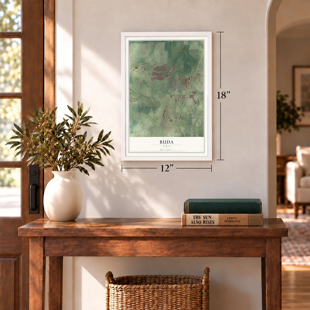

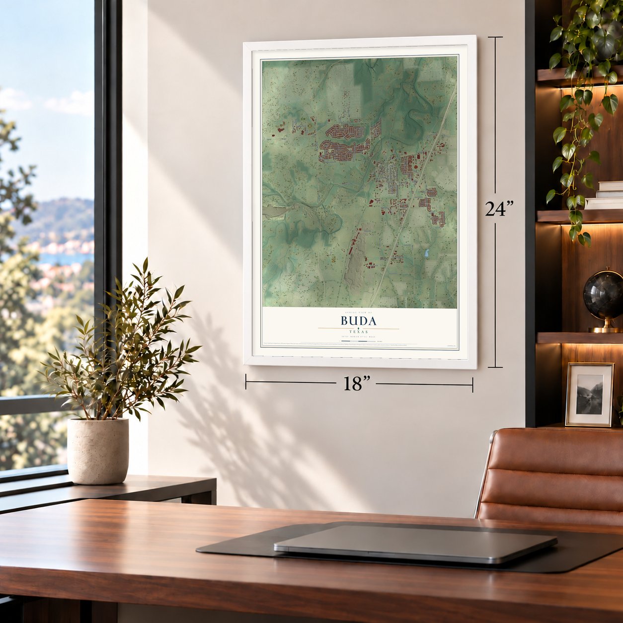
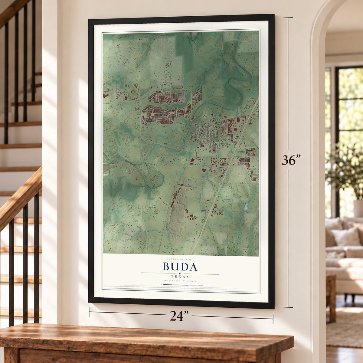
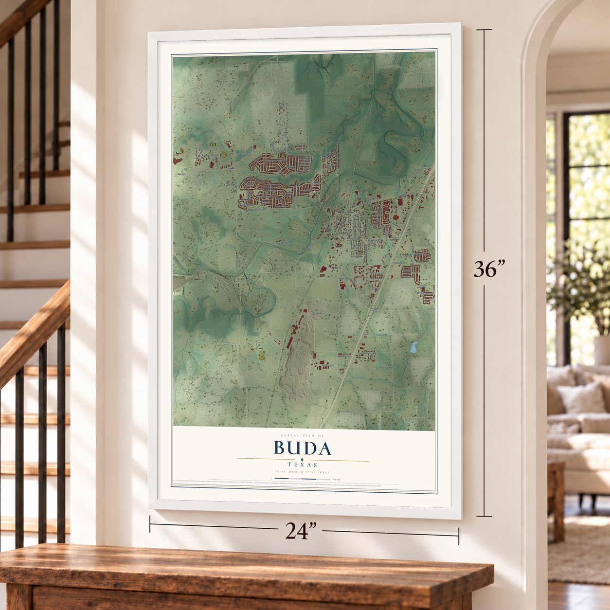

Free U.S. delivery 7 to 10 days after you order
Buda, Texas Map Art
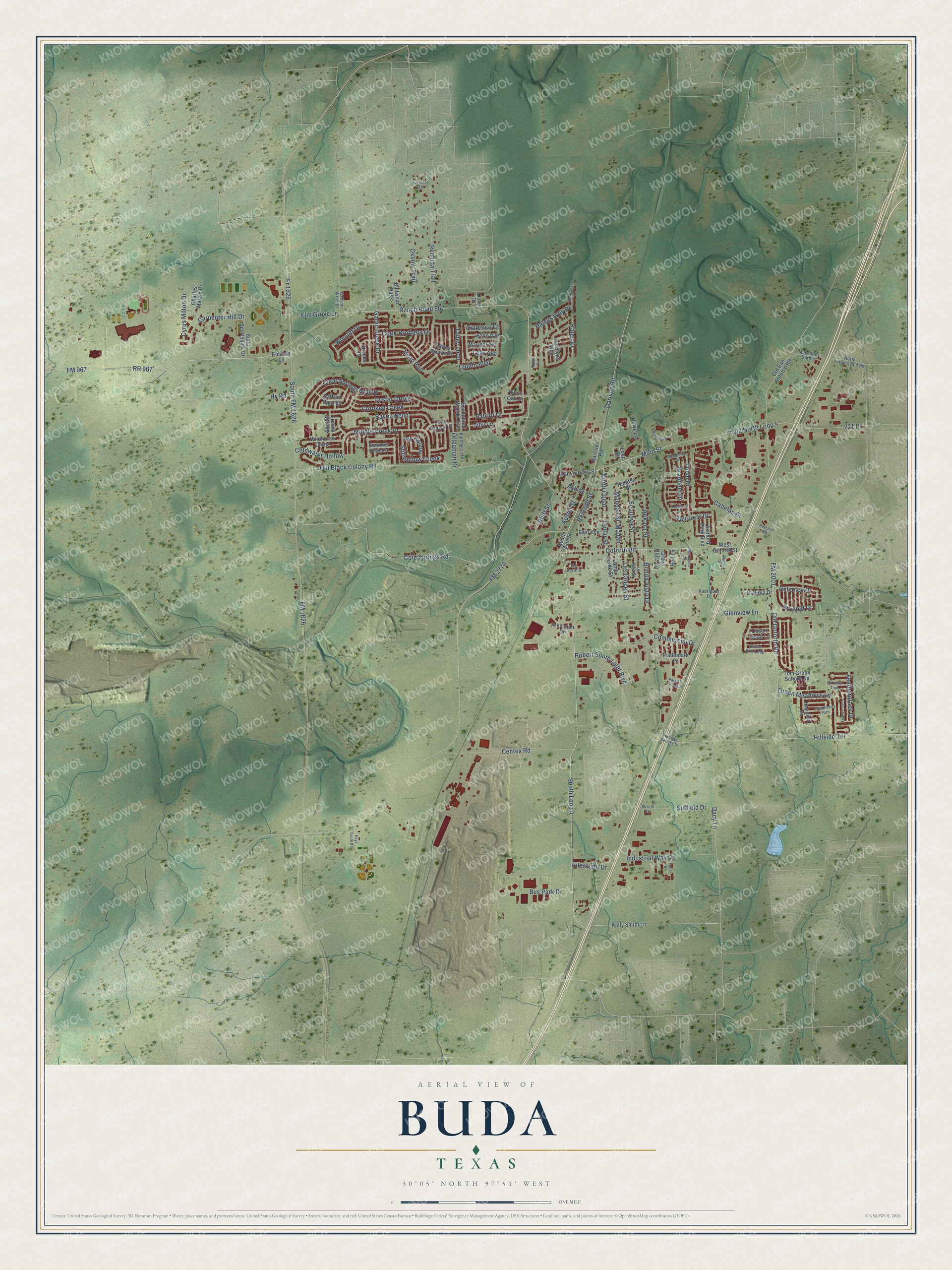
A new map of Buda, Texas, made in 2026 and printed to order on thick archival matte paper.
12" x 18" Archival Matte Print
A Map of Home. A Work of Art.
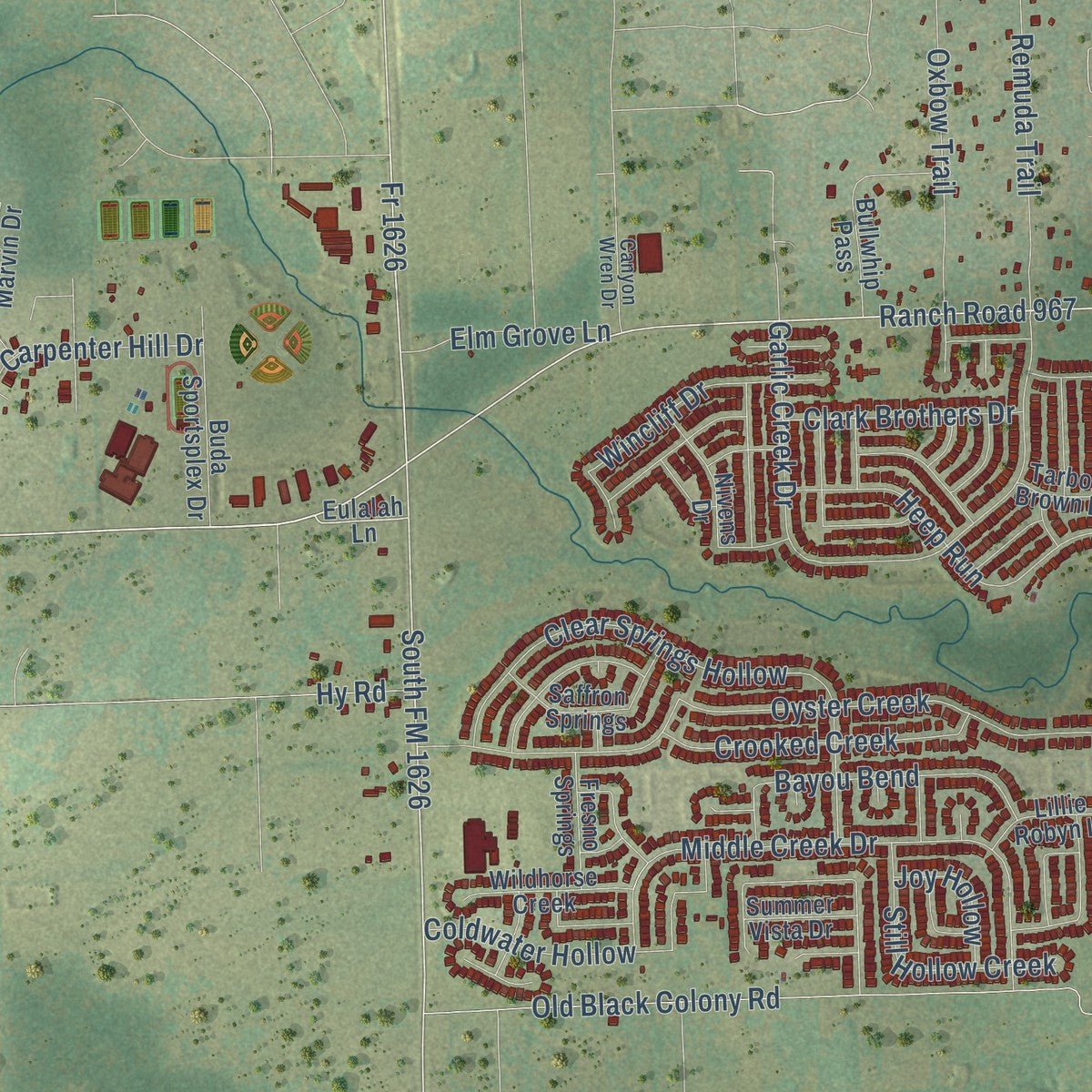
This beautifully detailed map of Buda, Texas was created in 2026 using aerial imagery combined with modern topographical, census, street and landmark data. It's a modern aerial view of Buda in Hays County, Texas, that combines modern data with a vintage aesthetic. Zoom in on the preview and look for your block.
Three ways to hang it
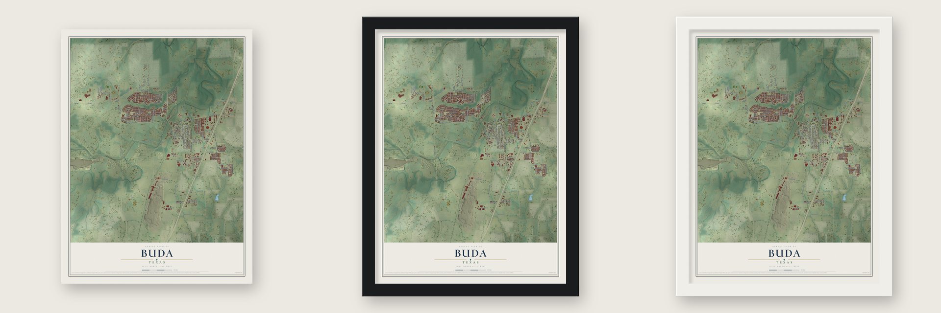
Unframed archival matte, a black wood frame or a white wood frame.
Up close
Real geography. Art worth displaying.
This map was created using accurate cartographic data and authoritative geographic sources, including the U.S. Geological Survey and the Census Bureau. The map brings together terrain, waterways, roads, and building detail. The majority of the streets are labeled, houses are accurately depicted, and the topography is derived from government sources. Combining local data with carefully composed color and shading leads to this beautifully detailed Buda artwork for your wall.
Rather than simply showing street outlines, we’ve included as many of the street names as we could reasonably fit on the map while keeping their names legible. Zoom in on the high resolution preview to see exactly what’s on the map. We truly set out to create a statement piece for anyone who loves Buda. So whether it’s for you, or a gift for someone you love, we hope this map of Buda brings back fond memories.

About Buda, Texas
Buda is a city in eastern Hays County, positioned along Interstate 35 south of Austin. Its civic story took shape around a railroad depot in 1881, after earlier settlement in the area. Known first as Du Pre, it received the name Buda in 1887 and later incorporated in 1948.
- A Railroad TownsiteOn April 1, 1881, Cornelia Trimble provided property beside the International-Great Northern depot for a new town.
- Du Pre to BudaThe settlement was called Du Pre until postal officials prompted its renaming in 1887.
- Growth by CensusBuda's population rose from 7,295 in 2010 to 15,108 in 2020.
- Early Local EconomyNearby dairy farms and ranches supported local suppliers and services, as well as mills, hotels, banks, newspapers, a cheese factory, a theater, and a skating rink.
- An April TraditionThe Buda Lions Club organizes wiener dog races each April, an event that has brought the city national attention.
Find your street
Names on the Buda map
Every name below is printed on this map. Look for your street, your school, the park where you played, or the pond down the road.
Streets and roads136
- FM 967
- Ranch Road 967
- South Loop 4
- FM 1626
- Old North Loop 4
- South FM 1626
- 221 Drive
- Old Goforth Road
- Main Street
- RR 967
- Cole Springs Road
- North Cedar
- FM 2770
- Oyster Creek
- Old Black Colony Road
- Goforth Road
- Garlic Creek Drive
- Clear Springs Hollow
- Remuda Trail
- Oxbow Trail
- FM 2001
- Middle Creek Drive
- Centex Road
- Cabelas Drive
- Robert South Light Boulevard
- Green Meadows Lane
- Heep Run
- Cullen Boulevard
- Patriot Drive
- Sequoya Street
Show all 136 streets
- Coldwater Hollow
- Carpenter Hill Drive
- Garison Road
- Commercial Drive
- Cedar Street
- Bayou Bend
- Hillside Terrace
- Faircrest Drive
- Wincliff Drive
- Crooked Creek
- Intrepid Drive
- Arikara Street
- Cyrus Milton Drive
- Talley Loop
- Feathergrass Drive
- Railroad Street
- Fr 1626
- Still Hollow Creek
- Austin Street
- Clarence Court
- Tobin Drive
- Mandan Street
- Bonita Vista Drive
- Tilly Lane
- Bradfield Drive
- Clark Brothers Drive
- Glenview Lane
- Bus Park Drive
- Industrial Way Drive
- Suffield Drive
- Reliance Drive
- Las Cruces Street
- Elm Grove Lane
- Bluff Street
- Haleys Way Drive
- Dacy Lane
- Interstate Drive
- Kates Cv
- Joy Hollow
- Orleanian Drive
- Madan
- Lear Avenue
- Ash Street
- Hy Road
- Loop Street
- Eulalah Lane
- South Main Street
- Old San Antonio Road
- Bullwhip Pass
- Buda Sportsplex Drive
- Carolyns Way
- Tom Green School Road
- Saffron Springs
- Nivens Drive
- Wildhorse Creek
- Hawk Lane
- Salle Avenue
- Enchanted Woods Trail
- Loma Verde Street
- Nandina Drive
- San Antonio Street
- Kelly Smith Lane
- West Goforth Street
- Ashford Park Boulevard
- Garrison Road
- Fresno Springs
- Trademark Pr
- Lillie Robyn Lane
- Maribel Avenue
- Claudia Drive
- Tarbox Brown Drive
- Charles Marvin Drive
- East Avenue
- Summer Vista Drive
- Hidatsa Street
- Green Holtz Lane
- Precision Drive
- Desert Quail Lane
- White Oak Drive
- Bell Lane
- Dove Drive
- Stone Rim Loop
- Rodriguez Lane
- Burlington Drive
- North Turnersville Road
- Manchaca Spring
- Canyon Wren Drive
- La Jolla Drive
- Mendoza Lane
- Via Verona
- Circle Drive
- Royston Road
- Old West Trail
- Hillside Terrace Drive
- Firebush Way
- Pigeonberry Path
- Nighthawk Lane
- McKennas Cv
- Rocha Drive
- Rockhurst Street
- Roseberry Street
- Buckaroo Trail
- Park 35 Cv South
- Hays Youth Drive
- Foust Drive
- Kali's Cv
Names are listed as they appear on the printed map. Zoom into the product photos to find them.
The art of mapping a place
How This Map Was Made
Real places. Remarkable detail. Discover the layers that turn geographic data into a map of home.

The view from above
Aerial imagery reveals the character of the land: woodland, open fields, and the patterns of a place.

The shape of the land
Elevation data brings hills, valleys, and subtle changes in the landscape into view.

The details of home
Roads, waterways, and building footprints come together to make the map feel unmistakably local.

Geography becomes art
Considered color, shading, and typography bring the layers together in a map made for your wall.


Process illustrated with Mendon, Massachusetts. Aerial imagery: USDA NAIP. Terrain: USGS 3D Elevation Program. Map details and finished artwork: KNOWOL.
The Details
About This Print
Choose an archival matte print, or a black or white Ayous wood frame. The archival matte print is unframed.
Select your size and finish above to see the matching product image and price.
Materials & Craftsmanship
A contemporary map with the character of a classic atlas, printed on archival matte paper. Optional frames are made from Ayous wood.
Your printed map does not include the watermark shown in the full-map preview.
Shipping & Delivery
Free shipping within the United States. Every print is made to order in the USA.
Buying a gift? Add a note in your cart and we'll include it. We never put prices in the package.
Prints ship within 2 to 3 business days. Allow 7 to 10 days total from ordering for delivery. Timing may vary during holidays or periods of high order volume.
Read our shipping policy.
Returns and damaged prints
Each print is made to order. Change-of-mind refunds are not available after production.
If your print arrives damaged, misprinted or incorrect, contact support@knowol.com within 30 days of receiving it. Include your order number, photos and a description of the issue.
Read our full refund and replacement policy. For questions about your order, email support@knowol.com.
Find your town
Looking for another city?
Find a map of home in our Texas collection.
Nearby
Maps of towns near Buda
Know someone from one of these towns? Their map makes a great gift.
 Mountain City
, Texas
From $39.99See the map
 Hays
Hays, Texas
From $39.99See the map
 Manchaca
, Texas
From $39.99See the map
More maps nearby: San Leanna, Kyle, Shady Hollow, Creedmoor and Niederwald.