
Search for another town




Free U.S. delivery 7 to 10 days after you order
Buena Vista, Colorado Map Art
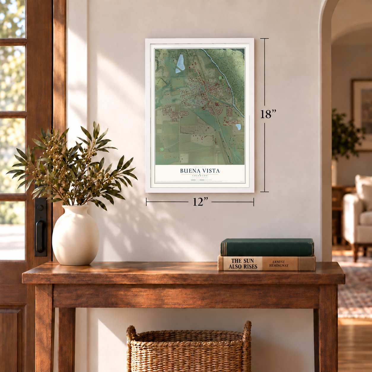
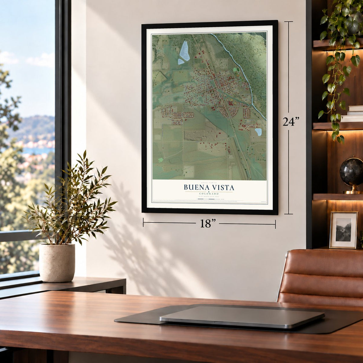
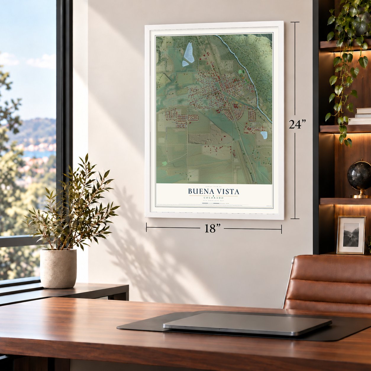
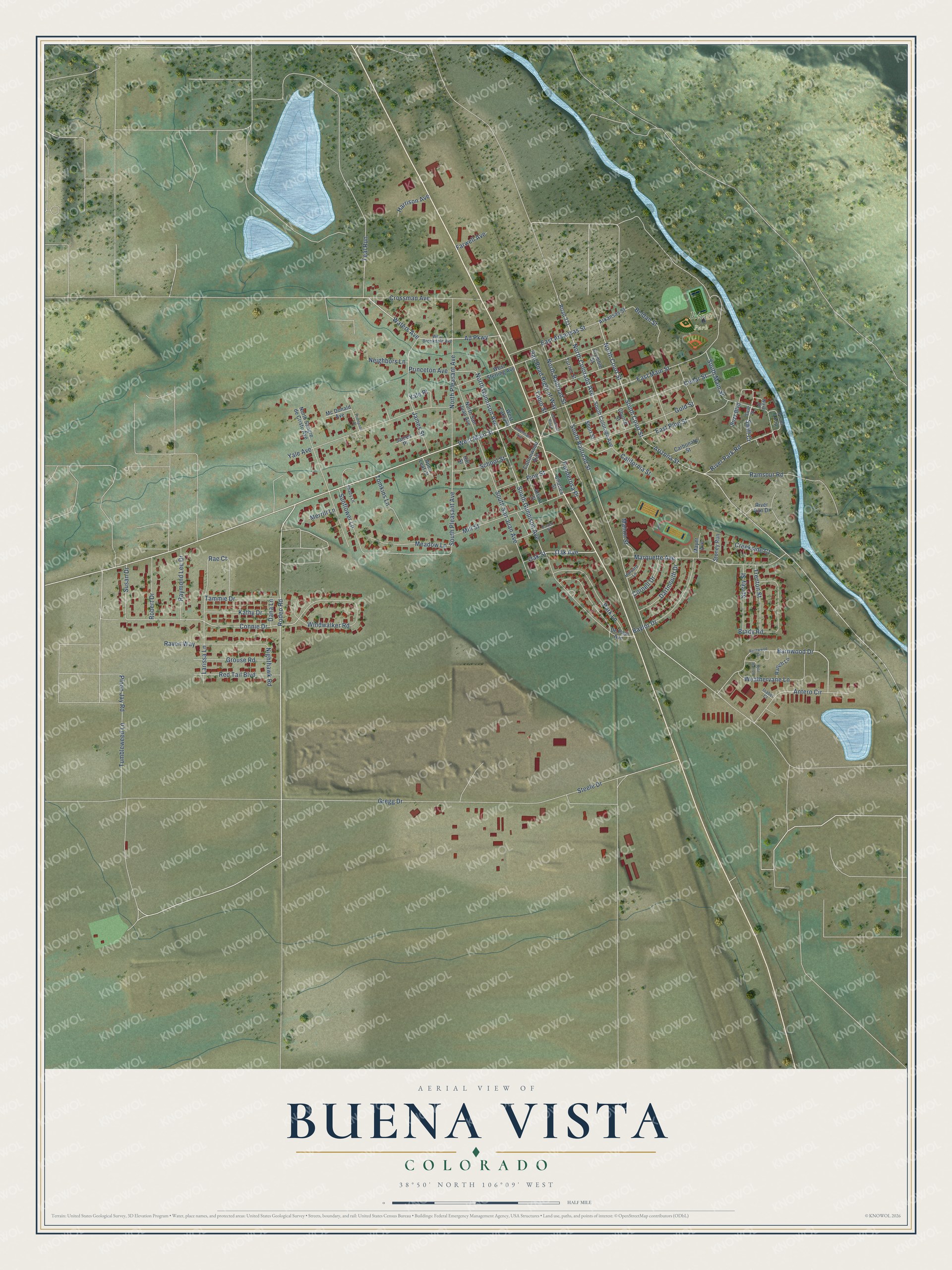
A new map of Buena Vista, Colorado, made in 2026 and printed to order on thick archival matte paper.
12" x 18" Archival Matte Print
A Map of Home. A Work of Art.
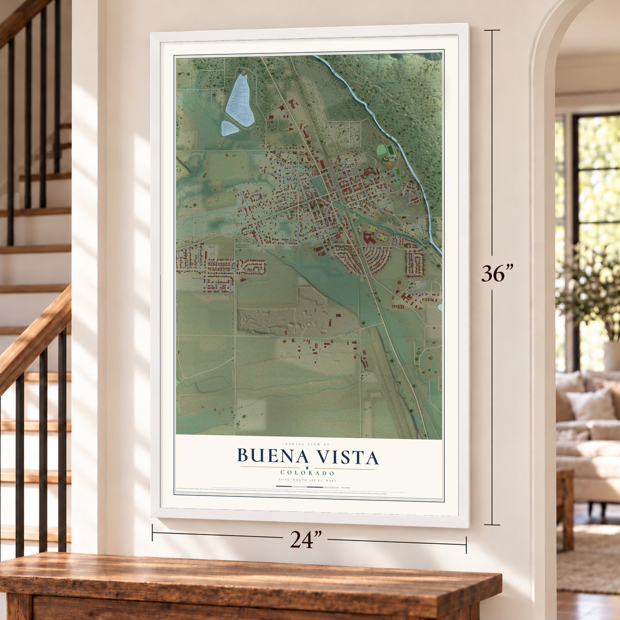
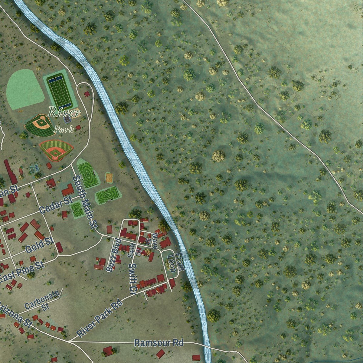
Explore Buena Vista, Colorado from a whole new perspective. Created using aerial imagery and detailed geographic data, this map captures Buena Vista building by building, with labeled streets, familiar landmarks, and shaded topographical relief that highlights the natural contours of the landscape.
Combining modern data with the timeless character of a vintage atlas, this map is just as interesting up close as it is beautiful on the wall. Whether you grew up in Buena Vista, spent memorable years there, or call it home today, this unique map is a great way to celebrate a place that means something to you. Zoom in on the preview to look for your street, and then order a print to put your memories on the wall.
Three ways to hang it
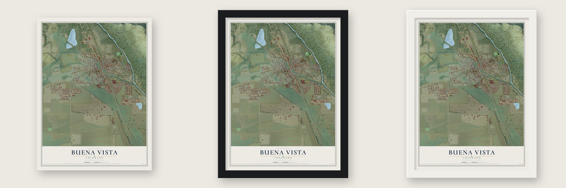
Unframed archival matte, a black wood frame or a white wood frame.
Up close
Geography Worth Displaying
This map was created using accurate cartographic data and authoritative geographic sources, including the U.S. Geological Survey and the Census Bureau. The map brings together terrain, waterways, roads, and building detail. The majority of the streets are labeled, houses are accurately depicted, and the topography is derived from government sources. Combining local data with carefully composed color and shading leads to this beautifully detailed Buena Vista artwork for your wall.
Rather than simply showing street outlines, we’ve included as many of the street names as we could reasonably fit on the map while keeping their names legible. Zoom in on the high resolution preview to see exactly what’s on the map. We truly set out to create a statement piece for anyone who loves Buena Vista. So whether it’s for you, or a gift for someone you love, we hope this map of Buena Vista brings back fond memories.
Read the story behind this map of Buena Vista, Colorado from 2026.

About Buena Vista, Colorado
Buena Vista is a town of 2,855 people in Chaffee County. It sits at 7,965 feet in the Upper Arkansas River Valley, about halfway from Salida to Leadville. Settlers first came to this part of the valley in 1864, because its plentiful water made the land good for farming. A post office opened on September 18, 1879, and the town incorporated that same year.
Alsina Dearheimer chose the name, Spanish for "Good View," over Cottonwood and Mahonville when the town incorporated, and she also set the Americanized way locals say it. Chaffee County first held its court in Granite, a few miles north, but late in 1880 voters gave Buena Vista the permanent county seat. Salida grew larger, and in 1928 the voters moved the seat there.
- A town on three railroadsBuena Vista grew by serving the silver, gold and lead mines of the region. The Denver & Rio Grande, the South Park & Pacific and the Colorado Midland all ran trains here, and miners and speculators bound up the valley for Leadville made the town a stagecoach stop as well. Many of the buildings on its streets went up in the 1880s and 1890s.
- Street lights by 1894By 1894 the town already had electricity, telephones, street lights, parks, cemeteries and schools. The mines rose and fell, but the farms of the valley kept Buena Vista steadier than most mining towns through the boom and bust years.
- Below the Collegiate PeaksThe town lies at the foot of peaks topping 14,000 feet in the Sawatch Range, among them Mount Harvard, Mount Columbia, Mount Yale and Mount Princeton. The wide valley gives Buena Vista milder winters than many mountain towns, and the stretch from here to Salida is known as the "Banana Belt."
- The road to Cottonwood PassChaffee County Road 306 heads west from town and climbs to the top of Cottonwood Pass, at 12,126 feet. Snow closes it from about late October until April or May, but in summer it gives drivers a shorter way to Gunnison and Crested Butte than crossing Monarch Pass.
Find your street
Names on the Buena Vista map
Every name below is printed on this map. Look for your street, your school, the park where you played, or the pond down the road.
Places and landmarks1
- River Park
Streets and roads116
- Rodeo Road
- West Main Street
- North Colorado Avenue
- Waters Avenue
- Antero Circle
- Barnwood Drive
- North Court Street
- South Court Street
- South Gunnison Avenue
- North Gunnison Avenue
- Oak Avenue
- Windwalker Road
- Connie Drive
- East Pine Street
- Swift Cr
- South Railroad Street
- River Park Road
- South Pleasant Avenue
- Gregg Drive
- East Main Street
- Cedar Street
- Arizona Street
- Yale Avenue
- Marquette Avenue
- South San Juan Avenue
- North Pleasant Avenue
- Surrey Street
- Mill Street
- Larissa Lane
- South Main Street
Show all 116 streets
- Tumbleweed Lane
- James Street
- Gold Street
- Crossman Avenue
- Beldan Street
- Pine Street
- Brady Road
- Park Lane
- Raven Way
- Baylor Drive
- Ramsour Road
- Weathervane Lane
- Sunflower Lane
- East Arkansas Street
- Red Tail Boulevard
- Meadow Lane
- Teal Run
- Tammie Drive
- Grouse Road
- Oak Street
- Raymond Lee Drive
- Dartmouth Drive
- Rail Road Right of Way
- Trenton Street
- North Railroad Street
- Kathy Drive
- Tomkins Lane
- Robert Drive
- Rae Court
- School Street
- Tabor Street
- Steele Drive
- Susan Drive
- Neighbors Lane
- Yale Place
- Cornell Drive
- Creekside Court
- Ad Parkway
- California Street
- Pinon Jay Road
- Princeton Avenue
- Mahon Street
- Ponderosa Place
- Harrison Avenue
- Nighthawk Road
- Farwell Avenue
- Merrill Lane
- Dana Lane
- South Colorado Avenue
- West Lake Road
- North Sangre de Cristo Avenue
- North San Juan Avenue
- Cottonwood Avenue
- West Sterling Avenue
- Buzz Boulevard
- River Run Drive
- Carbonate Street
- Front Loop
- Ranch Lane
- Arkansas Street
- Road 371
- James Place
- Alsina Street
- Stoney Run
- Mc Donald Avenue
- De Paul Avenue
- Mayer Avenue
- Crymble Street
- Turner Street
- Church Street
- Charles Street
- Short Street
- Apen Leaf Court
- Hill Street
- West Brookdale Avenue
- Essex Street
- Swift Street
- Harvard Lane
- Shady Lane
- Wave Street
- Isabel Court
- Barnwwod Drive
- Linderman Avenue
- Split Rail Lane
- Thompson Court
- Centennial Plaza
Names are listed as they appear on the printed map. Zoom into the product photos to find them.
The art of mapping a place
How This Map Was Made
Real places. Remarkable detail. Discover the layers that turn geographic data into a map of home.

The view from above
Aerial imagery reveals the character of the land: woodland, open fields, and the patterns of a place.

The shape of the land
Elevation data brings hills, valleys, and subtle changes in the landscape into view.

The details of home
Roads, waterways, and building footprints come together to make the map feel unmistakably local.

Geography becomes art
Considered color, shading, and typography bring the layers together in a map made for your wall.


Process illustrated with Mendon, Massachusetts. Aerial imagery: USDA NAIP. Terrain: USGS 3D Elevation Program. Map details and finished artwork: KNOWOL.
The Details
About This Print
Choose an archival matte print, or a black or white Ayous wood frame. The archival matte print is unframed.
Select your size and finish above to see the matching product image and price.
Materials & Craftsmanship
A contemporary map with the character of a classic atlas, printed on archival matte paper. Optional frames are made from Ayous wood.
Your printed map does not include the watermark shown in the full-map preview.
Shipping & Delivery
Free shipping within the United States. Every print is made to order in the USA.
Buying a gift? Add a note in your cart and we'll include it. We never put prices in the package.
Prints ship within 2 to 3 business days. Allow 7 to 10 days total from ordering for delivery. Timing may vary during holidays or periods of high order volume.
Read our shipping policy.
Returns and damaged prints
Each print is made to order. Change-of-mind refunds are not available after production.
If your print arrives damaged, misprinted or incorrect, contact support@knowol.com within 30 days of receiving it. Include your order number, photos and a description of the issue.
Read our full refund and replacement policy. For questions about your order, email support@knowol.com.
Find your town
Looking for another city?
Find a map of home in our Colorado collection, or any town in the country.
Nearby
Maps of towns near Buena Vista
Know someone from one of these towns? Their map makes a great gift.
 Johnson Village
, Colorado
From $39.99See the map
 Nathrop
, Colorado
From $39.99See the map
 Smeltertown
, Colorado
From $39.99See the map
More maps nearby: Garfield, Twin Lakes, Maysville, Poncha Springs and Salida.