
Search for another town
Free U.S. delivery 7 to 10 days after you order
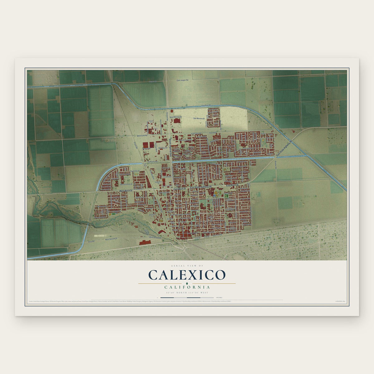
Calexico, California Map Art
Building by building, with labeled streets and shaded relief.
12" x 18" Archival Matte Print
A Map of Home. A Work of Art.
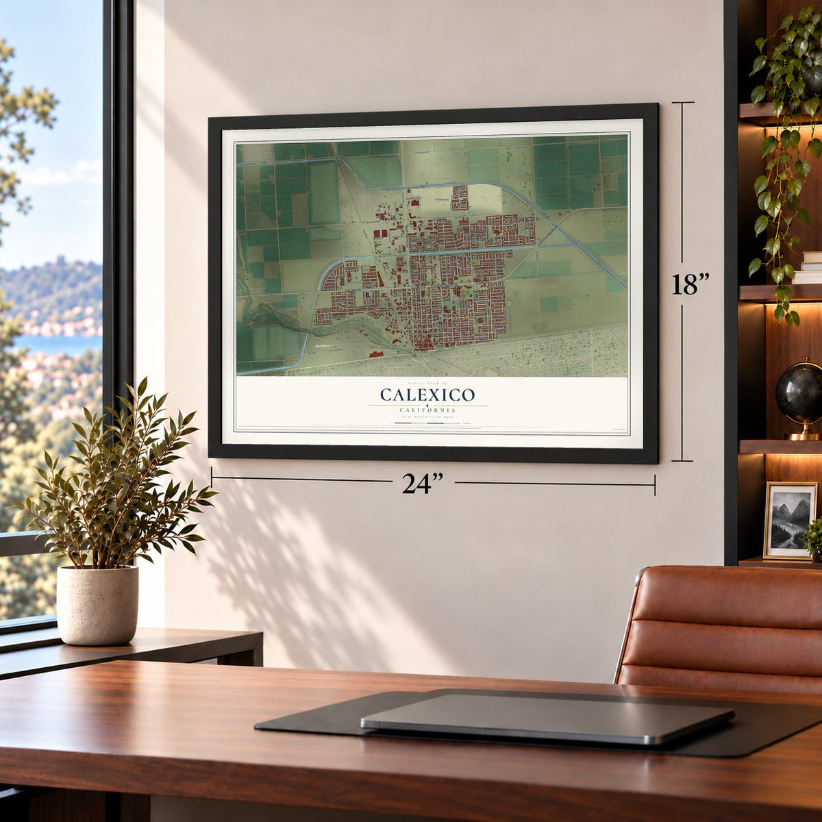
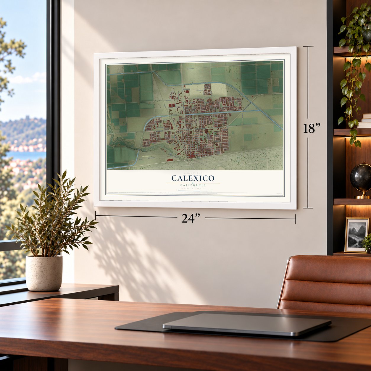
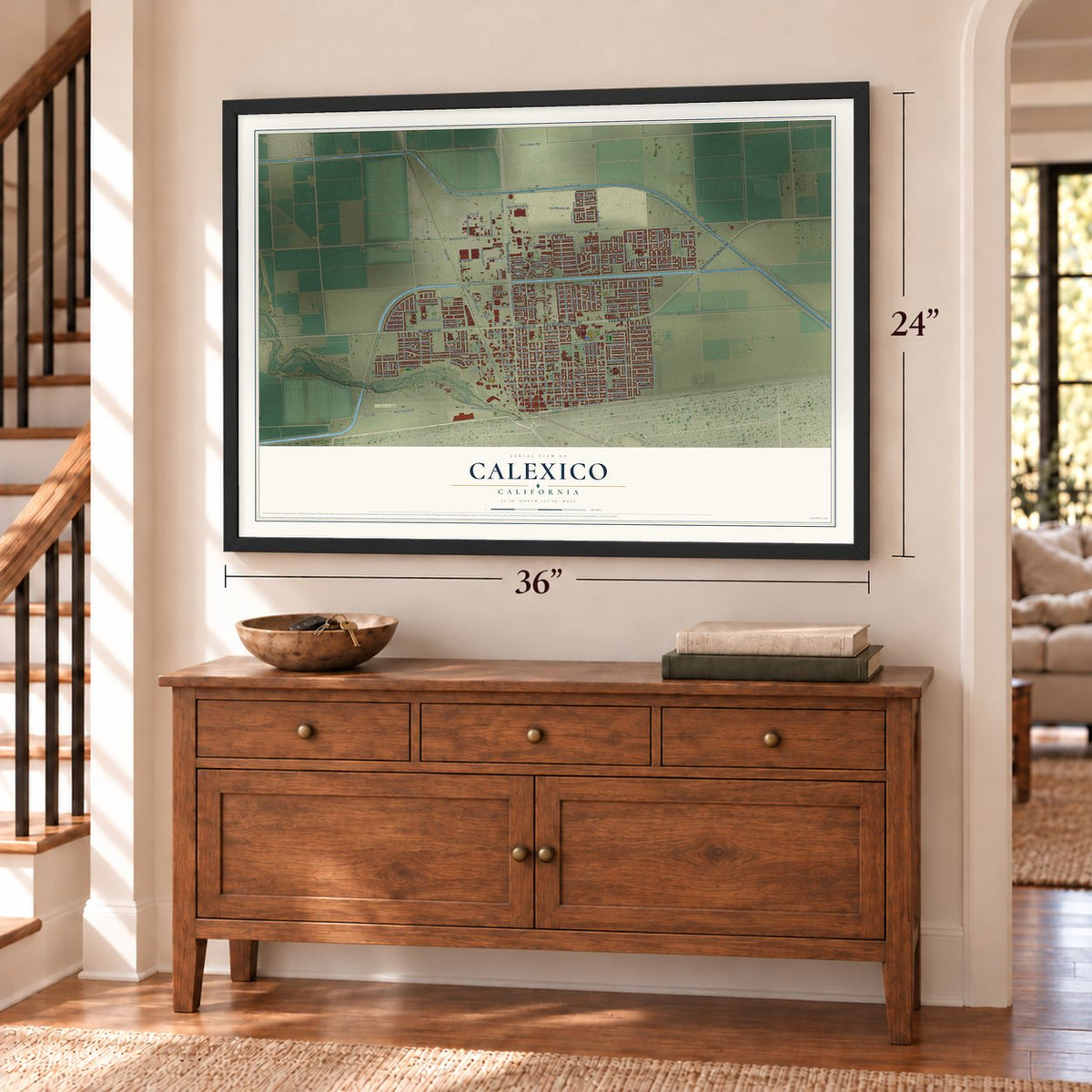
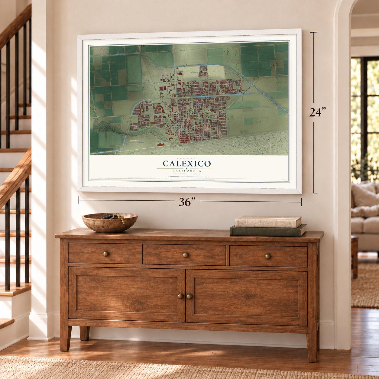
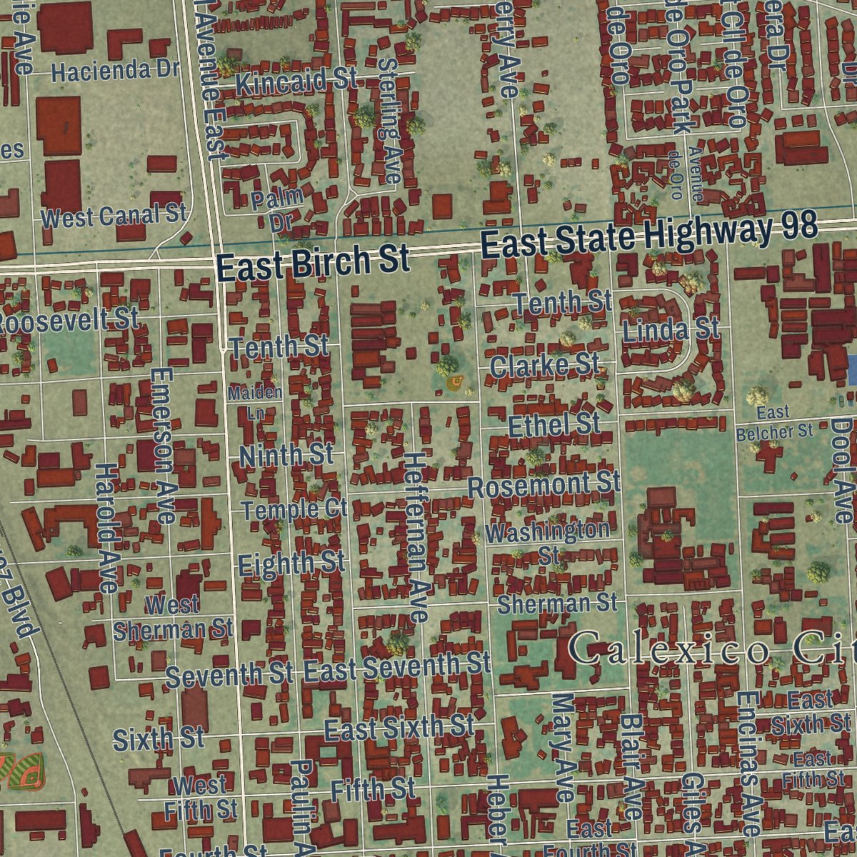
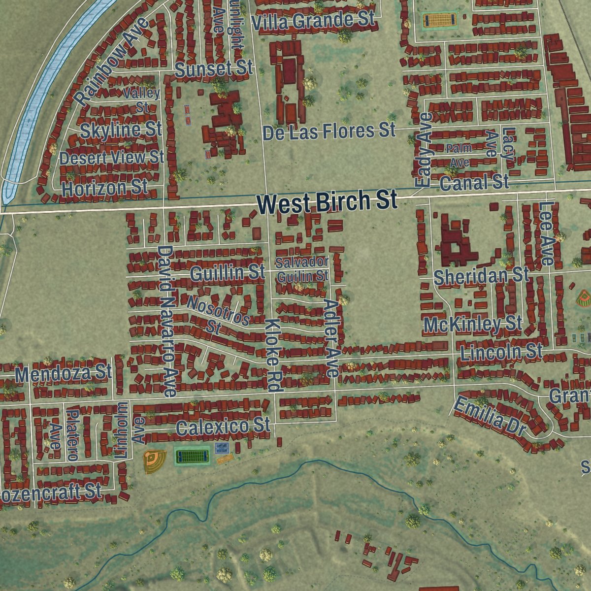
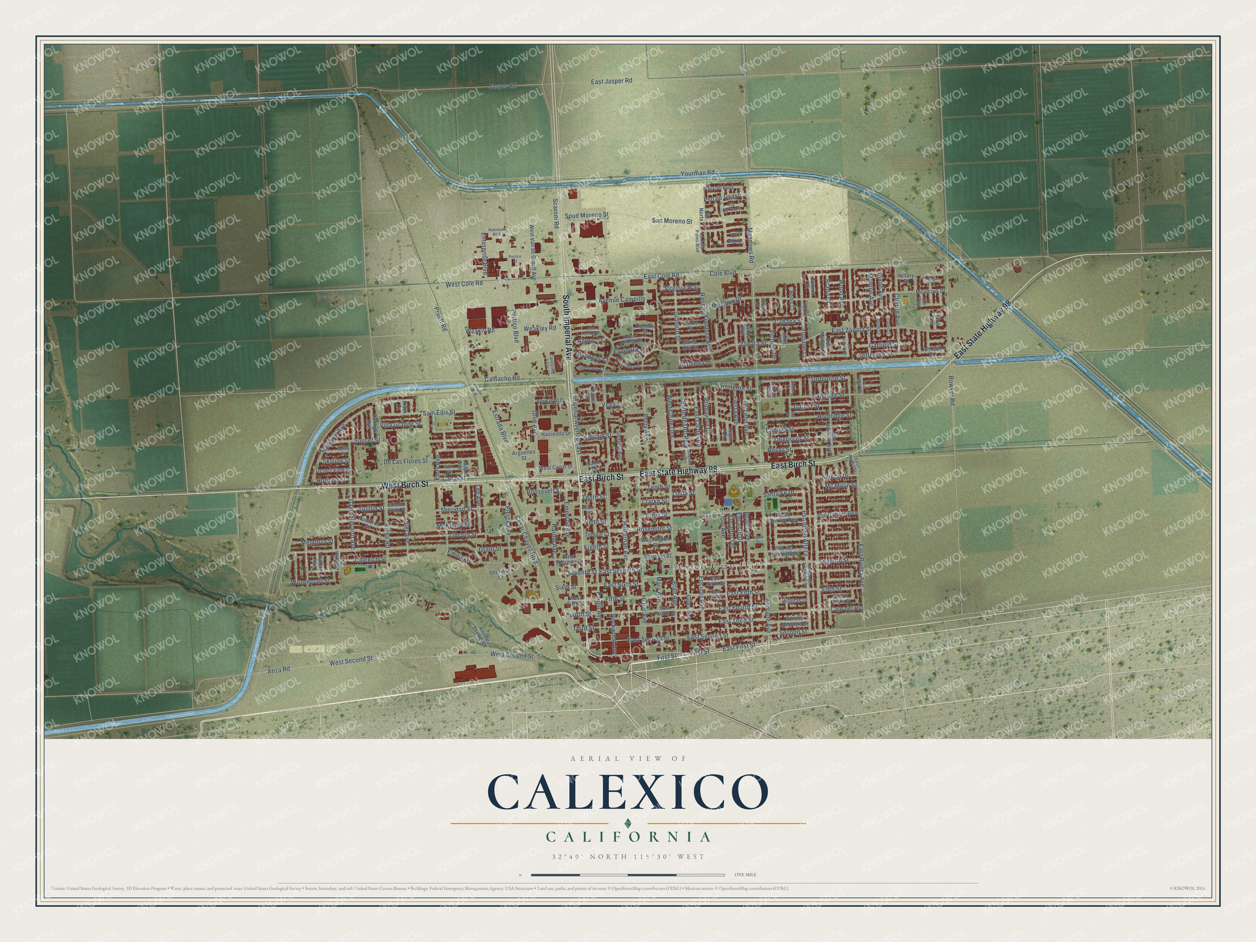
Explore Calexico, California from a whole new perspective. Created using aerial imagery and detailed geographic data, this map captures Calexico building by building, with labeled streets, familiar landmarks, and shaded topographical relief that highlights the natural contours of the landscape.
Combining modern data with the timeless character of a vintage atlas, this map is just as interesting up close as it is beautiful on the wall. Whether you grew up in Calexico, spent memorable years there, or call it home today, this unique map is a great way to celebrate a place that means something to you. Zoom in on the preview to look for your street, and then order a print to put your memories on the wall.
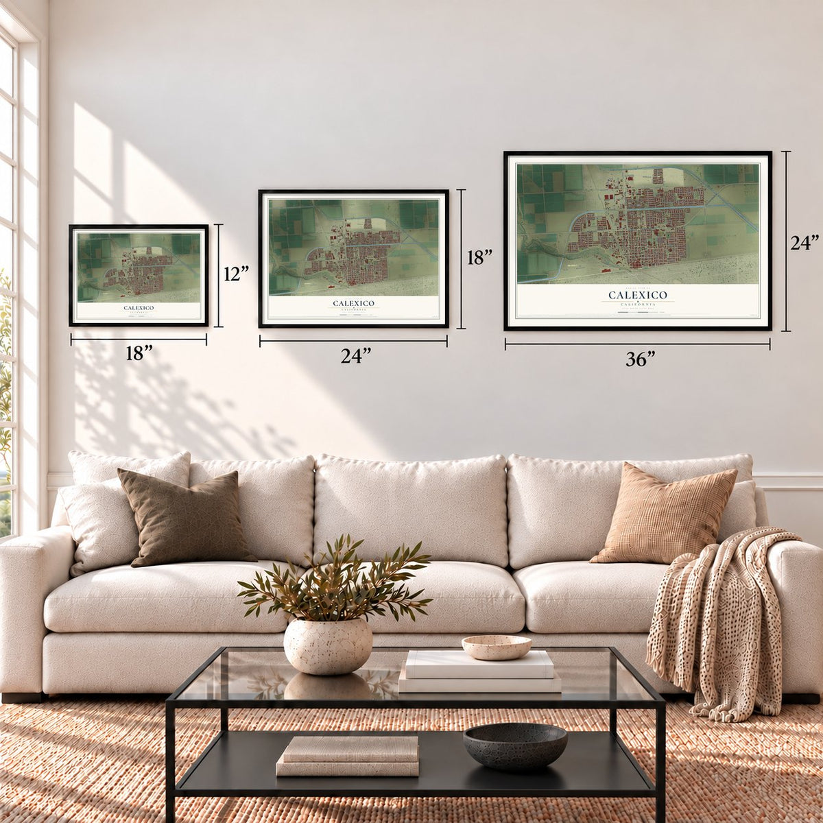
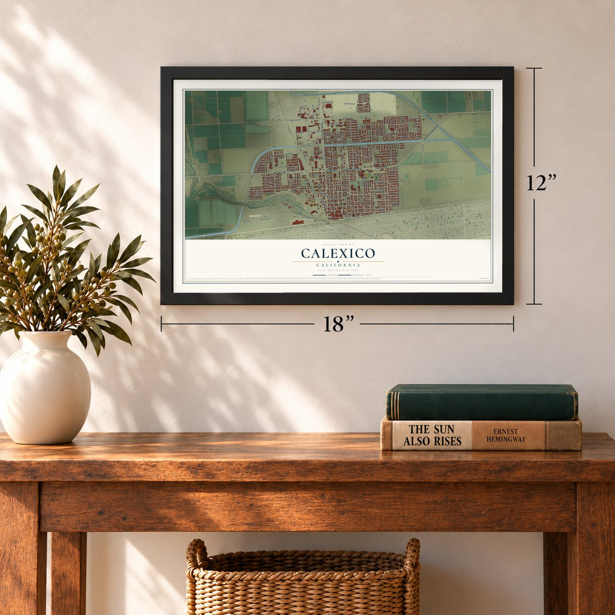
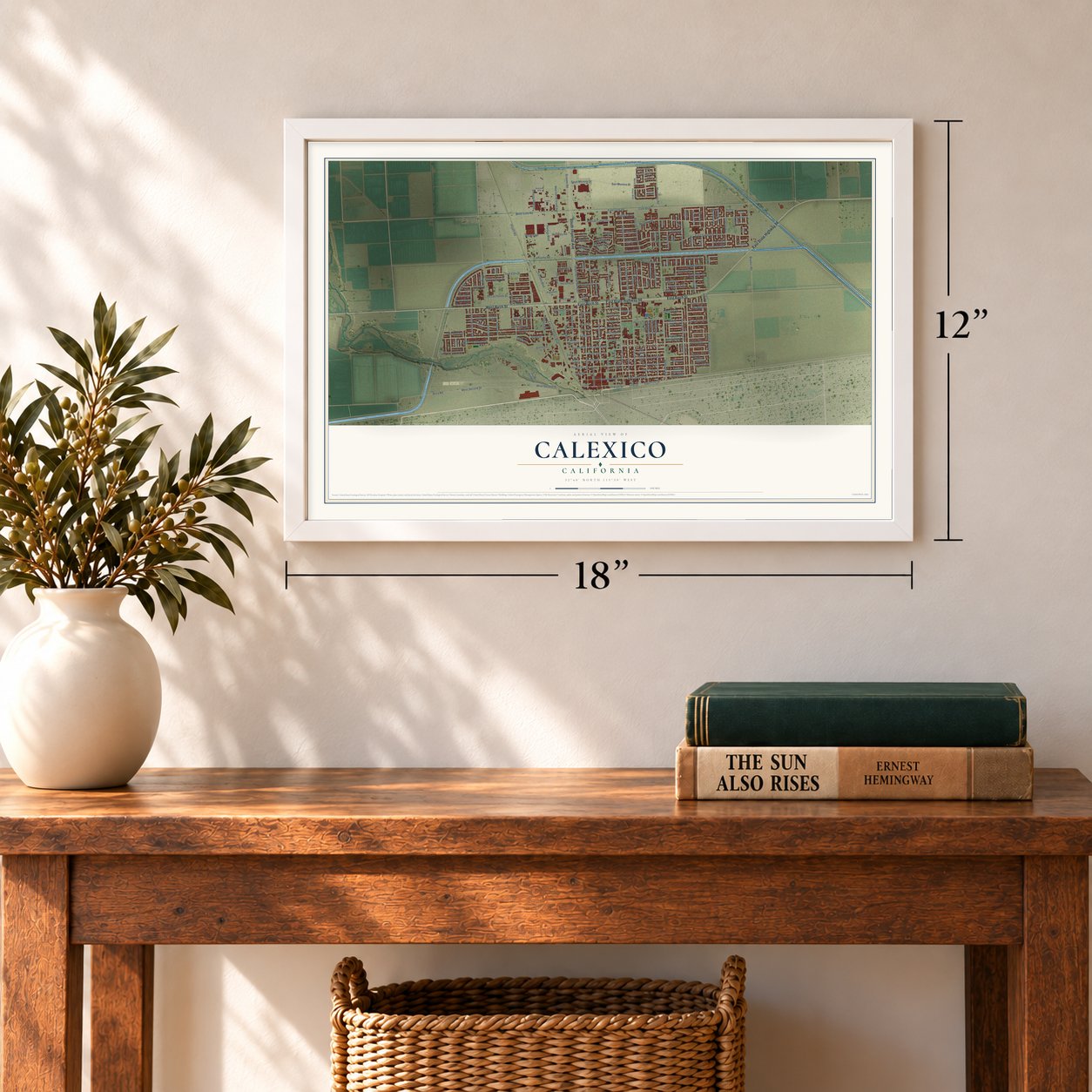
Three ways to hang it
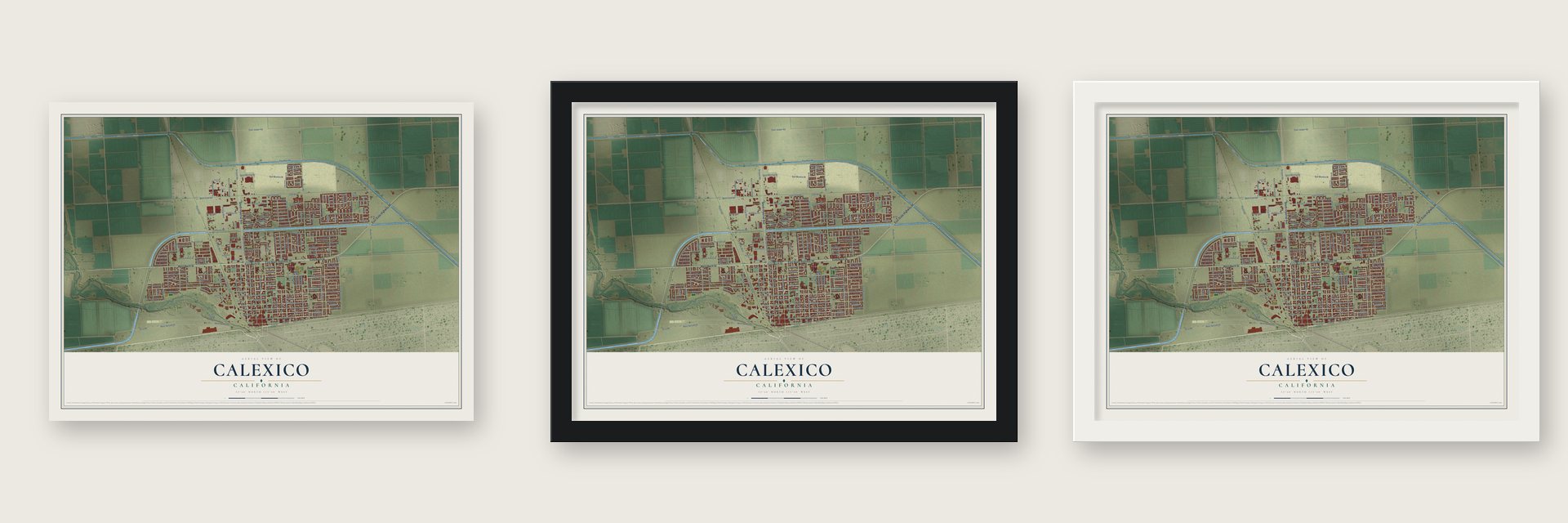
Unframed archival matte, a black wood frame or a white wood frame.
Up close
Geography Worth Displaying
This map was created using accurate cartographic data and authoritative geographic sources, including the U.S. Geological Survey and the Census Bureau. The map brings together terrain, waterways, roads, and building detail. The majority of the streets are labeled, houses are accurately depicted, and the topography is derived from government sources. Combining local data with carefully composed color and shading leads to this beautifully detailed Calexico artwork for your wall.
Rather than simply showing street outlines, we’ve included as many of the street names as we could reasonably fit on the map while keeping their names legible. Zoom in on the high resolution preview to see exactly what’s on the map. We truly set out to create a statement piece for anyone who loves Calexico. So whether it’s for you, or a gift for someone you love, we hope this map of Calexico brings back fond memories.
Read the story behind this map of Calexico, California from 2026.
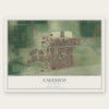
Find your street
Names on the Calexico map
Every name below is printed on this map. Look for your street, your school, the park where you played, or the pond down the road.
Places and landmarks2
- Calexico City Hall
- Valle de Oro Park
Streets and roads205
- South Imperial Avenue
- East State Highway 98
- East Birch Street
- West Birch Street
- Cabana Street
- East Seventh Street
- Yourman Road
- Alameda Street
- Meadows Road
- Granero Street
- Zapata Street
- East Fifth Street
- West Cole Road
- Pierce Avenue
- Spud Moreno Street
- Fifth Street
- East Zapata Street
- Imperial Avenue East
- Perry Avenue
- Wood Avenue
- East Cole Road
- Rockwood Avenue
- Andrade Avenue
- Scaroni Road
- Grant Street
- Anza Road
- West Second Street
- Lincoln Street
- East Second Street
- Paulin Avenue
Show all 205 streets
- Seventh Street
- Jasper Road
- Holdridge Street
- East Fourth Street
- East Third Street
- Encinas Avenue
- East Jasper Road
- Bowker Road
- Blair Avenue
- Rancho Frontera Avenue
- Heber Avenue
- Cesar Chavez Boulevard
- East First Street
- First Street
- Kloke Road
- Sheridan Street
- Fourth Street
- Heffernan Avenue
- Portico Boulevard
- Emerson Avenue
- Estrada Boulevard
- Third Street
- East Rivera Avenue
- Pso de Su Alteza
- Dool Avenue
- David Navarro Avenue
- Ollie Avenue
- San Moreno Street
- Meadow Drive
- East Sixth Street
- Beach Avenue
- Sapphire Street
- Ethel Street
- Eady Avenue
- Cole Boulevard
- Pruett Road
- Second Street
- Camacho Road
- Weakley Road
- Weakly Road
- Rainbow Avenue
- Harold Avenue
- De Las Flores Street
- Sam Ellis Street
- Cam del Rio
- Rosas Street
- Eighth Street
- McKinley Street
- Clinton Avenue
- Sixth Street
- Avenue Campillo
- Giles Avenue
- Mary Avenue
- Turquoise Street
- West Cll de Oro
- Sunset Street
- East Cll de Oro
- Harrington Street
- Calexico Street
- Guillin Street
- Clarke Street
- Rosemont Street
- Garnet Street
- Tenth Street
- De Leon Avenue
- Adler Avenue
- Roosevelt Street
- Lee Avenue
- Fiesta Avenue
- Garfield Street
- Jefferson Street
- Primavera Drive
- Enterprise Boulevard
- Emilia Drive
- Camilia Street
- Vega Street
- Encanto Drive
- Kincaid Street
- Pso de Ocaso
- Encanto Terrace
- Wozencraft Street
- Villa Grande Street
- Sereno Drive
- Canal Street
- Virginia Way
- Santa Fe Drive
- Mendoza Street
- Victoria Drive
- Obeliscos Street
- Horizon Street
- Brado Court
- Espinoza Street
- Monroe Avenue
- Nixon Avenue
- Mc Millin Street
- Annos Court
- Banagas Court
- Skyline Street
- Ninth Street
- Linda Street
- Yturralde Court
- Pasco Camino Real
- Pso Camino Real
- West Sherman Street
- Sherman Street
- West Canal Street
- Santa Ana Street
- Nosotros Street
- Lacy Avenue
- Emil Hashem Avenue
- West Van de Graaff Avenue
- Meadows Drive
- West Fifth Street
- Animal Shelter Drive
- Pso del Conquistador
- Rancho Elegante Drive
- Hacienda Drive
- Desert View Street
- Linholm Avenue
- Sterling Avenue
- Vernardo Drive
- Del Norte
- Sunlight Avenue
- Washington Street
- Banda Avenue
- Milpitas Drive
- Temple Court
- East Medina Street
- Arguelles Street
- Camino Drive
- Johnson Street
- Sherman Court
- Hems Court
- Daniels Street
- Plaza Drive
- Platero Avenue
- Elena Drive
- Hillary Street
- El Berro
- Palm Drive
- Ford Avenue
- River Drive
- Paseo de Su Alteza Street
- Playa del Norte
- Salvador Guilin Street
- Establo Street
- Robert Kennedy Street
- Hernandez Street
- La Jolla Palms Boulevard
- East Rivera Street
- Camarena Court
- Valley Street
- Doctor Amalia Street
- California Court
- Via Barranca
- Bush Court
- Emerald Way
- Acuna Court
- Taft Avenue
- Zircon Court
- Bellia Court
- Yturralde Street
- Jm Grijalva Street
- East Belcher Street
- Iris Avenue
- John Kennedy Street
- Palm Avenue
- Robinson Boulevard
- Avenue de Oro
- Estrado Boulevard
- East Cantu Avenue
- Carter Court
- Portico Court
- Reagan Street
- Maiden Lane
Names are listed as they appear on the printed map. Zoom into the product photos to find them.
About Calexico, California
Calexico is a city of 38,633 people in Imperial County, on the Mexican border across from Mexicali, the capital of Baja California. In 1901 the California Development Company set up its engineering headquarters on the east bank of the New River, just north of the boundary line. Settlers joined the company's offices to form a small settlement, and in 1903 the townsite was surveyed and divided into lots.
No land in the Imperial Valley was watered by canal before the fields around the town, and the early crops showed the desert could be farmed. Calexico became a sixth-class city in April 1908. A $20,000 bond issue in 1909 began paying for paved streets, concrete sidewalks, a water system and sewers. At the start of 1918, a census counted a little more than 4,000 people.
“The tent city of the Imperial Land Company was the first Calexico. A press agent of this company is said to have coined the names of the twin cities of Calexico and Mexicali (just over the border) by combining syllables from the words California and Mexico.”
- Cotton worth $13,000,000Once growers learned the Imperial Valley could raise cotton, it became the leading crop on both sides of the border, including Mexican land leased by Americans. The valley's first crop sold to one big mill for $25,000. About seven years later, the 1918 crop was valued at $13,000,000, close to 65,000 bales. Calexico had cotton gins and a cotton compress that gave work to many skilled laborers.
- A busy port of entryBy 1918, imports through the port at Calexico had topped those of Los Angeles, San Diego and Tia Juana combined for two years in a row.
- Carnegie Library from 1918The Calexico Carnegie Library was built in 1918 on land the city set aside for a park and civic center, beside the Calexico Union High School. The library joined the National Register in 2005.
- Red Ribbon Week began hereIn the mid to late 1980s, Calexico began honoring Enrique "Kiki" Camarena, a DEA officer. The tribute grew into Red Ribbon Week, a national campaign against drugs and violence in schools, and Nancy Reagan championed it.
Keep exploring California
Calexico is one of 1,990 California towns we've mapped. Every dot on the map is a print of its own.
The search covers every state, California first.
Near Calexico
Order 2 or more town maps and save 10%. Shown in the size and finish you picked above, so they hang as a set.
- Heber 12" x 18" / Archival Matte Print $39.99
- El Centro 12" x 18" / Archival Matte Print $39.99
- Anza 12" x 18" / Archival Matte Print $39.99
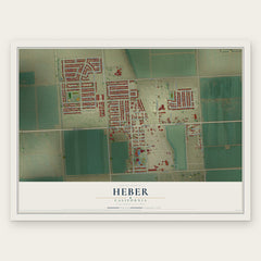
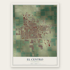
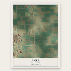
More maps nearby: Holtville, Imperial, Seeley, El Centro Naval Air Facility and Brawley.
The art of mapping a place
How This Map Was Made
Real places. Remarkable detail. Discover the layers that turn geographic data into a map of home.

The view from above
Aerial imagery reveals the character of the land: woodland, open fields, and the patterns of a place.

The shape of the land
Elevation data brings hills, valleys, and subtle changes in the landscape into view.

The details of home
Roads, waterways, and building footprints come together to make the map feel unmistakably local.

Geography becomes art
Considered color, shading, and typography bring the layers together in a map made for your wall.


Process illustrated with Mendon, Massachusetts. Aerial imagery: USDA NAIP. Terrain: USGS 3D Elevation Program. Map details and finished artwork: KNOWOL.
The Details
About This Print
Choose an archival matte print, or a black or white Ayous wood frame. The archival matte print is unframed.
Select your size and finish above to see the matching product image and price.
Materials & Craftsmanship
A contemporary map with the character of a classic atlas, printed on archival matte paper. Optional frames are made from Ayous wood.
Your printed map does not include the watermark shown in the full-map preview.
Shipping & Delivery
Free shipping within the United States. Every print is made to order in the USA.
Buying a gift? Add a note in your cart and we'll include it. We never put prices in the package.
Prints ship within 2 to 3 business days. Allow 7 to 10 days total from ordering for delivery. Timing may vary during holidays or periods of high order volume.
Read our shipping policy.
Returns and damaged prints
Each print is made to order. Change-of-mind refunds are not available after production.
If your print arrives damaged, misprinted or incorrect, contact support@knowol.com within 30 days of receiving it. Include your order number, photos and a description of the issue.
Read our full refund and replacement policy. For questions about your order, email support@knowol.com.