
Search for another town

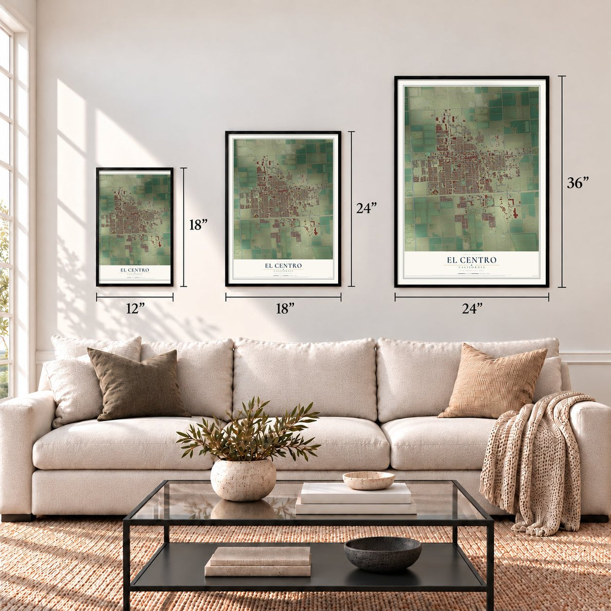

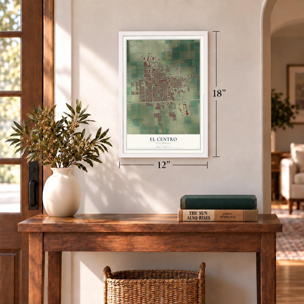
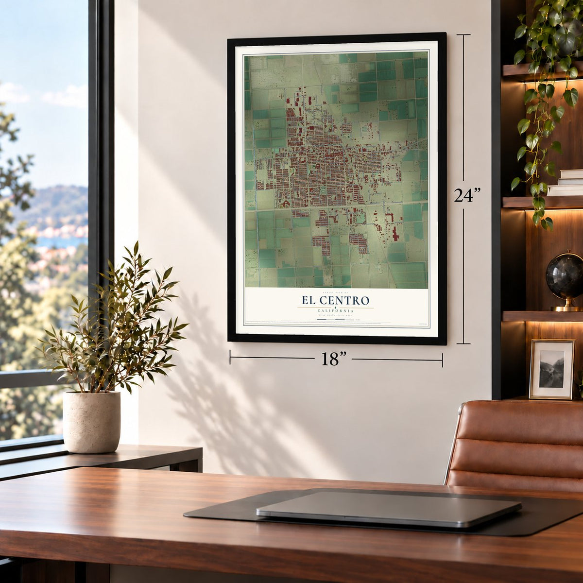
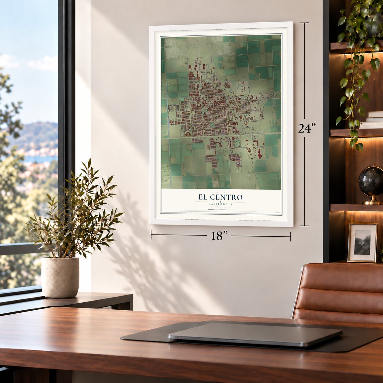
Free U.S. delivery 7 to 10 days after you order
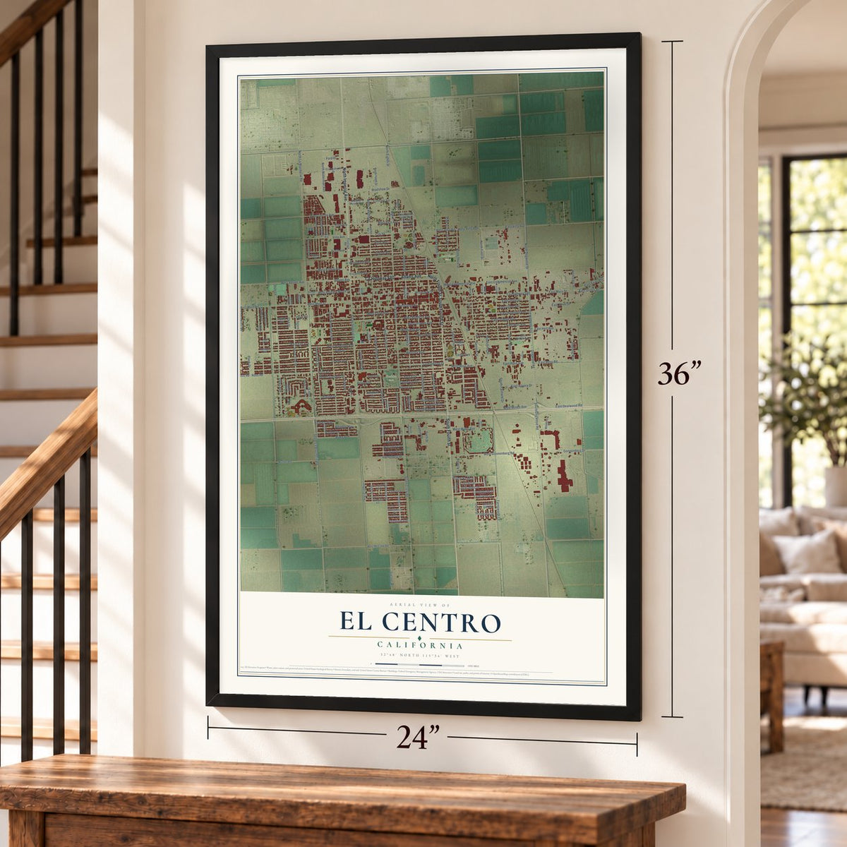
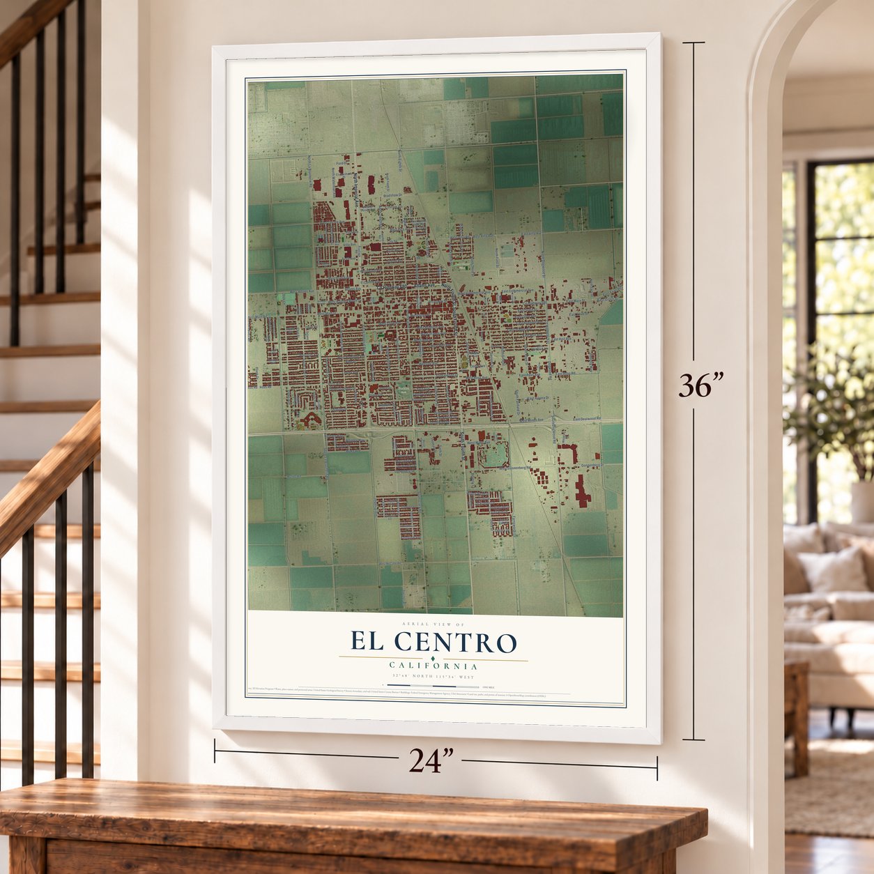
El Centro, California Map Art
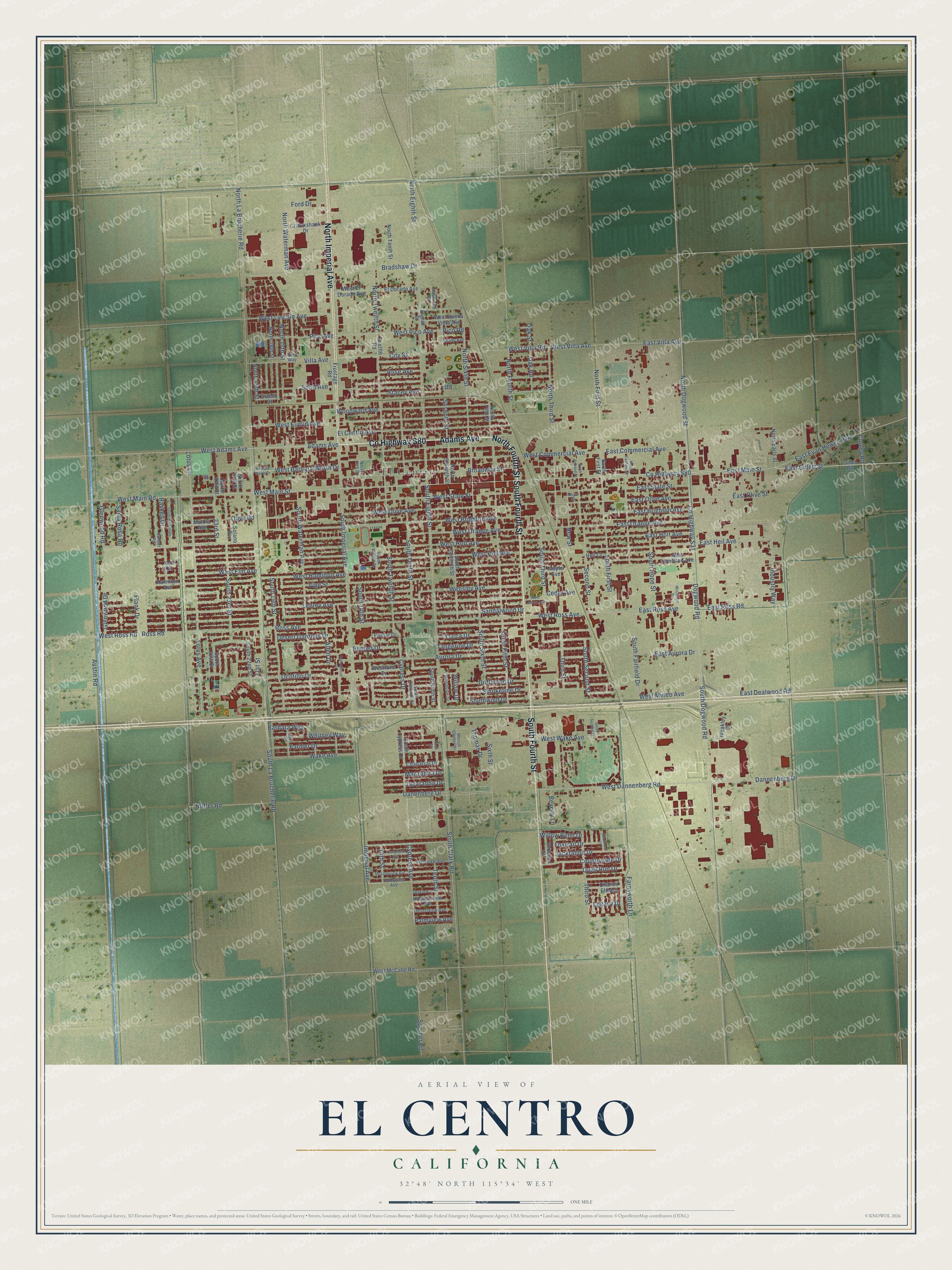
A new map of El Centro, California, made in 2026 and printed to order on thick archival matte paper.
12" x 18" Archival Matte Print
A Map of Home. A Work of Art.
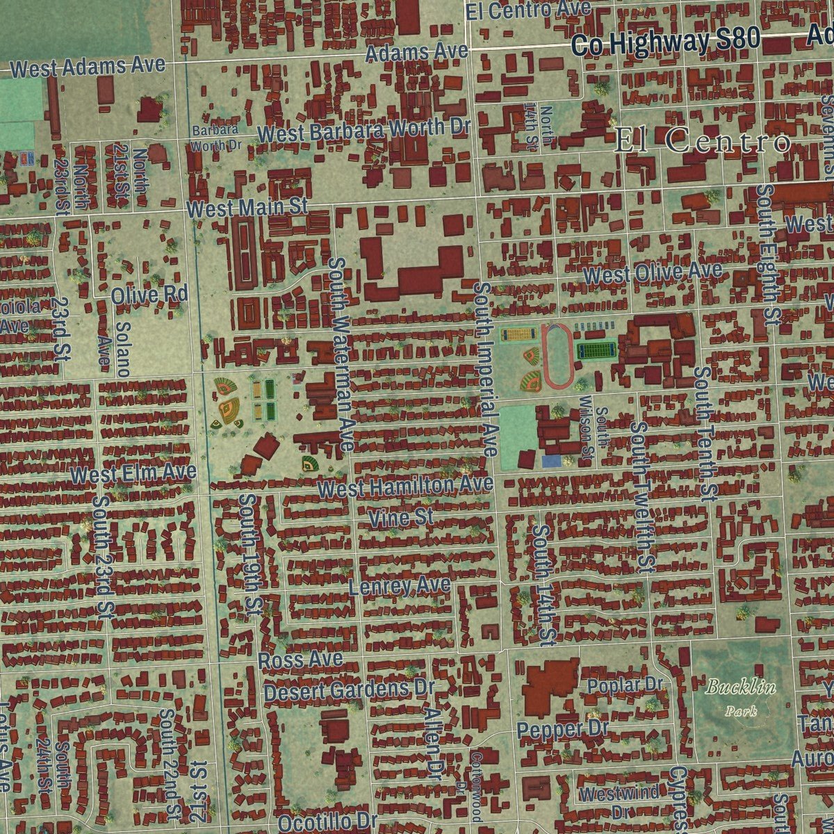
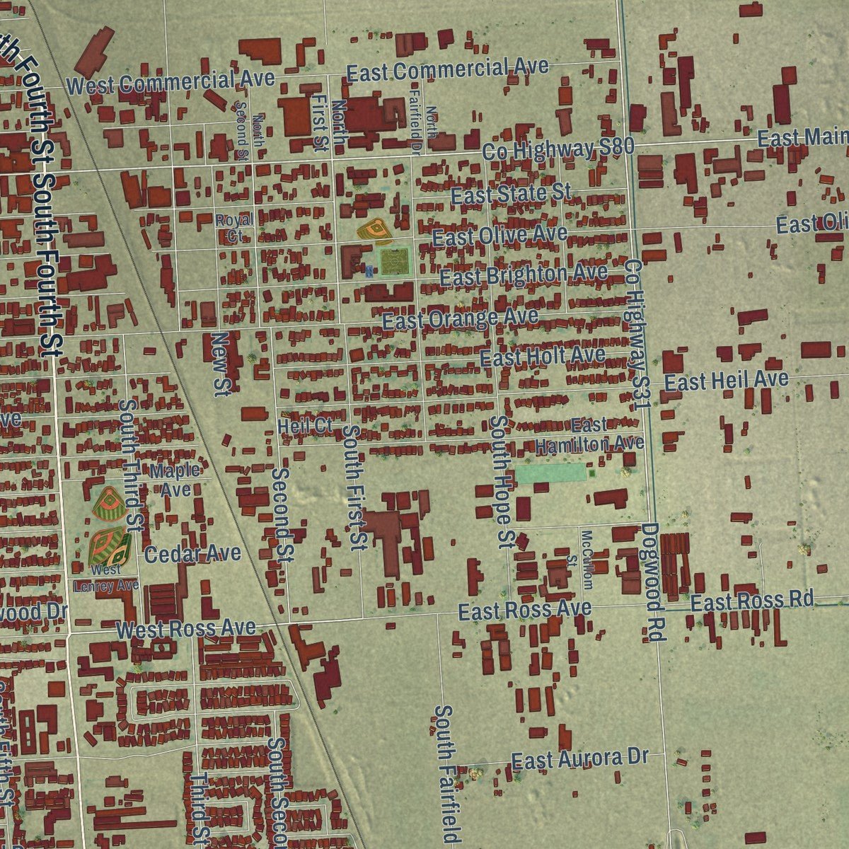
Explore El Centro, California from a whole new perspective. Created using aerial imagery and detailed geographic data, this map captures El Centro building by building, with labeled streets, familiar landmarks, and shaded topographical relief that highlights the natural contours of the landscape.
Combining modern data with the timeless character of a vintage atlas, this map is just as interesting up close as it is beautiful on the wall. Whether you grew up in El Centro, spent memorable years there, or call it home today, this unique map is a great way to celebrate a place that means something to you. Zoom in on the preview to look for your street, and then order a print to put your memories on the wall.
Three ways to hang it
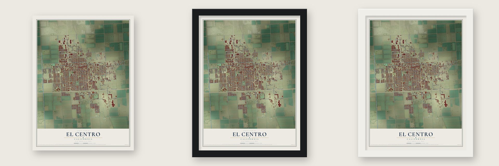
Unframed archival matte, a black wood frame or a white wood frame.
Up close
Geography Worth Displaying
This map was created using accurate cartographic data and authoritative geographic sources, including the U.S. Geological Survey and the Census Bureau. The map brings together terrain, waterways, roads, and building detail. The majority of the streets are labeled, houses are accurately depicted, and the topography is derived from government sources. Combining local data with carefully composed color and shading leads to this beautifully detailed El Centro artwork for your wall.
Rather than simply showing street outlines, we’ve included as many of the street names as we could reasonably fit on the map while keeping their names legible. Zoom in on the high resolution preview to see exactly what’s on the map. We truly set out to create a statement piece for anyone who loves El Centro. So whether it’s for you, or a gift for someone you love, we hope this map of El Centro brings back fond memories.
Read the story behind this map of El Centro, California from 2026.

About El Centro, California
El Centro is a city of 44,322 people and the seat of Imperial County, in the desert of the Imperial Valley. The valley was once part of San Diego County, and farmers settled it only after canals brought Colorado River water to the dry valley floor. Before there was any town here, the railroad put a station on the spot and called it Cabarker, after C.A. Barker, a friend of the owner.
In 1906 W. F. Holt and Barker bought the land for about $40 an acre and spent $100,000 improving it. The city incorporated on April 16, 1908, a year after Imperial County was carved out of San Diego County. El Centro then beat the nearby city of Imperial in its fight to become the county seat, and that win helped it grow from 1,610 people in 1910 to 5,646 by 1920.
“El Centro (the center) , three miles from Imperial and so-named because it is practically the center of the valley.”
- Six rival townsEl Centro was one of six cities founded within twenty miles of one another in a single generation, and each wanted to be the leading town of the valley. Loyalties on the County Board of Supervisors ran so strong that the valley waited twenty years for a county fair. By the mid-1940s El Centro had about 11,000 people and the offices of the Imperial Irrigation District.
- The 1940 earthquakeThe El Centro earthquake of 1940 reached magnitude 6.9 and an intensity of X on the Mercalli scale. A strong-motion seismograph sat right beside the fault rupture, so it became the first major quake measured that way. Structural engineers studied its record closely and treated it as the typical earthquake until Northridge in 1994.
- Snow on the desert, 1934Snow almost never falls here, but a powerful winter storm brought record cold to the Imperial Valley. Flakes began at 8:45 p.m. on December 11, and by 5 a.m. on December 12 the desert floor lay under 1 to 4 inches of snow.
- Easter Sunday, 2010On April 4, 2010, a magnitude 7.2 earthquake struck near Guadalupe Victoria, Mexico, and shook El Centro for nearly 90 seconds. It damaged homes, public buildings and water lines. The city's public library and its aging water tower at Eighth Street and Vine Avenue were both too badly hurt to save, so the city demolished them. Local sales tax measures later paid for a new library.
Find your street
Names on the El Centro map
Every name below is printed on this map. Look for your street, your school, the park where you played, or the pond down the road.
Places and landmarks3
- El Centro
- Bucklin Park
- Swarthout Field
Streets and roads211
- South Fourth Street
- County Highway S80
- North Imperial Avenue
- Adams Avenue
- North Fourth Street
- West Main Street
- East Main Street
- North Dogwood Street
- Imperial Avenue
- Dannenberg Drive
- East Gillett Street
- South Dogwood Road
- South First Street
- Dogwood Road
- Ross Avenue
- West Ross Avenue
- Whitney Way
- Cypress Drive
- West Dannenberg Road
- 14th Street
- Thomas Drive
- Cypress Avenue
- West Wake Avenue
- Pico Road
- Pepper Drive
- Quail Run Drive
- Ford Drive
- County Highway S31
- West Orange Avenue
- West Hamilton Avenue
Show all 211 streets
- South La Brucherie Road
- Wensley Avenue
- West Brighton Avenue
- Lenrey Avenue
- West Holt Avenue
- West Olive Avenue
- Austin Road
- West Heil Avenue
- North Eighth Street
- West Euclid Avenue
- Sandalwood Drive
- Ocotillo Drive
- West State Street
- Smoketree Drive
- Lotus Avenue
- Lotus Lane
- Aurora Drive
- North La Brucherie Road
- West Commercial Avenue
- Vine Street
- Driftwood Drive
- South Eighth Street
- South Fifth Street
- South Sixth Street
- North Twelfth Street
- South Waterman Avenue
- South Clark Road
- South Third Street
- Third Street
- Broadway Street
- West Pico Avenue
- South Imperial Avenue
- Second Street
- South Second Street
- Desert Gardens Drive
- Bradshaw Drive
- North Sixth Street
- South Fairfield Drive
- El Centro Avenue
- Scott Avenue
- East Heil Avenue
- Wake Avenue
- Woodward Avenue
- South Tenth Street
- Southwind Drive
- Yucca Drive
- South 19th Street
- North Third Street
- South Hope Street
- West Lincoln Avenue
- Seventh Street
- West Barbara Worth Drive
- Haskell Drive
- Tangerine Drive
- West Elm Avenue
- West Villa Avenue
- West Villa Road
- West Main Road
- South Twelfth Street
- South 23rd Street
- Villa Avenue
- South 14th Street
- Farmer Drive
- North Waterman Avenue
- East Dealwood Road
- North First Street
- East Olive Avenue
- Ross Road
- West Ross Road
- East Evan Hewes Highway
- East Ross Road
- East Orange Avenue
- East Brighton Avenue
- Stacey Avenue
- Sperber Road
- Farnsworth Lane
- East Commercial Avenue
- City Street
- East Ross Avenue
- East Holt Avenue
- East Villa Avenue
- Nuffer Road
- North 17th Street
- Countryside Drive
- Barbara Way
- West Adams Avenue
- West Mineo Avenue
- Jackrabbit Drive
- Industry Way
- Oak Road
- New Street
- Pico Avenue
- East Aurora Drive
- East State Street
- Danenberg Drive
- Glenwood Drive
- Manzanita Drive
- Jacaranda Drive
- Allen Drive
- Tenth Street
- 23rd Street
- Olive Road
- East Olive Street
- Glenwood Road
- Santa Rosa Road
- Foxtrail Drive
- Willow Bend Drive
- Plank Drive
- Rose Avenue
- Palmview Avenue
- Cooley Road
- North 19th Street
- Beverly Lane
- Legacy Drive
- Cedar Avenue
- Sixth Street
- Willow Drive
- 21st Street
- Oak Street
- South Cypress Drive
- Solano Avenue
- Chaparral Drive
- Stacey Court
- Eighth Street
- South Seventh Street
- North Seventh Street
- North Tenth Street
- Westwind Drive
- El Dorado Avenue
- West El Dorado Avenue
- Twelfth Road
- East Hamilton Avenue
- South Ninth Street
- North Fifth Street
- Gillet Road
- North 18th Street
- West McCabe Road
- South 22nd Street
- West Buena Vista Avenue
- Cruickshank Drive
- Frontage Road
- South 24th Street
- North Earls Street
- Moiola Avenue
- Charles Elmore
- Rebecca Street
- Weakley Street
- Poplar Drive
- Hamilton Avenue
- Maple Avenue
- North 21st Street
- North 23rd Street
- Heil Court
- Heil Circle
- Valleyview Avenue
- South Eleventh Street
- Fieldview Avenue
- Sunset Road
- Villa Way
- Desertview Avenue
- Mountainview Avenue
- 19th Street
- Woodside Drive
- North 14th Street
- Skyview
- South Wilson Street
- Sandy Avenue
- McDonald Road
- Merrill Center Drive
- Royal Court
- Barbara Worth Drive
- McCullom Street
- Meadowview Avenue
- Cottonwood Drive
- Riverview Avenue
- South Haskell Drive
- North Second Street
- North Fairfield Drive
- West Lenrey Avenue
- Sunflower Court
- Ninth Street
Names are listed as they appear on the printed map. Zoom into the product photos to find them.
The art of mapping a place
How This Map Was Made
Real places. Remarkable detail. Discover the layers that turn geographic data into a map of home.

The view from above
Aerial imagery reveals the character of the land: woodland, open fields, and the patterns of a place.

The shape of the land
Elevation data brings hills, valleys, and subtle changes in the landscape into view.

The details of home
Roads, waterways, and building footprints come together to make the map feel unmistakably local.

Geography becomes art
Considered color, shading, and typography bring the layers together in a map made for your wall.


Process illustrated with Mendon, Massachusetts. Aerial imagery: USDA NAIP. Terrain: USGS 3D Elevation Program. Map details and finished artwork: KNOWOL.
The Details
About This Print
Choose an archival matte print, or a black or white Ayous wood frame. The archival matte print is unframed.
Select your size and finish above to see the matching product image and price.
Materials & Craftsmanship
A contemporary map with the character of a classic atlas, printed on archival matte paper. Optional frames are made from Ayous wood.
Your printed map does not include the watermark shown in the full-map preview.
Shipping & Delivery
Free shipping within the United States. Every print is made to order in the USA.
Buying a gift? Add a note in your cart and we'll include it. We never put prices in the package.
Prints ship within 2 to 3 business days. Allow 7 to 10 days total from ordering for delivery. Timing may vary during holidays or periods of high order volume.
Read our shipping policy.
Returns and damaged prints
Each print is made to order. Change-of-mind refunds are not available after production.
If your print arrives damaged, misprinted or incorrect, contact support@knowol.com within 30 days of receiving it. Include your order number, photos and a description of the issue.
Read our full refund and replacement policy. For questions about your order, email support@knowol.com.
Find your town
Looking for another city?
Find a map of home in our California collection, or any town in the country.
Nearby
Maps of towns near El Centro
Know someone from one of these towns? Their map makes a great gift.
 Imperial
, California
From $39.99See the map
 Heber
Heber, California
From $39.99See the map
 El Centro Naval Air Facility
, California
From $39.99See the map
More maps nearby: Seeley, Calexico, Holtville, Brawley and Westmorland.