
Search for another town

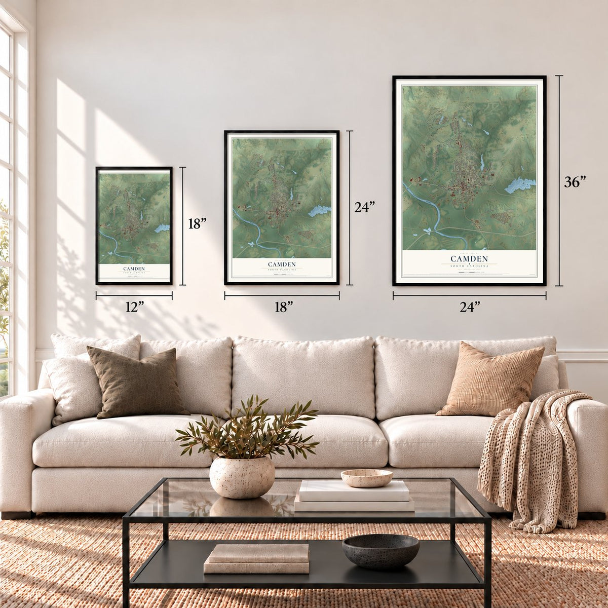

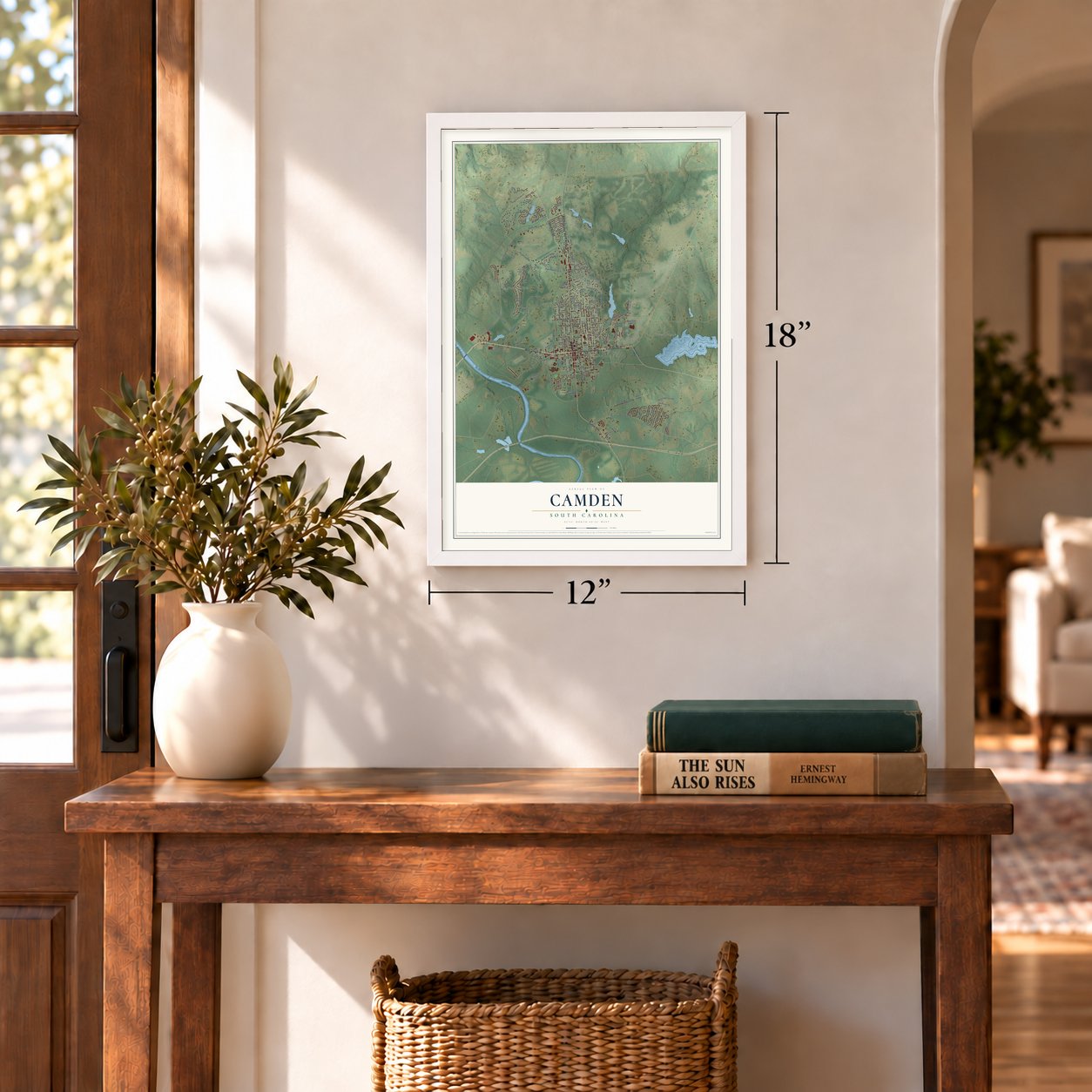

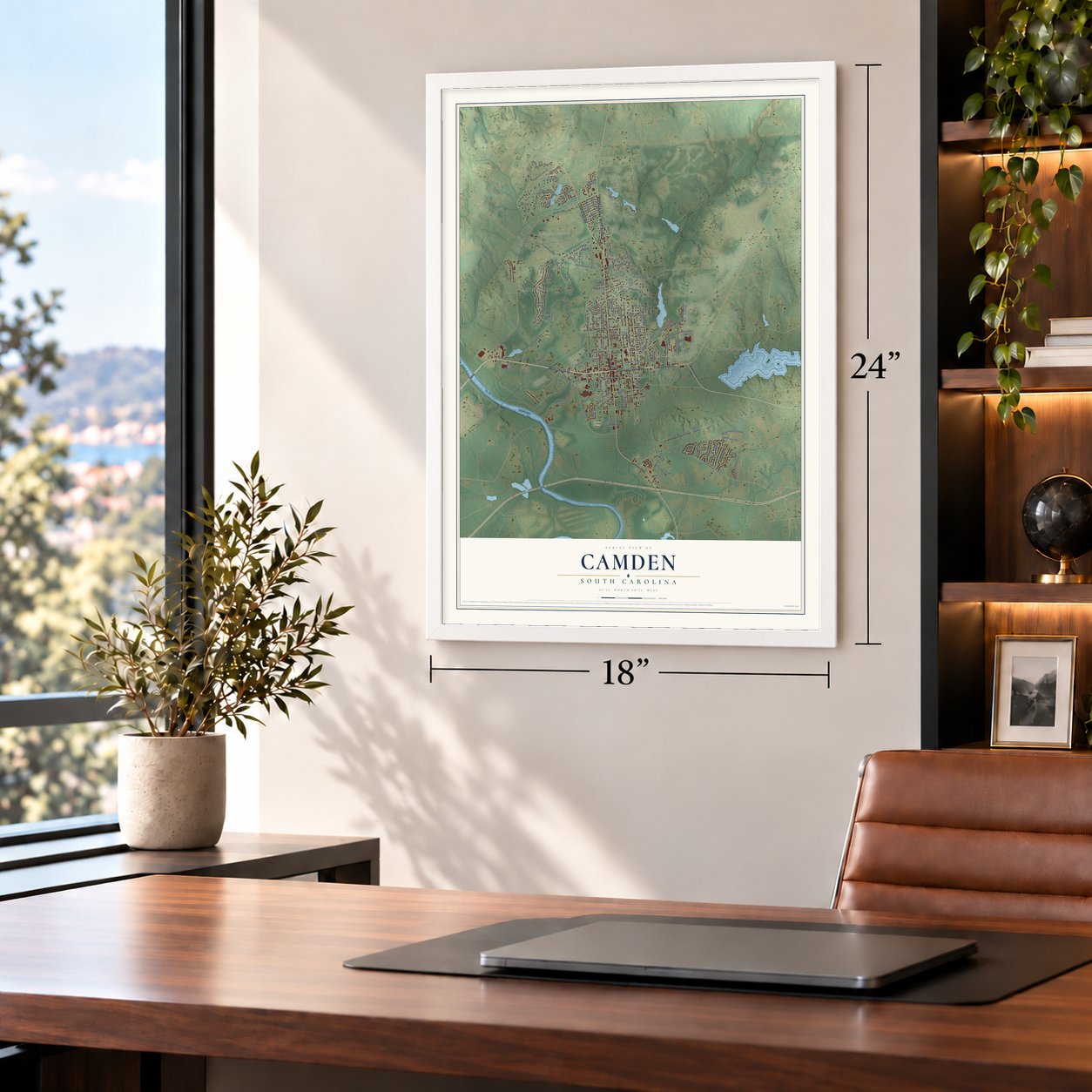

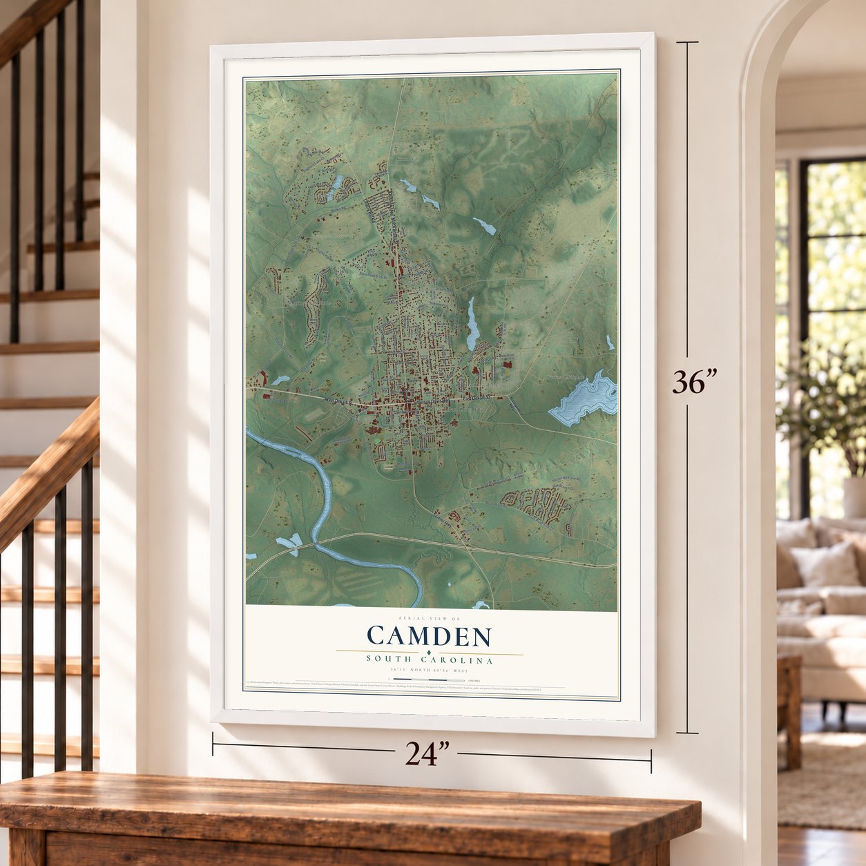

Free U.S. delivery 7 to 10 days after you order
Camden, South Carolina Map Art
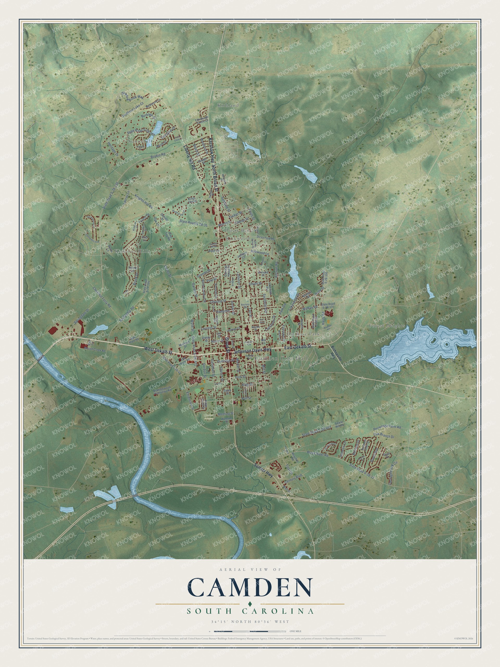
A new map of Camden, South Carolina, made in 2026 and printed to order on thick archival matte paper.
12" x 18" Archival Matte Print
A Map of Home. A Work of Art.
Explore Camden, South Carolina from a whole new perspective. Created using aerial imagery and detailed geographic data, this map captures Camden building by building, with labeled streets, familiar landmarks, and shaded topographical relief that highlights the natural contours of the landscape.
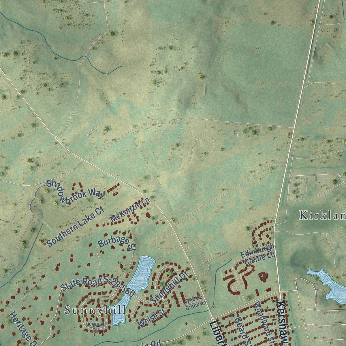
Combining modern data with the timeless character of a vintage atlas, this map is just as interesting up close as it is beautiful on the wall. Whether you grew up in Camden, spent memorable years there, or call it home today, this unique map is a great way to celebrate a place that means something to you. Zoom in on the preview to look for your street, and then order a print to put your memories on the wall.
Three ways to hang it
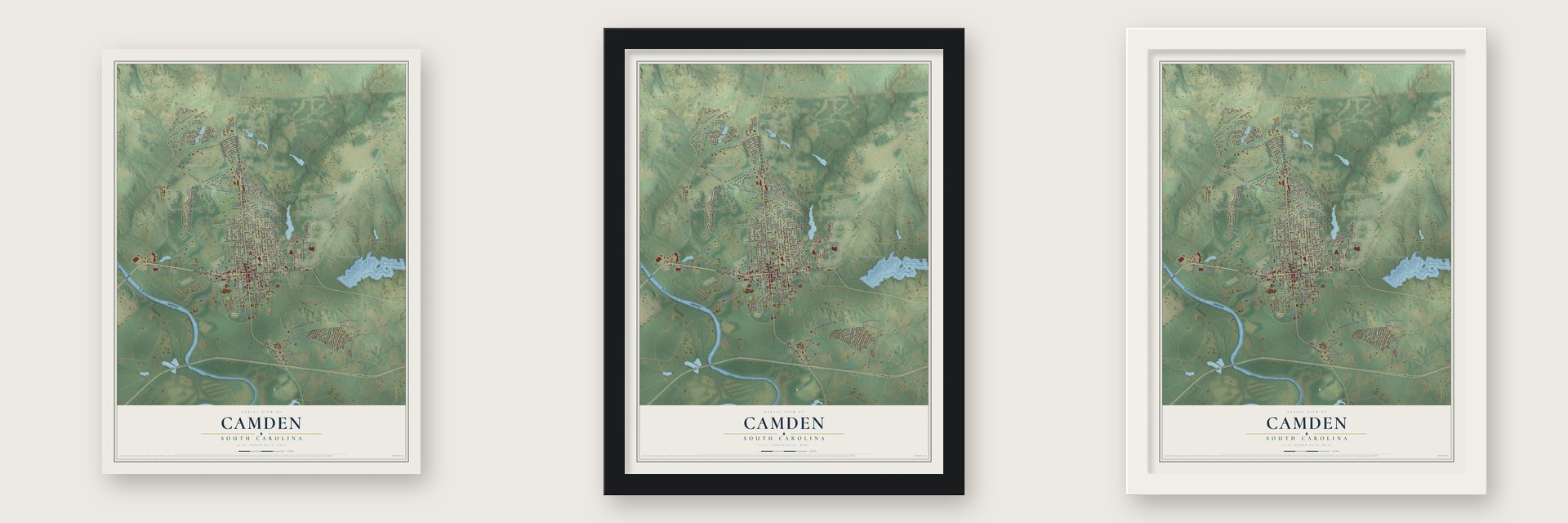
Unframed archival matte, a black wood frame or a white wood frame.
Up close
Geography Worth Displaying
This map was created using accurate cartographic data and authoritative geographic sources, including the U.S. Geological Survey and the Census Bureau. The map brings together terrain, waterways, roads, and building detail. The majority of the streets are labeled, houses are accurately depicted, and the topography is derived from government sources. Combining local data with carefully composed color and shading leads to this beautifully detailed Camden artwork for your wall.
Rather than simply showing street outlines, we’ve included as many of the street names as we could reasonably fit on the map while keeping their names legible. Zoom in on the high resolution preview to see exactly what’s on the map. We truly set out to create a statement piece for anyone who loves Camden. So whether it’s for you, or a gift for someone you love, we hope this map of Camden brings back fond memories.
Read the story behind this map of Camden, South Carolina from 2026.

About Camden, South Carolina
Camden is a city of 7,788 people and the county seat of Kershaw County, on the northeast side of the Wateree River. It is the oldest inland city in South Carolina. In 1732 King George II ordered eleven townships set out along the colony's rivers, and one of them, Fredericksburg, was surveyed in the Wateree swamp south of today's town. Few settlers wanted lots in the low ground, so they built on the higher land to the north, and the township soon faded away.
Joseph Kershaw, a newcomer from Yorkshire, England, opened a store here in 1758 and called the place Pine Tree Hill. His trade made it the colony's main inland market, and in the 1770s John Bartlam started one of America's early porcelain factories here. Kershaw then proposed a new name, Camden, after Lord Camden, who defended colonial rights in the British Parliament.
- A British post in 1780After Charleston fell in May 1780, Lord Cornwallis marched 2,500 British and Loyalist troops to Camden and made it his main supply post for the Southern campaign. On August 16, 1780, the Americans suffered their worst defeat of the Revolution in the Battle of Camden. On April 25, 1781, General Nathanael Greene's 1,400 men met Lord Francis Rawdon's 950 at Hobkirk's Hill. Rawdon won, but his heavy losses forced the British to abandon Camden for the coast.
- Riverboats to CharlestonAfter the war Camden grew rich as an interior trading town. Crops from the region, along with goods from inland North Carolina and lands farther west, rode flat-bottom boats down the Wateree River to Charleston until the railroad came. The Bank of Camden was organized in 1822.
- The war's last Union officerCamden gave the Confederacy six generals, and Richard Rowland Kirkland, called "The Angel of Marye's Heights," lies in the Old Quaker Cemetery. An Episcopal seminary opened in town in 1857, but its campus burned when Sherman's army came through, and it never reopened. Union troops also burned a full block of downtown. On April 18, 1865, at Boykin's Mill, 9 miles south, the 54th Massachusetts lost First Lieutenant E.L. Stevens, the last Federal officer killed in the war.
- Steeplechase Capital of the WorldFrom the mid-1880s wealthy northern families came to spend their winters in Camden, and three resort hotels served them into the 1930s. Horses became the town's passion. The Carolina Cup was first run on March 22, 1930, at the Springdale Race Course just north of town, and it has been held every year except 1943, 1945 and 2020. It often draws more than 70,000 people, even though state law bans betting on the races.
- Polo and 1,500 thoroughbredsCamden's polo field is the third oldest still in use in America. Each winter more than 1,500 thoroughbreds stay in the area, and the National Steeplechase Museum stands near the Springdale course.
Find your street
Names on the Camden map
Every name below is printed on this map. Look for your street, your school, the park where you played, or the pond down the road.
Places and landmarks12
- Camden City Hall
- Quaker Cemetery
- Scott Park
- Springdale Racecourse
- Du Bose Park
- Dusty Bend
- Forest Heights
- Kirkland
- Kirkover Hills
- Kirkwood
- Sunnyhill
- Hampton Park
Streets and roads151
- Kershaw Highway
- West Dekalb Street
- Broad Street
- Jefferson Davis Highway
- North Broad Street
- Liberty Hill Road
- East Dekalb Street
- Sumter Highway
- Chestnut Ferry Road
- Boykin Road
- York Street
- State Road S-28-571
- Springdale Drive
- Wylie Street
- Tucker Street
- Carter Street
- Fouts Street
- State Road S-28-130
- Lyttleton Street
- Fair Street
- Campbell Street
- Knights Hill Road
- State Road S-28-35
- Gordon Street
- Black River Road
- State Road S-28-12
- Mill Street
- State Road S-28-560
- Sunnyhill Drive
- Battleship Road
Show all 151 streets
- Forest Drive
- Rapid Run
- Lakeshore Drive
- Haile Street
- Chesnut Street
- Church Street
- Greene Street
- Shadowbrook Way
- King Street
- Ehrenclou Drive
- State Road S-28-403
- McRae Road
- Kirkwood Lane
- Brook Drive
- Laurens Street
- Hasty Road
- Carriagebrook Circle
- Bull Street
- Market Street
- Sarsfield Avenue
- Salmond Street
- Burbage Street
- Polo Lane
- Hermitage Farm Road
- Lauray Lane
- Pine Street
- Fairlawn Drive
- Rutledge Street
- Hampton
- Southern Lake Court
- Garden Street
- Meeting Street
- Beard Street
- Belmont Drive
- Heritage Drive
- Union Street
- Genesis Lane
- Century Boulevard
- Ancrum Road
- Titan Drive
- Park Circle
- Lausanne Drive
- Oak Branch Drive
- Tillman Street
- Oak Lane
- Jordan Street
- Bishopville Highway
- Dicey Ford Road
- State Road S-28-45
- Roberts Street
- State Road S-28-194
- Tickle Hill Road
- State Road S-28-131
- Southern Oaks Drive
- State Road S-28-100
- Welsh Street
- State Road S-28-51
- Hunt Cup Lane
- Bramblewood Plantation Road
- Lakeview Avenue
- Monroe Street
- Walnut Street
- Edinburgh Castle Lane
- Ridge Circle Drive
- Ball Park Road
- North Campbell Street
- Old River Road
- Mound Creek Road
- Kennedy Drive
- Kendall Street
- Woodward Street
- Beaufort Road
- Savage Street
- McKenzie Lane
- Johnson Lane
- Brevard Place
- Mattison Street
- Carriage House Lane
- Pine Top Road
- Laurens Court
- Kings Chase
- Wateree Street
- Mill Lane
- Wall Street
- Daniels Street
- Burns Lane
- Shoal Court
- Bay Lane
- Spring Lane
- Gates Street
- Dibble Street
- East Lane
- Lee Court
- Pickett Street
- Hackamore Lane
- Stewart Street
- Highland Avenue
- Elkridge Drive
- Mathis Court
- Cornwallis Avenue
- Hobkirk Court
- Kirkover Lane
- Little Street
- McCartha Street
- Lee Street
- Cantey Parkway
- Roscoe Avenue
- Rectory Square
- Mackey Street
- Leonard Circle
- Bloomsbury Circle
- Crickle Creek Lane
- Jumelle Springs Road
- Court Inn Lane
- Cooper Street
- Kirkwood Street
- Scarlett Lane
- Wateree Avenue
- Parkland Drive
- Court Street
- South Lane
Names are listed as they appear on the printed map. Zoom into the product photos to find them.
The art of mapping a place
How This Map Was Made
Real places. Remarkable detail. Discover the layers that turn geographic data into a map of home.

The view from above
Aerial imagery reveals the character of the land: woodland, open fields, and the patterns of a place.

The shape of the land
Elevation data brings hills, valleys, and subtle changes in the landscape into view.

The details of home
Roads, waterways, and building footprints come together to make the map feel unmistakably local.

Geography becomes art
Considered color, shading, and typography bring the layers together in a map made for your wall.


Process illustrated with Mendon, Massachusetts. Aerial imagery: USDA NAIP. Terrain: USGS 3D Elevation Program. Map details and finished artwork: KNOWOL.
The Details
About This Print
Choose an archival matte print, or a black or white Ayous wood frame. The archival matte print is unframed.
Select your size and finish above to see the matching product image and price.
Materials & Craftsmanship
A contemporary map with the character of a classic atlas, printed on archival matte paper. Optional frames are made from Ayous wood.
Your printed map does not include the watermark shown in the full-map preview.
Shipping & Delivery
Free shipping within the United States. Every print is made to order in the USA.
Buying a gift? Add a note in your cart and we'll include it. We never put prices in the package.
Prints ship within 2 to 3 business days. Allow 7 to 10 days total from ordering for delivery. Timing may vary during holidays or periods of high order volume.
Read our shipping policy.
Returns and damaged prints
Each print is made to order. Change-of-mind refunds are not available after production.
If your print arrives damaged, misprinted or incorrect, contact support@knowol.com within 30 days of receiving it. Include your order number, photos and a description of the issue.
Read our full refund and replacement policy. For questions about your order, email support@knowol.com.
Find your town
Looking for another city?
Find a map of home in our South Carolina collection, or any town in the country.
Nearby
Maps of towns near Camden
Know someone from one of these towns? Their map makes a great gift.
 East Camden
, South Carolina
From $39.99See the map
 Lugoff
, South Carolina
From $39.99See the map
 Boykin
, South Carolina
From $39.99See the map
More maps nearby: Rembert, Elgin, Browntown, Abney Crossroads and Bethune.