
Search for another town

Free U.S. delivery 7 to 10 days after you order
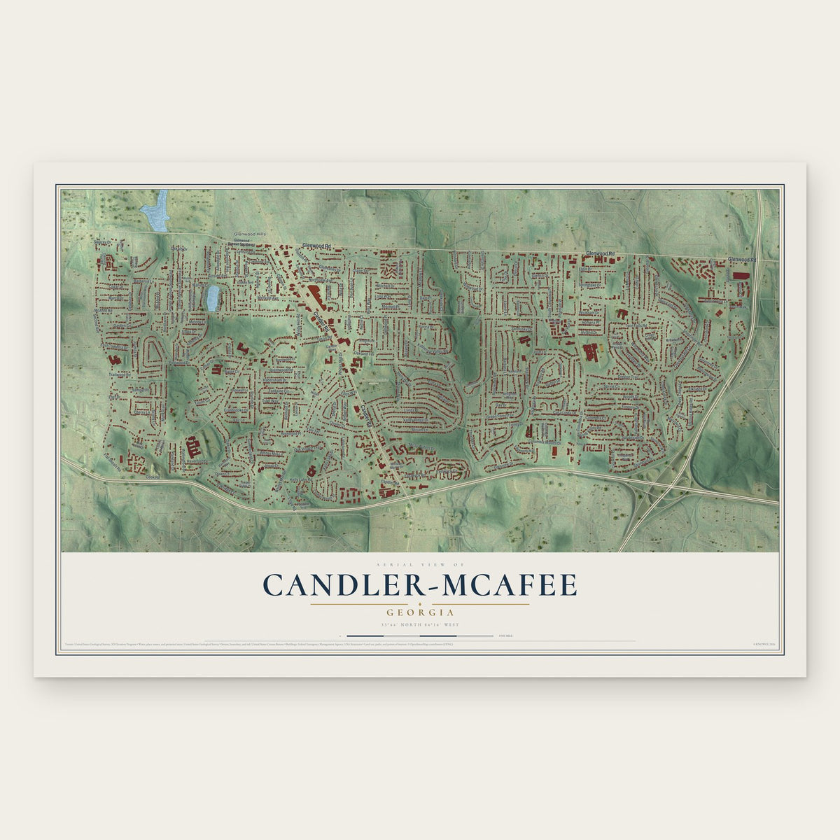
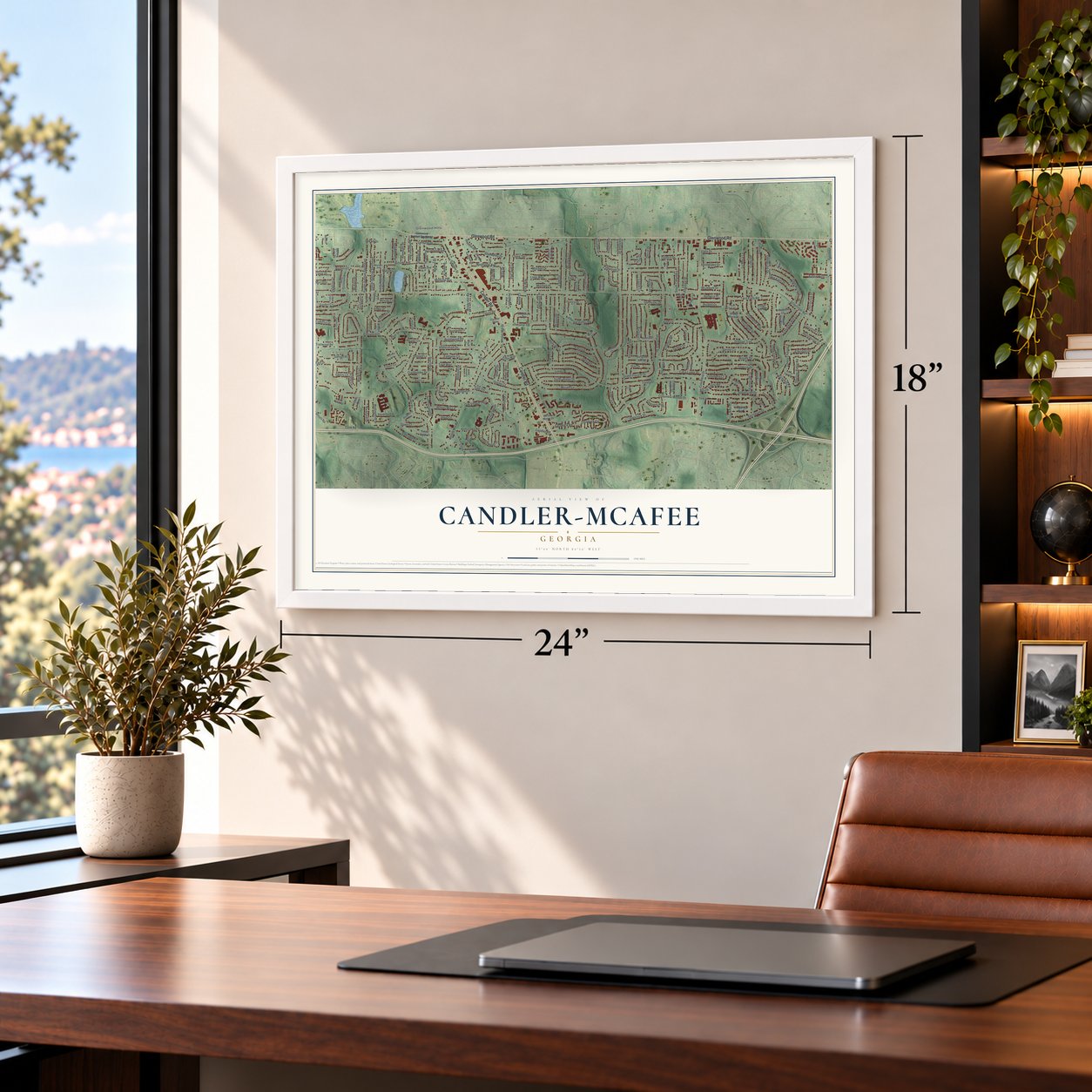
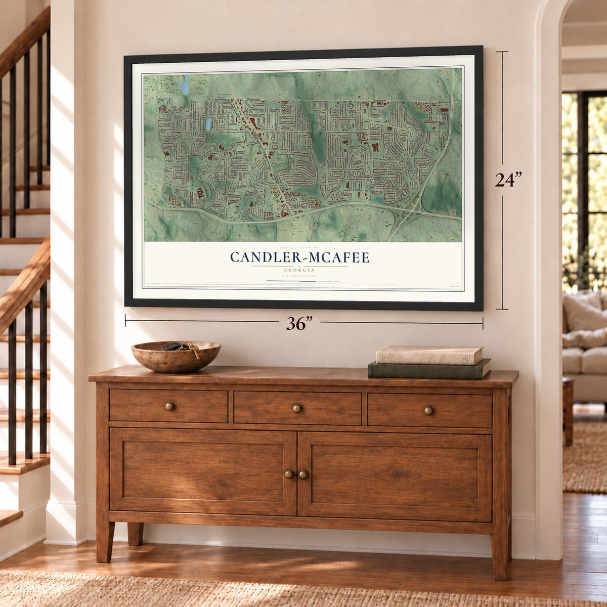
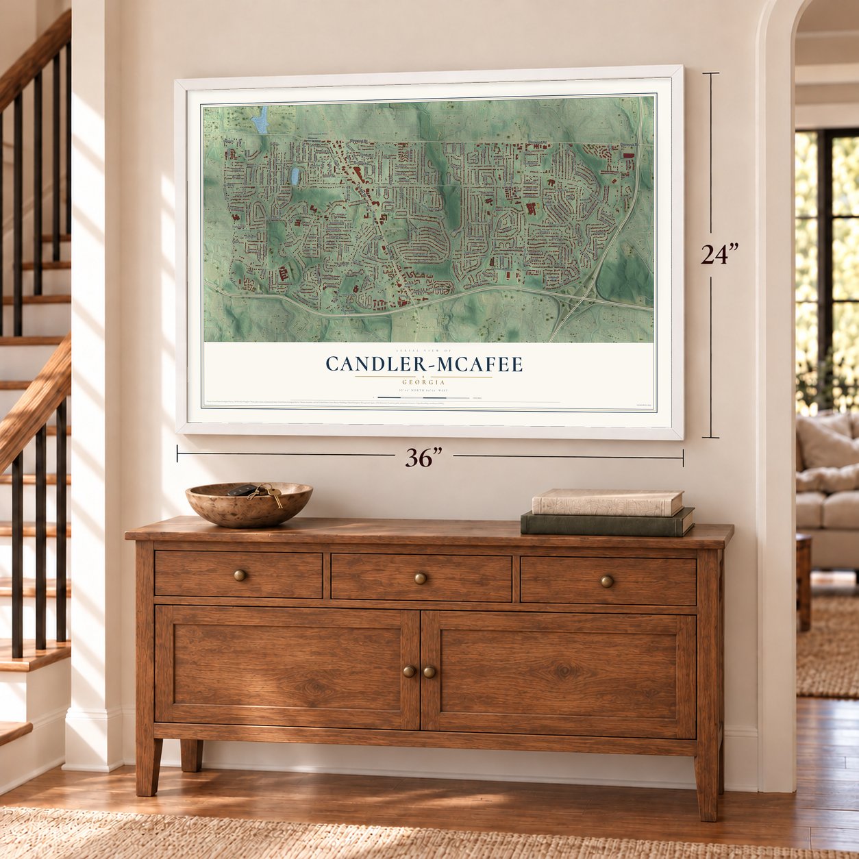
Candler-McAfee, Georgia Map Art
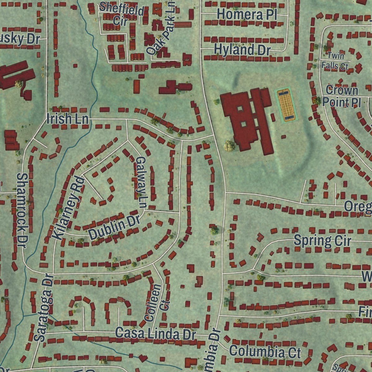
Building by building, with labeled streets and shaded relief.
12" x 18" Archival Matte Print
A Map of Home. A Work of Art.
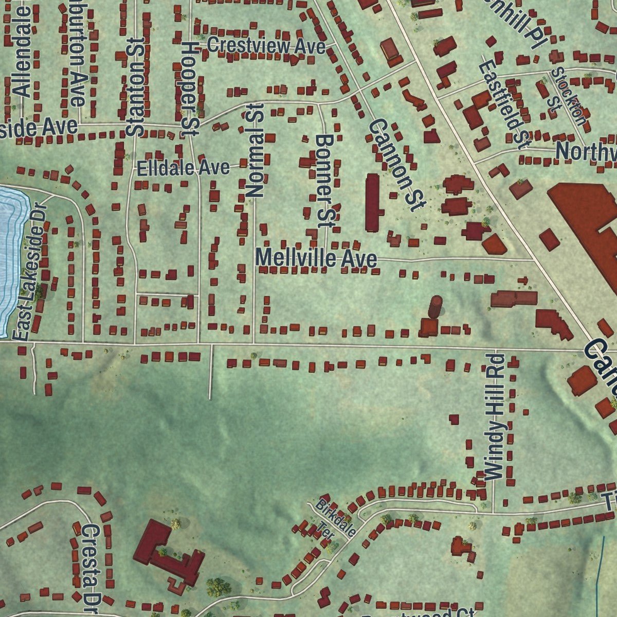
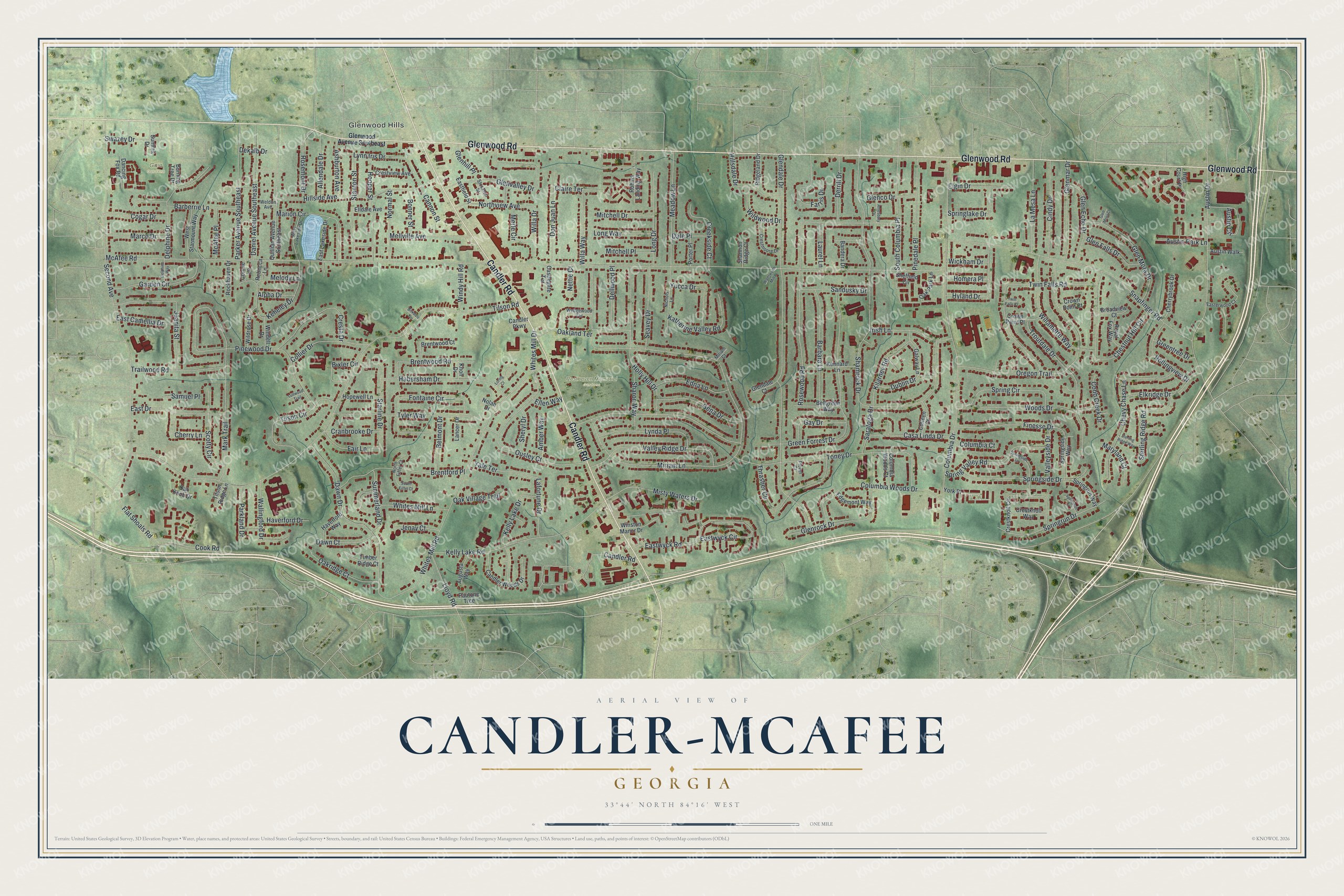
Explore Candler-McAfee, Georgia from a whole new perspective. Created using aerial imagery and detailed geographic data, this map captures Candler-McAfee building by building, with labeled streets, familiar landmarks, and shaded topographical relief that highlights the natural contours of the landscape.
Combining modern data with the timeless character of a vintage atlas, this map is just as interesting up close as it is beautiful on the wall. Whether you grew up in Candler-McAfee, spent memorable years there, or call it home today, this unique map is a great way to celebrate a place that means something to you. Zoom in on the preview to look for your street, and then order a print to put your memories on the wall.
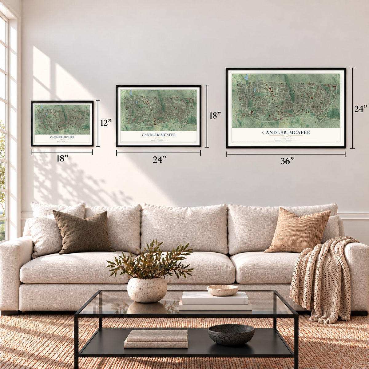
Three ways to hang it
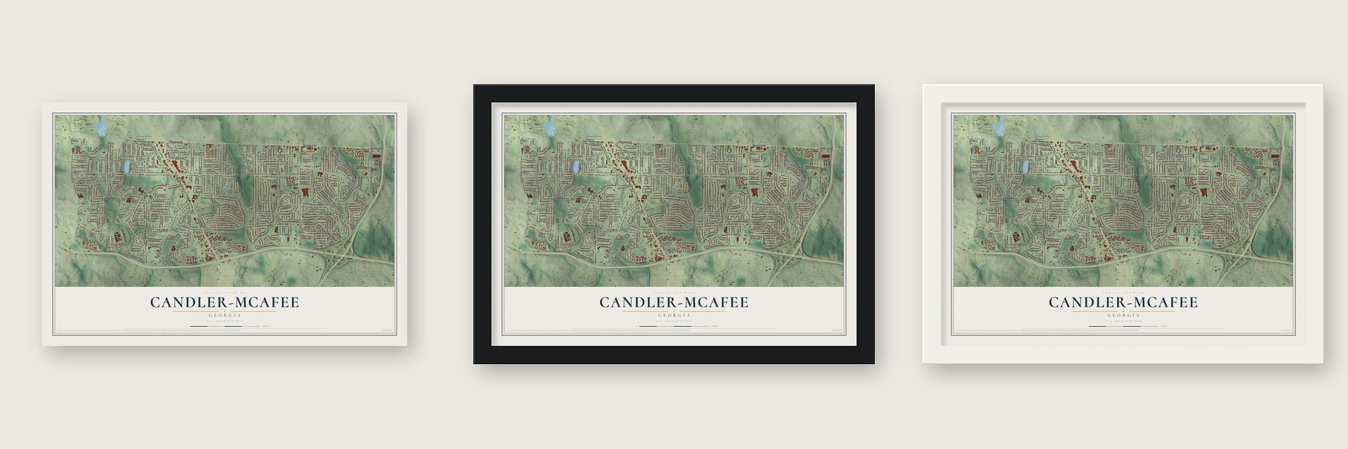
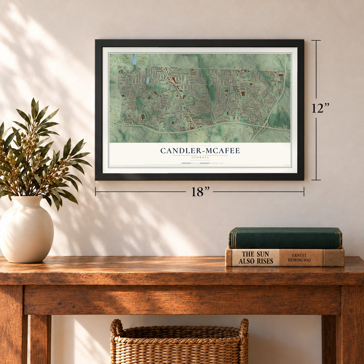
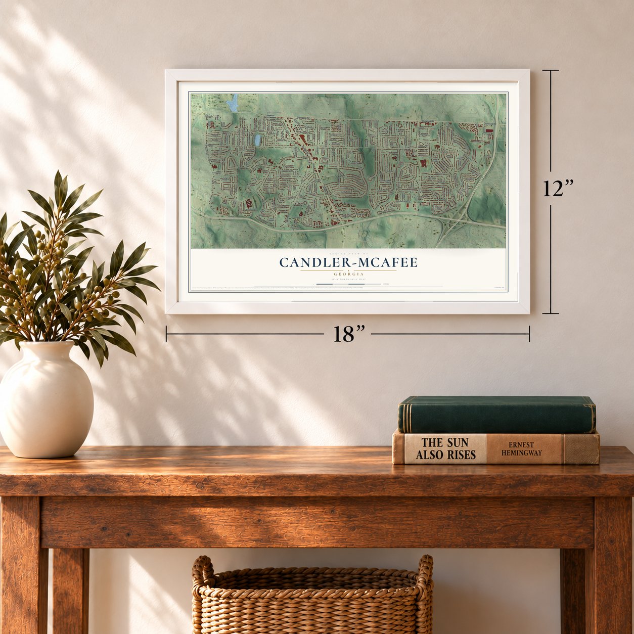
Unframed archival matte, a black wood frame or a white wood frame.
Up close
Geography Worth Displaying
This map was created using accurate cartographic data and authoritative geographic sources, including the U.S. Geological Survey (USGS) and FEMA. The map brings together terrain, waterways, roads, and building detail. The majority of the streets are labeled, houses are accurately depicted, and the topography is derived from government sources. Combining local data with carefully composed color and shading leads to this beautifully detailed Candler-McAfee artwork for your wall.
Rather than simply showing street outlines, we’ve included as many of the street names as we could reasonably fit on the map while keeping their names legible. Zoom in on the high resolution preview to see exactly what’s on the map. We truly set out to create a statement piece for anyone who loves Candler-McAfee. So whether it’s for you, or a gift for someone you love, we hope this map of Candler-McAfee brings back fond memories.
Explore the full map of Candler-McAfee, Georgia and read about the local places it shows.
Find your street
Names on the Candler-McAfee map
Every name below is printed on this map. Look for your street, your school, the park where you played, or the pond down the road.
Places and landmarks3
- Glenwood Hills
- Resthaven Memorial Gardens
- Gaia Gardens
Streets and roads245
- Glenwood Road
- Candler Road
- McAfee Road
- Tilson Road
- Miriam Lane
- Toney Drive
- Glendale Drive
- Shamrock Drive
- Columbia Drive
- Second Avenue
- Snapfinger Road
- Whites Mill Road
- Rosewood Road
- Mark Trail
- Oregon Trail
- Green Forrest Drive
- Misty Waters Drive
- Twin Falls Road
- Kelly Lake Road
- Ousley Court
- Dawn Drive
- Austin Drive
- Glenvalley Drive
- Chestnut Hill Circle
- Hillside Avenue
- Holly Hill Drive
- Tyler Way
- Fontaine Circle
- Chevy Chase Lane
- Troutdale Drive
Show all 245 streets
- Columbia Woods Drive
- Glenrock Drive
- Valley Ridge Drive
- Woods Drive
- Brentford Place
- Keheley Drive
- Habersham Drive
- Juanita Street
- Springside Drive
- Thrasher Circle
- Willamette Way
- Eastwyck Circle
- Tilson Circle
- Pinewood Drive
- Hooper Street
- Glen Mora Drive
- Whites Mill Lane
- Springrun Drive
- Barbara Lane
- Finesse Drive
- Meadow Lane
- Daniel Avenue Southeast
- Spring Valley Road
- South Columbia Place
- Pinedale Place
- Delphine Drive
- Parker Avenue Southeast
- Kelly Lake Drive
- Starline Drive
- Cresta Drive
- Stanton Street
- Farris Drive
- Garden Circle
- Marion Circle
- Lynda Place
- Barberrie Lane
- Mellville Avenue
- Glenmar Drive
- Cindy Drive
- Oakland Terrace
- Spring Circle
- East Drive
- Trailwood Road
- Long Drive
- Hyland Drive
- La Mesa Lane
- Don Juan Lane
- Gena Drive
- Katherine Valley Road
- Kilarney Road
- Sterling Ridge Road
- Glen Echo Drive
- Lynn Iris Drive
- Austin Circle
- Wallingford Drive
- Elkridge Drive
- Casa Linda Drive
- Scotty Circle
- Irish Lane
- Collier Drive
- Northview Avenue
- Seavey Drive
- Flat Shoals Road
- Brentwood Road
- Rollingview Drive
- Cook Road
- Oakridge Court
- Edna Lane
- Creekside Court
- Willa Way
- Yucca Drive
- Normal Street
- Cannon Street
- Yale Terrace
- Eastwyck Road
- Sandusky Drive
- Springlake Drive
- Glen Falls Drive
- Derrill Drive
- Summerland Drive
- Gay Drive
- Allendale Drive
- Elgin Drive
- Sharon Way
- Dellwood Place
- Dawn Court
- Dublin Drive
- Marco Drive
- Cogar Drive
- Fair Lane
- East Camellia Drive
- Long Way
- Lafortune Drive
- Wildwood Drive
- Lloyd Road
- Ashburton Avenue
- Bixler Circle
- Mitchell Drive
- Belmont Drive
- Cherry Lane
- Cranbrooke Drive
- Merle Circle
- Oak Village Trail
- Willa Drive
- Swazey Drive
- Parkland Drive
- Rosemont Drive
- Valleyside Drive
- McAfee Place
- Hillsdale Drive
- Cobb Creek Drive
- Austin Park Lane
- Claire Terrace
- Glenco Drive
- Samuel Place
- Maryland Court
- Windy Hill Road
- Haverford Drive
- Saratoga Drive
- Mitchell Place
- Laurel Lane
- Greentree Drive
- Bonner Street
- Amber Way
- Jenay Court
- Columbia Court
- Sheryl Drive
- Homera Place
- Wickham Drive
- Whites Mill Drive
- Melody Lane
- Dale Place
- Alpha Drive
- Glenhill Place
- Ellen Way
- Dekalb Drive
- Nettie Court
- York Place
- High Court Place
- Crestknoll Circle
- Quillian Avenue Southeast
- Candler Woods Drive
- Ridgeland Drive
- Crestview Avenue
- Bandera Drive
- Kennard Lane
- Brentwood Court
- West Starmount Way
- Robins Landing Way
- Cherrybrook Drive
- Oak Park Lane
- East Lakeside Drive
- Winston Manor Drive
- Bellgreen Way
- Wildrose Drive
- Springside Way
- Royal Fox Way
- Hopewell Lane
- Edgemont Way
- Crestknoll Way
- Springrun Way
- Timber Ridge Court
- Galway Lane
- Columbia Woods Court
- Colleen Court
- Crown Point Place
- Elldale Avenue
- Haverford Way
- Rockhaven Drive
- Austin Walk
- Augusta Way
- Dancing Fox Road
- Windell Drive
- Eastfield Street
- Broadview Court
- Porter Place
- Pautone Trce
- Shannon Ridge Court
- Castlegate Terrace
- Rebecca Lane
- Glendale Court
- Sheffield Circle
- Lancer Drive
- Crown Point Court
- Oak Knob Drive
- Burning Tree Drive
- Tilson Ridge Lane
- Summit Drive
- Nolan Drive
- Candler Parkway
- Connie Lane
- Knoll Drive
- Glenwood Avenue Southeast
- Nichols Lane
- Easterwood Court
- West Lakeside Drive
- Wedgewood Terrace
- Crestmoore Drive
- Stockton Street
- North Eiffel Court
- Weldon Avenue
- Plover Court
- Miriam Court
- Springside Lane
- Loring Court
- Wadsworth Mill Place
- Delphine Way
- Amesbury Drive
- Sterling Ridge Way
- South Eiffel Court
- Springrun Court
- Birkdale Terrace
- Lullwood Trail
- Glen Mora Court
- Twin Falls Court
Names are listed as they appear on the printed map. Zoom into the product photos to find them.
Keep exploring Georgia
Candler-McAfee is one of 1,042 Georgia towns we've mapped. Every dot on the map is a print of its own.
The search covers every state, Georgia first.
Near Candler-McAfee
Order 2 or more town maps and save 10%. Shown in the size and finish you picked above, so they hang as a set.
- Panthersville 12" x 18" / Archival Matte Print $39.99
- Belvedere Park 12" x 18" / Archival Matte Print $39.99
- East Lake 12" x 18" / Archival Matte Print $39.99
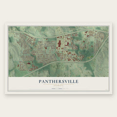
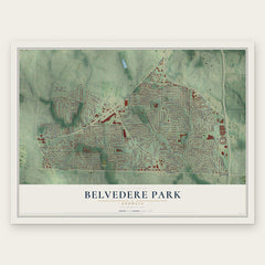

More maps nearby: Gresham Park, The Villages at East Lake, Avondale Estates, Decatur and East Atlanta.
The art of mapping a place
How This Map Was Made
Real places. Remarkable detail. Discover the layers that turn geographic data into a map of home.

The view from above
Aerial imagery reveals the character of the land: woodland, open fields, and the patterns of a place.

The shape of the land
Elevation data brings hills, valleys, and subtle changes in the landscape into view.

The details of home
Roads, waterways, and building footprints come together to make the map feel unmistakably local.

Geography becomes art
Considered color, shading, and typography bring the layers together in a map made for your wall.


Process illustrated with Mendon, Massachusetts. Aerial imagery: USDA NAIP. Terrain: USGS 3D Elevation Program. Map details and finished artwork: KNOWOL.
The Details
About This Print
Choose an archival matte print, or a black or white Ayous wood frame. The archival matte print is unframed.
Select your size and finish above to see the matching product image and price.
Materials & Craftsmanship
A contemporary map with the character of a classic atlas, printed on archival matte paper. Optional frames are made from Ayous wood.
Your printed map does not include the watermark shown in the full-map preview.
Shipping & Delivery
Free shipping within the United States. Every print is made to order in the USA.
Buying a gift? Add a note in your cart and we'll include it. We never put prices in the package.
Prints ship within 2 to 3 business days. Allow 7 to 10 days total from ordering for delivery. Timing may vary during holidays or periods of high order volume.
Read our shipping policy.
Returns and damaged prints
Each print is made to order. Change-of-mind refunds are not available after production.
If your print arrives damaged, misprinted or incorrect, contact support@knowol.com within 30 days of receiving it. Include your order number, photos and a description of the issue.
Read our full refund and replacement policy. For questions about your order, email support@knowol.com.