
Search for another town





Free U.S. delivery 7 to 10 days after you order
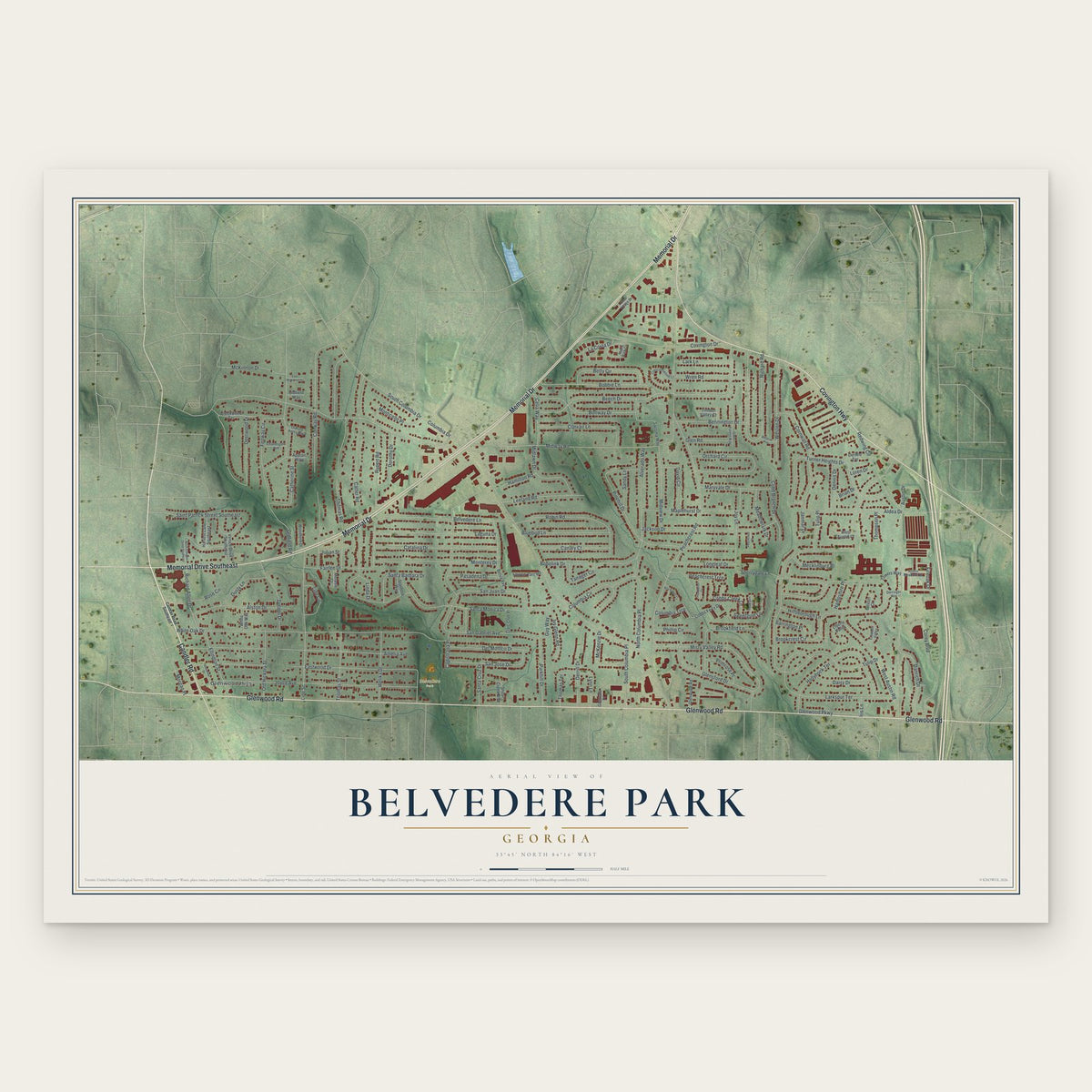
Belvedere Park, Georgia Map Art
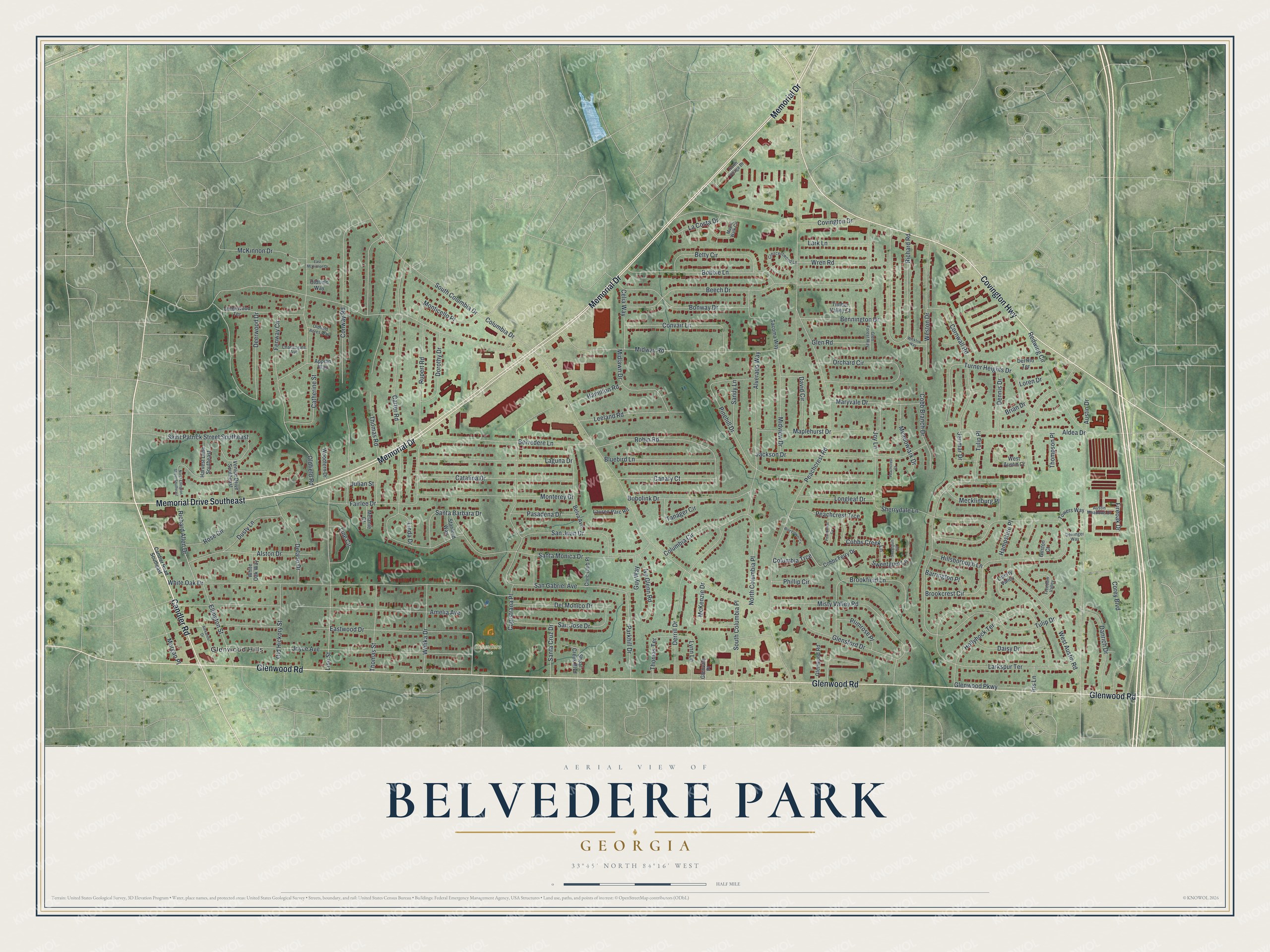
A new map of Belvedere Park, Georgia, made in 2026 and printed to order on thick archival matte paper.
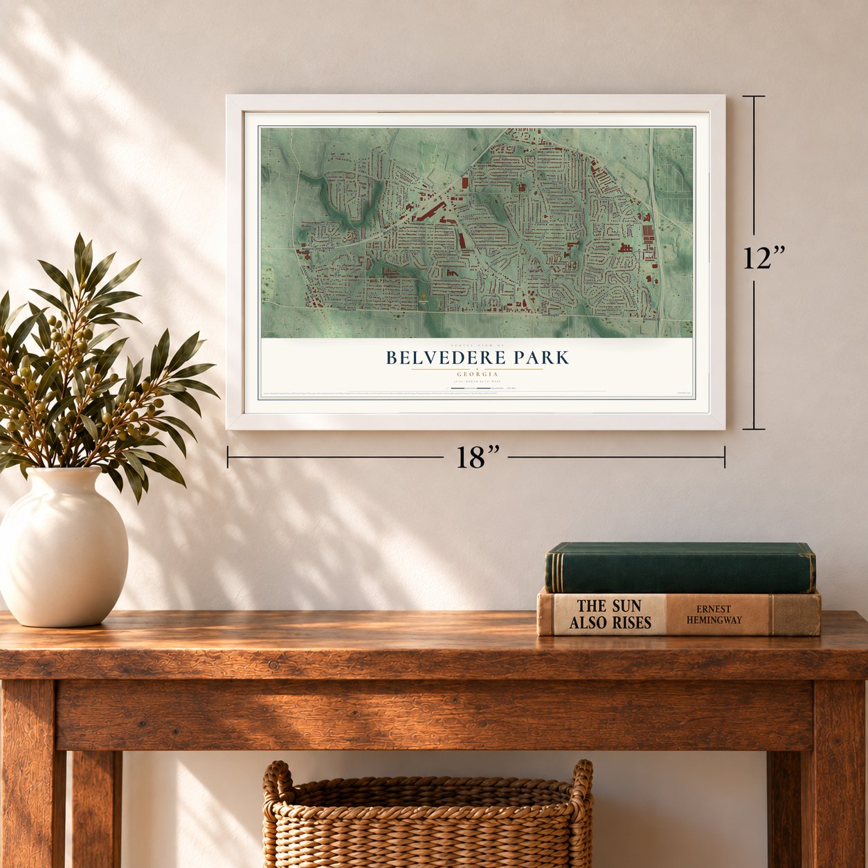
12" x 18" Archival Matte Print
A Map of Home. A Work of Art.
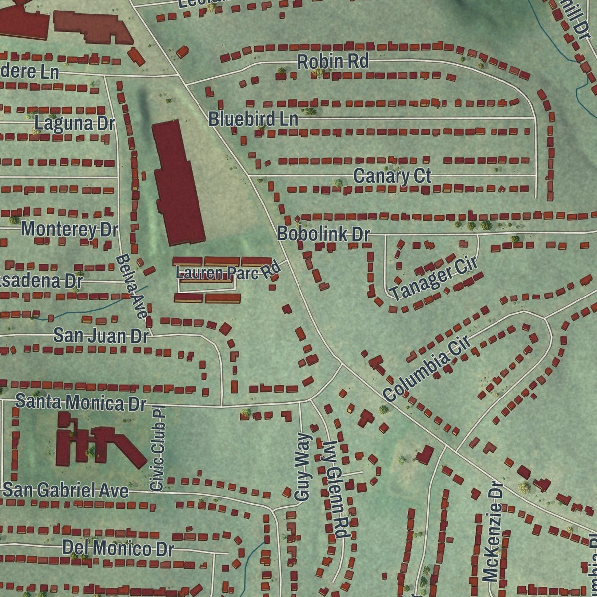
Explore Belvedere Park, Georgia from a whole new perspective. Created using aerial imagery and detailed geographic data, this map captures Belvedere Park building by building, with labeled streets, familiar landmarks, and shaded topographical relief that highlights the natural contours of the landscape.
Combining modern data with the timeless character of a vintage atlas, this map is just as interesting up close as it is beautiful on the wall. Whether you grew up in Belvedere Park, spent memorable years there, or call it home today, this unique map is a great way to celebrate a place that means something to you. Zoom in on the preview to look for your street, and then order a print to put your memories on the wall.
Three ways to hang it
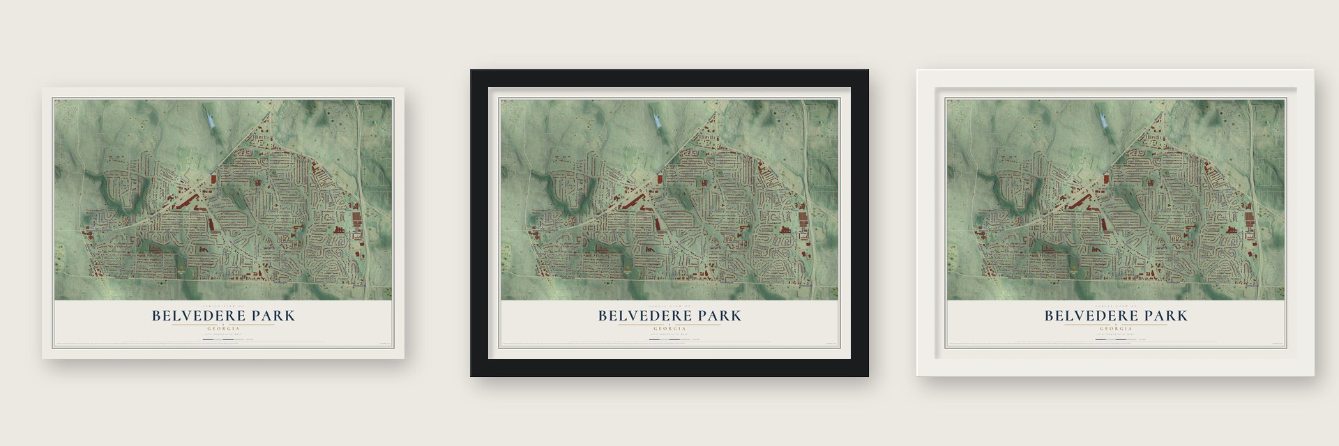
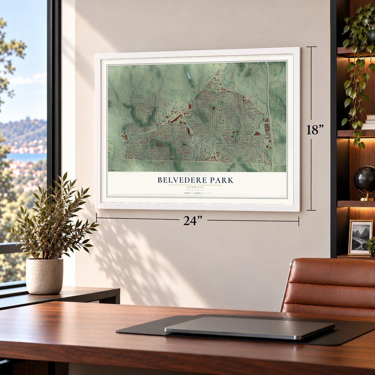
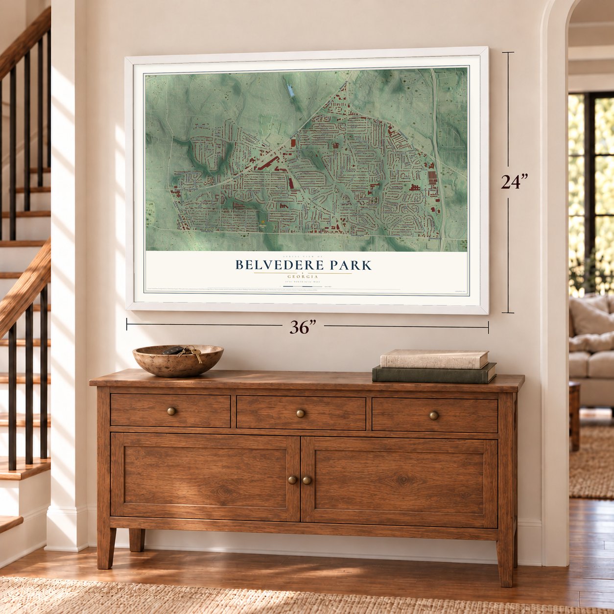
Unframed archival matte, a black wood frame or a white wood frame.
Up close
Geography Worth Displaying
This map was created using accurate cartographic data and authoritative geographic sources, including the U.S. Geological Survey (USGS) and FEMA. The map brings together terrain, waterways, roads, and building detail. The majority of the streets are labeled, houses are accurately depicted, and the topography is derived from government sources. Combining local data with carefully composed color and shading leads to this beautifully detailed Belvedere Park artwork for your wall.
Rather than simply showing street outlines, we’ve included as many of the street names as we could reasonably fit on the map while keeping their names legible. Zoom in on the high resolution preview to see exactly what’s on the map. We truly set out to create a statement piece for anyone who loves Belvedere Park. So whether it’s for you, or a gift for someone you love, we hope this map of Belvedere Park brings back fond memories.
Explore the full map of Belvedere Park, Georgia and read about the local places it shows.

About Belvedere Park, Georgia
Belvedere Park is an unincorporated community of 15,113 people in DeKalb County, with Decatur and Avondale Estates to its north and Atlanta's East Lake neighborhood to its west. It got its start in 1952 as a planned suburb, laid out from the beginning with its own schools, parks and shopping center, and it kept expanding for the rest of that decade.
The Embry Brothers built its houses, most of them one story tall. Many were traditional red brick ranch homes, while others were built in a contemporary style. Adair Realty and Loan, one of Atlanta's most powerful real estate firms of the era, sold the new homes, and in 1958 the Atlanta Journal carried ads offering them for $11,000 to $14,800.
“Buy a Home in Belvedere Park with a 100% GI Loan - A Complete Established Community of Distinction and Quality Convenient to Everything.”
- Rich's second store, 1959Rich's Department Store had only one branch, at Lenox Square, when it opened its second in the Belvedere Shopping Center in 1959. The new store gave the young suburb a taste of big-city shopping. The building at Belvedere Plaza is now a market selling Afro-centric goods.
- The Belvedere MotelThe well-known Dinkler Hotel Corporation ran the Belvedere Motel, which opened with a telephone and a large-screen television in every room. Guests could also use its playground and shuffleboard court.
- Towers High since 1963Towers High School opened in 1963 and still teaches students today as part of the DeKalb County School District.
- Midway ParkMidway Park, on Midway Road, is a favorite place for recreation in Belvedere Park. It has several baseball and football fields and a public swimming pool.
Find your street
Names on the Belvedere Park map
Every name below is printed on this map. Look for your street, your school, the park where you played, or the pond down the road.
Places and landmarks2
- Belvedere Park
- Glenwood Hills
Streets and roads174
- Memorial Drive
- Glenwood Road
- Covington Highway
- Memorial Drive Southeast
- Candler Road
- Midway Road
- Columbia Drive
- Tulip Drive
- Carter Road
- West Austin Road
- White Oak Drive
- Brookcrest Circle
- Peachcrest Road
- San Gabriel Avenue
- Beech Drive
- Eastwood Drive
- Austin Drive
- Conway Road
- Amelia Avenue
- Pinehill Drive
- Thomas Road
- Oldfield Road
- Joyce Avenue
- Richard Road
- Covington Drive
- Santa Monica Drive
- Turner Heights Drive
- Larkspur Terrace
- Deerwood Drive
- Misty Valley Road
Show all 174 streets
- Rupert Road
- Line Street
- Hollyhock Terrace
- Jackson Drive
- Ellington Street
- Belvedere Lane
- Orchard Circle
- Alverado Way
- Corey Boulevard
- Monterey Drive
- Catalina Drive
- Robin Road
- South Columbia Drive
- Laguna Drive
- Bobbie Lane
- Redwing Circle
- Brookfield Lane
- Cornwall Road
- Weston Drive
- Bonway Drive
- Maplehurst Drive
- North Columbia Place
- Alston Drive
- Aldea Drive
- Bobolink Drive
- Convair Lane
- Columbia Circle
- Glensford Drive
- San Jose Drive
- Bluebird Lane
- Sherrydale Lane
- Derrill Drive
- San Juan Drive
- Midview Drive
- Leeland Road
- Betty Circle
- Joy Lane
- Del Monico Drive
- Danrich Drive
- Canary Court
- Midlawn Drive
- Saint Patrick Street Southeast
- Delano Drive
- Wren Road
- Maryvale Drive
- Fenway Circle
- Fireoak Drive
- Bennington Drive
- Welika Drive
- Monticello Place
- Thomas Street
- Catherine Street
- McKinnon Drive
- Cobbs Creek Lane
- Cobb Branch Drive
- Old Hickory Street
- Santa Barbara Drive
- Richard Allen Drive
- South Columbia Place
- Dorothy Drive
- Glenwood Parkway
- Parkhill Drive
- Fairlee Drive
- Longleaf Drive
- Capistrana Place
- David Circle
- McKenzie Drive
- Daisy Drive
- Dusty Lane
- Meadowlark Drive
- Lark Lane
- Peachcrest Trce
- Pasadena Drive
- Ivy Glenn Road
- Line Circle
- La Costa Drive
- Dennis Drive
- Tanager Circle
- Thomas Terrace
- Celia Way
- Glen Road
- Sweetgum Lane
- Lynn Lane
- Mecklinburg Place
- Hamilton Road
- Primrose Place
- Hillsborough Lane
- Santa Cruz Drive
- Sandy Lane
- Tulip Place
- Phillip Circle
- Barrington Place
- Janmar Drive
- Guy Way
- Rose Circle
- Hampshire Place
- Columbia Trce
- Linda Drive
- Thompson Place
- Morgan Place
- Loren Drive
- Julian Street
- Brian Drive
- Iris Lane
- Belva Avenue
- Tacoma Way
- Lauren Parc Road
- Cobbs Ferry Drive
- Creekwood Terrace
- Shoal Creek Boulevard
- Liberty Valley
- Venice Drive Southeast
- Harvest Lane Southeast
- West Austin Court
- Del Rio Terrace
- Woodfern Drive
- Towers Way
- White Oak Way
- Civic Club Place
- Stanford Way
- Melanie Court
- Appian Way
- Glenvale Place
- Oldfield Way
- Timber Valley Court
- Gilston Court
- North Village Drive
- Maple Walk Circle
- Crescentwood Lane
- Glen Forest Way
- Freedom Valley
- Austin Meadows Drive
- Charlesgate Avenue
- Oldfield Acres Way
- Derringer Way
- Candler Road Southeast
- Alexander Drive
- North Ellington Street Southeast
- Peachcrest Cv
- Wild Flower Cv
- Sweetgum Hill
- Wicklow Way
- East McKinnon Drive
- Peachcrest Court
Names are listed as they appear on the printed map. Zoom into the product photos to find them.
The art of mapping a place
How This Map Was Made
Real places. Remarkable detail. Discover the layers that turn geographic data into a map of home.

The view from above
Aerial imagery reveals the character of the land: woodland, open fields, and the patterns of a place.

The shape of the land
Elevation data brings hills, valleys, and subtle changes in the landscape into view.

The details of home
Roads, waterways, and building footprints come together to make the map feel unmistakably local.

Geography becomes art
Considered color, shading, and typography bring the layers together in a map made for your wall.


Process illustrated with Mendon, Massachusetts. Aerial imagery: USDA NAIP. Terrain: USGS 3D Elevation Program. Map details and finished artwork: KNOWOL.
The Details
About This Print
Choose an archival matte print, or a black or white Ayous wood frame. The archival matte print is unframed.
Select your size and finish above to see the matching product image and price.
Materials & Craftsmanship
A contemporary map with the character of a classic atlas, printed on archival matte paper. Optional frames are made from Ayous wood.
Your printed map does not include the watermark shown in the full-map preview.
Shipping & Delivery
Free shipping within the United States. Every print is made to order in the USA.
Buying a gift? Add a note in your cart and we'll include it. We never put prices in the package.
Prints ship within 2 to 3 business days. Allow 7 to 10 days total from ordering for delivery. Timing may vary during holidays or periods of high order volume.
Read our shipping policy.
Returns and damaged prints
Each print is made to order. Change-of-mind refunds are not available after production.
If your print arrives damaged, misprinted or incorrect, contact support@knowol.com within 30 days of receiving it. Include your order number, photos and a description of the issue.
Read our full refund and replacement policy. For questions about your order, email support@knowol.com.
Find your town
Looking for another city?
Find a map of home in our Georgia collection, or any town in the country.
Nearby
Maps of towns near Belvedere Park
Know someone from one of these towns? Their map makes a great gift.
 Avondale Estates
, Georgia
From $39.99See the map
 Candler-McAfee
, Georgia
From $39.99See the map
 Decatur
, Georgia
From $39.99See the map
More maps nearby: East Lake, Panthersville, Scottdale, The Villages at East Lake and Kirkwood.