
Search for another town


Free U.S. delivery 7 to 10 days after you order
Carlsbad, New Mexico Map Art
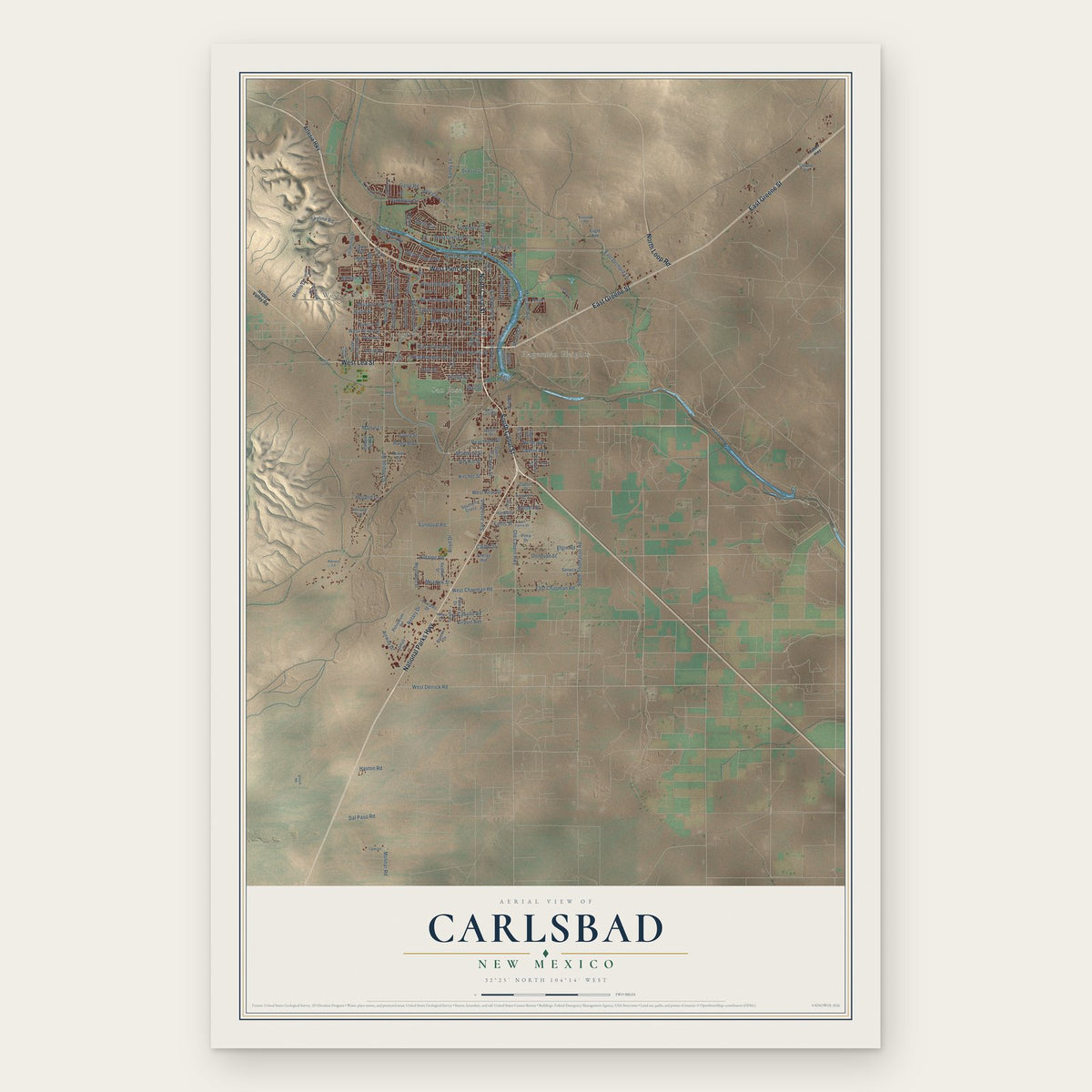
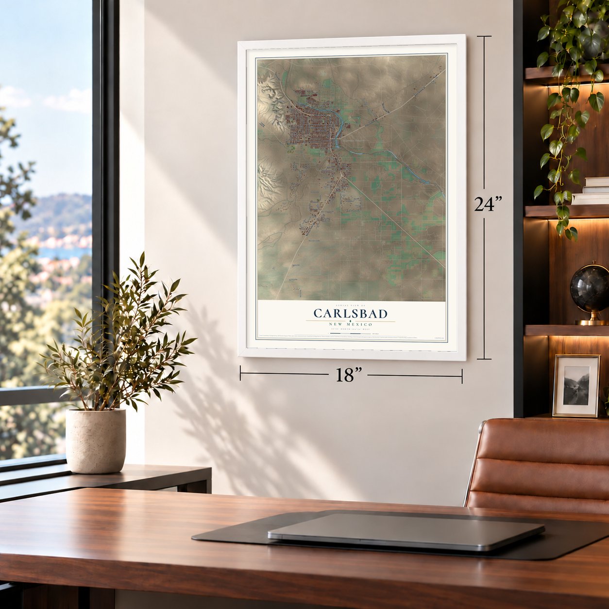
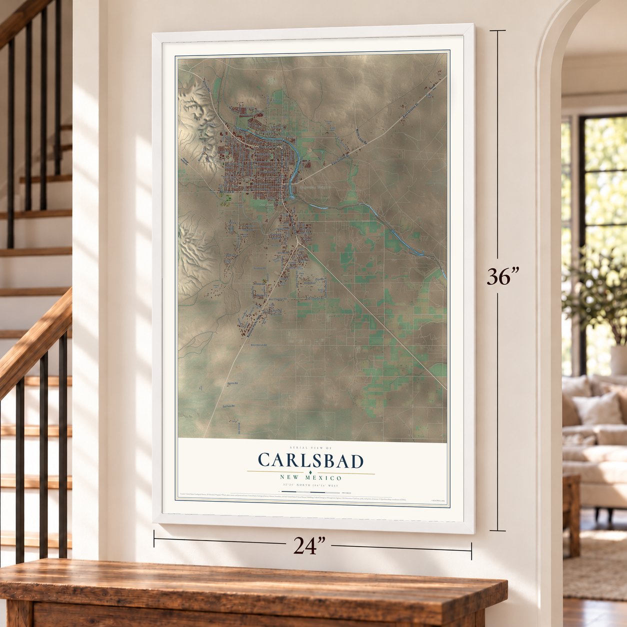
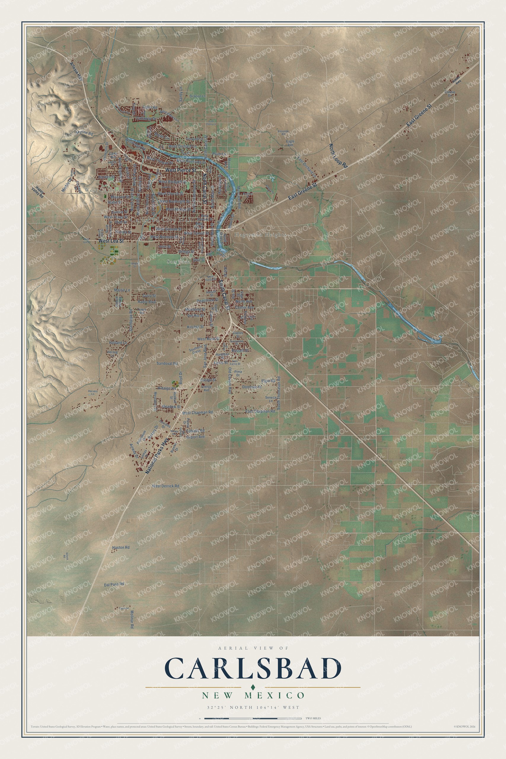
A new map of Carlsbad, New Mexico, made in 2026 and printed to order on thick archival matte paper.
12" x 18" Archival Matte Print
A Map of Home. A Work of Art.
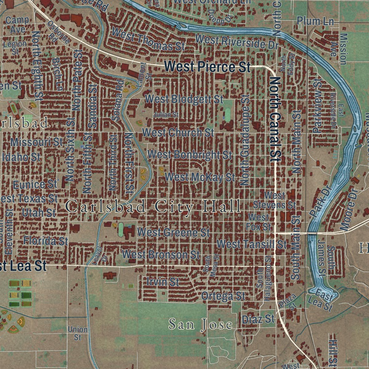
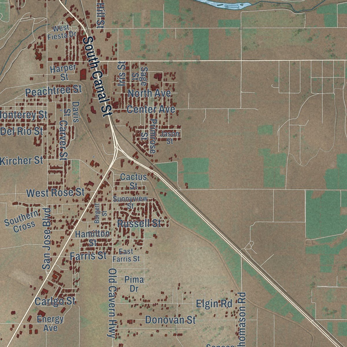
Explore Carlsbad, New Mexico from a whole new perspective. Created using aerial imagery and detailed geographic data, this map captures Carlsbad building by building, with labeled streets, familiar landmarks, and shaded topographical relief that highlights the natural contours of the landscape.
Combining modern data with the timeless character of a vintage atlas, this map is just as interesting up close as it is beautiful on the wall. Whether you grew up in Carlsbad, spent memorable years there, or call it home today, this unique map is a great way to celebrate a place that means something to you. Zoom in on the preview to look for your street, and then order a print to put your memories on the wall.
Three ways to hang it
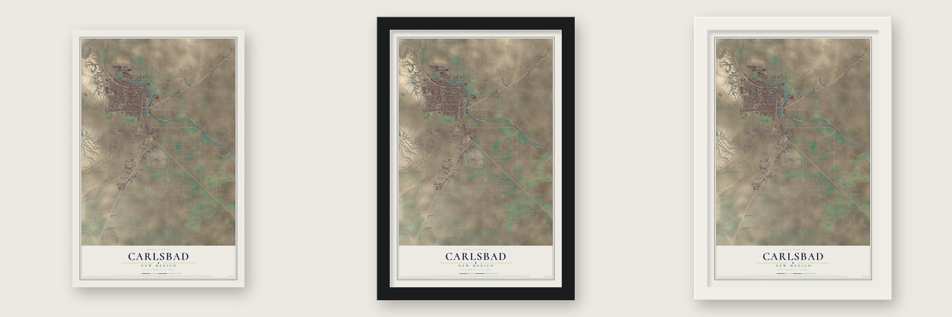
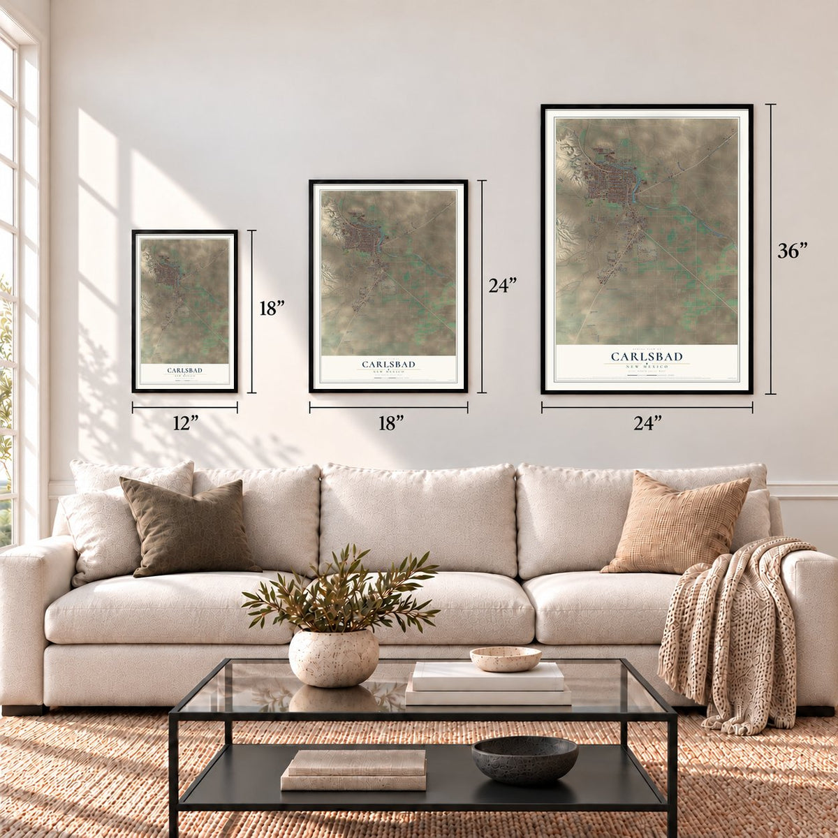
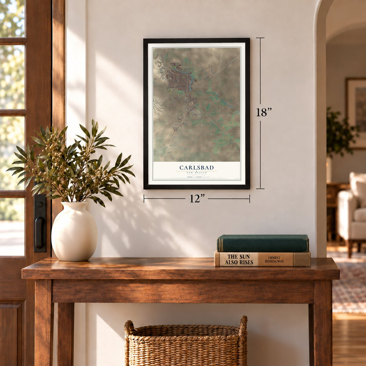
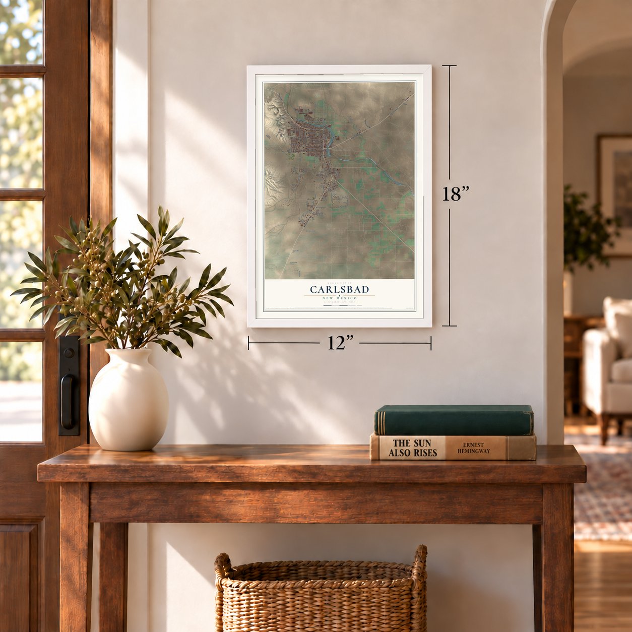
Unframed archival matte, a black wood frame or a white wood frame.
Up close
Geography Worth Displaying
This map was created using accurate cartographic data and authoritative geographic sources, including the U.S. Geological Survey and the Census Bureau. The map brings together terrain, waterways, roads, and building detail. The majority of the streets are labeled, houses are accurately depicted, and the topography is derived from government sources. Combining local data with carefully composed color and shading leads to this beautifully detailed Carlsbad artwork for your wall.
Rather than simply showing street outlines, we’ve included as many of the street names as we could reasonably fit on the map while keeping their names legible. Zoom in on the high resolution preview to see exactly what’s on the map. We truly set out to create a statement piece for anyone who loves Carlsbad. So whether it’s for you, or a gift for someone you love, we hope this map of Carlsbad brings back fond memories.
Read the story behind this map of Carlsbad, New Mexico from 2026.

About Carlsbad, New Mexico
Carlsbad is a city of 32,238 people and the county seat of Eddy County. It sits on both banks of the Pecos River, near the Guadalupe Mountains. The town was founded as Eddy on September 15, 1888. It was named for Charles B. Eddy, a co-owner of the Eddy-Bissell Livestock Company, and it became a municipal corporation in 1893.
Before the Pecos Valley Railroad arrived in 1891, visitors left the train at Toyah, Texas, and rode 90 miles by buggy to reach the town. Later, mineral springs near the flume were promoted for their healing powers. So the town voted to take a new name, Carlsbad, after the famous spa of Karlsbad in Bohemia. On March 25, 1918, the population passed 2,000, and Governor Washington Ellsworth Lindsey proclaimed Carlsbad a city.
- A river over a riverLocal cattlemen saw that Pecos water could turn the grazing land of Eddy's Halagueno Ranch into irrigated farms. Workers built the Avalon Dam upstream and dug canals to bring the water into town. Trouble came where a canal met the river again downstream. The Pecos River Flume solved it, first in wood and later in concrete, and it is often called the only place where a river crosses itself.
- Cowboys found Bat Cave in 1901Local cowboys rediscovered the great caves southwest of town in 1901, when people called them Bat Cave. Carlsbad Caverns National Park was created on May 14, 1930, about 20 miles from the city, and it made Carlsbad known far beyond New Mexico.
- Potash since 1925Potash was discovered near Carlsbad in 1925, and for many years the city led the American market. When that market declined in the 1960s, residents and city leaders pushed for the Waste Isolation Pilot Plant, which stores nuclear waste deep in underground salt beds. Congress approved it in 1979, building began in 1980, and the first waste arrived in 1999.
- Built of soft local brickMost of the town's early buildings were made of bricks fired nearby, which were soft and poor in quality. The First National Bank of Eddy, at Canal and Fox streets, is one that still stands, and it joined the National Register in 1976.
Find your street
Names on the Carlsbad map
Every name below is printed on this map. Look for your street, your school, the park where you played, or the pond down the road.
Places and landmarks4
- Carlsbad City Hall
- West Carlsbad
- Hagerman Heights
- San Jose
Streets and roads159
- National Parks Highway
- West Pierce Street
- South Canal Street
- North Canal Street
- East Greene Street
- West Lea Street
- North Loop Road
- West Derrick Road
- North Main Street
- South Main Street
- South Thomason Road
- Boyd Drive
- San Jose Boulevard
- West Greene Street
- North Sixth Street
- Ortega Street
- Standpipe Road
- Park Drive
- West Chapman Road
- Kircher Street
- Hidalgo Road
- Old Cavern Highway
- West Church Street
- West Texas Street
- North Guadalupe Street
- Callaway Drive
- Skyline Road
- West Blodgett Street
- North Eighth Street
- West Tansill Street
Show all 159 streets
- West Riverside Drive
- East Chapman Road
- West Rose Street
- West Bronson Street
- East Orchard Lane
- West Orchard Lane
- West Bonbright Street
- Westridge Road
- West McKay Street
- Elgin Road
- Airport Avenue
- Muscatel Avenue
- Molinar Road
- Irvin Street
- Rotary Drive
- Donovan Street
- Dal Paso Road
- Radio Boulevard
- Carver Street
- Bryan Circle
- North Pate Street
- Airway Drive
- Russell Street
- Ligon Road
- Miehls Drive
- West Thomas Street
- Caballo Road
- Peachtree Street
- Center Avenue
- Monterey Street
- Sandoval Road
- Curry Street
- Farris Street
- North Avenue
- Del Rio Street
- Utah Street
- Idaho Street
- Missouri Street
- Martin Lane
- Garden Street
- North First Street
- North Fifth Street
- Sandy Lane
- Haston Road
- Plum Lane
- Florida Street
- Holland Lane
- Parkview Street
- Eunice Street
- Meadow Street
- Iris Street
- Sandia Street
- Carlgo Street
- Moore Drive
- Troy Drive
- Diaz Street
- Hill Street
- Artesia Highway
- Cactus Street
- East Lea Street
- West Fox Street
- West Stevens Street
- Solana Road
- Dickson Lane
- Hamilton Street
- Primrose Street
- University Drive
- Petroleum Drive
- South James Street
- Davis Street
- Tower Road
- Lomas Drive
- West Cherry Lane
- Mescalero Street
- North Third Street
- South Eleventh Street
- Pebble Hill Road
- Redbud Street
- Vineyard Lane
- Brooks Drive
- Sage Street
- Fountain Drive
- Forest Drive
- Corrales Drive
- Southern Cross
- Eagle Avenue
- Camp Avenue
- Mission Avenue
- Energy Avenue
- Connie Drive
- Pima Drive
- Seneca Lane
- Harper Street
- Birch Lane
- Herzog Lane
- Happy Valley Road
- South Halagueno Street
- Sunnyview Street
- West Fiesta Drive
- Lamont Street
- Elizondo Road
- Legion Street
- Jason Street
- Plaza Street
- Desert Willow Drive
- Osborne Road
- Doepp Drive
- Masters Drive
- Concho Road
- East Farris Street
- South 14th Street
- Harvest Lane
- Union Street
- Hobbs Highway
- East Riverside Drive
- South Mesa Street
- Gillock Road
- Miehls Road
- Ridgecrest Drive
- Quail Hollow Run
- North Eddy Street
- Tagwood
- Burgett Street
- Hays Drive
- East Cherry Lane
- Malaga Avenue
- Lera Circle
- Julian Street
- Leavel Drive
Names are listed as they appear on the printed map. Zoom into the product photos to find them.
The art of mapping a place
How This Map Was Made
Real places. Remarkable detail. Discover the layers that turn geographic data into a map of home.

The view from above
Aerial imagery reveals the character of the land: woodland, open fields, and the patterns of a place.

The shape of the land
Elevation data brings hills, valleys, and subtle changes in the landscape into view.

The details of home
Roads, waterways, and building footprints come together to make the map feel unmistakably local.

Geography becomes art
Considered color, shading, and typography bring the layers together in a map made for your wall.


Process illustrated with Mendon, Massachusetts. Aerial imagery: USDA NAIP. Terrain: USGS 3D Elevation Program. Map details and finished artwork: KNOWOL.
The Details
About This Print
Choose an archival matte print, or a black or white Ayous wood frame. The archival matte print is unframed.
Select your size and finish above to see the matching product image and price.
Materials & Craftsmanship
A contemporary map with the character of a classic atlas, printed on archival matte paper. Optional frames are made from Ayous wood.
Your printed map does not include the watermark shown in the full-map preview.
Shipping & Delivery
Free shipping within the United States. Every print is made to order in the USA.
Buying a gift? Add a note in your cart and we'll include it. We never put prices in the package.
Prints ship within 2 to 3 business days. Allow 7 to 10 days total from ordering for delivery. Timing may vary during holidays or periods of high order volume.
Read our shipping policy.
Returns and damaged prints
Each print is made to order. Change-of-mind refunds are not available after production.
If your print arrives damaged, misprinted or incorrect, contact support@knowol.com within 30 days of receiving it. Include your order number, photos and a description of the issue.
Read our full refund and replacement policy. For questions about your order, email support@knowol.com.
Find your town
Looking for another city?
Find a map of home in our New Mexico collection, or any town in the country.
Nearby
Maps of towns near Carlsbad
Know someone from one of these towns? Their map makes a great gift.
 Livingston Wheeler
, New Mexico
From $39.99See the map
 Happy Valley
, New Mexico
From $39.99See the map
 La Huerta
, New Mexico
From $39.99See the map
More maps nearby: Loving, Malaga, Whites City, Atoka and Loco Hills.