
Search for another town
Free U.S. delivery 7 to 10 days after you order
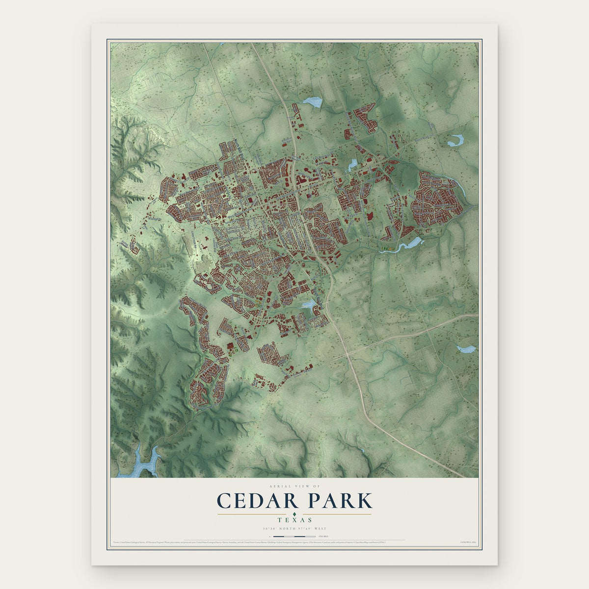
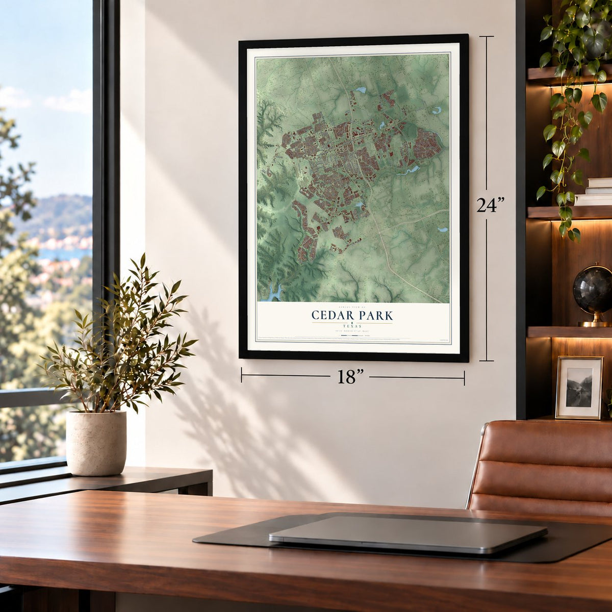
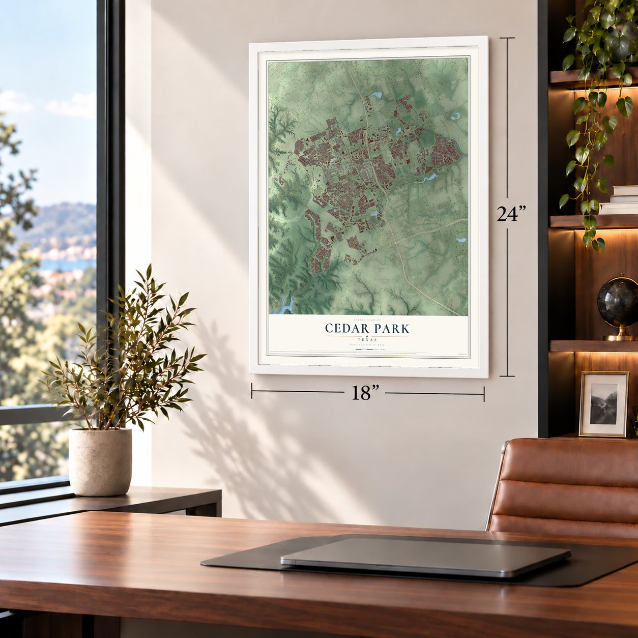
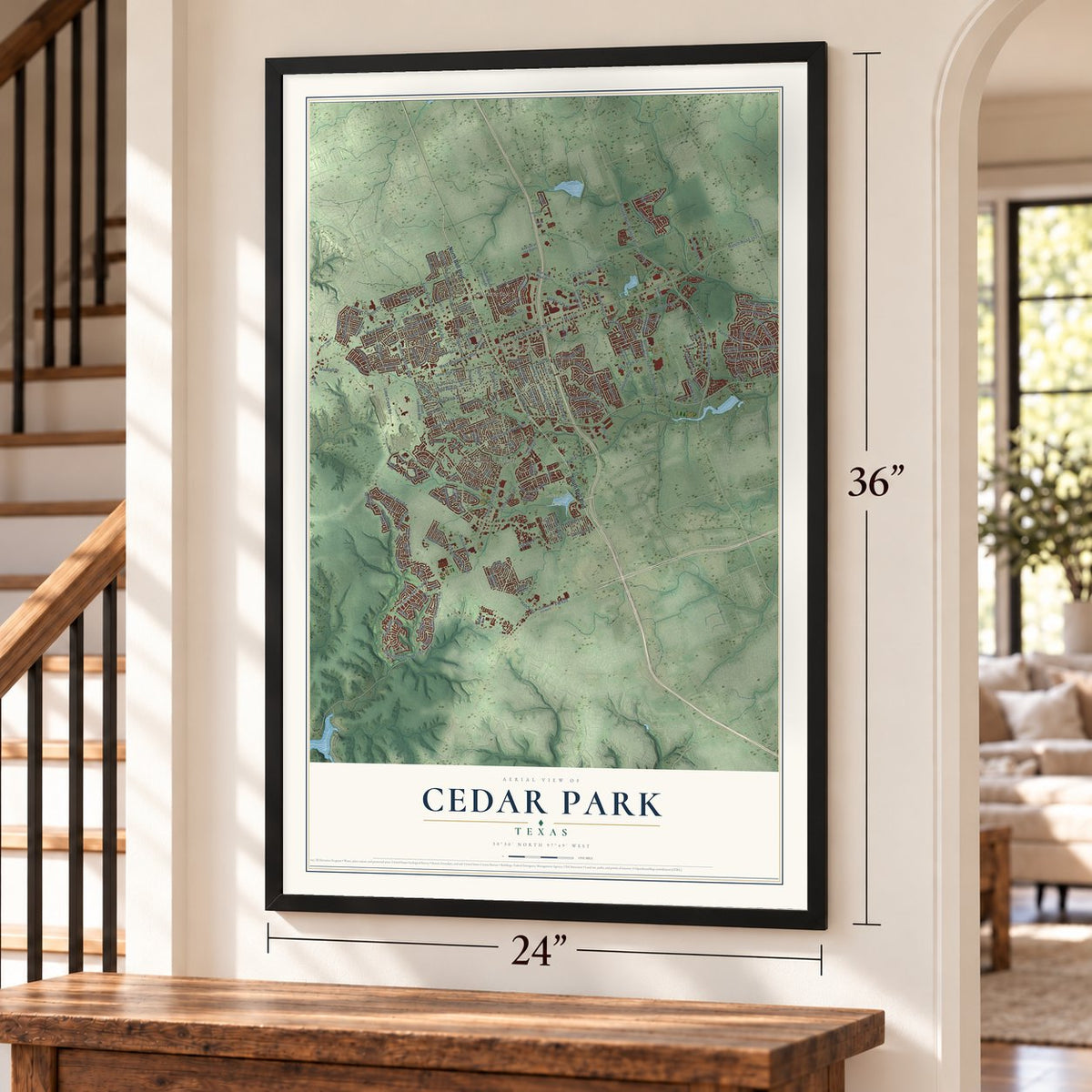
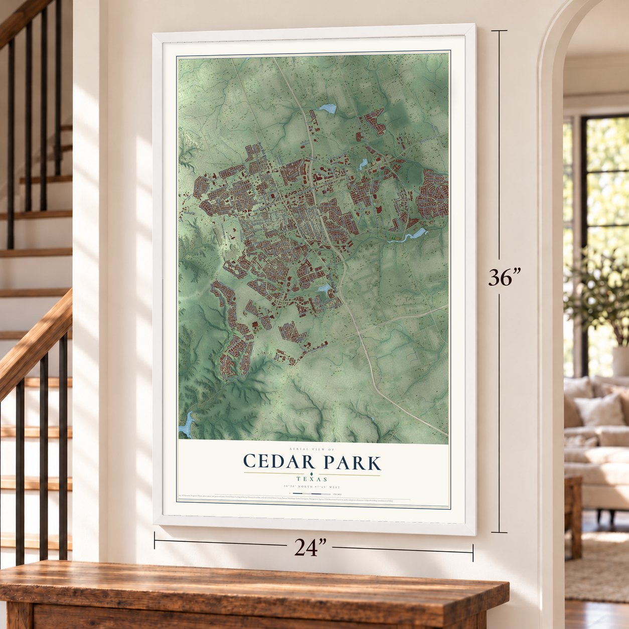
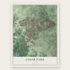
Cedar Park, Texas Map Art
Building by building, with labeled streets and shaded relief.
12" x 18" Archival Matte Print
A Map of Home. A Work of Art.
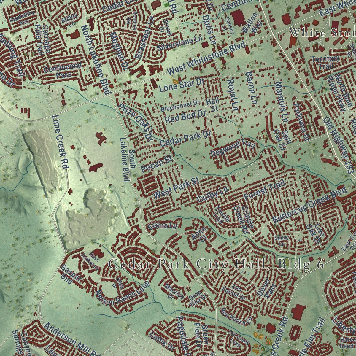
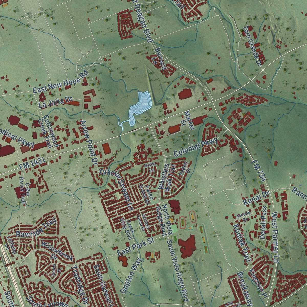
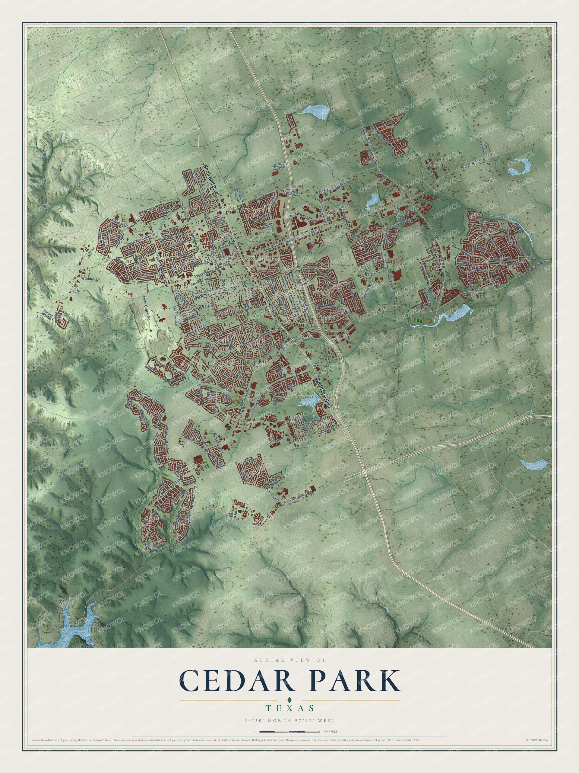
Explore Cedar Park, Texas from a whole new perspective. Created using aerial imagery and detailed geographic data, this map captures Cedar Park building by building, with labeled streets, familiar landmarks, and shaded topographical relief that highlights the natural contours of the landscape.
Combining modern data with the timeless character of a vintage atlas, this map is just as interesting up close as it is beautiful on the wall. Whether you grew up in Cedar Park, spent memorable years there, or call it home today, this unique map is a great way to celebrate a place that means something to you. Zoom in on the preview to look for your street, and then order a print to put your memories on the wall.
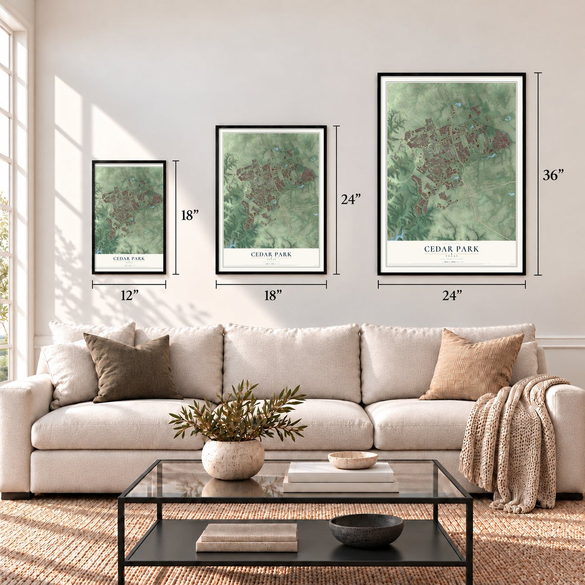
Three ways to hang it
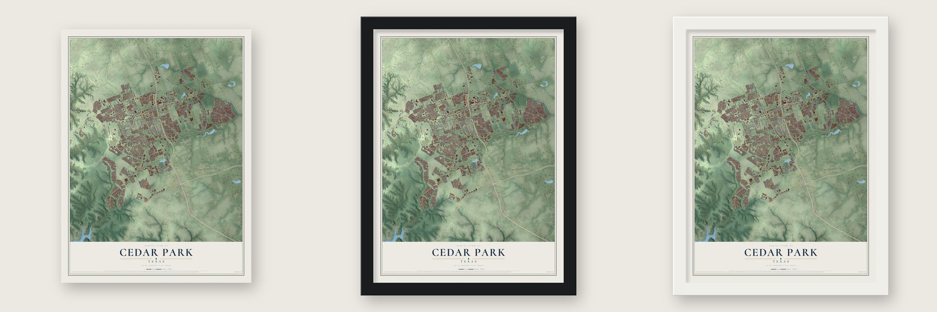
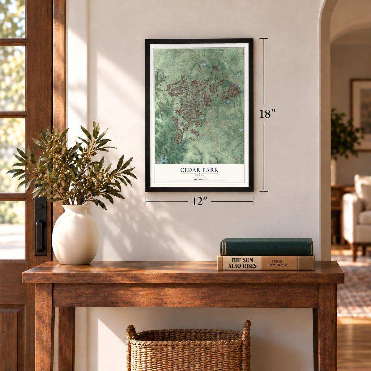
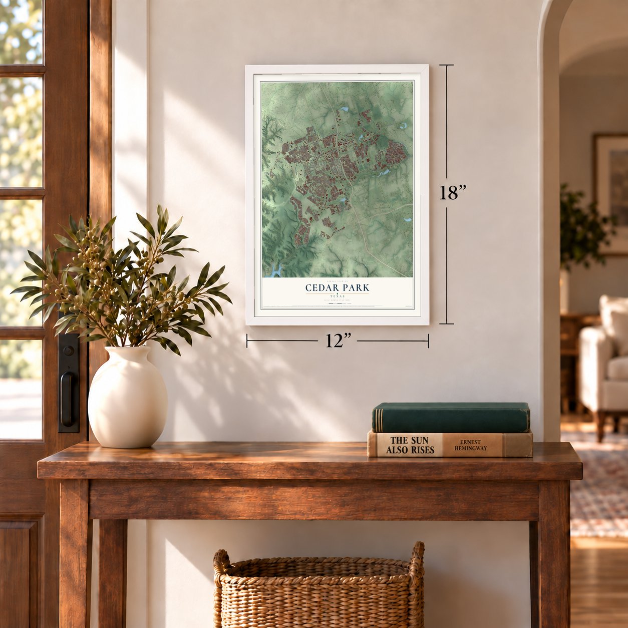
Unframed archival matte, a black wood frame or a white wood frame.
Up close
Geography Worth Displaying
This map was created using accurate cartographic data and authoritative geographic sources, including the U.S. Geological Survey and the Census Bureau. The map brings together terrain, waterways, roads, and building detail. The majority of the streets are labeled, houses are accurately depicted, and the topography is derived from government sources. Combining local data with carefully composed color and shading leads to this beautifully detailed Cedar Park artwork for your wall.
Rather than simply showing street outlines, we’ve included as many of the street names as we could reasonably fit on the map while keeping their names legible. Zoom in on the high resolution preview to see exactly what’s on the map. We truly set out to create a statement piece for anyone who loves Cedar Park. So whether it’s for you, or a gift for someone you love, we hope this map of Cedar Park brings back fond memories.
Read the story behind this map of Cedar Park, Texas from 2026.
Find your street
Names on the Cedar Park map
Every name below is printed on this map. Look for your street, your school, the park where you played, or the pond down the road.
Places and landmarks3
- Walkerton
- White Stone
- Lakeline Park
Streets and roads219
- North Bell Boulevard
- South Bell Boulevard
- Anderson Mill Road
- North Lakeline Boulevard
- Lime Creek Road
- FM 734
- West Parmer Lane
- Pagedale Drive
- FM 1431
- Ranch Road 1431
- Brushy Creek Road
- East Whitestone Boulevard
- West Whitestone Boulevard
- Ronald West Reagan Boulevard
- Little Elm Trail
- Cypress Creek Road
- West New Hope Drive
- East Park Street
- Buttercup Creek Boulevard
- West Park Street
- Cedar Park Drive
- North Frontier Lane
- Ranch Trail
- South Lynnwood Trail
- Twin Creeks Club Drive
- Grand Oaks Loop
- East New Hope Road
- Lone Star Drive
- Cedar Hills Boulevard
- Liberty Oaks Boulevard
Show all 219 streets
- Sumac Lane
- Brashear Lane
- Prize Oaks Drive
- Bagdad Road
- Remington Road
- Main Street
- FM 2769
- South Frontier Lane
- Walsh Hill Trail
- Cypress Lane
- Dies Ranch Road
- Zambia Drive
- Gupton Way
- Woodall Drive
- Medical Parkway
- Monaco Drive
- South Buffalo Avenue
- Hatch Road
- Manada Trail
- Arrow Wood Road
- Arrow Point Drive
- Colby Lane
- Riviera Drive
- Forest Trail
- El Salido Parkway
- Colonial Parkway
- Wheaton Trail
- Old Mill Road
- Breakaway Road
- FM 620
- Cedar Crest Drive
- South Mustang Avenue
- Abbotsbury Drive
- Glacial Stream Lane
- Cougar Country Drive
- Royal Lane
- Lost Pines Lane
- Brady Ridge Drive
- Old Highway 183
- Kodiak Trail
- Trailridge Drive
- Clover Lane
- Rimstone Drive
- Zoa Drive
- Ambling Trail
- Rawhide Trail
- Big Spring Drive
- Marquis Lane
- Goldfinch Drive
- La Jaita Drive
- Heather Drive
- Stiles Lane
- Savanna Lane
- Zeppelin Drive
- Red Bud Drive
- Byfield Drive
- Lovett Lane
- Doris Lane
- Bison Bnd
- Celia Drive
- Central Drive
- Meghan Drive
- Iris Lane
- Baron Lane
- Bmc Drive
- Hawk Drive
- Lobo Street
- Kenai Drive
- Pecan Street
- Kent Lane
- South Lakeline Boulevard
- East Riviera Drive
- Discovery Boulevard
- North Vista Ridge Boulevard
- Nelson Ranch Loop
- South Vista Ridge Boulevard
- Arrowhead Trail
- Continental Pass
- East New Hope Drive
- Avenue of the Stars
- Carriage Hills Trail
- Cottonwood Creek Trail
- Yaupon Trail
- Saddle Ridge Drive
- South Blue Ridge Parkway
- Silverstone Lane
- Kingston Place
- South Bagdad Road
- South Gadwall Lane
- Canyon Springs Drive
- Orchard Falls Drive
- Oakwood Glen Drive
- Heritage Park Drive
- Toro Grande Drive
- Valley View Drive
- Dogwood Trail
- Sunchase Boulevard
- Denali Pass
- South Block House Drive
- Cripple Creek Road
- Pso de Charros
- North Blue Ridge Parkway
- Appennini Way
- Rolling Hills Road
- Market Street
- Willowbrook Drive
- Alexis Drive
- Rhondstat Run
- Tremont Drive
- Parkwest Drive
- Sam Bass Road
- Live Oak Drive
- Whistlers Walk Trail
- Izoro Bend
- Knob Creek Lane
- Deodara Drive
- Elkins Lane
- Meadow Lark Drive
- Barnard Lane
- Walton Way
- Cattle Drive
- Tattler Drive
- East Gann Hill Drive
- Tempe Drive
- Deerfield Park Drive
- Territory Trail
- Dover Pass
- Argento Place
- Green Field Drive
- Gaspar Bnd
- Moray Lane
- Purple Sage Drive
- Hall Street
- Juniper Hills Street
- Windy Terrace
- Walsh Glen Drive
- Anna Court
- Power Lane
- Split Oak Drive
- Clay Lane
- Valk Street
- Maurice Drive
- East Cypress Creek Road
- C-Bar Ranch Trail
- Red Ranch Circle
- Harvest Bend Lane
- Bluebonnet Drive
- Welton Cliff Drive
- North Mustang Avenue
- Farleigh Lane
- Thistle Trail
- Creek Vista Boulevard
- Elm Forest Drive
- Lou Hollow Place
- Abbey Lane
- Paseo Grand Drive
- Guara Drive
- Paden Drive
- Drop Tine Drive
- Lollipop Lane
- Skip Tyler Drive
- Shaun Drive
- Volta Drive
- Lombardi Way
- Fall Creek Loop
- Ranch Road 620 North
- Hur Industrial Boulevard
- Spanish Oak Trail
- Century Lane
- North Buffalo Avenue
- Lazy River Bnd
- Stapleford Drive
- Shea Drive
- Hunter Ace Way
- Nan Lane
- Acadia Bnd
- Vaquero Lane
- Settlers Home Drive
- Hawksbury Way
- Ryan Jordan Lane
- Gholson Drive
- Scottsdale Drive
- Shiloh Street
- Juneau Drive
- Bondick Road
- Drue Lane
- Stallion Drive
- Sunny Lane
- Hollis Lane
Names are listed as they appear on the printed map. Zoom into the product photos to find them.
About Cedar Park, Texas
Cedar Park grew from a settlement around Running Brushy Spring and the ranch established by George and Harriet Cluck. The railroad's arrival in 1882 helped reshape the community, which received its present name in 1887. Incorporated in 1973, the city later expanded rapidly as nearby Austin grew, reaching 77,595 residents in the 2020 census.
- Running BrushyRunning Brushy Spring formed the headwaters of the creek and gave the early community its first name.
- The Cluck RanchIn 1873, George and Harriet Cluck purchased land that included the spring, and their ranch became the center of the growing settlement.
- Railroad ArrivalThe Austin and Northwestern Railroad crossed the Cluck property in 1882, when the community was renamed Brueggerhoff.
- A New NameEmmett Cluck chose the name Cedar Park in 1887, inspired by the park-like setting around his home.
- Local MaterialsLimestone was a major local product from the 1890s until about 1970, while cedar fence posts were also important during that period.
Keep exploring Texas
Cedar Park is one of 2,049 Texas towns we've mapped. Every dot on the map is a print of its own.
The search covers every state, Texas first.
Near Cedar Park
Order 2 or more town maps and save 10%. Shown in the size and finish you picked above, so they hang as a set.
- Brushy Creek 12" x 18" / Archival Matte Print $39.99
- Anderson Mill 12" x 18" / Archival Matte Print $39.99
- Leander 12" x 18" / Archival Matte Print $39.99
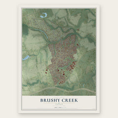
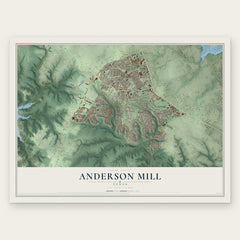
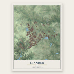
More maps nearby: Jonestown, Volente, Wells Branch, Hudson Bend and Round Rock.
The art of mapping a place
How This Map Was Made
Real places. Remarkable detail. Discover the layers that turn geographic data into a map of home.

The view from above
Aerial imagery reveals the character of the land: woodland, open fields, and the patterns of a place.

The shape of the land
Elevation data brings hills, valleys, and subtle changes in the landscape into view.

The details of home
Roads, waterways, and building footprints come together to make the map feel unmistakably local.

Geography becomes art
Considered color, shading, and typography bring the layers together in a map made for your wall.


Process illustrated with Mendon, Massachusetts. Aerial imagery: USDA NAIP. Terrain: USGS 3D Elevation Program. Map details and finished artwork: KNOWOL.
The Details
About This Print
Choose an archival matte print, or a black or white Ayous wood frame. The archival matte print is unframed.
Select your size and finish above to see the matching product image and price.
Materials & Craftsmanship
A contemporary map with the character of a classic atlas, printed on archival matte paper. Optional frames are made from Ayous wood.
Your printed map does not include the watermark shown in the full-map preview.
Shipping & Delivery
Free shipping within the United States. Every print is made to order in the USA.
Buying a gift? Add a note in your cart and we'll include it. We never put prices in the package.
Prints ship within 2 to 3 business days. Allow 7 to 10 days total from ordering for delivery. Timing may vary during holidays or periods of high order volume.
Read our shipping policy.
Returns and damaged prints
Each print is made to order. Change-of-mind refunds are not available after production.
If your print arrives damaged, misprinted or incorrect, contact support@knowol.com within 30 days of receiving it. Include your order number, photos and a description of the issue.
Read our full refund and replacement policy. For questions about your order, email support@knowol.com.