
Search for another town





Free U.S. delivery 7 to 10 days after you order
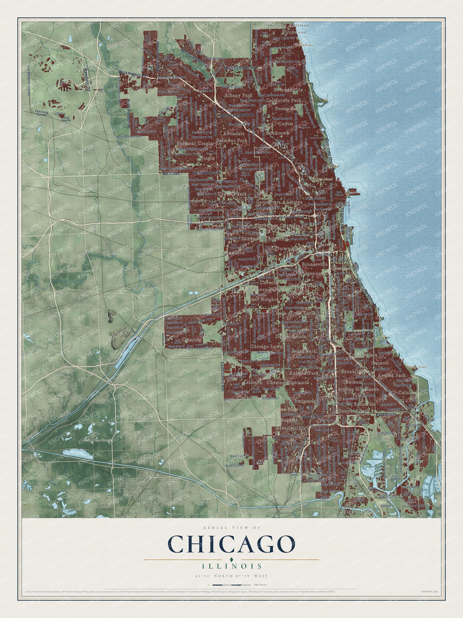
Chicago, Illinois Map Art
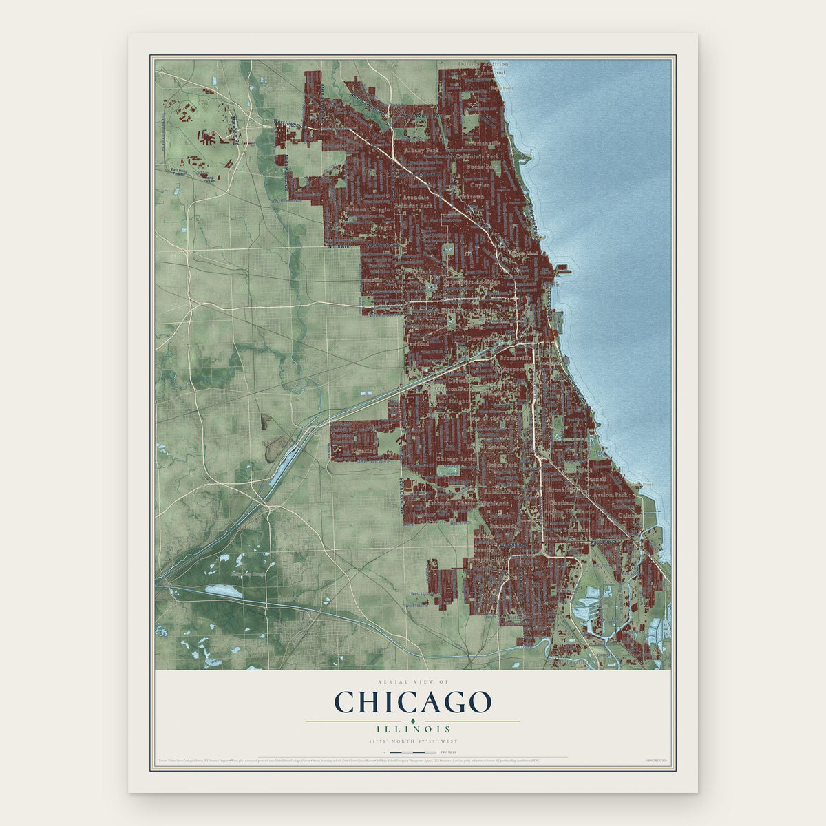
A new map of Chicago, Illinois, made in 2026 and printed to order on thick archival matte paper.
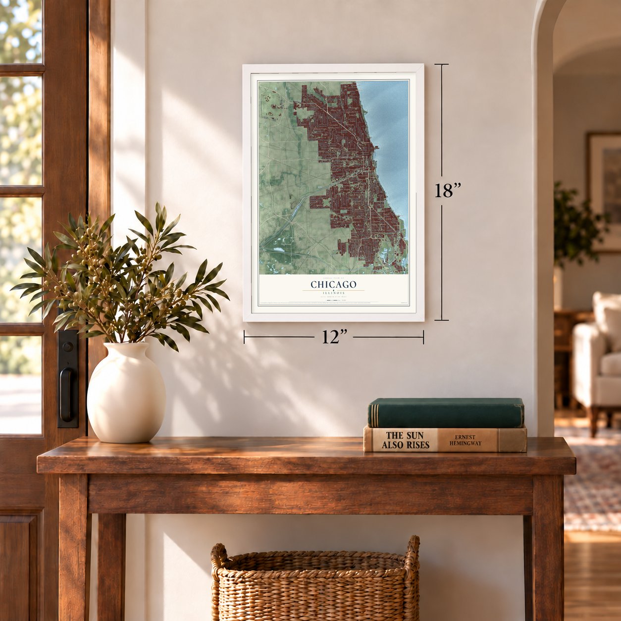
12" x 18" Archival Matte Print
A Map of Home. A Work of Art.
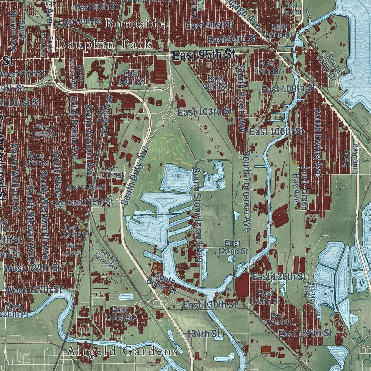
Explore Chicago, Illinois from a whole new perspective. Created using aerial imagery and detailed geographic data, this map captures Chicago building by building, with labeled streets, familiar landmarks, and shaded topographical relief that highlights the natural contours of the landscape.
Combining modern data with the timeless character of a vintage atlas, this map is just as interesting up close as it is beautiful on the wall. Whether you grew up in Chicago, spent memorable years there, or call it home today, this unique map is a great way to celebrate a place that means something to you. Zoom in on the preview to look for your street, and then order a print to put your memories on the wall.
Three ways to hang it
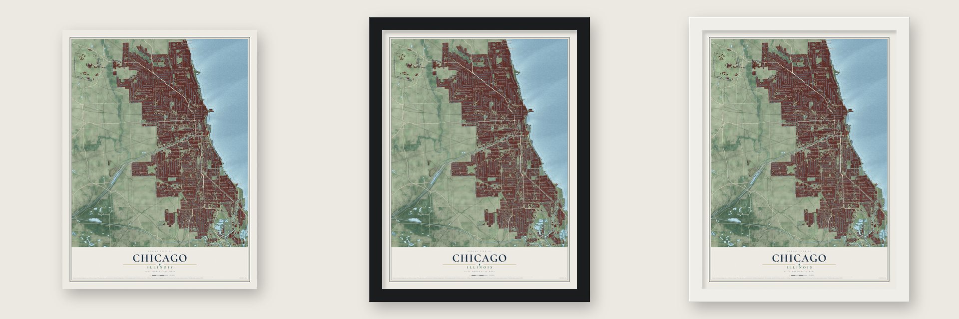
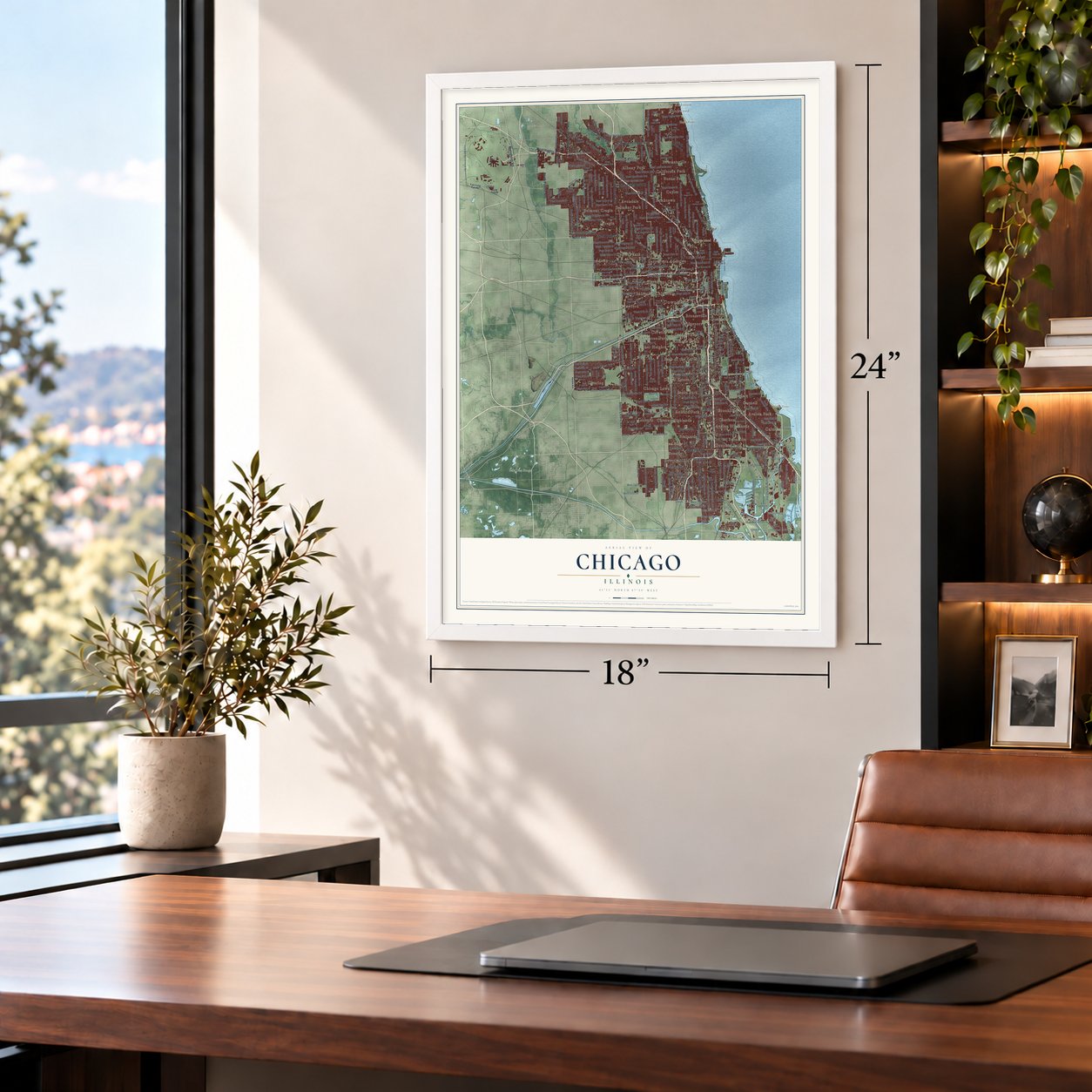
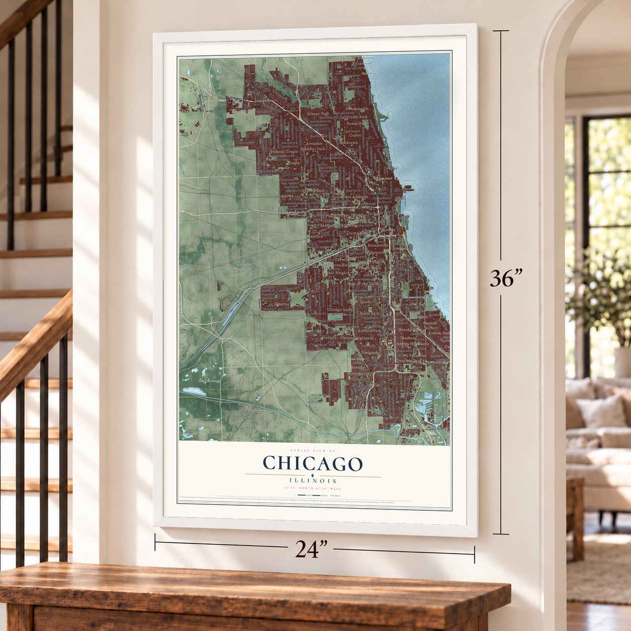
Unframed archival matte, a black wood frame or a white wood frame.
Up close
Geography Worth Displaying
This map was created using accurate cartographic data and authoritative geographic sources, including the U.S. Geological Survey and the Census Bureau. The map brings together terrain, waterways, roads, and building detail. The majority of the streets are labeled, houses are accurately depicted, and the topography is derived from government sources. Combining local data with carefully composed color and shading leads to this beautifully detailed Chicago artwork for your wall.
Rather than simply showing street outlines, we’ve included as many of the street names as we could reasonably fit on the map while keeping their names legible. Zoom in on the high resolution preview to see exactly what’s on the map. We truly set out to create a statement piece for anyone who loves Chicago. So whether it’s for you, or a gift for someone you love, we hope this map of Chicago brings back fond memories.
Read the story behind this map of Chicago, Illinois from 2026.

About Chicago, Illinois
Chicago is a city in Cook County, Illinois. The 2020 census recorded 2,746,388 residents.
- 2,746,388 residents in 2020For the 2020 census, the recorded population of Chicago was 2,746,388.
- A Cook County cityChicago is a city in Cook County, Illinois.
- IncorporationLocal incorporation took effect in 1837.
Find your street
Names on the Chicago map
Every name below is printed on this map. Look for your street, your school, the park where you played, or the pond down the road.
Places and landmarks56
- Downtown
- Blue Island Ridge
- Clarke Point
- Goose Island
- Hayes Point
- Axehead Lake
- Belly Deep Slough
- Albany Park
- Altgeld Gardens
- Archer Heights
- Armour Patch
- Ashburn
Show all 56 places
- Auburn Park
- Austin
- Avalon Highlands
- Avalon Park
- Avondale
- Back of the Yards
- Becks Park
- Belmont Cragin
- Belmont Park
- Beverly
- Beverly Hills
- Birchwood
- Bohemian California
- Bowmanville
- Brainerd
- Bricktown
- Bridgeport
- Brighton Park
- Bronzeville
- Brookdale
- Brookline
- Buena Park
- Burnside
- California Park
- Calumet
- Canaryville
- Carpenters Addition
- Carville
- Central Park
- Chatham
- Chester Highlands
- Chicago Lawn
- Claremont Cottages
- Clarkdale
- Clearing
- Cornell
- Corwith
- Cragin
- Crawford
- Cuyler
- Dauphin Park
- Dolands Addition
- Douglas
- Drexel Estate
Streets and roads398
- South Lake Shore Drive
- North Cicero Avenue
- West North Avenue
- South Cicero Avenue
- West 95th Street
- Lake Shore Drive
- East 95th Street
- West Peterson Avenue
- Mannheim Road
- North Avenue
- North Caldwell Avenue
- North Lake Shore Drive
- West Irving Park Road
- North Harlem Avenue
- South Halsted Street
- West Higgins Road
- North Pueblo Avenue
- South Michigan Avenue
- South State Street
- West Devon Avenue
- South Rockwell Street
- West Madison Street
- West Lake Street
- West Division Street
- South Loomis Street
- West Marquette Road
- West Ohio Street
- North Austin Avenue
- North Sheridan Road
- West 31st Street
Show all 398 streets
- North Tripp Avenue
- East 71st Street
- North Broadway Street
- West Taylor Street
- East 100th Street
- East 106th Street
- North Sheffield Avenue
- East 67th Street
- West Randolph Street
- South King Drive
- North Austin Boulevard
- North Marine Drive
- North State Street
- West 127th Street
- West 16th Street
- South Cottage Grove Avenue
- West Roscoe Street
- North Kedzie Avenue
- South Ellis Avenue
- West 85th Street
- Mann Drive
- South Indiana Avenue
- South Western Avenue
- South Union Avenue
- South Racine Avenue
- South Wentworth Avenue
- South Morgan Street
- South Pulaski Road
- South Kedzie Avenue
- North Milwaukee Avenue
- South Damen Avenue
- South Wabash Avenue
- West Belmont Avenue
- South California Avenue
- South Wallace Street
- North Clark Street
- West Addison Street
- West Grand Avenue
- South Princeton Avenue
- North Western Avenue
- North Elston Avenue
- South Central Park Avenue
- South Stony Island Avenue
- South Archer Avenue
- North Ashland Avenue
- South Hamlin Avenue
- South Homan Avenue
- West 63rd Street
- West Fullerton Avenue
- North Central Avenue
- North California Avenue
- South Vincennes Avenue
- West 51st Street
- South Albany Avenue
- West 55th Street
- North Damen Avenue
- West 65th Street
- West Lawrence Avenue
- West Barry Avenue
- West Bryn Mawr Avenue
- West School Street
- South Kostner Avenue
- West 64th Street
- South Doty Avenue
- West Grace Street
- West Montrose Avenue
- North Pulaski Road
- West Foster Avenue
- West 59th Street
- South La Salle Street
- North Campbell Avenue
- West Jackson Boulevard
- South Keeler Avenue
- West 52nd Street
- North Rockwell Street
- West 57th Street
- West 58th Street
- West 87th Street
- North Leavitt Street
- West Wilson Avenue
- North Menard Avenue
- West Harrison Street
- West 56th Street
- West Roosevelt Road
- West Adams Street
- West Wrightwood Avenue
- North Washtenaw Avenue
- South Lafayette Avenue
- South Woodlawn Avenue
- North Laramie Avenue
- West Van Buren Street
- North Long Avenue
- West Argyle Street
- West 47th Street
- South Troy Street
- South Stewart Avenue
- South Vernon Avenue
- West Berteau Avenue
- West Cortland Street
- West 54th Street
- South Bell Avenue
- West Augusta Boulevard
- West 79th Street
- West Garfield Boulevard
- North Sacramento Avenue
- West Huron Street
- West 83rd Street
- West 115th Street
- West 111th Street
- North Melvina Avenue
- South Torrence Avenue
- West 72nd Street
- West Bloomingdale Avenue
- West 103rd Street
- West 71st Street
- South South Chicago Avenue
- North Halsted Street
- East 87th Street
- West 35th Street
- West Thomas Street
- West 76th Street
- North Oak Park Avenue
- West Kinzie Street
- West 69th Street
- North Nordica Avenue
- West 73rd Street
- West 18th Street
- West Iowa Street
- West Potomac Avenue
- East 83rd Street
- East 103rd Street
- North Narragansett Avenue
- West 74th Street
- West Granville Avenue
- East 130th Street
- East 79th Street
- West 99th Street
- West 70th Street
- West 84th Street
- East 91st Street
- West Touhy Avenue
- North Racine Avenue
- West 26th Street
- East 93rd Street
- East 76th Street
- East 81st Street
- West 36th Street
- East 73rd Street
- West 15th Street
- West Fillmore Street
- 4200 West
- South Knox Avenue
- West 49th Street
- West 33rd Street
- West 101st Street
- 87th Street
- North Southport Avenue
- West 27th Street
- East 134th Street
- South Ewing Avenue
- West 37th Street
- West Warren Boulevard
- West Higgins Avenue
- North East River Road
- South Clark Street
- West 122nd Street
- West 120th Street
- South Hoxie Avenue
- East 53rd Street
- Pulaski Road
- North York Road
- East 126th Street
- Canfield Road
- Payne Drive
- West 124th Street
- Taft Avenue
- 134th Street
- York Road
- North Ridge Avenue
- South Cornell Avenue
- West Logan Boulevard
- East Ohio Street
- South Austin Boulevard
- South Crilly Drive
- State Line Avenue
- West Erie Street
- North Larrabee Street
- East 131st Street
- South Ashland Avenue
- South Prairie Avenue
- South Wood Street
- South Normal Avenue
- South Washtenaw Avenue
- West Diversey Avenue
- West Fullerton Parkway
- South May Street
- West Byron Street
- West Washington Boulevard
- West 61st Street
- North Francisco Avenue
- West Wabansia Avenue
- West Berwyn Avenue
- South Langley Avenue
- North Kilbourn Avenue
- South Kilbourn Avenue
- North Spaulding Avenue
- West Monroe Street
- West Congress Parkway
- South Exchange Avenue
- West Carmen Avenue
- West 66th Street
- West 43rd Street
- South Kolin Avenue
- West 81st Street
- West 45th Street
- West 68th Street
- North Oriole Avenue
- West Lexington Street
- West 77th Street
- West 46th Street
- West 21st Street
- West 48th Street
- East 90th Street
- North New England Avenue
- West 64th Place
- East 92nd Street
- South Canal Street
- West 38th Street
- South Keating Avenue
- West 119th Street
- West 25th Street
- East 88th Street
- West Lunt Avenue
- State Street
- West 106th Street
- West 23rd Street
- South Green Bay Avenue
- West 13th Street
- East 98th Street
- West Pratt Boulevard
- West 97th Street
- West 94th Street
- East 97th Street
- East 99th Street
- West 39th Street
- North Wells Street
- East 69th Street
- West 21st Place
- North Homan Avenue
- East 47th Street
- East 49th Street
- West 83rd Place
- East 50th Street
- North Kingsbury Street
- North Forest Glen Avenue
- East 44th Street
- East 115th Street
- South Butler Drive
- East 41st Street
- East 122nd Street
- North Noble Street
- West 77th Place
- East 35th Street
- North Paris Avenue
- Lower East Randolph Street
- West Ford City Drive
- West Raven Street
- West Imlay Avenue
- West 129th Place
- East 38th Street
- Overhill Avenue
- East 29th Street
- East 129th Street
- 29th Street
- East Irving Park Road
- South Calumet Avenue
- South Laflin Street
- South Lawndale Avenue
- North Paulina Street
- South Karlov Avenue
- North Kostner Avenue
- West 62nd Street
- West Dickens Avenue
- North Hamlin Avenue
- South Dorchester Avenue
- West Fulton Street
- West Polk Street
- South Wells Street
- North Mozart Street
- South Yale Avenue
- West Le Moyne Street
- North Whipple Street
- West 105th Street
- South Federal Street
- South Jeffery Boulevard
- West 109th Street
- East 82nd Street
- North Northwest Highway
- West 63rd Place
- North Natoma Avenue
- West Gladys Avenue
- North Ottawa Avenue
- West Gunnison Street
- North Wood Street
- West Jarvis Avenue
- West Columbus Avenue
- West 118th Street
- South Forest Avenue
- East 111th Street
- East 63rd Street
- North Ionia Avenue
- East 61st Street
- East 68th Street
- South Dauphin Avenue
- North Mc Vicker Avenue
- East 132nd Street
- West 40th Street
- East 113th Street
- West 22nd Place
- North Lehigh Avenue
- Redfield Drive
- West Forest Preserve Drive
- South Hillock Avenue
- East 119th Street
- Irving Park Road
- South Harlem Avenue
- South Central Avenue
- Elsworth Drive
- Cottage Grove Avenue
- West Wellington Avenue
- South Perry Avenue
- South Sacramento Avenue
- South Honore Street
- North Kimball Avenue
- North Lavergne Avenue
- North Troy Street
- West 104th Street
- East 89th Street
- North Fairfield Avenue
- West Newport Avenue
- East 74th Street
- East 72nd Street
- West Albion Avenue
- West 14th Street
- West Webster Avenue
- South Normal Boulevard
- West 114th Street
- West 75th Street
- West Montana Street
- South Mason Avenue
- West Douglas Boulevard
- Luis Munoz Marin Drive
- West Quincy Street
- West Talcott Avenue
- South Clinton Street
- West 24th Place
- Ogden Avenue
- West 47th Place
- South Merrimac Avenue
- West 14th Place
- West 29th Street
- Access Road
- Wolf Lake Boulevard
- Foster Avenue
- West 31st Boulevard
- Central Avenue
- North Lieb Avenue
- East 121st Place
Names are listed as they appear on the printed map. Zoom into the product photos to find them.
The art of mapping a place
How This Map Was Made
Real places. Remarkable detail. Discover the layers that turn geographic data into a map of home.

The view from above
Aerial imagery reveals the character of the land: woodland, open fields, and the patterns of a place.

The shape of the land
Elevation data brings hills, valleys, and subtle changes in the landscape into view.

The details of home
Roads, waterways, and building footprints come together to make the map feel unmistakably local.

Geography becomes art
Considered color, shading, and typography bring the layers together in a map made for your wall.


Process illustrated with Mendon, Massachusetts. Aerial imagery: USDA NAIP. Terrain: USGS 3D Elevation Program. Map details and finished artwork: KNOWOL.
The Details
About This Print
Choose an archival matte print, or a black or white Ayous wood frame. The archival matte print is unframed.
Select your size and finish above to see the matching product image and price.
Materials & Craftsmanship
A contemporary map with the character of a classic atlas, printed on archival matte paper. Optional frames are made from Ayous wood.
Your printed map does not include the watermark shown in the full-map preview.
Shipping & Delivery
Free shipping within the United States. Every print is made to order in the USA.
Buying a gift? Add a note in your cart and we'll include it. We never put prices in the package.
Prints ship within 2 to 3 business days. Allow 7 to 10 days total from ordering for delivery. Timing may vary during holidays or periods of high order volume.
Read our shipping policy.
Returns and damaged prints
Each print is made to order. Change-of-mind refunds are not available after production.
If your print arrives damaged, misprinted or incorrect, contact support@knowol.com within 30 days of receiving it. Include your order number, photos and a description of the issue.
Read our full refund and replacement policy. For questions about your order, email support@knowol.com.
Find your town
Looking for another city?
Find a map of home in our Illinois collection, or any town in the country.
Nearby
Maps of towns near Chicago
Know someone from one of these towns? Their map makes a great gift.
 Cicero
, Illinois
From $39.99See the map
 Stickney
, Illinois
From $39.99See the map
 Forest View
, Illinois
From $39.99See the map
More maps nearby: Berwyn, Oak Park, Bedford Park, Riverside and Forest Park.