
Search for another town
Free U.S. delivery 7 to 10 days after you order
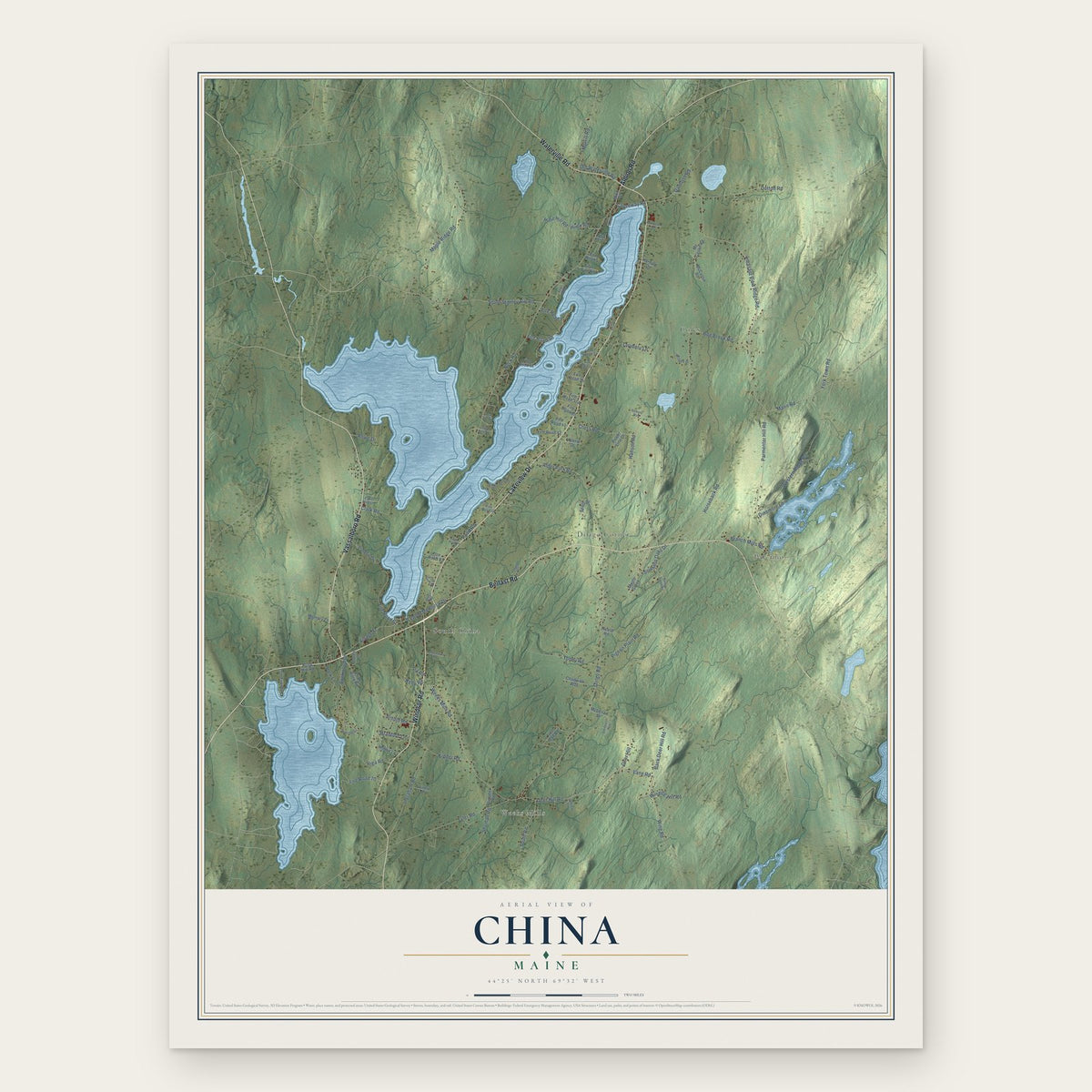
China, Maine Map Art
Building by building, with labeled streets and shaded relief.
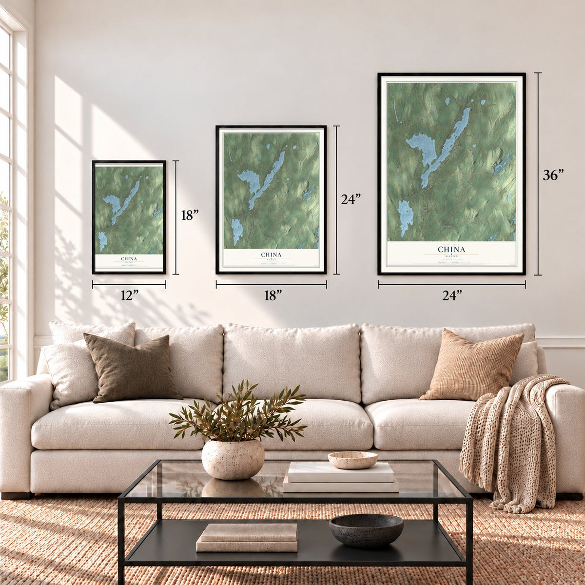
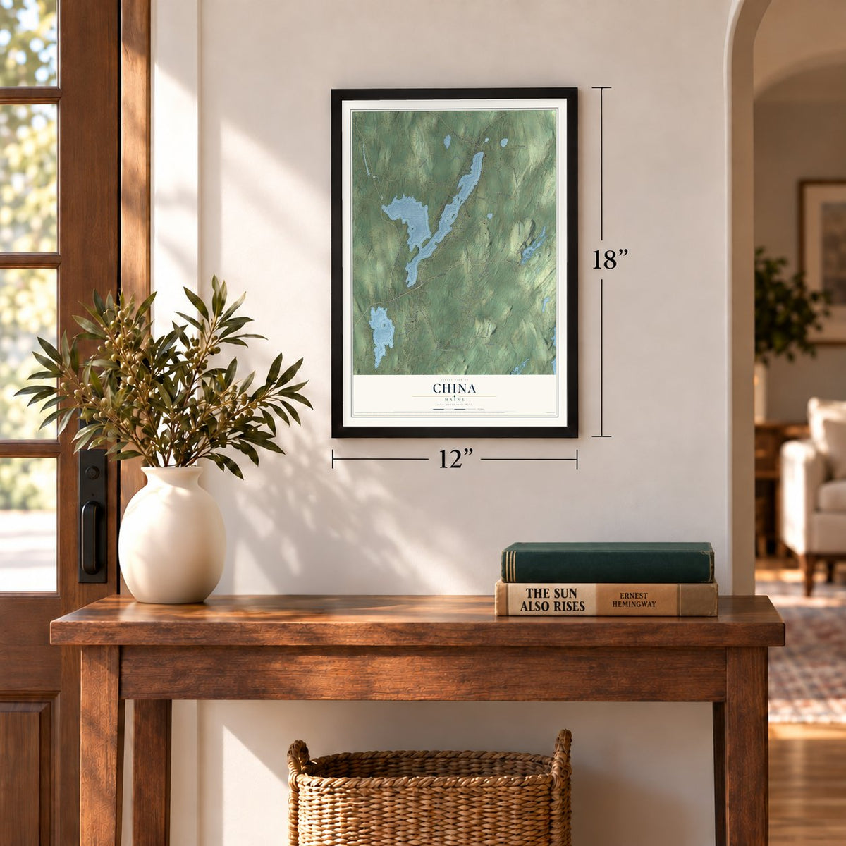
12" x 18" Archival Matte Print
A Map of Home. A Work of Art.
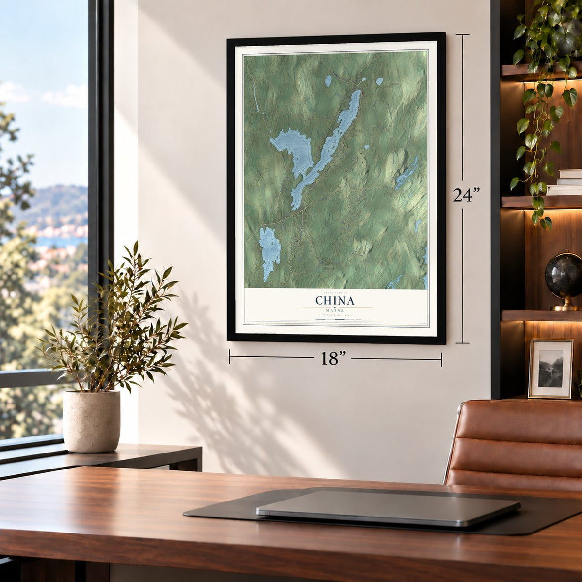
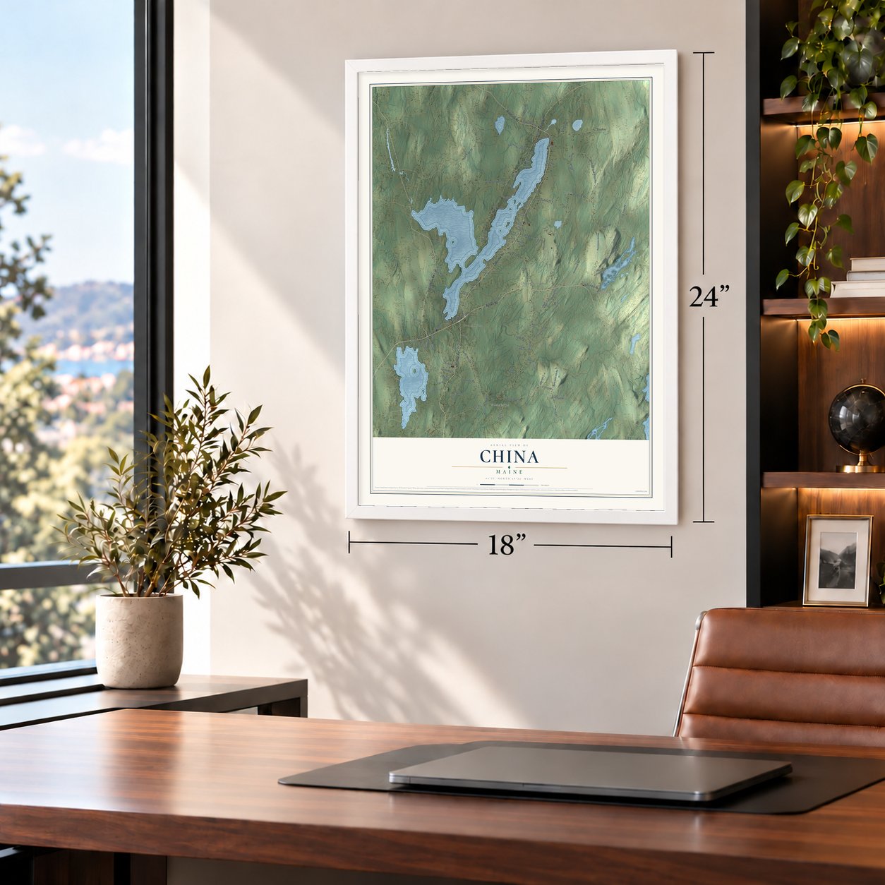
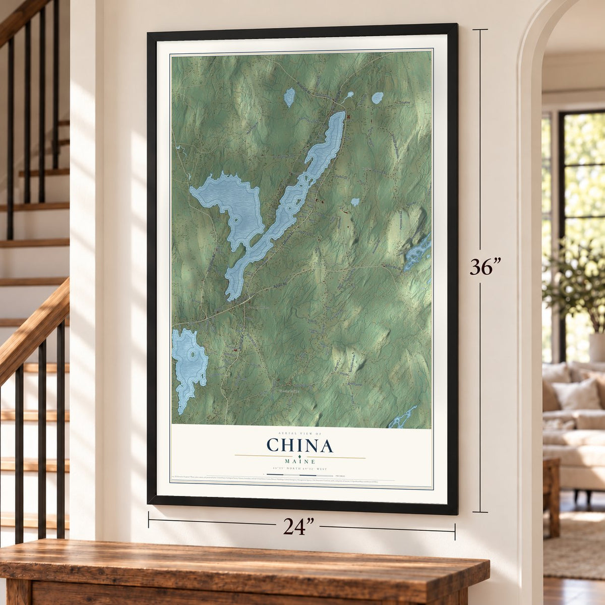
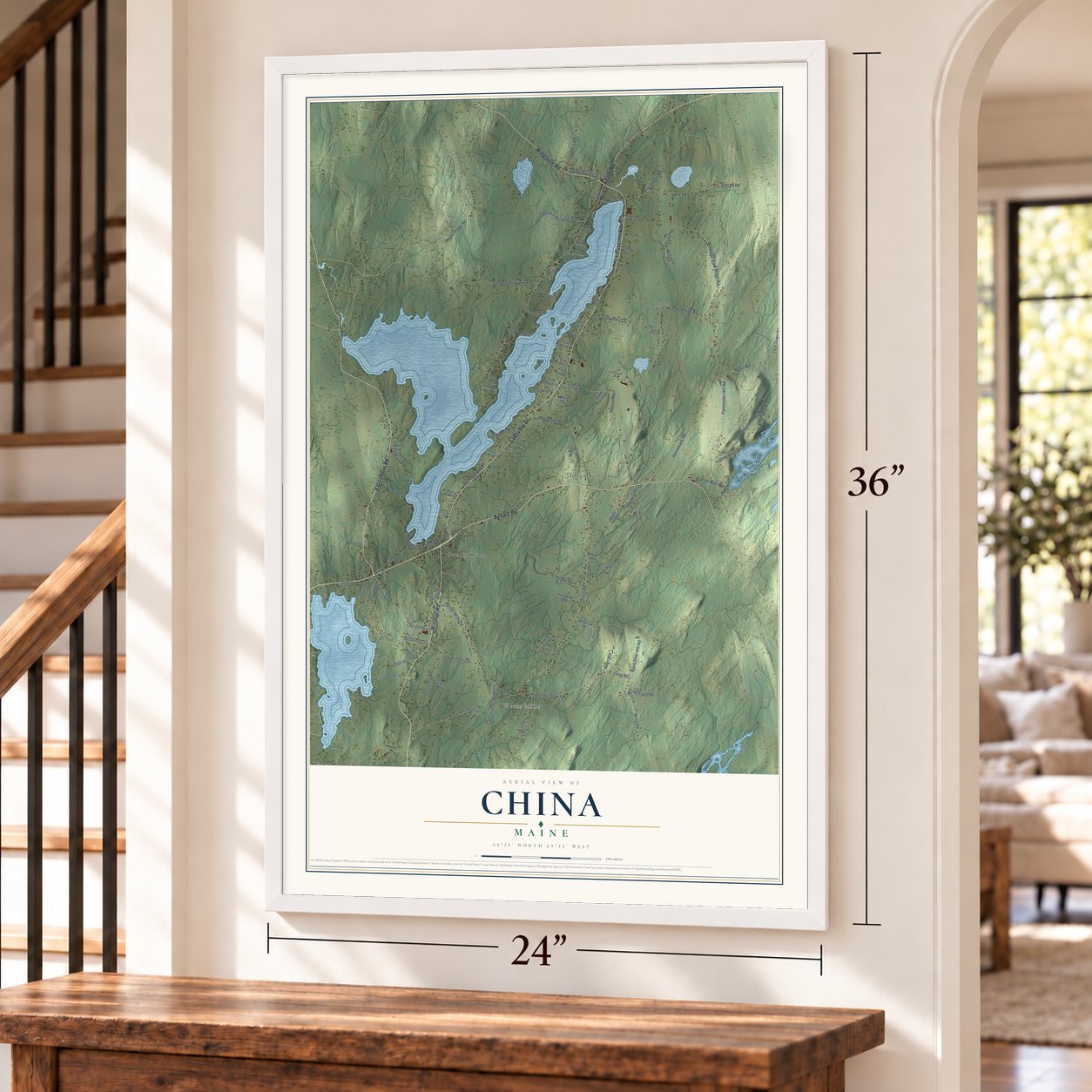
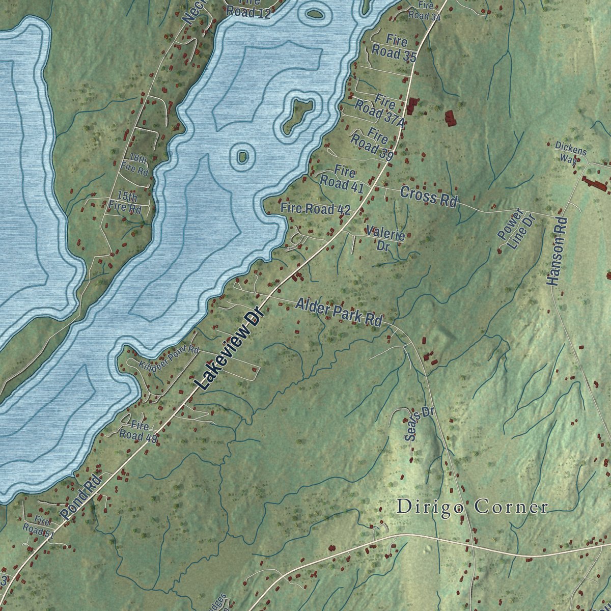
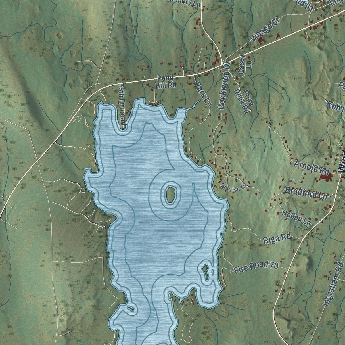
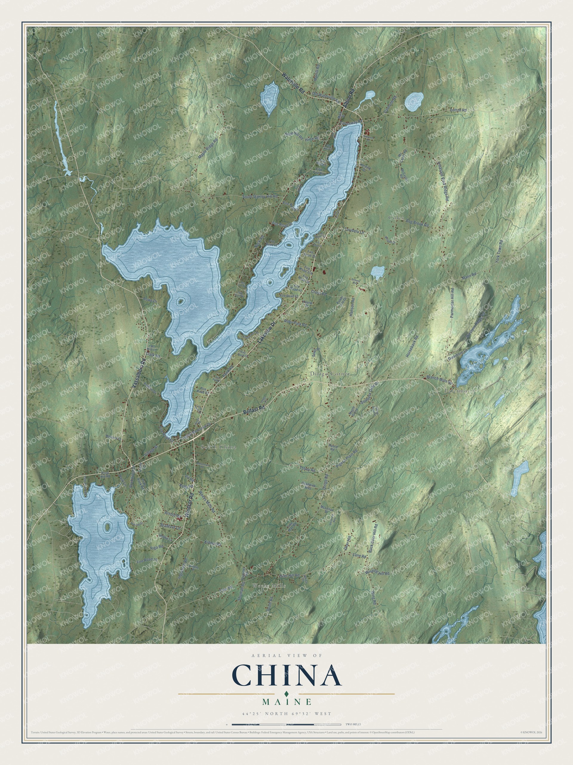
Explore China, Maine from a whole new perspective. Created using aerial imagery and detailed geographic data, this map captures China building by building, with labeled streets, familiar landmarks, and shaded topographical relief that highlights the natural contours of the landscape.
Combining modern data with the timeless character of a vintage atlas, this map is just as interesting up close as it is beautiful on the wall. Whether you grew up in China, spent memorable years there, or call it home today, this unique map is a great way to celebrate a place that means something to you. Zoom in on the preview to look for your street, and then order a print to put your memories on the wall.
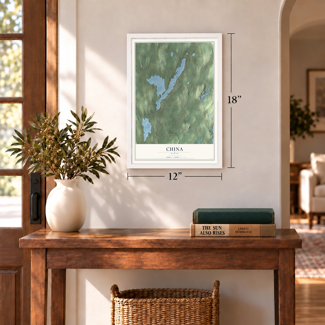
Three ways to hang it
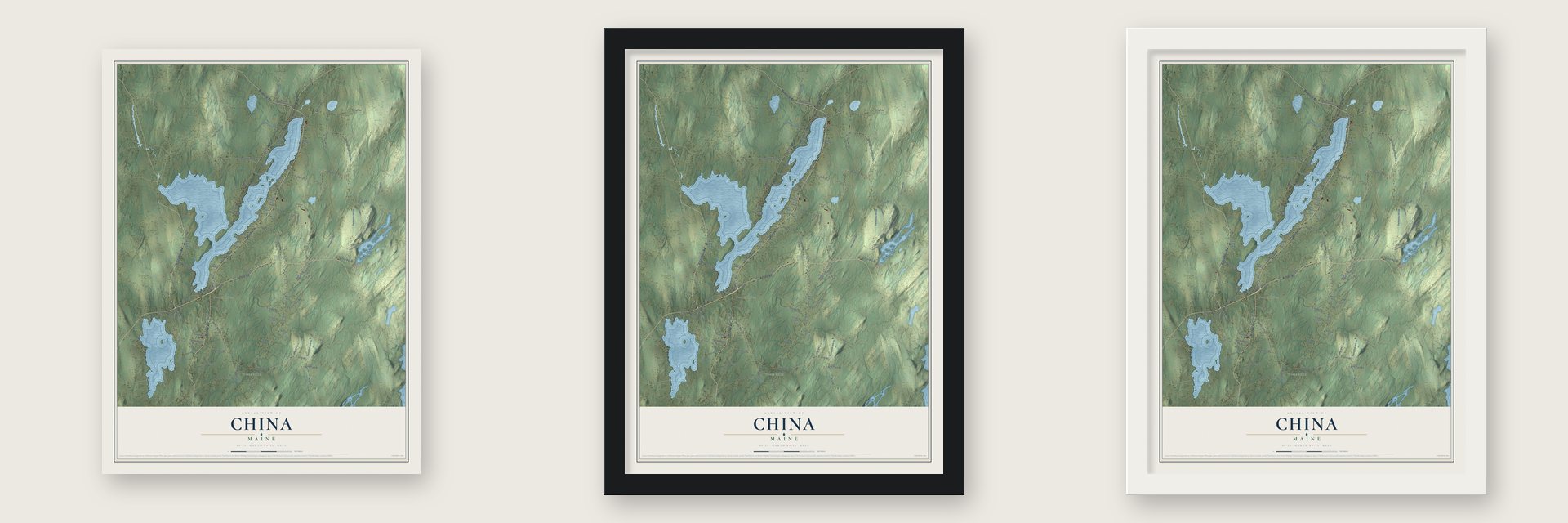
Unframed archival matte, a black wood frame or a white wood frame.
Up close
Geography Worth Displaying
This map was created using accurate cartographic data and authoritative geographic sources, including the U.S. Geological Survey (USGS) and FEMA. The map brings together terrain, waterways, roads, and building detail. The majority of the streets are labeled, houses are accurately depicted, and the topography is derived from government sources. Combining local data with carefully composed color and shading leads to this beautifully detailed China artwork for your wall.
Rather than simply showing street outlines, we’ve included as many of the street names as we could reasonably fit on the map while keeping their names legible. Zoom in on the high resolution preview to see exactly what’s on the map. We truly set out to create a statement piece for anyone who loves China. So whether it’s for you, or a gift for someone you love, we hope this map of China brings back fond memories.
Explore the full map of China, Maine and read about the local places it shows.
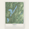
Find your street
Names on the China map
Every name below is printed on this map. Look for your street, your school, the park where you played, or the pond down the road.
Places and landmarks5
- Weeks Mills
- Coles
- Dirigo Corner
- South China
- Palermo
Streets and roads113
- Vassalboro Road
- Lakeview Drive
- Windsor Road
- Waterville Road
- Belfast Road
- Albion Road
- Causeway Road
- Pleasant View Ridge Road
- Mann Road
- Deer Hill Road
- Dirigo Road
- Neck Road
- Branch Mills Road
- Wing Road
- Lane Road
- Alder Park Road
- Bradford Lane
- Legion Memorial Drive
- Fire Road 9
- Hanson Road
- Weeks Mills Road
- South Stanley Hill Road
- Parmenter Hill Road
- Maple Ridge Road
- York Town Road
- Rockwood Drive
- Tyler Road
- Dutton Road
- Horseback Road
- Western Ridge Road
Show all 113 streets
- Ingraham Road
- Tobey Road
- Southern Oaks Drive
- Fire Road 70
- Village Street
- Hime Hill Road
- Hime Road
- Fire Road 61
- Cross Road
- Back Deer Hill Road
- Park Lane
- Kidder Road
- Bog Brook Road
- Riga Road
- Arnold Road
- Deer Hill
- Tarybelu Lane
- South Road
- Morrill Road
- Pigeon Plain Road
- Clark Road
- Winding Hill Road
- Old Waterville Road
- Fire Road 10
- Shuman Road
- Danforth Road
- Dinsmore Lane
- Pond Road
- Pit Road
- Kelly Road
- Rowe Drive
- Main Street
- Free Man Road
- Pellerin Drive
- Mc Caslin Road
- Chadwick Way
- Hobbit Lane
- 75th Fireroad
- Fire Road 12
- Valerie Drive
- Fire Road 39
- Pride Rock Road
- Fire Road 42
- Maple Grove
- Casey Lane
- Fire Road 35
- Fire Road 41
- Memory Lane
- Sears Drive
- Fifth Fire Road
- McLellan Street
- Plummer Road
- McCaslin Road
- Fire Road 53
- Huard Road
- Power Line Drive
- Harding Drive
- Pond Hill Road
- Fire Road 4
- 15th Fire Road
- Jerrica Terrace
- Fire Road 49
- Wildlife Drive
- Jones Road
- Willette Drive
- Sunrise Drive
- Fire Road 7
- Lake Mist Lane
- Fire Road 33
- Fire Road 2
- Killdeer Point Road
- Narrow Gauge Road
- Ledges Lane
- Fire Road 34
- Sheepscott Way
- Demerchant Road
- Fire Road 51
- 16th Fire Road
- Fire Road 55
- Parmenter Terrace
- Dickens Way
- Fire Road 29
- Fire Road 1
Names are listed as they appear on the printed map. Zoom into the product photos to find them.
About China, Maine
China is a town of 4,408 people in Kennebec County, Maine. John "Black" Jones surveyed the land in 1773 and 1774, and in 1774 a Quaker family, Edmund and Rachel Clark, settled here and started Jones' Plantation. The plantation was incorporated as Harlem in 1796, and on June 25, 1818, Harlem joined with land from Fairfax, now Albion, and Winslow to form the Town of China.
Japheth Washburn, a member of the Massachusetts legislature, chose the name. His first pick was Bloomville, but people in Bloomfield feared the two names would be confused, so he named the town for China, one of the hymns he loved best. Timothy Swan of Northfield, Massachusetts, had written that tune in 1790 and printed it in 1801 in his collection, New England Harmony.
- Free families on the ridgeFrom about 1790 to 1860, many families of African-American descent made their homes in what was then a fourth district of China, the high ground between Palermo and Albion, now partly in Thurston Park. One theory says they picked China because it and several nearby Quaker towns would not tolerate slave catchers. With a guide, visitors can find a few of their graves, including a tall obelisk for "Tolbot" on a wooded ridge where a shingle mill once stood.
- Rufus Jones of South ChinaIn 1863 Rufus Jones was born in South China, in a house his grandfather Abel Jones built in 1815. He grew up attending the Pond Meeting House of 1807 and then its replacement, the South China Meeting House, built by Quakers in the 1880s. He taught philosophy at Haverford College for 41 years and wrote over 50 books. In 1917 he helped found the American Friends Service Committee and was its first chairman; it shared the 1947 Nobel Peace Prize.
- Summers at Pendle HillRufus Jones kept coming back to China. His summer house, Pendle Hill, sits on high ground between China Lake and U.S. Route 202, and he returned to it each summer until his death in 1948.
- Missionaries to LiberiaRufus's uncle and aunt, Eli and Sybil Jones, carried their mission work across Europe, the Middle East and West Africa, and in Liberia the country's President received them. Their home, built in 1833, still stands where State Route 3 meets Dirigo Road, east of South China village.
- Academies in 1823 and 1883China Village grew up at the north tip of China Lake, where nearby streams could turn mill wheels, and in 1823 the village gained an academy. About three quarters of the village's buildings date from before 1850, and two of its side streets are named Canton and Peking. In South China, a trust was set up after Sullivan Erskine's death in 1880, and Erskine Academy grew from it, opening in 1883 as the town's private high school.
Keep exploring Maine
China is one of 536 Maine towns we've mapped. Every dot on the map is a print of its own.
The search covers every state, Maine first.
Near China
Order 2 or more town maps and save 10%. Shown in the size and finish you picked above, so they hang as a set.
- Palermo 12" x 18" / Archival Matte Print $39.99
- Vassalboro 12" x 18" / Archival Matte Print $39.99
- Windsor 12" x 18" / Archival Matte Print $39.99
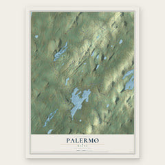
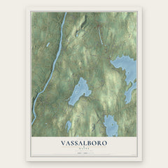
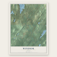
More maps nearby: Winslow, Albion, Somerville, Liberty and Freedom.
The art of mapping a place
How This Map Was Made
Real places. Remarkable detail. Discover the layers that turn geographic data into a map of home.

The view from above
Aerial imagery reveals the character of the land: woodland, open fields, and the patterns of a place.

The shape of the land
Elevation data brings hills, valleys, and subtle changes in the landscape into view.

The details of home
Roads, waterways, and building footprints come together to make the map feel unmistakably local.

Geography becomes art
Considered color, shading, and typography bring the layers together in a map made for your wall.


Process illustrated with Mendon, Massachusetts. Aerial imagery: USDA NAIP. Terrain: USGS 3D Elevation Program. Map details and finished artwork: KNOWOL.
The Details
About This Print
Choose an archival matte print, or a black or white Ayous wood frame. The archival matte print is unframed.
Select your size and finish above to see the matching product image and price.
Materials & Craftsmanship
A contemporary map with the character of a classic atlas, printed on archival matte paper. Optional frames are made from Ayous wood.
Your printed map does not include the watermark shown in the full-map preview.
Shipping & Delivery
Free shipping within the United States. Every print is made to order in the USA.
Buying a gift? Add a note in your cart and we'll include it. We never put prices in the package.
Prints ship within 2 to 3 business days. Allow 7 to 10 days total from ordering for delivery. Timing may vary during holidays or periods of high order volume.
Read our shipping policy.
Returns and damaged prints
Each print is made to order. Change-of-mind refunds are not available after production.
If your print arrives damaged, misprinted or incorrect, contact support@knowol.com within 30 days of receiving it. Include your order number, photos and a description of the issue.
Read our full refund and replacement policy. For questions about your order, email support@knowol.com.