
Search for another town

Free U.S. delivery 7 to 10 days after you order
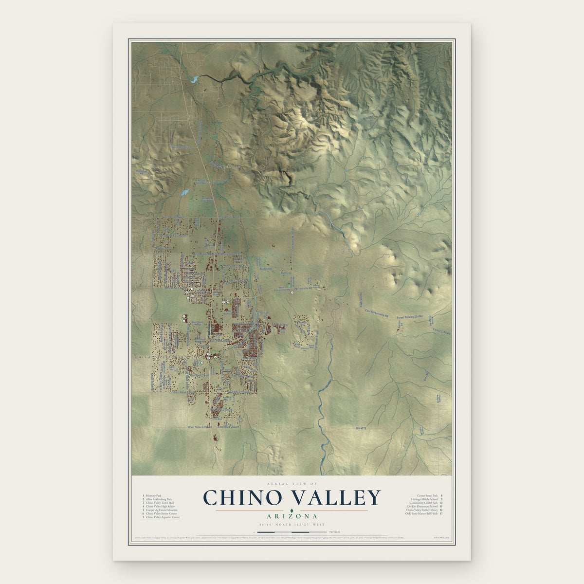
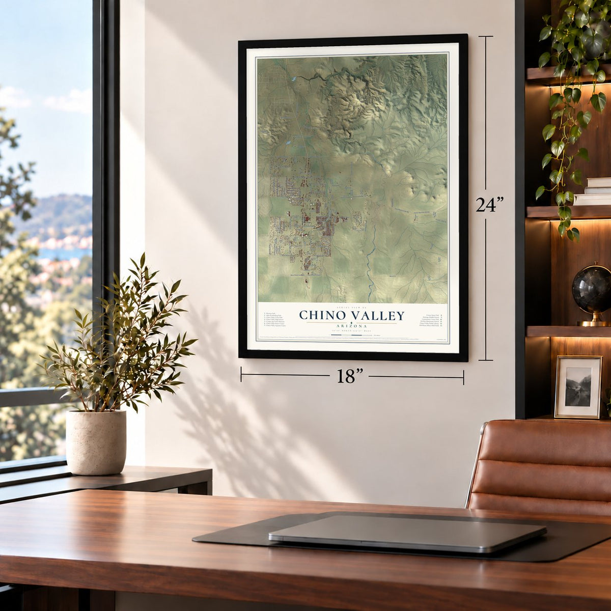
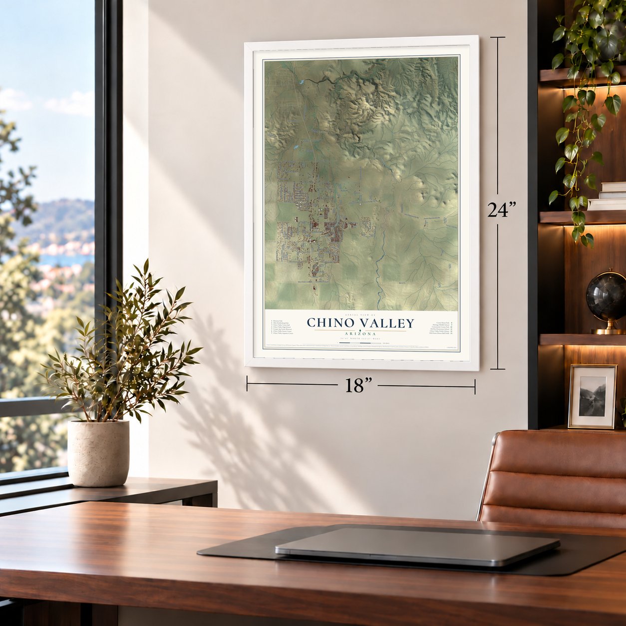
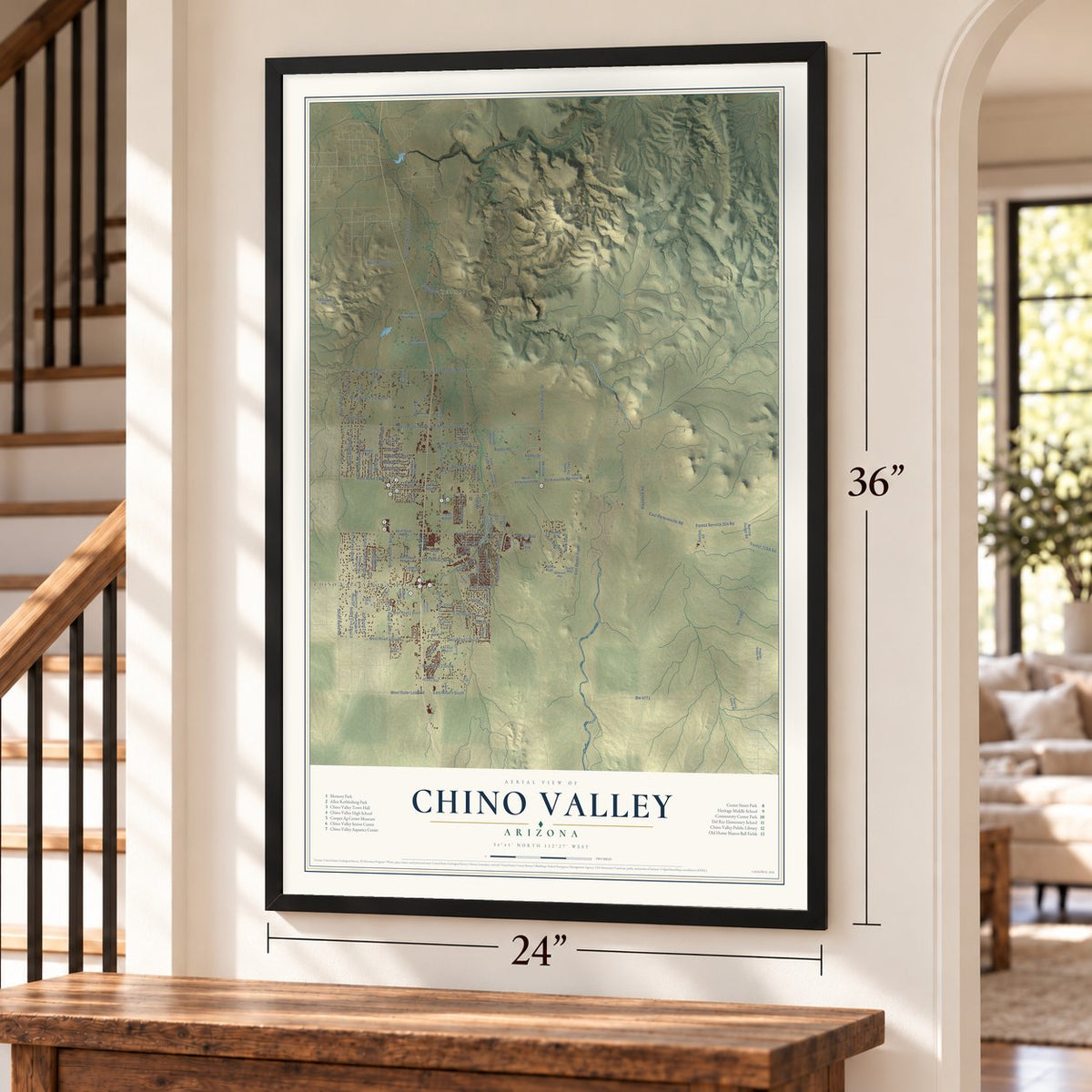
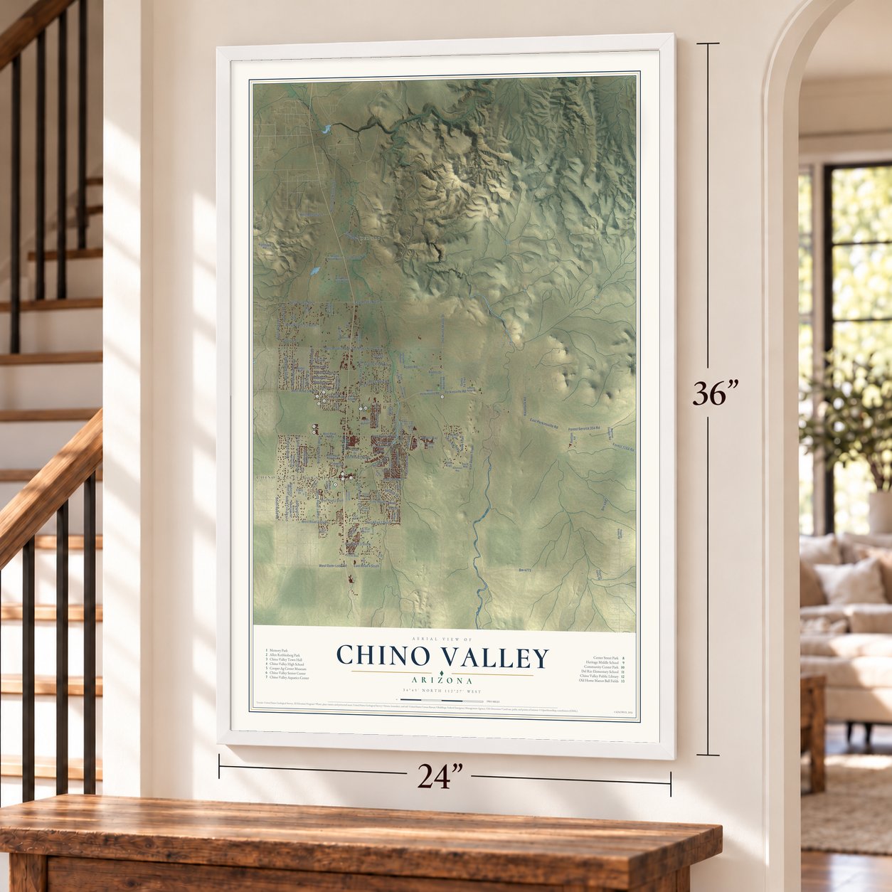
Chino Valley, Arizona Map Art
Building by building, with labeled streets and shaded relief.
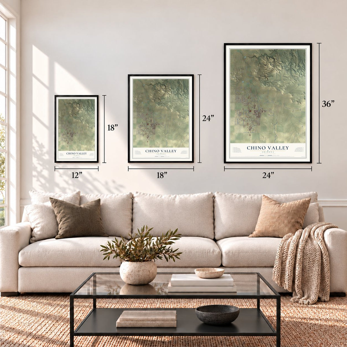
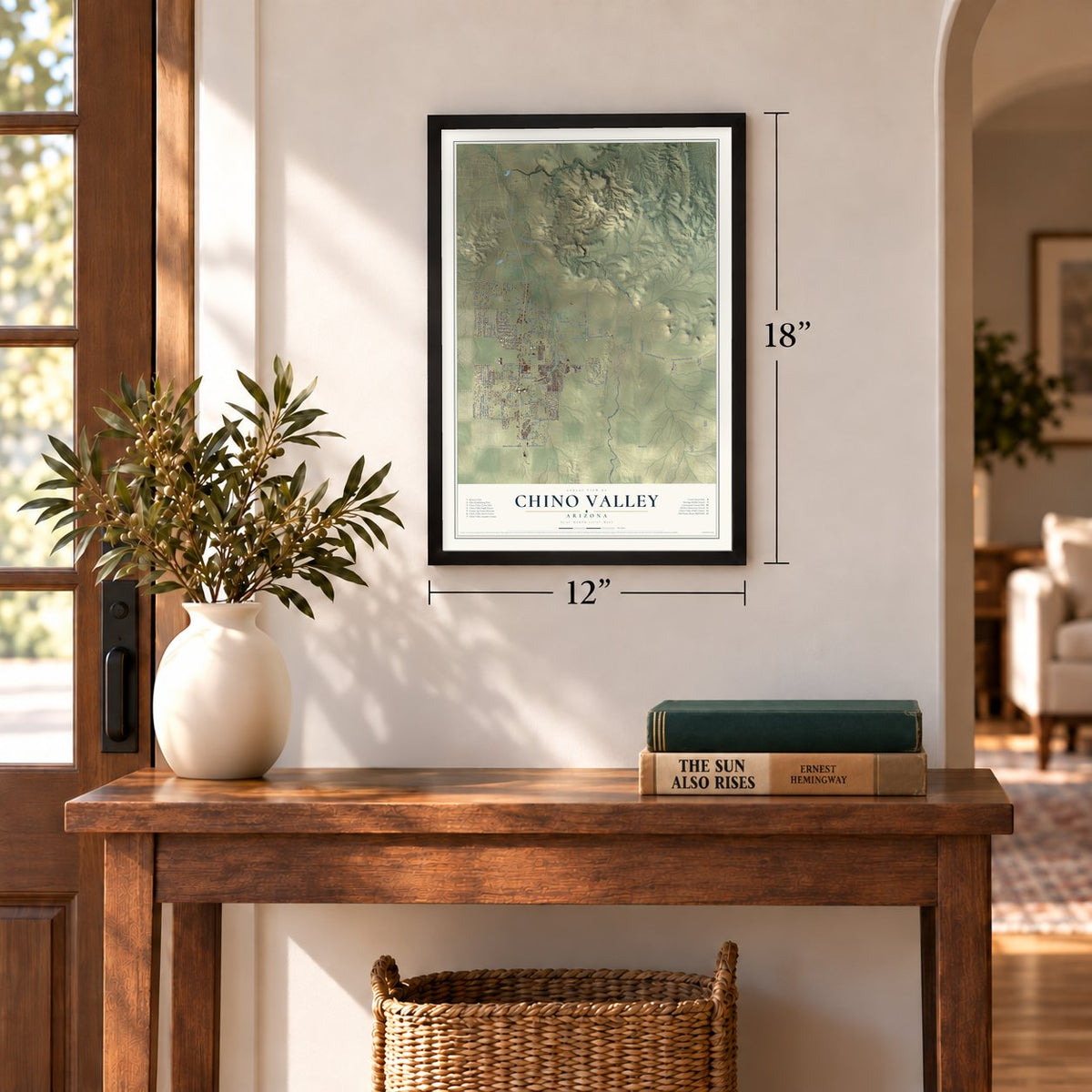
12" x 18" Archival Matte Print
A Map of Home. A Work of Art.
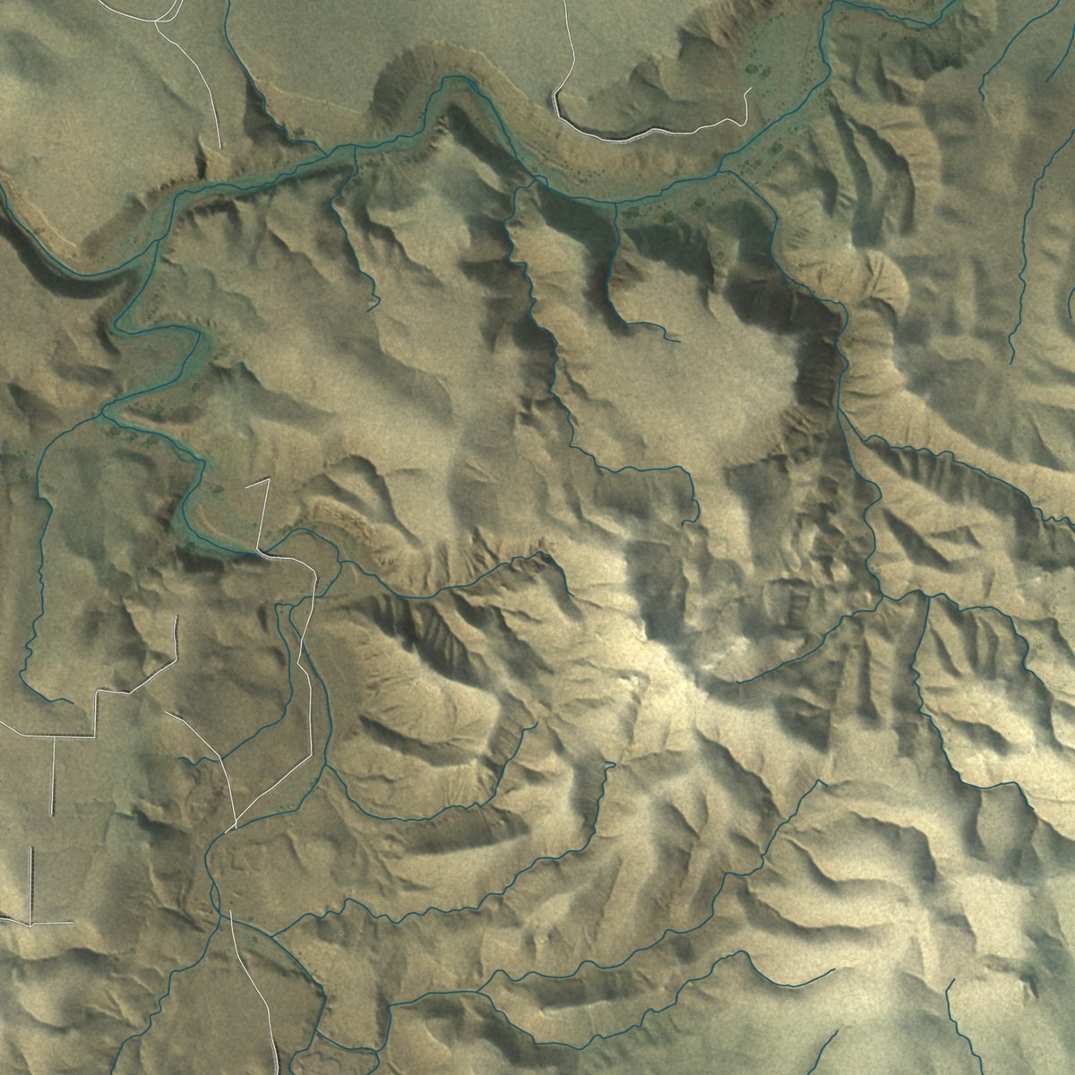
Explore Chino Valley, Arizona from a whole new perspective. Created using aerial imagery and detailed geographic data, this map captures Chino Valley building by building, with labeled streets, familiar landmarks, and shaded topographical relief that highlights the natural contours of the landscape.
Combining modern data with the timeless character of a vintage atlas, this map is just as interesting up close as it is beautiful on the wall. Whether you grew up in Chino Valley, spent memorable years there, or call it home today, this unique map is a great way to celebrate a place that means something to you. Zoom in on the preview to look for your street, and then order a print to put your memories on the wall.

Three ways to hang it
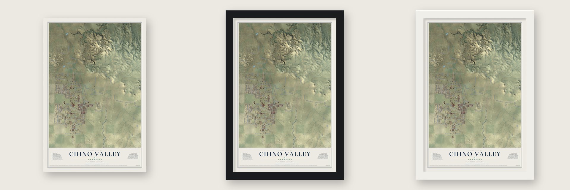
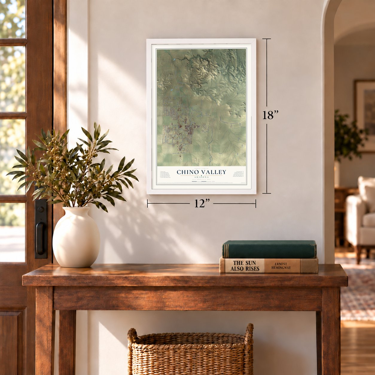
Unframed archival matte, a black wood frame or a white wood frame.
Up close
Geography Worth Displaying
This map was created using accurate cartographic data and authoritative geographic sources, including the U.S. Geological Survey (USGS) and FEMA. The map brings together terrain, waterways, roads, and building detail. The majority of the streets are labeled, houses are accurately depicted, and the topography is derived from government sources. Combining local data with carefully composed color and shading leads to this beautifully detailed Chino Valley artwork for your wall.
Rather than simply showing street outlines, we’ve included as many of the street names as we could reasonably fit on the map while keeping their names legible. Zoom in on the high resolution preview to see exactly what’s on the map. We truly set out to create a statement piece for anyone who loves Chino Valley. So whether it’s for you, or a gift for someone you love, we hope this map of Chino Valley brings back fond memories.
Explore the full map of Chino Valley, Arizona and read about the local places it shows.

Find your street
Names on the Chino Valley map
Every name below is printed on this map. Look for your street, your school, the park where you played, or the pond down the road.
Places and landmarks2
- Chino Valley Town Hall
- Del Rio
Streets and roads143
- Forest Service 354 Road
- East Perkinsville Road
- South Fire Sky Lane
- North Firesky Lane
- South Reed Road
- East Road 2 South
- West Road 3 North
- East Road 4 South
- Nick Trail
- Rodeo Drive
- Tiffany Place
- Rodeo Road
- Bm 4771
- Bm 4882
- North Road 1 West
- North Reed Road
- North Road 1 East
- South Road 1 West
- East Road 2 North
- West Road 4 North
- Perkinsville Road
- West Road 2 South
- West Road 5 North
- South Road 1 East
- East Center Street
- East Road 1 South
- North Old Highway 89
- Old Home Manor Drive
- East Road 1 North
- East Road 5 North
Show all 143 streets
- North Maricopa Street
- North Sycamore Vista Drive
- North Eldred Road
- Cottonwood Lane
- Talia Place
- Bainbridge Lane
- East Red Cinder Road
- West Bethany Lane
- Granite Creek Lane
- Harrison Drive
- West Outer Loop Road
- East Road 3 South
- Heather Lane
- West Kristin Street
- Judy Avenue
- Van Deren Trail
- Railroad Avenue
- Johnson Lane
- Haystack Road
- Prescott Drive
- Bernice Drive
- Cochise Street
- Bacon Lane
- Gables Way
- Mylo Drive
- Taft Avenue
- Ash Drive
- Elk Drive
- North State Route 89
- Old Home Manor Road
- East Juniper Drive
- West Perkinsville Road
- West Road 1 South
- West Road 1 North
- West Road 2 North
- Narrow Guage Road
- West Palomino Road
- East Del Rio Ranch Road
- Talia Way
- Road 6 North West
- East Road 4 North
- Seven Bar Trail
- East Road 6 North
- Palo Verde Drive
- Yo He Wah Drive
- Jerome Junction
- Bumblebee Drive
- South Maricopa Street
- Santa Fe Trail
- Liberty Lane
- East Mahan Lane
- Enterprise Lane
- Homestead Mesa Drive
- Mackenzie Rose Drive
- Delaware Drive
- Nighthawk Road
- Telephone Road
- Navajo Street
- Salida del Sol
- North Val Vista Drive
- Comet Loop
- Willow Lane
- North Clover Lane
- Auction Lane
- East Adams
- Tree Farm Lane
- South Heidi Lane
- Cole Lee Court
- Aztec Drive
- Emily Drive
- Keith Trail
- Cactus Wren Drive
- Tiffany Way
- Kaibab Lane
- North Mohave Street
- Parkside Village Drive
- East Liana Drive
- North Gold Rush Way
- Wendigo Trail
- East Picacho Boulevard
- Jerome Junction Road
- East Adair Drive
- Poquita Valley Road
- Poquito Valley Road
- Johnson Farm Lane
- East New York Place
- East Leah Marie Lane
- Shelby Court
- Amador Lane
- Ute Drive
- David Way
- Sirus Drive
- Robertson Way
- Del Rio Road
- Shooting Range Road
- Choctaw Lane
- Outlaw Road
- Fox Road
- Singletree
- Maple Lane
- North Lucas Lane
- South Chino Drive
- Colorado Way
- North Deer Drive
- East El Valle Drive
- Grove Lane
- Rocking Horse Lane
- Ruth Road
- Stacey Drive
- Kendall Court
- North Angus Place
- Bisjak Lane
- Brent Drive
Names are listed as they appear on the printed map. Zoom into the product photos to find them.
About Chino Valley, Arizona
Chino Valley is a town of 13,020 people in Yavapai County, 15 miles north of Prescott. Lieutenant Amiel W. Whipple came through in 1853 and 1854 while surveying a railroad route along the 35th parallel. He saw grama grass growing near Del Rio Springs and named the area "Val de China." Chino is the Spanish word for that curly grass.
Del Rio Springs became the first seat of Arizona's territorial government. On December 23, 1863, two companies of the First California Volunteers set up an Army post there, under the command of Captain Nathaniel J. Pishon and Major Edward Banker Willis. They called it Fort Whipple to honor Whipple, who had suffered a mortal wound that May at the Battle of Chancellorsville. Governor John Noble Goodwin and most territorial officials reached the fort on January 22, 1864, and ran the government from its tents and huts while he searched for a permanent capital. In the middle of May the fort moved 21 miles south to Granite Creek, and Prescott became the capital.
- Jerome Junction in 1895The United Verde and Pacific Railroad laid its narrow-gauge line to Jerome in 1895, and the line joined the Santa Fe, Prescott and Phoenix Railway here. The settlement that grew up at the meeting point, Jerome Junction, handed its business over to Chino Valley in 1923.
- Incorporated in 1970Chino Valley stayed tiny for decades, with an estimated 50 residents in 1960. Ten years later it incorporated as a town, and the 2020 census counted 13,020 people.
- Camp Clark and Postle's RanchAfter the fort moved south, scouting parties kept using the old site at Del Rio Springs as Camp Clark, and the land was later sold as Postle's Ranch. Some of the early settlers lie in a private cemetery at the springs, and a marker in town recounts its history.
- Granite CreekGranite Creek begins in the Bradshaw Mountains and flows 38 miles to the north-northeast. It passes Prescott, the Granite Dells and Chino Valley before it reaches the Verde, entering that river between Muldoon Canyon and Sullivan Lake.
Keep exploring Arizona
Chino Valley is one of 528 Arizona towns we've mapped. Every dot on the map is a print of its own.
The search covers every state, Arizona first.
Near Chino Valley
Order 2 or more town maps and save 10%. Shown in the size and finish you picked above, so they hang as a set.
- Williamson 12" x 18" / Archival Matte Print $39.99
- Prescott 12" x 18" / Archival Matte Print $39.99
- Prescott Valley 12" x 18" / Archival Matte Print $39.99

More maps nearby: Paulden, Yavapai-Prescott Indian Tribe, Jerome, Dewey-Humboldt and Clarkdale.
The art of mapping a place
How This Map Was Made
Real places. Remarkable detail. Discover the layers that turn geographic data into a map of home.

The view from above
Aerial imagery reveals the character of the land: woodland, open fields, and the patterns of a place.

The shape of the land
Elevation data brings hills, valleys, and subtle changes in the landscape into view.

The details of home
Roads, waterways, and building footprints come together to make the map feel unmistakably local.

Geography becomes art
Considered color, shading, and typography bring the layers together in a map made for your wall.


Process illustrated with Mendon, Massachusetts. Aerial imagery: USDA NAIP. Terrain: USGS 3D Elevation Program. Map details and finished artwork: KNOWOL.
The Details
About This Print
Choose an archival matte print, or a black or white Ayous wood frame. The archival matte print is unframed.
Select your size and finish above to see the matching product image and price.
Materials & Craftsmanship
A contemporary map with the character of a classic atlas, printed on archival matte paper. Optional frames are made from Ayous wood.
Your printed map does not include the watermark shown in the full-map preview.
Shipping & Delivery
Free shipping within the United States. Every print is made to order in the USA.
Buying a gift? Add a note in your cart and we'll include it. We never put prices in the package.
Prints ship within 2 to 3 business days. Allow 7 to 10 days total from ordering for delivery. Timing may vary during holidays or periods of high order volume.
Read our shipping policy.
Returns and damaged prints
Each print is made to order. Change-of-mind refunds are not available after production.
If your print arrives damaged, misprinted or incorrect, contact support@knowol.com within 30 days of receiving it. Include your order number, photos and a description of the issue.
Read our full refund and replacement policy. For questions about your order, email support@knowol.com.