
Search for another town
Free U.S. delivery 7 to 10 days after you order
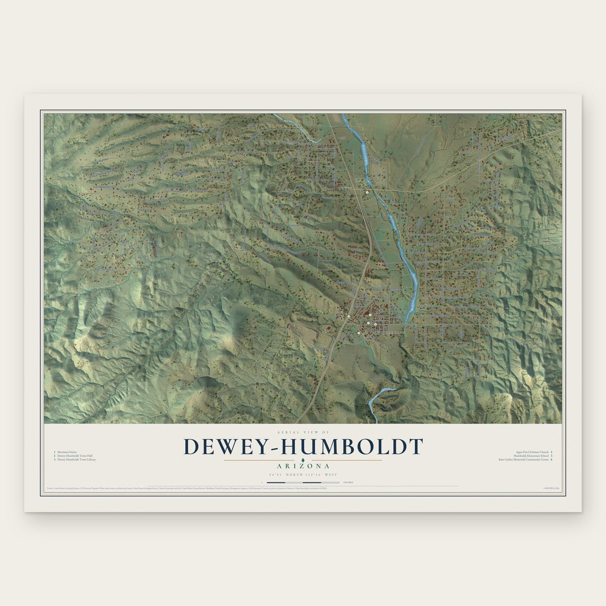
Dewey-Humboldt, Arizona Map Art
Building by building, with labeled streets and shaded relief.
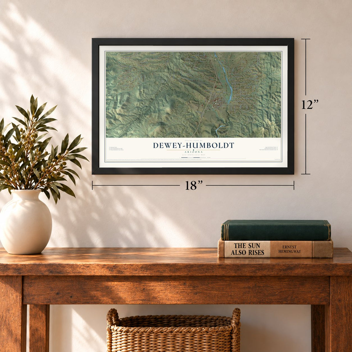
12" x 18" Archival Matte Print
A Map of Home. A Work of Art.
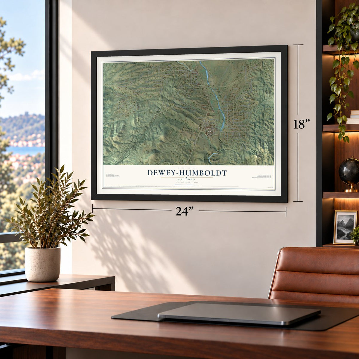
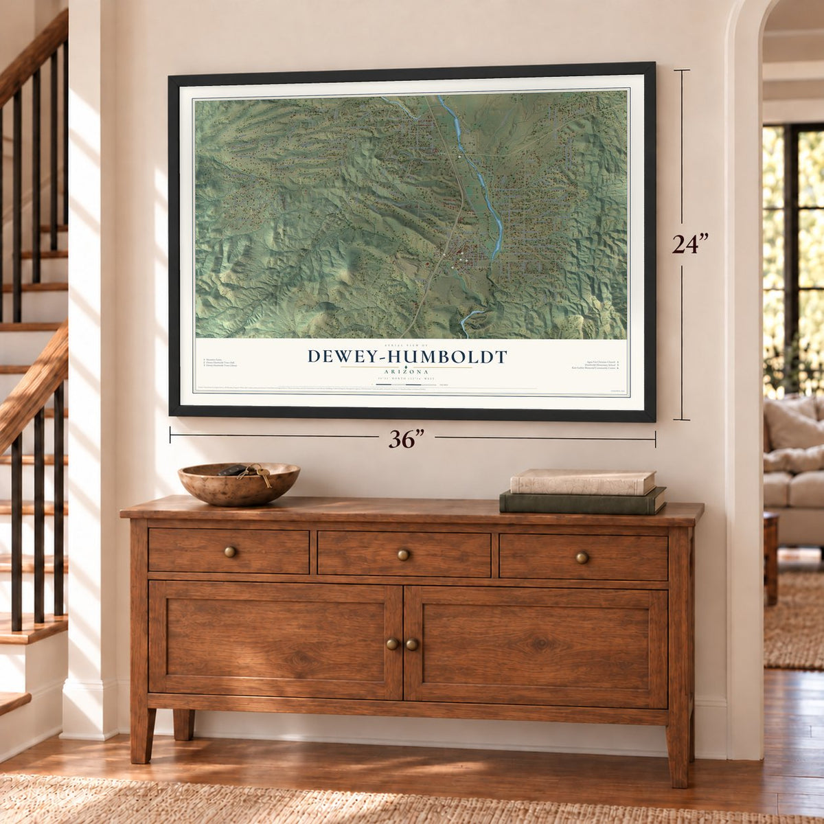
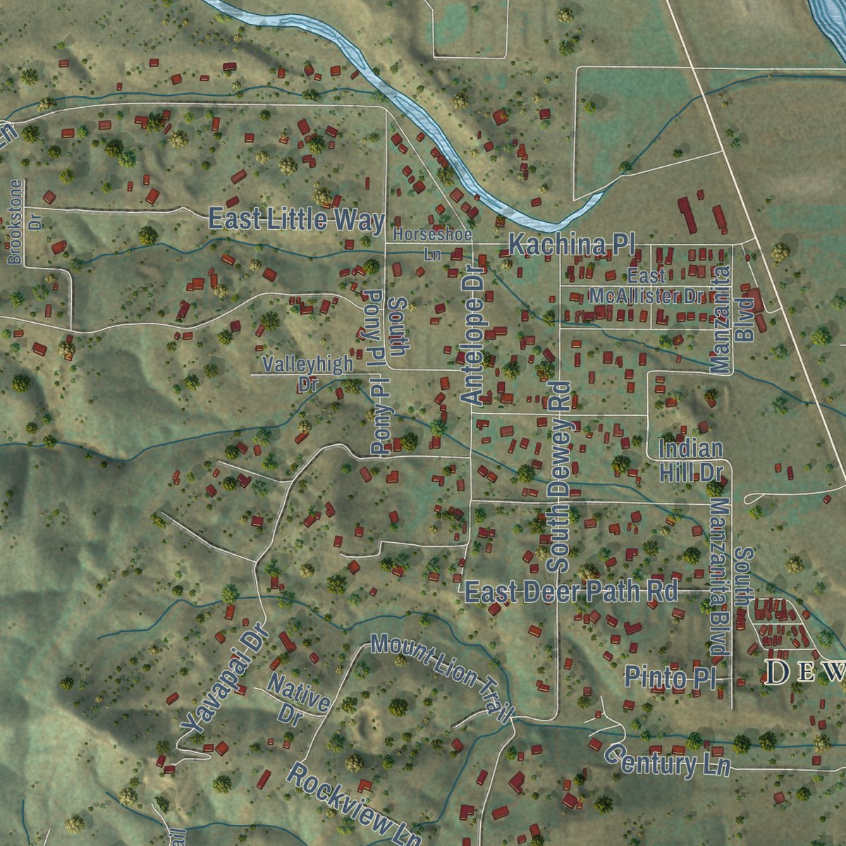
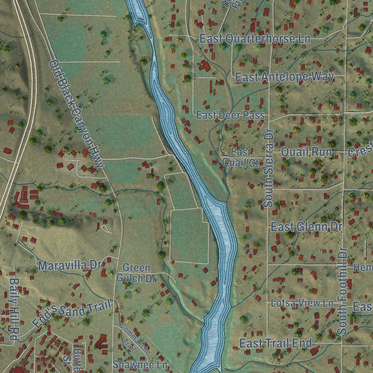
Explore Dewey-Humboldt, Arizona from a whole new perspective. Created using aerial imagery and detailed geographic data, this map captures Dewey-Humboldt building by building, with labeled streets, familiar landmarks, and shaded topographical relief that highlights the natural contours of the landscape.
Combining modern data with the timeless character of a vintage atlas, this map is just as interesting up close as it is beautiful on the wall. Whether you grew up in Dewey-Humboldt, spent memorable years there, or call it home today, this unique map is a great way to celebrate a place that means something to you. Zoom in on the preview to look for your street, and then order a print to put your memories on the wall.

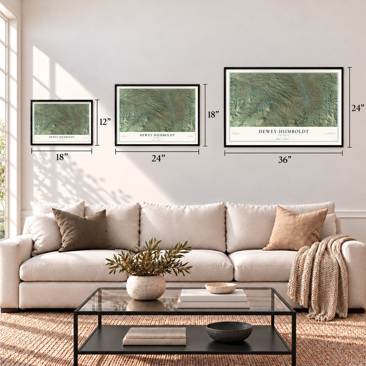
Three ways to hang it
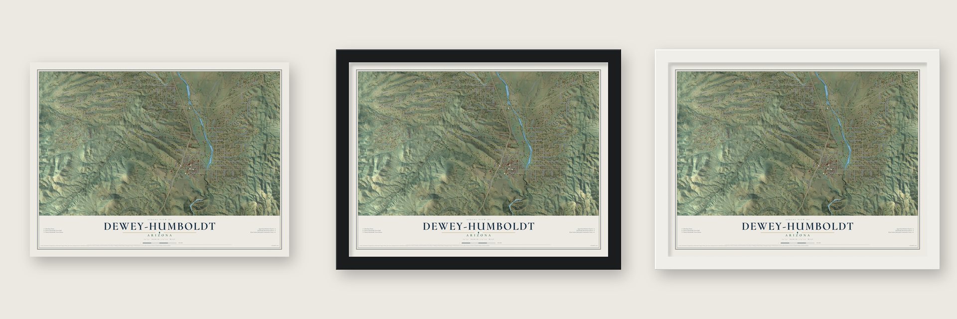
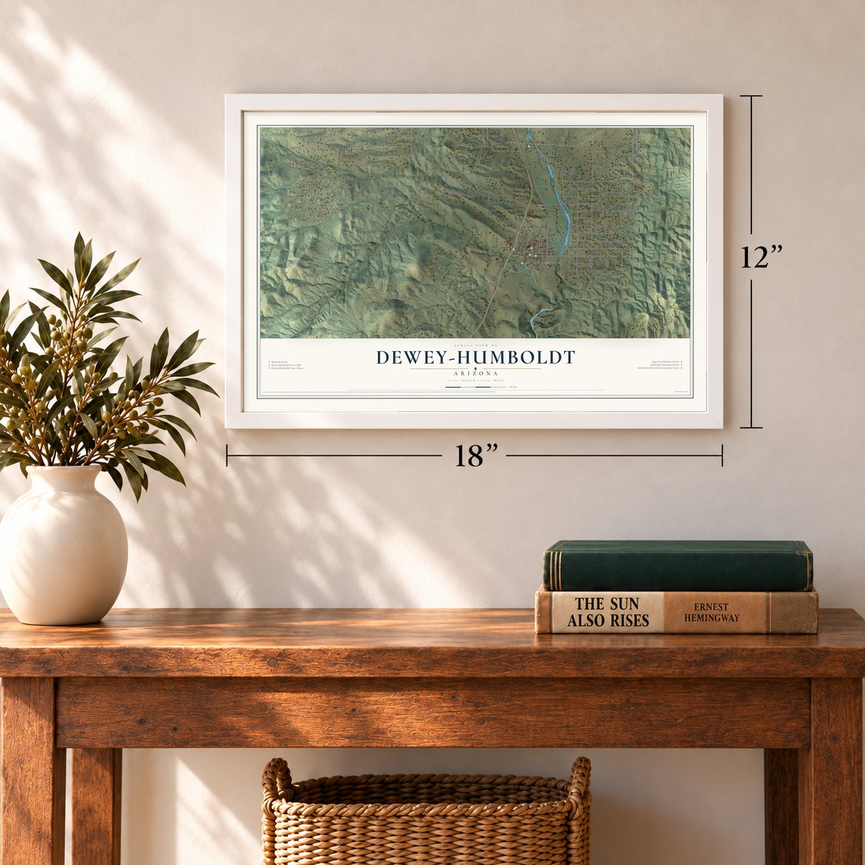
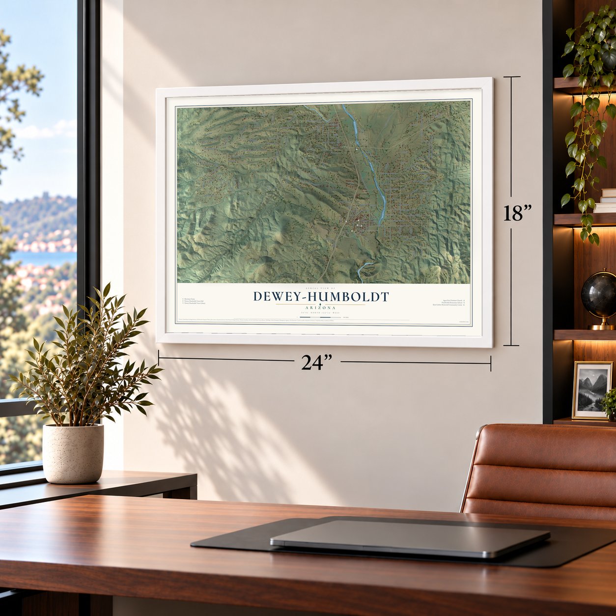
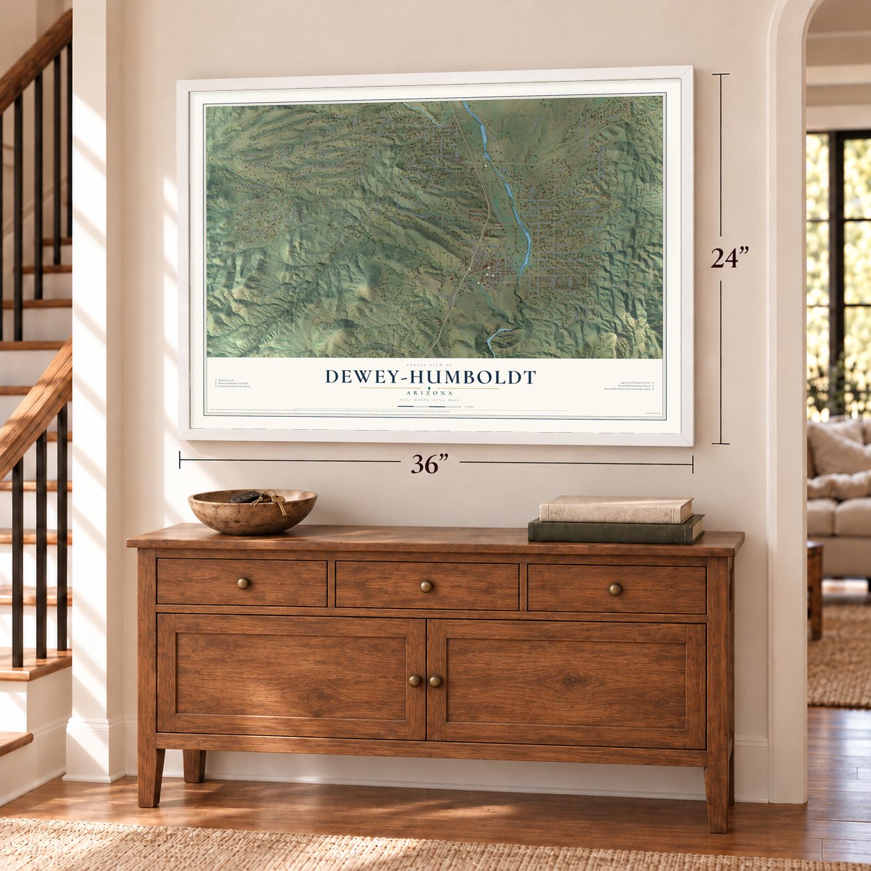
Unframed archival matte, a black wood frame or a white wood frame.
Up close
Geography Worth Displaying
This map was created using accurate cartographic data and authoritative geographic sources, including the U.S. Geological Survey (USGS) and FEMA. The map brings together terrain, waterways, roads, and building detail. The majority of the streets are labeled, houses are accurately depicted, and the topography is derived from government sources. Combining local data with carefully composed color and shading leads to this beautifully detailed Dewey-Humboldt artwork for your wall.
Rather than simply showing street outlines, we’ve included as many of the street names as we could reasonably fit on the map while keeping their names legible. Zoom in on the high resolution preview to see exactly what’s on the map. We truly set out to create a statement piece for anyone who loves Dewey-Humboldt. So whether it’s for you, or a gift for someone you love, we hope this map of Dewey-Humboldt brings back fond memories.
Explore the full map of Dewey-Humboldt, Arizona and read about the local places it shows.
Find your street
Names on the Dewey-Humboldt map
Every name below is printed on this map. Look for your street, your school, the park where you played, or the pond down the road.
Places and landmarks3
- Blue Hills Farms
- Humboldt
- Dewey
Streets and roads154
- East Shirley Lane
- East Rocky Hill Road
- South Piute Road
- Iron King Road
- Third Street
- Kachina Place
- Rancho Place
- Century Lane
- East Prescott Dells Ranch Road
- Hideaway Drive
- South Dewey Road
- East Ridge Way
- East Cranberry Road
- Yavapai Drive
- South River Drive
- East Bradshaw Road
- Antelope Drive
- Old Black Canyon Highway
- East Henderson Road
- South Foothill Drive
- Lazy River Drive
- North Outback Road
- East White Drive
- East Meadow Road
- South Hopi Trail
- East Newtown Avenue
- South Sierra Drive
- Green Valley Way
- East Smoki Trail
- Apache Knolls Trail
Show all 154 streets
- East Chestnut Hill Avenue
- Beverly Hills Drive
- Main Street
- Prescott Street
- East Wolf Road
- Blue Ridge Road
- South Wind River Drive
- East Wagon Wheel Drive
- East Lotsa View Lane
- East Deer Path Road
- East Janet Way
- Powerline Road
- East Quarterhorse Lane
- East Hopi Trail
- East Little Way
- East Eagle Drive
- East Earle Way
- South Tomahawk Trail
- East Marilyn Lane
- Agin Ranch Road
- East Avalon Drive
- Orange Rock Road
- Maravilla Drive
- Edd's Sand Trail
- East Antelope Way
- Grant Drive
- Tiffany Lane
- South Lovin Lane
- East Trail End
- South Glendun Place
- Rockview Lane
- Jones
- Huron Street
- Ghost Mine Trail
- Shipman Lane
- Laipple Lane
- Medina Lane
- East Nancy Lane
- McCabe Street
- Dana Street
- Holiday Drive
- Baily Hill Road
- Quail Run
- East Glenn Drive
- Pagosa Way
- Hill Street
- Hyslip's Lane
- Rudy's Trail
- Leona Lane
- Wells Street
- Parker Street
- Crest Circle
- Pinto Place
- Martha Way
- Prescott Dells Ranch Road
- Hecla Street
- East Crystal Rock Road
- Indian Hill Drive
- Butte Street
- South Beetlebug Pass
- Stumps Road
- East Tanya Boulevard
- East Blue Ridge Road
- Agua Fria Lane
- East Deer Pass
- Henderson Road
- East Tonto Drive
- South Pony Place
- South Manzanita Boulevard
- Mariposa Hill Road
- Cody Ridge Lane
- South Gone Fishing Road
- East Mustang Drive
- Richards Lane
- South Clearview Drive
- Charles Way
- East Kathy Lane
- Mount Lion Trail
- Mingus Mountain Lane
- Sleepy Acres Lane
- Lotsa View Lane
- East Sweet Jasmine Lane
- Green Gulch Drive
- Manzanita Boulevard
- Shawnee Lane
- Acoma Trail
- East Peanut Drive
- East June Lane
- Brody Trail
- Sugar Leaf Lane
- East Quail Court
- Piute Road
- Tobiano Way
- Colina Lane
- Pony Place
- Native Drive
- Hope Trail
- South Latilla
- Knoll Circle
- South Pima Road
- Rocky Springs Trail
- Phoenix Street
- East Meadow Ranch Place
- East McAllister Drive
- Five Star Trail
- East Esther Lane
- Seminole Circle
- Kloss Avenue
- Cherry Siding Lane
- Valleyhigh Drive
- Mirage Road
- Dewey Court
- Brookstone Drive
- East Cielo Vista Lane
- Third Alley
- South Omega Road
- Commanche Trail
- South Hideaway Drive
- East McCabe Circle
- Rattlesnake Trail
- Azurite Street
- Horseshoe Lane
- Sweet Pea Lane
- Jones Street
Names are listed as they appear on the printed map. Zoom into the product photos to find them.
About Dewey-Humboldt, Arizona
Dewey-Humboldt is a town of 4,326 people in Yavapai County, 15 miles east of Prescott along the Agua Fria River. After gold was found on Lynx Creek in the spring of 1863, King Woolsey settled here that summer and started the Agua Fria Ranch to feed the miners. In 1875 a stage stop and post office named Agua Fria began serving travelers between Prescott and Phoenix.
The valley stayed remote until 1898, when the Prescott & Eastern Railroad was built along the river. A new post office that year took the name Dewey, probably for Admiral Dewey's win at Manila. The Val Verde smelter burned in 1902, and the Consolidated Arizona Smelting Company built a giant plant in its place. The Val Verde post office became Humboldt in 1905, named for Baron Alexander von Humboldt, and by 1907 the town had 1,000 people. The two communities became one town on December 20, 2004.
- Woolsey's stone ranch houseKing Woolsey built his ranch house from the stones of a prehistoric ruin and dug ditches from the Agua Fria to water his fields. In 1864 he brought some of the first cattle into the new Yavapai County. At the river's falls he put up two mills, one to crush quartz and a smaller one, turned by the water, to grind grain. The Woolsey Ranchhouse Ruins are on the National Register.
- Bankrupted by the Apache warsWoolsey's expeditions against the Apache in 1864 cost him so much that they left him bankrupt. He had to give up the ranch, and its new owners, the Bowers brothers, went on growing corn and barley there.
- A parade since 1907With two trains a day, Humboldt's business boomed, and in 1907 the town showed off its growth with a Labor Day celebration and a parade down Main Street. The parade came back every year after that. The Agua Fria Chamber of Commerce now puts it on, on the last Saturday in September.
- The Iron King MineOver-promotion and the Panic of 1907 closed the nearby Iron King Mine for a while. It reopened in World War I, shut in the slump after it and recovered by the mid-1920s. Then the 1929 crash closed the mines and smelter, and Humboldt was down to 300 people by 1930.
- Pumpkins since 1946In 1946 part of Woolsey's old ranch land became Young's Farm, a family business selling turkeys and pumpkins. Its hay rides, pumpkin patches, country restaurant and October Pumpkin Fest drew visitors from across Arizona. Efforts to save it failed, and in late 2006 the farm went to developers and shut its doors. In April 2011 Mortimer Family Farms bought the land and went back to selling sweet corn in summer and pumpkins in fall.
Keep exploring Arizona
Dewey-Humboldt is one of 528 Arizona towns we've mapped. Every dot on the map is a print of its own.
The search covers every state, Arizona first.
Near Dewey-Humboldt
Order 2 or more town maps and save 10%. Shown in the size and finish you picked above, so they hang as a set.
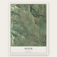
- Mayer 12" x 18" / Archival Matte Print $39.99
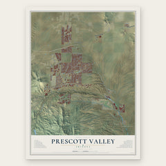
- Prescott Valley 12" x 18" / Archival Matte Print $39.99
- Yavapai-Prescott Indian Tribe 12" x 18" / Archival Matte Print $39.99

More maps nearby: Prescott, Spring Valley, Cordes Lakes, Chino Valley and Jerome.
The art of mapping a place
How This Map Was Made
Real places. Remarkable detail. Discover the layers that turn geographic data into a map of home.

The view from above
Aerial imagery reveals the character of the land: woodland, open fields, and the patterns of a place.

The shape of the land
Elevation data brings hills, valleys, and subtle changes in the landscape into view.

The details of home
Roads, waterways, and building footprints come together to make the map feel unmistakably local.

Geography becomes art
Considered color, shading, and typography bring the layers together in a map made for your wall.


Process illustrated with Mendon, Massachusetts. Aerial imagery: USDA NAIP. Terrain: USGS 3D Elevation Program. Map details and finished artwork: KNOWOL.
The Details
About This Print
Choose an archival matte print, or a black or white Ayous wood frame. The archival matte print is unframed.
Select your size and finish above to see the matching product image and price.
Materials & Craftsmanship
A contemporary map with the character of a classic atlas, printed on archival matte paper. Optional frames are made from Ayous wood.
Your printed map does not include the watermark shown in the full-map preview.
Shipping & Delivery
Free shipping within the United States. Every print is made to order in the USA.
Buying a gift? Add a note in your cart and we'll include it. We never put prices in the package.
Prints ship within 2 to 3 business days. Allow 7 to 10 days total from ordering for delivery. Timing may vary during holidays or periods of high order volume.
Read our shipping policy.
Returns and damaged prints
Each print is made to order. Change-of-mind refunds are not available after production.
If your print arrives damaged, misprinted or incorrect, contact support@knowol.com within 30 days of receiving it. Include your order number, photos and a description of the issue.
Read our full refund and replacement policy. For questions about your order, email support@knowol.com.