
Search for another town





Free U.S. delivery 7 to 10 days after you order
Prescott, Arizona Map Art
A new map of Prescott, Arizona, made in 2026 and printed to order on thick archival matte paper.
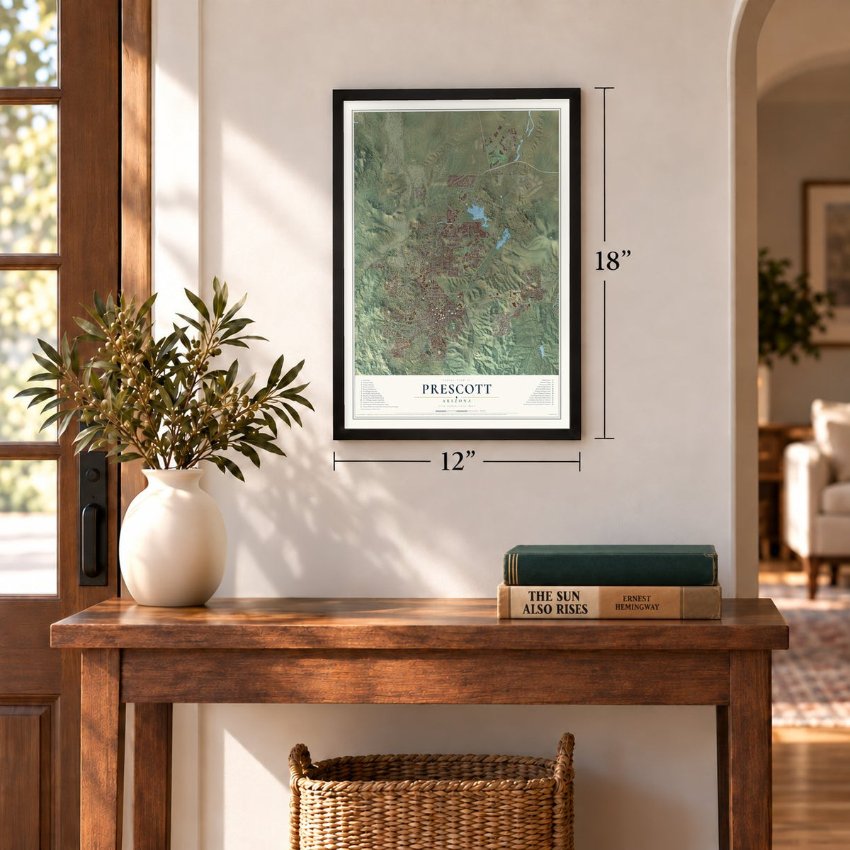
12" x 18" Archival Matte Print
A Map of Home. A Work of Art.
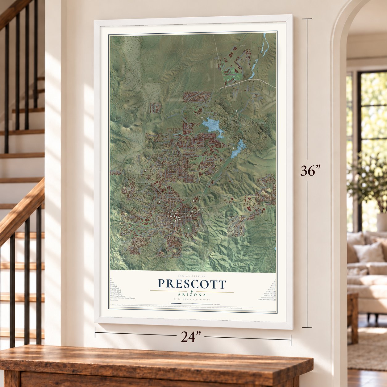
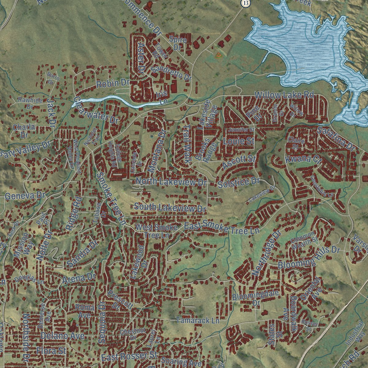
Explore Prescott, Arizona from a whole new perspective. Created using aerial imagery and detailed geographic data, this map captures Prescott building by building, with labeled streets, familiar landmarks, and shaded topographical relief that highlights the natural contours of the landscape.
Combining modern data with the timeless character of a vintage atlas, this map is just as interesting up close as it is beautiful on the wall. Whether you grew up in Prescott, spent memorable years there, or call it home today, this unique map is a great way to celebrate a place that means something to you. Zoom in on the preview to look for your street, and then order a print to put your memories on the wall.

Three ways to hang it
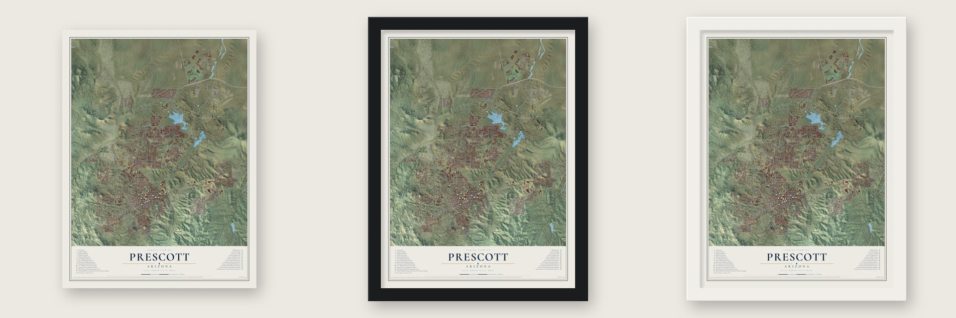
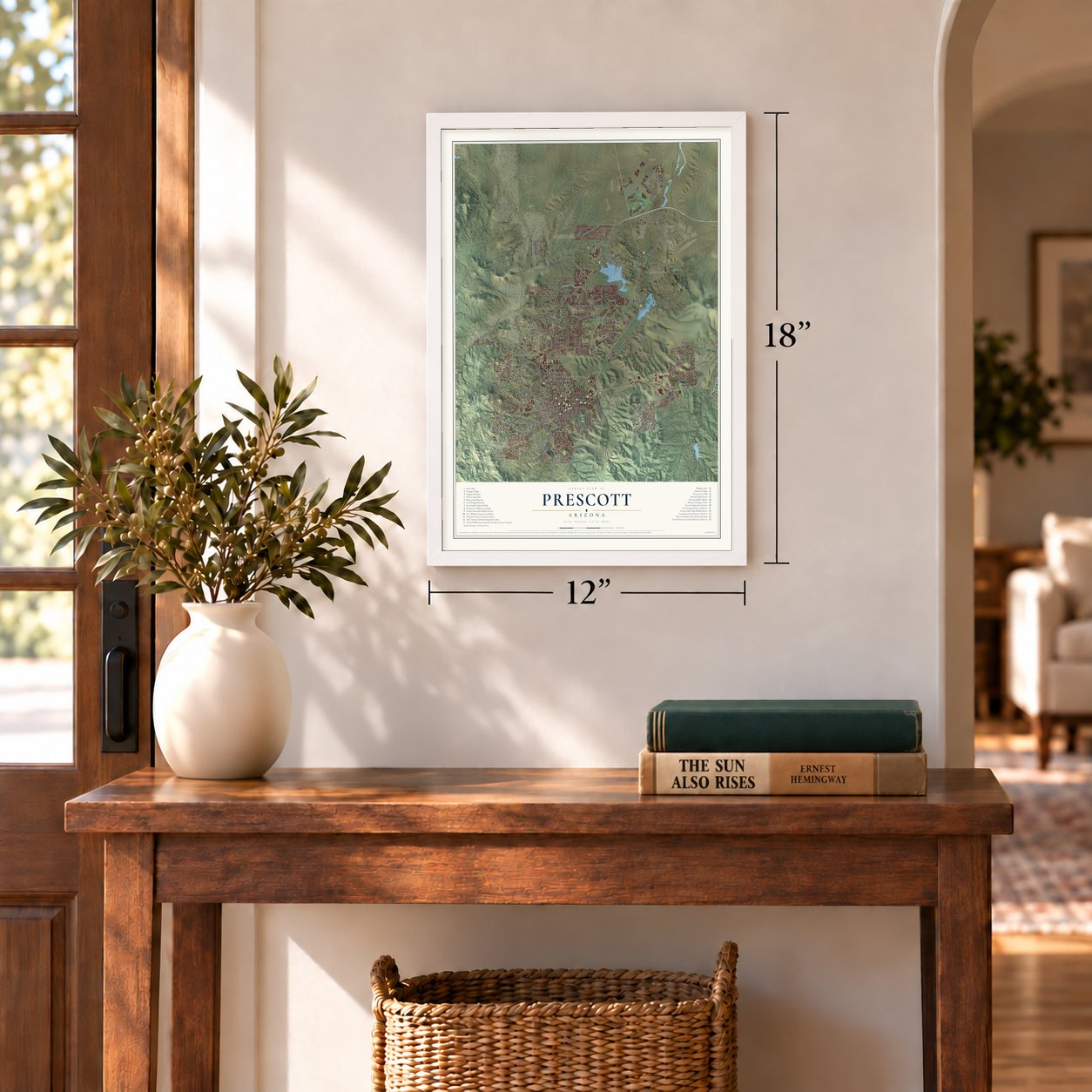
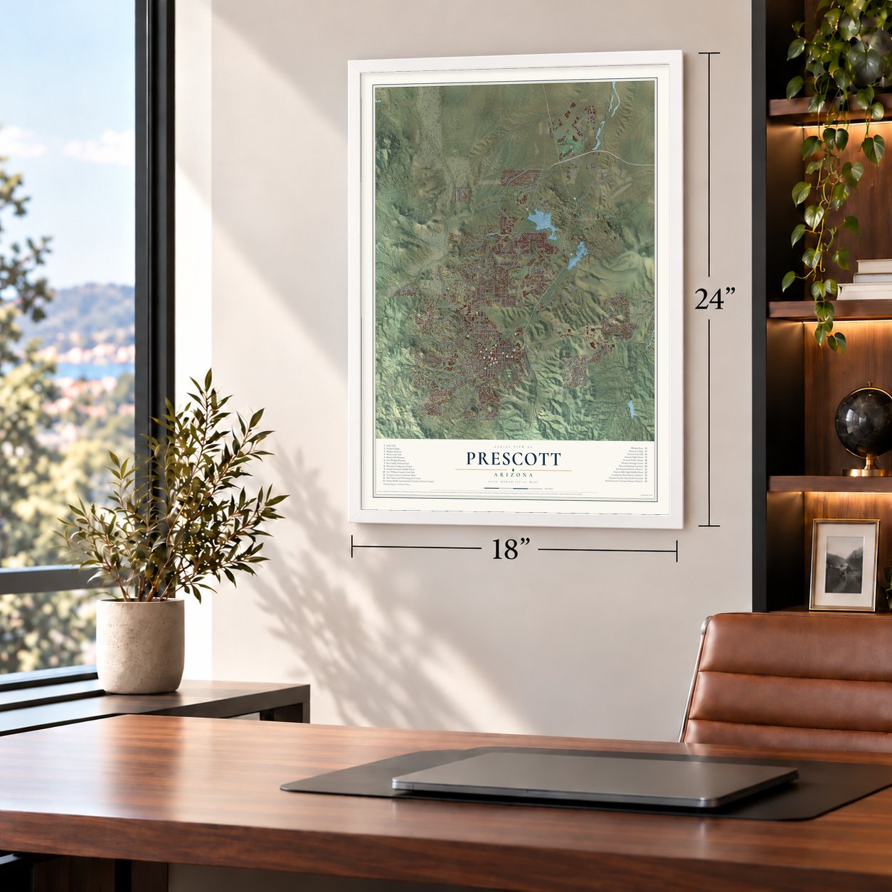
Unframed archival matte, a black wood frame or a white wood frame.
Up close
Geography Worth Displaying
This map was created using accurate cartographic data and authoritative geographic sources, including the U.S. Geological Survey (USGS) and FEMA. The map brings together terrain, waterways, roads, and building detail. The majority of the streets are labeled, houses are accurately depicted, and the topography is derived from government sources. Combining local data with carefully composed color and shading leads to this beautifully detailed Prescott artwork for your wall.
Rather than simply showing street outlines, we’ve included as many of the street names as we could reasonably fit on the map while keeping their names legible. Zoom in on the high resolution preview to see exactly what’s on the map. We truly set out to create a statement piece for anyone who loves Prescott. So whether it’s for you, or a gift for someone you love, we hope this map of Prescott brings back fond memories.
Explore the full map of Prescott, Arizona and read about the local places it shows.

About Prescott, Arizona
Prescott is a city of 45,827 people and the county seat of Yavapai County, on high ground north of the Bradshaw Mountains, 5,400 feet above sea level. The Yavapai lived here first. In 1863 Joseph Walker's party struck gold on Hassayampa Creek, south of today's city, and that December the Army founded Fort Whipple at Del Rio Springs, near present-day Chino Valley. The next May the fort moved south to Granite Creek, where miners were camped in tents, and Governor John Noble Goodwin picked a site nearby for the territorial capital.
Settlers gathered on May 30, 1864, and chose to honor William H. Prescott, a historian admired by territorial secretary Richard McCormick. Robert W. Groom surveyed the townsite, an auction on June 4 sold the first 73 lots, and by July 4 buyers had taken 232. Prescott lost the capital to Tucson in 1867 and regained it in 1877. The town was incorporated in 1881, and on February 4, 1889, the capital went to Phoenix for good.
- The Great Fire of 1900On July 14, 1900, fire burned five city blocks, including most of Whiskey Row, where more than 40 saloons had lined Montezuma Street. Customers dragged the Palace saloon's hand-carved Brunswick bar out of the flames and across the street. Built in New Jersey, the bar had been shipped around South America to San Francisco, then carried the rest of the way by pack mule. The Palace, opened in 1877, reopened in 1901, and downtown was rebuilt in brick.
- A rodeo since 1888Prescott has held its rodeo every year since 1888 and calls it the World's Oldest Rodeo. The city says it was the first rodeo to charge admission, and it now draws some 35,000 visitors a year. In 1989 Governor Rose Mofford gave Prescott another title, Arizona's Christmas City.
- A granite courthouseItalian stonemasons cut the granite for the Yavapai County Courthouse at the center of the plaza. Work started with the cornerstone in October 1916, and the building, designed by William N. Bowman in the Neoclassical Revival style, was finished in 1918.
- A reservation in 1935The Yavapai had no reservation until 1935, when they received 75 acres that had once belonged to Fort Whipple. Viola Jimulla had worked alongside Sam, her husband, urging local and national officials to grant that land. After Sam's death in 1940 she led the Prescott Yavapai as chief, and the tribal council was formed under her leadership. Another 1,320 acres were added in 1956, and she served until her death in 1966.
- A museum in the mansionSharlot Hall, a poet and historian, was the first woman to hold an office in Arizona's territorial government. In 1928 she opened a museum of her collection inside the cabin built in 1864 as the territory's Governor's Mansion. That building is on the National Register as the Old Governor's Mansion.
Find your street
Names on the Prescott map
Every name below is printed on this map. Look for your street, your school, the park where you played, or the pond down the road.
Streets and roads42
- W Oso Rd
- Renegade Rd
- W Bridle Ln
- W Chipmunk Rd
- Live Oak Dr
- Granite Oaks Dr
- W Oneal Rd
- W Kelly Dr
- Buchanan Dr
- Starling St
- S Clubhouse
- Caldwell Cr
- Currus Dr
- Lear Ln
- Side Rd
- Shoshone Dr
- Geneva Dr
- Angus Dr
- Rose Rd
- Bailey Ave
- N Granite Ave
- Country Park Dr
- Basin Rd
- Dells Ranch Rd
- E Granite Dells Rd
- Iron Rock Pl
- Commence Dr
- Woodside Dr
- Pine Lakes Dr
- Vale Ln
Show all 42 streets
- Quartz Way
- Rockwood Dr
- Oregon Ave
- Middlebrook Rd
- Lee Cir
- Sundog Ranch Rd
- Lee Blvd
- Senator Hwy
- Robin Dr
- Old Black Canyon Hwy
- E FS Rd 611
- Galaxy Ln
Names are listed as they appear on the printed map. Zoom into the product photos to find them.
The art of mapping a place
How This Map Was Made
Real places. Remarkable detail. Discover the layers that turn geographic data into a map of home.

The view from above
Aerial imagery reveals the character of the land: woodland, open fields, and the patterns of a place.

The shape of the land
Elevation data brings hills, valleys, and subtle changes in the landscape into view.

The details of home
Roads, waterways, and building footprints come together to make the map feel unmistakably local.

Geography becomes art
Considered color, shading, and typography bring the layers together in a map made for your wall.


Process illustrated with Mendon, Massachusetts. Aerial imagery: USDA NAIP. Terrain: USGS 3D Elevation Program. Map details and finished artwork: KNOWOL.
The Details
About This Print
Choose an archival matte print, or a black or white Ayous wood frame. The archival matte print is unframed.
Select your size and finish above to see the matching product image and price.
Materials & Craftsmanship
A contemporary map with the character of a classic atlas, printed on archival matte paper. Optional frames are made from Ayous wood.
Your printed map does not include the watermark shown in the full-map preview.
Shipping & Delivery
Free shipping within the United States. Every print is made to order in the USA.
Buying a gift? Add a note in your cart and we'll include it. We never put prices in the package.
Prints ship within 2 to 3 business days. Allow 7 to 10 days total from ordering for delivery. Timing may vary during holidays or periods of high order volume.
Read our shipping policy.
Returns and damaged prints
Each print is made to order. Change-of-mind refunds are not available after production.
If your print arrives damaged, misprinted or incorrect, contact support@knowol.com within 30 days of receiving it. Include your order number, photos and a description of the issue.
Read our full refund and replacement policy. For questions about your order, email support@knowol.com.
Find your town
Looking for another city?
Find a map of home in our Arizona collection, or any town in the country.
Nearby
Maps of towns near Prescott
Know someone from one of these towns? Their map makes a great gift.
 Yavapai-Prescott Indian Tribe
, Arizona
From $39.99See the map
 Prescott Valley
, Arizona
From $39.99See the map
 Williamson
, Arizona
From $39.99See the map
More maps nearby: Chino Valley, Dewey-Humboldt, Wilhoit, Mayer and Paulden.