
Search for another town





Free U.S. delivery 7 to 10 days after you order
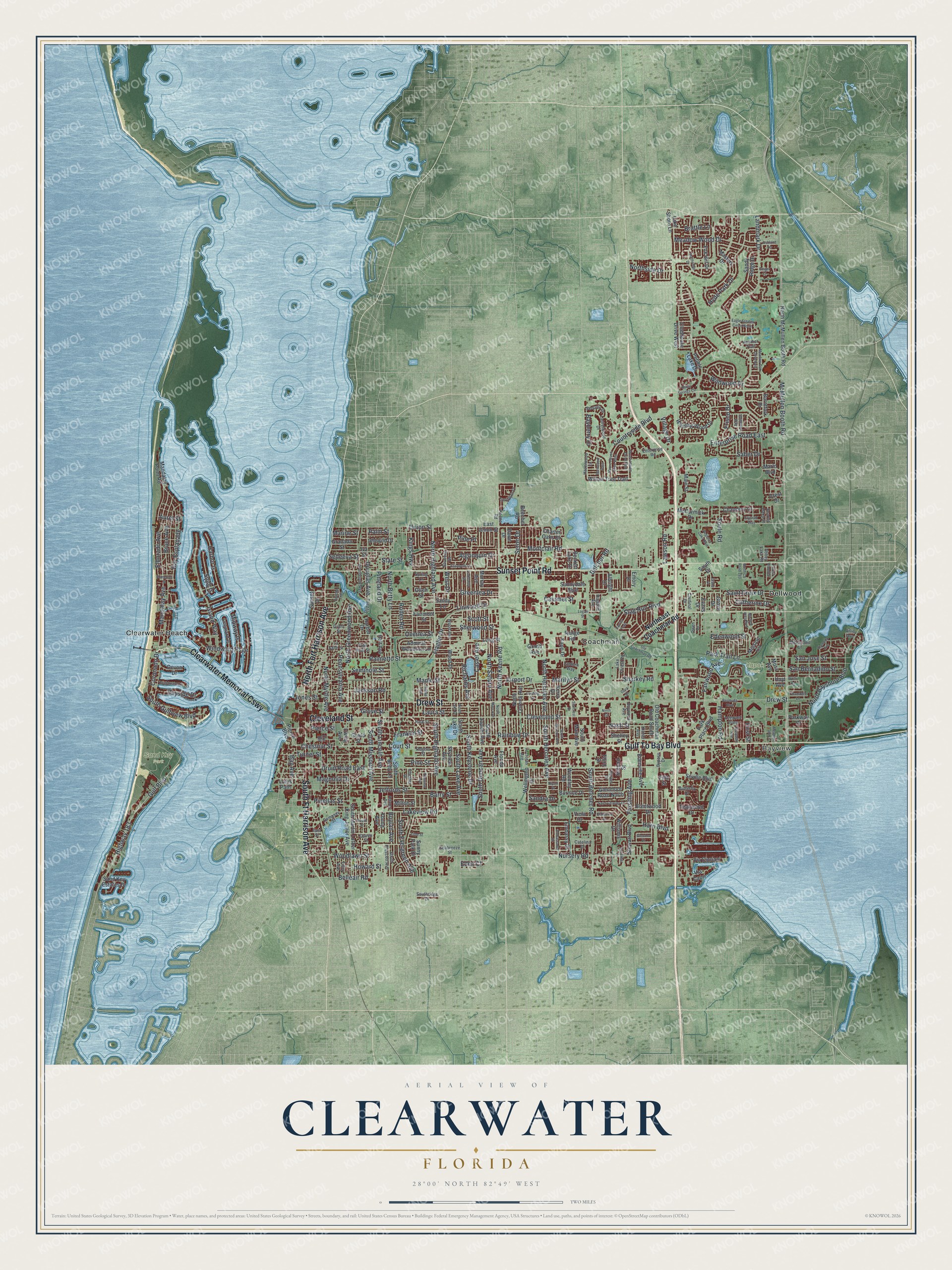
Clearwater, Florida Map Art
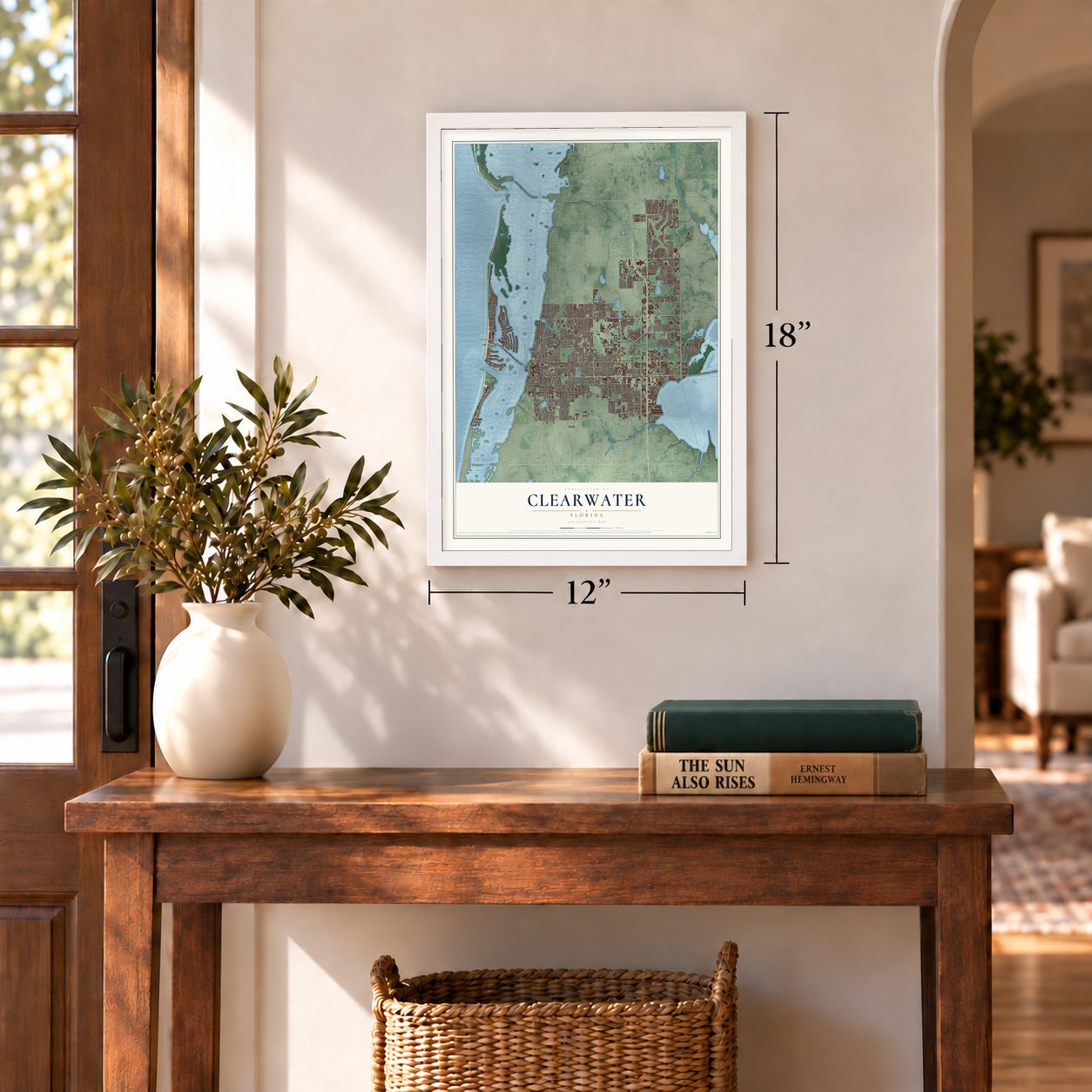
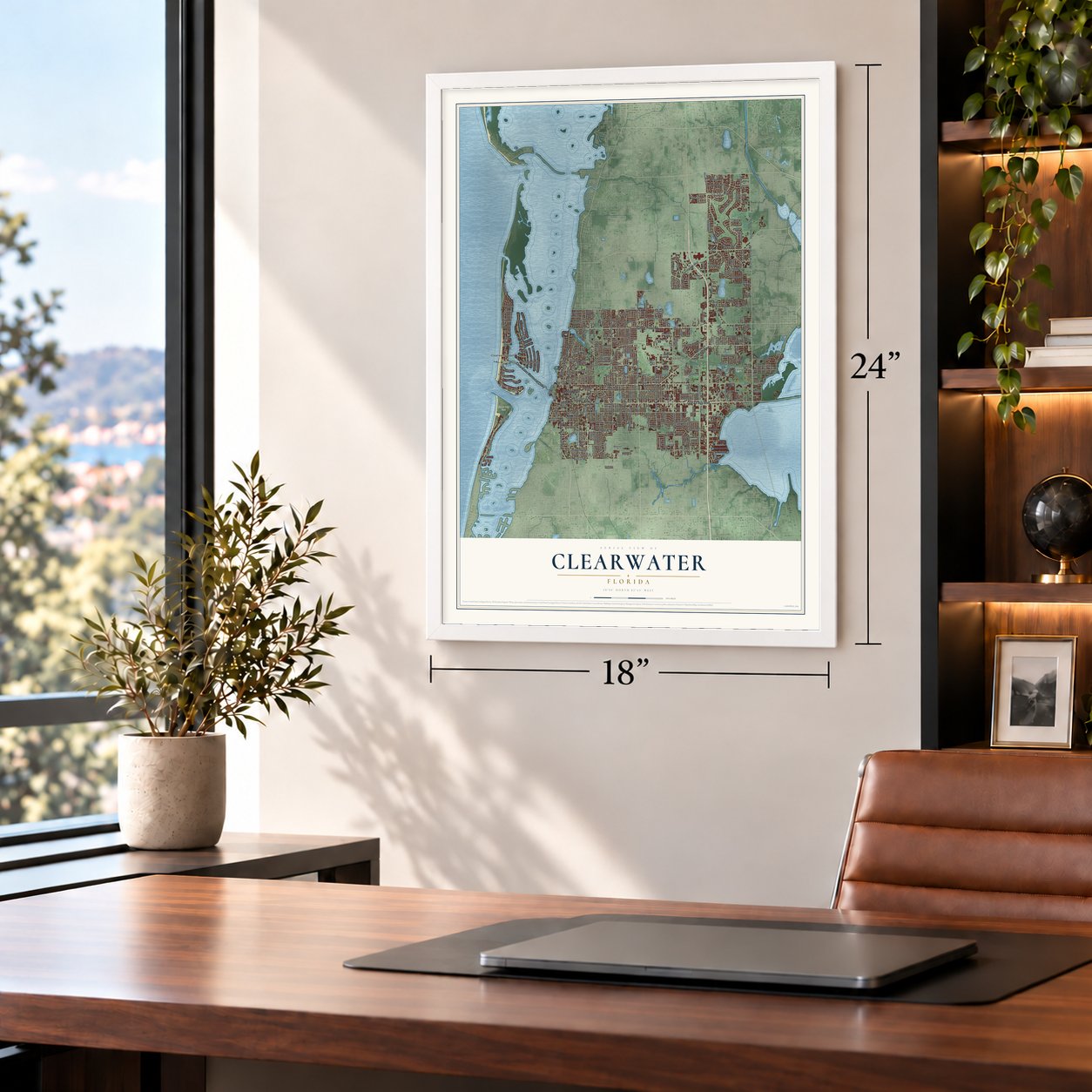
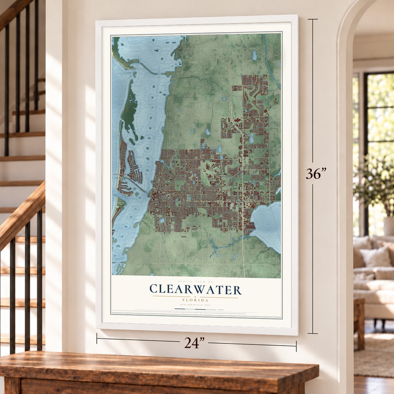
A new map of Clearwater, Florida, made in 2026 and printed to order on thick archival matte paper.
12" x 18" Archival Matte Print
A Map of Home. A Work of Art.
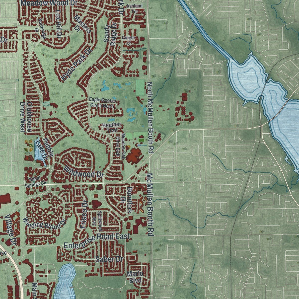
Explore Clearwater, Florida from a whole new perspective. Created using aerial imagery and detailed geographic data, this map captures Clearwater building by building, with labeled streets, familiar landmarks, and shaded topographical relief that highlights the natural contours of the landscape.
Combining modern data with the timeless character of a vintage atlas, this map is just as interesting up close as it is beautiful on the wall. Whether you grew up in Clearwater, spent memorable years there, or call it home today, this unique map is a great way to celebrate a place that means something to you. Zoom in on the preview to look for your street, and then order a print to put your memories on the wall.
Three ways to hang it
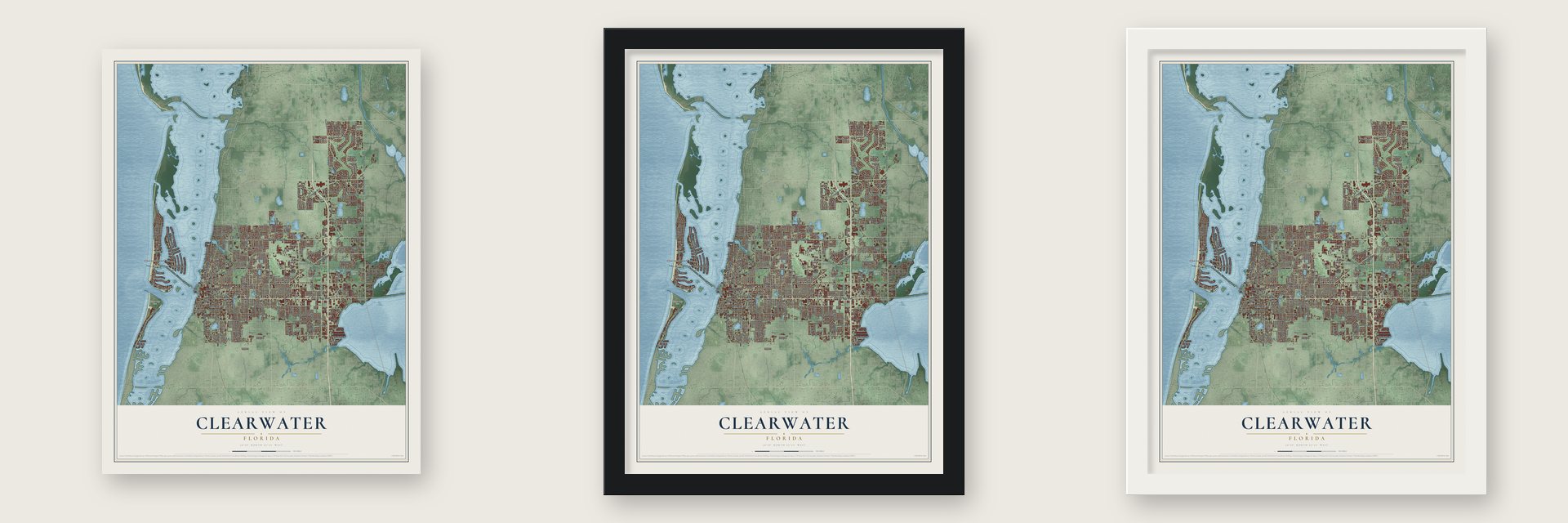
Unframed archival matte, a black wood frame or a white wood frame.
Up close
Geography Worth Displaying
This map was created using accurate cartographic data and authoritative geographic sources, including the U.S. Geological Survey (USGS) and FEMA. The map brings together terrain, waterways, roads, and building detail. The majority of the streets are labeled, houses are accurately depicted, and the topography is derived from government sources. Combining local data with carefully composed color and shading leads to this beautifully detailed Clearwater artwork for your wall.
Rather than simply showing street outlines, we’ve included as many of the street names as we could reasonably fit on the map while keeping their names legible. Zoom in on the high resolution preview to see exactly what’s on the map. We truly set out to create a statement piece for anyone who loves Clearwater. So whether it’s for you, or a gift for someone you love, we hope this map of Clearwater brings back fond memories.
Explore the full map of Clearwater, Florida and read about the local places it shows.

About Clearwater, Florida
The 2020 census counted 117,292 people in Clearwater, a city in Pinellas County.
- 117,292 peopleRecorded for Clearwater in the 2020 census.
- Pinellas CountyClearwater belongs to Pinellas County in Florida.
- 39.2 square milesClearwater covers a total area of 39.2 square miles.
- Incorporated in 1891Clearwater was incorporated in 1891.
Find your street
Names on the Clearwater map
Every name below is printed on this map. Look for your street, your school, the park where you played, or the pond down the road.
Places and landmarks6
- Bayview
- Kapok Park
- Sand Key Park
- Clearwater Beach
- Coachman
- Dellwood
Streets and roads301
- Gulf To Bay Boulevard
- Clearwater Memorial Causeway
- Sunset Point Road
- Drew Street
- South Ft Harrison Avenue
- North Fort Harrison Avenue
- Cleveland Street
- Union Street
- Nursery Road
- Mandalay Avenue
- Eldorado Avenue
- Chestnut Street
- Druid Road East
- Landmark Drive
- Countryside Boulevard
- McMullen Booth Road
- Belcher Road
- Palmetto Street
- Jeffords Street
- Turner Street
- Gulf Boulevard
- Lakeview Road
- North Highland Avenue
- North Betty Lane
- Highway 183
- Magnolia Drive
- South Missouri Avenue
- First Street
- North Keene Road
- Bay Esplanade
Show all 301 streets
- Court Street
- South Highland Avenue
- Enterprise Road East
- North Hercules Avenue
- South Belcher Road
- Island Way
- Belleair Road
- South Hercules Avenue
- Rainbow Drive
- Kings Highway
- Pierce Street
- Grove Street
- South Evergreen Avenue
- South Lake Avenue
- North Greenwood Avenue
- Laura Street
- Montclair Road
- North Myrtle Avenue
- South Gulfview Boulevard
- Seminole Street
- South Duncan Avenue
- Hyde Park Drive
- Maple Street
- North Bayshore Boulevard
- Pine Street
- Harn Boulevard
- Flagler Drive
- North Saturn Avenue
- Franklin Street
- Calumet Street
- Meadow Wood Drive
- Douglas Avenue
- Bruce Avenue
- Woodlawn Street
- Pennsylvania Avenue
- Howard Street
- South Keystone Drive
- Stag Run Boulevard
- Barry Street
- Fairwood Avenue
- Pinellas Street
- Saint Croix Drive
- South Lincoln Avenue
- Greenlea Drive
- Bay Avenue
- Casler Avenue
- Sharkey Road
- Harbor Is
- San Bernadino Street
- Windward Psge
- Sherwood Street
- San Jose Street
- Northside Drive
- Frisco Drive
- Midway Is
- Jones Street
- Linwood Drive
- Seton Drive
- Algonquin Drive
- Soule Road
- Nash Street
- Catherine Drive
- Coronado Drive
- Airport Drive
- Bayside Drive
- Richards Avenue
- Wildwood Drive
- Overlea Street
- Jackson Road
- Hampton Road
- Bayberry Drive
- Saber Drive
- Snug Is
- Flushing Avenue
- Brattle Lane
- Sedeeva Street
- Marilyn Street
- Park Trail Lane
- Scott Street
- Lawson Road
- Edenwood Street
- Pineland Drive
- Rollen Road
- Boylan Avenue
- Village Drive
- Sandra Drive
- Marine Street
- Aurel Street
- State Street
- West Drive
- Palm Street
- Eden Court
- Pine Place
- Northeast Coachman Road
- Ewing Avenue
- Willow Tree Trail
- Teakwood Drive
- Pierce Boulevard
- North McMullen Booth Road
- South Betty Lane
- Second Street
- Fairmont Street
- Lotus Path
- Masters Drive
- South Martin Luther King Junior Avenue
- Winding Wood Drive
- Third Street
- Murray Avenue
- Brentwood Drive
- Wood Drive
- Burnice Drive
- Edenville Avenue
- Sandy Ridge Drive
- Sunset Drive
- Sandy Lane
- Long Street
- Seville Boulevard
- Park Place Boulevard
- Fifth Street
- Old Coachman Road South
- Leeward Is
- Harbor Drive
- Shelley Street
- Range Road
- Williams Drive
- Lake Shore Lane
- Young Avenue
- Moss Avenue
- Sunnydale Boulevard
- Fox Hill Drive
- Glenmoor Road North
- Wellington Drive
- Mandalay Point Road
- Granada Street
- Stewart Boulevard
- Chancery Lane
- Sand Key Estates Drive
- Admiral Woodson Lane
- McCormick Drive
- North Corona Avenue
- East Union Street
- Albright Drive
- South Drive
- South Main Avenue
- South Lake Drive
- South Jupiter Avenue
- Idlewild Drive
- Dawn Drive
- Embassy Drive
- Sunny Park Drive
- Via Cipriani
- Mission Circle
- Parkway Drive
- Clubhouse Drive West
- Pebble Lake Drive
- Hoyt Avenue
- Beckett Lake Drive
- Burntfork Drive
- Woodley Road
- Beecher Road
- Holt Avenue
- Devon Drive
- Marlo Boulevard
- Charter Oaks Drive
- Evans Drive
- Otten Street
- Gould Street
- Skyview Avenue
- Milton Street
- Kapp Drive
- Florida Avenue
- Kerry Drive
- Via Capri
- Main Street
- Emory Drive
- Grove Drive
- Crest Drive
- Viola Drive
- Grand Avenue
- Iva Street
- Hazelwood Lane
- Rogers Street
- Park Street
- Overbrook Avenue
- Enterprise Road
- Cxr RR
- Laurelwood Drive
- Palm Bluff Street
- Souvenir Drive
- La Salle Street
- Wood Avenue
- Seabreeze Street
- South Prescott Avenue
- Lantern Way
- Owen Drive
- Sequoia Drive
- Grant Street
- Lake Forest Road
- McFarland Drive
- Southridge Drive
- Bypass Drive
- Arcturas Avenue
- Tilley Avenue
- Cardinal Drive
- Bypass
- Dempsey Street
- Baywood Avenue
- Heather Trail
- Kilmer Avenue
- Leeward Isles
- Barber Drive
- Butterfly Drive
- Catalina Drive
- Adams Avenue
- Ragland Avenue
- Abbey Lake Road
- Chester Drive
- Keene Road
- Scarlet Oaks Street
- East Street
- Queen Street
- Spring Lane
- Arlie Avenue
- Moore Haven Drive East
- Old Coachman Road
- Sabal Springs Circle
- Northridge Drive
- Moore Haven Drive West
- Meadow Lark Lane
- Mission Hills Boulevard
- Alameda Avenue
- Regency Oaks Boulevard
- Harding Street
- Springrain Drive
- Lombardy Drive
- North Mars Avenue
- Apache Trail
- Saint Charles Drive
- Pineview Avenue
- South Mercury Avenue
- Claiborne Drive
- Ripon Drive
- Brightwater Drive
- Elizabeth Lane
- Ambassador Drive
- Eagle Estates Circle North
- Meadow Oak Drive East
- Farrier Trail
- Logan Street
- Splitwood Way
- Barkwood Pass
- Chamblee Lane
- Ashland Terrace
- Diane Drive
- Elizabeth Avenue
- Ninth Street
- South Street
- Somerset Street
- Hilltop Avenue
- Excaliber Drive
- Dora Drive
- Bermuda Boulevard
- North County Road 193
- Forest Wood Drive
- Elysium Way
- Glenann Drive
- Starcrest Drive
- North Lake Drive
- Lime Street
- Geiger Court
- Wolfe Road
Names are listed as they appear on the printed map. Zoom into the product photos to find them.
The art of mapping a place
How This Map Was Made
Real places. Remarkable detail. Discover the layers that turn geographic data into a map of home.

The view from above
Aerial imagery reveals the character of the land: woodland, open fields, and the patterns of a place.

The shape of the land
Elevation data brings hills, valleys, and subtle changes in the landscape into view.

The details of home
Roads, waterways, and building footprints come together to make the map feel unmistakably local.

Geography becomes art
Considered color, shading, and typography bring the layers together in a map made for your wall.


Process illustrated with Mendon, Massachusetts. Aerial imagery: USDA NAIP. Terrain: USGS 3D Elevation Program. Map details and finished artwork: KNOWOL.
The Details
About This Print
Choose an archival matte print, or a black or white Ayous wood frame. The archival matte print is unframed.
Select your size and finish above to see the matching product image and price.
Materials & Craftsmanship
A contemporary map with the character of a classic atlas, printed on archival matte paper. Optional frames are made from Ayous wood.
Your printed map does not include the watermark shown in the full-map preview.
Shipping & Delivery
Free shipping within the United States. Every print is made to order in the USA.
Buying a gift? Add a note in your cart and we'll include it. We never put prices in the package.
Prints ship within 2 to 3 business days. Allow 7 to 10 days total from ordering for delivery. Timing may vary during holidays or periods of high order volume.
Read our shipping policy.
Returns and damaged prints
Each print is made to order. Change-of-mind refunds are not available after production.
If your print arrives damaged, misprinted or incorrect, contact support@knowol.com within 30 days of receiving it. Include your order number, photos and a description of the issue.
Read our full refund and replacement policy. For questions about your order, email support@knowol.com.
Find your town
Looking for another city?
Find a map of home in our Florida collection, or any town in the country.
Nearby
Maps of towns near Clearwater
Know someone from one of these towns? Their map makes a great gift.
 Greenbriar
, Florida
From $39.99See the map
 Belleair
, Florida
From $39.99See the map
 Dunedin
, Florida
From $39.99See the map
More maps nearby: Safety Harbor, Largo, Belleair Bluffs, Belleair Beach and South Highpoint.