
Search for another town
Free U.S. delivery 7 to 10 days after you order
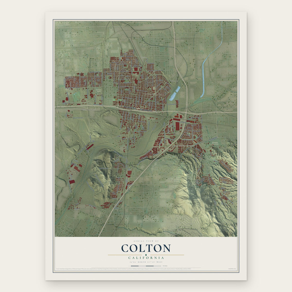
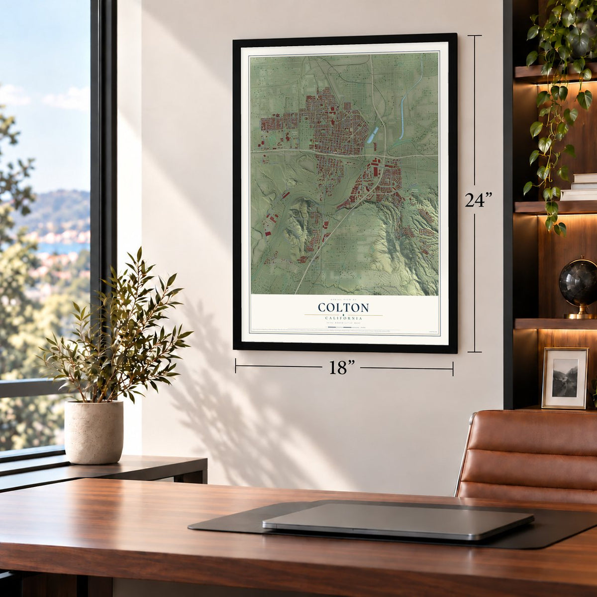
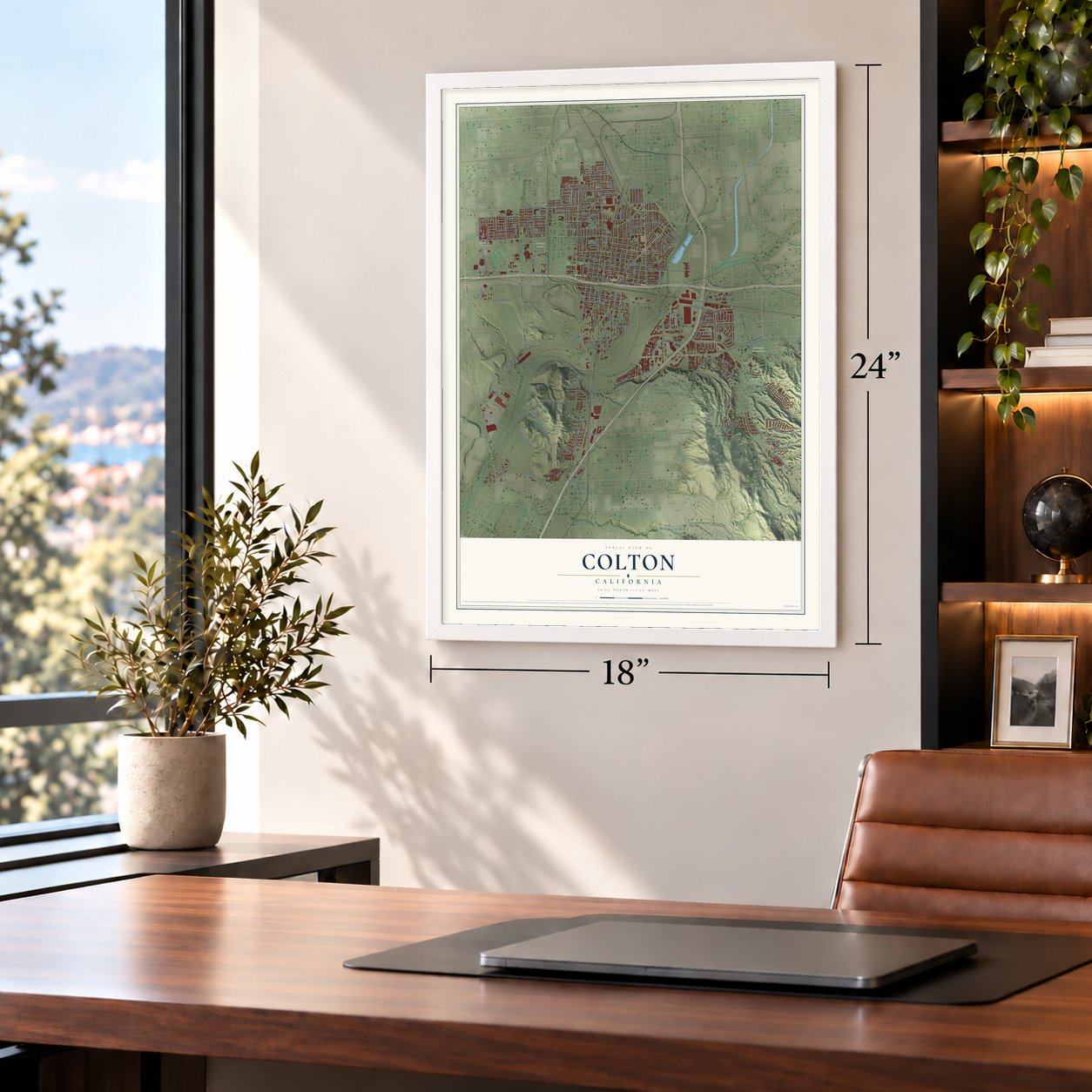
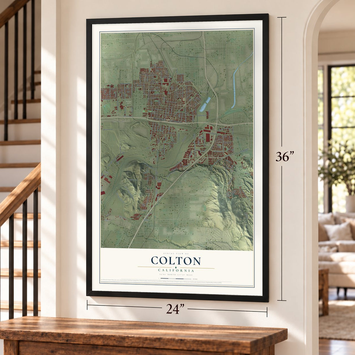
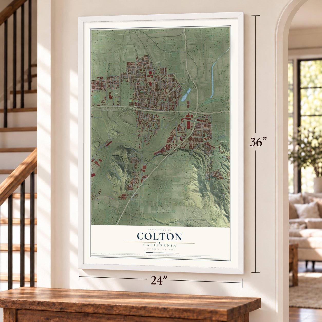
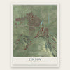
Colton, California Map Art
Building by building, with labeled streets and shaded relief.
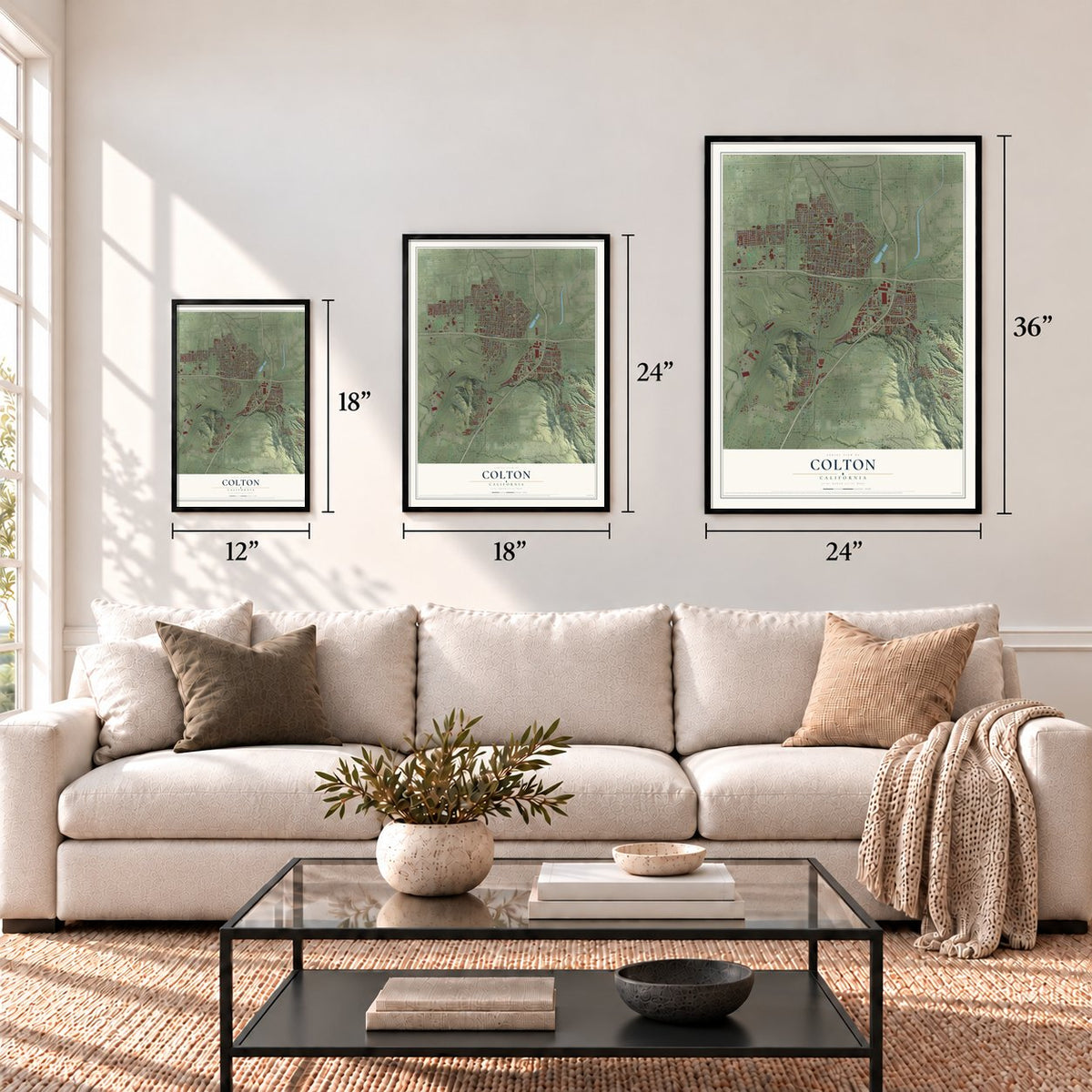
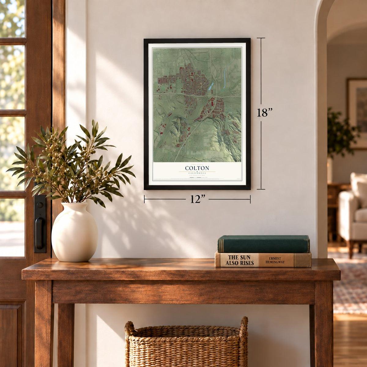
12" x 18" Archival Matte Print
A Map of Home. A Work of Art.
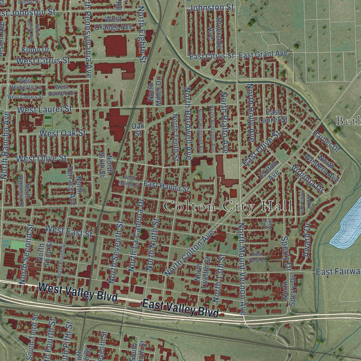
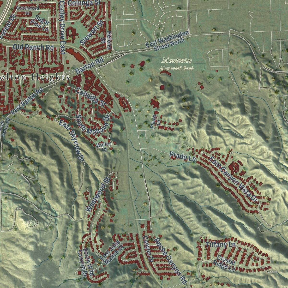
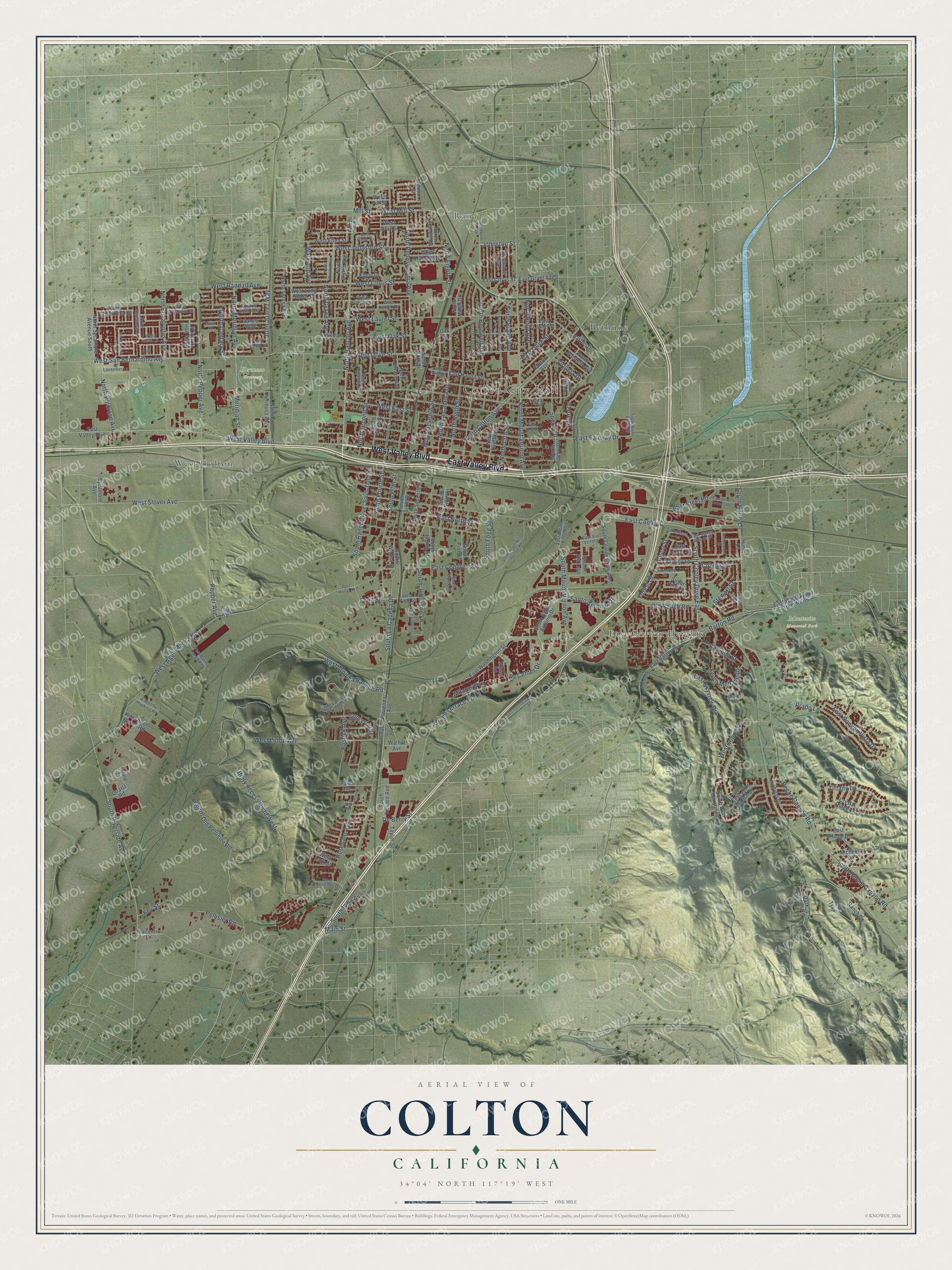
Explore Colton, California from a whole new perspective. Created using aerial imagery and detailed geographic data, this map captures Colton building by building, with labeled streets, familiar landmarks, and shaded topographical relief that highlights the natural contours of the landscape.
Combining modern data with the timeless character of a vintage atlas, this map is just as interesting up close as it is beautiful on the wall. Whether you grew up in Colton, spent memorable years there, or call it home today, this unique map is a great way to celebrate a place that means something to you. Zoom in on the preview to look for your street, and then order a print to put your memories on the wall.
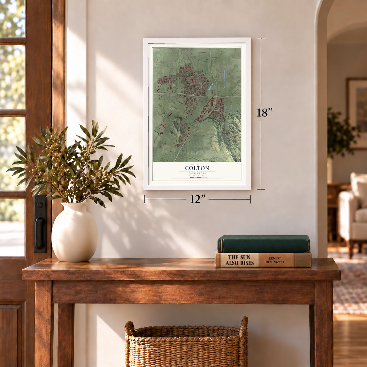
Three ways to hang it
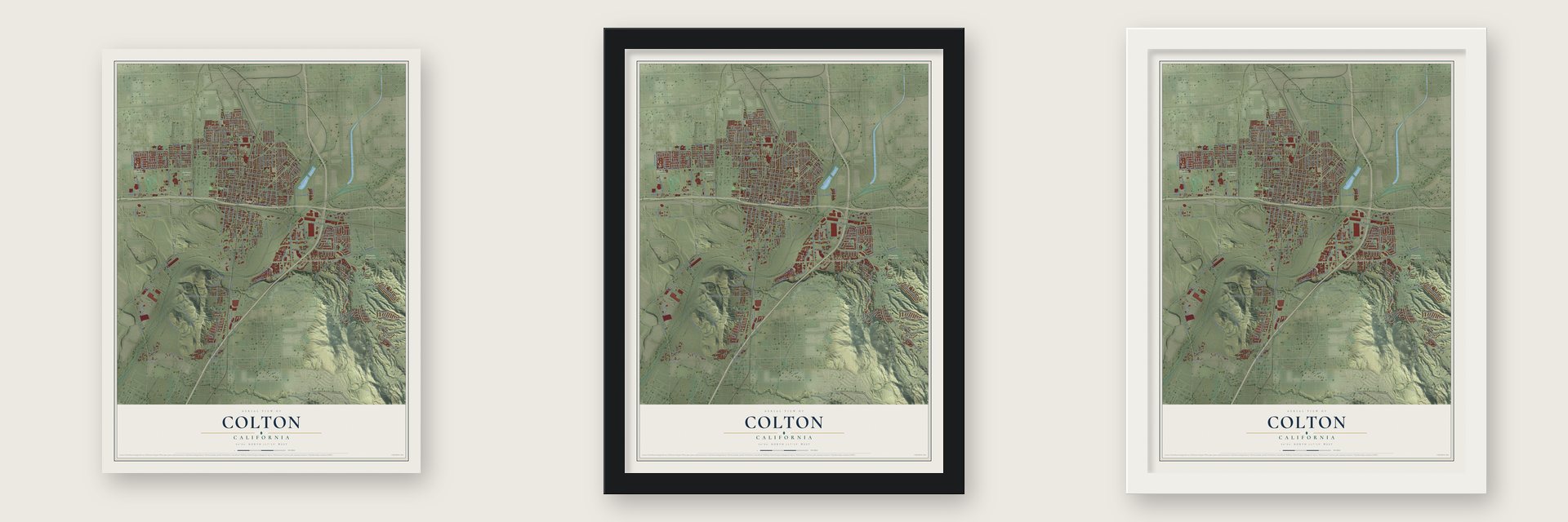
Unframed archival matte, a black wood frame or a white wood frame.
Up close
Geography Worth Displaying
This map was created using accurate cartographic data and authoritative geographic sources, including the U.S. Geological Survey and the Census Bureau. The map brings together terrain, waterways, roads, and building detail. The majority of the streets are labeled, houses are accurately depicted, and the topography is derived from government sources. Combining local data with carefully composed color and shading leads to this beautifully detailed Colton artwork for your wall.
Rather than simply showing street outlines, we’ve included as many of the street names as we could reasonably fit on the map while keeping their names legible. Zoom in on the high resolution preview to see exactly what’s on the map. We truly set out to create a statement piece for anyone who loves Colton. So whether it’s for you, or a gift for someone you love, we hope this map of Colton brings back fond memories.
Read the story behind this map of Colton, California from 2026.
Find your street
Names on the Colton map
Every name below is printed on this map. Look for your street, your school, the park where you played, or the pond down the road.
Places and landmarks7
- Colton City Hall
- Rana
- Hermosa Cemetery
- Montecito Memorial Park
- West Colton
- East Colton Heights
- Bethune
Streets and roads209
- West Valley Boulevard
- East Valley Boulevard
- East Cooley Drive
- North Mount Vernon Avenue
- West Mill Street
- West San Bernardino Avenue
- Johnston Street
- North Rancho Avenue
- North Bordwell Avenue
- West Olive Street
- Stewart Street
- East Olive Street
- South Riverside Avenue
- West Slover Avenue
- South Cooley Drive East
- Colunga Street
- Sperry Drive
- North Meridian Avenue
- John Juarez Way
- South Old Pellisier Road
- East Canyon Vista Drive
- Old Ranch Road
- Cisco Street
- South La Cadena Drive
- West Agua Mansa Road
- Utility Access Road West
- Reche Canyon Road
- South Reche Canyon Road
- North Pennsylvania Avenue
- South Mount Vernon Avenue
Show all 209 streets
- North La Cadena Drive
- North Colton Avenue
- South Rancho Avenue
- West Tropica Rancho Road
- North Ninth Street
- West Citrus Street
- West Laurel Street
- North Grand Avenue
- North Pepper Avenue
- Barton Road
- Meridian Street
- East Fairway Drive
- South Hunts Lane
- West Johnston Street
- South Fifth Street
- Rosedale Avenue
- North Eighth Street
- West Litton Avenue
- North Seventh Street
- West Randall Avenue
- East Steel Road
- North Second Street
- Prado Lane
- North Eucalyptus Avenue
- Mill Street
- North Rialto Avenue
- Santo Antonio Drive
- East Skyview Drive
- West East Street
- Bostick Avenue
- South Mohave Drive
- Tiffany Lane
- Rv Center Drive
- South Iowa Avenue
- Milano Way
- North Wildrose Avenue
- Cahuilla Street
- Fogg Street
- Virginia Drive
- North Holly Avenue
- South Jefferson Lane
- West Oak Street
- Award Drive
- Grand Terrace Road
- Pepper Avenue
- East Congress Street
- Westwood Street
- Loma Verde
- East North Street
- South Fogg Street
- Pellisier Road
- South Fourth Street
- North 13th Street
- North Cantara Street
- Watwood Avenue
- Key Street
- Forest Drive
- De Berry Street
- Main Street
- North Sycamore Avenue South
- Sycamore Avenue
- North Sperry Drive
- Helena Street
- East Citrus Street
- East Grant Avenue
- North Third Street
- Hunts Lane
- East Washington Street
- North Tenth Street
- East Washington Street North
- East Laurel Street
- Crystal Ridge Lane
- South Seventh Street
- West Long Beach Drive
- North Twelfth Street
- North Terrace Avenue
- Dark Canyon Road
- South Terrace Avenue
- North Sixth Street
- South Eighth Street
- South Cooley Drive West
- East Barton Road
- South Sixth Street
- North Hermosa Avenue
- South Wild Canyon Drive
- Cooley Lane
- East John Matich Drive
- South Santo Antonio Drive
- North Alston Avenue
- South Ninth Street
- North Teresa Avenue
- Ranch Drive
- West Fur Street
- Riverside Avenue
- West Ellen Street
- West Allee Ranch Road
- Kippy Drive
- West Orange Avenue
- South Third Street
- North Western Avenue
- Michelle Drive
- Luane Trail
- Canyon Drive
- North Hunter Road
- South Pine Street
- West Greenbriar Street
- East Hanna Street
- North Miller Drive
- South Via Lata
- East Shadid Drive
- North Iron Horse Drive
- Sugar Pine Lane
- Palm Avenue
- Janes Way
- Vivienda Avenue
- South Walnut Street
- Taylor Street
- West Gray Street
- West Lark Street
- Placentia Lane
- Harber Drive
- Quartz Road
- Agate Lane
- Walnut Avenue
- Vermont Street
- East Union Street
- Mesa Road
- Colton Avenue
- Fogg Road
- Oak Street
- Atchison Lane
- West Westwind Street
- East Valley Woods Street
- North Valencia Drive
- West Fogg Street
- Utility Access Road South
- West Herberts Lane
- North Christobal Lane
- West Dunn Ranch Road
- Terrace Avenue
- Stevenson Street
- West Maryknoll Drive
- West Hopkins Road
- Lavender Lane
- Bordwell Avenue
- East Indian Knoll Road
- East Via Veneta
- South Auto Plaza Drive
- South Florez Street
- Porfirio Elias Way
- Walter Court
- West Sosa Lane
- West Cameo Drive
- Rancho Avenue
- Placid Lane
- Canal Street
- Ivy Avenue
- Hill Road
- North Joshua Tree Street
- East East Street
- North Fourth Street
- South Mount Vernon Avenue West
- North Redlands Avenue
- West Hanna Street
- North Evelyn Circle
- South Lincoln Street
- North Highland Avenue
- East Oliver Holmes Road
- Cottonwood Drive
- West Canary Street
- North Jeryl Avenue
- South Barton Road
- North Randall Avenue
- Smokewood Street
- Del Giorgio Drive
- Agua Mansa Road
- Julian Court
- North Iowa Avenue
- Lugo Lane
Names are listed as they appear on the printed map. Zoom into the product photos to find them.
About Colton, California
Colton is a city of 53,909 people in San Bernardino County, about 4 miles south of downtown San Bernardino. Long before Spanish settlers came, the Tongva village of Homhoangna stood near the foot of Reche Canyon, whose old name, Homhoa, came from a Tongva word for a hilly place. Mission San Gabriel founded the settlement of Politana just to the northeast in 1810. In 1842 pioneers from New Mexico settled Agua Mansa, meaning gentle waters, in what is now the southwest part of the city.
The modern town began in 1875, when the Southern Pacific laid its tracks east from Los Angeles. The town took its name from David Douty Colton, a former brigadier general of the state militia who became the railroad's vice president. Colton was incorporated in 1887, and its rail lines earned it the nickname Hub City. In 1953 much of the old downtown was cleared for the Ramona Freeway, later called the San Bernardino Freeway, and Helman's and Willet's department stores moved north along Eighth Street.
“On August 11, 1875, the first train that ever entered San Bernardino Valley entered Colton, and for a year or more it remained the terminus of the line.”
- Colton Crossing, 1882The California Southern Railroad built Colton Crossing in 1882, laying its tracks across the Southern Pacific line as it pushed north from San Diego, and the Southern Pacific and the Santa Fe clashed over the spot. After later mergers, BNSF and Union Pacific main lines met here at one of the busiest level crossings in the country.
- A flyover in 2013When imports through Los Angeles and Long Beach swelled rail traffic in the mid-1990s, Colton Crossing became a bottleneck. On August 28, 2013, a flyover lifted the Union Pacific tracks above the BNSF line.
- Virgil Earp, first marshalVirgil Earp, older brother of Wyatt Earp, served as Colton's first city marshal and lived at 528 West "H" Street from 1883 to 1889. His brother Morgan Earp is buried in Colton's Hermosa Cemetery.
- Cooley Ranch and Indian KnollsGeorge Cooley left Kent, England, for Colton in 1853, and the next year he bought 200 acres along the Santa Ana River at $3.50 an acre. He chaired the county Board of Supervisors, and by 1873 the ranch covered 400 acres. Native people of the valley took refuge on its knolls in the flood of 1862, so for nearly 100 years the land was called Indian Knolls.
Keep exploring California
Colton is one of 1,990 California towns we've mapped. Every dot on the map is a print of its own.
The search covers every state, California first.
Near Colton
Order 2 or more town maps and save 10%. Shown in the size and finish you picked above, so they hang as a set.
- Grand Terrace 12" x 18" / Archival Matte Print $39.99
- Highgrove 12" x 18" / Archival Matte Print $39.99
- Bloomington 12" x 18" / Archival Matte Print $39.99
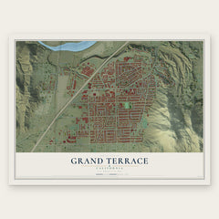
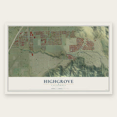
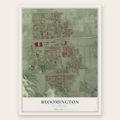
More maps nearby: Loma Linda, Warm Springs, Rialto, San Bernardino and Muscoy.
The art of mapping a place
How This Map Was Made
Real places. Remarkable detail. Discover the layers that turn geographic data into a map of home.

The view from above
Aerial imagery reveals the character of the land: woodland, open fields, and the patterns of a place.

The shape of the land
Elevation data brings hills, valleys, and subtle changes in the landscape into view.

The details of home
Roads, waterways, and building footprints come together to make the map feel unmistakably local.

Geography becomes art
Considered color, shading, and typography bring the layers together in a map made for your wall.


Process illustrated with Mendon, Massachusetts. Aerial imagery: USDA NAIP. Terrain: USGS 3D Elevation Program. Map details and finished artwork: KNOWOL.
The Details
About This Print
Choose an archival matte print, or a black or white Ayous wood frame. The archival matte print is unframed.
Select your size and finish above to see the matching product image and price.
Materials & Craftsmanship
A contemporary map with the character of a classic atlas, printed on archival matte paper. Optional frames are made from Ayous wood.
Your printed map does not include the watermark shown in the full-map preview.
Shipping & Delivery
Free shipping within the United States. Every print is made to order in the USA.
Buying a gift? Add a note in your cart and we'll include it. We never put prices in the package.
Prints ship within 2 to 3 business days. Allow 7 to 10 days total from ordering for delivery. Timing may vary during holidays or periods of high order volume.
Read our shipping policy.
Returns and damaged prints
Each print is made to order. Change-of-mind refunds are not available after production.
If your print arrives damaged, misprinted or incorrect, contact support@knowol.com within 30 days of receiving it. Include your order number, photos and a description of the issue.
Read our full refund and replacement policy. For questions about your order, email support@knowol.com.