
Search for another town
Free U.S. delivery 7 to 10 days after you order
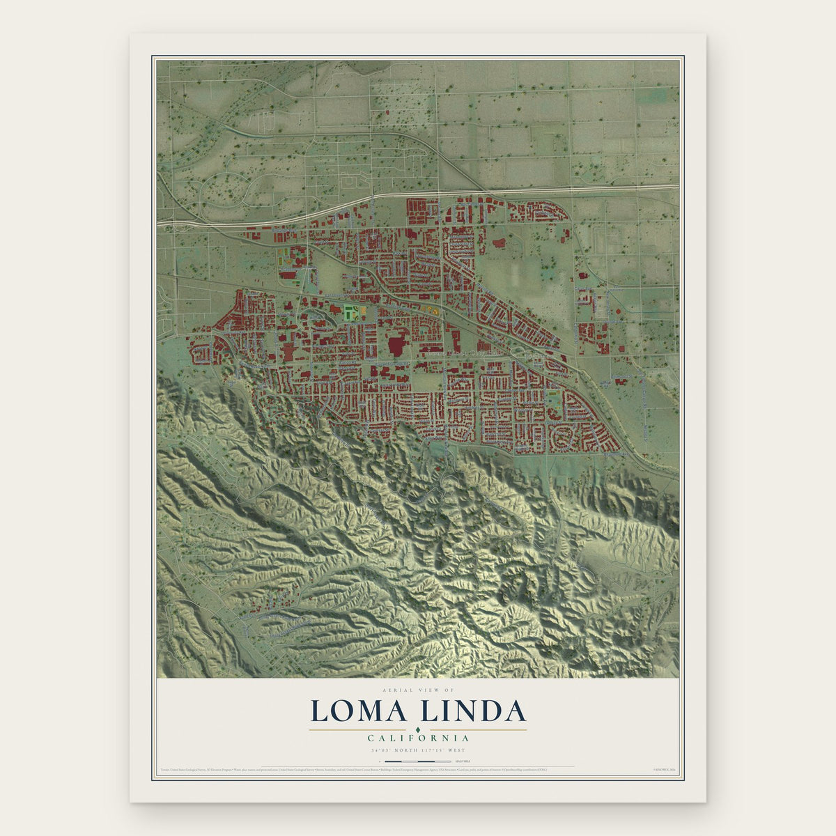
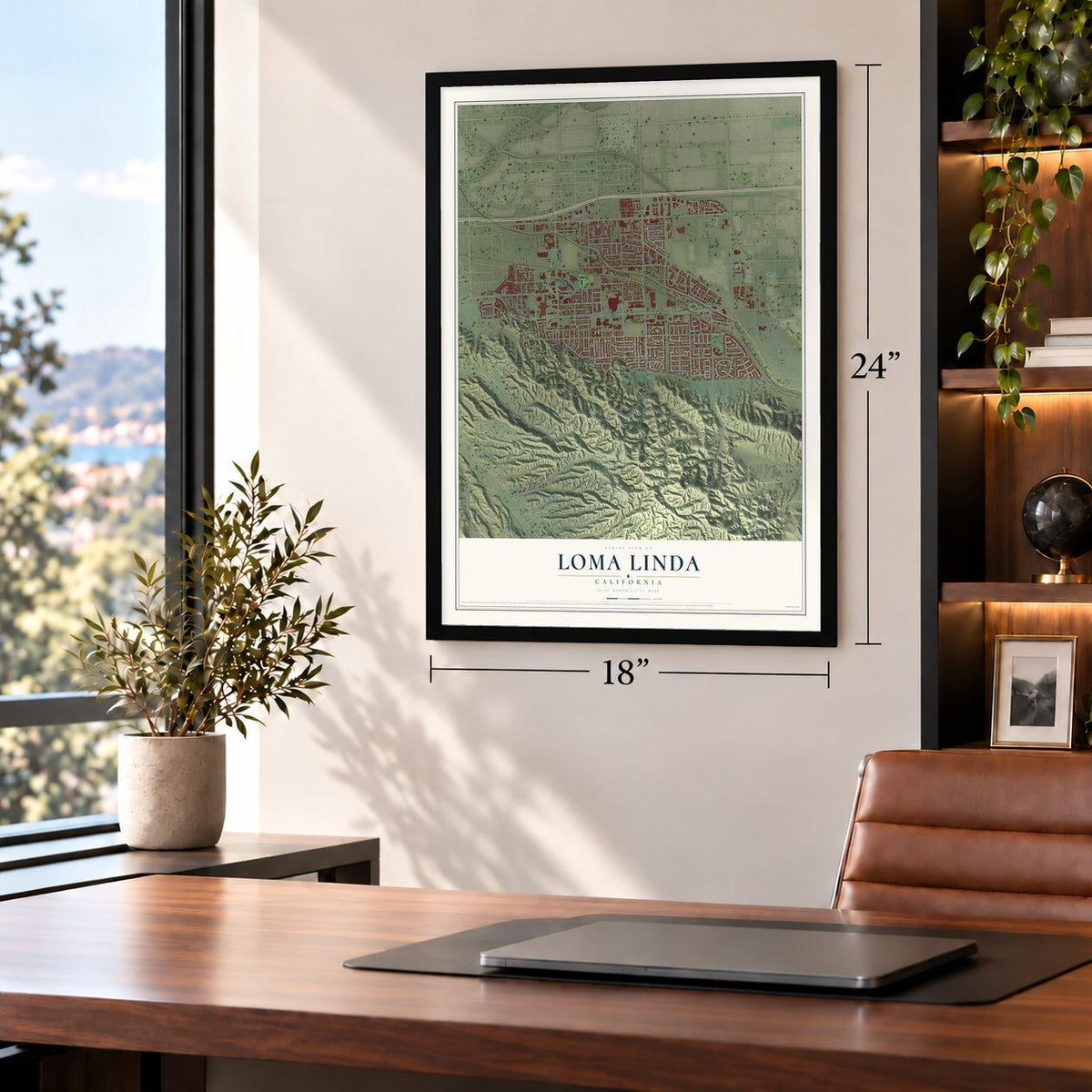
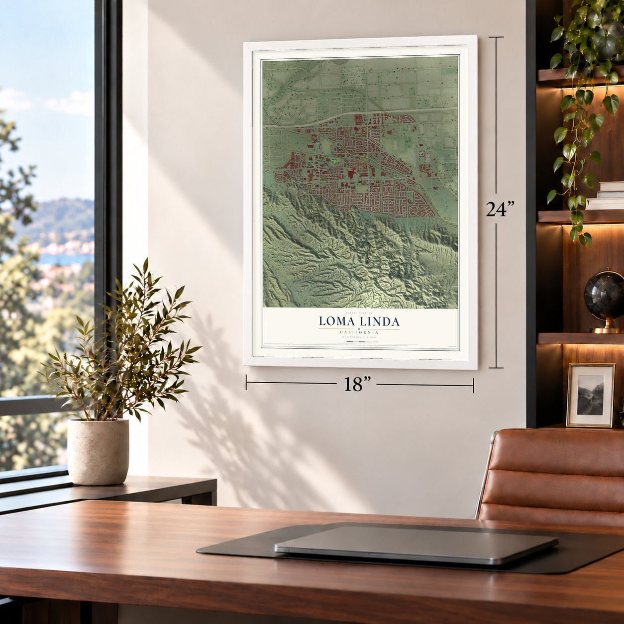
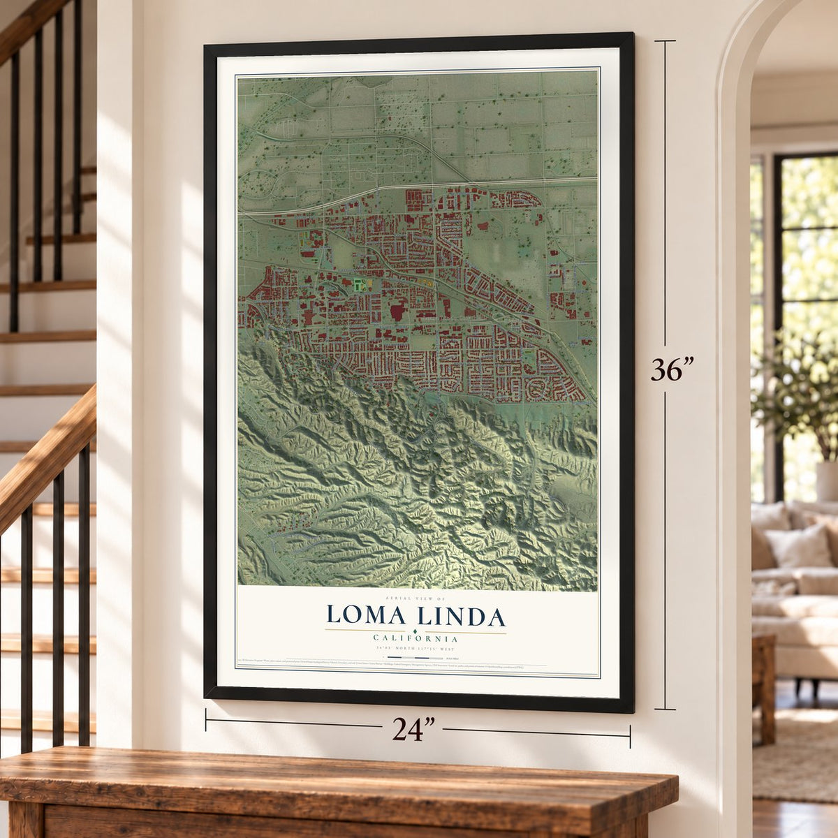
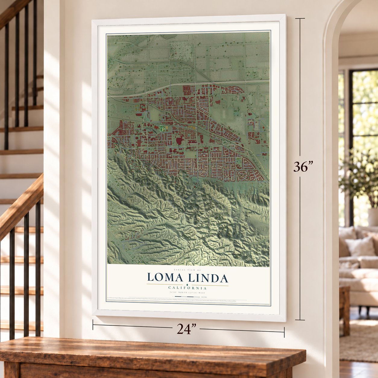
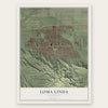
Loma Linda, California Map Art
Building by building, with labeled streets and shaded relief.
12" x 18" Archival Matte Print
A Map of Home. A Work of Art.
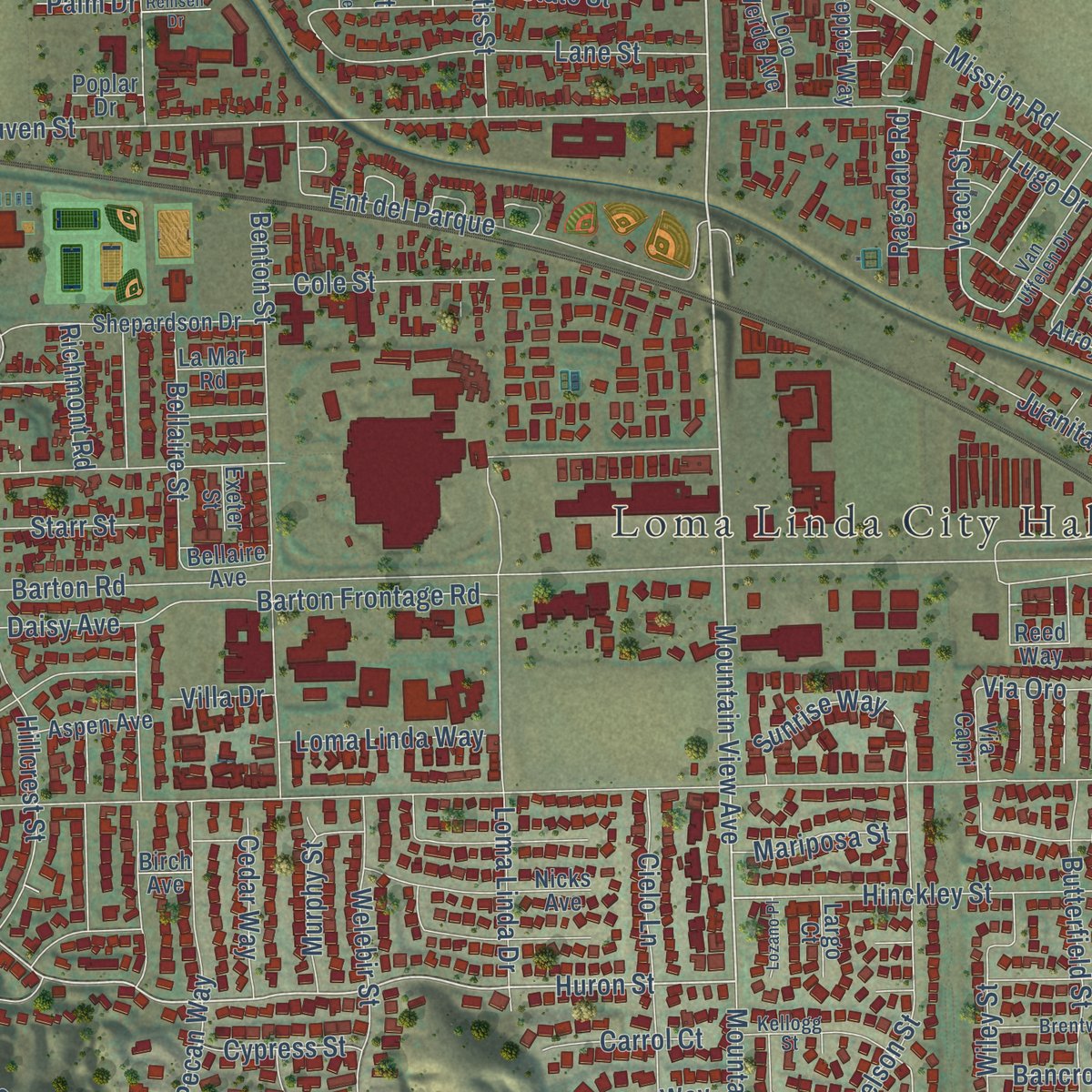
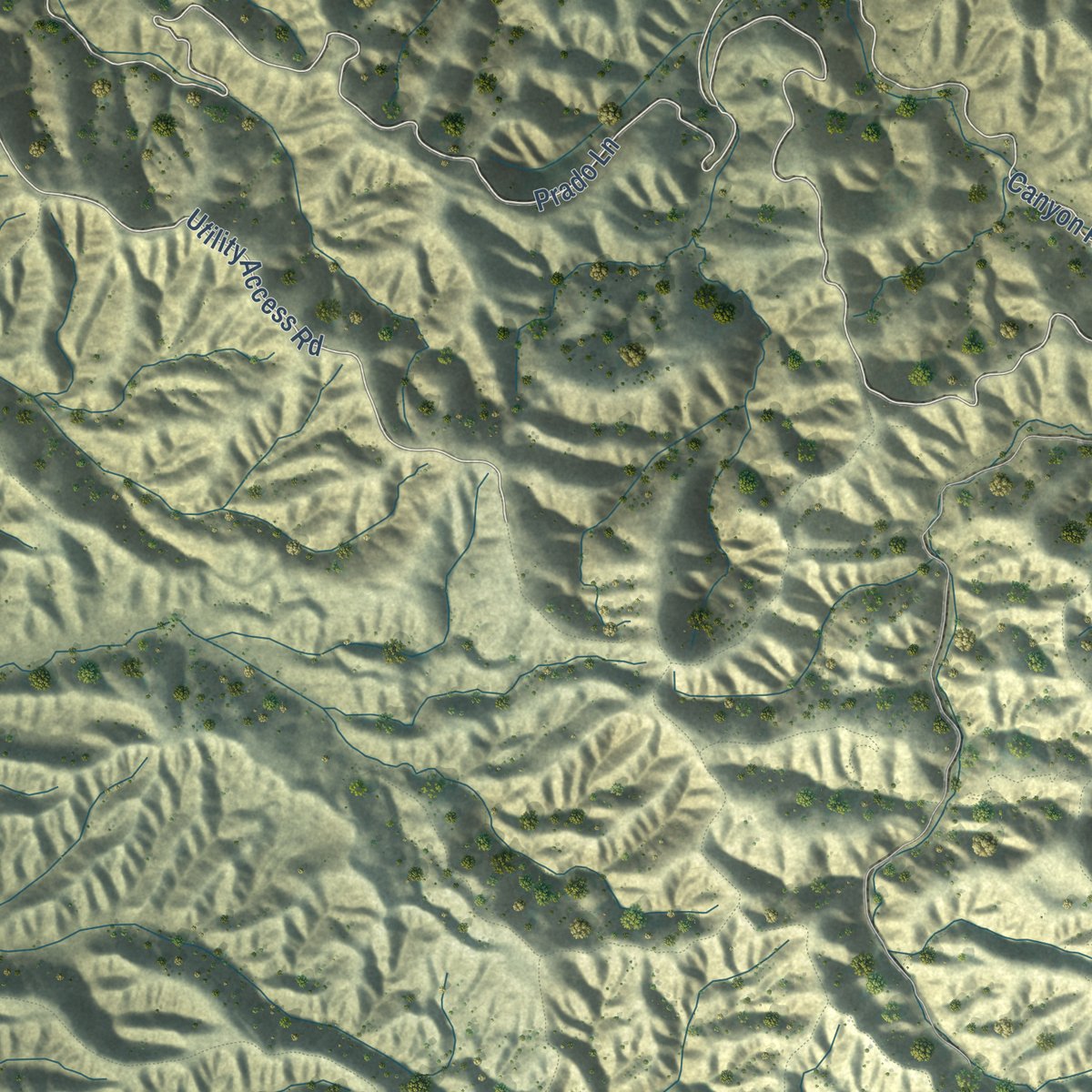
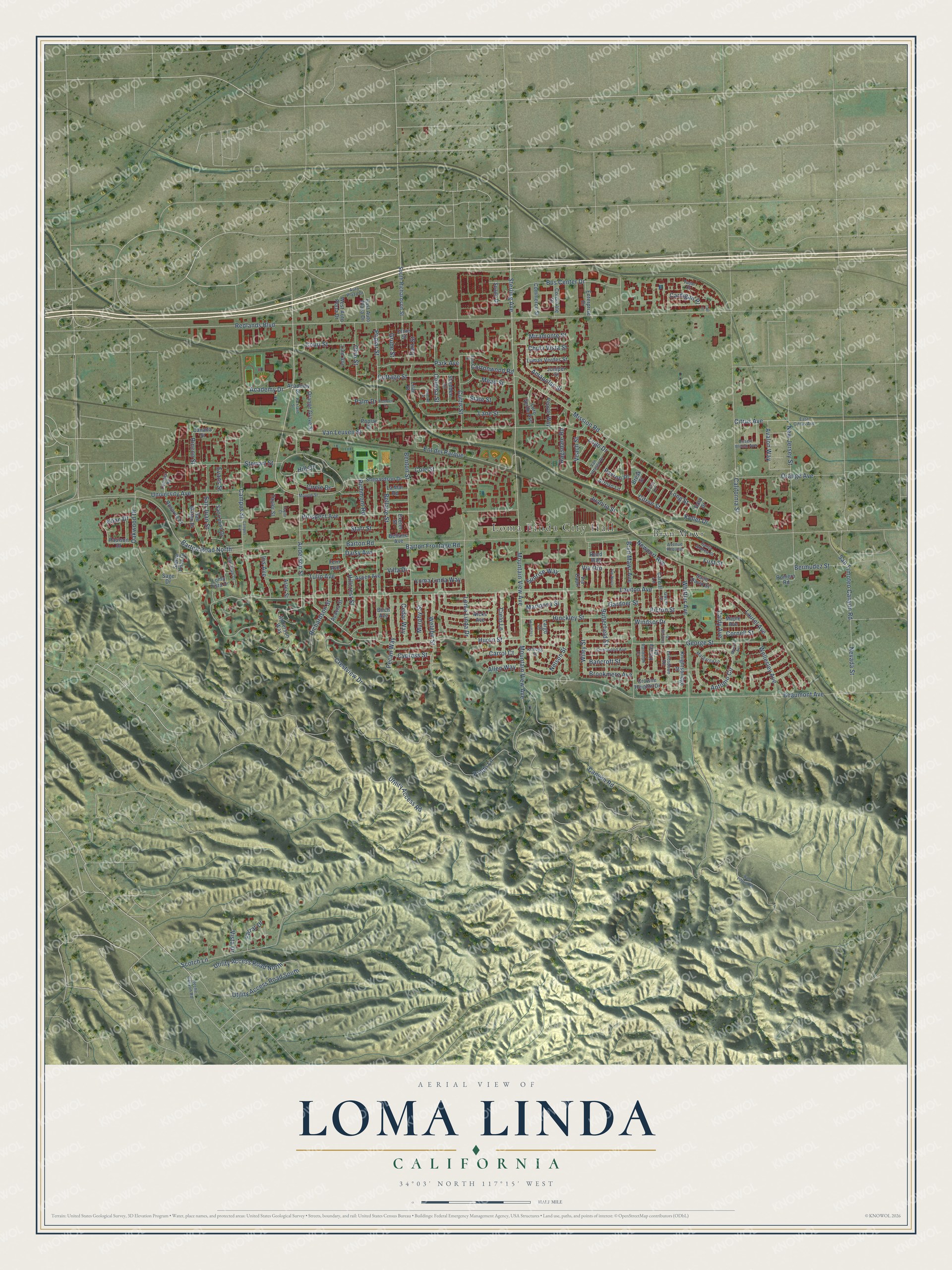
Explore Loma Linda, California from a whole new perspective. Created using aerial imagery and detailed geographic data, this map captures Loma Linda building by building, with labeled streets, familiar landmarks, and shaded topographical relief that highlights the natural contours of the landscape.
Combining modern data with the timeless character of a vintage atlas, this map is just as interesting up close as it is beautiful on the wall. Whether you grew up in Loma Linda, spent memorable years there, or call it home today, this unique map is a great way to celebrate a place that means something to you. Zoom in on the preview to look for your street, and then order a print to put your memories on the wall.
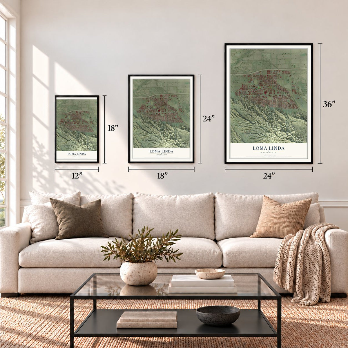
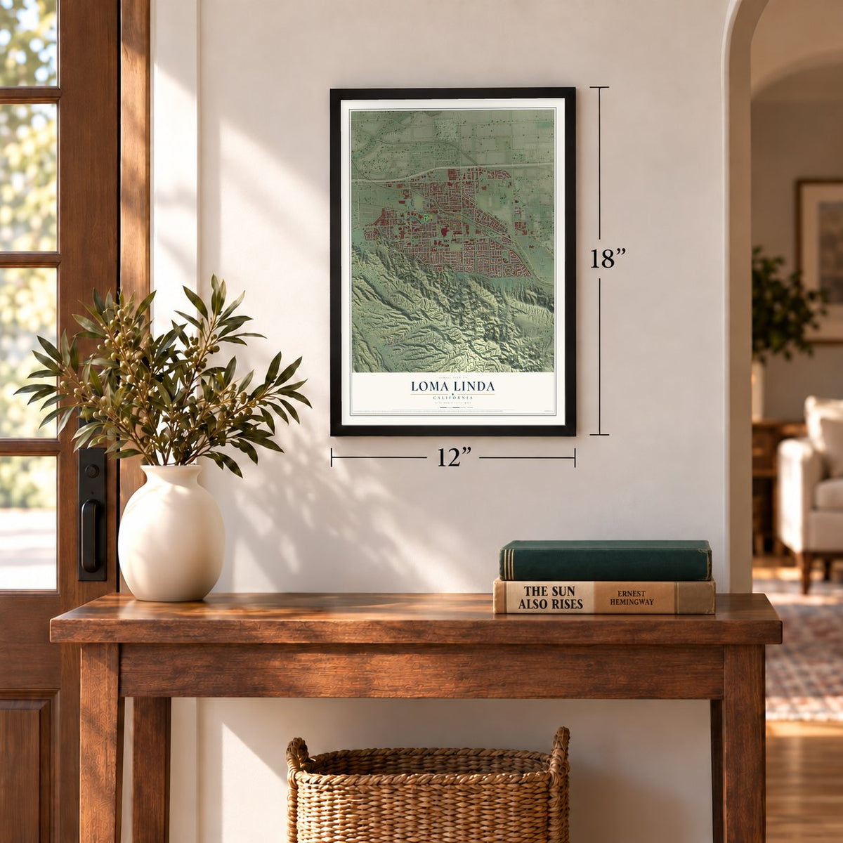
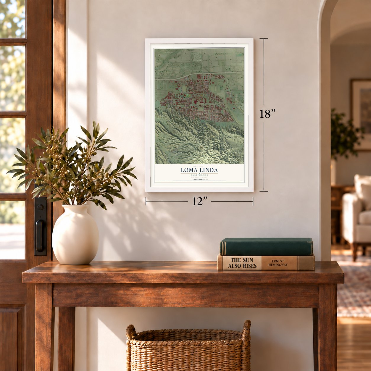
Three ways to hang it
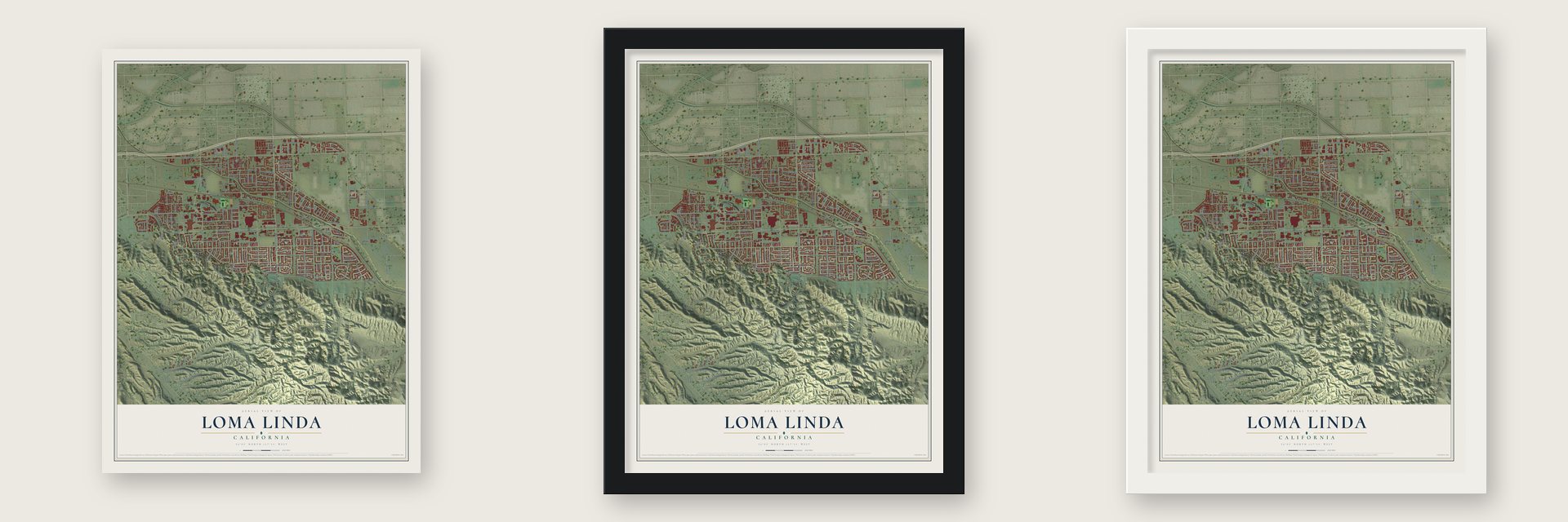
Unframed archival matte, a black wood frame or a white wood frame.
Up close
Geography Worth Displaying
This map was created using accurate cartographic data and authoritative geographic sources, including the U.S. Geological Survey and the Census Bureau. The map brings together terrain, waterways, roads, and building detail. The majority of the streets are labeled, houses are accurately depicted, and the topography is derived from government sources. Combining local data with carefully composed color and shading leads to this beautifully detailed Loma Linda artwork for your wall.
Rather than simply showing street outlines, we’ve included as many of the street names as we could reasonably fit on the map while keeping their names legible. Zoom in on the high resolution preview to see exactly what’s on the map. We truly set out to create a statement piece for anyone who loves Loma Linda. So whether it’s for you, or a gift for someone you love, we hope this map of Loma Linda brings back fond memories.
Read the story behind this map of Loma Linda, California from 2026.
Find your street
Names on the Loma Linda map
Every name below is printed on this map. Look for your street, your school, the park where you played, or the pond down the road.
Places and landmarks2
- Loma Linda City Hall
- Bryn Mawr
Streets and roads193
- Lawton Avenue
- Academy Drive
- Anderson Street
- Mountain View Avenue
- Huron Street
- Dart Street
- Redlands Boulevard
- Prado Lane
- Barton Road
- Canyon Road
- Utility Access Road
- Beaumont Avenue
- Van Leuven Street
- California Street
- Mission Road
- Whittier Avenue
- Poplar Street
- Prospect Avenue
- Bryn Mawr Avenue
- Stewart Street
- New Jersey Street
- Richardson Street
- Benton Street
- Scotch Lane
- Campus Street
- Newport Avenue
- Loma Linda Drive
- George Street
- San Juan Street
- University Avenue
Show all 193 streets
- Crestview Drive
- Utility Access Road South
- Ent del Parque
- Antonio Circle
- Hillcrest Street
- Tulip Avenue
- Bus Center Drive
- Circle Drive
- Hinckley Street
- Lane Street
- Curtis Street
- Barton Road North
- San Timoteo Canyon Road
- Utility Access Road North
- Barton Frontage Road
- Daisy Avenue
- Juanita Street
- Welebir Street
- Nelson Street
- Butterfield Street
- Coloma Street
- Orange Avenue
- Richmont Road
- Citrus Avenue
- Park Avenue
- Cottage Street
- Long Street
- Amapolas Street
- Starr Street
- Cielo Lane
- State Street
- Pecan Way
- Nevada Street
- Mead Street
- Laurel Avenue
- Avalon Way
- Gardner Street
- Sterling Avenue
- Farrar Drive
- Sunrise Way
- Court Street
- Wiley Street
- Ohio Street
- Bellaire Street
- Wellesley Avenue
- Cole Street
- Lugo Drive
- Miramonte Street
- Loma Linda Way
- Bermudez Street
- Evans Street
- Allen Way
- Oakwood Drive
- Hill Drive
- Via Oro
- Murphy Street
- Brookmere Avenue
- First Street
- Caldy Avenue
- Windsor Drive
- Cedar Way
- Mariposa Street
- Cottonwood Road
- Keller Drive
- Iris Avenue
- Picton Street
- Ragsdale Road
- Cornell Street
- Bancroft Street
- Chula Vista Street
- Citron Street
- Cypress Street
- Carrol Court
- Veach Street
- Grube Street
- Cardigan Place
- Vista Drive
- Rincon Street
- Khan Drive
- Paxton Place
- Villa Drive
- Palm Drive
- Anderson Way
- Knightsbridge Place
- Academy Street
- Arroyo Lane
- Reed Way
- Taylor Street
- Shepardson Drive
- Orange Grove Street
- Lomas Verdes Street
- South Richardson Street
- Loma Vista Drive
- Nicks Avenue
- San Mateo Drive
- Rosarita Drive
- La Mar Road
- Loro Verde Avenue
- Acacia Street
- Aster Street
- Sierra Vista Drive
- San Lucas Drive
- Corporate Drive
- Crowne Heights Drive
- Enterprise Drive
- Lilac Street
- Commerce Street
- Maple Avenue
- East Auto Plaza Drive
- Pepper Way
- Juniper Street
- Aspen Avenue
- Cardiff Lane
- Paulson Drive
- West Auto Plaza Drive
- Saint David Street
- Shedden Drive
- Bellaire Avenue
- Canada Street
- Spade Drive
- Kelsey Court
- Lind Avenue
- Ernie Street
- Via Capri
- Romero Road
- Largo Court
- Break Street
- Poplar Drive
- Sage Drive
- Exeter Street
- Fern Avenue
- Birch Avenue
- Earp Drive
- Camden Road
- Reche Canyon Road
- Landsdown Road
- East Citrus Avenue
- Kellogg Street
- Mound Street
- San Juan Drive
- Brentwood Avenue
- Santa Andrea Street
- Van Uffelen Drive
- Margarita Lane
- Auto Plaza Drive
- Desert Bloom Avenue
- Gwent Street
- Cram Lane
- Randolph Court
- Avenue Requejo
- Tudor Court
- Parkland Street
- West Pilgrim Road
- Campus Avenue
- Elm Street
- Emerald Drive
- Lozano Place
- Via-Norte
- Manuel Avenue
- Remsen Drive
- Jasmine Street
- Taylor Court
- Taff Street
Names are listed as they appear on the printed map. Zoom into the product photos to find them.
About Loma Linda, California
Loma Linda is a city of 24,791 people in San Bernardino County, in the southern San Bernardino Valley. The Tongva village of Wa'aachnga stood here, and the Spanish called it Rancheria Guachama. In the early 1800s it became an outpost of Mission San Gabriel. Cahuilla and Serrano people lived there later. Late in that century, railroad companies urged promoters to build a tourist resort called Mound City. Shops and cottages went up, but the venture failed.
In the late 1890s a group of Los Angeles businessmen and doctors purchased the old hotel. They turned it into a health resort where sick people could rest and heal, and they named it Loma Linda, Spanish for "beautiful hill." In 1900 the Loma Linda Association was incorporated, and the whole development took the new name. In 1905 John Burden and Ellen G. White, both Seventh-day Adventists, bought the hotel and its land. They reopened it as the Loma Linda Sanitarium.
- A college founded in 1906In February 1906 the Adventists opened the Loma Linda College of Evangelists, which is now Loma Linda University. The church started a school of medicine in 1909, and it grew into Loma Linda University Medical Center. Its doctors were the first to place a baboon's heart in a human patient. They also performed the first split-brain surgery.
- One of five Blue ZonesIn 2004 researcher Dan Buettner, National Geographic and the National Institute on Aging listed Loma Linda among the world's five Blue Zones. These are places where people live longer than average. The researchers gave credit to the healthy habits of the city's Adventists, who make up nearly half of its residents. Heart surgeon Ellsworth Wareham, a World War II veteran who lived here, appeared in the 2009 documentary How to Live Forever.
- A vegetarian townThe all-vegetarian Loma Linda Foods company started here in 1905. The Loma Linda Market sells no red meat, poultry or seafood. The university dining halls serve only vegetarian meals, and Adventist church potlucks are meatless. Many residents also avoid alcohol and coffee.
- The flood of 1969San Timoteo Creek runs through the city from southeast to northwest. In 1969 it overflowed and covered two-thirds of Loma Linda. The water carried away many of its bridges and filled Loma Linda Academy. The city was incorporated the next year, in 1970. The creek flooded parts of town again in 2010.
Keep exploring California
Loma Linda is one of 1,990 California towns we've mapped. Every dot on the map is a print of its own.
The search covers every state, California first.
Near Loma Linda
Order 2 or more town maps and save 10%. Shown in the size and finish you picked above, so they hang as a set.
- Grand Terrace 12" x 18" / Archival Matte Print $39.99
- Highgrove 12" x 18" / Archival Matte Print $39.99
- Redlands 12" x 18" / Archival Matte Print $39.99
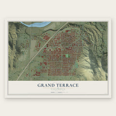
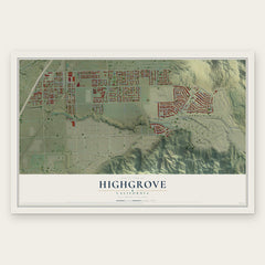
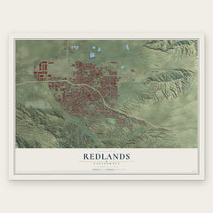
More maps nearby: Warm Springs, Colton, Highland, San Bernardino and Mentone.
The art of mapping a place
How This Map Was Made
Real places. Remarkable detail. Discover the layers that turn geographic data into a map of home.

The view from above
Aerial imagery reveals the character of the land: woodland, open fields, and the patterns of a place.

The shape of the land
Elevation data brings hills, valleys, and subtle changes in the landscape into view.

The details of home
Roads, waterways, and building footprints come together to make the map feel unmistakably local.

Geography becomes art
Considered color, shading, and typography bring the layers together in a map made for your wall.


Process illustrated with Mendon, Massachusetts. Aerial imagery: USDA NAIP. Terrain: USGS 3D Elevation Program. Map details and finished artwork: KNOWOL.
The Details
About This Print
Choose an archival matte print, or a black or white Ayous wood frame. The archival matte print is unframed.
Select your size and finish above to see the matching product image and price.
Materials & Craftsmanship
A contemporary map with the character of a classic atlas, printed on archival matte paper. Optional frames are made from Ayous wood.
Your printed map does not include the watermark shown in the full-map preview.
Shipping & Delivery
Free shipping within the United States. Every print is made to order in the USA.
Buying a gift? Add a note in your cart and we'll include it. We never put prices in the package.
Prints ship within 2 to 3 business days. Allow 7 to 10 days total from ordering for delivery. Timing may vary during holidays or periods of high order volume.
Read our shipping policy.
Returns and damaged prints
Each print is made to order. Change-of-mind refunds are not available after production.
If your print arrives damaged, misprinted or incorrect, contact support@knowol.com within 30 days of receiving it. Include your order number, photos and a description of the issue.
Read our full refund and replacement policy. For questions about your order, email support@knowol.com.