
Search for another town
Free U.S. delivery 7 to 10 days after you order
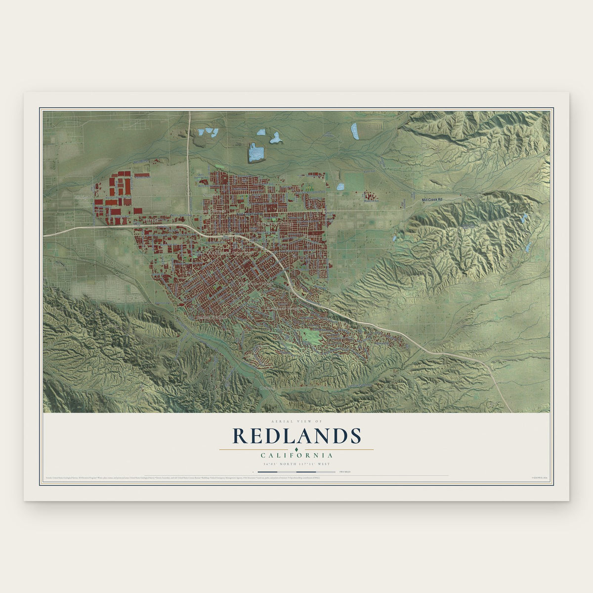
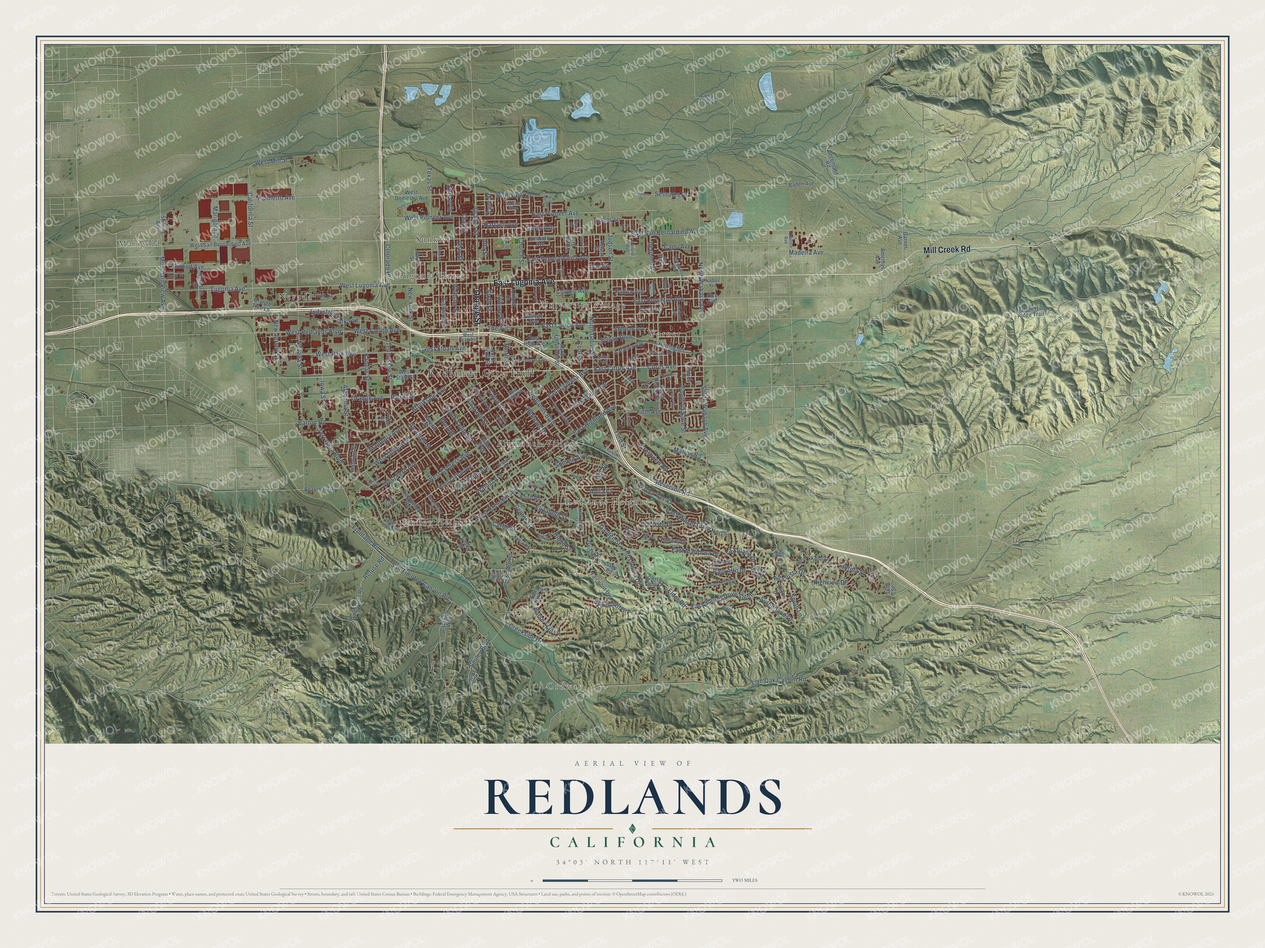
Redlands, California Map Art
Building by building, with labeled streets and shaded relief.
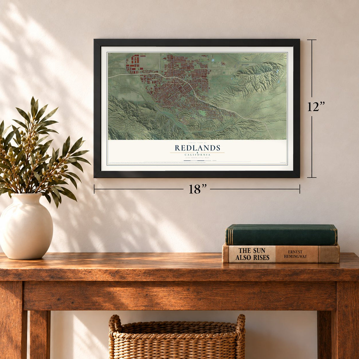
12" x 18" Archival Matte Print
A Map of Home. A Work of Art.
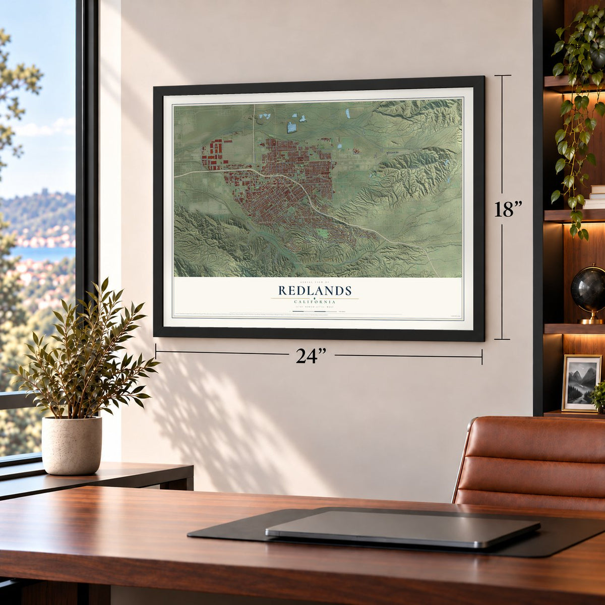
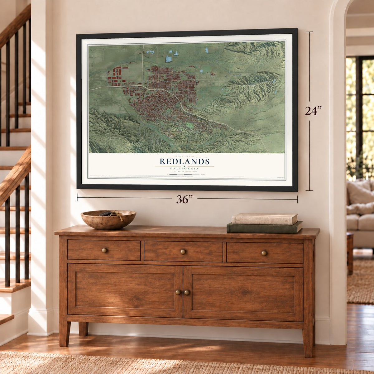
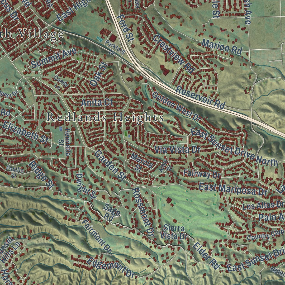
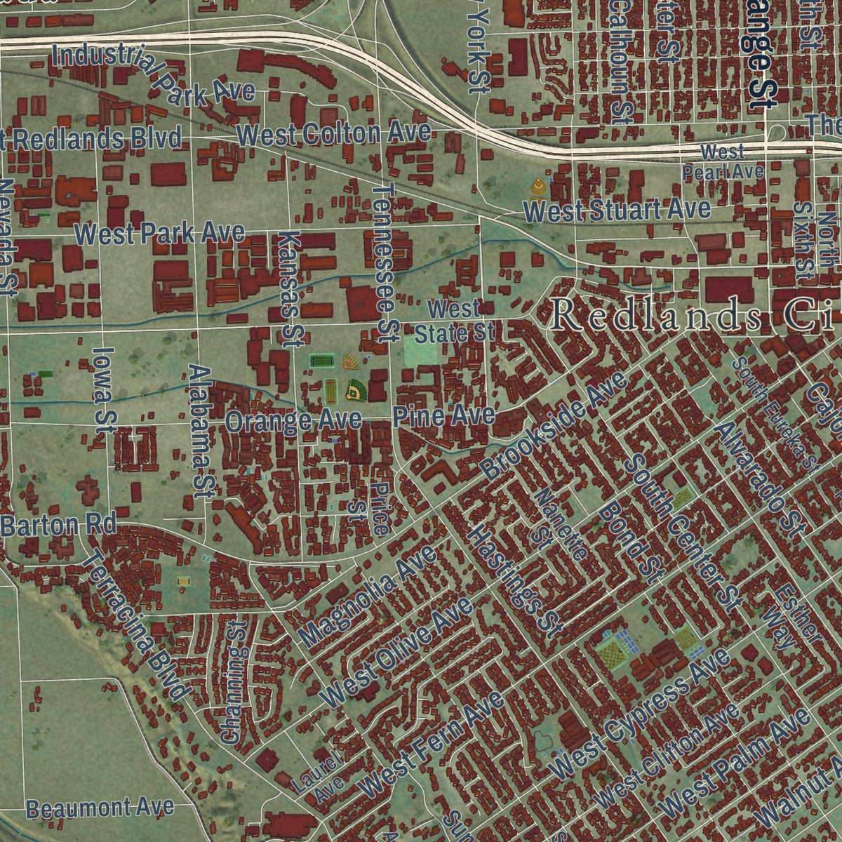
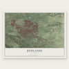
Explore Redlands, California from a whole new perspective. Created using aerial imagery and detailed geographic data, this map captures Redlands building by building, with labeled streets, familiar landmarks, and shaded topographical relief that highlights the natural contours of the landscape.
Combining modern data with the timeless character of a vintage atlas, this map is just as interesting up close as it is beautiful on the wall. Whether you grew up in Redlands, spent memorable years there, or call it home today, this unique map is a great way to celebrate a place that means something to you. Zoom in on the preview to look for your street, and then order a print to put your memories on the wall.
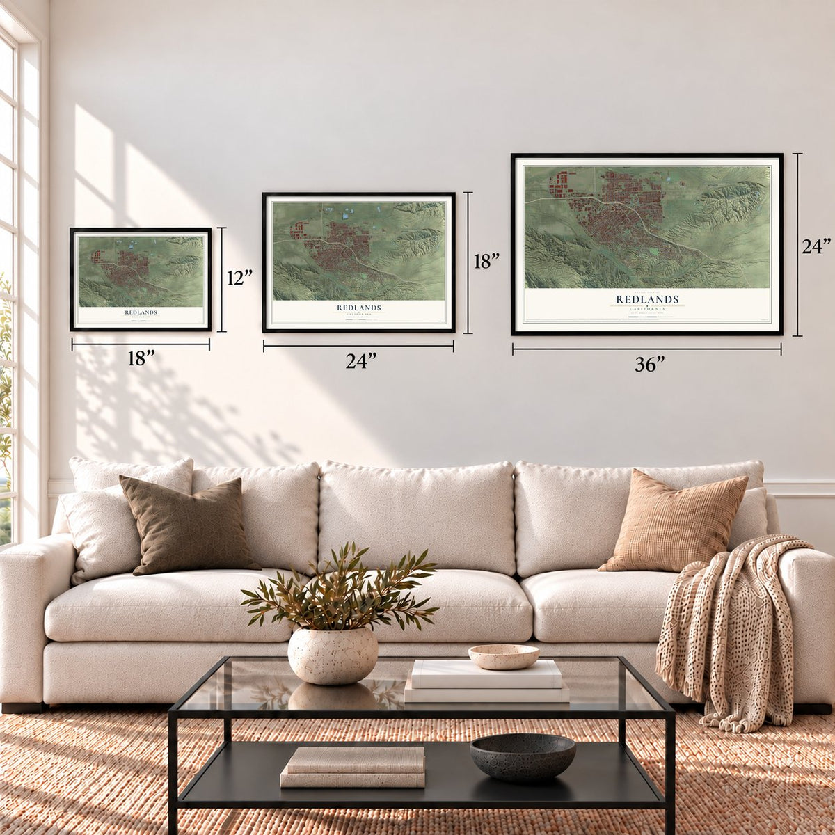
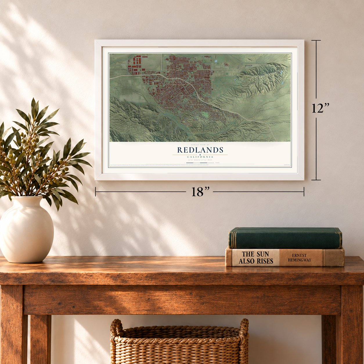
Three ways to hang it
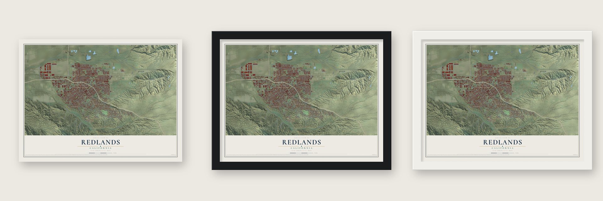
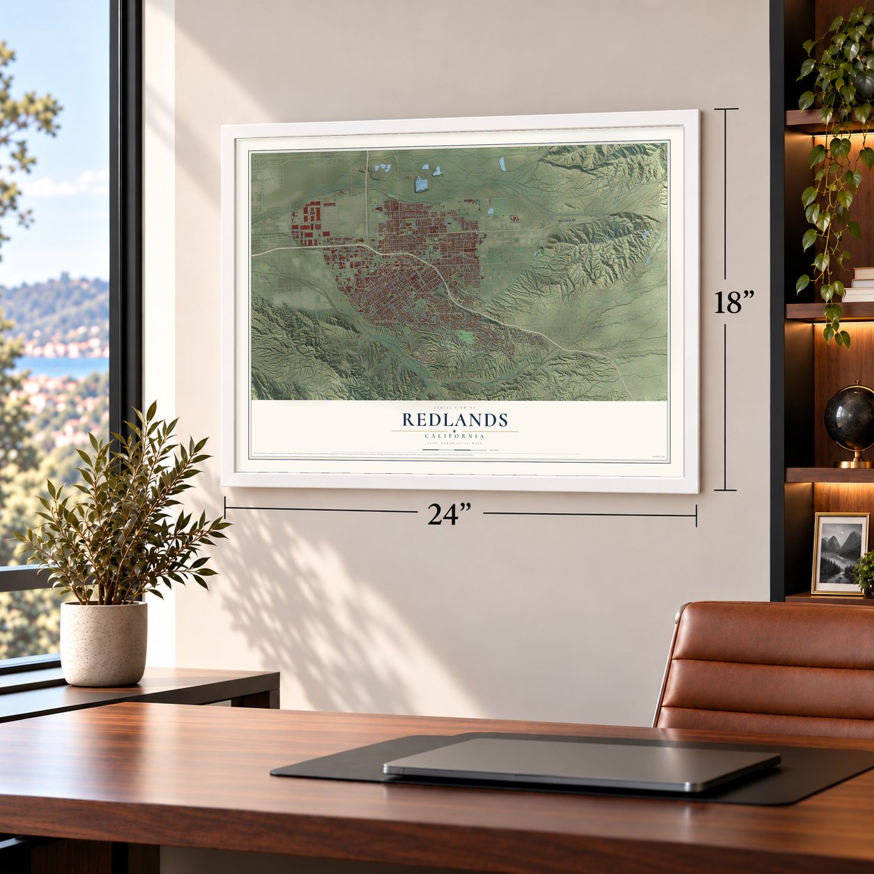
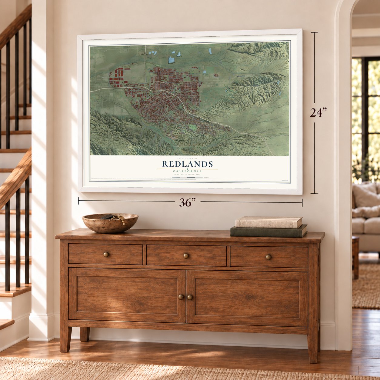
Unframed archival matte, a black wood frame or a white wood frame.
Up close
Geography Worth Displaying
This map was created using accurate cartographic data and authoritative geographic sources, including the U.S. Geological Survey and the Census Bureau. The map brings together terrain, waterways, roads, and building detail. The majority of the streets are labeled, houses are accurately depicted, and the topography is derived from government sources. Combining local data with carefully composed color and shading leads to this beautifully detailed Redlands artwork for your wall.
Rather than simply showing street outlines, we’ve included as many of the street names as we could reasonably fit on the map while keeping their names legible. Zoom in on the high resolution preview to see exactly what’s on the map. We truly set out to create a statement piece for anyone who loves Redlands. So whether it’s for you, or a gift for someone you love, we hope this map of Redlands brings back fond memories.
Read the story behind this map of Redlands, California from 2026.
Find your street
Names on the Redlands map
Every name below is printed on this map. Look for your street, your school, the park where you played, or the pond down the road.
Places and landmarks11
- Redlands City Hall
- Marigold
- Ordway
- Warner
- Smiley Heights
- Sunkist
- Redlands Heights
- Nevada
- Plymouth Village
- University Village
- Lugonia Homes
Streets and roads225
- East Lugonia Avenue
- Orange Street
- Mill Creek Road
- East Citrus Avenue
- Citrus Avenue
- West Lugonia Avenue
- West Redlands Boulevard
- Cajon Street
- Redlands Boulevard
- Garden Street
- New York Street
- Doyle Avenue
- Hastings Street
- Nevada Street
- Walnut Avenue
- Lugonia Avenue
- San Timoteo Canyon Road
- Pine Avenue
- Carob Street
- Tennessee Street
- Live Oak Canyon Road
- East Sunset Drive North
- East San Bernardino Avenue
- Alabama Street
- East Brockton Avenue
- East Colton Avenue
- South Center Street
- Texas Street
- South Wabash Avenue
- East Pioneer Avenue
Show all 225 streets
- East Highland Avenue
- West Fern Avenue
- Judson Street
- Church Street
- Ford Street
- California Street
- North Wabash Avenue
- West Olive Avenue
- Brookside Avenue
- West Cypress Avenue
- East Sunset Drive South
- West Park Avenue
- East Pennsylvania Avenue
- West Colton Avenue
- North Grove Street
- East Palm Avenue
- Sylvan Boulevard
- West Palm Avenue
- Clay Street
- Terracina Boulevard
- Alta Street
- Fifth Avenue
- Orange Avenue
- Sixth Street
- Reservoir Road
- Mountain View Avenue
- Kansas Street
- Riverview Drive
- Webster Street
- Ohio Street
- West Pioneer Avenue
- Industrial Park Avenue
- Edgemont Drive
- Marion Road
- East Cypress Avenue
- Elizabeth Street
- Barton Road
- West Crescent Avenue
- Iowa Street
- East Mariposa Drive
- Alvarado Street
- Palo Alto Drive
- Florida Street
- Crestview Road
- Creekside Drive
- Palmetto Avenue
- Highview Drive
- Refuse Road
- Almond Avenue
- West Stuart Avenue
- Alta Vista Drive
- Sessums Drive
- South La Salle Street
- Summit Avenue
- Horse Trail Lane
- Hartzell Avenue
- Lucas Lane
- Via Vista Drive
- Sutherland Drive
- Calhoun Street
- New Jersey Street
- South Lane
- Madeira Avenue
- Frontage Road
- West Mill Street
- Colorado Place
- Marigold Street
- Magnolia Avenue
- Tribune Street
- La Solana Drive
- Rossmont Drive
- Anita Court
- Hibiscus Drive
- The Terrace
- Capri Avenue
- Bond Street
- Cornell Avenue
- Elder Road
- Smiley Boulevard
- Padua Avenue
- Furlow Drive
- Ninth Street
- Ridge Street
- Cook Street
- Oak Street
- Center Street
- Cave Street
- Marcia Street
- West San Bernardino Avenue
- Alessandro Road
- North University Street
- Golden West Drive
- Sterling Avenue
- Orange Tree Lane
- Sunset Hills Lane
- Stillman Avenue
- West Clifton Avenue
- Sunset Lane
- Palomares Road
- Dearborn Street
- West State Street
- Fairmont Drive
- College Avenue
- Sunnyside Avenue
- Fairway Drive
- Clock Street
- Knoll Drive
- Crafton Hills Ridge Trail
- Dwight Street
- East High Avenue
- Laramie Avenue
- South Dearborn Street
- North Sixth Street
- West Domestic Avenue
- Sierra Vista Drive
- Cypress Way
- Village Street
- Beaumont Avenue
- Crown Street
- Greenspot Road
- Karon Street
- Esther Way
- Los Altos Drive
- Research Drive
- Oxford Drive
- Kimberly Avenue
- Knoll Road
- Channing Street
- Herrington Drive
- Nanette Street
- Baden Avenue
- Amethyst Avenue
- Plum Lane
- Garnet Avenue
- Nice Avenue
- Cone Camp Road
- Club Drive
- Jean Avenue
- Nelson Street
- Lisa Lane
- Price Street
- Sage Road
- 16th Street
- East Fern Avenue
- Revelation Way
- Smiley Road
- West Pearl Avenue
- Country Club Drive
- South Eureka Street
- Roosevelt Road
- Serpentine Drive
- Henrietta Street
- East Central Avenue
- Gold Hill Lane
- Laurel Avenue
- Kincaid Street
- Helen Drive
- Jasmine Street
- Adeline Avenue
- Naples Avenue
- Dolores Court
- Crafton Avenue
- Merced Street
- Hugo Street
- Coral Court
- Tivoli Drive
- 17th Street
- Acacia Court
- Solano Way
- Liv Lane
- Lori Court
- Prospect Drive
- Pacific Street
- Central Avenue
- Smiley Heights Drive
- Chestnut Avenue
- South Fourth Street
- Foothill Way
- Country Place
- Smiley Ridge
- Ryan Street
- Farview Lane
- River Bend Drive
- Candy Lane
- Keissel Road
- Parkford Drive
- Vermont Street
- Jesse Way
- Thames Street
- Devon Place
- Arbor Drive
- Cheryl Street
- Arcata Drive
- Aviation Drive
- Mesa Drive
Names are listed as they appear on the printed map. Zoom into the product photos to find them.
About Redlands, California
Redlands is a city of 73,168 people in San Bernardino County, east of Los Angeles. Franciscan friars from Mission San Gabriel set up the San Bernardino Estancia here in 1819, and by 1820 native laborers forced into the work had dug a ditch, or zanja, to carry water from Mill Creek. The Lugo family bought the Rancho San Bernardino grant in 1842, and its northwest corner along the Santa Ana River became the settlement of Lugonia.
New railroads set off a land boom in the 1880s. Civil engineer Frank E. Brown and New York stockbroker E. G. Judson started the Redlands Colony just south of Lugonia to serve the growing citrus trade, and they named it for the red adobe soil. The area grew so fast that on November 26, 1888, Lugonia, Barton, Terracina, Bryn Mawr and several other colonies joined Redlands as one city, with Judson as its first mayor.
“A red-letter day in the annals of Redlands”
- Navel orange countryE. J. Waite of Wisconsin planted the city's first orange grove in the spring of 1882. For almost 75 years Redlands sat at the heart of the world's largest navel orange region, and by the late 1930s more than 15,000 acres of groves surrounded its packing houses. In the 1937-38 season the city shipped more than 4,200 railcars of navels and 1,300 of Valencias.
- Power from Mill CreekThe Electric Light & Power Co. won its franchise on July 27, 1892, and built a powerhouse in Mill Creek canyon. Its 250 kilowatt plant, designed by Almirian Decker, fed the world's first three-phase transmission line. On August 5, 1893, arc lamps lit the city's streets for the first time. The plan is credited to George B. Ellis, and the company later became part of Southern California Edison.
- End of the Big Red CarsMule-drawn streetcars began running in June 1889 and switched to electric power in 1899. In 1914 the Pacific Electric Railway finished its interurban line from Los Angeles, which made Redlands the eastern end of the Big Red Car system and a getaway for wealthy Angelenos. Interurban service ended on July 20, 1936, and buses took over the same day.
Keep exploring California
Redlands is one of 1,990 California towns we've mapped. Every dot on the map is a print of its own.
The search covers every state, California first.
Near Redlands
Order 2 or more town maps and save 10%. Shown in the size and finish you picked above, so they hang as a set.
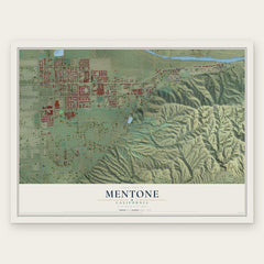
- Mentone 12" x 18" / Archival Matte Print $39.99
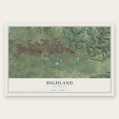
- Highland 12" x 18" / Archival Matte Print $39.99
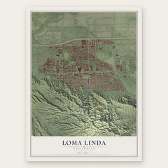
- Loma Linda 12" x 18" / Archival Matte Print $39.99
More maps nearby: Warm Springs, Yucaipa, Calimesa, Grand Terrace and Highgrove.
The art of mapping a place
How This Map Was Made
Real places. Remarkable detail. Discover the layers that turn geographic data into a map of home.

The view from above
Aerial imagery reveals the character of the land: woodland, open fields, and the patterns of a place.

The shape of the land
Elevation data brings hills, valleys, and subtle changes in the landscape into view.

The details of home
Roads, waterways, and building footprints come together to make the map feel unmistakably local.

Geography becomes art
Considered color, shading, and typography bring the layers together in a map made for your wall.


Process illustrated with Mendon, Massachusetts. Aerial imagery: USDA NAIP. Terrain: USGS 3D Elevation Program. Map details and finished artwork: KNOWOL.
The Details
About This Print
Choose an archival matte print, or a black or white Ayous wood frame. The archival matte print is unframed.
Select your size and finish above to see the matching product image and price.
Materials & Craftsmanship
A contemporary map with the character of a classic atlas, printed on archival matte paper. Optional frames are made from Ayous wood.
Your printed map does not include the watermark shown in the full-map preview.
Shipping & Delivery
Free shipping within the United States. Every print is made to order in the USA.
Buying a gift? Add a note in your cart and we'll include it. We never put prices in the package.
Prints ship within 2 to 3 business days. Allow 7 to 10 days total from ordering for delivery. Timing may vary during holidays or periods of high order volume.
Read our shipping policy.
Returns and damaged prints
Each print is made to order. Change-of-mind refunds are not available after production.
If your print arrives damaged, misprinted or incorrect, contact support@knowol.com within 30 days of receiving it. Include your order number, photos and a description of the issue.
Read our full refund and replacement policy. For questions about your order, email support@knowol.com.