
Search for another town

Free U.S. delivery 7 to 10 days after you order
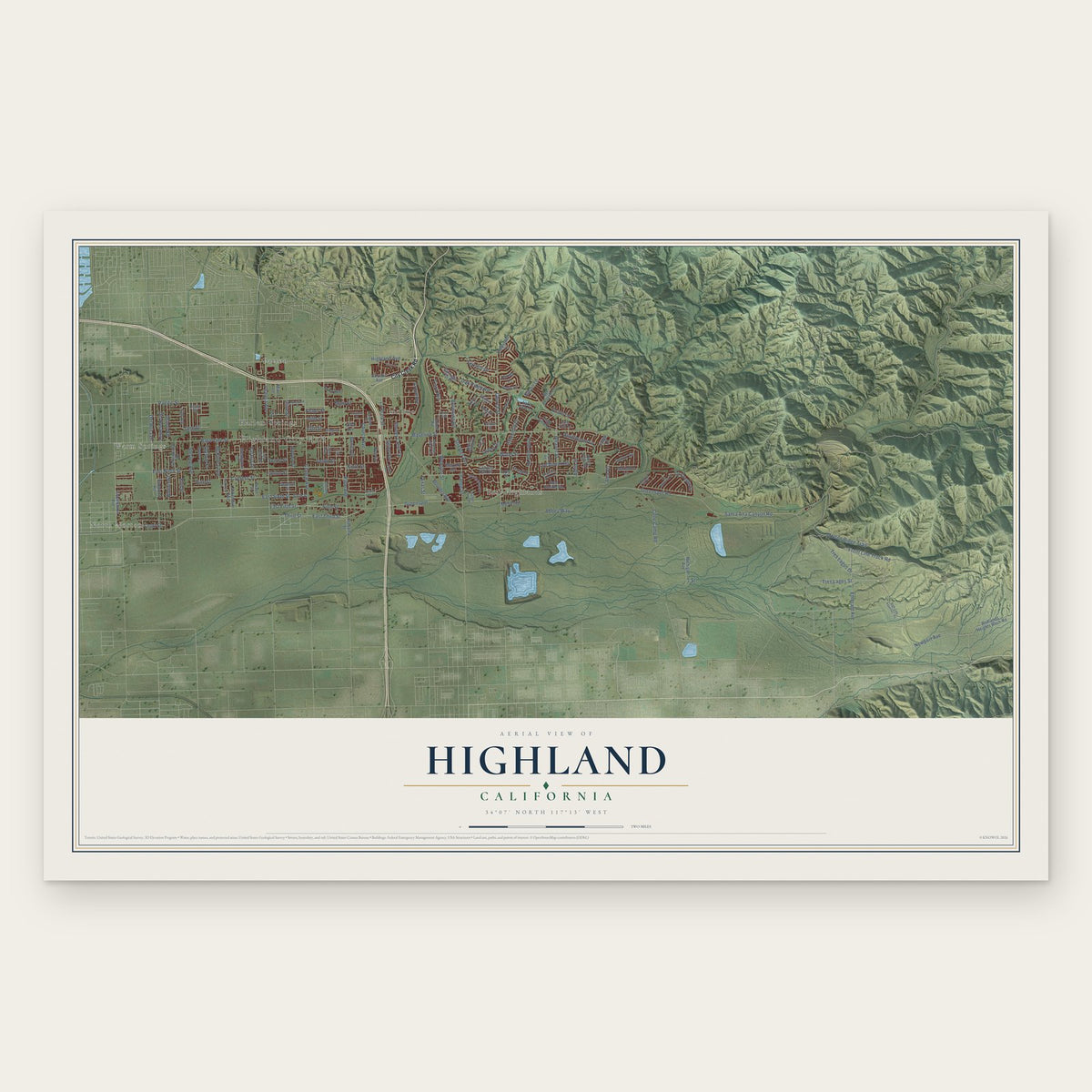
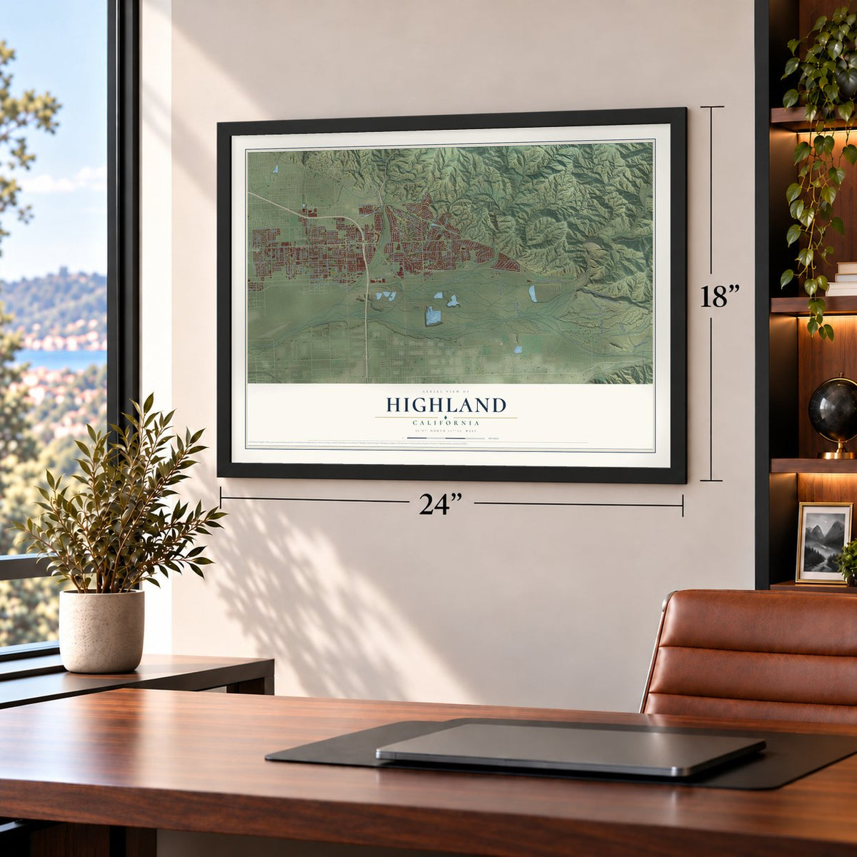
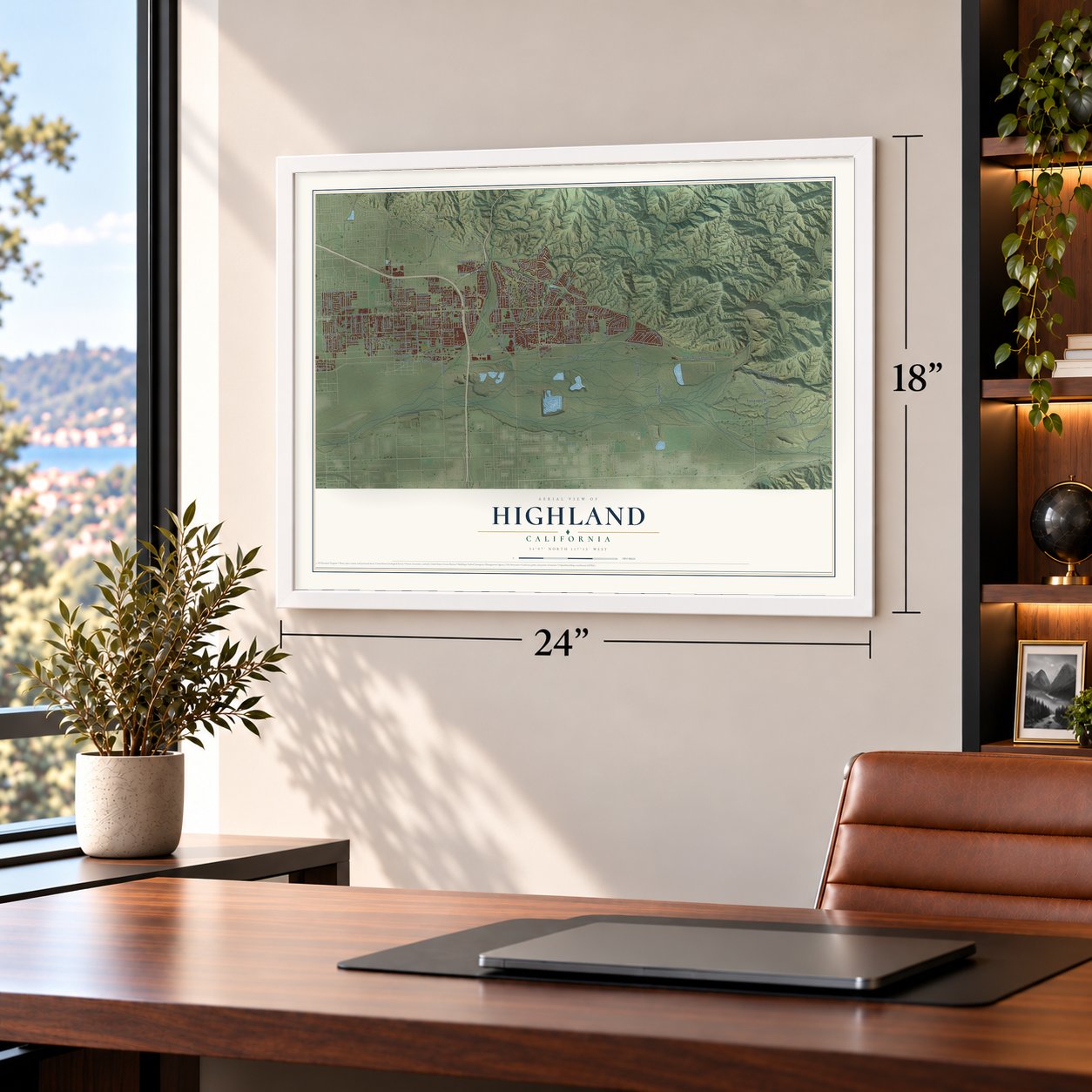
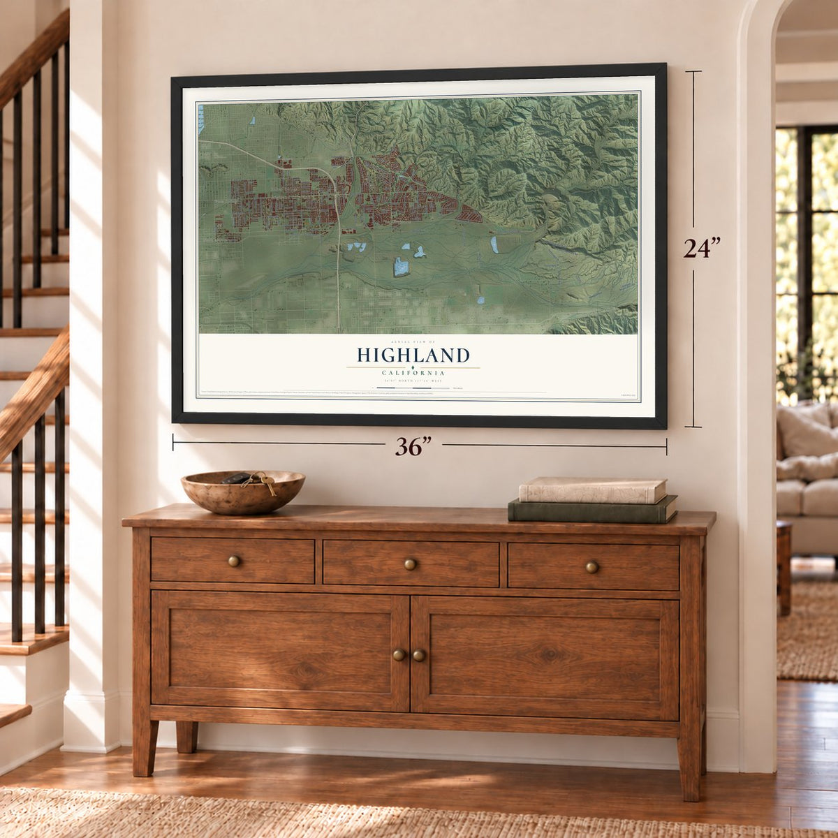
Highland, California Map Art
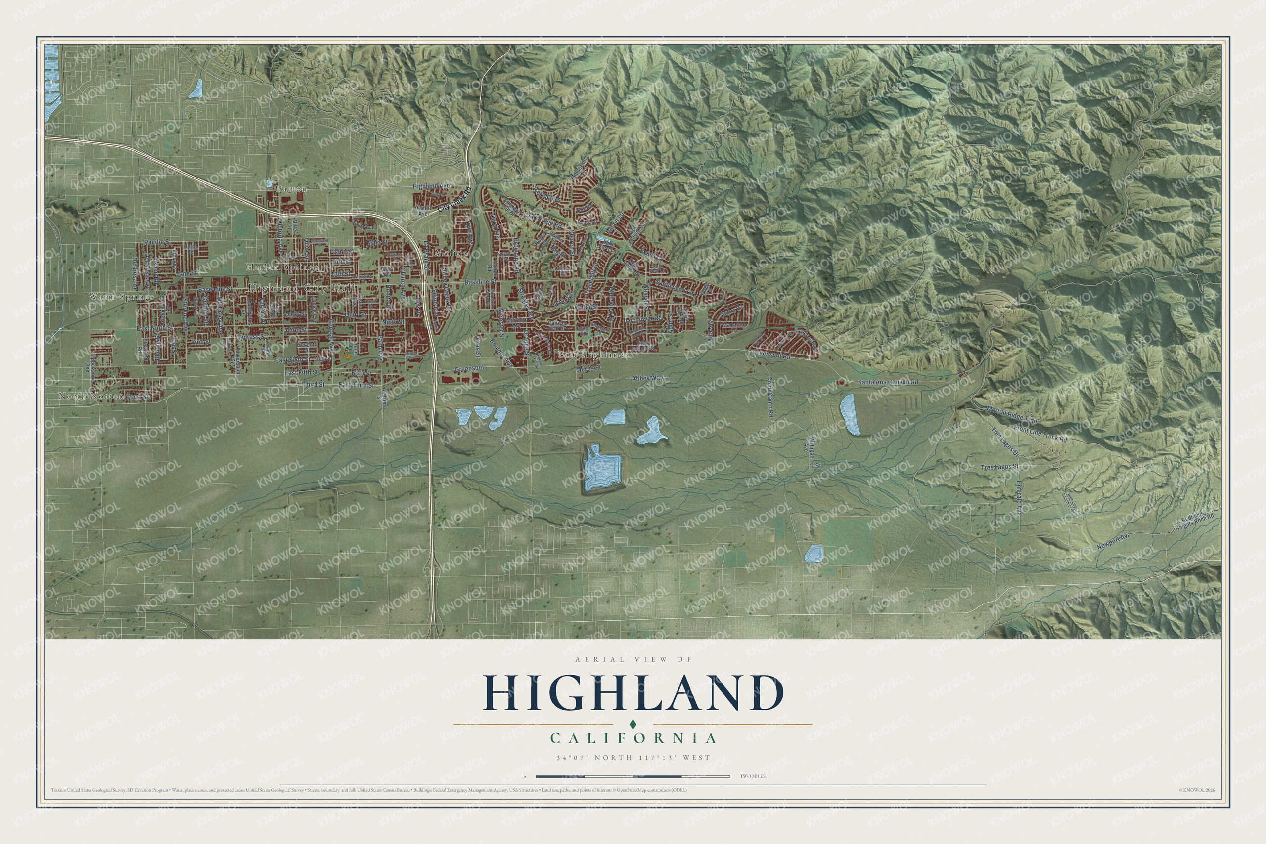
Building by building, with labeled streets and shaded relief.
12" x 18" Archival Matte Print
A Map of Home. A Work of Art.
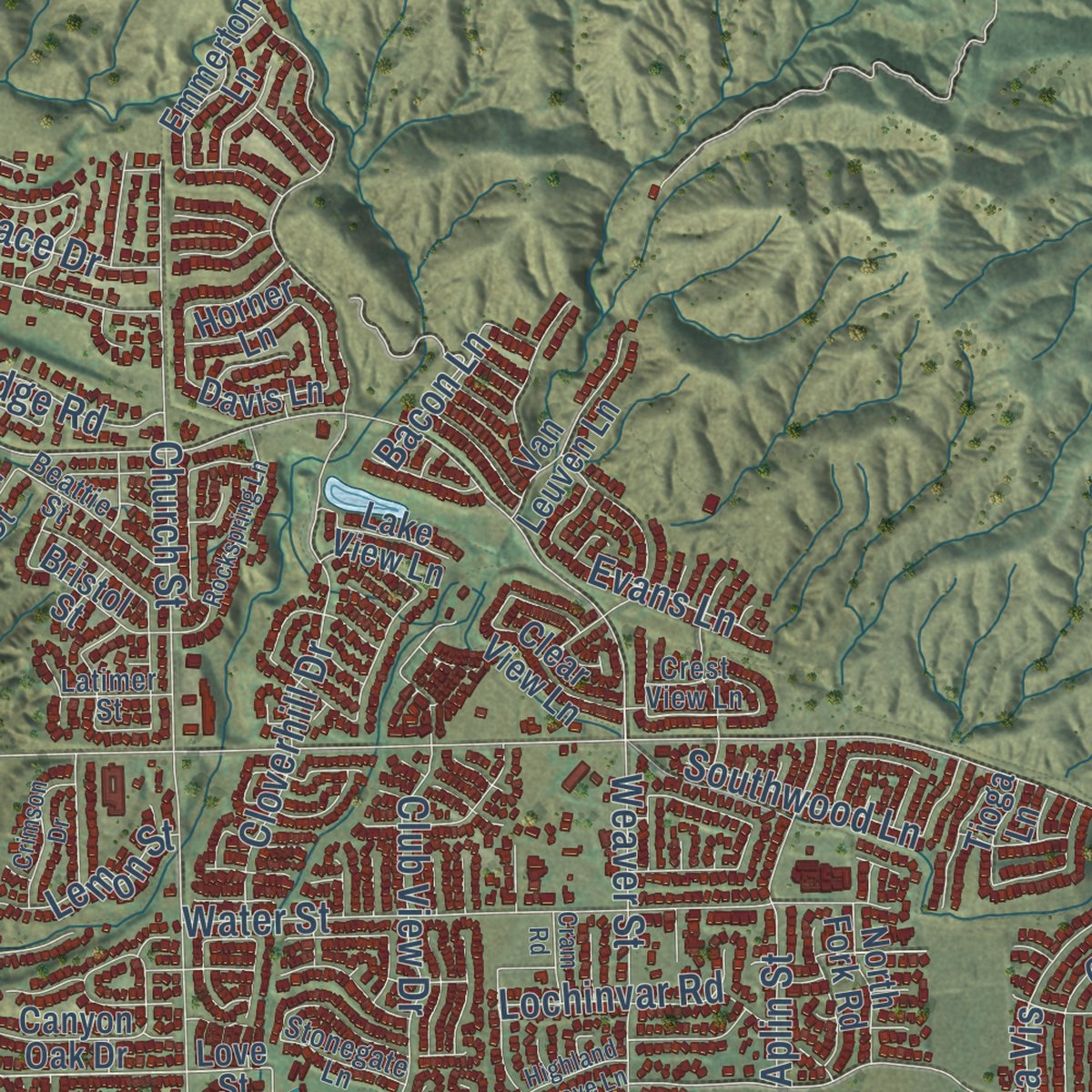
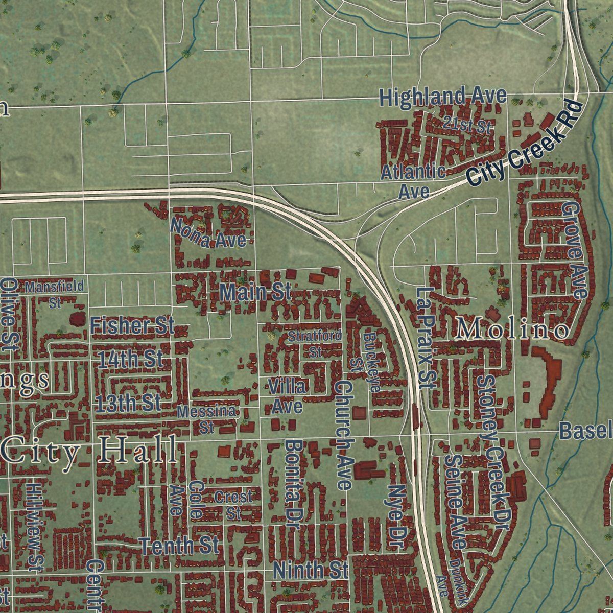
Explore Highland, California from a whole new perspective. Created using aerial imagery and detailed geographic data, this map captures Highland building by building, with labeled streets, familiar landmarks, and shaded topographical relief that highlights the natural contours of the landscape.
Combining modern data with the timeless character of a vintage atlas, this map is just as interesting up close as it is beautiful on the wall. Whether you grew up in Highland, spent memorable years there, or call it home today, this unique map is a great way to celebrate a place that means something to you. Zoom in on the preview to look for your street, and then order a print to put your memories on the wall.
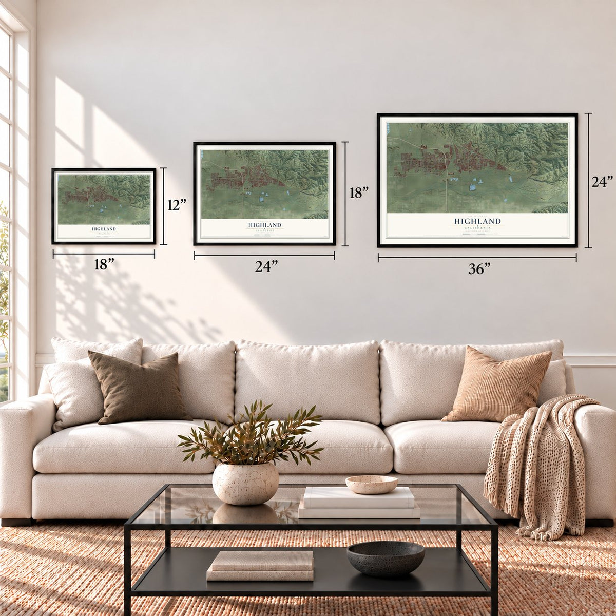
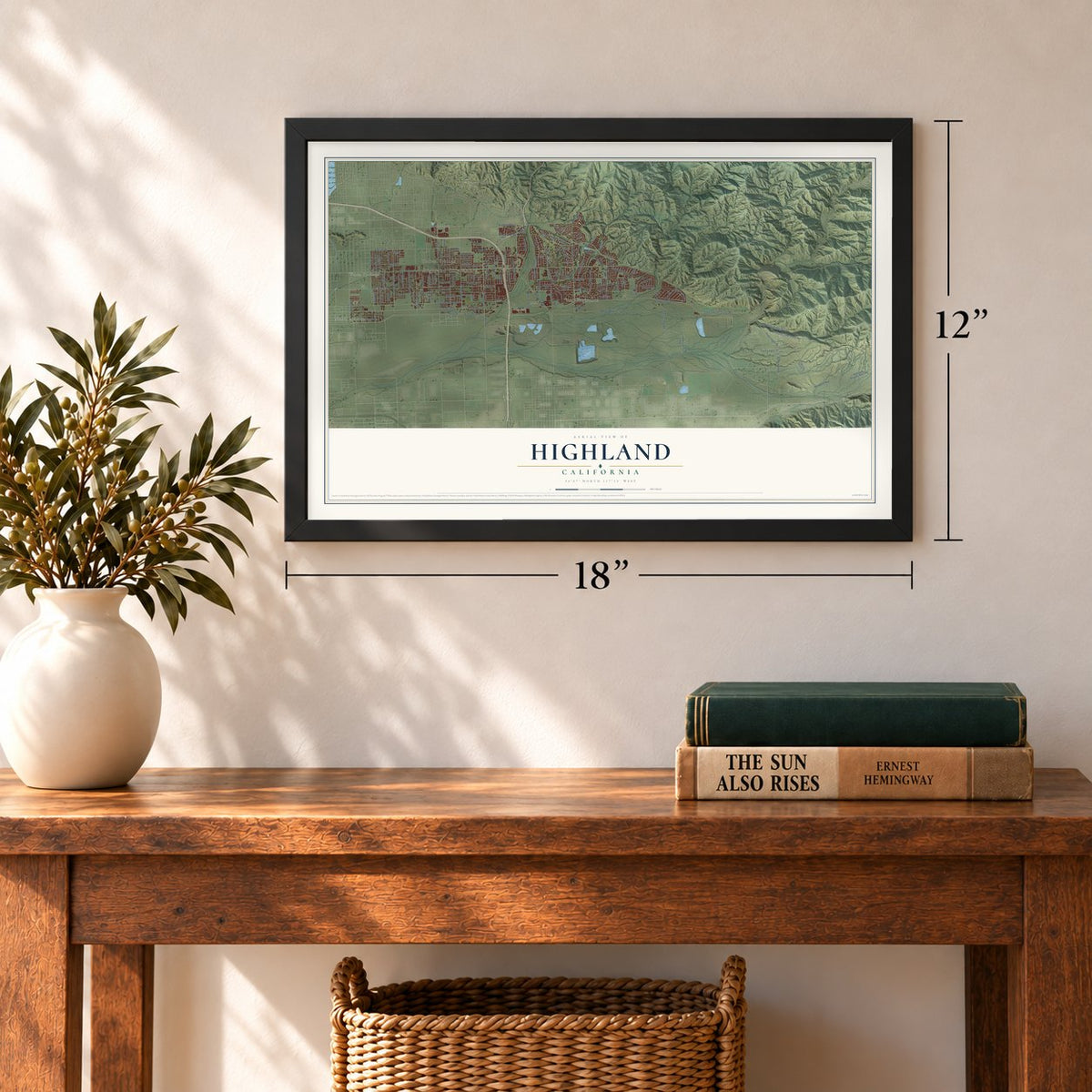
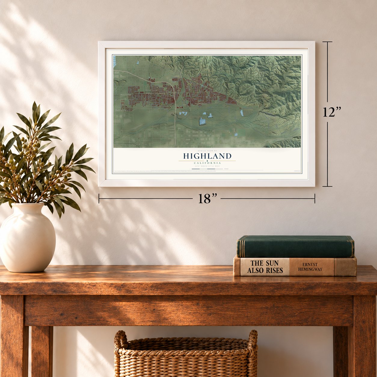
Three ways to hang it
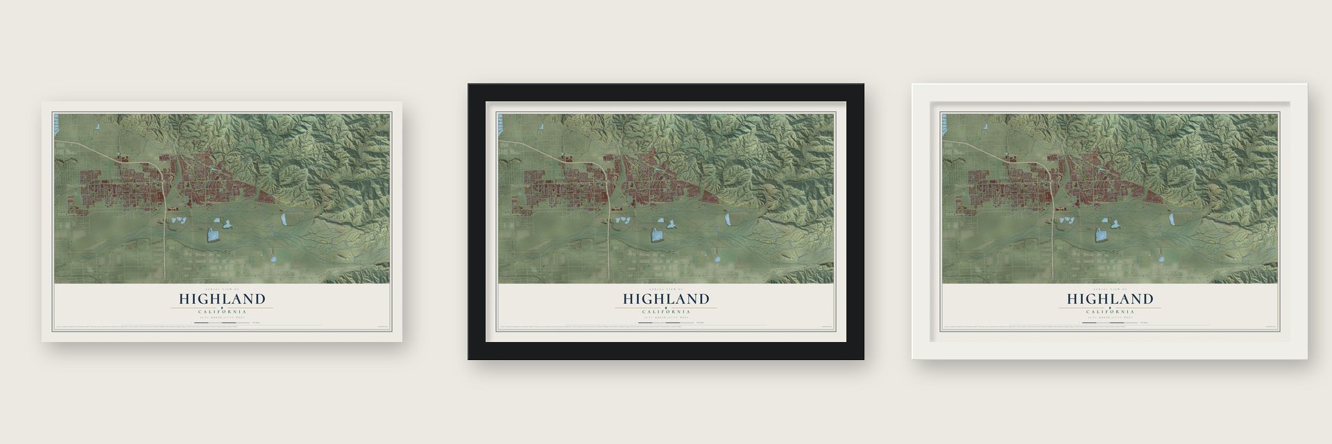
Unframed archival matte, a black wood frame or a white wood frame.
Up close
Geography Worth Displaying
This map was created using accurate cartographic data and authoritative geographic sources, including the U.S. Geological Survey and the Census Bureau. The map brings together terrain, waterways, roads, and building detail. The majority of the streets are labeled, houses are accurately depicted, and the topography is derived from government sources. Combining local data with carefully composed color and shading leads to this beautifully detailed Highland artwork for your wall.
Rather than simply showing street outlines, we’ve included as many of the street names as we could reasonably fit on the map while keeping their names legible. Zoom in on the high resolution preview to see exactly what’s on the map. We truly set out to create a statement piece for anyone who loves Highland. So whether it’s for you, or a gift for someone you love, we hope this map of Highland brings back fond memories.
Read the story behind this map of Highland, California from 2026.
Find your street
Names on the Highland map
Every name below is printed on this map. Look for your street, your school, the park where you played, or the pond down the road.
Places and landmarks7
- Highland City Hall
- North Norton
- Warm Springs
- East Highlands
- Patton
- Molino
- Harlem Springs
Streets and roads144
- Newport Avenue
- Streater Avenue
- Tres Lagos Drive
- Church Street
- Orange Street
- Tres Lagos Street
- Union Street
- Santa Ana Canyon Road
- Greenspot Road
- Baseline Street
- Fifth Street
- Highland Avenue
- East Fifth Street
- East Ninth Street
- East Sixth Street
- Pacific Street
- Base Line Street
- Boulder Avenue
- Victoria Avenue
- Cypress Street
- Cloverhill Drive
- East Third Street
- Third Street
- Palm Avenue
- Central Avenue
- Church Avenue
- Del Rosa Avenue
- Cone Camp Road
- Sterling Avenue
- Front Line Truck Road
Show all 144 streets
- 14th Street
- Fisher Street
- Water Street
- Club View Drive
- Emerald Avenue
- Vine Street
- Abbey Way
- Seine Avenue
- 13th Street
- Webster Street
- Weaver Street
- Del Rosa Drive
- Tiara Avenue
- McKinley Avenue
- Morton Ridge Trail
- La Praix Street
- Alta Vis
- Valaria Drive
- Bonnie Street
- Elm Street
- Stoney Creek Drive
- Olive Street
- Aplin Street
- La Cresta Street
- Bonita Drive
- Terrace Drive
- Browning Road
- Oak Ridge Road
- Osbun Road
- Greenspot
- Guthrie Street
- Lochinvar Road
- Tenth Street
- Jane Street
- Grove Avenue
- Southwood Lane
- Evans Lane
- Merris Street
- Main Street
- Bacon Lane
- Lemon Street
- Nye Drive
- Court Street
- Texas Street
- Ninth Street
- 1 Street
- City Creek Road
- Redlands Heights Rnch Road
- Tippecanoe Avenue
- Clear View Lane
- Atlantic Avenue
- Love Street
- Cole Avenue
- Elmwood Road
- Sixth Street
- Lankershim Avenue
- Golondrina Drive
- Seventh Street
- Villa Avenue
- Michigan Avenue
- Eucalyptus Drive
- Lillian Lane
- Byron Street
- Centro Vis
- Hillview Street
- Canyon Oak Drive
- Nona Avenue
- Gold Buckle Road
- Van Leuven Lane
- Los Feliz Drive
- North Fork Road
- Emmerton Lane
- Merridy Avenue
- Carriage Hill Drive
- Marianne Lane
- Elm Avenue
- Bristol Street
- Lake View Lane
- Yarnell Road
- Sparks Street
- Grape Street
- Alabama Street
- Davis Lane
- Miller Lane
- Horner Lane
- Tioga Lane
- Dover Court
- Messina Street
- Rogers Lane
- Buckeye Street
- Strathmore Road
- Crest View Lane
- La Monica Street
- Crest Street
- Beattie Street
- Autumn Chase Drive
- 21st Street
- Mountain Laurel Drive
- Burns Avenue
- Stonegate Lane
- Latimer Street
- High Line Aqueduct Road
- Village Lakes Road
- Stratford Street
- McKinley Street
- Mansfield Street
- Dunkirk Avenue
- Rockspring Lane
- Crimson Drive
- Alice Street
- Powell Drive
- Calle del Rio Street
- Highland Grove Lane
- Cram Road
Names are listed as they appear on the printed map. Zoom into the product photos to find them.
About Highland, California
Highland is a city of 56,999 people in San Bernardino County, at the southern foot of the San Bernardino Mountains. Henry Rabel, one of its earliest settlers, bought more than 100 acres here in 1857 and opened an 11-room hotel with bath houses, so the spot became known as Rabel Springs. A year later Lewis Cram and Frederick Van Leuven arrived and dug a ditch that carried water from the Santa Ana River to their land in East Highland.
That water made farming possible on the bench. In the early 1880s the two pioneers set out orchards of seedling oranges and other fruit, and citrus soon drove the area's growth. Highland was laid out as a townsite in 1891 and became a general law city in November 1987.
“No scene, twice seen.”
- Sweet, seedless navelsThe Southern Pacific reached the valley in 1875. In 1888 the first steam line opened, carrying riders out of the heart of San Bernardino to Highland's Harlem Springs. Packing houses for oranges and lemons rose beside the depots to ready each harvest for shipping. Highland's navel oranges won fame for being sweet and seedless at a time when many oranges were sour and ended up as marmalade.
- The Kite Loop of 1892By 1892, 166 miles of track looped around the valley in a figure eight, starting in Los Angeles and running through the Santa Ana Valley. Riders called it the Kite Loop, and pieces of its old depots survive today in both Highland and East Highland.
- Fifth Street's gold rush daysThe area's earliest road was Santa Ana Canyon Road, which ran 12 miles out from San Bernardino. Wagons used it mainly to haul supplies up to the gold mines in Bear Valley. The same route is known today as Fifth Street.
- The old townsite on Palm AvenueThe Highland Historic District on Palm Avenue covers the oldest part of the city. It takes in the original townsite, many of the packing houses that shipped the citrus crop, and the historic commercial center.
Keep exploring California
Highland is one of 1,990 California towns we've mapped. Every dot on the map is a print of its own.
The search covers every state, California first.
Near Highland
Order 2 or more town maps and save 10%. Shown in the size and finish you picked above, so they hang as a set.
- Redlands 12" x 18" / Archival Matte Print $39.99
- Mentone 12" x 18" / Archival Matte Print $39.99
- Warm Springs 12" x 18" / Archival Matte Print $39.99
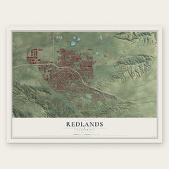
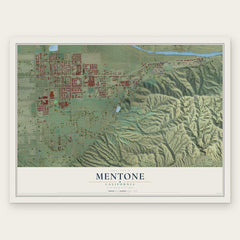
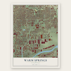
More maps nearby: Loma Linda, Running Springs, San Bernardino, Yucaipa and Lake Arrowhead.
The art of mapping a place
How This Map Was Made
Real places. Remarkable detail. Discover the layers that turn geographic data into a map of home.

The view from above
Aerial imagery reveals the character of the land: woodland, open fields, and the patterns of a place.

The shape of the land
Elevation data brings hills, valleys, and subtle changes in the landscape into view.

The details of home
Roads, waterways, and building footprints come together to make the map feel unmistakably local.

Geography becomes art
Considered color, shading, and typography bring the layers together in a map made for your wall.


Process illustrated with Mendon, Massachusetts. Aerial imagery: USDA NAIP. Terrain: USGS 3D Elevation Program. Map details and finished artwork: KNOWOL.
The Details
About This Print
Choose an archival matte print, or a black or white Ayous wood frame. The archival matte print is unframed.
Select your size and finish above to see the matching product image and price.
Materials & Craftsmanship
A contemporary map with the character of a classic atlas, printed on archival matte paper. Optional frames are made from Ayous wood.
Your printed map does not include the watermark shown in the full-map preview.
Shipping & Delivery
Free shipping within the United States. Every print is made to order in the USA.
Buying a gift? Add a note in your cart and we'll include it. We never put prices in the package.
Prints ship within 2 to 3 business days. Allow 7 to 10 days total from ordering for delivery. Timing may vary during holidays or periods of high order volume.
Read our shipping policy.
Returns and damaged prints
Each print is made to order. Change-of-mind refunds are not available after production.
If your print arrives damaged, misprinted or incorrect, contact support@knowol.com within 30 days of receiving it. Include your order number, photos and a description of the issue.
Read our full refund and replacement policy. For questions about your order, email support@knowol.com.