
Search for another town



Free U.S. delivery 7 to 10 days after you order
Columbia, South Carolina Map Art
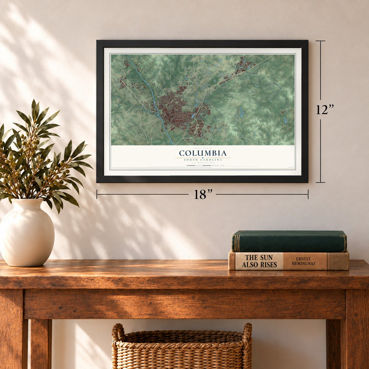
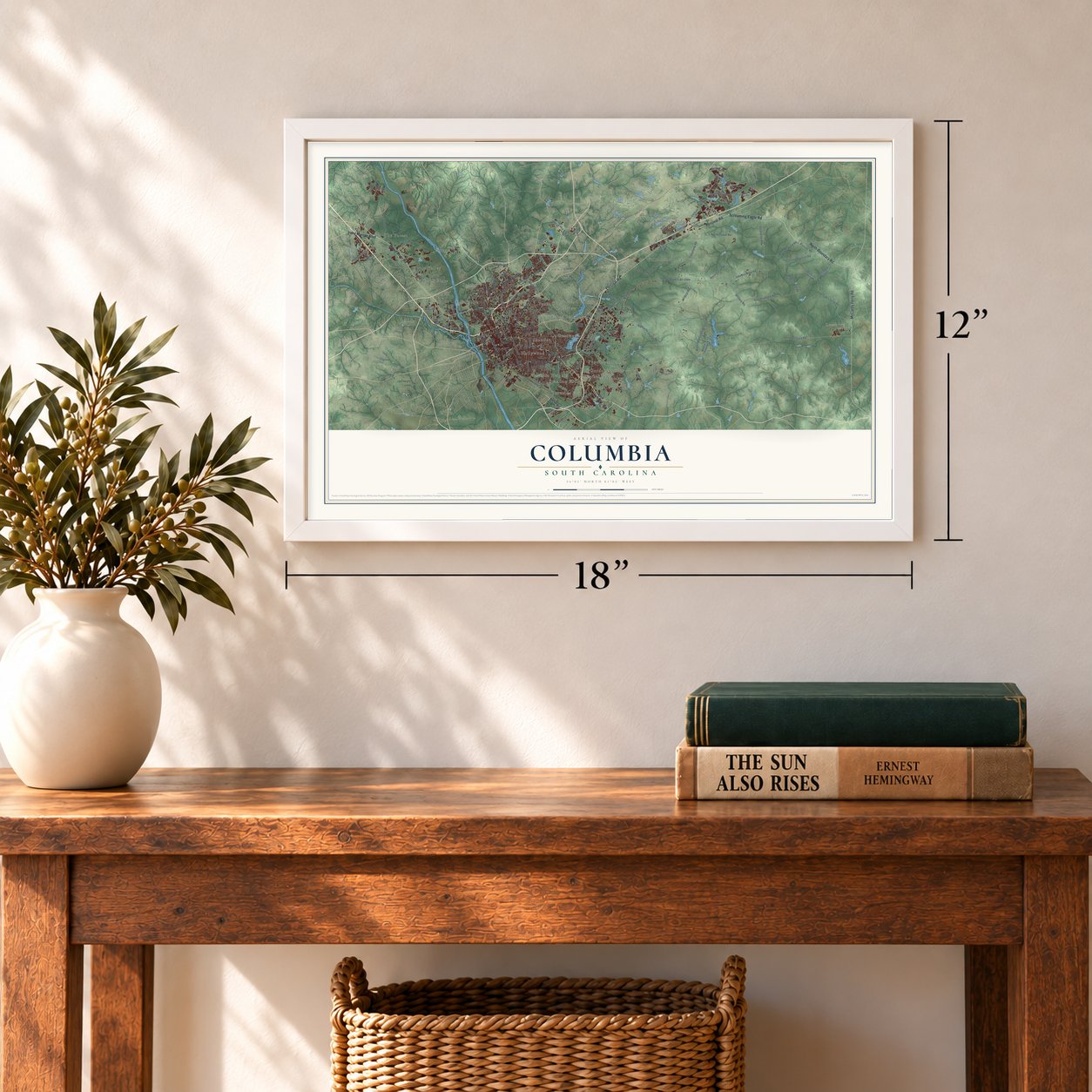
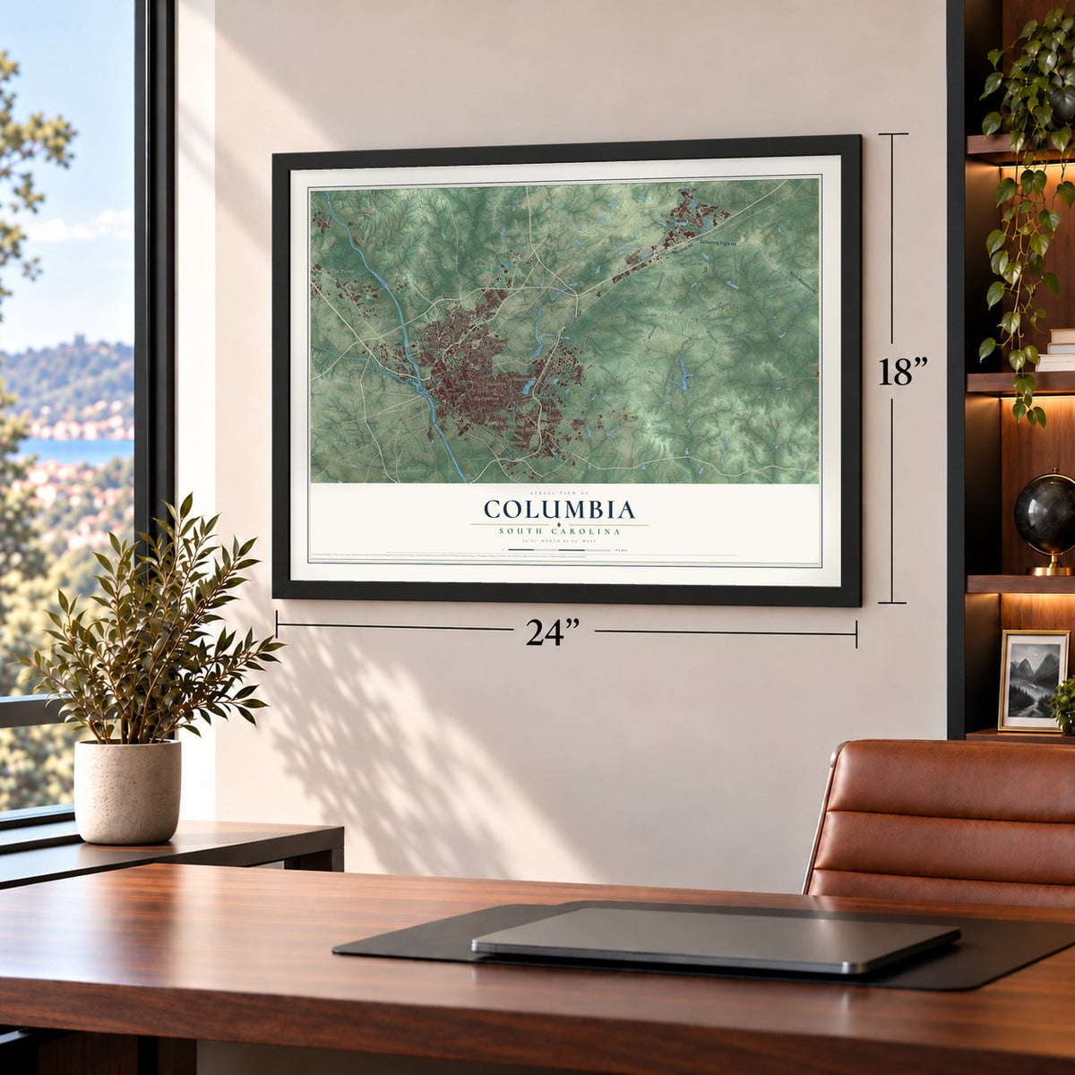
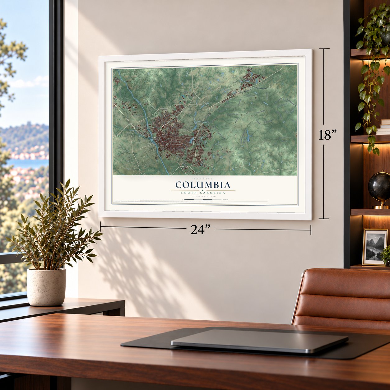
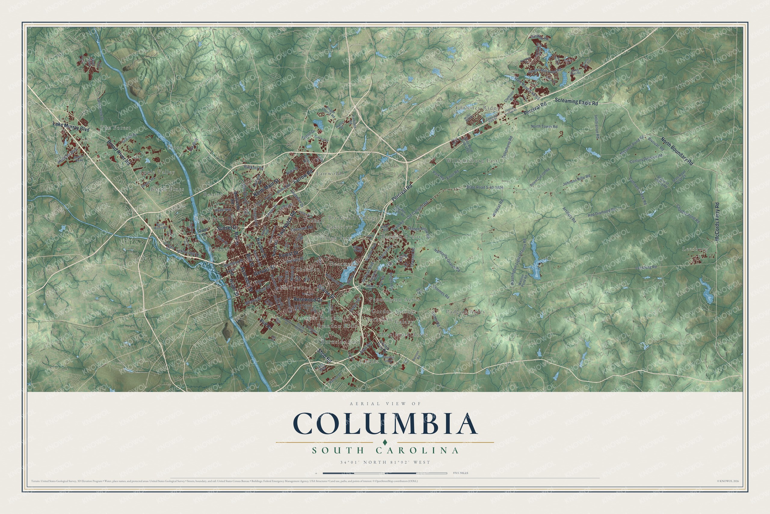
A new map of Columbia, South Carolina, made in 2026 and printed to order on thick archival matte paper.
12" x 18" Archival Matte Print
A Map of Home. A Work of Art.
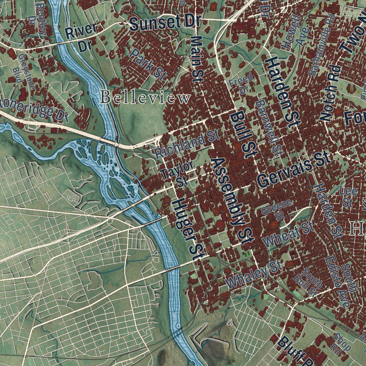
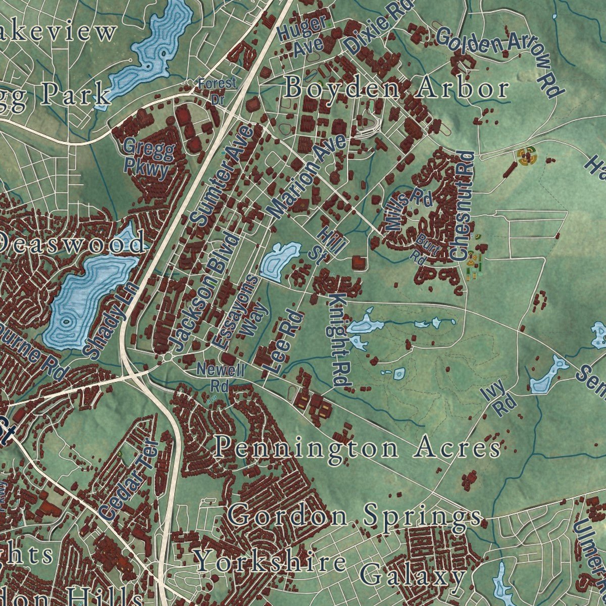
Explore Columbia, South Carolina from a whole new perspective. Created using aerial imagery and detailed geographic data, this map captures Columbia building by building, with labeled streets, familiar landmarks, and shaded topographical relief that highlights the natural contours of the landscape.
Combining modern data with the timeless character of a vintage atlas, this map is just as interesting up close as it is beautiful on the wall. Whether you grew up in Columbia, spent memorable years there, or call it home today, this unique map is a great way to celebrate a place that means something to you. Zoom in on the preview to look for your street, and then order a print to put your memories on the wall.
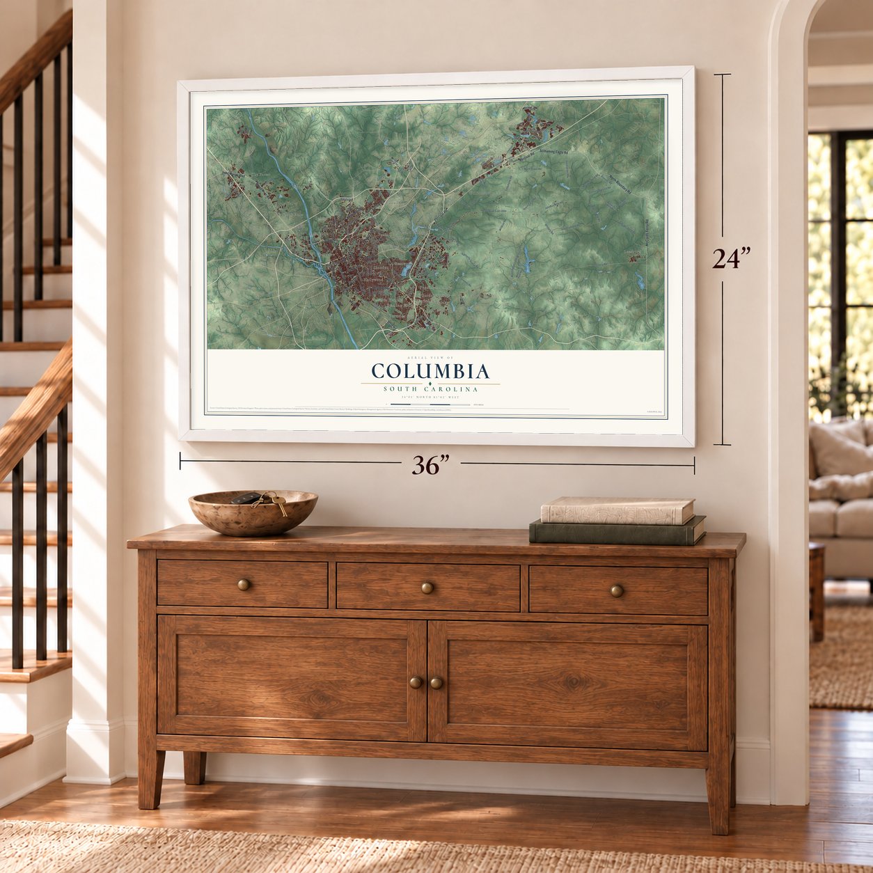
Three ways to hang it
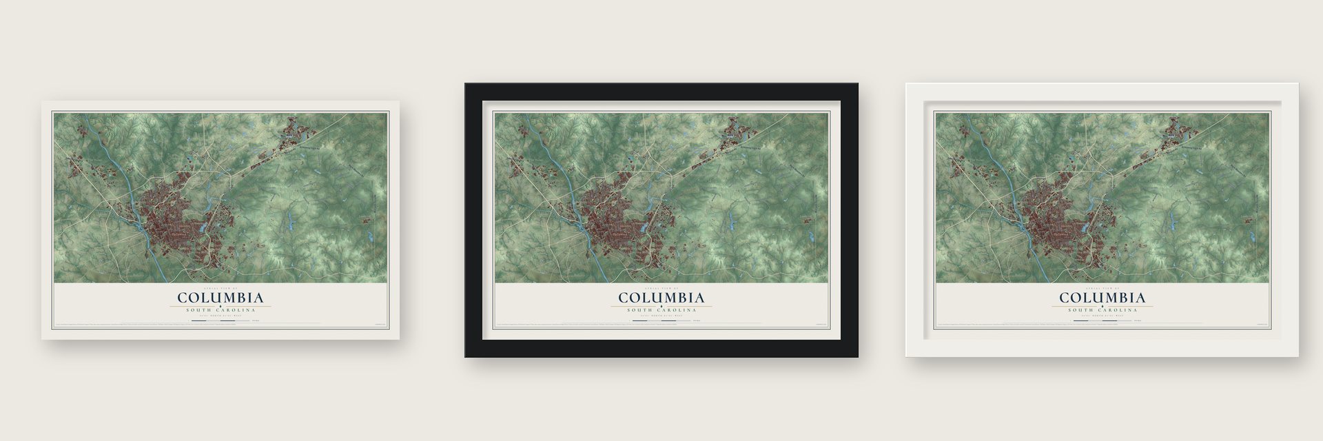
Unframed archival matte, a black wood frame or a white wood frame.
Up close
Geography Worth Displaying
This map was created using accurate cartographic data and authoritative geographic sources, including the U.S. Geological Survey and the Census Bureau. The map brings together terrain, waterways, roads, and building detail. The majority of the streets are labeled, houses are accurately depicted, and the topography is derived from government sources. Combining local data with carefully composed color and shading leads to this beautifully detailed Columbia artwork for your wall.
Rather than simply showing street outlines, we’ve included as many of the street names as we could reasonably fit on the map while keeping their names legible. Zoom in on the high resolution preview to see exactly what’s on the map. We truly set out to create a statement piece for anyone who loves Columbia. So whether it’s for you, or a gift for someone you love, we hope this map of Columbia brings back fond memories.
Read the story behind this map of Columbia, South Carolina from 2026.

About Columbia, South Carolina
Columbia is the capital of South Carolina and the seat of Richland County, a city of 136,632 people at the fall line, where the Broad and Saluda rivers meet to form the Congaree. After the Revolution, state leaders wanted a capital nearer the middle of the state than Charleston. On March 22, 1786, the General Assembly passed a bill from State Senator John Lewis Gervais that put the new capital on Taylor's Hill.
Surveyor John Guignard planned the city as a grid two miles on each side, with 400 blocks. Assembly and Senate streets were 150 feet wide, and the rest were 100 feet. Half-acre lots were sold to new residents, while the best sites were held for public buildings such as the State House. Lawmakers first met there in 1790. Columbia became a town in 1805, with John Taylor as its first intendant, and a city in 1854.
- The fire of February 1865General William T. Sherman's Union Army took Columbia on February 17, 1865, and fire destroyed much of the city over that night and the next day. Modern historians say Sherman did not order the burning. During Reconstruction the city rebuilt its business district and repaired its railroads.
- Secession began hereThe first Southern secession convention gathered at First Baptist Church on December 17, 1860. An outbreak of smallpox sent the delegates to Charleston, and there South Carolina became the first state to leave the Union on December 20. The church is now on the National Register.
- An electric mill in 1894Columbia Mills opened in 1894 as the first textile mill in the world to run on electricity. Columbia grew into a major textile city, and the old mill later became home to the South Carolina State Museum. The Columbia Mills Building is on the National Register.
- A college since 1801The school that grew into the University of South Carolina opened in 1801 as South Carolina College. The state hoped it would draw the Upcountry and Lowcountry closer after the Revolution. During the Civil War, almost all of its students joined the Confederate Army, and its grounds became a military hospital.
- Camp Jackson in 1917The U.S. Army opened Camp Jackson here in 1917 to train soldiers for World War I. It came back as Fort Jackson in 1940, and today it is the Army's largest basic combat training post. During World War II, the men of Jimmy Doolittle's raid prepared for their mission at the field that is now Columbia Metropolitan Airport.
Find your street
Names on the Columbia map
Every name below is printed on this map. Look for your street, your school, the park where you played, or the pond down the road.
Places and landmarks29
- Apple Valley
- Barony
- Belleview
- Boyden Arbor
- Brandon Hills
- Brickyard Village
- Brook Pines
- Burnside East
- Childs
- Chimney Ridge
- Deaswood
- Eau Claire
Show all 29 places
- Fairwold
- Foxhall
- Frost
- Galaxy
- Gordon Springs
- Gregg Park
- Hazelwood Acres
- Hollywood
- Lakeview
- Leesburg
- Padgett Acres
- Pennington Acres
- Shandon
- The Forest
- Valencia Heights
- Williamsburg East
- Yorkshire
Streets and roads163
- Percival Road
- North Main Street
- Assembly Street
- Rosewood Drive
- Shop Road
- Two Notch Road
- Devine Street
- Gervais Street
- Bull Street
- Forest Drive
- Huger Street
- Sunset Drive
- Farrow Road
- Harden Street
- Screaming Eagle Road
- North Boundary Road
- Broad River Road
- McCords Ferry Road
- Lake Murray Boulevard
- Wildcat Road
- Marion Avenue
- Richland Street
- Buckner Road
- Harbison Boulevard
- Colonial Drive
- Faison Drive
- Leesburg Road
- Johnson Rifle Road
- Old Camden Road
- State Road S-40-1904
Show all 163 streets
- Century Division Road
- Telephone Road
- Colonels Creek Road
- Artillery Road
- North Tower Road
- Red Diamond Road
- Jacobs Mill Pond Road
- Hartsville Guards Road
- Semmes Road
- Lost Creek Drive
- Washington Light Infantry Road
- Wheat Street
- Park Street
- Jackson Boulevard
- Lee Road
- Kilbourne Road
- Atlas Road
- Messers Pond Road
- Sumter Avenue
- Dixie Road
- Chauers Pond Road
- Golden Arrow Road
- Shady Lane
- Infiltration Road
- Chesnut Road
- State Road S-40-53
- Bivouac Road
- Covenant Road
- Maple Street
- Whaley Street
- Enon Road
- King Street
- Park Road
- The Boulevard
- Cushman Drive
- Duke Avenue
- Lester Drive
- Stoneridge Drive
- Sundew Road
- Knight Road
- Ulmer Road
- Cedar Terrace
- Ames Road
- Dale Drive
- Alida Street
- Notch Road
- Bluff Road
- Monticello Road
- Main Street
- River Drive
- State Road S-40-1795
- South Ott Road
- Shivers Road
- Barnwell Street
- Clemson Road
- Geology Road
- Statue of Liberty Road
- State Road S-40-25
- Bush River Road
- Salem Cut-Off Road
- Truman Street
- Easter Street
- Gracern Road
- Hill Street
- Boyden Arbor Road
- Pisgah Church Road
- Council Loop
- South Edisto Avenue
- Bower Parkway
- Ivy Road
- Howard Street
- Parklane Road
- Mills Road
- Weston Pond Road
- Harlem Street
- Elm Avenue
- Lee Street
- Craig Road
- Hinton Street
- Essayons Way
- Gregg Parkway
- Benson Road
- Howell Avenue
- Cindy Drive
- Huger Avenue
- Bluff Point
- Garners Ferry Road
- Taylor Street
- Fairfield Road
- Newell Road
- Woodcreek Farms Road
- Greene Street
- Beckman Drive
- Barhamville Road
- Lorick Avenue
- Adger Road
- Mallet Hill Road
- Sims Avenue
- Suber Street
- Corporate Park Drive
- Carter Street
- Deer Park Drive
- County Line Trail
- South Bull Street
- Bentley Drive
- Hyatt Avenue
- Plowden Road
- Sandy Oaks Road
- York Drive
- James Street
- Freed Drive
- Silo Court
- Veterans Road
- Monroe Street
- Palmetto Avenue
- Greystone Boulevard
- Redbay Road
- Beechfern Circle
- Andrews Road
- Gauley Drive
- Belmont Drive
- Clemson Frontage Road
- Pinehurst Road
- Gills Creek Parkway
- Allans Mill Drive
- Harvard Avenue
- Heaths Lane
- Pond Oak Lane
- Averyt Avenue
- Mauldin Avenue
- Burt Road
- Ludlow Lane
- Sysco Court
Names are listed as they appear on the printed map. Zoom into the product photos to find them.
The art of mapping a place
How This Map Was Made
Real places. Remarkable detail. Discover the layers that turn geographic data into a map of home.

The view from above
Aerial imagery reveals the character of the land: woodland, open fields, and the patterns of a place.

The shape of the land
Elevation data brings hills, valleys, and subtle changes in the landscape into view.

The details of home
Roads, waterways, and building footprints come together to make the map feel unmistakably local.

Geography becomes art
Considered color, shading, and typography bring the layers together in a map made for your wall.


Process illustrated with Mendon, Massachusetts. Aerial imagery: USDA NAIP. Terrain: USGS 3D Elevation Program. Map details and finished artwork: KNOWOL.
The Details
About This Print
Choose an archival matte print, or a black or white Ayous wood frame. The archival matte print is unframed.
Select your size and finish above to see the matching product image and price.
Materials & Craftsmanship
A contemporary map with the character of a classic atlas, printed on archival matte paper. Optional frames are made from Ayous wood.
Your printed map does not include the watermark shown in the full-map preview.
Shipping & Delivery
Free shipping within the United States. Every print is made to order in the USA.
Buying a gift? Add a note in your cart and we'll include it. We never put prices in the package.
Prints ship within 2 to 3 business days. Allow 7 to 10 days total from ordering for delivery. Timing may vary during holidays or periods of high order volume.
Read our shipping policy.
Returns and damaged prints
Each print is made to order. Change-of-mind refunds are not available after production.
If your print arrives damaged, misprinted or incorrect, contact support@knowol.com within 30 days of receiving it. Include your order number, photos and a description of the issue.
Read our full refund and replacement policy. For questions about your order, email support@knowol.com.
Find your town
Looking for another city?
Find a map of home in our South Carolina collection, or any town in the country.
Nearby
Maps of towns near Columbia
Know someone from one of these towns? Their map makes a great gift.
 Woodfield
, South Carolina
From $39.99See the map
 Arcadia Lakes
, South Carolina
From $39.99See the map
 Dentsville
, South Carolina
From $39.99See the map
More maps nearby: Forest Acres, Capitol View, Arthurtown, Olympia and Cayce.