
Search for another town


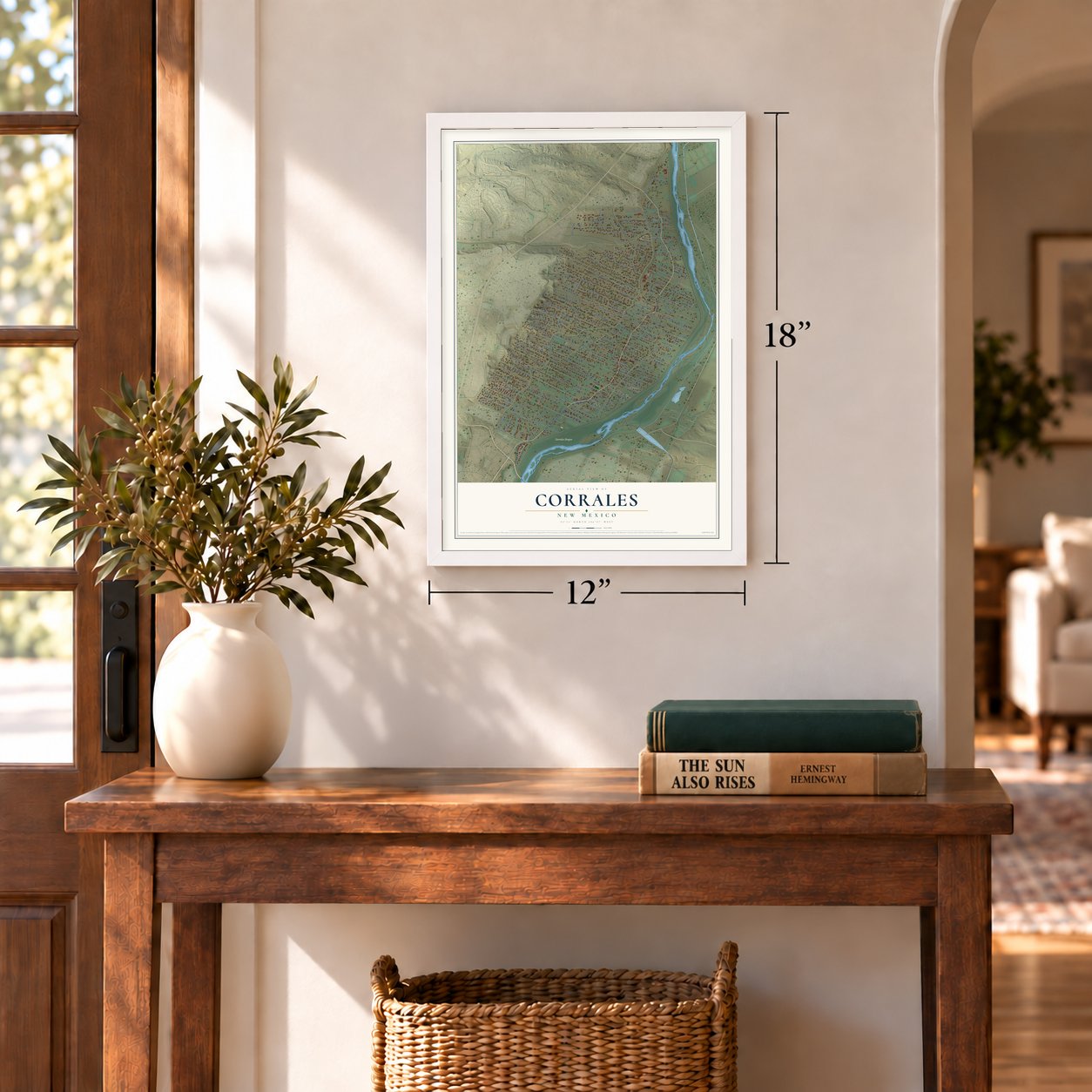

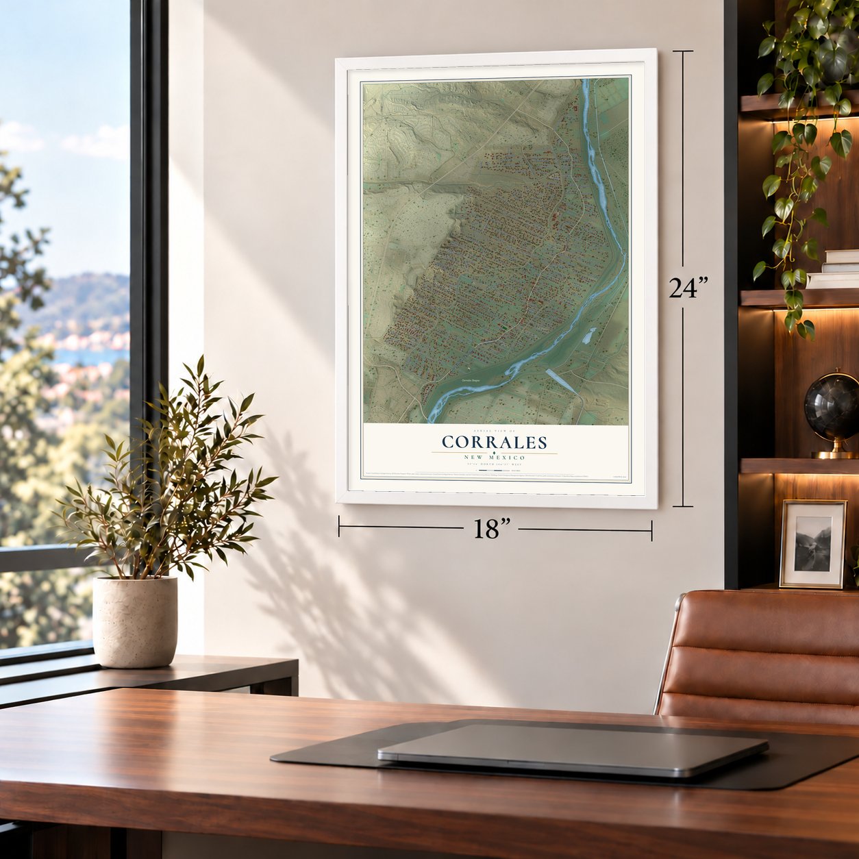

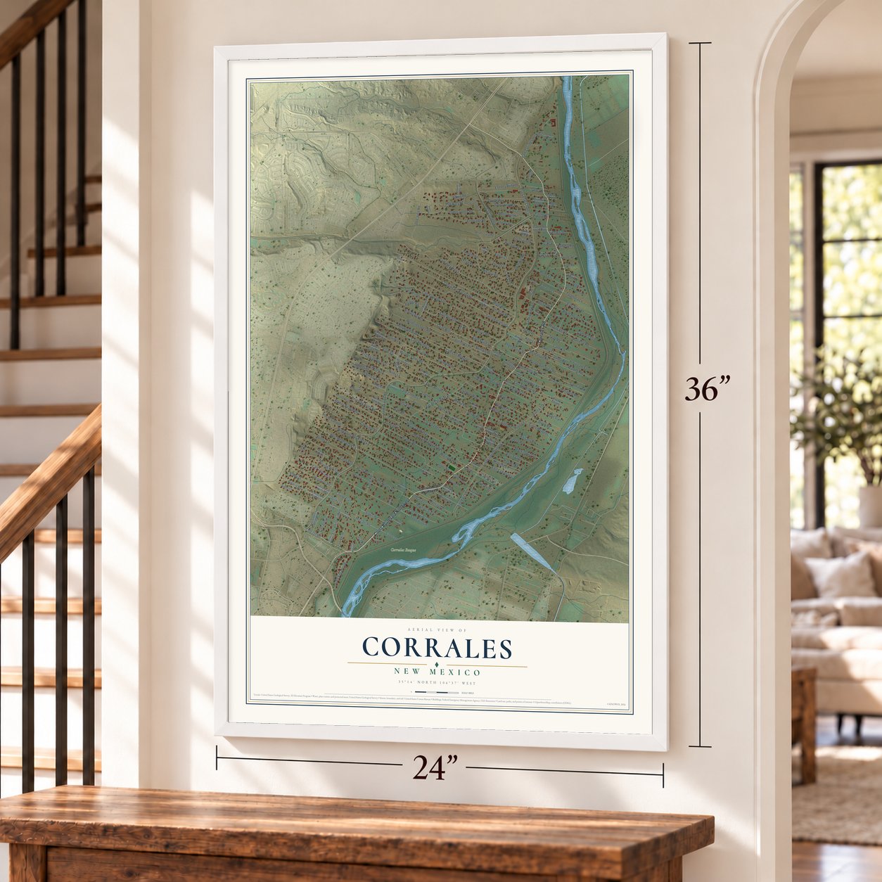

Free U.S. delivery 7 to 10 days after you order
Corrales, New Mexico Map Art
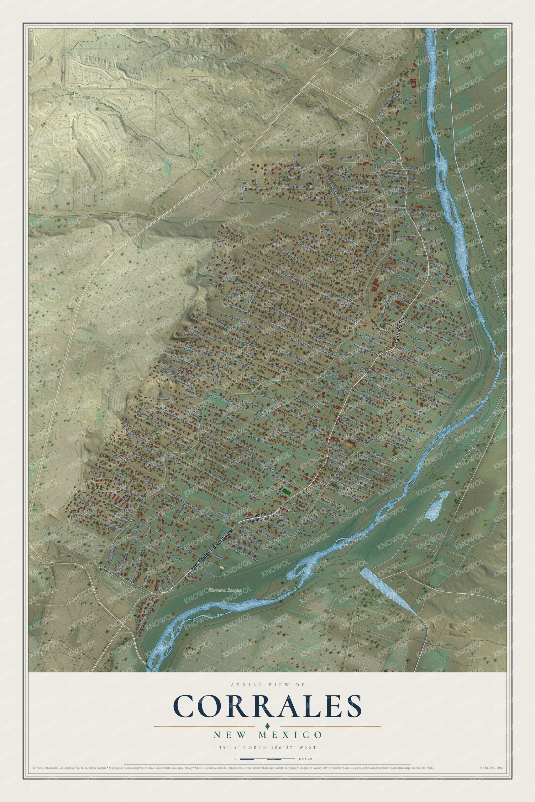
A new map of Corrales, New Mexico, made in 2026 and printed to order on thick archival matte paper.
12" x 18" Archival Matte Print
A Map of Home. A Work of Art.
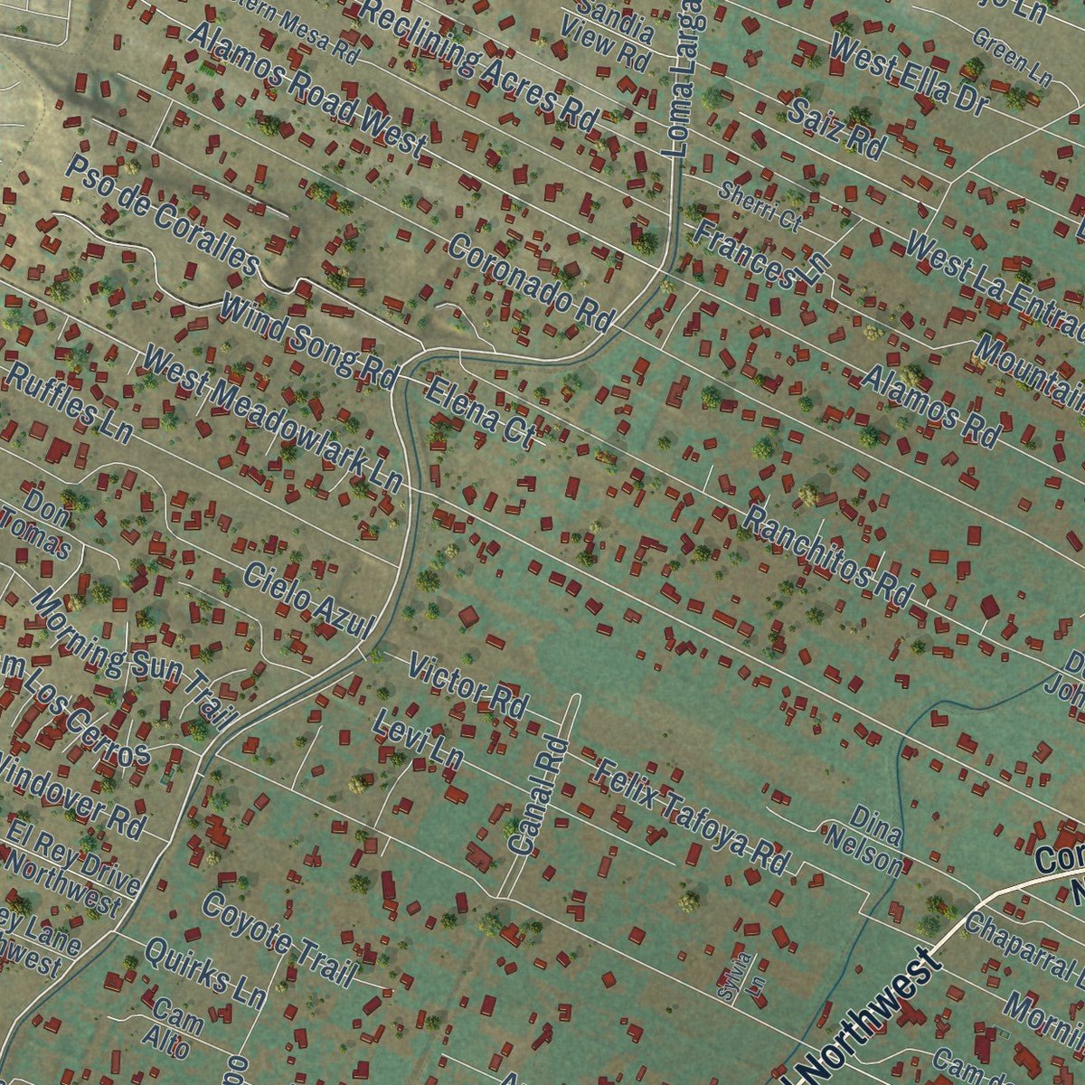
Explore Corrales, New Mexico from a whole new perspective. Created using aerial imagery and detailed geographic data, this map captures Corrales building by building, with labeled streets, familiar landmarks, and shaded topographical relief that highlights the natural contours of the landscape.
Combining modern data with the timeless character of a vintage atlas, this map is just as interesting up close as it is beautiful on the wall. Whether you grew up in Corrales, spent memorable years there, or call it home today, this unique map is a great way to celebrate a place that means something to you. Zoom in on the preview to look for your street, and then order a print to put your memories on the wall.
Three ways to hang it
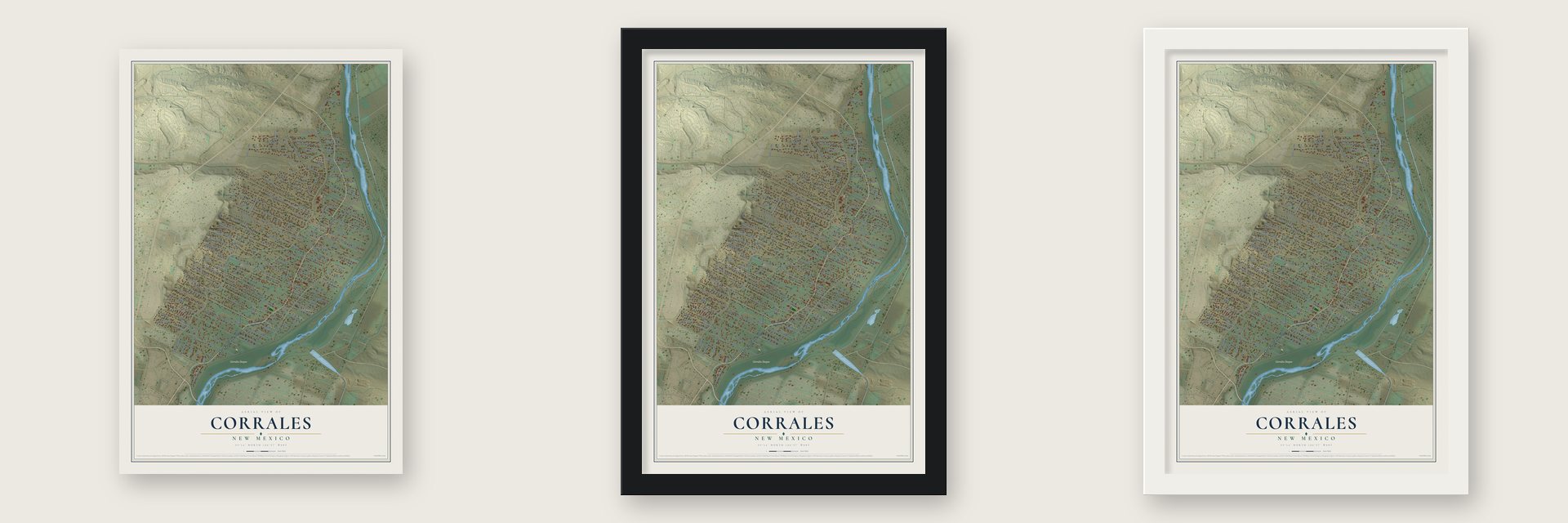
Unframed archival matte, a black wood frame or a white wood frame.
Up close
Geography Worth Displaying
This map was created using accurate cartographic data and authoritative geographic sources, including the U.S. Geological Survey and the Census Bureau. The map brings together terrain, waterways, roads, and building detail. The majority of the streets are labeled, houses are accurately depicted, and the topography is derived from government sources. Combining local data with carefully composed color and shading leads to this beautifully detailed Corrales artwork for your wall.
Rather than simply showing street outlines, we’ve included as many of the street names as we could reasonably fit on the map while keeping their names legible. Zoom in on the high resolution preview to see exactly what’s on the map. We truly set out to create a statement piece for anyone who loves Corrales. So whether it’s for you, or a gift for someone you love, we hope this map of Corrales brings back fond memories.
Read the story behind this map of Corrales, New Mexico from 2026.

About Corrales, New Mexico
From the New Mexico Tourism Department: "To cross the borders into Corrales is to step into another time and place where the stresses of twenty-first century life give way to the grace and pace of another era. Casa San Ysidro, a restoration/recreation of an adobe home built in the 1870’s provides you with a glimpse of life in old New Mexico."
Find your street
Names on the Corrales map
Every name below is printed on this map. Look for your street, your school, the park where you played, or the pond down the road.
Places and landmarks1
- Corrales Bosque
Streets and roads239
- Corrales Road
- Coors Boulevard Northwest
- Loma Larga Road
- Cabezon Road
- Cam Hermosa
- West Meadowlark Lane
- Mission Valley Road
- Hollywood Boulevard
- Sagebrush Drive
- West La Entrada
- West Ella Drive
- Coronado Road
- Angel Road
- Tierra Encantada
- Cam Rayo del Sol
- Cam de la Tierra
- Alamos Road
- Perfecto Lopez Road
- Ent de Las Animas
- Camino Sin Pasada Road
- Blas Griego Road
- Cll de Blas
- Applewood Road
- Cam Los Milagros
- Sage Brush Lane
- Cam de Lucia
- Cll Contenta
- Sanchez Road
- El Camino Arco Iris
- Pso Cesar Chavez
Show all 239 streets
- Dixon Road
- Grace Lane
- Ranchitos Road
- Andrews Lane
- Gutierrez Road
- Mountain Shadows Road
- Paseo Dulcelina Road
- Guadalupe Road
- Hansen Road
- Mariquita Road
- East Valverde Road
- Walden Road
- Nicky Lane
- Todos Juntos Road
- Barnard Road
- Rincon Road
- Don Julio Road
- Alamos Road West
- Candi Lane
- Davey Road
- El Dorado Road
- Carey Road
- Manierre Road
- Cielo Azul
- Reclining Acres Road
- Albino Road
- Cam Corrales del Norte
- East Ella Drive
- Lindero del Drenaje
- Cam Los Cerros
- Mikaela Road
- Pauline Road
- Maestas Lane
- Ruffles Lane
- El Rey Drive
- Windover Road
- El Camino Campo
- Calle Conejo Lane
- Moongate Road
- East La Entrada
- Pso de Coralles
- Coyote Run
- Mockingbird Lane
- Montano Lane
- Felix Tafoya Road
- Price Lane
- Chimaja Road
- Wind Song Road
- Morning Star Lane
- Richard Road
- White Horse Lane
- Penny Lane
- Anya Road
- Priestly Road
- Huff Road
- Schmidt Road
- Morning Sun Trail
- Estrella Brillante
- Cam Vega Verde
- East Alary Lane
- Orchard Lane
- Valle Vis
- Rome Lane
- Sierra Vista Road
- Cinco Milagros
- Wagner Lane
- Pedroncelli Road
- Trosello Lane
- Quail Trail
- Cam del Sol
- Las Paredes
- Knott Lane
- Olguin Road
- Toad Road
- Aaramar Lane
- Kent Lane
- Romero Road
- Target Road
- Trujillo Lane
- Doolittle Road
- Mira Sol Road
- Paisano Road
- Savannah Lane
- Angus Road
- Saiz Road
- Canal Road
- Sandia View Lane
- Mesa Vista Lane
- Tenorio Road
- Sereno Road
- Maritnez Road
- Yucca Trail
- Targhetta Lane
- Angelo Luigi Road
- Cmt Alegre
- Palacio Road
- Cll Bonita
- Pso Trinidad
- Stella Lane
- Cam Bajada
- Freedom Way
- Frances Lane
- C'De Baca Road
- Kings Lane
- Perea Road
- Jones Road
- Coyote Trail
- Mama Road
- Victor Road
- Sandy Lane
- Uva Road
- Sego Lane
- Levi Lane
- Cam Verde
- Trujillo Drive
- Quirks Lane
- Elena Court
- Kiersti Court
- Lipe Road
- Corrales Road Northwest
- Pso Tomas Montoya
- Cam Todos Los Santos
- Santa Maria
- John Black Road
- Villa de Paz
- Cll Blanca North
- Valle Vista Road
- Armijo Lane East
- East Meadowlark Lane
- Cll Conejo
- Ashley Lane Northwest
- Cam de Las Brisas
- Chaparral Lane
- Armijo Lane West
- Mission Ridge Road
- Ruperts Lane
- Via Oreada
- Ent de Martinez
- Cll Blanca South
- Los Manzanos Road
- Loma del Oro
- Los Arboles Verde Road
- Thanes Way
- Desert Luna Road
- West Valverde Road
- Ashley Lane
- Tayne Lane
- Targhetta Road
- Dina Nelson
- Conrad Gonzales
- La Pasada de Anacleto
- Benscics Road
- Devon John Lane
- Mountain View Lane
- Laura Lane
- Lujo de Tres
- Sherlock Court
- Turner Court
- Dancing Horse Lane
- Bennett Lane
- Mocking Bird Lane
- Coroval Road
- El Rey Drive Northwest
- Cam Alto
- Griego Road
- Don Quijote Court
- Bessom Lane
- Carty's Lane
- Sandia View Road
- Pso de Lovato
- Quiet Lane
- Skylark Lane
- De Silva Trail
- Chaves Lane
- Don Tomas
- Keira Court
- Lujan Court
- Maes Road
- Via Faisan
- Ida Court
- Tierra de Corrales Road
- Western Mesa Road
- Cam Campo
- Cam de Claudio
- Green Lane
- Rancho Alondra Road
- Sherri Court
- East Rachel Lane
- Faculty Lane
- Old School House Road
- Reed Lane
- Hop Tree Trail
- Laker Drive
- Coyote Canta Road
- Stevie Rays Way
- Abbey Road
- Starline Road
- Cam de Maya
- Trosello Road
- Perea Lane
- Cam del Oro
- Arabian Lane
- Kings Road
- Manzano Road
- Desert Willow Road
- Cam de la Paloma
- August Mader Road
- Cadillo Lane
- Sylvia Lane
Names are listed as they appear on the printed map. Zoom into the product photos to find them.
The art of mapping a place
How This Map Was Made
Real places. Remarkable detail. Discover the layers that turn geographic data into a map of home.

The view from above
Aerial imagery reveals the character of the land: woodland, open fields, and the patterns of a place.

The shape of the land
Elevation data brings hills, valleys, and subtle changes in the landscape into view.

The details of home
Roads, waterways, and building footprints come together to make the map feel unmistakably local.

Geography becomes art
Considered color, shading, and typography bring the layers together in a map made for your wall.


Process illustrated with Mendon, Massachusetts. Aerial imagery: USDA NAIP. Terrain: USGS 3D Elevation Program. Map details and finished artwork: KNOWOL.
The Details
About This Print
Choose an archival matte print, or a black or white Ayous wood frame. The archival matte print is unframed.
Select your size and finish above to see the matching product image and price.
Materials & Craftsmanship
A contemporary map with the character of a classic atlas, printed on archival matte paper. Optional frames are made from Ayous wood.
Your printed map does not include the watermark shown in the full-map preview.
Shipping & Delivery
Free shipping within the United States. Every print is made to order in the USA.
Buying a gift? Add a note in your cart and we'll include it. We never put prices in the package.
Prints ship within 2 to 3 business days. Allow 7 to 10 days total from ordering for delivery. Timing may vary during holidays or periods of high order volume.
Read our shipping policy.
Returns and damaged prints
Each print is made to order. Change-of-mind refunds are not available after production.
If your print arrives damaged, misprinted or incorrect, contact support@knowol.com within 30 days of receiving it. Include your order number, photos and a description of the issue.
Read our full refund and replacement policy. For questions about your order, email support@knowol.com.
Find your town
Looking for another city?
Find a map of home in our New Mexico collection, or any town in the country.
Nearby
Maps of towns near Corrales
Know someone from one of these towns? Their map makes a great gift.
 Edith Enclave
, New Mexico
From $39.99See the map
 Pueblo of Sandia Village
, New Mexico
From $39.99See the map
 North Valley
, New Mexico
From $39.99See the map
More maps nearby: Paradise Hills, Rio Rancho, Los Ranchos de Albuquerque, Bernalillo and Sandia Heights.