
Search for another town



Free U.S. delivery 7 to 10 days after you order
Rio Rancho, New Mexico Map Art
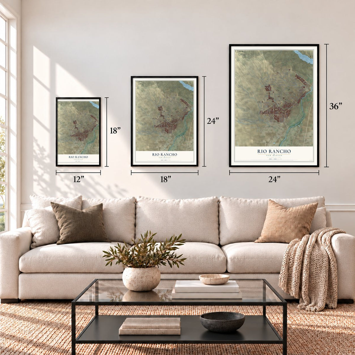
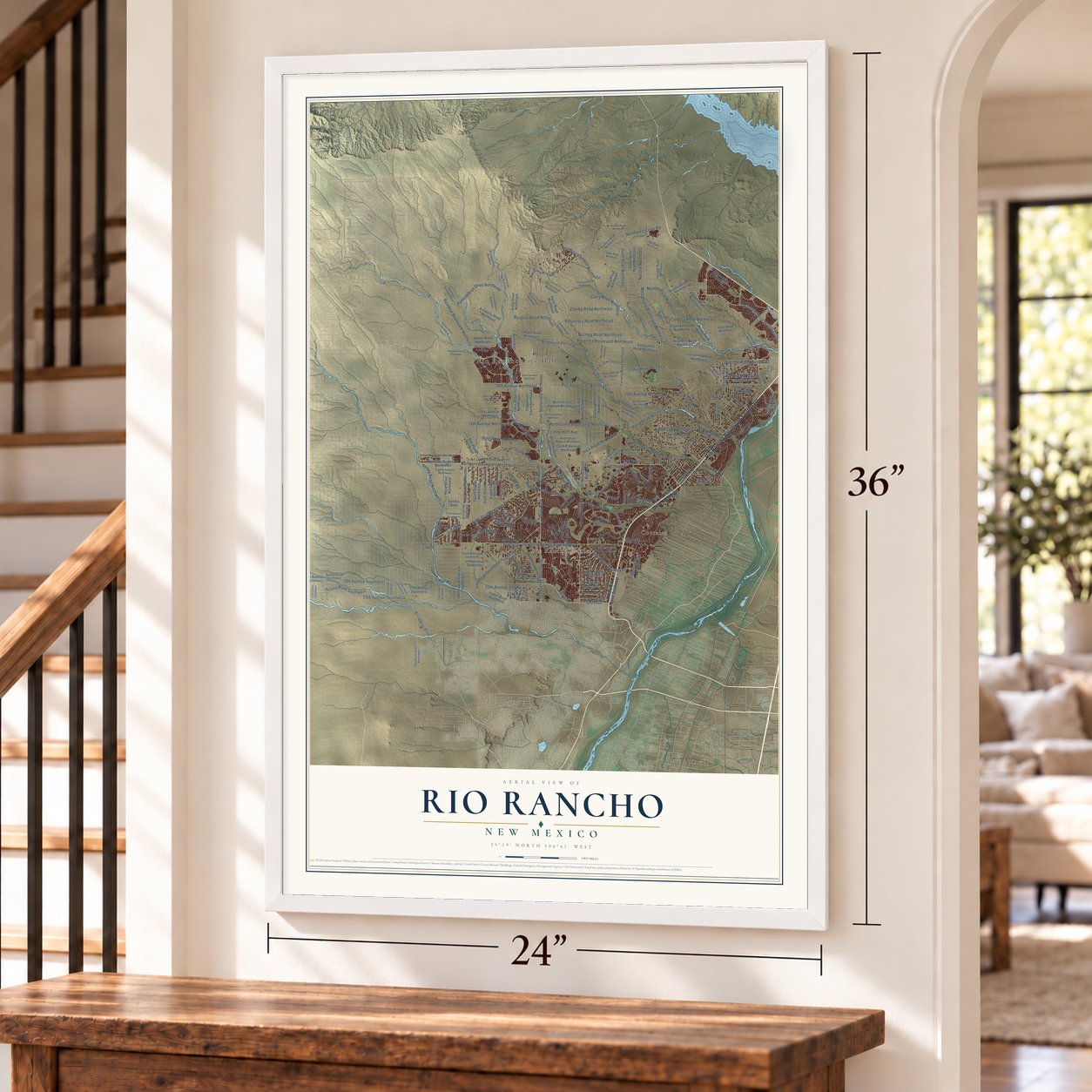
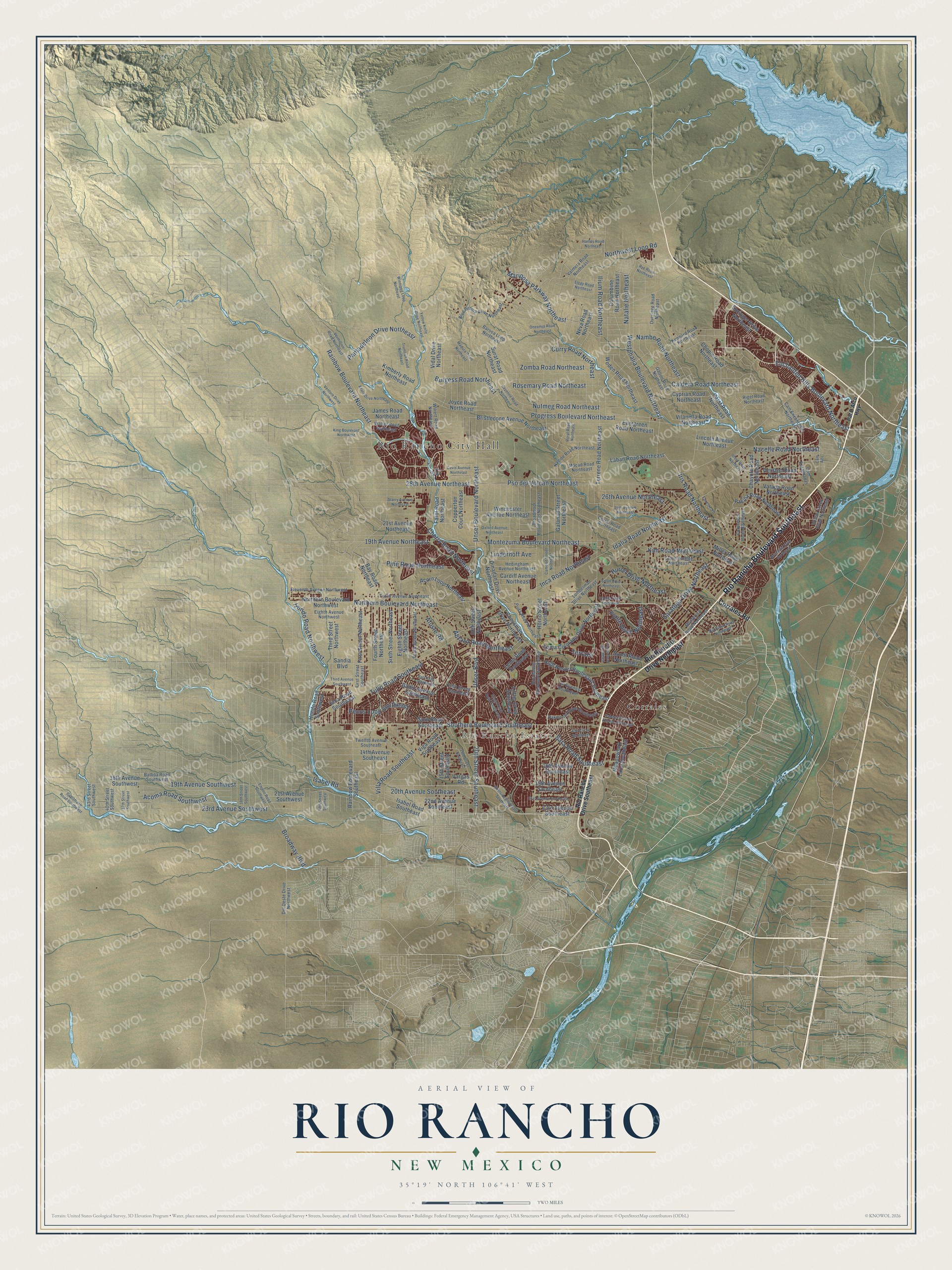
A new map of Rio Rancho, New Mexico, made in 2026 and printed to order on thick archival matte paper.
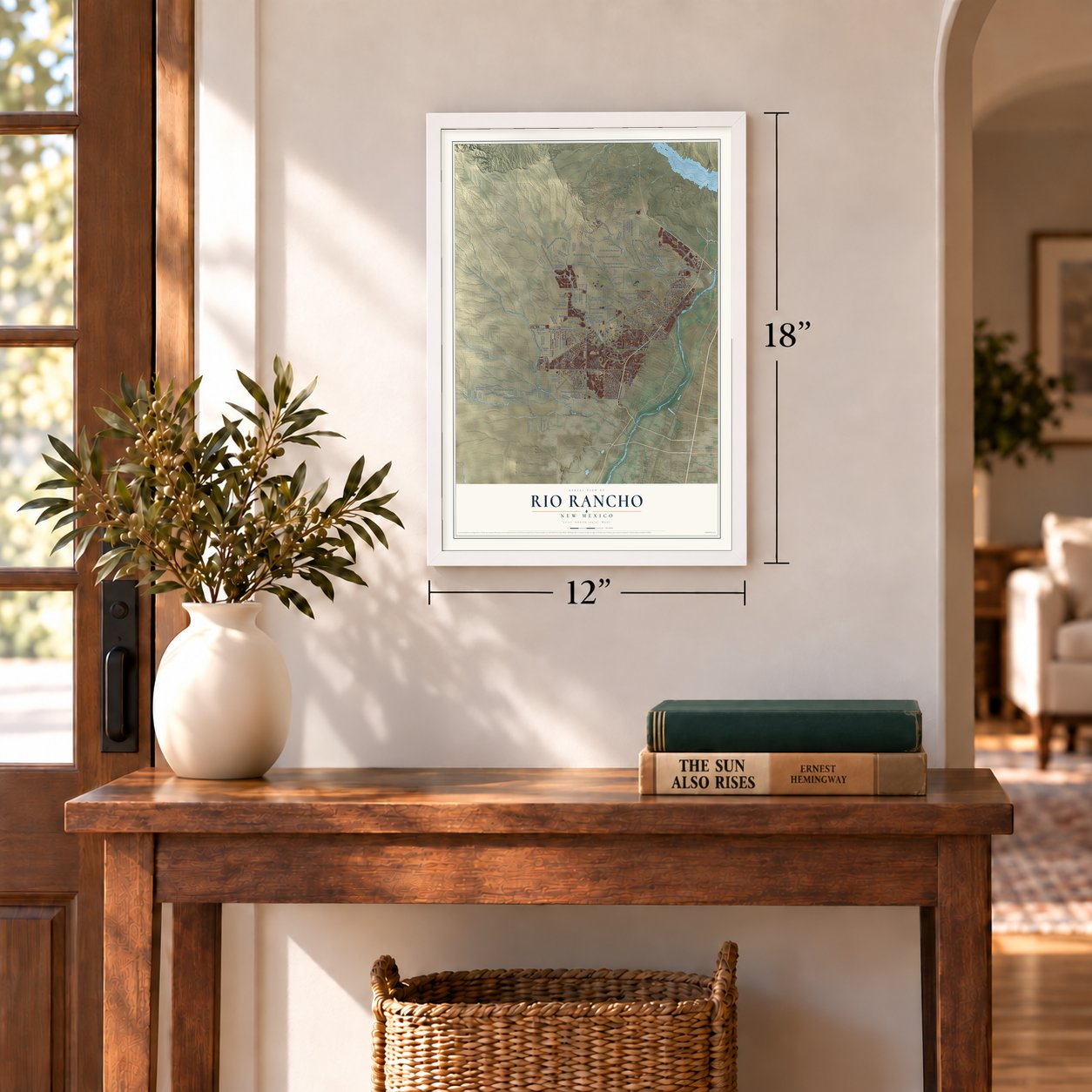
12" x 18" Archival Matte Print
A Map of Home. A Work of Art.
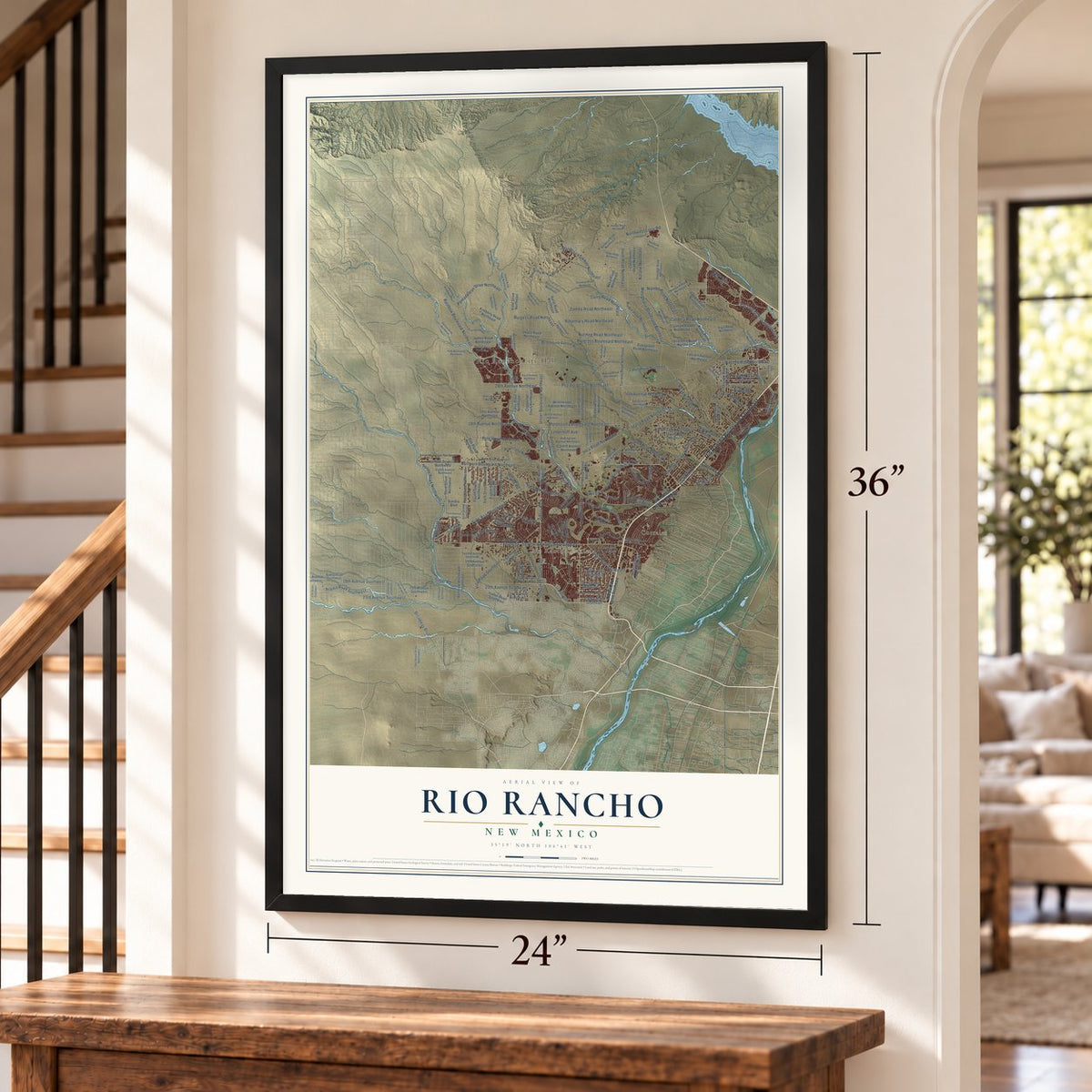
Explore Rio Rancho, New Mexico from a whole new perspective. Created using aerial imagery and detailed geographic data, this map captures Rio Rancho building by building, with labeled streets, familiar landmarks, and shaded topographical relief that highlights the natural contours of the landscape.
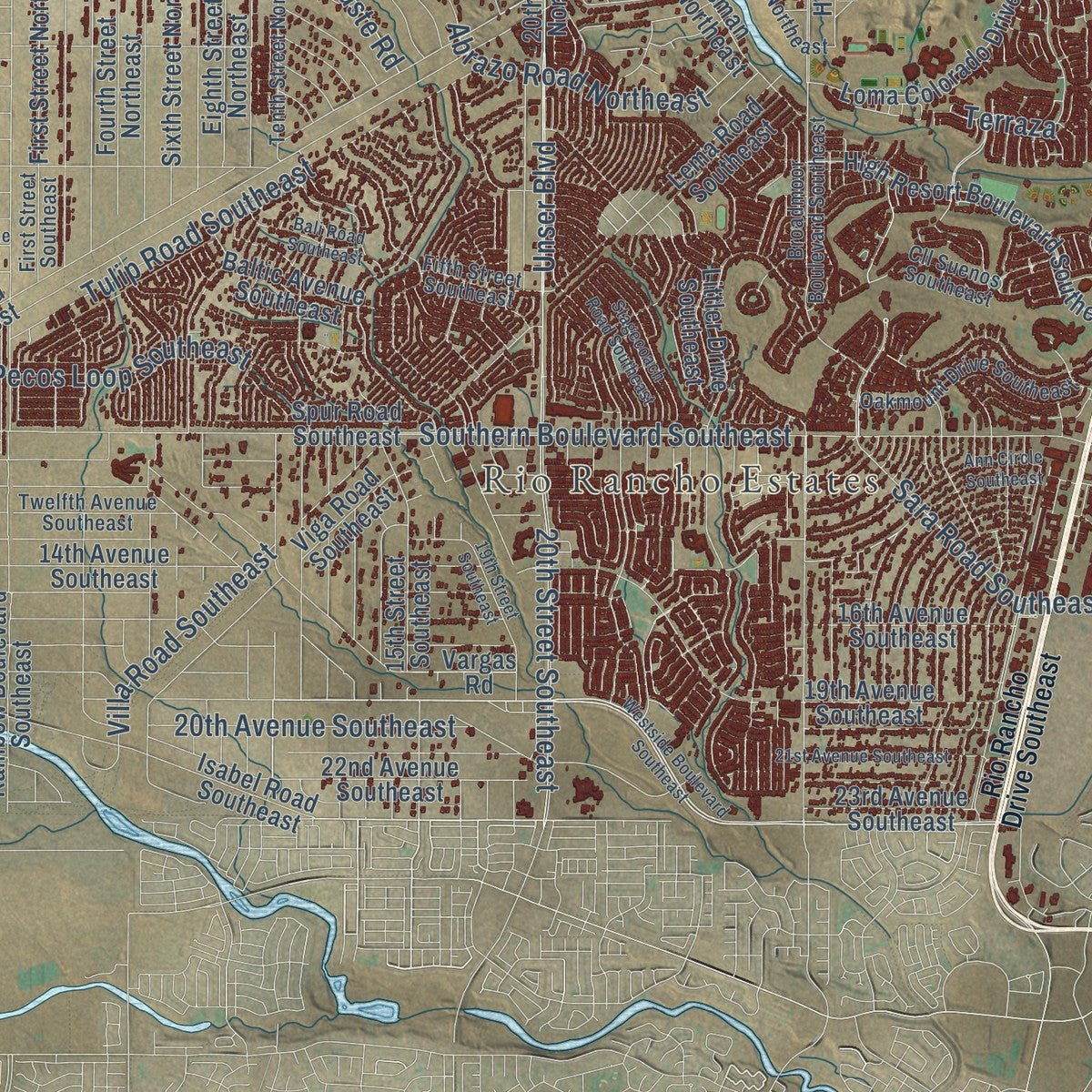
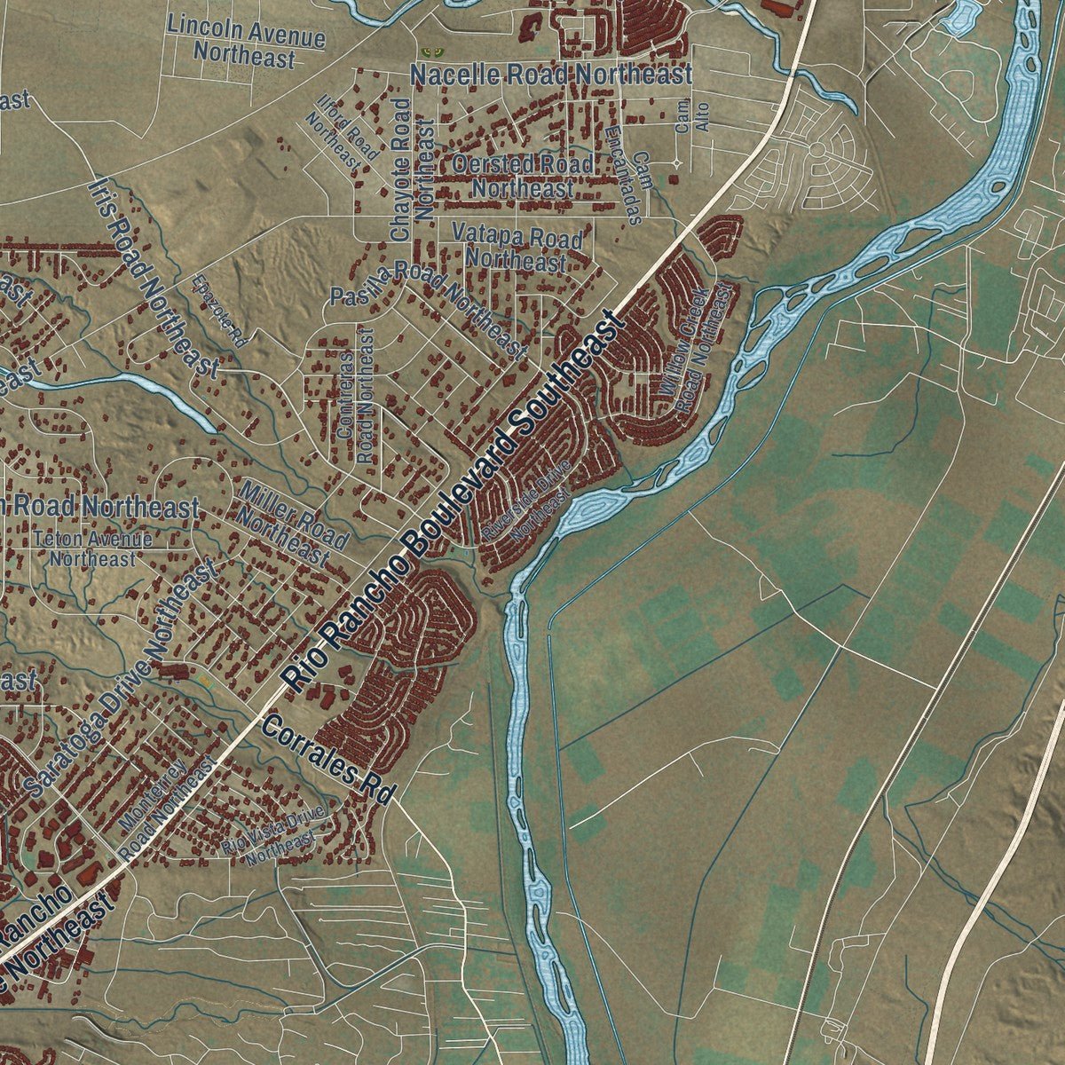
Combining modern data with the timeless character of a vintage atlas, this map is just as interesting up close as it is beautiful on the wall. Whether you grew up in Rio Rancho, spent memorable years there, or call it home today, this unique map is a great way to celebrate a place that means something to you. Zoom in on the preview to look for your street, and then order a print to put your memories on the wall.
Three ways to hang it
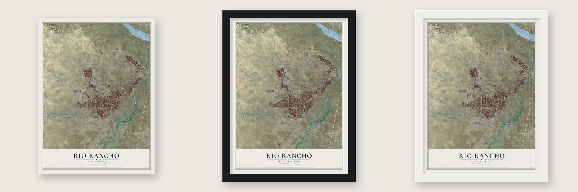
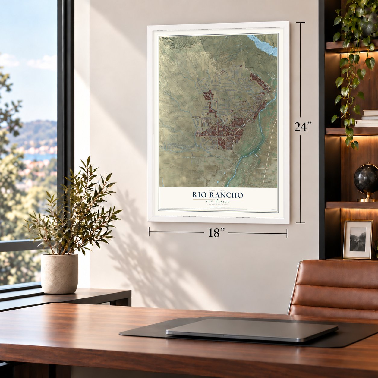
Unframed archival matte, a black wood frame or a white wood frame.
Up close
Geography Worth Displaying
This map was created using accurate cartographic data and authoritative geographic sources, including the U.S. Geological Survey and the Census Bureau. The map brings together terrain, waterways, roads, and building detail. The majority of the streets are labeled, houses are accurately depicted, and the topography is derived from government sources. Combining local data with carefully composed color and shading leads to this beautifully detailed Rio Rancho artwork for your wall.
Rather than simply showing street outlines, we’ve included as many of the street names as we could reasonably fit on the map while keeping their names legible. Zoom in on the high resolution preview to see exactly what’s on the map. We truly set out to create a statement piece for anyone who loves Rio Rancho. So whether it’s for you, or a gift for someone you love, we hope this map of Rio Rancho brings back fond memories.
Read the story behind this map of Rio Rancho, New Mexico from 2026.

About Rio Rancho, New Mexico
Rio Rancho is a city of 104,046 people in Sandoval County, the largest city in the county and the third largest in New Mexico. Most of its ground was once part of the Town of Alameda Grant, which Spanish colonial settlers founded in 1710, and ranchers grazed cattle and sheep on it. The United States took the land in 1848 after the Mexican-American War. By the early 20th century much of the grant had been broken up and sold to land investment companies.
In 1961 the Amrep Corporation bought 55,000 acres from Snow Homes and laid out a housing development it called Rio Rancho Estates. The first families arrived in the early 1960s. Amrep hired Ezio Valentini, who had helped develop Cape Coral, Florida. He sold lots at dinner parties for buyers in northern states, working through offices in 14 states. Newcomers poured in, and the population grew ten times over between 1970 and 1980. The city was incorporated in 1981.
- Named for the old ranchesThe name comes from Los Ranchos, the ranches that Spanish colonists set up beside the Rio Grande in the Albuquerque Basin and across Nuevo México. Neighboring Corrales had large ranches too.
- Intel since 1980Intel's first plant here, Fab 7, opened in 1980 and brought many jobs to the young city. Its $2 billion Fab 11X opened in 2002 as one of the largest chip plants in the world, and it was the first Intel plant to make 300 mm silicon wafers, which hold nearly twice as many chips as 200 mm ones. Fab 7 closed that year and became a test facility in 2005. Intel is still by far the city's largest employer.
- A downtown of its ownStarting in the 1990s, Rio Rancho set up its own school district and library system so it would rely less on Albuquerque. Then it built a city center. The Santa Ana Star Center arena opened in October 2006, City Hall followed in September 2007, and campuses of the University of New Mexico and Central New Mexico Community College went up close by.
- WiFi phone calls in 2005In 2005 Rio Rancho was the first city in the U.S. to offer voice-over-WiFi phone service everywhere inside its limits.
- Pro hockey comes backIn May 2025 the ECHL announced that a new team would be based in Rio Rancho, returning professional hockey to New Mexico. The club took the name New Mexico Goatheads on September 29, 2025, and its first season, 2026-27, will be held at the Rio Rancho Events Center.
Find your street
Names on the Rio Rancho map
Every name below is printed on this map. Look for your street, your school, the park where you played, or the pond down the road.
Places and landmarks3
- Rio Rancho City Hall
- Rio Rancho Estates
- Corrales
Streets and roads197
- Rio Rancho Boulevard Southeast
- Enchanted Hills Boulevard Northeast
- Westphalia Boulevard Northeast
- Iris Road Northeast
- Unser Boulevard Northeast
- Northern Boulevard Northeast
- Progress Boulevard Northeast
- Idalia Road Northeast
- Pso del Volcan Northeast
- Rainbow Boulevard Northeast
- Southern Boulevard Southeast
- 28th Avenue Northeast
- Inca Road Northeast
- 19th Avenue Southwest
- 20th Street Southeast
- Kim Road Northeast
- Cherry Road Northeast
- Unser Boulevard
- Mariposa Parkway Northeast
- 23rd Avenue Southwest
- Nutmeg Road Northeast
- Pantadeleon Drive Northeast
- Saratoga Drive Northeast
- Curry Road Northeast
- Pine Road Northeast
- Rosemary Road Northeast
- Abrazo Road Northeast
- Tulip Road Southeast
- Montezuma Boulevard Northeast
- 20th Avenue Southeast
Show all 197 streets
- Acoma Road Southwest
- Ilium Road Northeast
- Huron Drive Northeast
- Caldera Road Northeast
- Nambe Road Northeast
- Nacelle Road Northeast
- Burgess Road Northeast
- 26th Avenue Northeast
- Sara Road Southeast
- Villa Road Southeast
- Pecos Loop Southeast
- Zomba Road Northeast
- 19th Avenue Northeast
- Hondo Road Northwest
- Pyrite Drive Northeast
- Northwest Loop Road
- Broadway Boulevard
- Terraza
- Isabel Road
- Natalie Northeast
- Linderhoff Avenue
- Afuste Road
- Rio Rancho Drive Northeast
- Corrales Road
- 19th Avenue Southeast
- Laban Road Northeast
- Pasilla Road Northeast
- Chayote Road Northeast
- High Resort Boulevard Southeast
- Lincoln Avenue Northeast
- Rainbow Boulevard Southeast
- Loma Colorado Drive Northeast
- Terrene Road Northeast
- Evergreen Road Northeast
- 20th Street Northeast
- 16th Avenue Southeast
- Eighth Street Northeast
- Viga Road Southeast
- Woden Road Northeast
- 14th Avenue Southeast
- Karst Road Northeast
- 22nd Avenue Southeast
- Vatapa Road Northeast
- Galanad Street Northeast
- Vilanella Road Northeast
- Chopin Road Northeast
- 21st Avenue Southwest
- 15th Street Southeast
- Fourth Street Northeast
- Sixth Street Northeast
- Baltic Avenue Southeast
- Lema Road Southeast
- Farol Road Northeast
- Isabel Road Southeast
- Bristlecone Avenue Northeast
- Chessman Drive Northeast
- Dinadan Drive Northeast
- Vidal Drive Northeast
- Northern Boulevard Northwest
- Hondo Road Southwest
- Meadowlark Lane Southeast
- Third Street Northwest
- Winchester Avenue Northeast
- Springer Drive Northeast
- 23rd Avenue Southeast
- Acorn Loop Northeast
- First Street Northeast
- Spur Road Southeast
- James Road Northeast
- Copperton Court Northeast
- Horno Street Northeast
- Joyce Road Northeast
- Kimberly Road Northeast
- Cyprian Road Northeast
- Oersted Road Northeast
- Columbine Road Northeast
- Littler Drive Southeast
- Inca Road Southwest
- Sundt Road Northeast
- Cardiff Avenue Northeast
- Surat Road Northeast
- Miller Road Northeast
- Bay Road Northeast
- Neva Road Northeast
- 18th Avenue Southwest
- 21st Avenue Northeast
- Sandia Boulevard
- Vargas Road
- Zia Street
- Rio Rancho Drive Southeast
- Broadmoor Boulevard Northeast
- Monterrey Road Northeast
- Valmera Road Northeast
- Kennard Road Northeast
- Blue Grama Drive Northeast
- Cam Encantadas Northeast
- Tenth Street Northeast
- Tenth Avenue Northeast
- Fifth Street Southeast
- Del Oeste Drive Northwest
- Broadmoor Boulevard Southeast
- Willow Creek Road Northeast
- Nadine Road Northeast
- Eleventh Avenue Northwest
- Corral Road Northeast
- Barooa Loop Northeast
- Oakmount Drive Southeast
- Overidge Road Northeast
- Wilrett Road Northeast
- Twelfth Avenue Southeast
- Eighth Avenue Northwest
- Hedingham Avenue Northeast
- Fruta Road Northeast
- Teton Avenue Northeast
- Cll Suenos Southeast
- Walter Road Northeast
- Cam Encantadas
- Lumberman Drive Northeast
- Contreras Road Northeast
- First Street Southeast
- Macad Road Northeast
- Galton Road Northeast
- 40th Street Southwest
- Balboa Road Southwest
- 43rd Street Southwest
- Rigel Road Northeast
- Pat D'Arco Highway
- Westside Boulevard Southeast
- Cayenne Road Northeast
- Yellow Knife Drive Northeast
- 21st Avenue Southeast
- Winnipeg Loop Northeast
- Azure Drive Northeast
- Camelot Street Northeast
- 19th Street Southeast
- Riverside Drive Northeast
- Sioux Drive Northeast
- Venture Drive Northwest
- Rio Vista Drive Northeast
- Madura Road Northeast
- Ann Circle Southeast
- Trumbull Road Northeast
- Oneonya Road Northeast
- Sabana Grande Avenue Southeast
- Capistrano Road Southwest
- Vermillion Road Northeast
- Roral Road Northeast
- Elegy Road Northeast
- King Boulevard Northwest
- Stagecoach Road Southeast
- Cholla Road Northeast
- Oxford Avenue Northeast
- Ilford Road Northeast
- Encino Road Southwest
- 37th Street Southwest
- Hanley Road Northeast
- Fifth Street Southwest
- Davis Avenue Northeast
- Tigris Road Northeast
- Starry Avenue Northeast
- Bali Road Southeast
- Epazote Road
- Third Avenue Southwest
- 24th Avenue Northeast
- 18th Street Southwest
- Rye Road Northeast
- Cam Alto
Names are listed as they appear on the printed map. Zoom into the product photos to find them.
The art of mapping a place
How This Map Was Made
Real places. Remarkable detail. Discover the layers that turn geographic data into a map of home.

The view from above
Aerial imagery reveals the character of the land: woodland, open fields, and the patterns of a place.

The shape of the land
Elevation data brings hills, valleys, and subtle changes in the landscape into view.

The details of home
Roads, waterways, and building footprints come together to make the map feel unmistakably local.

Geography becomes art
Considered color, shading, and typography bring the layers together in a map made for your wall.


Process illustrated with Mendon, Massachusetts. Aerial imagery: USDA NAIP. Terrain: USGS 3D Elevation Program. Map details and finished artwork: KNOWOL.
The Details
About This Print
Choose an archival matte print, or a black or white Ayous wood frame. The archival matte print is unframed.
Select your size and finish above to see the matching product image and price.
Materials & Craftsmanship
A contemporary map with the character of a classic atlas, printed on archival matte paper. Optional frames are made from Ayous wood.
Your printed map does not include the watermark shown in the full-map preview.
Shipping & Delivery
Free shipping within the United States. Every print is made to order in the USA.
Buying a gift? Add a note in your cart and we'll include it. We never put prices in the package.
Prints ship within 2 to 3 business days. Allow 7 to 10 days total from ordering for delivery. Timing may vary during holidays or periods of high order volume.
Read our shipping policy.
Returns and damaged prints
Each print is made to order. Change-of-mind refunds are not available after production.
If your print arrives damaged, misprinted or incorrect, contact support@knowol.com within 30 days of receiving it. Include your order number, photos and a description of the issue.
Read our full refund and replacement policy. For questions about your order, email support@knowol.com.
Find your town
Looking for another city?
Find a map of home in our New Mexico collection, or any town in the country.
Nearby
Maps of towns near Rio Rancho
Know someone from one of these towns? Their map makes a great gift.
 Corrales
, New Mexico
From $39.99See the map
 Rio Rancho Estates
, New Mexico
From $39.99See the map
 Paradise Hills
, New Mexico
From $39.99See the map
More maps nearby: Pueblo of Sandia Village, Edith Enclave, Bernalillo, North Valley and Los Ranchos de Albuquerque.