
Search for another town
Free U.S. delivery 7 to 10 days after you order
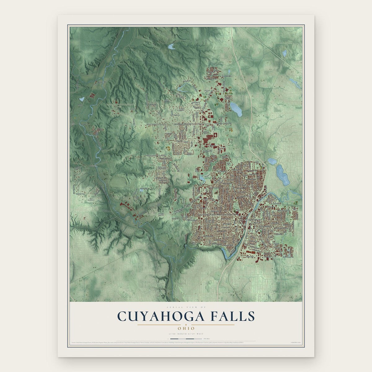
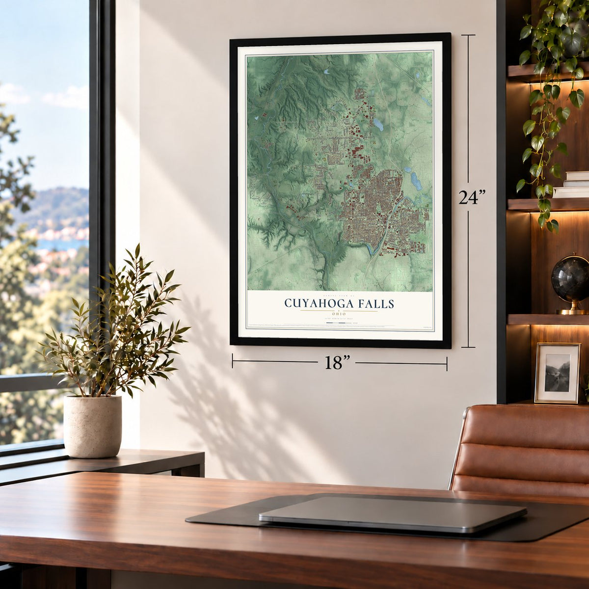
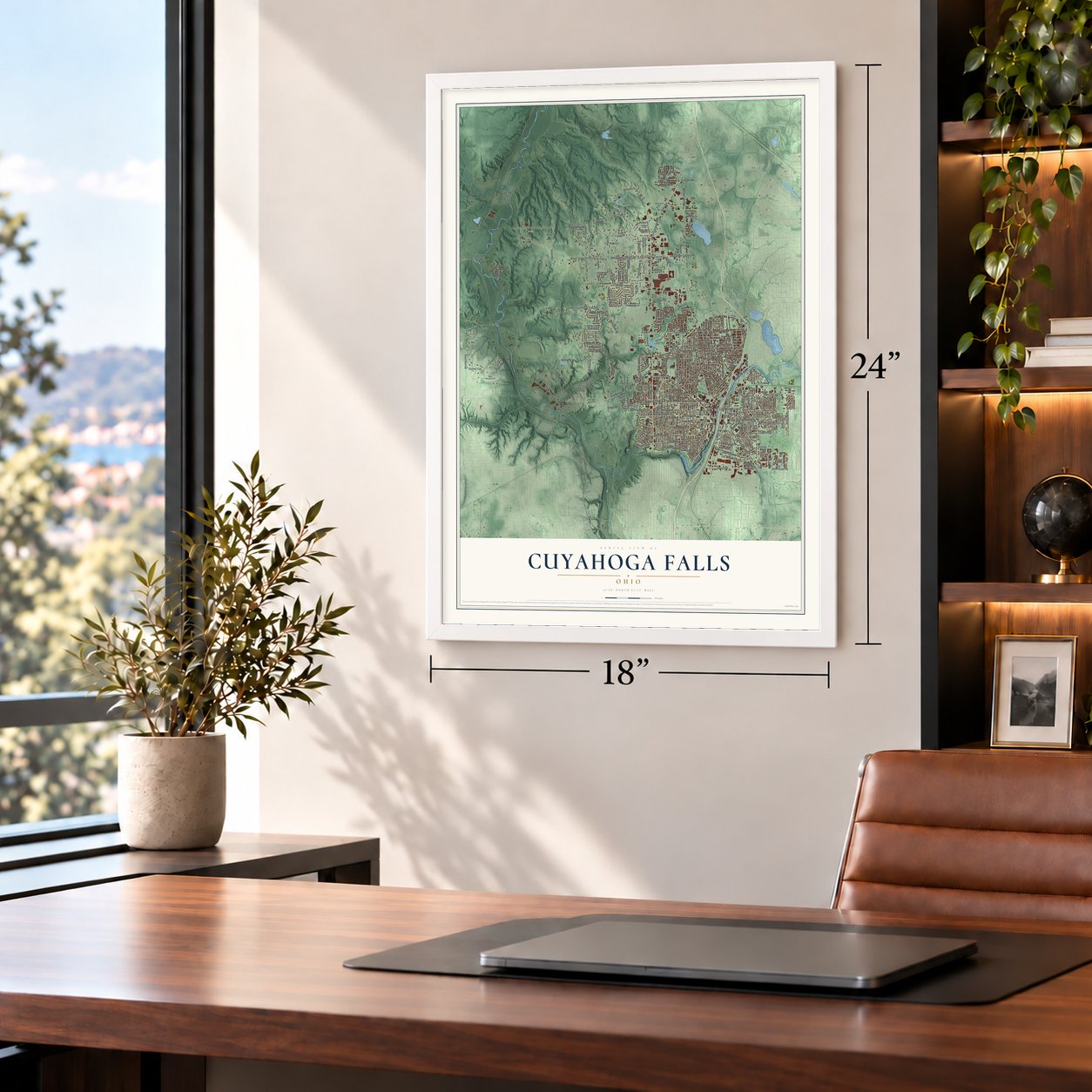
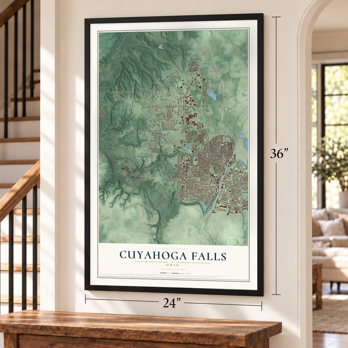
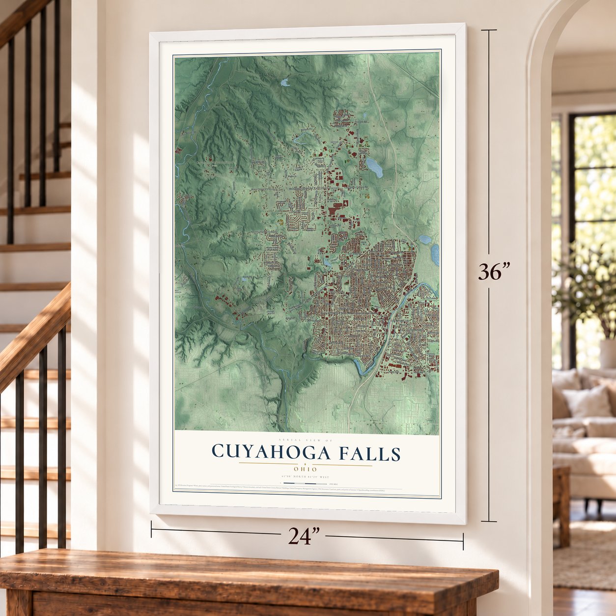
Cuyahoga Falls, Ohio Map Art
Building by building, with labeled streets and shaded relief.
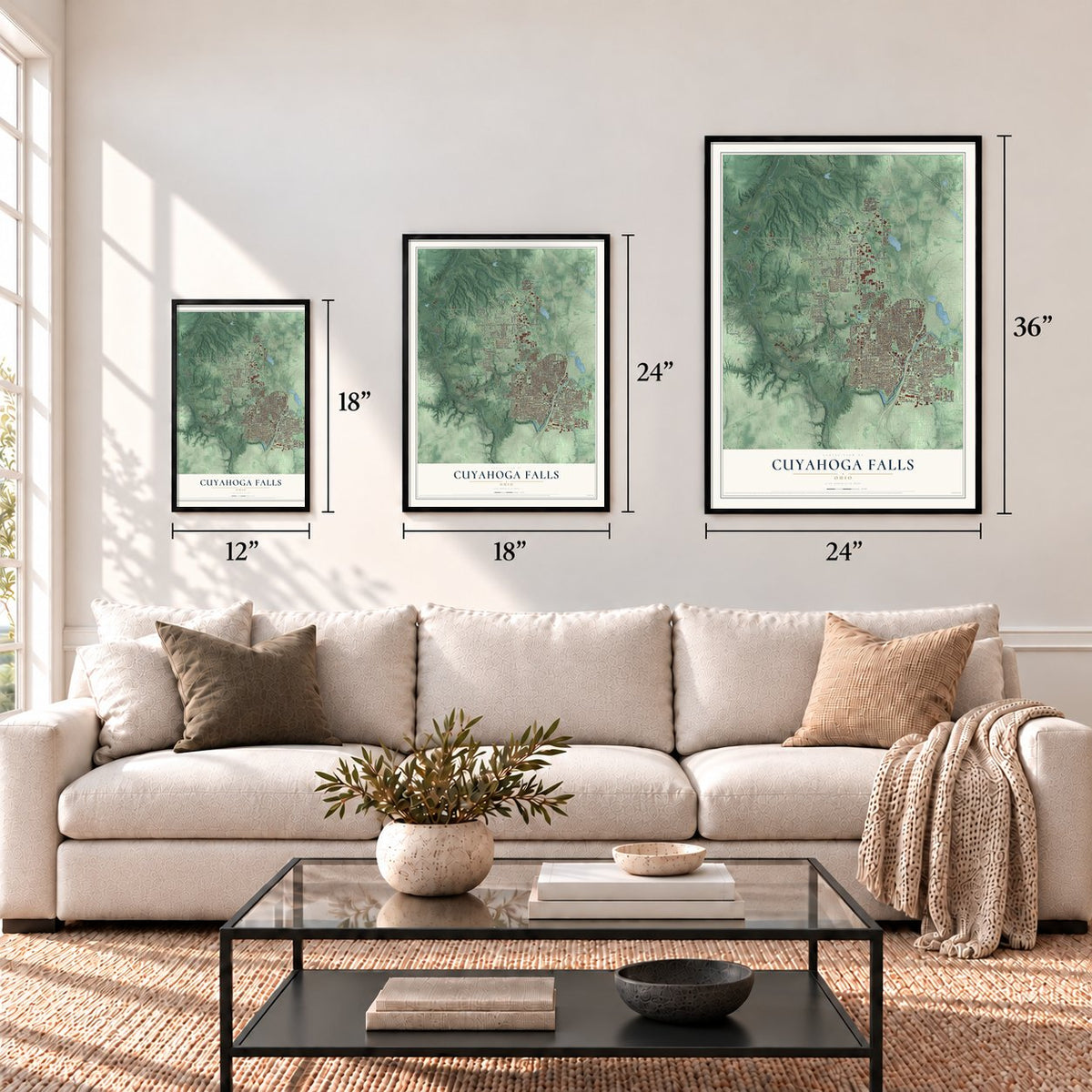
12" x 18" Archival Matte Print
A Map of Home. A Work of Art.
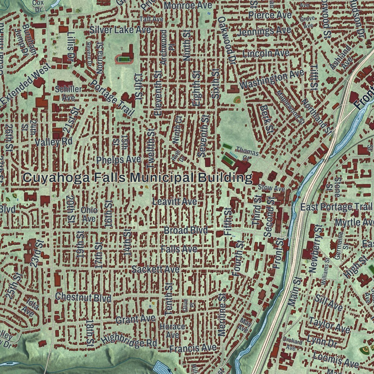
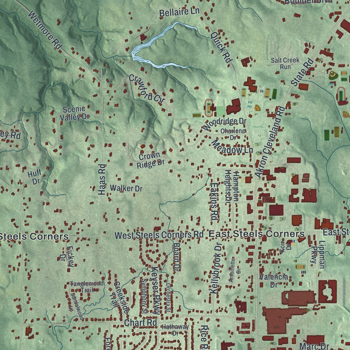
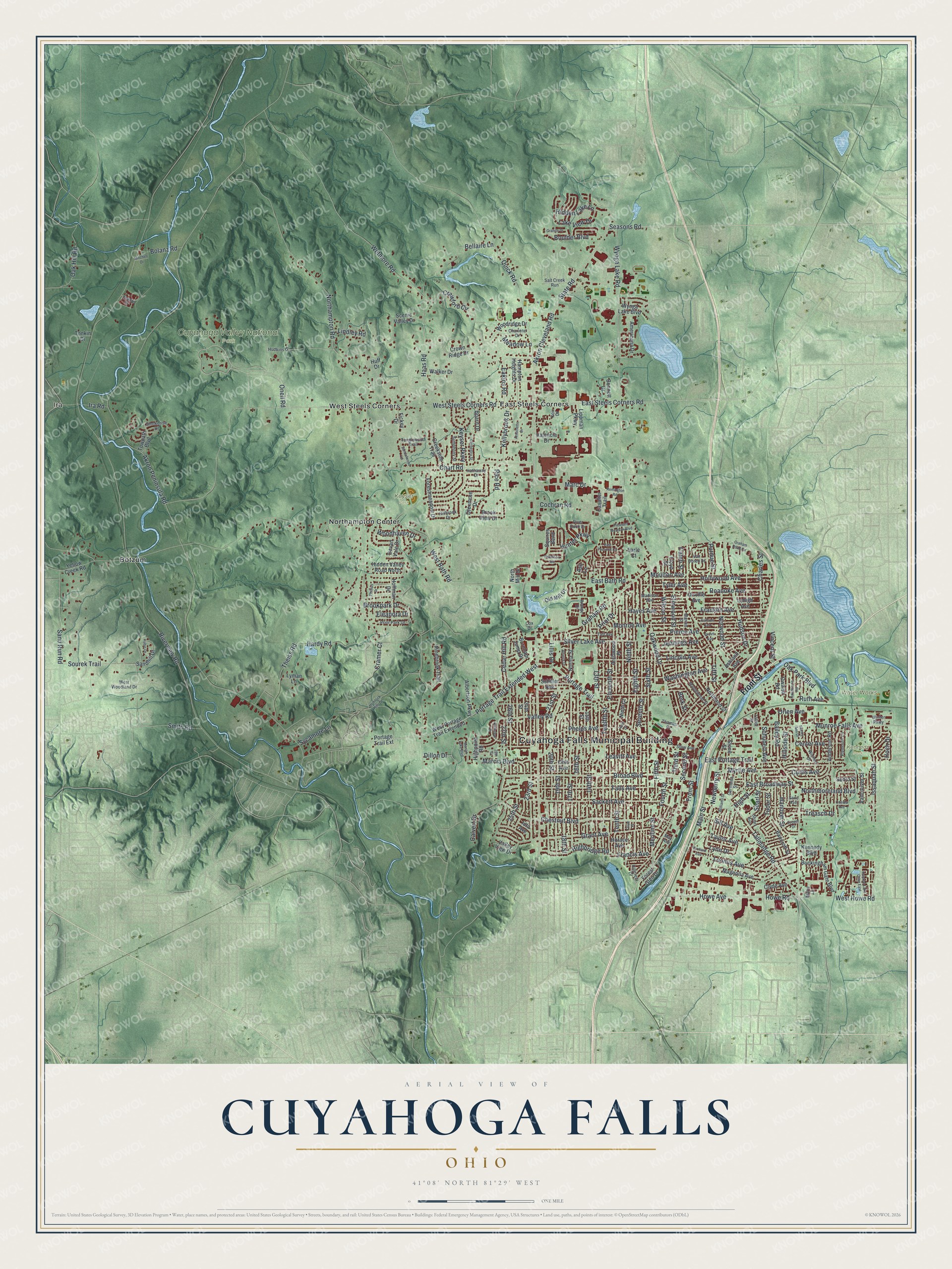
Explore Cuyahoga Falls, Ohio from a whole new perspective. Created using aerial imagery and detailed geographic data, this map captures Cuyahoga Falls building by building, with labeled streets, familiar landmarks, and shaded topographical relief that highlights the natural contours of the landscape.
Combining modern data with the timeless character of a vintage atlas, this map is just as interesting up close as it is beautiful on the wall. Whether you grew up in Cuyahoga Falls, spent memorable years there, or call it home today, this unique map is a great way to celebrate a place that means something to you. Zoom in on the preview to look for your street, and then order a print to put your memories on the wall.
Three ways to hang it
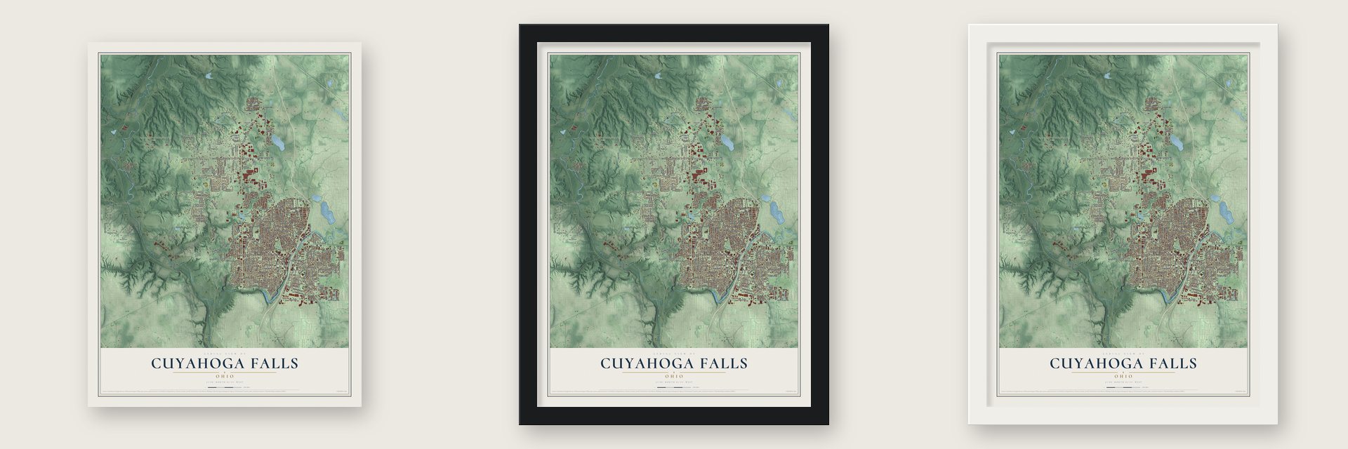
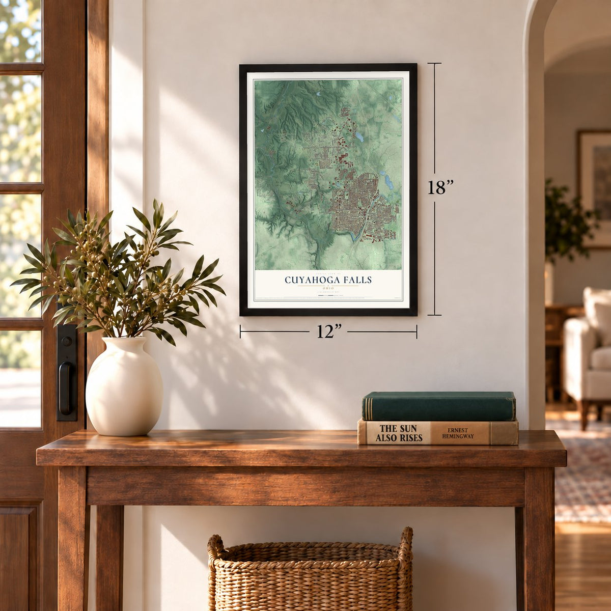
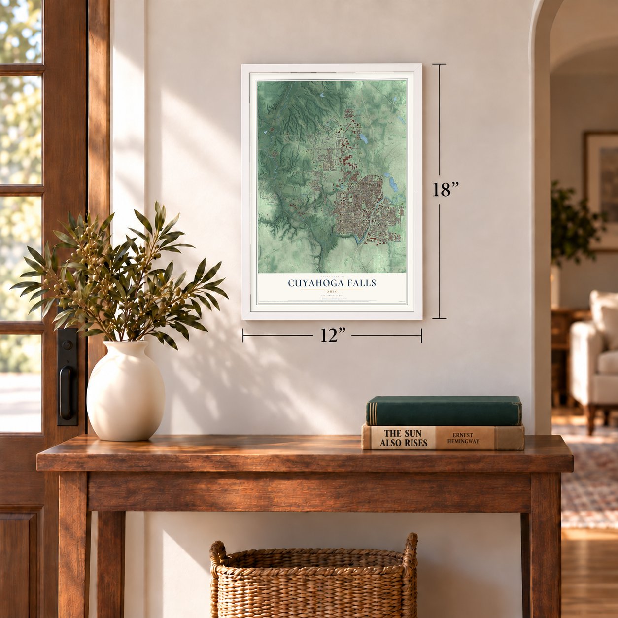
Unframed archival matte, a black wood frame or a white wood frame.
Up close
Geography Worth Displaying
This map was created using accurate cartographic data and authoritative geographic sources, including the U.S. Geological Survey and the Census Bureau. The map brings together terrain, waterways, roads, and building detail. The majority of the streets are labeled, houses are accurately depicted, and the topography is derived from government sources. Combining local data with carefully composed color and shading leads to this beautifully detailed Cuyahoga Falls artwork for your wall.
Rather than simply showing street outlines, we’ve included as many of the street names as we could reasonably fit on the map while keeping their names legible. Zoom in on the high resolution preview to see exactly what’s on the map. We truly set out to create a statement piece for anyone who loves Cuyahoga Falls. So whether it’s for you, or a gift for someone you love, we hope this map of Cuyahoga Falls brings back fond memories.
Read the story behind this map of Cuyahoga Falls, Ohio from 2026.
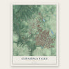
Find your street
Names on the Cuyahoga Falls map
Every name below is printed on this map. Look for your street, your school, the park where you played, or the pond down the road.
Places and landmarks11
- Cuyahoga Falls Municipal Building
- Ira
- Cuyahoga Valley National Park
- Kennedy Park
- Keyser Park
- Ross Park
- Water Works Park
- Botzum
- East Steels Corners
- Northampton Center
- West Steels Corners
Streets and roads263
- Front Street
- State Road
- Broad Boulevard
- Oneil Road
- Howe Road
- Portage Trail Extended West
- East Steels Corners Road
- Franklin Avenue
- Seasons Road
- Northampton Road
- Riverview Road
- Akron Peninsula Road
- West Steels Corners Road
- Bailey Road
- West Bath Road
- Wyoga Lake Road
- Eighth Street
- Graham Road
- Portage Trail
- Second Street
- Ninth Street
- Seventh Street
- Akron Cleveland Road
- Sackett Avenue
- Tenth Street
- Eleventh Street
- 13th Street
- Sixth Street
- Oakwood Drive
- Munroe Falls Avenue
Show all 263 streets
- Twelfth Street
- Third Street
- Chestnut Boulevard
- Grant Avenue
- Falls Avenue
- Elmwood Street
- Chart Road
- Keyser Parkway
- 17th Street
- Hudson Drive
- 14th Street
- 18th Street
- Quick Road
- Theiss Road
- 16th Street
- 23rd Street
- Fourth Street
- Tallmadge Road
- 19th Street
- Myrtle Avenue
- 21st Street
- Howe Avenue
- 26th Street
- Lincoln Avenue
- Haas Road
- High Street
- Washington Avenue
- Phelps Avenue
- Main Street
- Hunter Parkway
- Center Avenue
- Sourek Trail
- Valley Road
- East Bath Road
- 20th Street
- Silver Lake Avenue
- Wetmore Road
- Issaquah Street
- 25th Street
- Hardy Road
- Norwood Street
- Sand Run Road
- Newberry Street
- Loomis Avenue
- Charles Street
- Monroe Avenue
- Roanoke Avenue
- Crawford Circle
- Northmoreland Boulevard
- Wilson Street
- Oak Hill Road
- Highbridge Road
- Hollywood Avenue
- West Howe Road
- Lake View Drive
- Cedar Hill Road
- East Broadway Street
- Hayes Avenue
- Meriline Street
- Curtis Avenue
- Taylor Avenue
- Meadow Lane
- Hanover Street
- Boulder Boulevard
- Hidden Lake Lane
- Kellybrook Drive
- Smith Road
- Marc Drive
- Marcia Boulevard
- Brookpark Drive
- Oak Park Boulevard
- Bellaire Lane
- Cochran Road
- 27th Street
- Ira Road
- East Portage Trail
- Jennings Avenue
- Tifft Street
- Sycamore Lane
- Woodhaven Drive
- Pierce Avenue
- Lynn Drive
- Tudor Street
- Ruth Avenue
- Tyler Avenue
- Sill Avenue
- Fifth Street
- Bolanz Road
- Francis Avenue
- Prior Drive
- Eakins Road
- Eleanora Drive
- Searl Street
- Orlen Avenue
- Moulton Avenue
- Schubert Avenue
- Purdue Street
- Leavitt Avenue
- Cramer Court
- Treasch Drive
- Lindley Road
- Lillis Drive
- Vincent Street
- Caleb Street
- Calvert Drive
- Hoch Drive
- Hillside Street
- Rice Road
- Dillon Drive
- Berk Street
- West Portage Trail Extended
- 15th Street
- Northland Street
- 24th Street
- Anderson Road
- Archwood Place
- Magnolia Avenue
- Orrville Avenue
- Americana Drive
- Buckingham Gate Boulevard
- Sedro Street
- Woodridge Drive
- Hidden Valley Road North
- Forestmeadow Drive
- Ohio Avenue
- Hoffman Drive
- Lehigh Avenue
- Hampton Heights Drive
- Stone Street
- Crown Ridge Drive
- Sandhill Drive
- Ashland Avenue
- Creekside Trail
- Albertson Parkway
- Pinebrook Trail
- Norma Street
- Owaisa Road
- Schiller Avenue
- Yellow Creek Road
- Portage Trail Extension
- Valley View Drive
- Towpath Boulevard
- Bancroft Street
- Walker Drive
- Wyoga Lake Boulevard
- Scenic Valley Drive
- Horace Avenue
- Old Mill Drive
- Vancouver Street
- Brook View Drive
- Devan Vale Drive
- North Mill Drive
- Highpoint Road
- Kennedy Boulevard
- Board Drive
- Huff Drive
- Lippman Parkway
- Burnham Jump Drive
- Clyde Avenue
- Valencia Drive
- Drexmore Drive
- Bonnett Drive
- Forest Glen Drive
- Lloyd Street
- Cavalier Trail
- Fickey Drive
- Lyman Lane
- Squires Bend
- Ninth Court
- Earle Court
- Tonkin Drive
- Iota Avenue
- Ash Lane
- Prange Drive
- Stow Avenue
- Madison Avenue
- River Rock Drive
- Maplewood Street
- Symphony Street
- Hillbrook Drive
- Germaine Street
- Hathaway Drive
- Charlene Drive
- Taft Avenue
- Prior Park Drive
- Tanglewood Trail
- Hudkins Drive
- Salt Creek Run
- Plymouth Lane
- West Woodland Drive
- Van Doren Drive
- Smokerise Drive
- Wichert Drive
- Winter Parkway
- Marian Street
- May Avenue
- Hillcrest Drive
- Thomas Court
- Marie Lane
- Stuart Avenue
- Jeanie Drive
- Koir Drive
- Talbot Street
- Saxe Avenue
- Cox Drive
- Kathron Avenue
- Antoinette Drive
- Williams Street
- East Prescott Circle
- Grove Avenue
- Marian Lake Boulevard
- Parkview Drive
- Remington Road
- Revere Drive
- Hunters Lake Drive East
- Hawthorne Road
- Sandalwood Lane
- Granite Drive
- Oneida Avenue
- Cooper Drive
- Orchestra Street
- Pleasant Meadow Boulevard
- Kubic Drive
- Orchard Avenue
- Roth Drive
- Paddison Avenue
- Graham Road Circle
- Hemlock Hills Drive
- Phillips Drive
- Mitchell Drive
- Shirley Ann Drive
- 28th Street
- Olive Place
Names are listed as they appear on the printed map. Zoom into the product photos to find them.
About Cuyahoga Falls, Ohio
Cuyahoga Falls is a city of 51,114 people in Summit County, just north of Akron. William Wetmore founded it in 1812 near the corner where Northampton, Stow, Tallmadge and Portage townships met, because the Cuyahoga River's waterfalls could turn mill wheels. That same year Kelsey and Wilcox dammed the river and put up a flour mill, a saw mill and an oil mill, and houses soon rose around them. Builders later found stronger water power downstream, and in 1826 a dam built by Wetmore flooded the old village, whose mills were torn down.
The settlement started out as Manchester, but Ohio already had several towns by that name, so the Post Office asked for a new one, and the town took the name of the river and its falls. Judge Richardson laid out the village in 1826, and it was incorporated in 1836. In 1841 the county commissioners named it the county seat, but the state legislature ordered a popular vote instead, and Akron won the seat and has kept it ever since.
- High Bridge Glens in 1879Spread across both banks of the Cuyahoga, it offered trails, waterfalls, deep caves, a pavilion for dinner and dancing and a footbridge hung above the river, and possibly one of the area's first roller coasters. Over 8,000 visitors a day came at its peak, including William McKinley, then a congressman.
- The Doodlebug DisasterOn July 31, 1940, a train wreck known as the Doodlebug Disaster killed 43 people. No other event in the city's history has taken as many lives.
- Ohio's first city-township mergerThe city grew up on river power, but by midcentury it had turned into mostly a place to live. Voters approved a merger with neighboring Northampton Township in 1985, and in 1986 the two joined, the first time an Ohio city and township had merged. Mayor Don Robart, who served from 1986 to 2013, backed it for the new land, and parts of that land later drew industry.
- The Cathedral of TomorrowThe televangelist Rex Humbard founded the Cathedral of Tomorrow in Cuyahoga Falls in 1958. The pastor and evangelist Ernest Angley later bought the complex and gave it a new name, Grace Cathedral.
- Blossom Music CenterBlossom Music Center, an outdoor concert venue, sits on 800 acres of Cuyahoga Valley National Park inside the city. The Cleveland Orchestra has made it its summer home since 1968.
Keep exploring Ohio
Cuyahoga Falls is one of 1,389 Ohio towns we've mapped. Every dot on the map is a print of its own.
The search covers every state, Ohio first.
Near Cuyahoga Falls
Order 2 or more town maps and save 10%. Shown in the size and finish you picked above, so they hang as a set.
- Peninsula 12" x 18" / Archival Matte Print $39.99
- Bath 12" x 18" / Archival Matte Print $39.99
- Montrose-Ghent 12" x 18" / Archival Matte Print $39.99
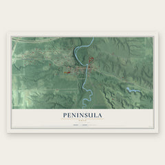
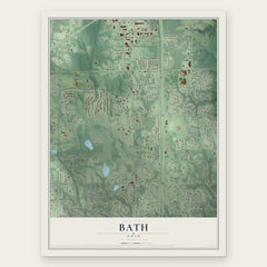
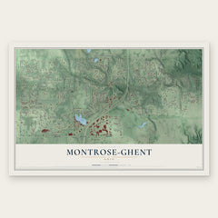
More maps nearby: Fairlawn, Boston Heights, Silver Lake, Richfield and Stow.
The art of mapping a place
How This Map Was Made
Real places. Remarkable detail. Discover the layers that turn geographic data into a map of home.

The view from above
Aerial imagery reveals the character of the land: woodland, open fields, and the patterns of a place.

The shape of the land
Elevation data brings hills, valleys, and subtle changes in the landscape into view.

The details of home
Roads, waterways, and building footprints come together to make the map feel unmistakably local.

Geography becomes art
Considered color, shading, and typography bring the layers together in a map made for your wall.


Process illustrated with Mendon, Massachusetts. Aerial imagery: USDA NAIP. Terrain: USGS 3D Elevation Program. Map details and finished artwork: KNOWOL.
The Details
About This Print
Choose an archival matte print, or a black or white Ayous wood frame. The archival matte print is unframed.
Select your size and finish above to see the matching product image and price.
Materials & Craftsmanship
A contemporary map with the character of a classic atlas, printed on archival matte paper. Optional frames are made from Ayous wood.
Your printed map does not include the watermark shown in the full-map preview.
Shipping & Delivery
Free shipping within the United States. Every print is made to order in the USA.
Buying a gift? Add a note in your cart and we'll include it. We never put prices in the package.
Prints ship within 2 to 3 business days. Allow 7 to 10 days total from ordering for delivery. Timing may vary during holidays or periods of high order volume.
Read our shipping policy.
Returns and damaged prints
Each print is made to order. Change-of-mind refunds are not available after production.
If your print arrives damaged, misprinted or incorrect, contact support@knowol.com within 30 days of receiving it. Include your order number, photos and a description of the issue.
Read our full refund and replacement policy. For questions about your order, email support@knowol.com.