
Search for another town



Free U.S. delivery 7 to 10 days after you order
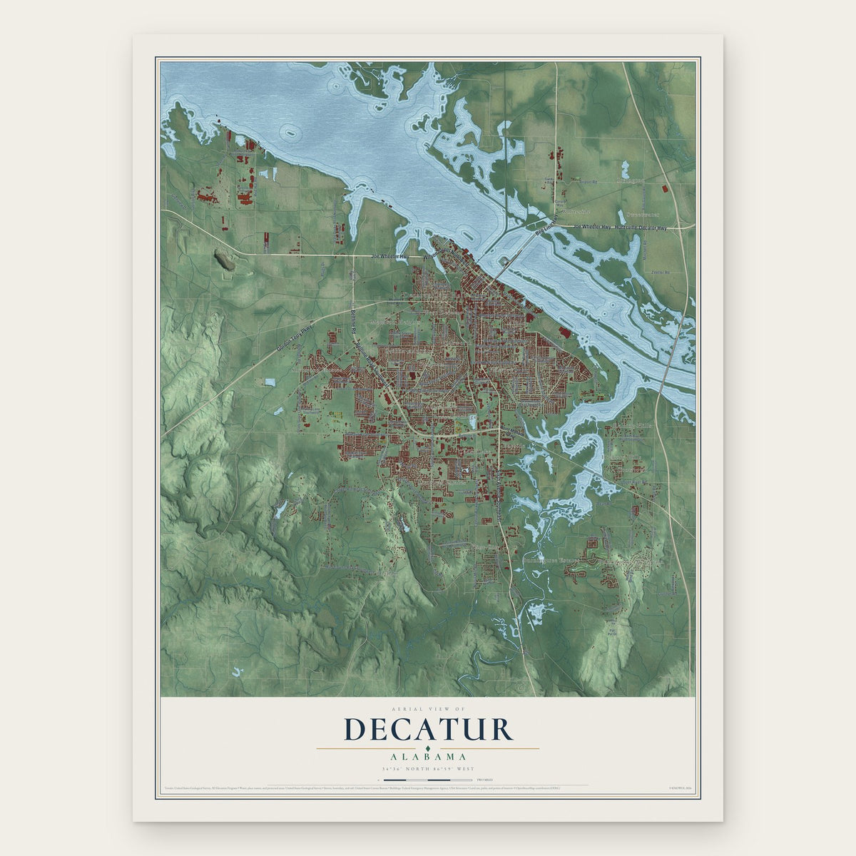
Decatur, Alabama Map Art
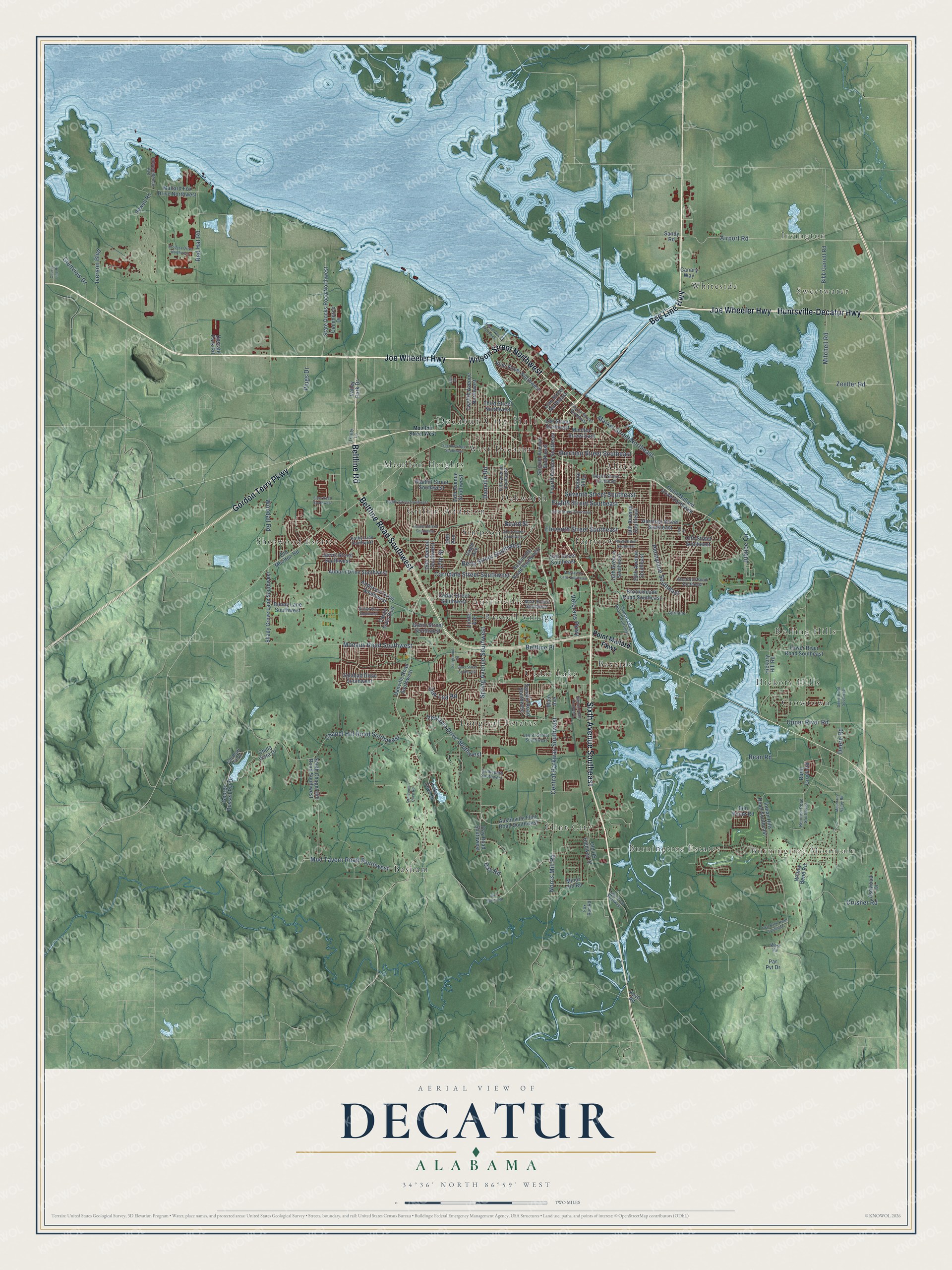
A new map of Decatur, Alabama, made in 2026 and printed to order on thick archival matte paper.
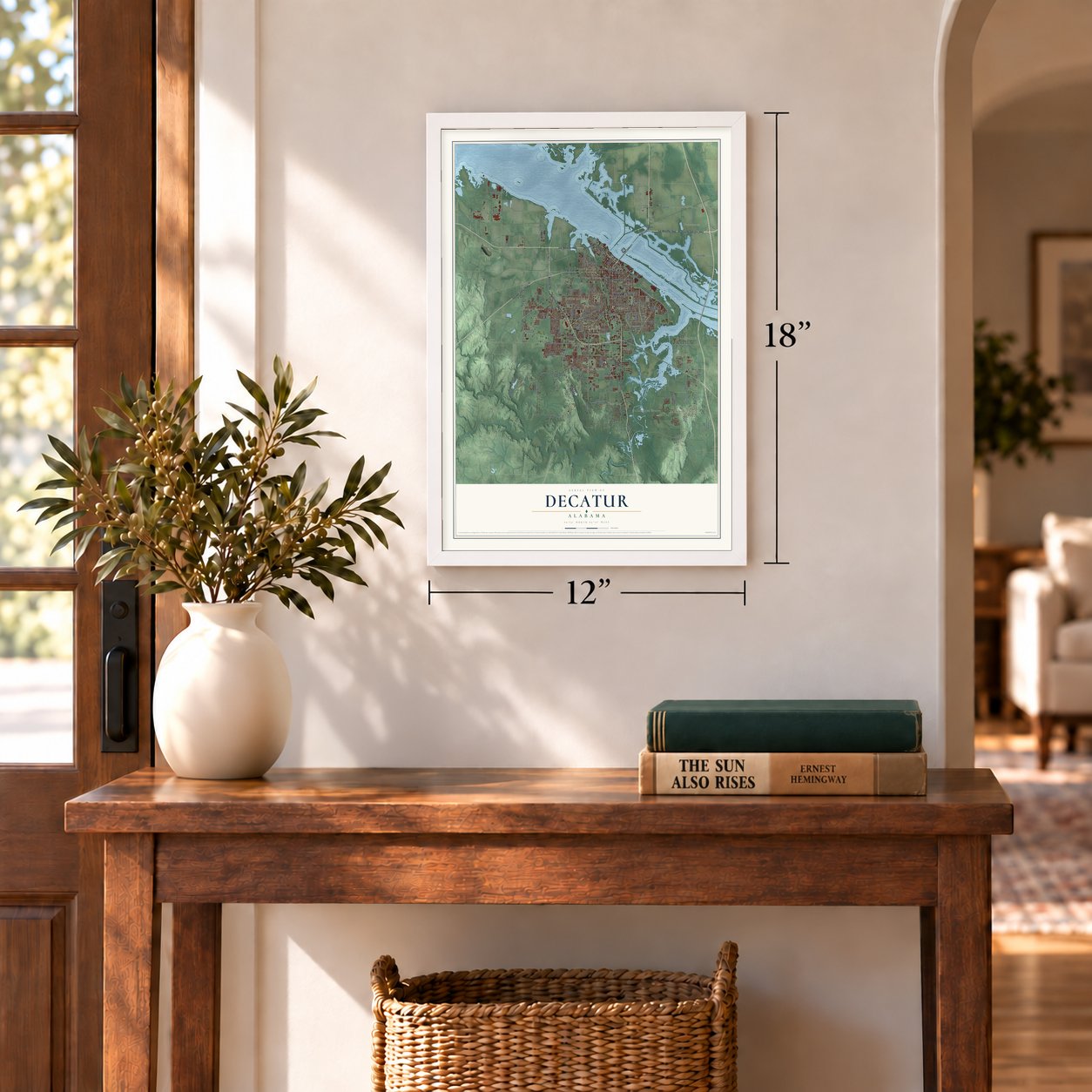
12" x 18" Archival Matte Print
A Map of Home. A Work of Art.
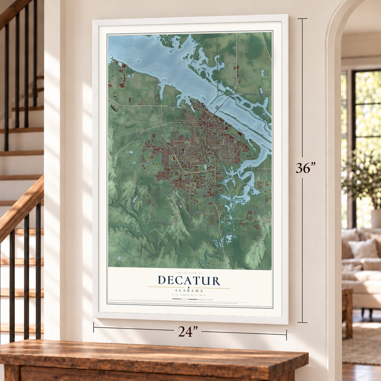
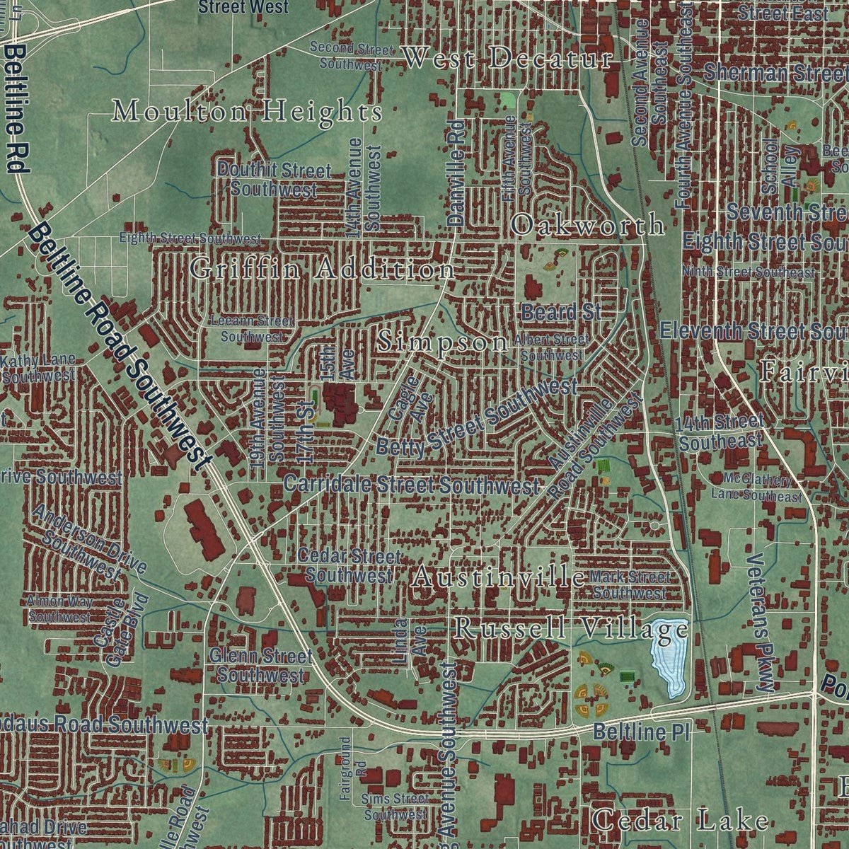
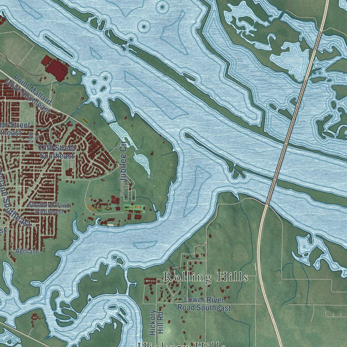
Explore Decatur, Alabama from a whole new perspective. Created using aerial imagery and detailed geographic data, this map captures Decatur building by building, with labeled streets, familiar landmarks, and shaded topographical relief that highlights the natural contours of the landscape.
Combining modern data with the timeless character of a vintage atlas, this map is just as interesting up close as it is beautiful on the wall. Whether you grew up in Decatur, spent memorable years there, or call it home today, this unique map is a great way to celebrate a place that means something to you. Zoom in on the preview to look for your street, and then order a print to put your memories on the wall.
Three ways to hang it
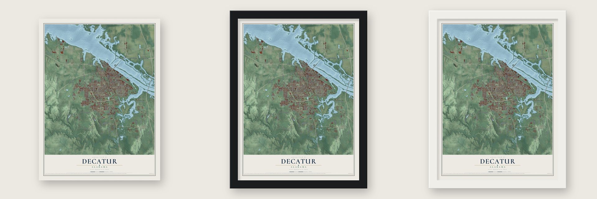
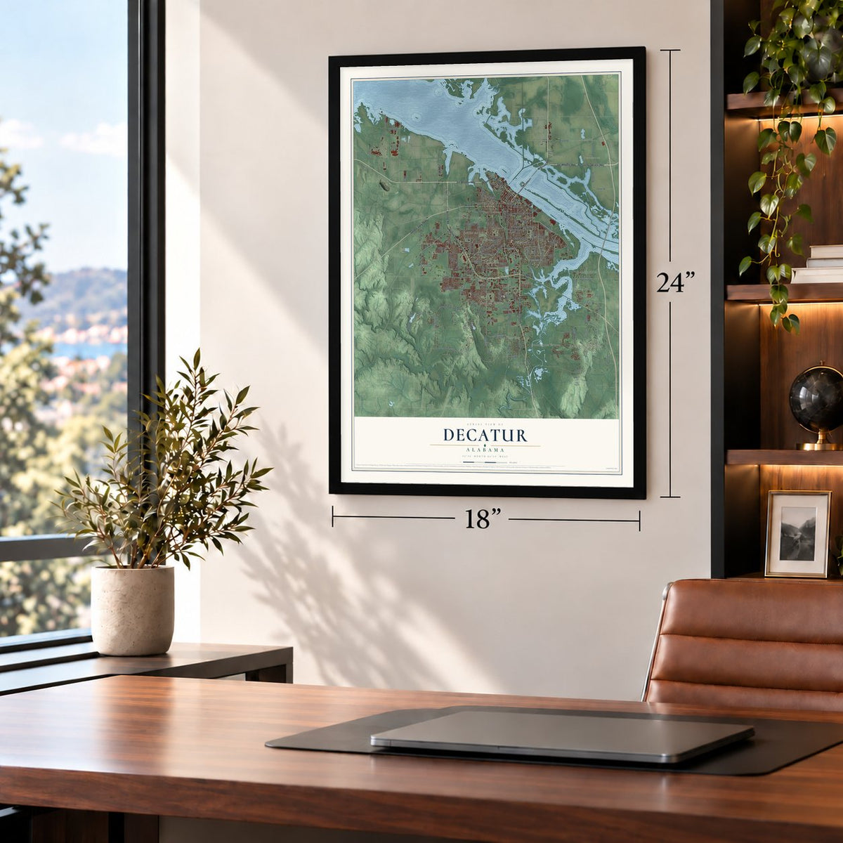
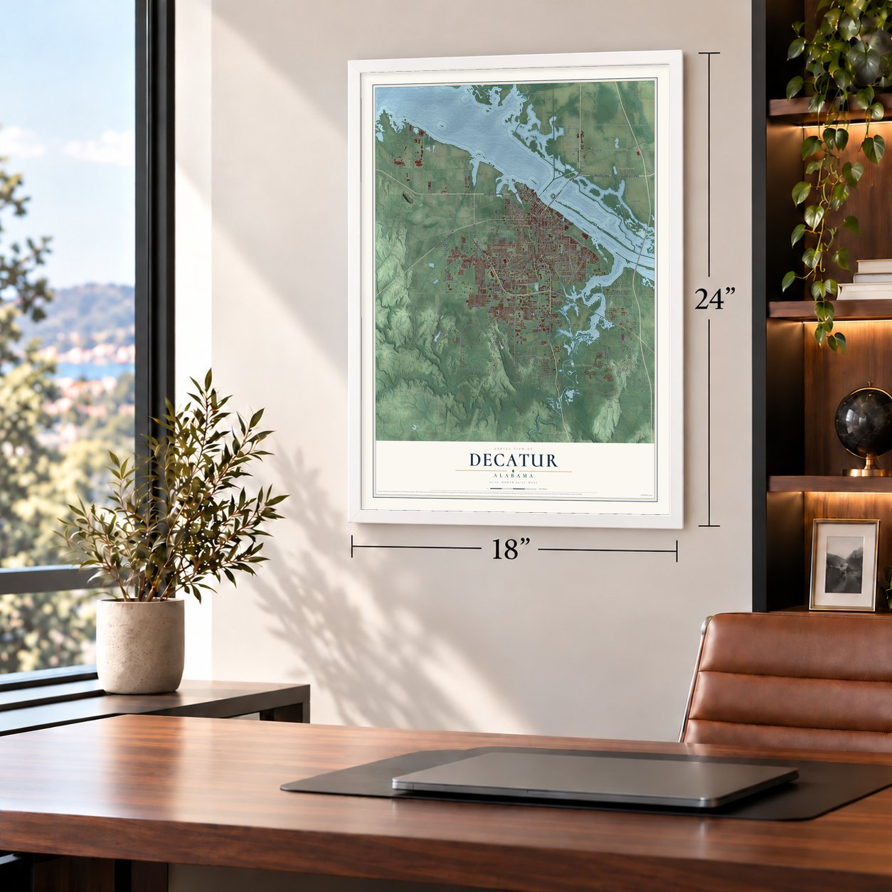
Unframed archival matte, a black wood frame or a white wood frame.
Up close
Geography Worth Displaying
This map was created using accurate cartographic data and authoritative geographic sources, including the U.S. Geological Survey and the Census Bureau. The map brings together terrain, waterways, roads, and building detail. The majority of the streets are labeled, houses are accurately depicted, and the topography is derived from government sources. Combining local data with carefully composed color and shading leads to this beautifully detailed Decatur artwork for your wall.
Rather than simply showing street outlines, we’ve included as many of the street names as we could reasonably fit on the map while keeping their names legible. Zoom in on the high resolution preview to see exactly what’s on the map. We truly set out to create a statement piece for anyone who loves Decatur. So whether it’s for you, or a gift for someone you love, we hope this map of Decatur brings back fond memories.
Read the story behind this map of Decatur, Alabama from 2026.

About Decatur, Alabama
Decatur is a city of 57,938 people and the county seat of Morgan County, on the Tennessee River in northern Alabama. In the 1810s Dr. Henry W. Rhodes, an early landowner, ran a ferry across the river here, and the spot was known as Rhodes Ferry Landing. On June 16, 1820, the town was named for Stephen Decatur, the naval hero of the War of 1812, and the legislature incorporated it in 1826. In 1836 the town became the eastern end of the first railroad west of the Appalachians, the Tuscumbia, Courtland and Decatur, and the river crossing grew into a shipping hub.
That crossing made Decatur a prize in the Civil War, and by the war's end federal troops had torn down all but three buildings to build barracks. The rebuilt town lost people to yellow fever in 1877 and again in 1888. In 1886 a developer, the Decatur Land, Improvement, and Furnace Company, started selling the idea of New Decatur to the southeast, and in September 1916 its voters renamed it Albany to shed the Decatur name. The two towns shared the cost of the Keller Memorial Bridge, and after the Alabama Supreme Court struck down a 1923 merger, the legislature joined them for good in 1927.
“So far as the law is concerned it knows neither native nor alien, Jew nor Gentile, black nor white. This case is no different from any other. We have only to do our duty without fear or favor.”
- Hood stopped at the riverFrom Oct. 26-29, 1864, Confederate Lt. Gen. John Bell Hood tried to take his army across the Tennessee at Decatur on his way to reclaim Nashville. Brig. Gen. Robert S. Granger's Union garrison held him off, helped by two gunboats, and Hood marched west to cross at Tuscumbia, some 40 miles away. The delay helped doom his December attempt on Nashville.
- The Cherokee at Decatur LandingThree detachments of Cherokee being removed from their homelands came ashore at what is now Rhodes Ferry Park. Because the Muscle Shoals were hard to navigate, the new railroad carried them on to Tuscumbia Landing. The Major Ridge party arrived with 471 people on March 7, 1837, Lt. Edward Deas brought 800 on June 9, 1838, and Lt. Robert H. K. Whiteley brought 1000 on June 21, 1838.
- George Washington Carver in 1935The East End school, the only school for Black children in the Albany section, moved into a new building in 1928, and in 1935 it became the first school in Alabama named for Carver. He came for the renaming on June 2, 1935, and gave the graduating class of the Decatur Negro High School its baccalaureate sermon, speaking to an integrated crowd of more than 1,000 in the segregated Princess Theater. Carver Elementary closed in 1966.
- A judge's courage in 1933Circuit Judge James E. Horton Jr. presided over Haywood Patterson's retrial in Decatur in 1933. Finding no evidence to back up the rape charges, he set aside the conviction and ordered a new trial. Alabama's attorney general and its chief justice leaned on him until he was taken off the case, and he lost re-election in 1934, though his home county of Limestone backed him by a wide margin.
- Austinville's championship teamsAustinville High School opened in 1937 on land A.J. Roper donated, and it taught country students for more than two decades. Coach J.A. Jones's basketball team won the state title in 1953, and his successor, Earl Morris, won three in a row in 1957, 1958 and 1959. After Austinville joined Decatur in 1959, the building became an elementary school.
Find your street
Names on the Decatur map
Every name below is printed on this map. Look for your street, your school, the park where you played, or the pond down the road.
Places and landmarks24
- Decatur City Hall
- Burningtree Mountain
- Sweetwater
- Irvington
- Albany
- Austinville
- Basham
- Bayside
- Burningtree Estates
- Cedar Lake
- Crowtown
- Fairview
Show all 24 places
- Flint City
- Griffin Addition
- Hickory Hills
- Longleaf Estates
- Moulton Heights
- Oakworth
- Rolling Hills
- Russell Village
- Sherwood Estates
- Simpson
- West Decatur
- Whiteside
Streets and roads147
- Bee Line Highway
- Joe Wheeler Highway
- Sixth Avenue Southeast
- Wilson Street Northwest
- Gordon Terry Parkway
- Beltline Road Southwest
- Huntsville-Decatur Highway
- Beltline Road
- Central Parkway Southwest
- Danville Road
- Spring Avenue Southwest
- Eighth Street Southeast
- Market Street Northeast
- Airport Road
- Norris Mill Road
- Modaus Road Southwest
- Chapel Hill Road Southwest
- Eleventh Street Southeast
- Betty Street Southwest
- Vestavia Drive Southwest
- Pennylane Southeast
- Red Hat Road
- Mud Tavern Road Southwest
- Woodall Road
- Seventh Street Southeast
- Carridale Street Southwest
- Sherman Street Southeast
- Bean Road
- Mitchell Road
- Upper River Road
Show all 147 streets
- Zeetler Road
- Glenview Drive
- Beltline Place
- Oak Lea Road
- Veterans Parkway
- Iverson Boulevard
- Plugs Drive
- Jubilee Circle
- Crusher Road
- 17th Street
- Deere Road
- Beard Street
- Day Road
- Point Mallard Parkway
- Danville Road Southwest
- Point Mallard Drive Southeast
- Austinville Flint Road Southwest
- 19th Avenue Southeast
- Second Avenue Southeast
- Day Road Southwest
- Old Moulton Road
- Line Street Northeast
- Indian Hills Road Southeast
- Sandlin Road Southwest
- Fourth Avenue Southeast
- 16th Avenue Southeast
- 13th Street Southeast
- Bibb Garrett Road
- Willow Bend Road
- South Chapel Hill Road Southwest
- Auburn Drive Southwest
- 14th Avenue Southwest
- 20th Avenue Southeast
- Shady Grove Lane Southwest
- State Docks Road Northwest
- Twelfth Avenue Northwest
- Lee Street Northeast
- Hickory Hill Road
- Mallard Fox Drive Northwest
- Old US Highway 31
- 19th Avenue Southwest
- Austinville Road Southwest
- George Russell Pvt Drive
- Harrison Street Southeast
- Vine Street Northwest
- Cedar Street Southwest
- Lower River Road Southeast
- Moulton Street East
- 14th Street Southeast
- Galahad Drive Southwest
- Anderson Drive Southwest
- Rural Grove Road
- Commerce Drive
- Third Street Northwest
- Castle Gate Boulevard
- Brookmeade Road Southeast
- Douthit Street Southwest
- Jarvis Street Southwest
- Bunny Lane Southwest
- Sewell Road
- Minor Hill Road
- Cagle Avenue
- Upstate Park Road
- Glenn Street Southwest
- Ben Poole Road
- Lake Cove Drive
- Ashwood Drive
- Sandy Road
- Chula Vista Drive
- Valley Park Drive
- School Alley
- Canary Way
- Par Pvt Drive
- Main Avenue
- Linda Avenue
- Kayo Road
- 15th Avenue
- West Vw
- Fifth Avenue Southwest
- Agrilane
- Stratford Road Southeast
- Country Club Road Southeast
- Kathy Lane Southwest
- Church Street Northeast
- Fall Bluff Pvt Drive
- Beech Street Southeast
- Bennich Road Southeast
- Independence Avenue
- Mark Street Southwest
- Laurel Street Southwest
- Bridlepath Southwest
- Trinity Lane
- Fox Run Road
- Moulton Street West
- Second Street Southwest
- Bird Spring Road
- Eighth Street Southwest
- Red Bank Road Southeast
- Ninth Street Southeast
- North Street Southeast
- Process Drive Northwest
- McGlathery Lane Southeast
- Sexton Road Southeast
- Island Way Northwest
- Almon Way Southwest
- Albert Street Southwest
- Sims Street Southwest
- Leeann Street Southwest
- San Souci Cave Road
- Sims Road Southwest
- Luker Road Southwest
- Mountain Valley Road
- Fairground Road
- Deere Road Southeast
- 15th Place
- County Line Road
- 24th Street
Names are listed as they appear on the printed map. Zoom into the product photos to find them.
The art of mapping a place
How This Map Was Made
Real places. Remarkable detail. Discover the layers that turn geographic data into a map of home.

The view from above
Aerial imagery reveals the character of the land: woodland, open fields, and the patterns of a place.

The shape of the land
Elevation data brings hills, valleys, and subtle changes in the landscape into view.

The details of home
Roads, waterways, and building footprints come together to make the map feel unmistakably local.

Geography becomes art
Considered color, shading, and typography bring the layers together in a map made for your wall.


Process illustrated with Mendon, Massachusetts. Aerial imagery: USDA NAIP. Terrain: USGS 3D Elevation Program. Map details and finished artwork: KNOWOL.
The Details
About This Print
Choose an archival matte print, or a black or white Ayous wood frame. The archival matte print is unframed.
Select your size and finish above to see the matching product image and price.
Materials & Craftsmanship
A contemporary map with the character of a classic atlas, printed on archival matte paper. Optional frames are made from Ayous wood.
Your printed map does not include the watermark shown in the full-map preview.
Shipping & Delivery
Free shipping within the United States. Every print is made to order in the USA.
Buying a gift? Add a note in your cart and we'll include it. We never put prices in the package.
Prints ship within 2 to 3 business days. Allow 7 to 10 days total from ordering for delivery. Timing may vary during holidays or periods of high order volume.
Read our shipping policy.
Returns and damaged prints
Each print is made to order. Change-of-mind refunds are not available after production.
If your print arrives damaged, misprinted or incorrect, contact support@knowol.com within 30 days of receiving it. Include your order number, photos and a description of the issue.
Read our full refund and replacement policy. For questions about your order, email support@knowol.com.
Find your town
Looking for another city?
Find a map of home in our Alabama collection, or any town in the country.
Nearby
Maps of towns near Decatur
Know someone from one of these towns? Their map makes a great gift.
 Trinity
, Alabama
From $39.99See the map
 Priceville
, Alabama
From $39.99See the map
 Mooresville
, Alabama
From $39.99See the map
More maps nearby: Hartselle, Hillsboro, Somerville, Triana and Falkville.