
Search for another town
Free U.S. delivery 7 to 10 days after you order
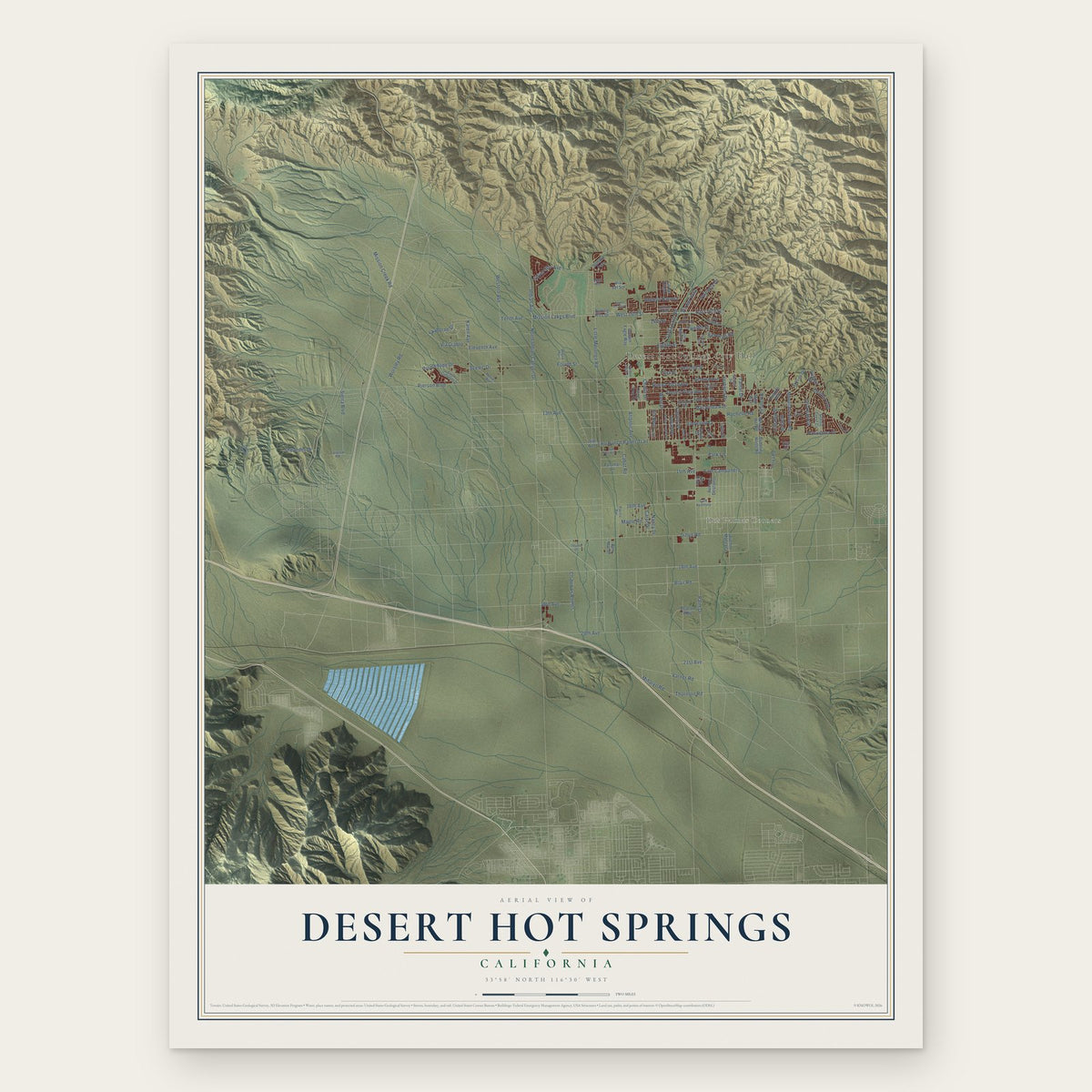
Desert Hot Springs, California Map Art
Building by building, with labeled streets and shaded relief.
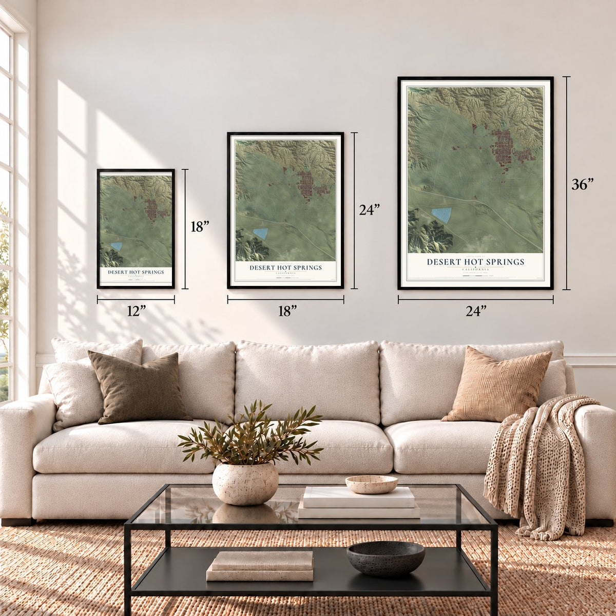
12" x 18" Archival Matte Print
A Map of Home. A Work of Art.
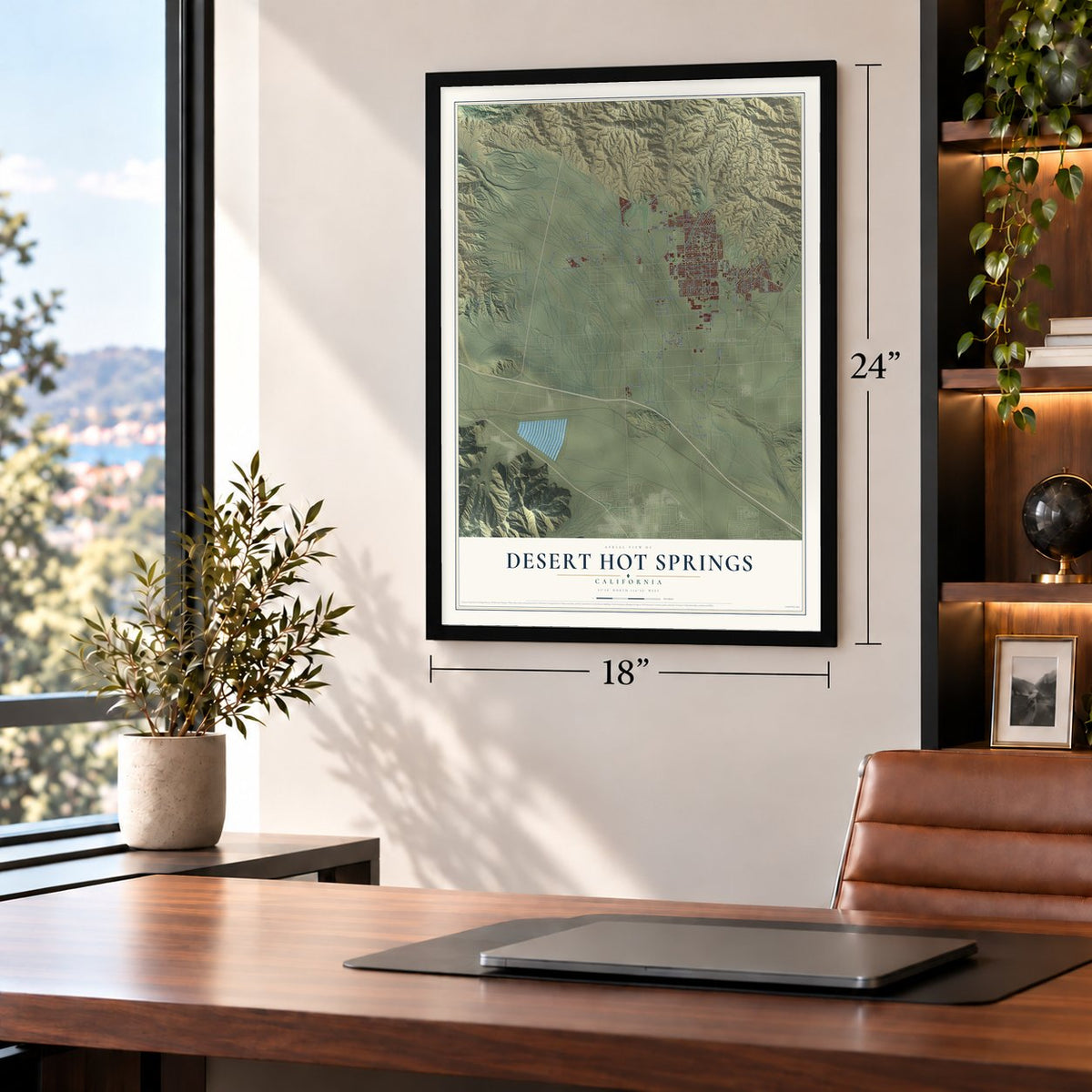
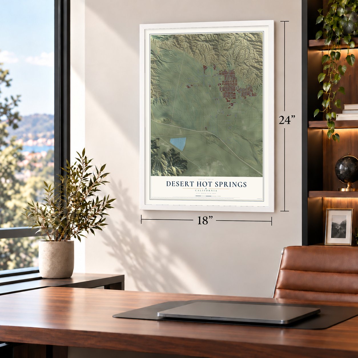
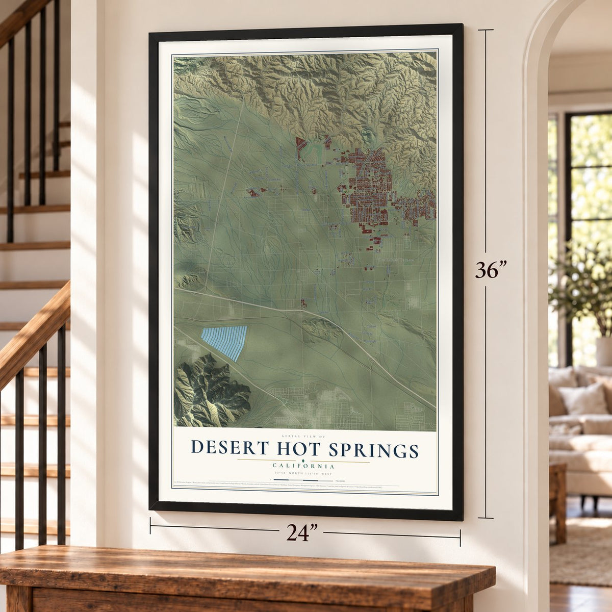
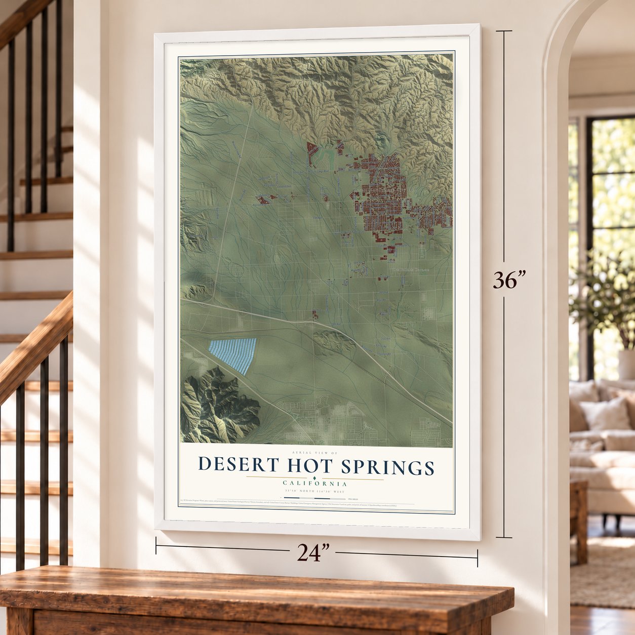
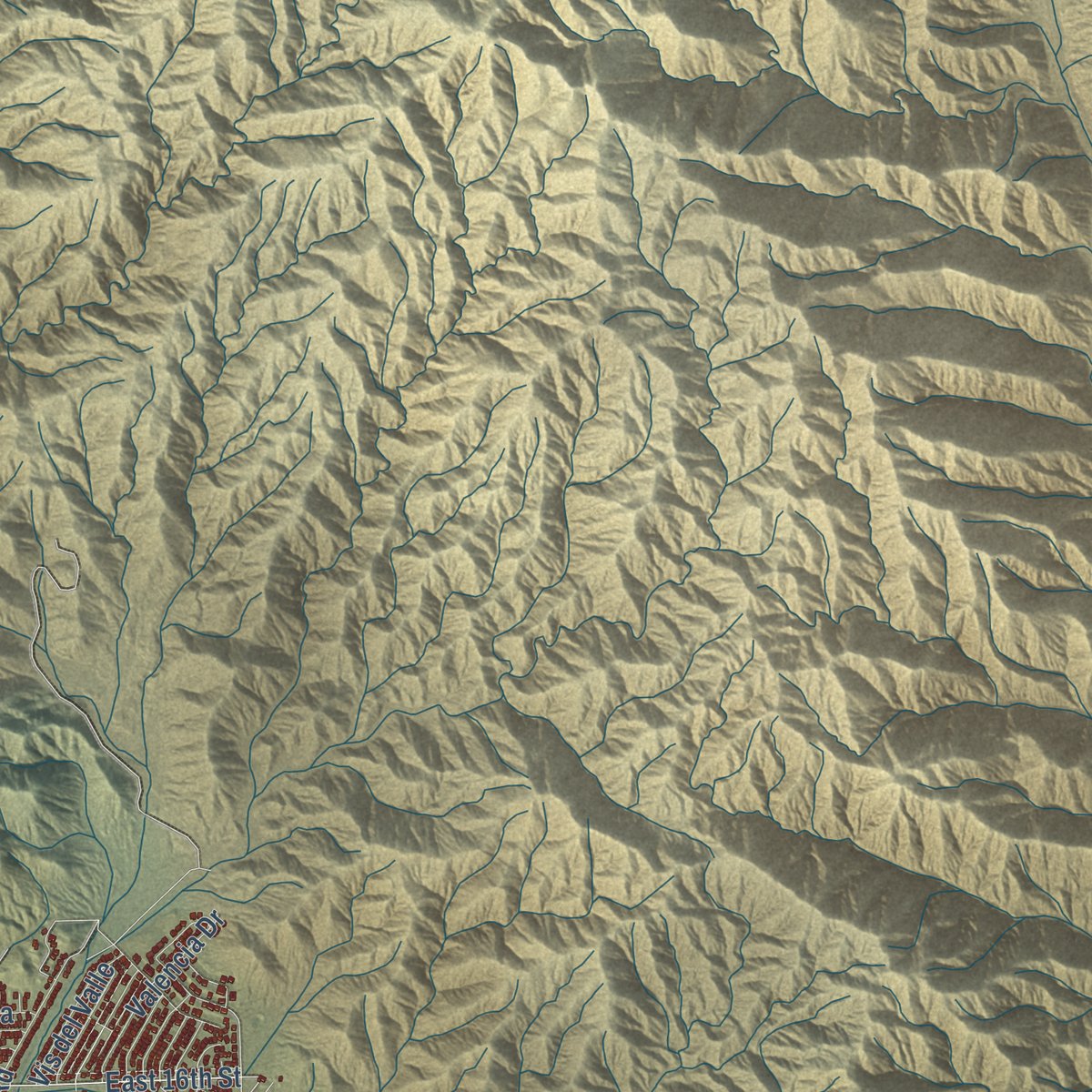
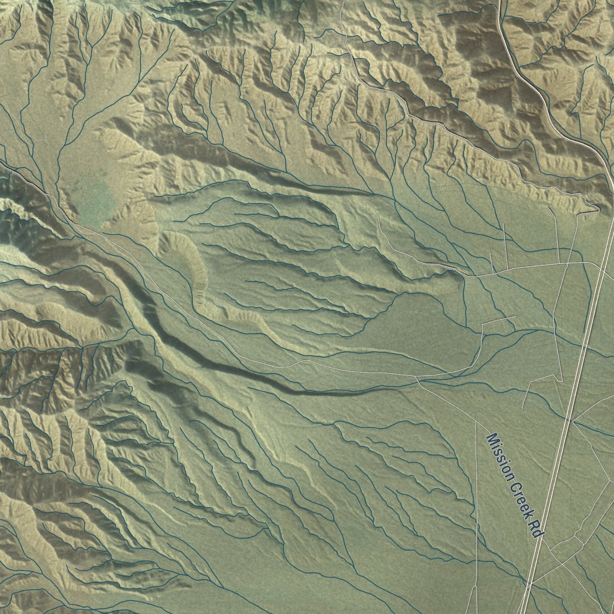
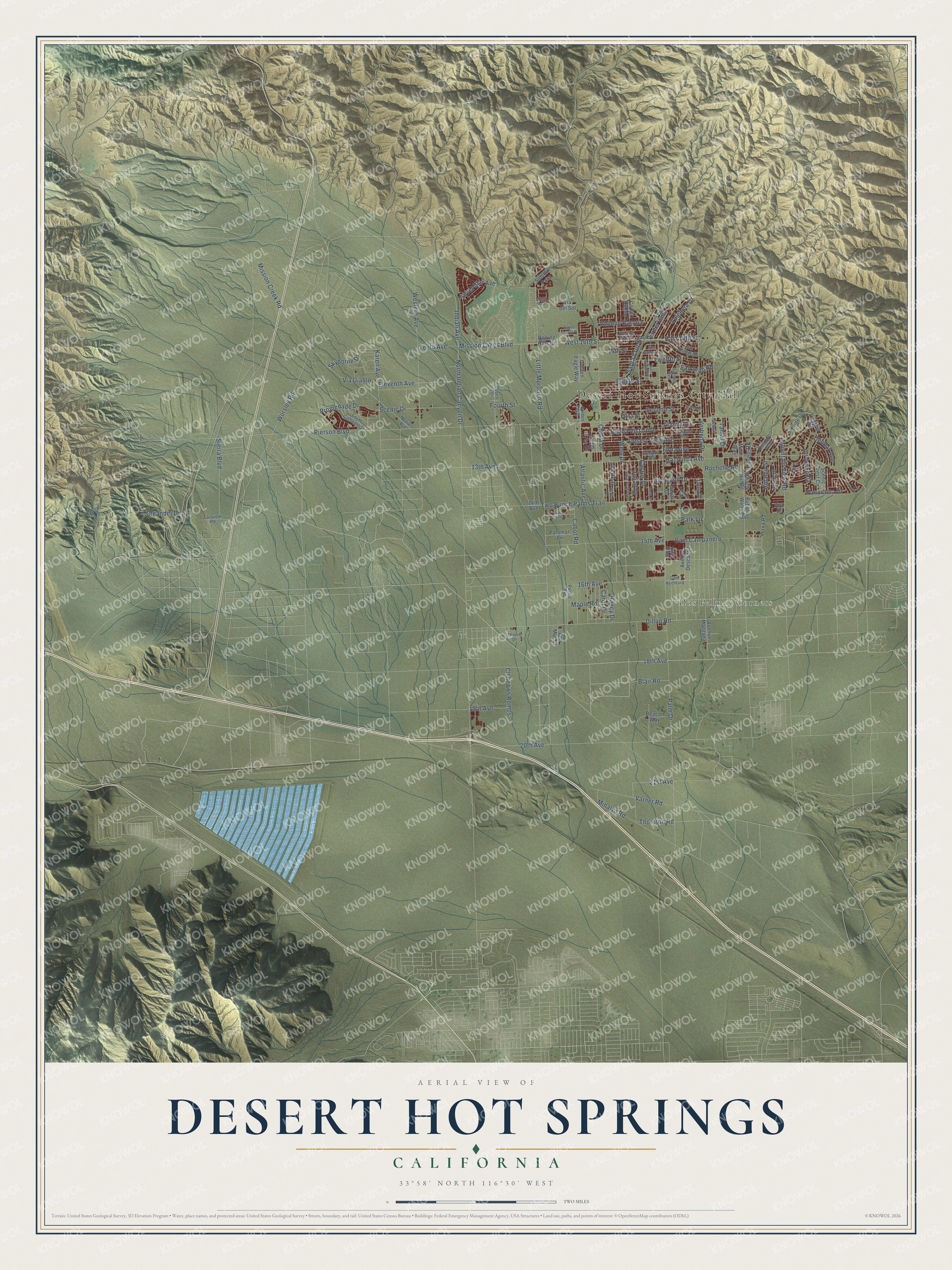
Explore Desert Hot Springs, California from a whole new perspective. Created using aerial imagery and detailed geographic data, this map captures Desert Hot Springs building by building, with labeled streets, familiar landmarks, and shaded topographical relief that highlights the natural contours of the landscape.
Combining modern data with the timeless character of a vintage atlas, this map is just as interesting up close as it is beautiful on the wall. Whether you grew up in Desert Hot Springs, spent memorable years there, or call it home today, this unique map is a great way to celebrate a place that means something to you. Zoom in on the preview to look for your street, and then order a print to put your memories on the wall.
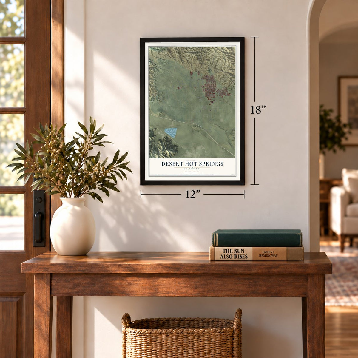
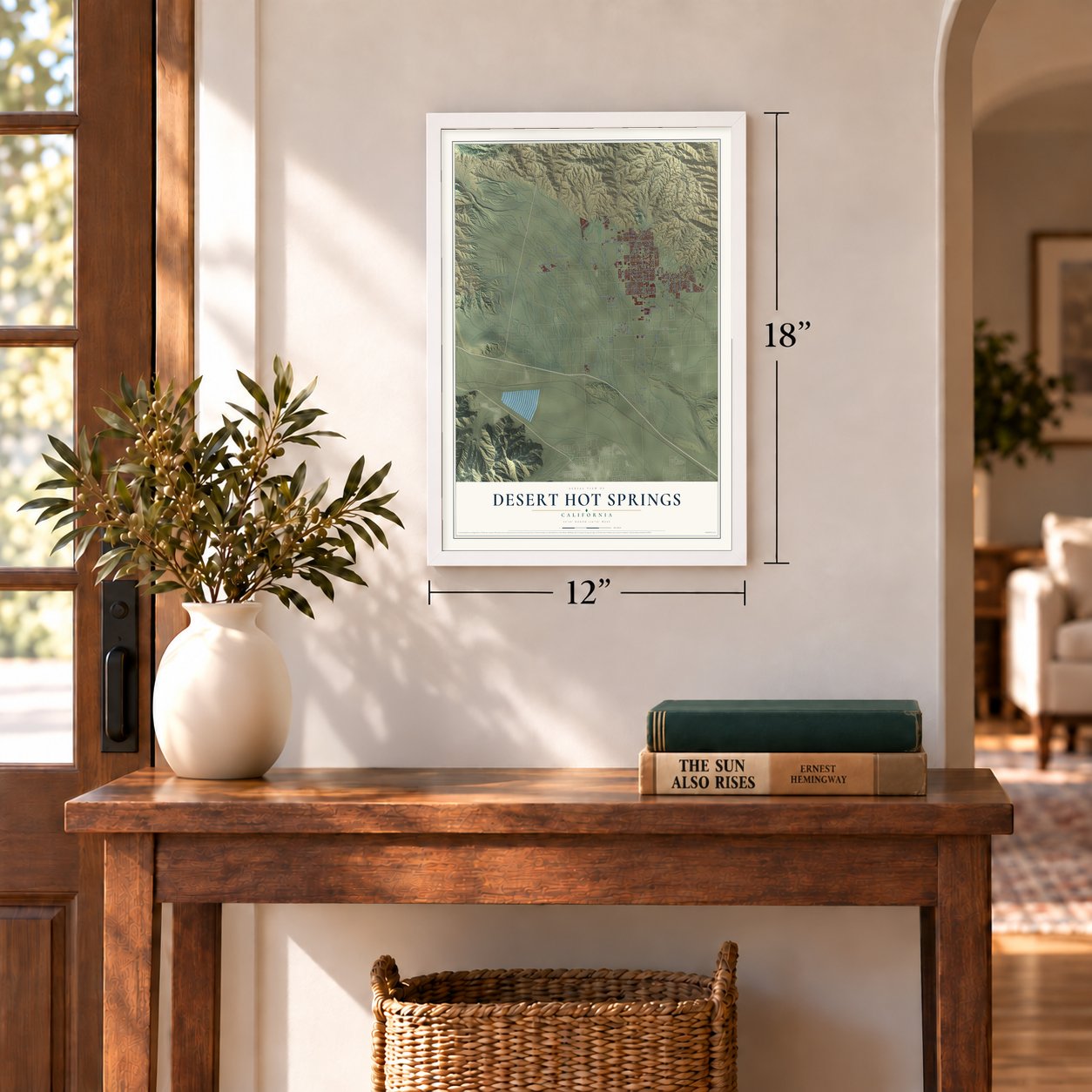
Three ways to hang it
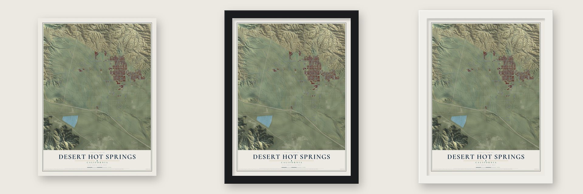
Unframed archival matte, a black wood frame or a white wood frame.
Up close
Geography Worth Displaying
This map was created using accurate cartographic data and authoritative geographic sources, including the U.S. Geological Survey and the Census Bureau. The map brings together terrain, waterways, roads, and building detail. The majority of the streets are labeled, houses are accurately depicted, and the topography is derived from government sources. Combining local data with carefully composed color and shading leads to this beautifully detailed Desert Hot Springs artwork for your wall.
Rather than simply showing street outlines, we’ve included as many of the street names as we could reasonably fit on the map while keeping their names legible. Zoom in on the high resolution preview to see exactly what’s on the map. We truly set out to create a statement piece for anyone who loves Desert Hot Springs. So whether it’s for you, or a gift for someone you love, we hope this map of Desert Hot Springs brings back fond memories.
Read the story behind this map of Desert Hot Springs, California from 2026.

Find your street
Names on the Desert Hot Springs map
Every name below is printed on this map. Look for your street, your school, the park where you played, or the pond down the road.
Places and landmarks2
- Desert Hot Springs City Hall
- Dos Palmas Corners
Streets and roads125
- Verbena Drive
- 18th Avenue
- Indian Avenue
- Mission Lakes Boulevard
- Flora Avenue
- East 16th Street
- Pierson Boulevard
- Palm Drive
- Little Morongo Road
- West Drive
- Hacienda Avenue
- Two Bunch Palms Trail
- Mission Creek Road
- 20th Avenue
- Dillon Road
- Desert View Avenue
- Worsley Road
- Cactus Drive
- Western Avenue
- Atlantic Avenue
- Cholla Drive
- Ironwood Drive
- Fourth Street
- West 16th Street
- Eleventh Avenue
- 15th Avenue
- North Indian Canyon Drive
- Eighth Street
- Buena Vista Avenue
- Acoma Avenue
Show all 125 streets
- Via Real
- Mountain View Road
- Santa Cruz Road
- Mihalyo Road
- Varner Road
- Sierra Boulevard
- Scenic Drive
- Karen Avenue
- Cam Campanero
- Twelfth Street
- Cabot Road
- First Street
- Silver Star Avenue
- Skyborne Drive
- Hidalgo Street
- Promenade Drive
- Second Street
- 16th Avenue
- Avenue Barona
- Cll Amapola
- Inaja Street
- Cll de Los Romos
- Valencia Drive
- Tamar Drive
- Panorama Drive
- Oleander Drive
- Maple Road
- Julian Drive
- 21st Avenue
- Tenth Avenue
- 13th Avenue
- Carol Drive
- Blair Road
- 19th Avenue
- Vis del Valle
- Deodar Avenue
- Thornton Road
- Via Diablo
- Park Lane
- Rochelle Road
- San Ardo Road
- Eliseo Road
- 14th Street
- Nancy Drive
- Luis Drive
- Miracle Hill Road
- Skyline Drive
- Cuando Way
- Redbud Road
- Beacon Way
- Bubbling Wells Road
- Avenue Descanso
- Avenue Manzana
- Carob Tree Drive
- Palomar Lane
- Maui Way
- Golden Eagle Way
- Rolling Hills Drive
- Summit Pass
- Scenic Crest Circle
- Yerxa Road
- Cll del Diablo
- Ben Mar Drive
- Sarita Drive
- 14th Avenue
- Via del Sol
- Ava Court
- Cam Aventura
- Cahuilla Avenue
- Granada Avenue
- Pomelo Drive
- El Rio Lane
- Avenue Ladera
- Mollies Avenue
- Santa Ysabel Drive
- Pacific Avenue
- San Rafael Road
- Sunset Avenue
- South Crescent Street
- San Jacinto Lane
- Desert Terrace
- San Miguel Road
- Golden Eagle Lane
- Fairview Road
- Thumb Drive
- Quail Ridge
- Mesa Avenue
- Ocotillo Road
- Third Street
- La Mesa Drive
- San Marcus Road
- Cll Azteca
- Overlook Drive
- Salida del Sol Place
- Super Creek
Names are listed as they appear on the printed map. Zoom into the product photos to find them.
About Desert Hot Springs, California
Desert Hot Springs is a city of 32,512 people in Riverside County, in the Coachella Valley, and it takes its name from its natural hot springs. Cahuilla people from the village of Seven Palms often camped here in winter for the warmth, though they never made a permanent home here. Cabot Yerxa later wrote in The Desert Sentinel that Hilda Maude Gray was the first to homestead here, filing her claim in 1908.
L. W. Coffee founded the town on July 12, 1941, on a site of just one square mile around the corner of Palm Drive and Pierson Boulevard, and he chose its name for the springs. Small spa hotels drew tourists in the 1950s, speculators laid out thousands of lots across six square miles, and retirees bought homes. The city incorporated in 1963 with 1,000 residents. Facing a judgment of almost $6 million, it filed for bankruptcy in 2001, and it got out in 2004 by selling municipal bonds.
“Cabot Yerxa came to this desert in 1913 as one of the very first homesteaders. He walked in during the night from the railroad with some food in a paper bag and a quart of water but he had no blanket.”
- Cabot's PuebloSoon after he arrived, Cabot Yerxa found the hot water under Miracle Hill. He spent 20 years building a large Pueblo Revival house there by hand, and it ranks among the oldest adobe-style buildings in the county. After his death in 1965 it became Cabot's Pueblo Museum, a state historical site, and in February 2008 the site added a shop and gallery, Cabot's Trading Post & Gallery.
- Hot water, cold waterThe Mission Creek Fault splits off the San Andreas and divides the ground under the city into two aquifers. The hot one feeds the spas and resorts, and its mineral water has no sulfur smell. The cold one supplies the city's drinking water, which has won awards for its taste.
- Over 80 spa hotelsThe town had more than 80 spa hotels in the 1950s and 1960s. The Martin family built Miracle Manor Retreat, one of the first, in 1949 and sold it in 1981 to Lois Blackhill, a local legend. She died in 1996, and the next year her family passed the place to two of her friends and longtime guests, designer April Greiman and architect Michael Rotondi, who brought it back to the way it looked when it was new.
- A first in 2014No city in Southern California legalized growing medical marijuana before Desert Hot Springs did. A CNBC special in 2014 featured it as the first city in California to allow commercial cultivation, and growers and developers soon crowded in.
Keep exploring California
Desert Hot Springs is one of 1,990 California towns we've mapped. Every dot on the map is a print of its own.
The search covers every state, California first.
Near Desert Hot Springs
Order 2 or more town maps and save 10%. Shown in the size and finish you picked above, so they hang as a set.
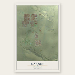
- Garnet 12" x 18" / Archival Matte Print $39.99
- Desert Edge 12" x 18" / Archival Matte Print $39.99
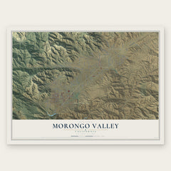
- Morongo Valley 12" x 18" / Archival Matte Print $39.99

More maps nearby: Whitewater, Cathedral City, Palm Springs, Sky Valley and Yucca Valley.
The art of mapping a place
How This Map Was Made
Real places. Remarkable detail. Discover the layers that turn geographic data into a map of home.

The view from above
Aerial imagery reveals the character of the land: woodland, open fields, and the patterns of a place.

The shape of the land
Elevation data brings hills, valleys, and subtle changes in the landscape into view.

The details of home
Roads, waterways, and building footprints come together to make the map feel unmistakably local.

Geography becomes art
Considered color, shading, and typography bring the layers together in a map made for your wall.


Process illustrated with Mendon, Massachusetts. Aerial imagery: USDA NAIP. Terrain: USGS 3D Elevation Program. Map details and finished artwork: KNOWOL.
The Details
About This Print
Choose an archival matte print, or a black or white Ayous wood frame. The archival matte print is unframed.
Select your size and finish above to see the matching product image and price.
Materials & Craftsmanship
A contemporary map with the character of a classic atlas, printed on archival matte paper. Optional frames are made from Ayous wood.
Your printed map does not include the watermark shown in the full-map preview.
Shipping & Delivery
Free shipping within the United States. Every print is made to order in the USA.
Buying a gift? Add a note in your cart and we'll include it. We never put prices in the package.
Prints ship within 2 to 3 business days. Allow 7 to 10 days total from ordering for delivery. Timing may vary during holidays or periods of high order volume.
Read our shipping policy.
Returns and damaged prints
Each print is made to order. Change-of-mind refunds are not available after production.
If your print arrives damaged, misprinted or incorrect, contact support@knowol.com within 30 days of receiving it. Include your order number, photos and a description of the issue.
Read our full refund and replacement policy. For questions about your order, email support@knowol.com.