
Search for another town
Free U.S. delivery 7 to 10 days after you order
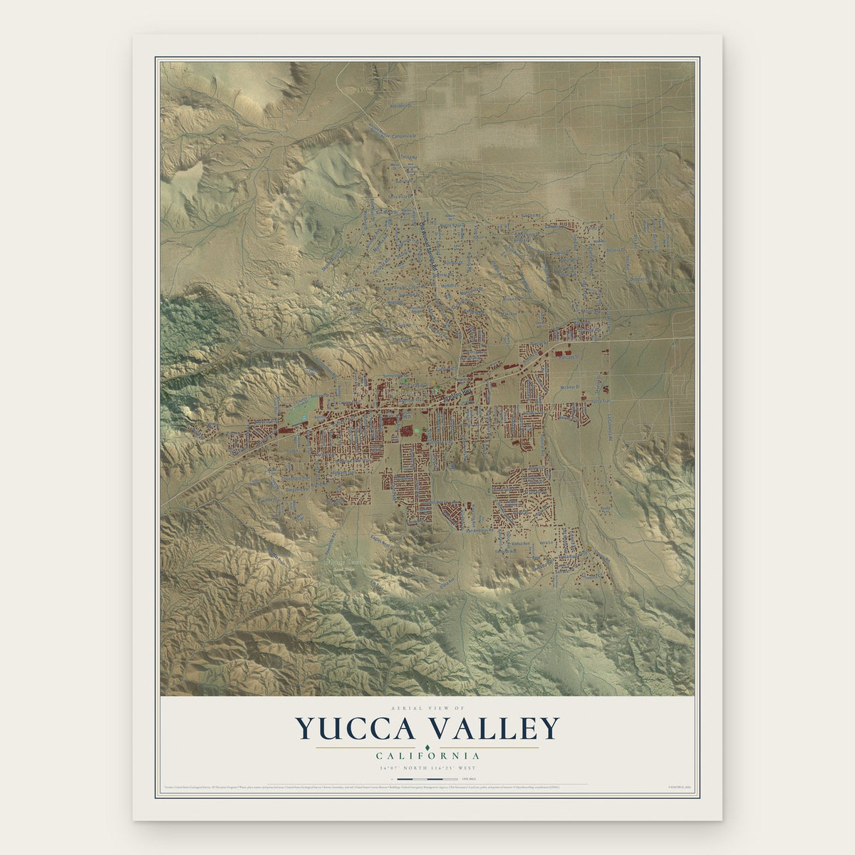
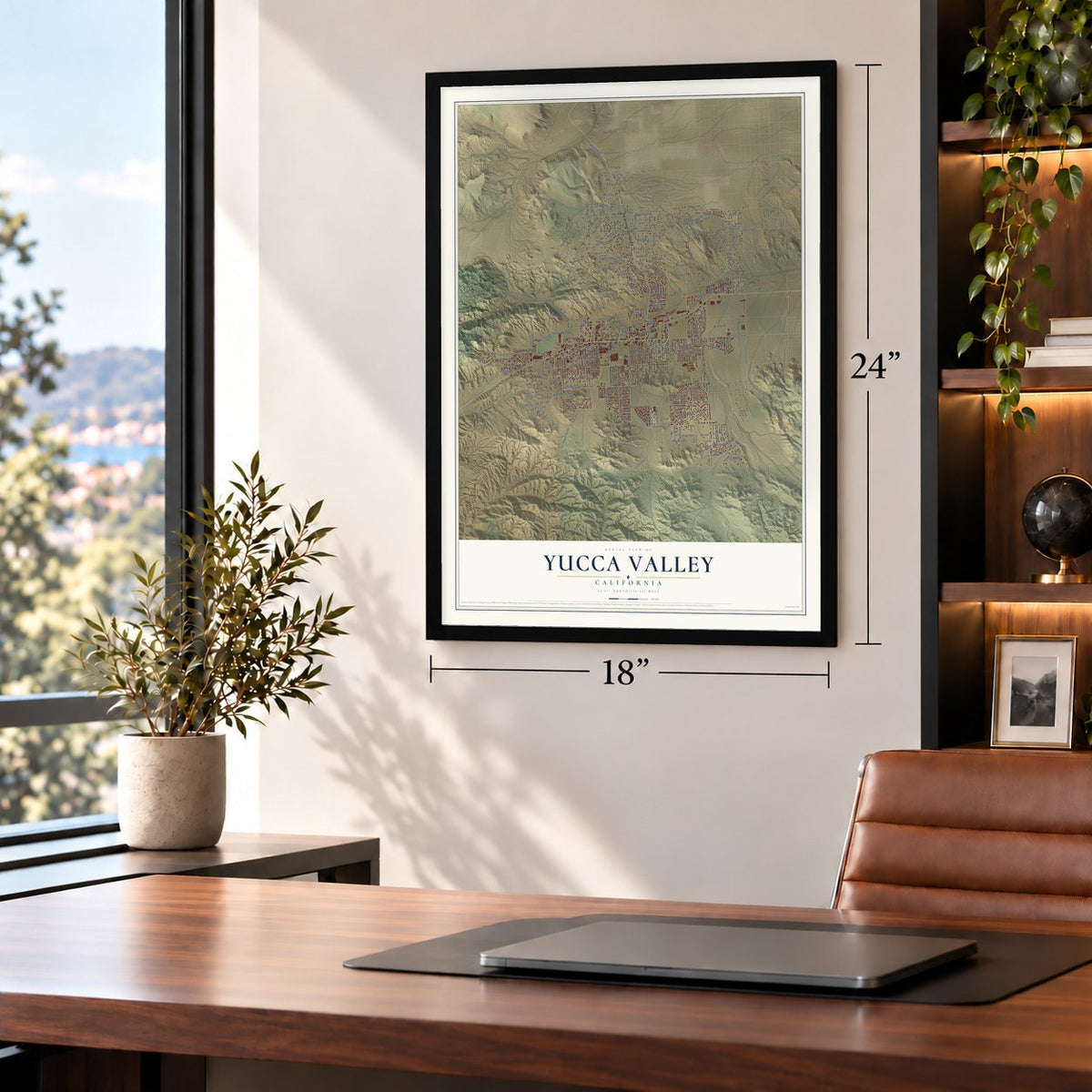
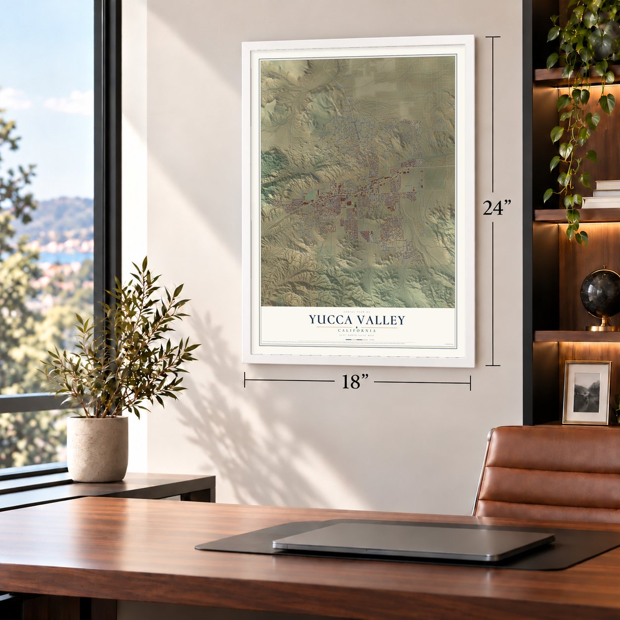
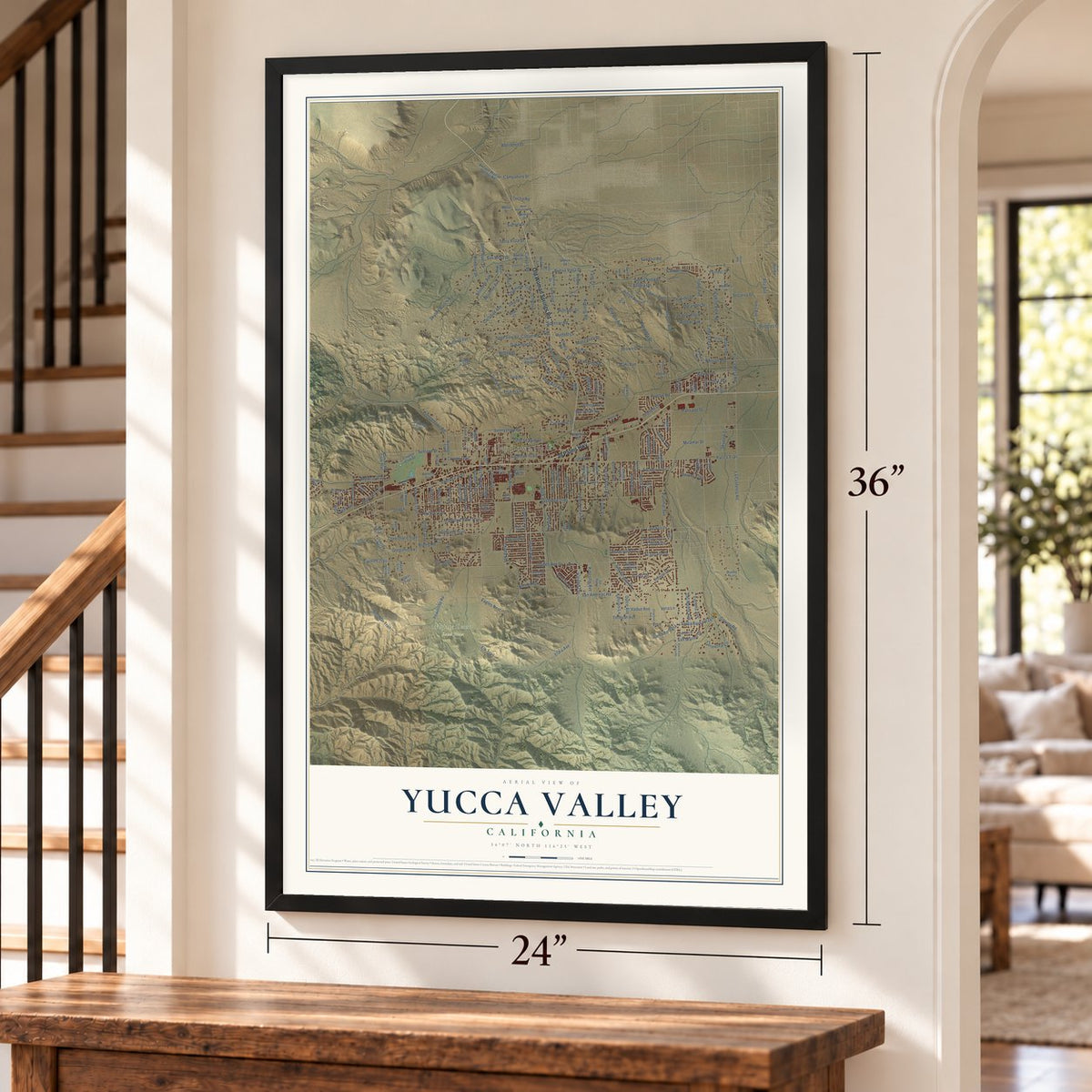
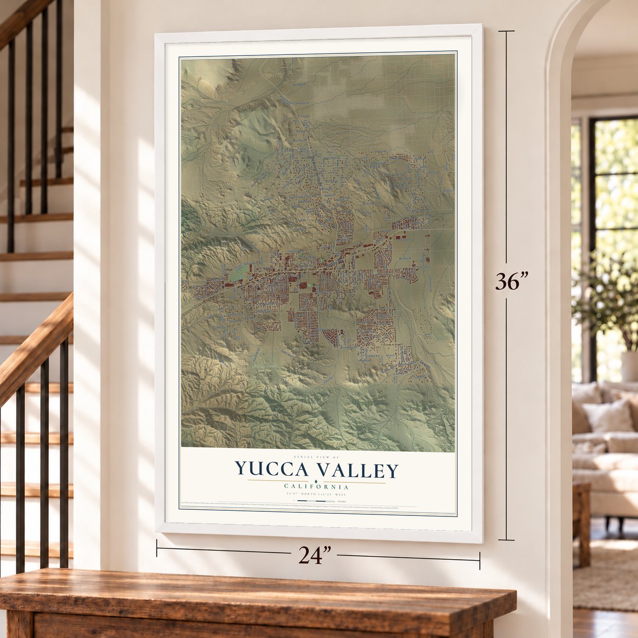
Yucca Valley, California Map Art
Building by building, with labeled streets and shaded relief.
12" x 18" Archival Matte Print
A Map of Home. A Work of Art.
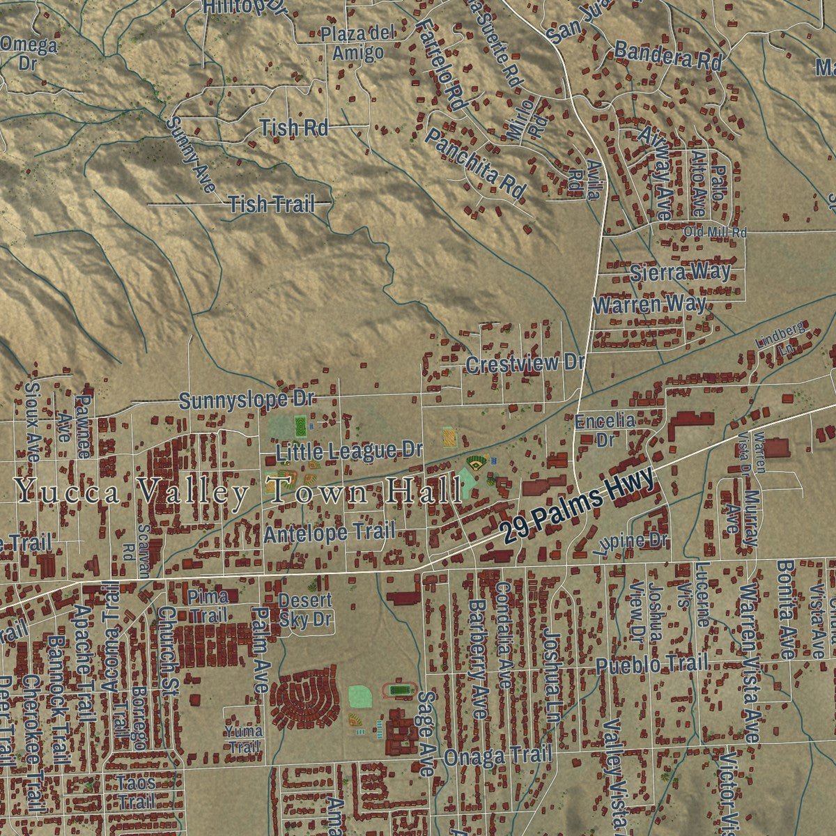
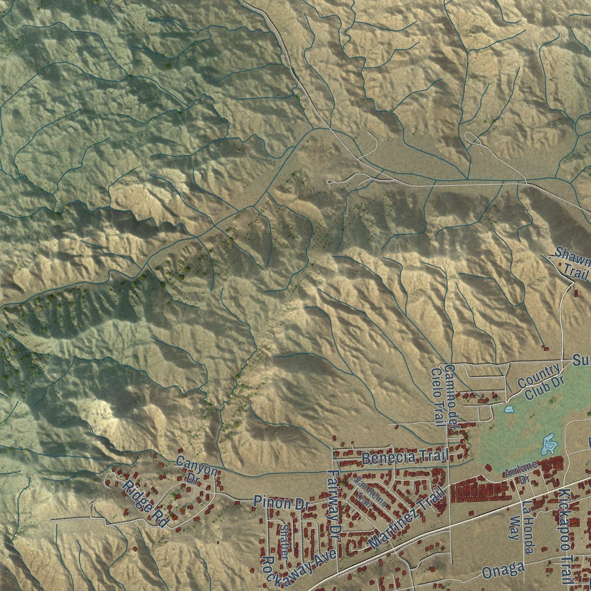
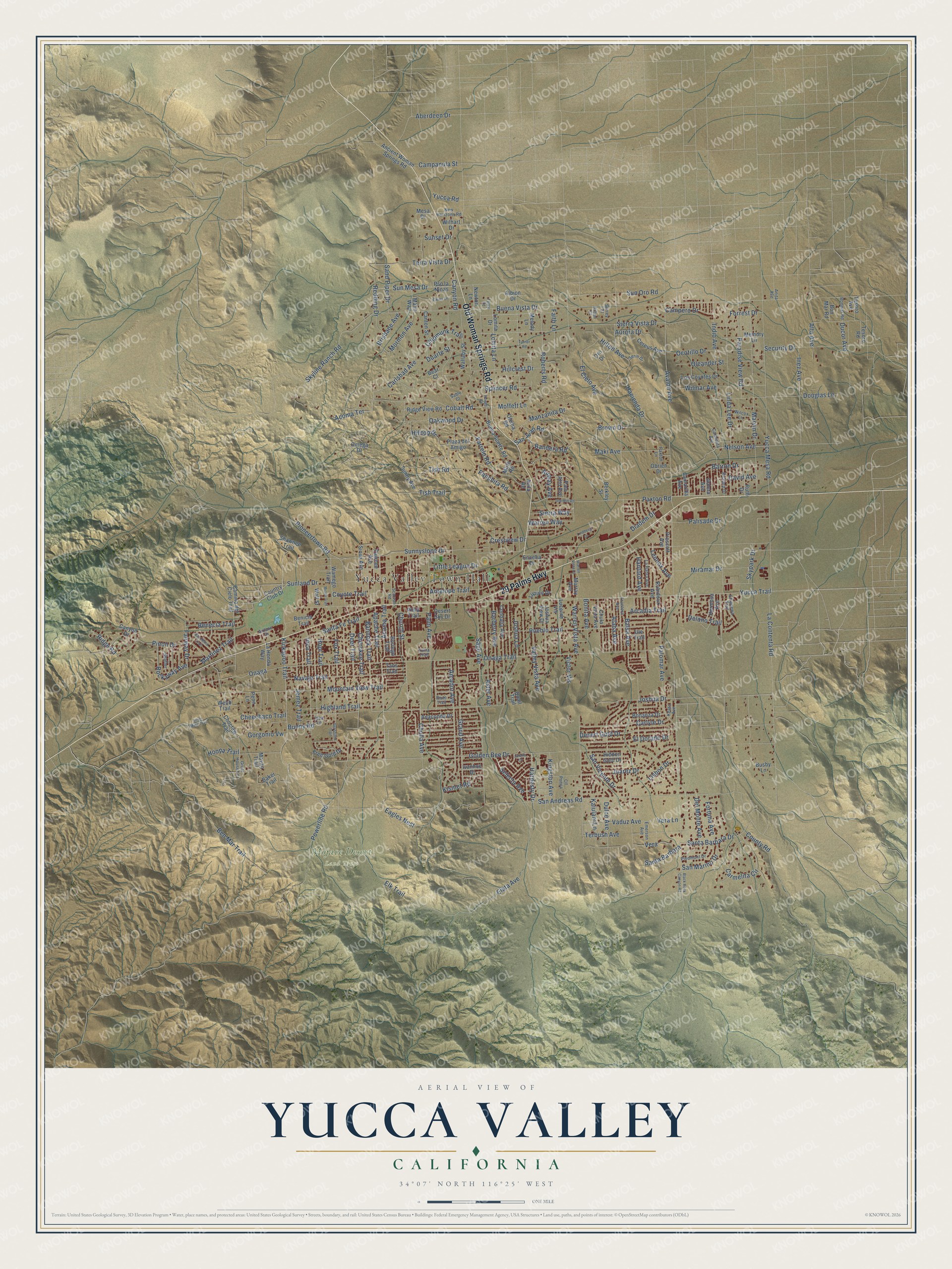
Explore Yucca Valley, California from a whole new perspective. Created using aerial imagery and detailed geographic data, this map captures Yucca Valley building by building, with labeled streets, familiar landmarks, and shaded topographical relief that highlights the natural contours of the landscape.
Combining modern data with the timeless character of a vintage atlas, this map is just as interesting up close as it is beautiful on the wall. Whether you grew up in Yucca Valley, spent memorable years there, or call it home today, this unique map is a great way to celebrate a place that means something to you. Zoom in on the preview to look for your street, and then order a print to put your memories on the wall.
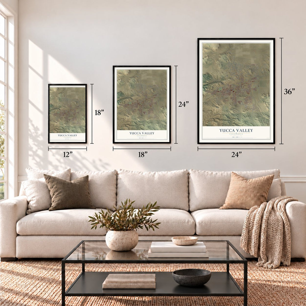
Three ways to hang it
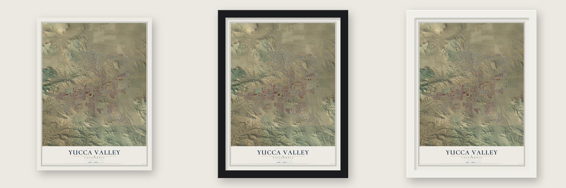
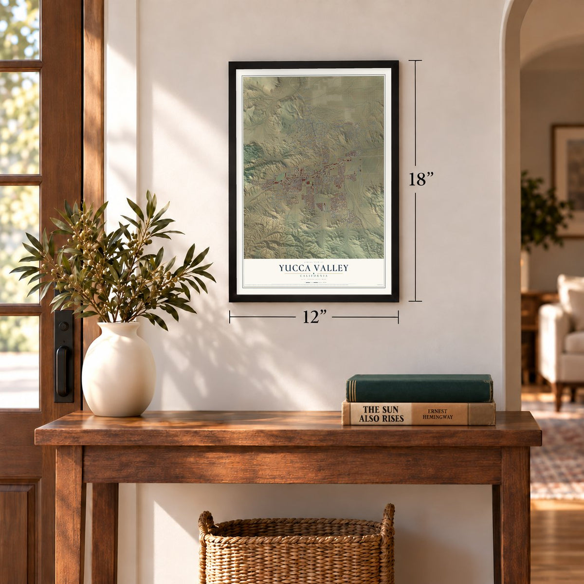
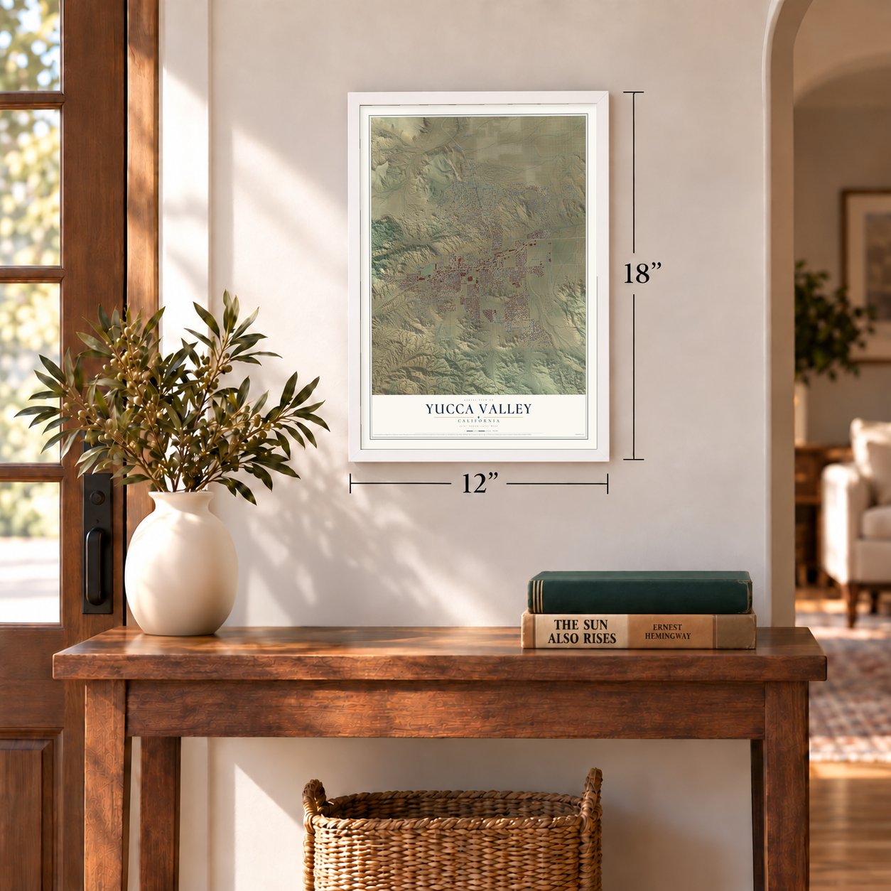
Unframed archival matte, a black wood frame or a white wood frame.
Up close
Geography Worth Displaying
This map was created using accurate cartographic data and authoritative geographic sources, including the U.S. Geological Survey and the Census Bureau. The map brings together terrain, waterways, roads, and building detail. The majority of the streets are labeled, houses are accurately depicted, and the topography is derived from government sources. Combining local data with carefully composed color and shading leads to this beautifully detailed Yucca Valley artwork for your wall.
Rather than simply showing street outlines, we’ve included as many of the street names as we could reasonably fit on the map while keeping their names legible. Zoom in on the high resolution preview to see exactly what’s on the map. We truly set out to create a statement piece for anyone who loves Yucca Valley. So whether it’s for you, or a gift for someone you love, we hope this map of Yucca Valley brings back fond memories.
Read the story behind this map of Yucca Valley, California from 2026.
Find your street
Names on the Yucca Valley map
Every name below is printed on this map. Look for your street, your school, the park where you played, or the pond down the road.
Places and landmarks2
- Yucca Valley Town Hall
- Mojave Desert Land Trust
Streets and roads265
- 29 Palms Highway
- Old Woman Springs Road
- Golden Bee Drive
- Tish Trail
- Acoma Trail
- Acoma Terrace
- Martinez Trail
- Skyline Ranch Road
- Ridge Road
- Yucca Trail
- Kickapoo Trail
- Inca Trail
- Onaga
- Buena Vista Drive
- Brown Drive
- Little League Drive
- Lennox Avenue
- Santa Barbara
- Vera
- Joshua Lane
- Indio Avenue
- San Andreas Road
- Sunnyslope Drive
- Balsa Avenue
- Onaga Trail
- Sage Avenue
- Joshua Drive
- Elata Avenue
- Grand Avenue
- Avalon Avenue
Show all 265 streets
- Elk Trail
- La Contenta Road
- Navajo Trail
- Pueblo Trail
- Warren Vista Avenue
- Palm Avenue
- Juarez Drive
- Desert Gold Drive
- Mountain View Trail
- Carlyle Drive
- Linda Lee Drive
- Nelson Avenue
- Palomar Avenue
- Yucca Mesa Road
- Marvin Drive
- Paxton Road
- Fox Trail
- Cobalt Road
- El Dorado Drive
- Sunland Drive
- Paradise View Road
- Barberry Avenue
- Santa Barbara Drive
- Amador Avenue
- Church Street
- Del Monte Avenue
- Aster Avenue
- Chipmunk Trail
- Pinon Drive
- Deer Trail
- Hanford Avenue
- Pioneertown Road
- Cholla Avenue
- Douglas Lane
- Sun Oro Road
- Bandera Road
- Hilton Avenue
- Cherokee Trail
- Apache Trail
- Sierra Vista Drive
- Hacienda Drive
- Bannock Trail
- Carmelita Circle
- Ben Mar Trail
- Hopi Trail
- Airway Avenue
- Antelope Trail
- Sun Mesa Drive
- Hoopa Trail
- Redding Drive
- Powerline Road
- Barron Drive
- Santa Fe Trail
- Security Drive
- Crestview Drive
- Lomita Lane
- Valley Vista Avenue
- Coyote Trail
- Palisade Drive
- Carlsbad Avenue
- Lisbon Drive
- Roberts Road
- Terra Vista Drive
- Jemez Trail
- Highland Trail
- Aberdeen Drive
- Oakwood Drive
- Hillcrest Drive
- Delano Trail
- Farrelo Road
- Miramar Drive
- Duarte Street
- Mormon Avenue
- Eagles Nest
- Manzanita Drive
- Fortuna Avenue
- El Cielo Avenue
- Dulce Avenue
- Ocotillo Drive
- County Road
- Benecia Trail
- Rockaway Avenue
- Alaba Avenue
- Campero Drive
- Alta Avenue
- Wilmar Avenue
- Hilltop Drive
- Inez Avenue
- Oleander Street
- Kingston Avenue
- Vaduz Avenue
- Panchita Road
- Ducor Avenue
- Diadem Drive
- Bonita Avenue
- San Vicente Drive
- Fairway Drive
- Hardesty Drive
- Aurora Drive
- Warren Way
- San Marino Drive
- Arcadia Trail
- Faith Lane
- Terbush Avenue
- Selecta Avenue
- Sand Piper Drive
- Campanula Street
- Tish Road
- Cheechaco Trail
- Kismet Road
- Gorgonio Vw
- Sierra Way
- Brisbane Avenue
- Skypark Drive
- Vera Lane
- Spencer Road
- David Avenue
- Canyon Road
- Kaiulani Lane
- Forrest Drive
- Moffett Lane
- San Juan Road
- Sunset Drive
- Yucca Road
- Bunny Road
- Victor Vis
- Maki Avenue
- Country Club Drive
- La Honda Way
- Camino del Cielo Trail
- Chula Vista Avenue
- Mesa Drive
- Buena Suerte Road
- Bonanza Drive
- Ridge View Road
- Shawnee Trail
- Hermosa Avenue
- Condalia Avenue
- Ivanhoe Drive
- Prescott Avenue
- Rubidoux Avenue
- Wallaby Street
- Anaconda Drive
- Joshua View Drive
- Taos Trail
- Camarilla Avenue
- Wamego Trail
- Free Gold Drive
- Hidden Gold Drive
- Sunny Avenue
- Palo Alto Avenue
- Ancient Woman Springs Road
- Borrego Trail
- Pawnee Avenue
- Plaza del Amigo
- Goleta Avenue
- Los Coyotes Drive
- Lucerne Vis
- Pso la Ninas
- Tesoro Road
- Sioux Avenue
- Baker Trail
- Memory Lane
- Cereus Avenue
- Pima Trail
- Encelia Drive
- Ruth Drive
- Lomita Drive
- Webb Trail
- Ute Trail
- Newton Lane
- Wilhart Drive
- Choctaw Trail
- Canton Street
- Quail Trail
- Desert Sky Drive
- Lupine Drive
- Melody Lane
- Canyon Drive
- Tesoro Avenue
- Malin Way
- Bon Mar Road
- Wall Street
- Obrien Drive
- Albion Drive
- Berkley Street
- Murray Avenue
- Busby Lane
- Oro Drive
- Penn Lane
- Olema Road
- Benicia Trail
- Avila Road
- Omega Drive
- Mayan Trail
- Mirlo Road
- Bear Court
- Emerson Avenue
- Frontera Avenue
- La Habra Avenue
- Scarvan Road
- Wilcox Lane
- Great House Lane
- Piedmont Drive
- Carmelita Avenue
- Shafter
- Yuma Trail
- Richard Drive
- Chippewa Trail
- Keats Avenue
- New Horizons Road
- Bonmar Road
- Piute Trail
- Serin Drive
- Iona Lane
- Airlane Drive
- Paxton Lane
- Surrey Court
- Sable Court
- Cll Ponca
- Hilton Court
- Terry Court
- Anita Avenue
- Rowell Road
- Geronimo Trail
- Black Rock Canyon Road
- Turner Road
- Elkins Lane
- Silver Mine Trail
- Warren Vista Drive
- San Remo Trail
- Old Mill Road
- Miami Trail
- Lindberg Lane
- Jarana Court
Names are listed as they appear on the printed map. Zoom into the product photos to find them.
About Yucca Valley, California
Yucca Valley sits in the Mojave Desert's Morongo Basin, with Joshua Tree National Park along its southern edge and the San Bernardino Mountains to the west. Serrano and Chemehuevi people were the area's first inhabitants. The high-desert town lies around 3,300 feet above sea level.
- Morongo BasinYucca Valley lies in the basin at a base elevation of 3,300 feet.
- First inhabitantsSerrano and Chemehuevi people lived here before later settlement.
- Joshua Tree neighborJoshua Tree National Park meets the town's southern border.
- Grubstakes DayA community parade is held the day before Memorial Day.
- 21,738 peopleThe 2020 census counted 21,738 residents.
Keep exploring California
Yucca Valley is one of 1,990 California towns we've mapped. Every dot on the map is a print of its own.
The search covers every state, California first.
Near Yucca Valley
Order 2 or more town maps and save 10%. Shown in the size and finish you picked above, so they hang as a set.
- Joshua Tree 12" x 18" / Archival Matte Print $39.99
- Morongo Valley 12" x 18" / Archival Matte Print $39.99
- Homestead Valley 12" x 18" / Archival Matte Print $39.99

More maps nearby: Desert Hot Springs, Desert Edge, Garnet, Sky Valley and Whitewater.
The art of mapping a place
How This Map Was Made
Real places. Remarkable detail. Discover the layers that turn geographic data into a map of home.

The view from above
Aerial imagery reveals the character of the land: woodland, open fields, and the patterns of a place.

The shape of the land
Elevation data brings hills, valleys, and subtle changes in the landscape into view.

The details of home
Roads, waterways, and building footprints come together to make the map feel unmistakably local.

Geography becomes art
Considered color, shading, and typography bring the layers together in a map made for your wall.


Process illustrated with Mendon, Massachusetts. Aerial imagery: USDA NAIP. Terrain: USGS 3D Elevation Program. Map details and finished artwork: KNOWOL.
The Details
About This Print
Choose an archival matte print, or a black or white Ayous wood frame. The archival matte print is unframed.
Select your size and finish above to see the matching product image and price.
Materials & Craftsmanship
A contemporary map with the character of a classic atlas, printed on archival matte paper. Optional frames are made from Ayous wood.
Your printed map does not include the watermark shown in the full-map preview.
Shipping & Delivery
Free shipping within the United States. Every print is made to order in the USA.
Buying a gift? Add a note in your cart and we'll include it. We never put prices in the package.
Prints ship within 2 to 3 business days. Allow 7 to 10 days total from ordering for delivery. Timing may vary during holidays or periods of high order volume.
Read our shipping policy.
Returns and damaged prints
Each print is made to order. Change-of-mind refunds are not available after production.
If your print arrives damaged, misprinted or incorrect, contact support@knowol.com within 30 days of receiving it. Include your order number, photos and a description of the issue.
Read our full refund and replacement policy. For questions about your order, email support@knowol.com.