
Search for another town
Free U.S. delivery 7 to 10 days after you order
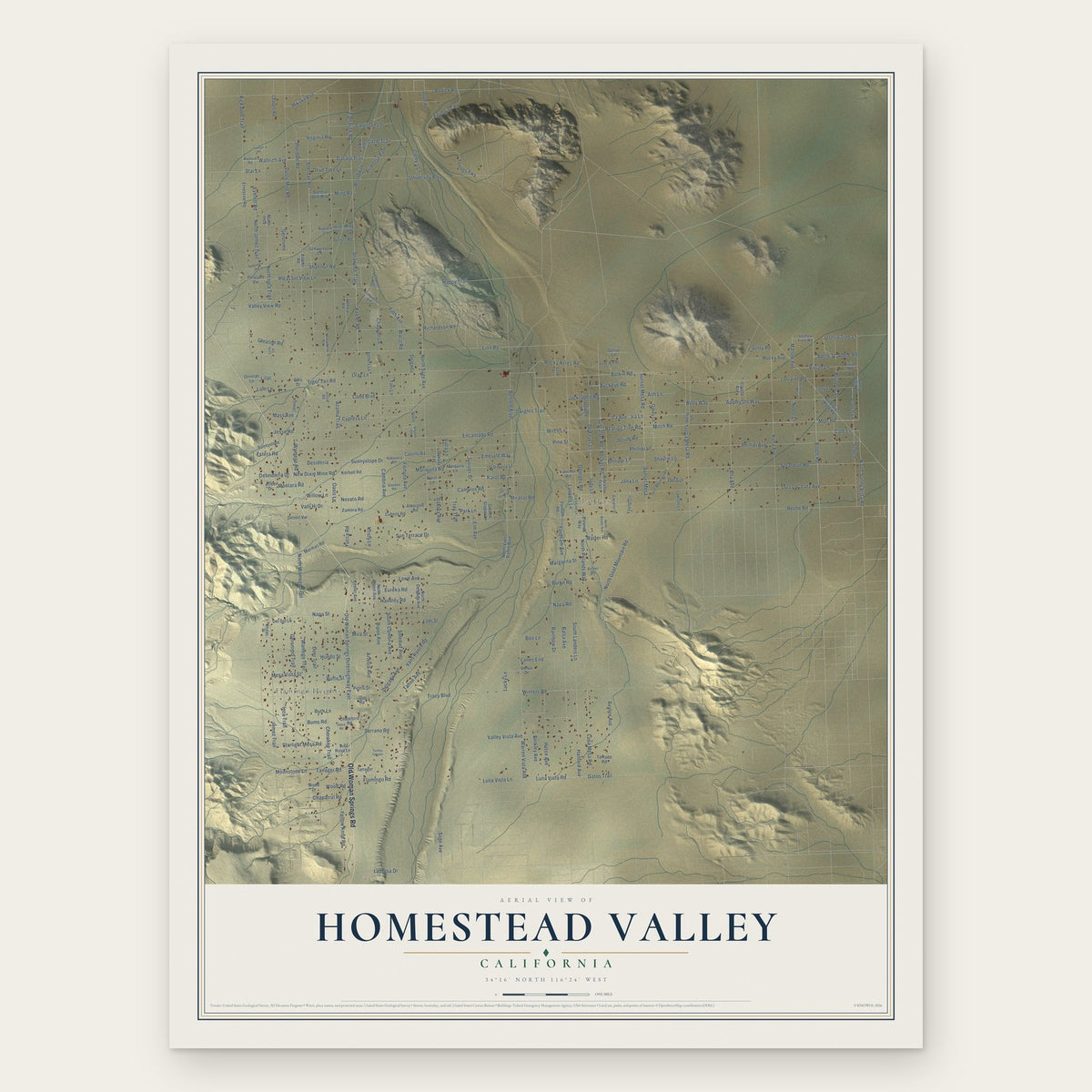
Homestead Valley, California Map Art
Building by building, with labeled streets and shaded relief.
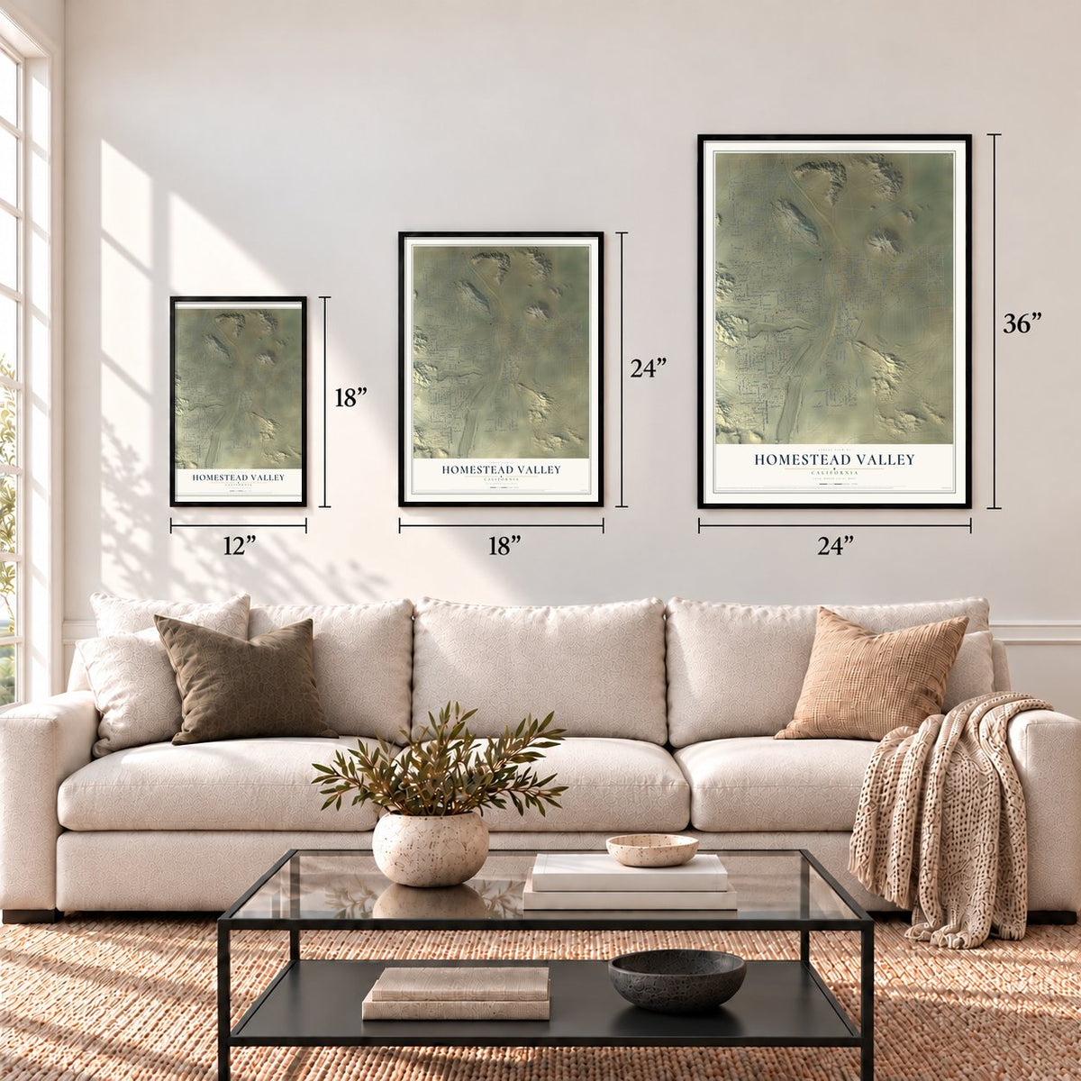
12" x 18" Archival Matte Print
A Map of Home. A Work of Art.
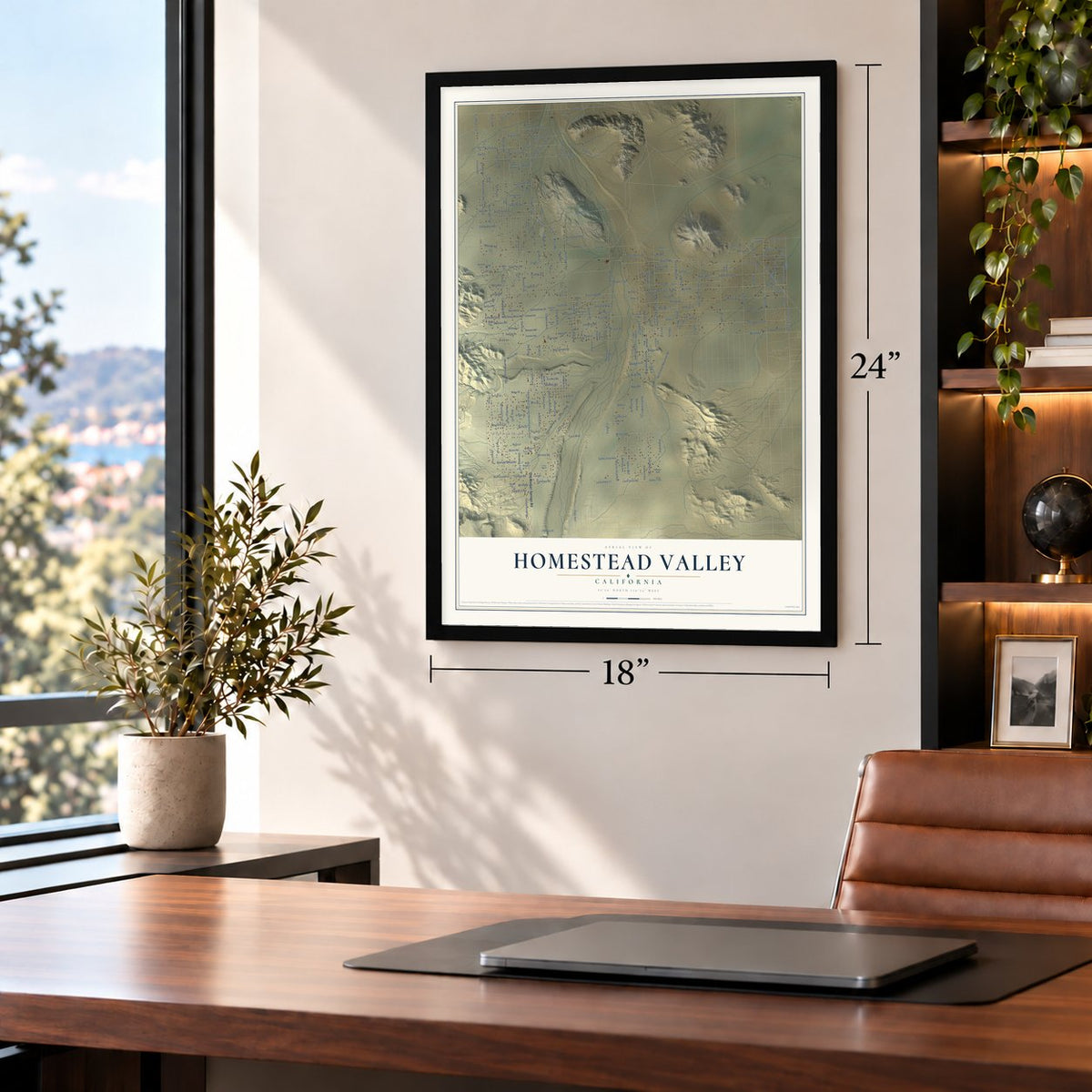
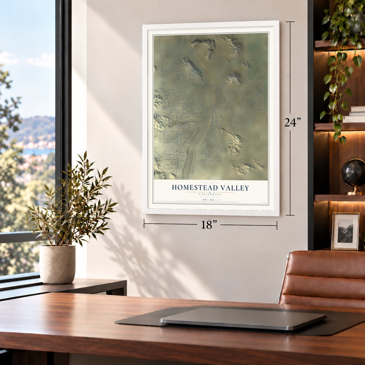
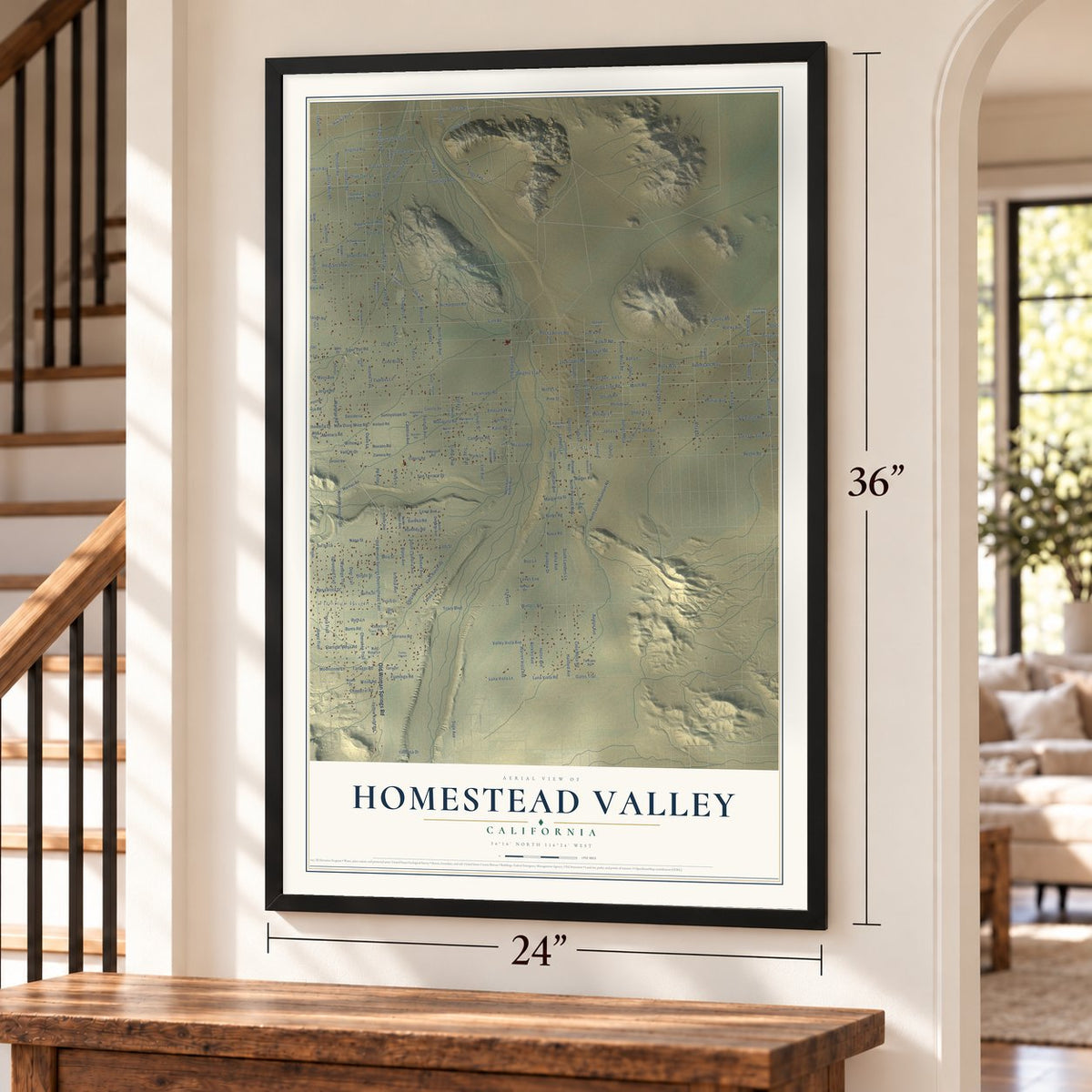
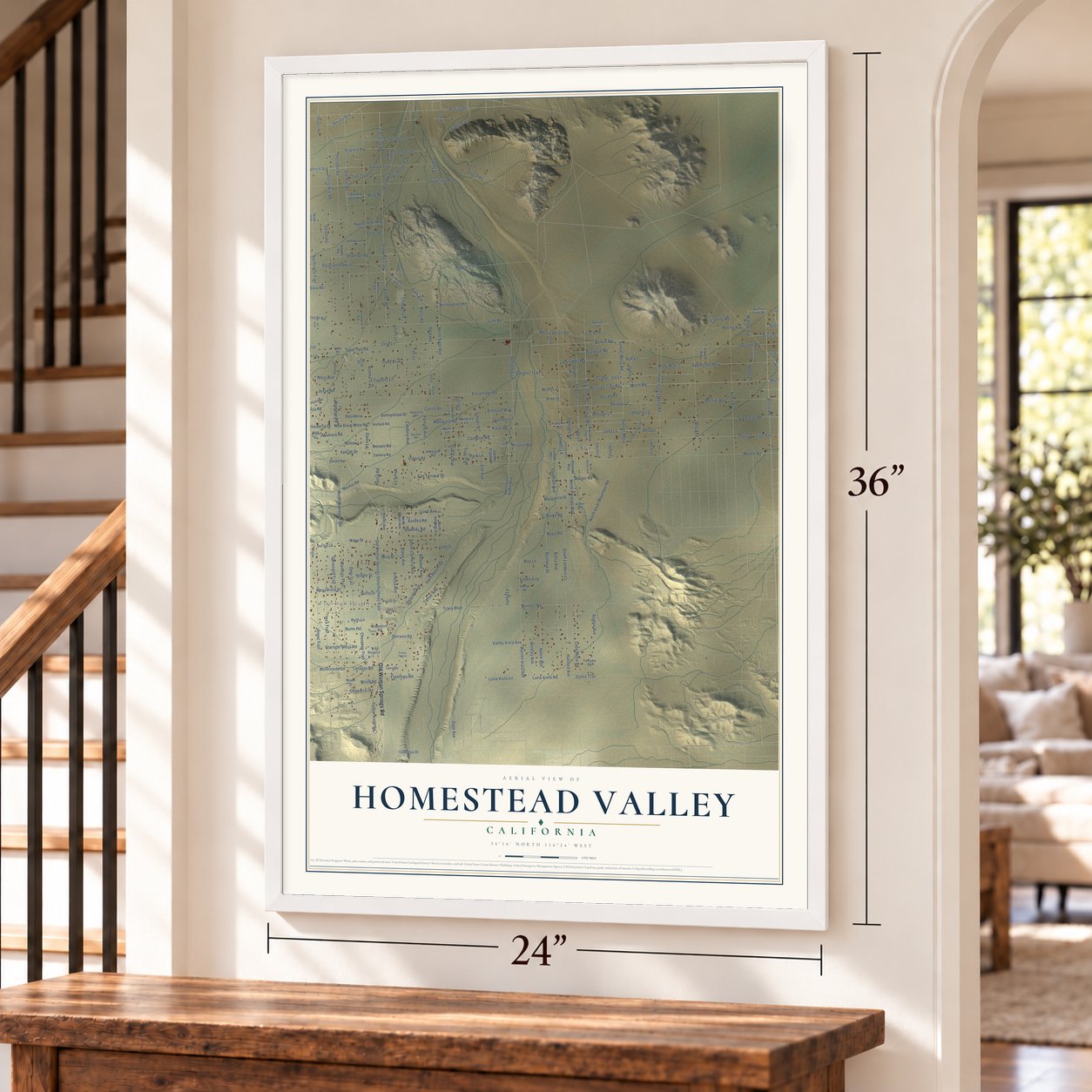
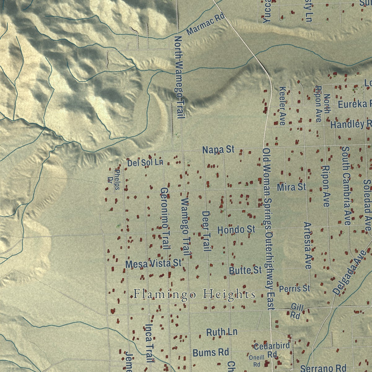
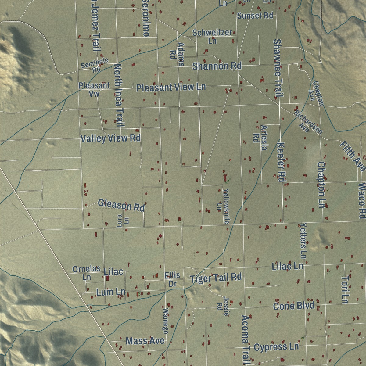
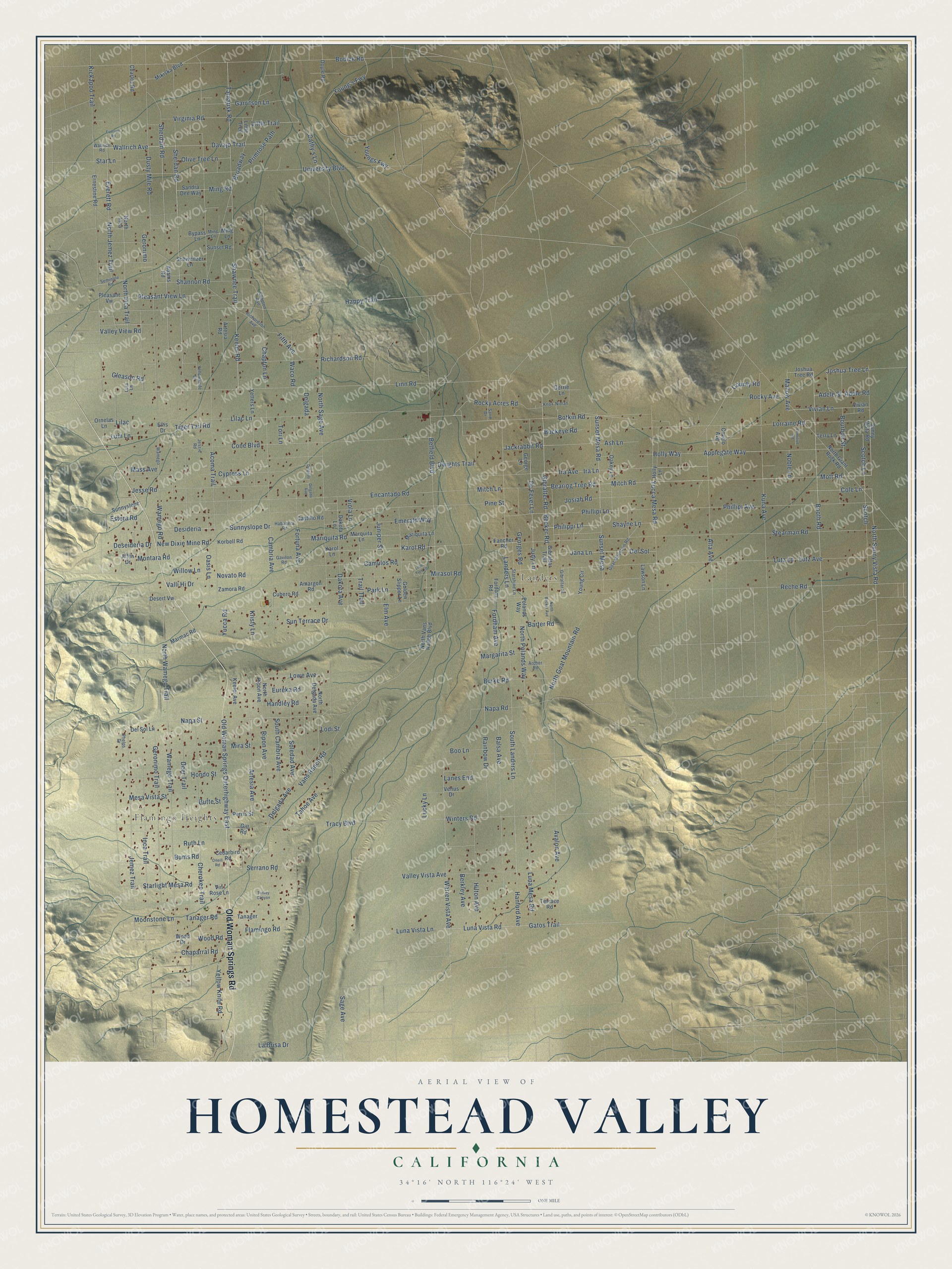
Explore Homestead Valley, California from a whole new perspective. Created using aerial imagery and detailed geographic data, this map captures Homestead Valley building by building, with labeled streets, familiar landmarks, and shaded topographical relief that highlights the natural contours of the landscape.
Combining modern data with the timeless character of a vintage atlas, this map is just as interesting up close as it is beautiful on the wall. Whether you grew up in Homestead Valley, spent memorable years there, or call it home today, this unique map is a great way to celebrate a place that means something to you. Zoom in on the preview to look for your street, and then order a print to put your memories on the wall.
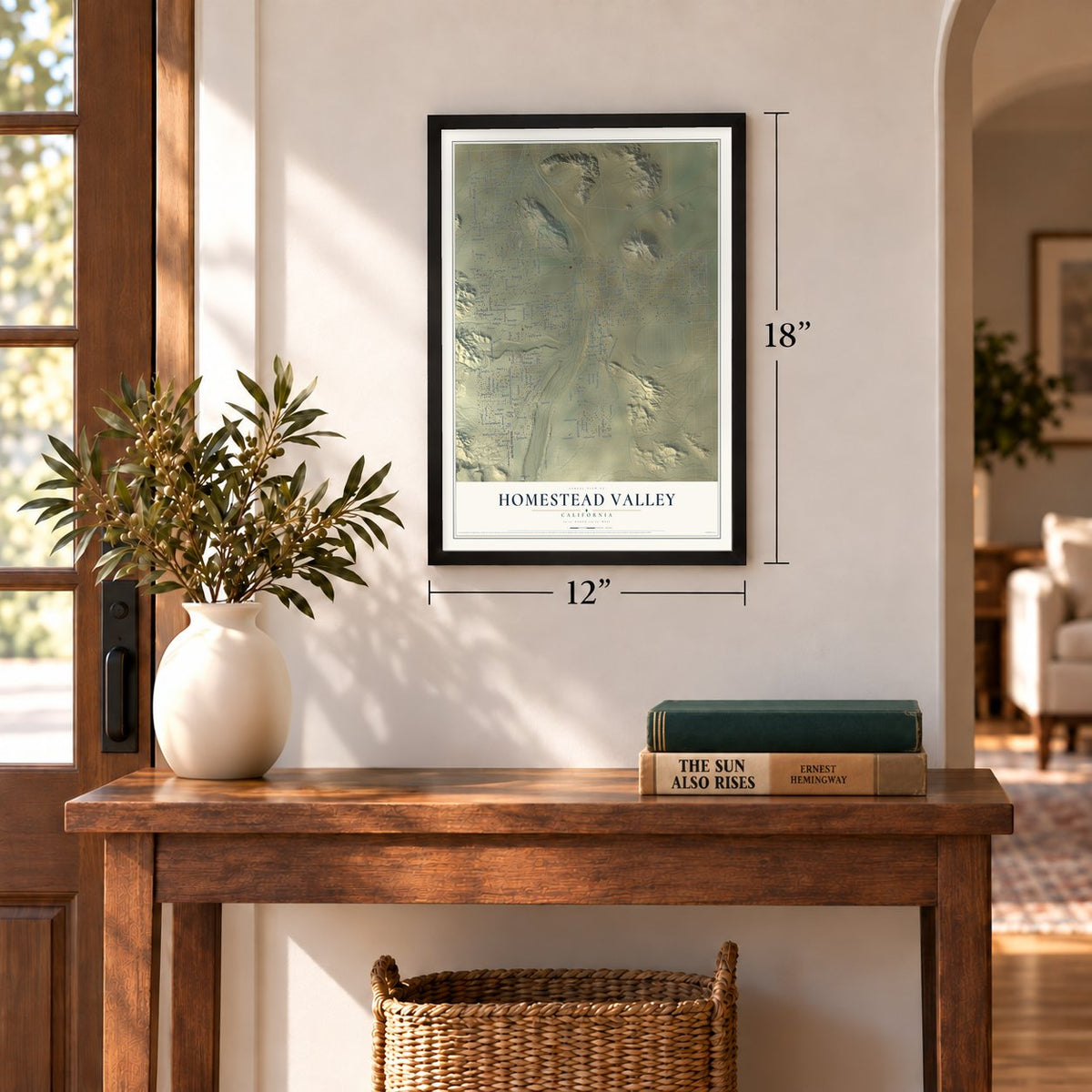
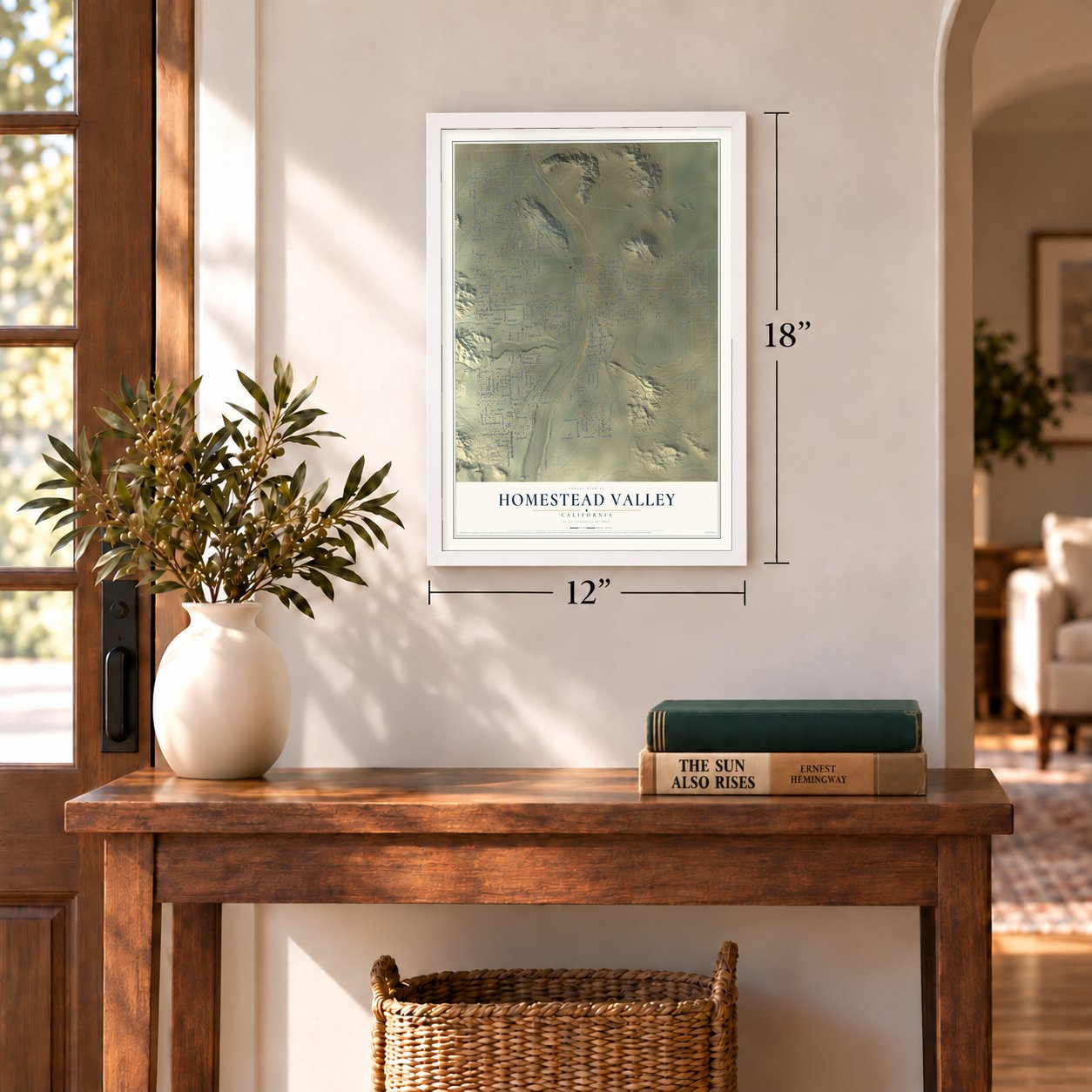
Three ways to hang it
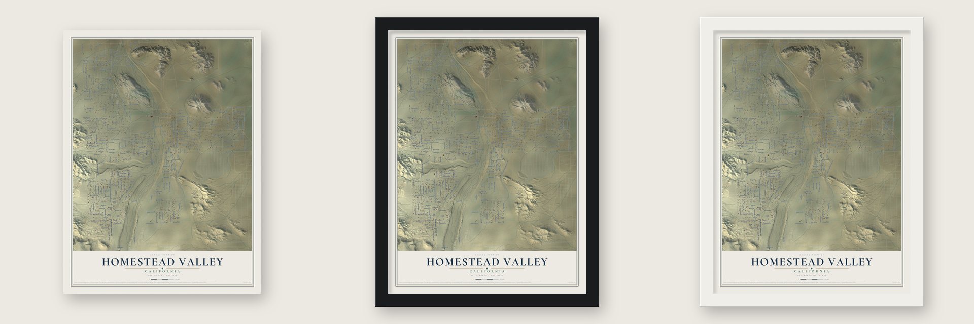
Unframed archival matte, a black wood frame or a white wood frame.
Up close
Geography Worth Displaying
This map was created using accurate cartographic data and authoritative geographic sources, including the U.S. Geological Survey and the Census Bureau. The map brings together terrain, waterways, roads, and building detail. The majority of the streets are labeled, houses are accurately depicted, and the topography is derived from government sources. Combining local data with carefully composed color and shading leads to this beautifully detailed Homestead Valley artwork for your wall.
Rather than simply showing street outlines, we’ve included as many of the street names as we could reasonably fit on the map while keeping their names legible. Zoom in on the high resolution preview to see exactly what’s on the map. We truly set out to create a statement piece for anyone who loves Homestead Valley. So whether it’s for you, or a gift for someone you love, we hope this map of Homestead Valley brings back fond memories.
Read the story behind this map of Homestead Valley, California from 2026.
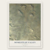
Find your street
Names on the Homestead Valley map
Every name below is printed on this map. Look for your street, your school, the park where you played, or the pond down the road.
Places and landmarks2
- Flamingo Heights
- Landers
Streets and roads277
- Old Woman Springs Road
- Booth Road
- Gibralter Road
- Judy Lane
- North Sunny Vista Road
- Sunset Mesa
- Bearing Tree Road
- Wallrich Avenue
- Philippi Lane
- Sunset Mesa Road
- Sherdan Road
- Cherokee Trail
- Vans Ranch Road
- Rocky Acres Road
- Tracy Boulevard
- Mitch Road
- Chaparral Road
- Mott Road
- Gleason Road
- De Fever Lane
- Mallow Avenue
- Wood Road
- Adele Street
- Wamego Trail
- Napa Road
- Vivian Lane
- Joshua Tree Lane
- Tanager Road
- Hilton Avenue
- Cole Lane
Show all 277 streets
- Inca Trail
- Botkin Road
- Napa Street
- Davajo Trail
- Ash Lane
- Delgada Avenue
- Shannon Road
- Keeler Road
- Shayne Lane
- Deer Trail
- Shawnee Trail
- Artesia Avenue
- Warren Vista Avenue
- Winters Road
- North Goat Mountain Road
- Scotch Lane
- Josiah Road
- Gatos Trail
- Luna Vista Road
- Karol Road
- Adele Road
- Youngs Fwy
- Lilac
- Cambria Avenue
- Landers Lane
- Lutz Lane
- Sunnyslope Drive
- Young's Fwy
- Tamarisk Road
- North Wamego Trail
- Jana Lane
- North Polands Way
- Reche Road
- Acoma Trail
- Kickapoo Trail
- Dusty Mile Road
- Linn Road
- Stearman Road
- Applegate Way
- North Sage Avenue
- Luna Vista Lane
- Encantado Road
- Becker Road
- Happy Trail
- Lorraine Road
- Broadway
- Starlight Mesa Road
- Mitch Lane
- Cone Boulevard
- Bodick Road
- Geronimo Trail
- Lilac Lane
- Phillipi Avenue
- University Boulevard
- New Dixie Mine Road
- Moonstone Lane
- Belfield Boulevard
- Kuna Avenue
- Balsa Avenue
- Ira Avenue
- Jemez Trail
- Fortuna Avenue
- Pine Street
- Hondo Street
- Yucca Mesa Road
- Flamingo Road
- Tahoe Avenue
- Fifth Avenue
- Sun Terrace Drive
- Yellow Knife Road
- South Landers Lane
- Valley Vista Avenue
- Alta Avenue
- North Jemez Trail
- Jesse Road
- Rainbow Drive
- Everett Road
- Ira Lane
- Montara Road
- Mira Street
- Camulos Road
- Bourbon Street
- Sage Avenue
- Barter Road
- Mirasol Road
- Cypress Lane
- Old Woman Springs Outerhighway East
- Avalon Avenue
- Luna Mesa Road
- Hanford Avenue
- Deseideria Drive
- Willow Lane
- Richardson Road
- Olive Tree Lane
- Virginia Road
- Park Lane
- Mariquita Road
- Handley Road
- Eureka Road
- North Inca Trail
- Soledad Avenue
- Lum Lane
- Georges Road
- Juniper Street
- Novato Road
- Margarita Street
- Ripon Avenue
- Pleasant View Lane
- Emerald Way
- Boo Lane
- Sherdam Road
- Dakota Avenue
- Ruth Lane
- Mesa Vista Street
- Garritson Lane
- Desideria
- Chapton Lane
- Lutz Avenue
- Phillipi Lane
- Burke Road
- La Brisa Drive
- Estera Road
- Holly Way
- Valli Hi Drive
- Oasis Lane
- Lowe Avenue
- Serrano Road
- Butte Street
- Rocky Avenue
- Fordham Avenue
- Ming Road
- Valley View Road
- Trail Trail
- Del Sol
- South Cambria Avenue
- Primrose Path
- Buckeye Road
- Jackrabbit Road
- Berkley Avenue
- Dwights Trail
- Little Trail
- Lucky Lane
- Viola Lane
- Waco Road
- Tiger Tail Road
- Mass Avenue
- Delgada
- County Road
- Star Lane
- Wamego Road
- Cathy's Lane
- Elm Avenue
- Geronimo
- Lodi Street
- Lanes End
- Noble Lane
- Bums Road
- Tori Lane
- Kristy Lane
- Yucca Road
- Scotch
- Sunny Vista Road
- Gibraltar Trail
- Joshua Tree Road
- Adams Road
- North Vans Ranch Boulevard
- Keeler Avenue
- Ellis Drive
- Gill Road
- North Giant Rock Road
- Oakey Lane
- Yetters Lane
- Golden Slipper Lane
- Vin Rose Lane
- Covelo Avenue
- Cedarbird Road
- Pleasant Vw
- Terry Lane
- Marquita Lane
- Sunnyslope
- Young Circle
- Perris Street
- Ernestine Road
- Sunset Road
- Mikiska Boulevard
- North Delgada Avenue
- Tanager
- North Ripon Avenue
- Ornelas Lane
- Polands Way
- Mariquita Lane
- Amargon Road
- Allen Drive
- Marmac Road
- George Lane
- Schweitzer Lane
- Fancher Road
- Charles Road
- Sandra Dee Way
- Holly Lane
- Terrace Road
- Korbell Road
- Zamora Road
- Cubero Road
- Lawson Lane
- Castillo Road
- Del Sol Lane
- Dakota Lane
- Desert Vw
- Artesia Road
- Doyle Road
- Bypass Lane
- Venus Drive
- Fordom Road
- Little Tree
- Vivian Road
- Gerrie Lane
- North Inca
- Wood Drive
- Karol Lane
- Ming Lane
- Wallrich Road
- Seminole Road
- Gibraltar Street
- Chapton Avenue
- Goat Mountain Road
- Starshine Lane
- Archer Road
- Sand Drive
- Jessie Road
- Yellowknife Lane
- Gavilon Road
- Habanera Road
- Lura Lane
- Richardson Avenue
- Knox-Niman
- Wamego
- Phelps Drive
- Mine Lane
- Lone Tree Lane
- Delgado Avenue
- North Becker Avenue
- Primitive Road
- Everrett Road
- Delgado
- Turkey Canyon
- Oneill Road
Names are listed as they appear on the printed map. Zoom into the product photos to find them.
About Homestead Valley, California
Landers grew in the 1950s as a place of weekend and part-time homes, spurred by the 1938 Five-Acre Homestead Act known as the Jackrabbit Homestead Act. In 1959 Vernette Landers took up the fight for a post office, and when it opened in an old desert cabin in 1962, she ran it for one dollar a year. It was the first post office granted in an area of government recreational tracts, and it soon became a center of community life.
In 2007 Vernette Landers, widow of Newlin Landers, who helped form the community of Landers in 1950, left their home to the Morongo Basin Historical Society. The society opened its Museum and Research Center there in 2008.
Keep exploring California
Homestead Valley is one of 1,990 California towns we've mapped. Every dot on the map is a print of its own.
The search covers every state, California first.
Near Homestead Valley
Order 2 or more town maps and save 10%. Shown in the size and finish you picked above, so they hang as a set.
- Yucca Valley 12" x 18" / Archival Matte Print $39.99
- Joshua Tree 12" x 18" / Archival Matte Print $39.99
- Morongo Valley 12" x 18" / Archival Matte Print $39.99
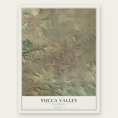

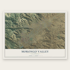
More maps nearby: Twentynine Palms, Big Bear City, Desert Hot Springs, Desert Edge and Garnet.
The art of mapping a place
How This Map Was Made
Real places. Remarkable detail. Discover the layers that turn geographic data into a map of home.

The view from above
Aerial imagery reveals the character of the land: woodland, open fields, and the patterns of a place.

The shape of the land
Elevation data brings hills, valleys, and subtle changes in the landscape into view.

The details of home
Roads, waterways, and building footprints come together to make the map feel unmistakably local.

Geography becomes art
Considered color, shading, and typography bring the layers together in a map made for your wall.


Process illustrated with Mendon, Massachusetts. Aerial imagery: USDA NAIP. Terrain: USGS 3D Elevation Program. Map details and finished artwork: KNOWOL.
The Details
About This Print
Choose an archival matte print, or a black or white Ayous wood frame. The archival matte print is unframed.
Select your size and finish above to see the matching product image and price.
Materials & Craftsmanship
A contemporary map with the character of a classic atlas, printed on archival matte paper. Optional frames are made from Ayous wood.
Your printed map does not include the watermark shown in the full-map preview.
Shipping & Delivery
Free shipping within the United States. Every print is made to order in the USA.
Buying a gift? Add a note in your cart and we'll include it. We never put prices in the package.
Prints ship within 2 to 3 business days. Allow 7 to 10 days total from ordering for delivery. Timing may vary during holidays or periods of high order volume.
Read our shipping policy.
Returns and damaged prints
Each print is made to order. Change-of-mind refunds are not available after production.
If your print arrives damaged, misprinted or incorrect, contact support@knowol.com within 30 days of receiving it. Include your order number, photos and a description of the issue.
Read our full refund and replacement policy. For questions about your order, email support@knowol.com.