
Search for another town

Free U.S. delivery 7 to 10 days after you order
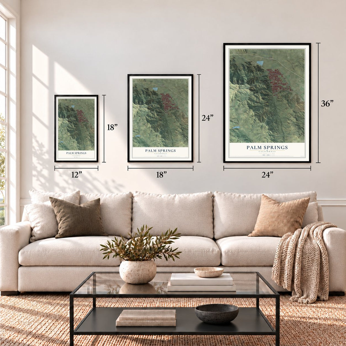
Palm Springs, California Map Art
Building by building, with labeled streets and shaded relief.
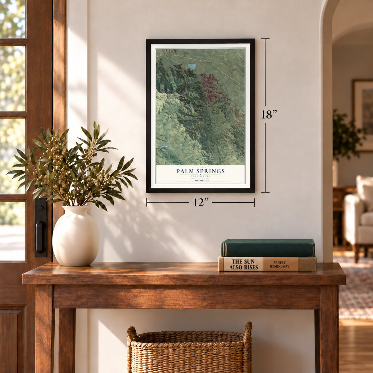
12" x 18" Archival Matte Print
A Map of Home. A Work of Art.
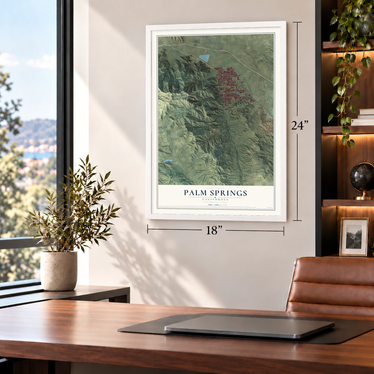
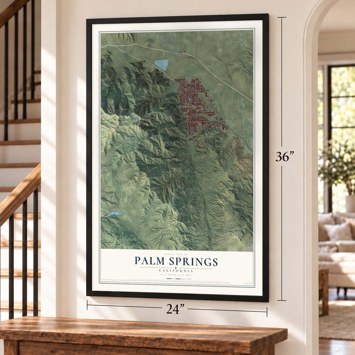
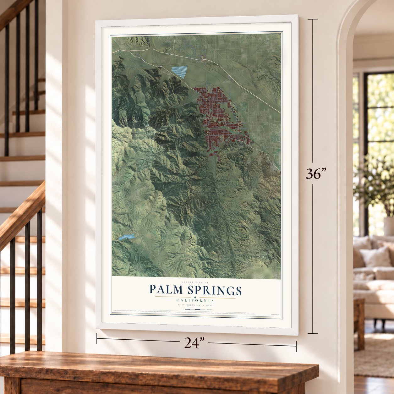
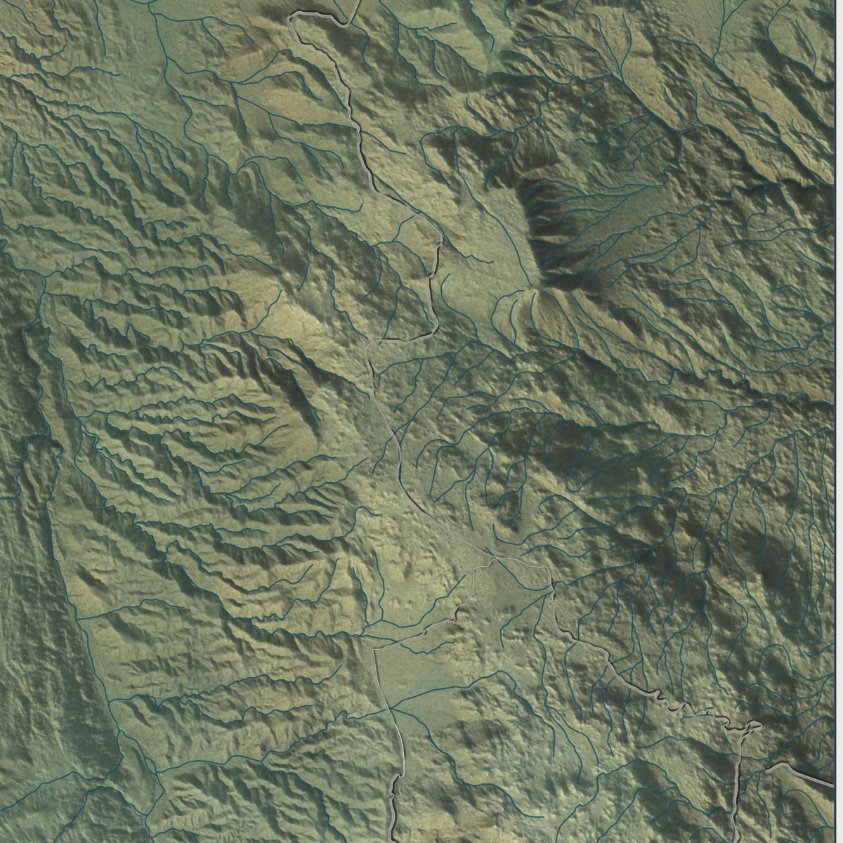
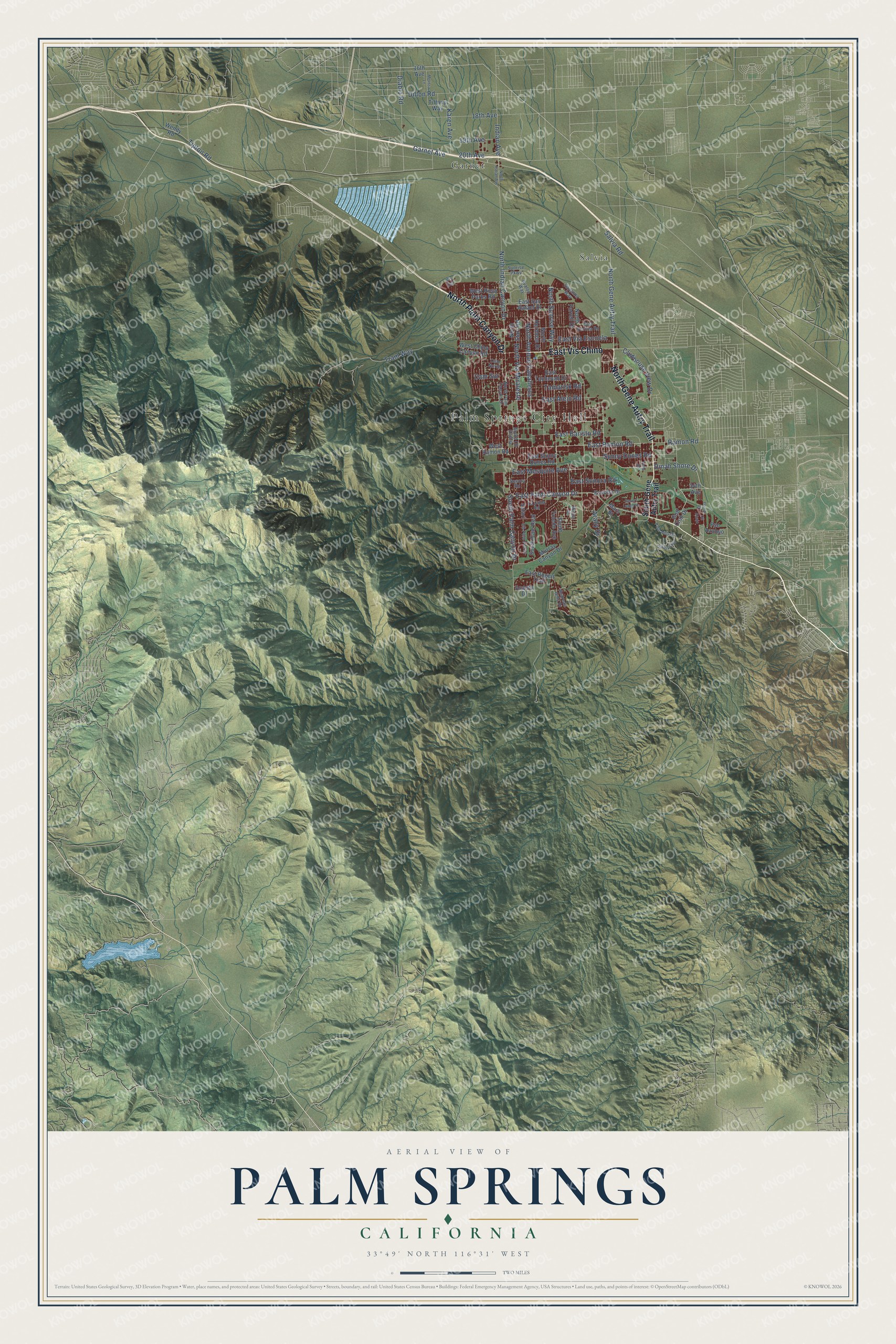
Explore Palm Springs, California from a whole new perspective. Created using aerial imagery and detailed geographic data, this map captures Palm Springs building by building, with labeled streets, familiar landmarks, and shaded topographical relief that highlights the natural contours of the landscape.
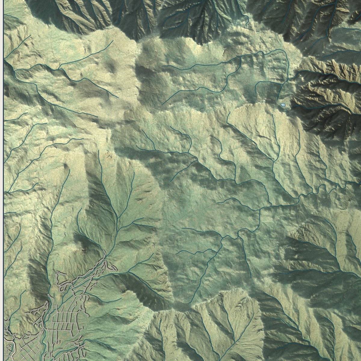
Combining modern data with the timeless character of a vintage atlas, this map is just as interesting up close as it is beautiful on the wall. Whether you grew up in Palm Springs, spent memorable years there, or call it home today, this unique map is a great way to celebrate a place that means something to you. Zoom in on the preview to look for your street, and then order a print to put your memories on the wall.
Three ways to hang it
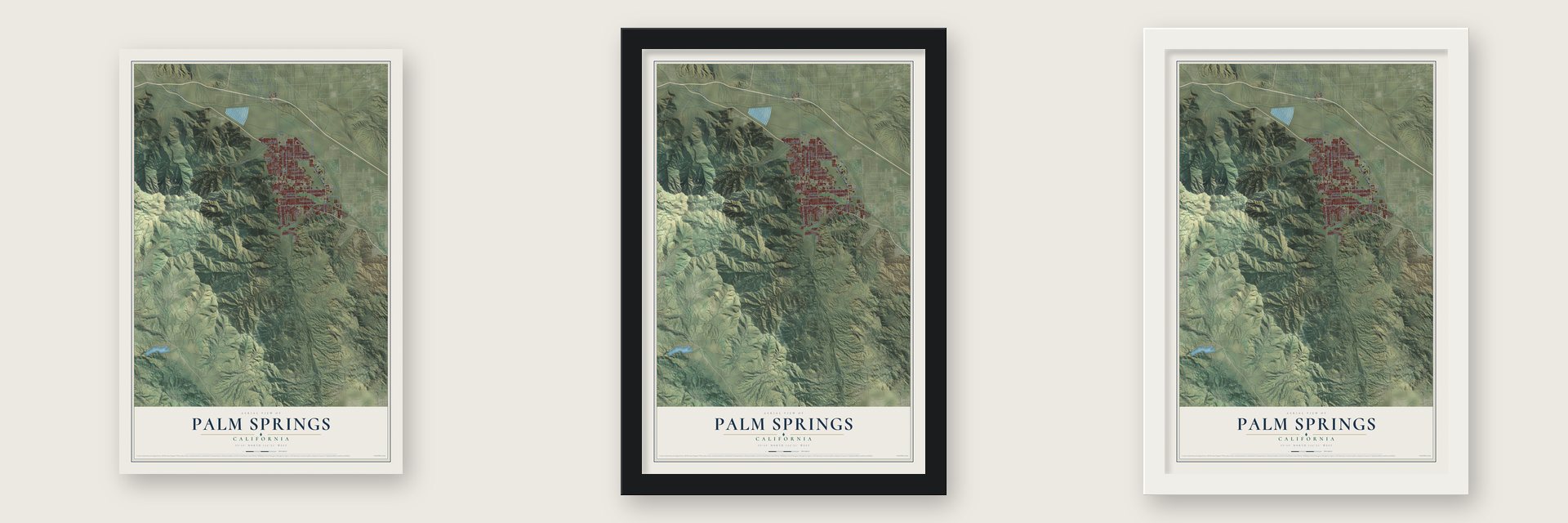
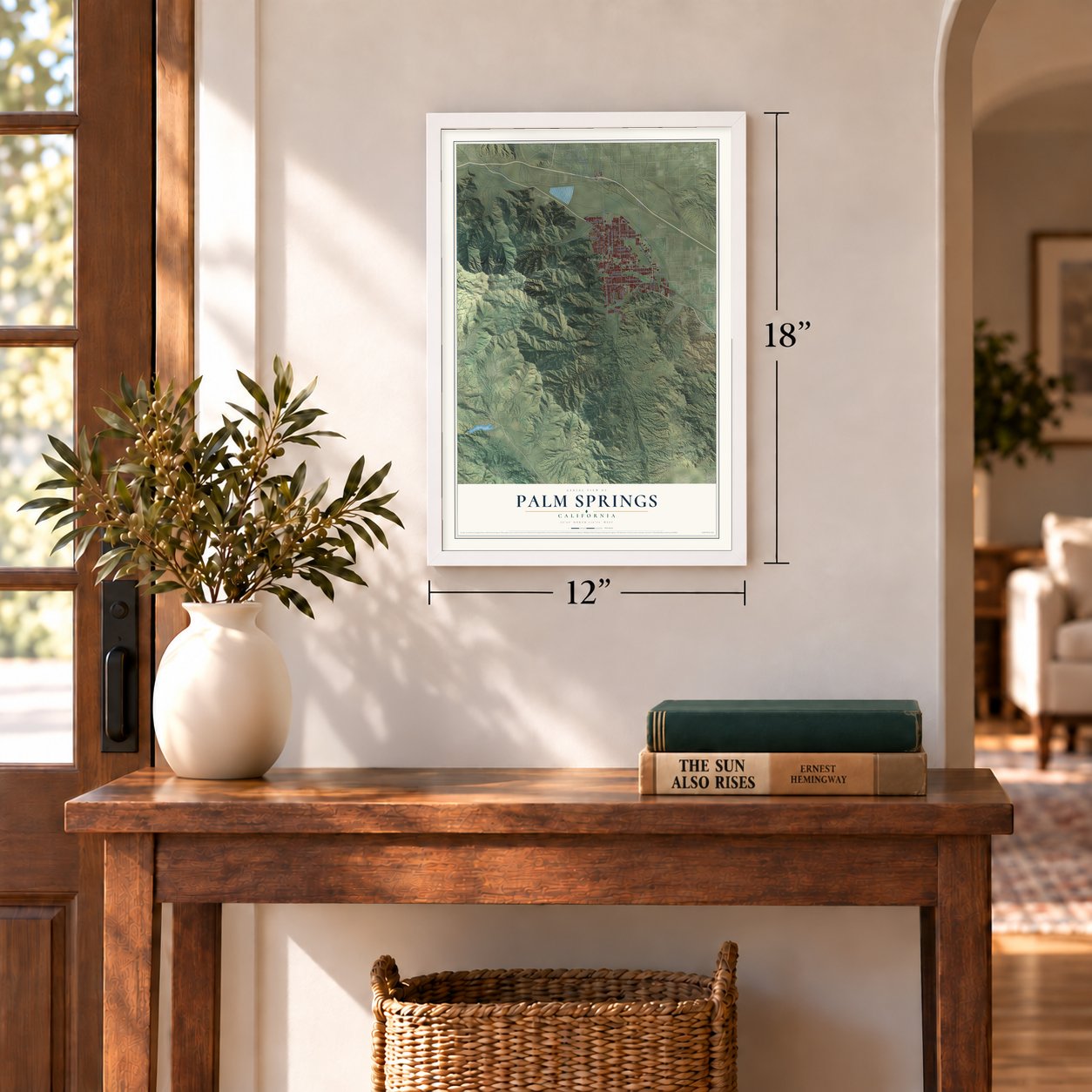
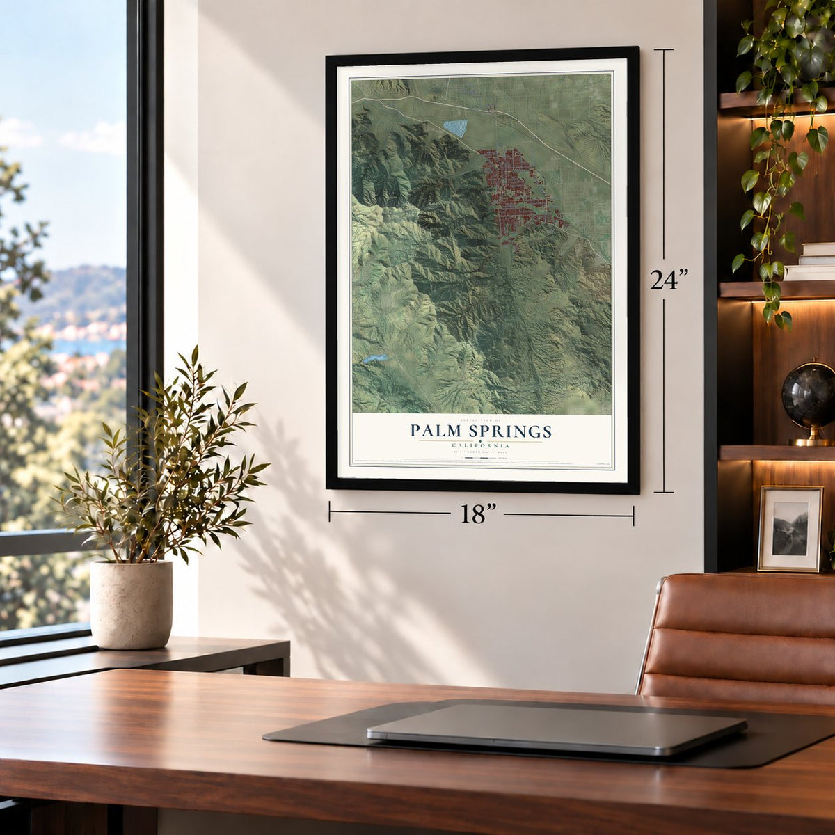
Unframed archival matte, a black wood frame or a white wood frame.
Up close
Geography Worth Displaying
This map was created using accurate cartographic data and authoritative geographic sources, including the U.S. Geological Survey and the Census Bureau. The map brings together terrain, waterways, roads, and building detail. The majority of the streets are labeled, houses are accurately depicted, and the topography is derived from government sources. Combining local data with carefully composed color and shading leads to this beautifully detailed Palm Springs artwork for your wall.
Rather than simply showing street outlines, we’ve included as many of the street names as we could reasonably fit on the map while keeping their names legible. Zoom in on the high resolution preview to see exactly what’s on the map. We truly set out to create a statement piece for anyone who loves Palm Springs. So whether it’s for you, or a gift for someone you love, we hope this map of Palm Springs brings back fond memories.
Read the story behind this map of Palm Springs, California from 2026.
Find your street
Names on the Palm Springs map
Every name below is printed on this map. Look for your street, your school, the park where you played, or the pond down the road.
Places and landmarks3
- Palm Springs City Hall
- Garnet
- Salvia
Streets and roads77
- East Vis Chino
- North Gene Autry Trail
- North Palm Canyon Drive
- East Palm Canyon Drive
- East Ramon Road
- East Mesquite Avenue
- Dinah Shore Drive
- Cam Sur
- Araby Drive
- North Indian Canyon Drive
- Tram Way
- South Palm Canyon Drive
- North Sunrise Way
- Sunny Dunes Road
- Garnet Avenue
- Tipton Road
- North Avenue Caballeros
- East Baristo Road
- East Via Escuela
- 20th Avenue
- 18th Avenue
- East Alejo Road
- North Via Miraleste
- Dillon Road
- Tamarisk Road
- Diablo Road
- East Sonora Road
- Clubhouse View Drive
- Karen Avenue
- Indian Avenue
Show all 77 streets
- Ramon Road
- 19th Avenue
- Salvia Road
- South Gene Autry Trail
- Golf Club Drive
- West Ramon Road
- 34th Avenue
- Safari
- East San Rafael Drive
- North Farrell Drive
- South Cam Real
- North Hermosa Drive
- East Bogert Trail
- East Tachevah Drive
- Murray Canyon Drive
- East Sunny Dunes Road
- South Toledo Avenue
- West Chino Canyon Road
- West Rosa Parks Road
- North Starr Road
- Wendy Road
- Escoba Drive
- 16th Avenue
- Pso Azulejo
- Acanto Drive
- Tiffany Way
- Mars Street
- Cll Palo Fierro
- Savanna Way
- South Cll Encilia
- Andreas Hills Drive
- Cam Norte
- Avalon Way
- Sunrise Parkway
- East Verona Road
- La Jolla Road
- Sonora Road
- Vis Sol
- Middle Road
- Desert Lakes Drive
- Desierto Vis
- Melissa Lane
- Palm Hills Drive
- Vella Road
- North Indian Avenue
- Cll Arriba
- Cll Abajo
Names are listed as they appear on the printed map. Zoom into the product photos to find them.
About Palm Springs, California
Palm Springs is a city of 44,575 people in Riverside County, in the Coachella Valley of the Colorado Desert. The Cahuilla people arrived about 2,000 years ago and named the place Se-Khi, for its boiling water. In December 1823 José María Estudillo, traveling with Brevet Captain José Romero in search of a route from Sonora to Alta California, became the first to record Agua Caliente here. In 1876 the United States created the Agua Caliente Reservation in alternating sections of 640 acres and gave the sections between them to the Southern Pacific Railroad.
Jack Summers, the first European resident, ran a stagecoach station on the Bradshaw Trail in 1862. In 1876 the railroad passed 6 miles to the north and left his station cut off. In 1885 San Francisco attorney John Guthrie McCallum, who had brought his sick son here for the dry air, began buying land. He dug a canal from the Whitewater River to his orchards, and Dr. Welwood Murray opened a hotel across from his house in 1886. Floods in 1893 and a drought from 1894 to 1905 hurt the farms, but health seekers kept coming for the dry heat, and Palm Springs grew into a resort in the 1900s.
“About 1893 the little oasis had, besides the homes of the ranchers, two stores, a postoffice, and a hotel, the Palm Springs Hotel, which had been owned and managed for several years prior to that date by Dr. Wellwood Murray.”
- The Desert Inn, 1909Murray's hotel closed in 1909, the same year Nellie N. Coffman and her husband Harry, a physician, opened The Desert Inn as both a hotel and a sanitarium. It became a modern hotel in 1927 and lasted until 1967. Coffman remained a "driving force" behind the town's tourist trade until she died in 1950.
- Towers, tennis and movie starsPearl, Judge McCallum's daughter, returned in 1924. Together with her husband, Austin G. McManus, she put up the Oasis Hotel, designed by Lloyd Wright with a 40-foot tower. The El Mirador followed in 1927 and drew the biggest film stars. Charles Farrell and Ralph Bellamy, both actors, started the Racquet Club in 1934, and Pearl McCallum added the Tennis Club in 1937.
- A resort turned Army hospitalDuring World War II the government bought the El Mirador from Warren Phinney for $750,000 and made it the Torney General Hospital. Its staff of 1,500 treated some 19,000 patients, and in 1944 and 1945 Italian prisoners of war worked there as orderlies and in the kitchen. Nearby, Palm Springs Army Airfield was finished in early 1942.
- A shopping first in 1936La Plaza, first called Palm Springs Plaza, opened in 1936 as Southern California's first self-contained shopping center, with a small Desmond's store as its anchor. Its three-level garage held 141 cars, the largest in Riverside County at the time.
Keep exploring California
Palm Springs is one of 1,990 California towns we've mapped. Every dot on the map is a print of its own.
The search covers every state, California first.
Near Palm Springs
Order 2 or more town maps and save 10%. Shown in the size and finish you picked above, so they hang as a set.
- Cathedral City 12" x 18" / Archival Matte Print $39.99
- Rancho Mirage 12" x 18" / Archival Matte Print $39.99
- Garnet 12" x 18" / Archival Matte Print $39.99
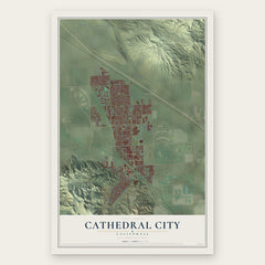
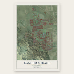
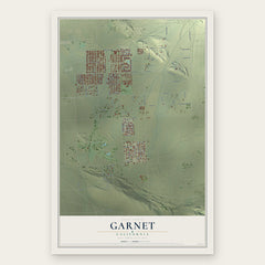
More maps nearby: Desert Edge, Thousand Palms, Desert Hot Springs, Palm Desert and Idyllwild-Pine Cove.
The art of mapping a place
How This Map Was Made
Real places. Remarkable detail. Discover the layers that turn geographic data into a map of home.

The view from above
Aerial imagery reveals the character of the land: woodland, open fields, and the patterns of a place.

The shape of the land
Elevation data brings hills, valleys, and subtle changes in the landscape into view.

The details of home
Roads, waterways, and building footprints come together to make the map feel unmistakably local.

Geography becomes art
Considered color, shading, and typography bring the layers together in a map made for your wall.


Process illustrated with Mendon, Massachusetts. Aerial imagery: USDA NAIP. Terrain: USGS 3D Elevation Program. Map details and finished artwork: KNOWOL.
The Details
About This Print
Choose an archival matte print, or a black or white Ayous wood frame. The archival matte print is unframed.
Select your size and finish above to see the matching product image and price.
Materials & Craftsmanship
A contemporary map with the character of a classic atlas, printed on archival matte paper. Optional frames are made from Ayous wood.
Your printed map does not include the watermark shown in the full-map preview.
Shipping & Delivery
Free shipping within the United States. Every print is made to order in the USA.
Buying a gift? Add a note in your cart and we'll include it. We never put prices in the package.
Prints ship within 2 to 3 business days. Allow 7 to 10 days total from ordering for delivery. Timing may vary during holidays or periods of high order volume.
Read our shipping policy.
Returns and damaged prints
Each print is made to order. Change-of-mind refunds are not available after production.
If your print arrives damaged, misprinted or incorrect, contact support@knowol.com within 30 days of receiving it. Include your order number, photos and a description of the issue.
Read our full refund and replacement policy. For questions about your order, email support@knowol.com.