
Search for another town
Free U.S. delivery 7 to 10 days after you order
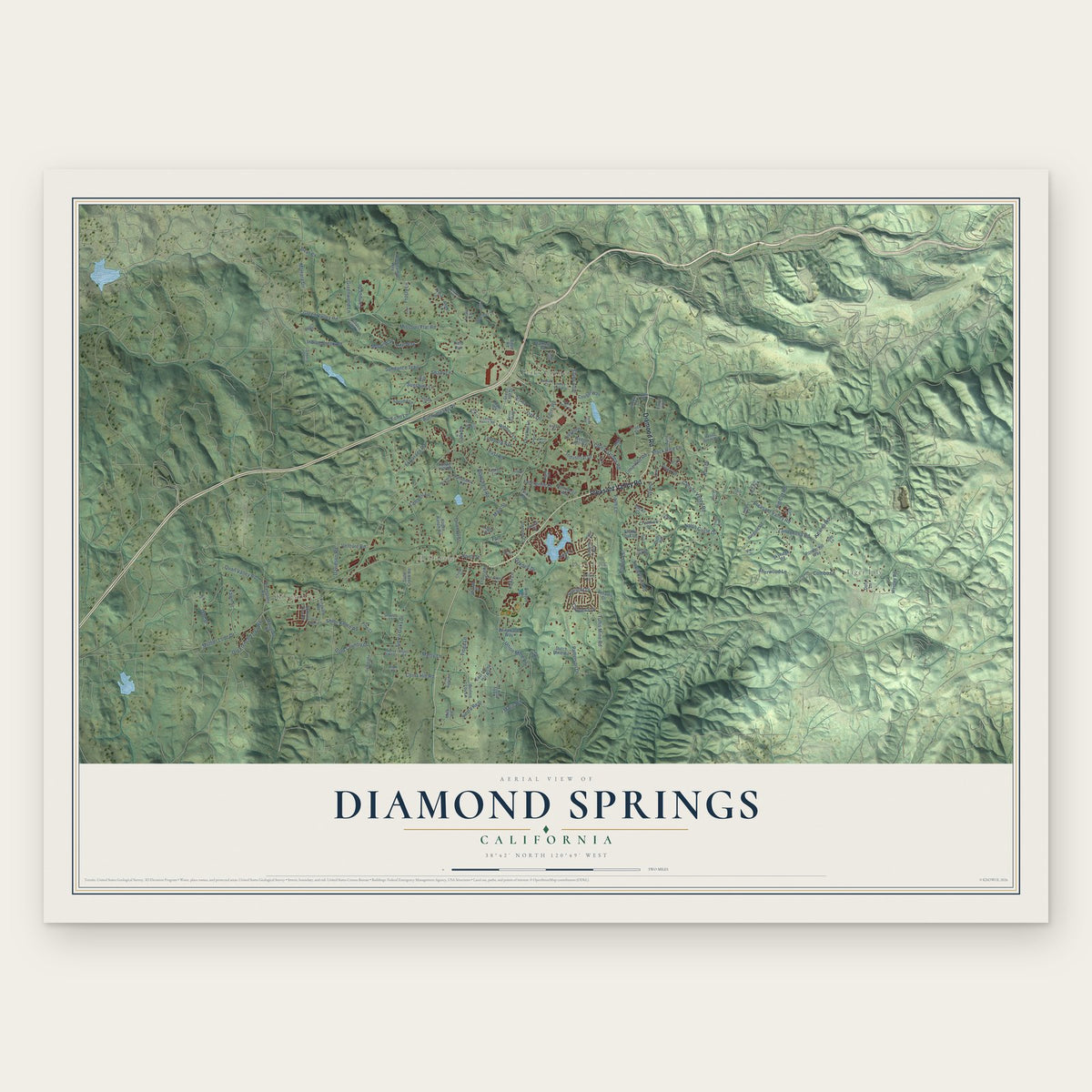
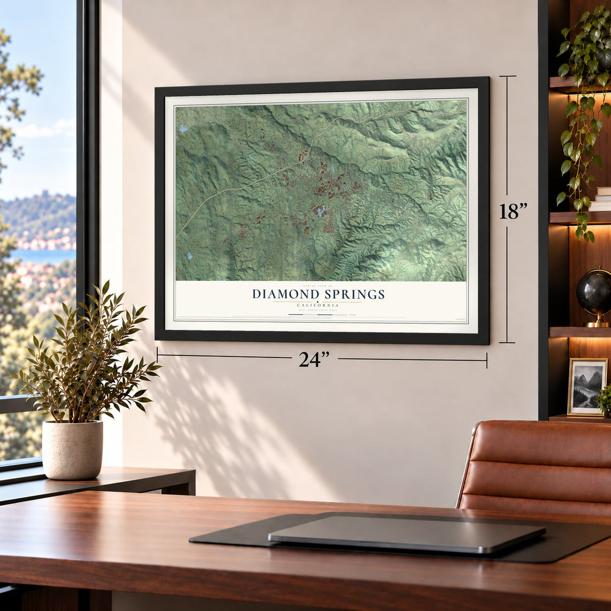
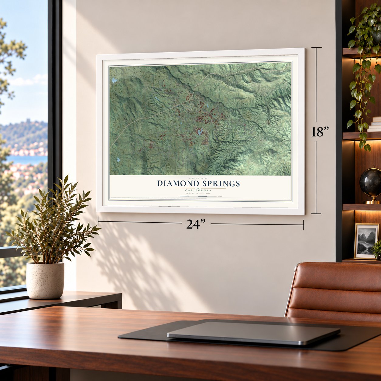
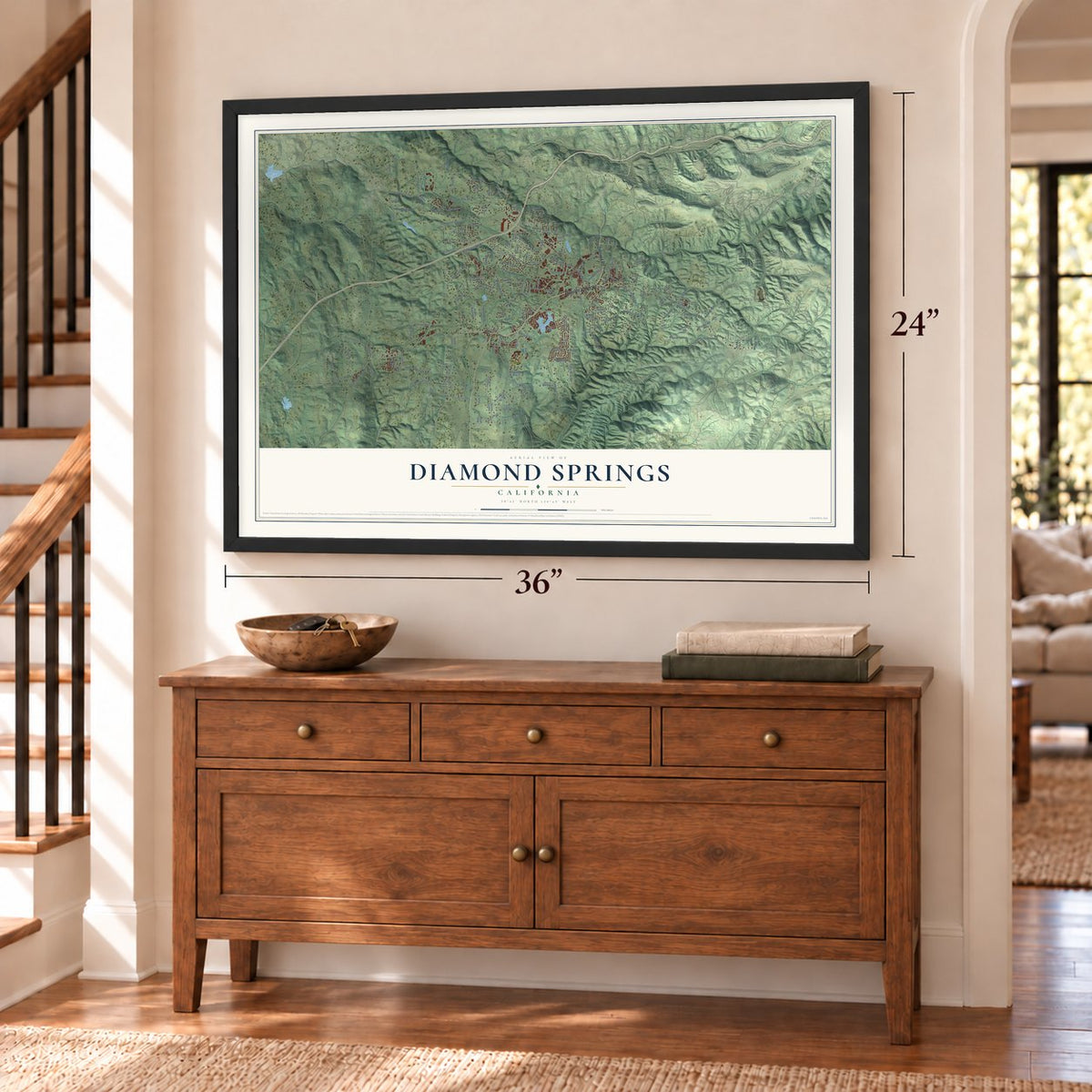
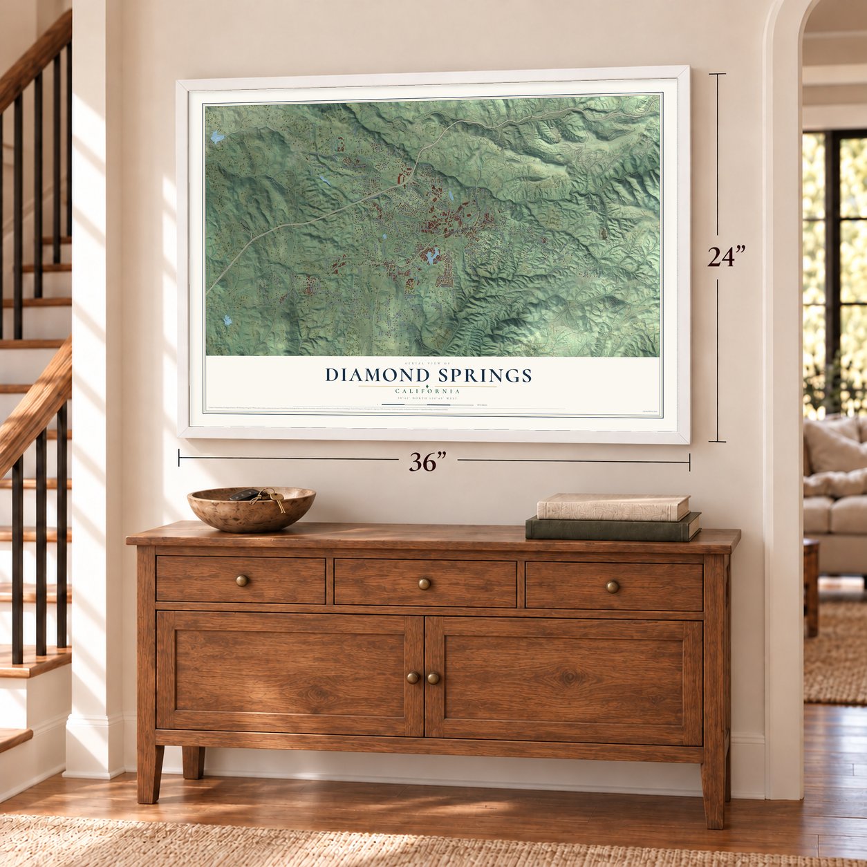
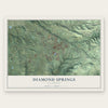
Diamond Springs, California Map Art
Building by building, with labeled streets and shaded relief.
12" x 18" Archival Matte Print
A Map of Home. A Work of Art.
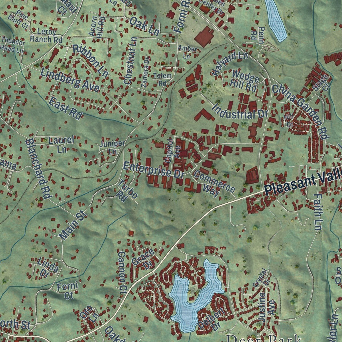
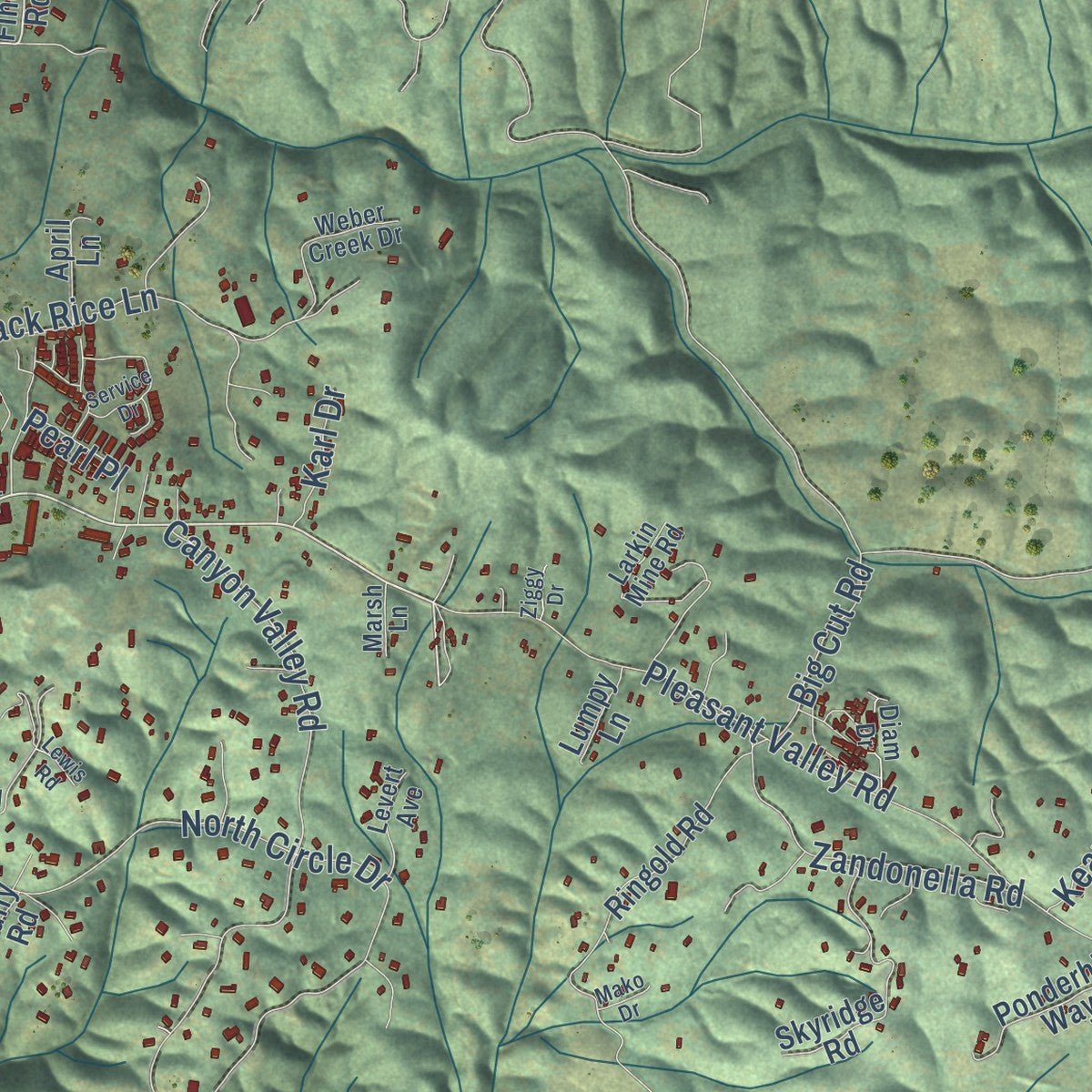
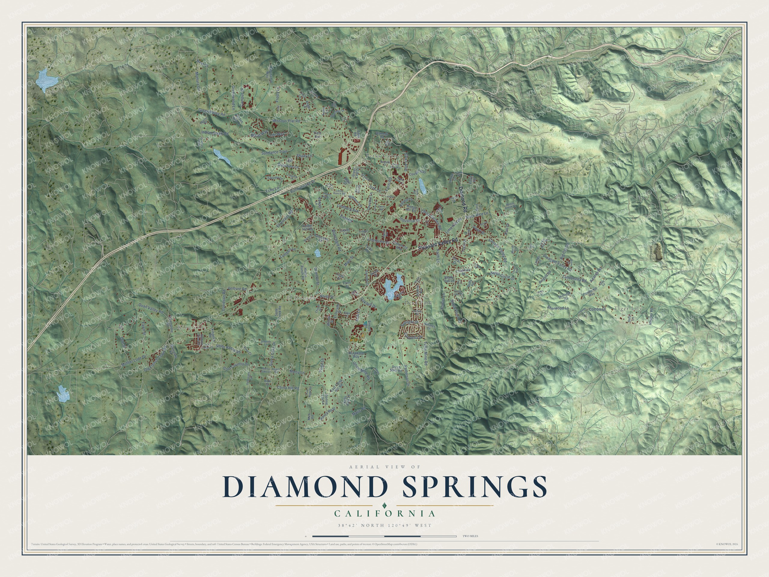
Explore Diamond Springs, California from a whole new perspective. Created using aerial imagery and detailed geographic data, this map captures Diamond Springs building by building, with labeled streets, familiar landmarks, and shaded topographical relief that highlights the natural contours of the landscape.
Combining modern data with the timeless character of a vintage atlas, this map is just as interesting up close as it is beautiful on the wall. Whether you grew up in Diamond Springs, spent memorable years there, or call it home today, this unique map is a great way to celebrate a place that means something to you. Zoom in on the preview to look for your street, and then order a print to put your memories on the wall.
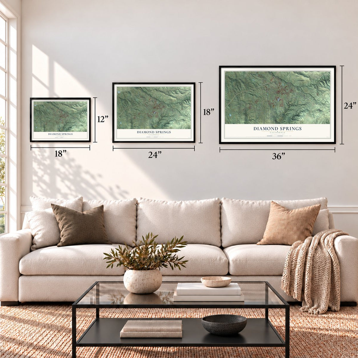
Three ways to hang it
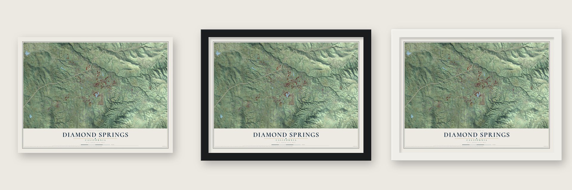
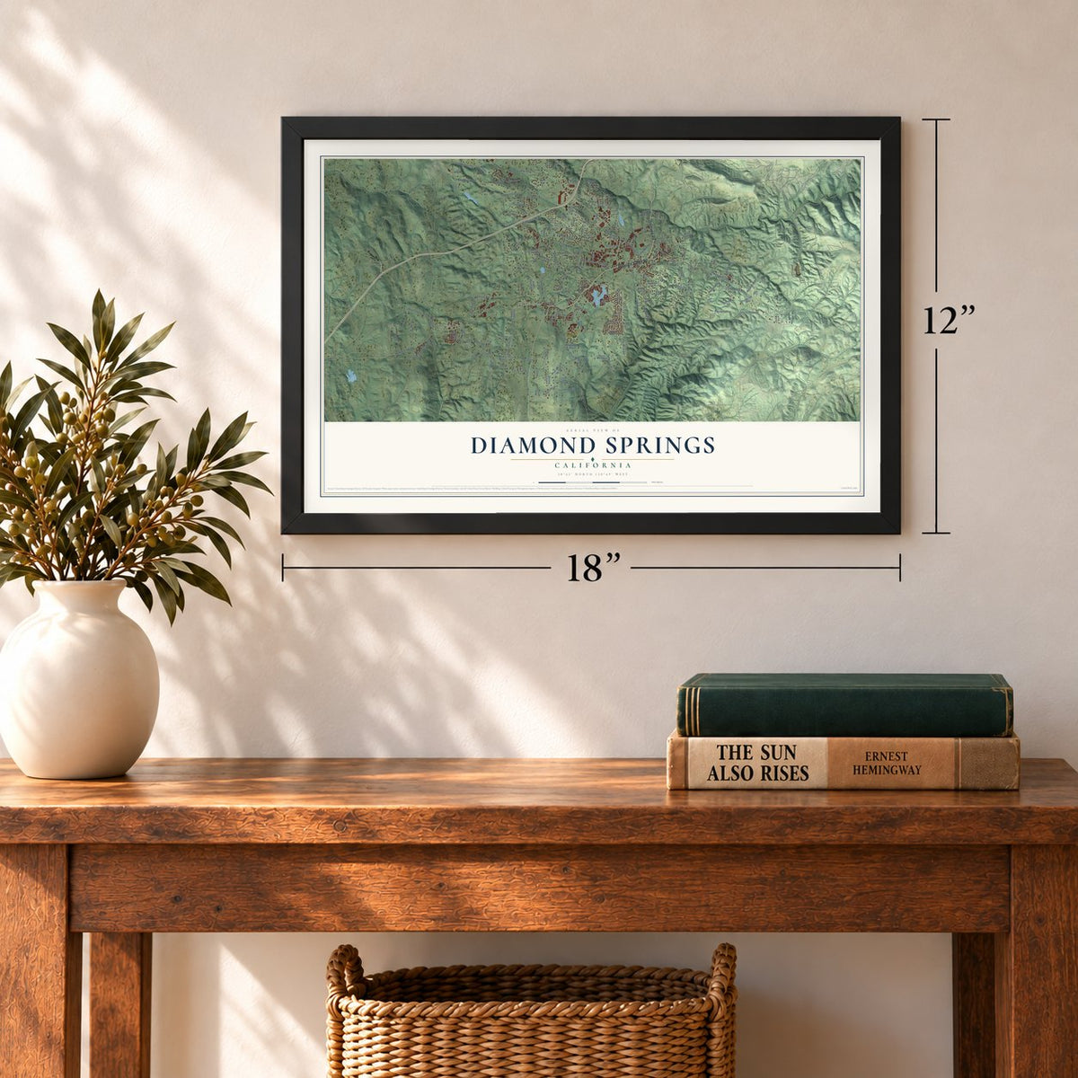
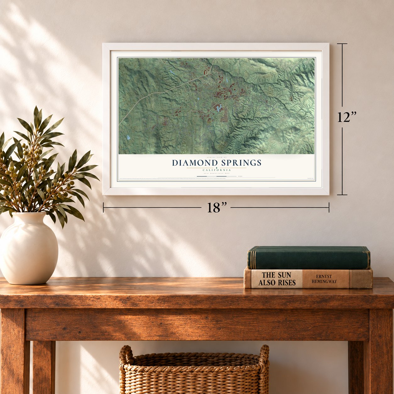
Unframed archival matte, a black wood frame or a white wood frame.
Up close
Geography Worth Displaying
This map was created using accurate cartographic data and authoritative geographic sources, including the U.S. Geological Survey and the Census Bureau. The map brings together terrain, waterways, roads, and building detail. The majority of the streets are labeled, houses are accurately depicted, and the topography is derived from government sources. Combining local data with carefully composed color and shading leads to this beautifully detailed Diamond Springs artwork for your wall.
Rather than simply showing street outlines, we’ve included as many of the street names as we could reasonably fit on the map while keeping their names legible. Zoom in on the high resolution preview to see exactly what’s on the map. We truly set out to create a statement piece for anyone who loves Diamond Springs. So whether it’s for you, or a gift for someone you love, we hope this map of Diamond Springs brings back fond memories.
Read the story behind this map of Diamond Springs, California from 2026.
Find your street
Names on the Diamond Springs map
Every name below is printed on this map. Look for your street, your school, the park where you played, or the pond down the road.
Places and landmarks5
- Kingsville
- Tiger Lily
- El Dorado
- Deer Park
- Perks Corner
Streets and roads182
- Pleasant Valley Road
- Diamond Road
- Mother Lode Drive
- Missouri Flat Road
- Fowler Lane
- El Dorado Road
- Main Street
- Patterson Drive
- Green Valley Road
- Union Mine Road
- Gold Country Drive
- Sundance Trail
- Canyon Valley Road
- Forni Road
- North Circle Drive
- Doe Street
- Fawn Street
- Quail Valley Road
- Sierra Real
- Sierra Oaks Drive
- Indian Creek Road
- Blanchard Road
- Life Way
- Enterprise Drive
- Runnymeade Drive
- Mortara Circle
- Sherwood Lane
- Black Rice Lane
- Cappella Drive
- Lindberg Avenue
Show all 182 streets
- Koki Lane
- Tullis Mine Road
- China Garden Road
- Zandonella Road
- Oak Lane
- Old French Town Road
- Greenwood Lane
- Oriental Street
- Sunshine Lane
- Kearns Road
- Shinn Ranch Road
- South Point Road
- North Street
- Davidson Road
- China Hill Road
- Lime Kiln Road
- Sunlight Drive
- Echo Lane
- Shady Lane
- Industrial Drive
- Lambert Lane
- Campus Drive
- Venture Road
- Tioga Lane
- Big Cut Road
- Ellies Allie
- East Road
- Frosty Lane
- Maric Road
- Bear Court
- Ribbon Lane
- Oakdell Drive
- Faith Lane
- Pearl Place
- Morel Way
- Combo Court
- Karl Drive
- Maisy Lane
- Finch Road
- East China Hill Road
- Kingvale Road
- Suncrest Drive
- Panorama Road
- Hagen Ranch Road
- Ringold Road
- Slate Creek Road
- Hidden Hills Lane
- Skyridge Road
- Crestview Drive
- Dunroamin Way
- Chestnut Lane
- El Dorado Street
- Westley Road
- Greenstone Road
- Kelly Park Lane
- Sayoma Lane
- Snoopy Road
- Wamego Road
- Yonder Hill Road
- Ponderhill Way
- Justine Avenue
- Commerce Way
- Marcelais Road
- Toyan Drive
- Dutch Mine Road
- Badger Lane
- Oro Lane
- Cougar Way
- Delbert Drive
- Cannon Court
- Green Leaf Drive
- Windward Way
- Truck Street
- Halyard Lane
- Angel Lane
- Antares Drive
- Wedge Hill Road
- Laurel Lane
- Grace Drive
- Maui Court
- April Lane
- Summit View Drive
- Lumpy Lane
- Koala Lane
- Fine Court
- Willow Street
- Decair Court
- Mira Vis
- Bonnie Lou Lane
- Linda Drive
- Bells Road
- Shady Oak Lane
- Turbo Road
- Lydia Lane
- Field Run
- Forni Court
- Doty Lane
- Lockie Court
- Bow Court
- Duffy Road
- Goldorado Trail
- Larkin Mine Road
- Weber Creek Drive
- Acorn Hill Road
- Stage Court
- Indian Creek Court
- Griffith Road
- Old Timer Lane
- Skyward Lane
- Church Street
- Sequoia Lane
- Lode Road
- Capitol Avenue
- Juniper Lane
- Levert Avenue
- Page Lane
- Bestafa Court
- Leroy Ranch Road
- Aguilar Road
- Diam Drive
- First Right Road
- Glee Lane
- Sierra Oaks Court
- Jericho Lane
- Reject Road
- Skis Road
- Marsh Lane
- Penn Road
- Arroyo Vista Way
- Golden Center Drive
- Thunder Head Lane
- Forest Lake Road
- Treeko Trail
- Crystal Drive
- Kieber Way
- Zamora Drive
- Service Drive
- Birdsong Lane
- Lisanne Lane
- Longview Drive
- Lockie Road
- Hill Drive
- Pine Bluff Court
- Martrix Court
- Amber Lane
- Totem Road
- Mako Drive
- Ziggy Drive
- Lewis Road
- Vista Lane
- Ming Lane
- Doe Court
Names are listed as they appear on the printed map. Zoom into the product photos to find them.
About Diamond Springs, California
Diamond Springs is a community of 11,345 people in El Dorado County, at an elevation of 1,791 feet in the gold country east of Sacramento. Settlers arrived in 1848 and named the place for the clear springs they found there. The gold rush made it one of the richest spots in the region, and the town had its busiest years in 1851. When the mining faded, Diamond Springs held on to part of its early standing through lumber, lime and farming.
- A 25-pound gold nuggetThe diggings around Diamond Springs ranked among the most gold-rich in the region. They gave up a single nugget that weighed 25 pounds, one of the biggest ever found in El Dorado County.
- Diamond Spring until 1950The town has also gone by Diamond and by Diamond Spring, without the final s. Its post office opened in 1853 under the name Diamond Spring and kept that name for nearly a century, until it became Diamond Springs in 1950.
- Historical Landmark No. 487The State of California registered the town as California Historical Landmark number 487 for its place in the story of the gold rush.
Keep exploring California
Diamond Springs is one of 1,990 California towns we've mapped. Every dot on the map is a print of its own.
The search covers every state, California first.
Near Diamond Springs
Order 2 or more town maps and save 10%. Shown in the size and finish you picked above, so they hang as a set.
- Placerville 12" x 18" / Archival Matte Print $39.99
- Cold Springs 12" x 18" / Archival Matte Print $39.99
- Shingle Springs 12" x 18" / Archival Matte Print $39.99
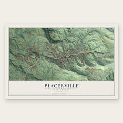
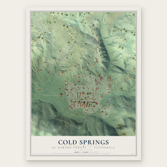
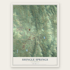
More maps nearby: Pleasant Valley, Cameron Park, Coloma, Rescue and Camino.
The art of mapping a place
How This Map Was Made
Real places. Remarkable detail. Discover the layers that turn geographic data into a map of home.

The view from above
Aerial imagery reveals the character of the land: woodland, open fields, and the patterns of a place.

The shape of the land
Elevation data brings hills, valleys, and subtle changes in the landscape into view.

The details of home
Roads, waterways, and building footprints come together to make the map feel unmistakably local.

Geography becomes art
Considered color, shading, and typography bring the layers together in a map made for your wall.


Process illustrated with Mendon, Massachusetts. Aerial imagery: USDA NAIP. Terrain: USGS 3D Elevation Program. Map details and finished artwork: KNOWOL.
The Details
About This Print
Choose an archival matte print, or a black or white Ayous wood frame. The archival matte print is unframed.
Select your size and finish above to see the matching product image and price.
Materials & Craftsmanship
A contemporary map with the character of a classic atlas, printed on archival matte paper. Optional frames are made from Ayous wood.
Your printed map does not include the watermark shown in the full-map preview.
Shipping & Delivery
Free shipping within the United States. Every print is made to order in the USA.
Buying a gift? Add a note in your cart and we'll include it. We never put prices in the package.
Prints ship within 2 to 3 business days. Allow 7 to 10 days total from ordering for delivery. Timing may vary during holidays or periods of high order volume.
Read our shipping policy.
Returns and damaged prints
Each print is made to order. Change-of-mind refunds are not available after production.
If your print arrives damaged, misprinted or incorrect, contact support@knowol.com within 30 days of receiving it. Include your order number, photos and a description of the issue.
Read our full refund and replacement policy. For questions about your order, email support@knowol.com.