
Search for another town





Free U.S. delivery 7 to 10 days after you order
Pleasant Valley, California Map Art
A new map of Pleasant Valley, California, made in 2026 and printed to order on thick archival matte paper.
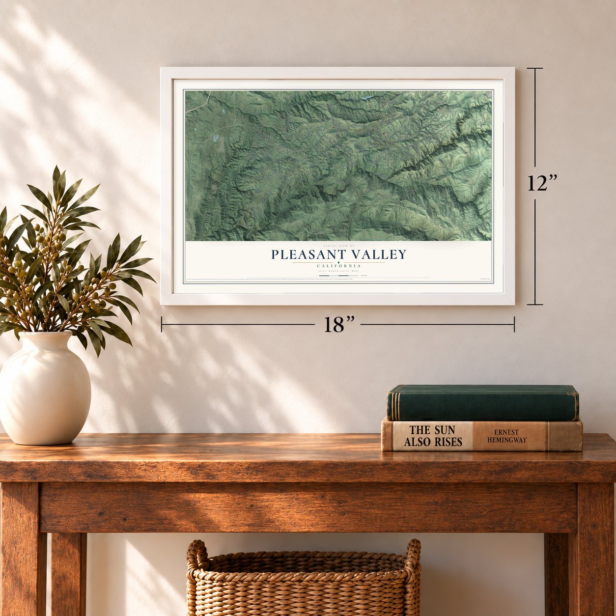
12" x 18" Archival Matte Print
A Map of Home. A Work of Art.
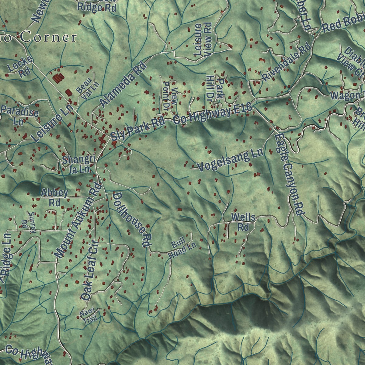
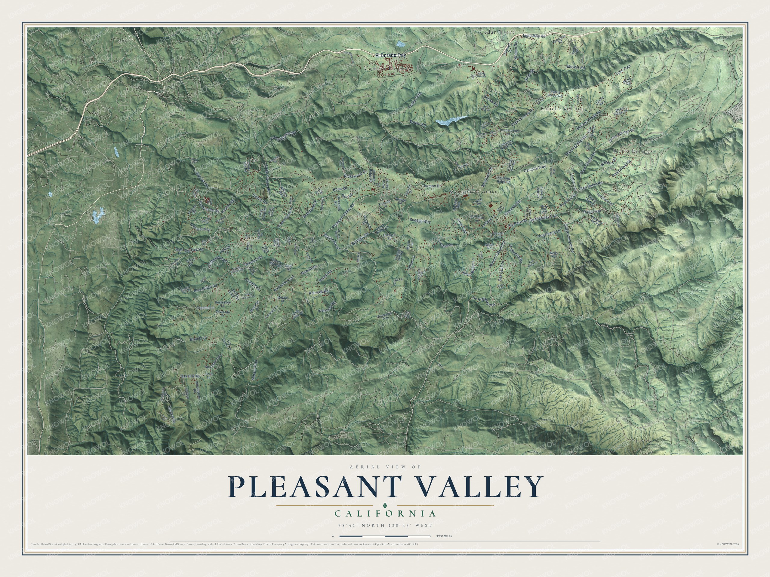
Explore Pleasant Valley, California from a whole new perspective. Created using aerial imagery and detailed geographic data, this map captures Pleasant Valley building by building, with labeled streets, familiar landmarks, and shaded topographical relief that highlights the natural contours of the landscape.
Combining modern data with the timeless character of a vintage atlas, this map is just as interesting up close as it is beautiful on the wall. Whether you grew up in Pleasant Valley, spent memorable years there, or call it home today, this unique map is a great way to celebrate a place that means something to you. Zoom in on the preview to look for your street, and then order a print to put your memories on the wall.
Three ways to hang it
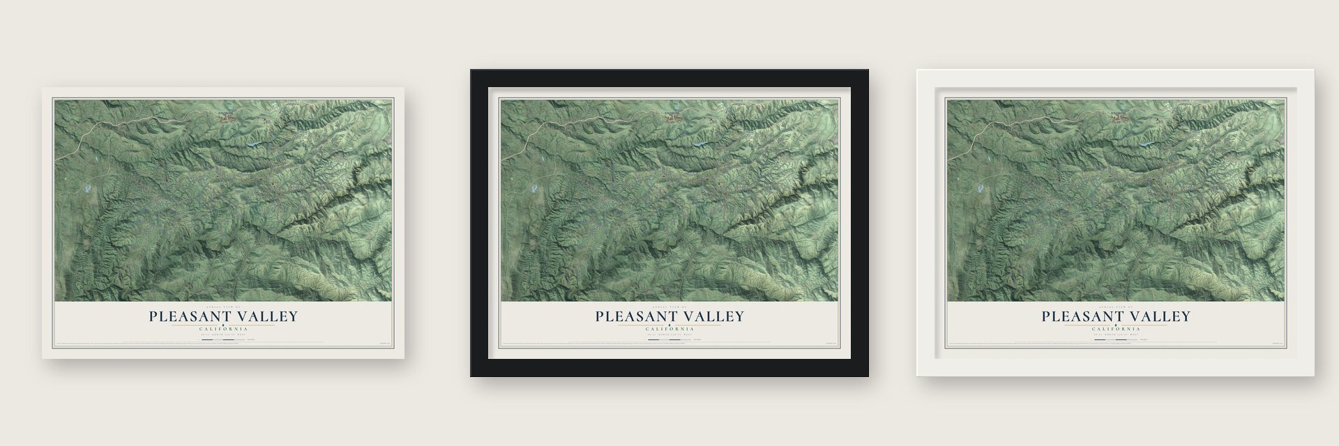
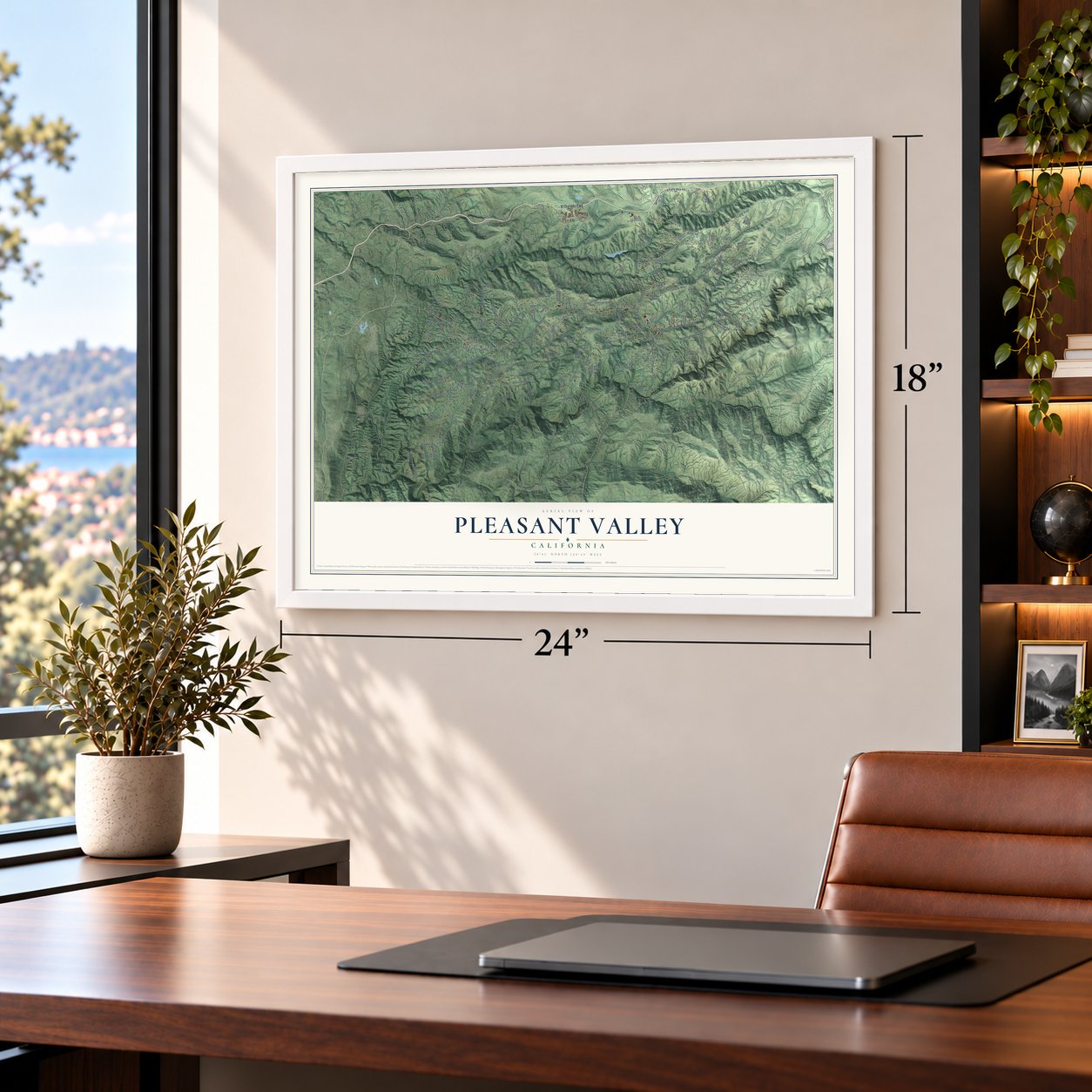
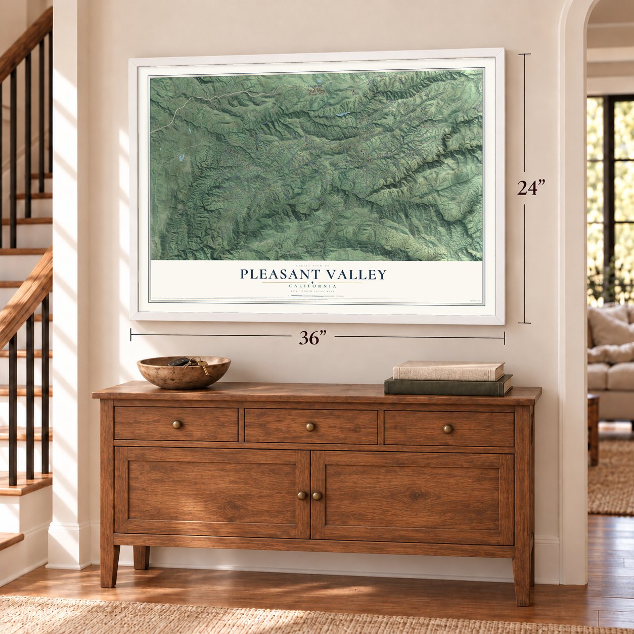
Unframed archival matte, a black wood frame or a white wood frame.
Up close
Geography Worth Displaying
This map was created using accurate cartographic data and authoritative geographic sources, including the U.S. Geological Survey and the Census Bureau. The map brings together terrain, waterways, roads, and building detail. The majority of the streets are labeled, houses are accurately depicted, and the topography is derived from government sources. Combining local data with carefully composed color and shading leads to this beautifully detailed Pleasant Valley artwork for your wall.
Rather than simply showing street outlines, we’ve included as many of the street names as we could reasonably fit on the map while keeping their names legible. Zoom in on the high resolution preview to see exactly what’s on the map. We truly set out to create a statement piece for anyone who loves Pleasant Valley. So whether it’s for you, or a gift for someone you love, we hope this map of Pleasant Valley brings back fond memories.
Read the story behind this map: Detailed Map of Pleasant Valley, California.

Find your street
Names on the Pleasant Valley map
Every name below is printed on this map. Look for your street, your school, the park where you played, or the pond down the road.
Places and landmarks6
- Sierra Springs
- Tiger Lily
- Avinsino Corner
- Camino Heights
- Cedar Grove
- Rancho del Sol
Streets and roads176
- El Dorado Fwy
- Pleasant Valley Road
- Bucks Bar Road
- Mount Aukum Road
- Alameda Road
- County Highway E16
- Oak Hill Road
- Starkes Grade Road
- Sly Park Road
- Snows Road
- Eight Mile Road
- Metate Trail
- Meyers Road
- Cedar Ravine Road
- Shooting Star Road
- Nashville Trail
- Springer Road
- Clear Creek Road
- Sierra Springs Drive
- Braden Road
- Big Oak Road
- Leisure Lane
- Quarry Road
- Brandy Lane
- Oak Leaf Circle
- Red Robin Road
- Horizon Drive
- Raccoon Road
- Kruk Trail
- Cosens Lane
Show all 176 streets
- Ranch Road
- Woodland Drive
- County Highway 116
- Eagle Canyon Road
- Dollhouse Road
- Alida Street
- Big Cut Road
- Newtown Road
- Lynx Trail
- Silver Ridge Lane
- Wisteria Road
- Campini Way
- Rimrock Road
- Country Lane
- Camp Nauvoo Road
- Sherwood Lane
- Thorson Drive
- Timber Lane
- Pennyroyal Drive
- Espina Loma Drive
- Twitchell Road
- Delos Lane
- Bodega Way
- Vogelsang Lane
- Cottontrail Road
- Blue Ridge Road
- Holm Road
- Nowalk Drive
- Ridgewood Drive
- Zandonella Road
- Trellis Trail
- Kearns Road
- Weber Road
- Roc Road
- Lofty View Road
- Kincade Drive
- Jamal Way
- Matti Court
- Puerta del Sol Road
- Moccasin Trail
- Mineral Way
- Victory Mine Road
- Rocky Ridge Road
- Five Spot Road
- Cedar Oak Road
- Savage Road
- Michael Way
- Greenhills Road
- Fairglade Road
- Rivendale Road
- Los Cerros Drive
- Winterhill Drive
- Maidu Trail
- Calamity Lane
- Buckaroo Trail
- Thundercloud Lane
- Pretty Good Road
- Coyote Hill Road
- Hidden Hollow Drive
- Manx Road
- Brewers Hill Road
- Chrome Ridge Road
- Caldwell Drive
- Moon Flower Lane
- Rainbow Ridge Road
- Ringold Road
- Shangri la Lane
- Windlestraw Road
- Spencers Road
- Paradise Lane
- Park Hill Drive
- Big Oak Court
- Treasure Rock Lane
- Grizzly Run
- Crestline Drive
- Moon Lake Drive
- Frank Bailey Lane
- Horseshoe Lane
- Diablo View Court
- Wagon Trail
- Abbey Road
- Meander Lane
- Sigwart Drive
- Wells Road
- Byecroft Road
- Linda Lane
- Cantrell Lane
- Peace Trail
- Raven Lane
- Horizon Court
- Silverado Drive
- Heagey Hill Road
- Metate Court
- Kreig Road
- Leisure View Road
- Abel Road
- Dusty Lane
- Palace Lane
- Tulip Court
- Locke Road
- Arch Lane
- Taxi Lane
- Glory Hole Drive
- Demyhig Lane
- Gold Dust Drive
- Red Dog Drive
- View Point Drive
- Westley Road
- Puerta del Sol
- Beau Val Lane
- Fort Jim Road
- Sagittarius Road
- Elderwood Lane
- China Camp Drive
- Chisholm Trail
- Tender Trail
- Valley Vista Drive
- Bull Head Lane
- Sharon Lane
- Denny Lane
- Diam Drive
- Jeff Road
- Sofar Road
- Doty Lane
- Fuji Court
- Gemstone Road
- Escondito Circle
- Turkey Feather Trail
- Heartland Road
- Saw Mill Road
- Still Meadow Road
- Terras Path
- Skyridge Road
- Dayton Lane
- Larkin Mine Road
- Yarrow Drive
- Wilderness Way
- Nawi Trail
- Tya Lane
- Wochanga Way
- Ponderhill Way
- Bucks Bar Circle
- Wish Upon Way
- Canyon Falls Road
- Zig Zag Lane
- Sunrey Road
Names are listed as they appear on the printed map. Zoom into the product photos to find them.
The art of mapping a place
How This Map Was Made
Real places. Remarkable detail. Discover the layers that turn geographic data into a map of home.

The view from above
Aerial imagery reveals the character of the land: woodland, open fields, and the patterns of a place.

The shape of the land
Elevation data brings hills, valleys, and subtle changes in the landscape into view.

The details of home
Roads, waterways, and building footprints come together to make the map feel unmistakably local.

Geography becomes art
Considered color, shading, and typography bring the layers together in a map made for your wall.


Process illustrated with Mendon, Massachusetts. Aerial imagery: USDA NAIP. Terrain: USGS 3D Elevation Program. Map details and finished artwork: KNOWOL.
The Details
About This Print
Choose an archival matte print, or a black or white Ayous wood frame. The archival matte print is unframed.
Select your size and finish above to see the matching product image and price.
Materials & Craftsmanship
A contemporary map with the character of a classic atlas, printed on archival matte paper. Optional frames are made from Ayous wood.
Your printed map does not include the watermark shown in the full-map preview.
Shipping & Delivery
Free shipping within the United States. Every print is made to order in the USA.
Buying a gift? Add a note in your cart and we'll include it. We never put prices in the package.
Prints ship within 2 to 3 business days. Allow 7 to 10 days total from ordering for delivery. Timing may vary during holidays or periods of high order volume.
Read our shipping policy.
Returns and damaged prints
Each print is made to order. Change-of-mind refunds are not available after production.
If your print arrives damaged, misprinted or incorrect, contact support@knowol.com within 30 days of receiving it. Include your order number, photos and a description of the issue.
Read our full refund and replacement policy. For questions about your order, email support@knowol.com.
Find your town
Looking for another city?
Find a map of home in our California collection, or any town in the country.
Nearby
Maps of towns near Pleasant Valley
Know someone from one of these towns? Their map makes a great gift.
 Camino
, California
From $39.99See the map
 Placerville
, California
From $39.99See the map
 Diamond Springs
, California
From $39.99See the map
More maps nearby: Pollock Pines, River Pines, Cold Springs, Grizzly Flats and Fiddletown.