
Search for another town





Free U.S. delivery 7 to 10 days after you order
Placerville, California Map Art
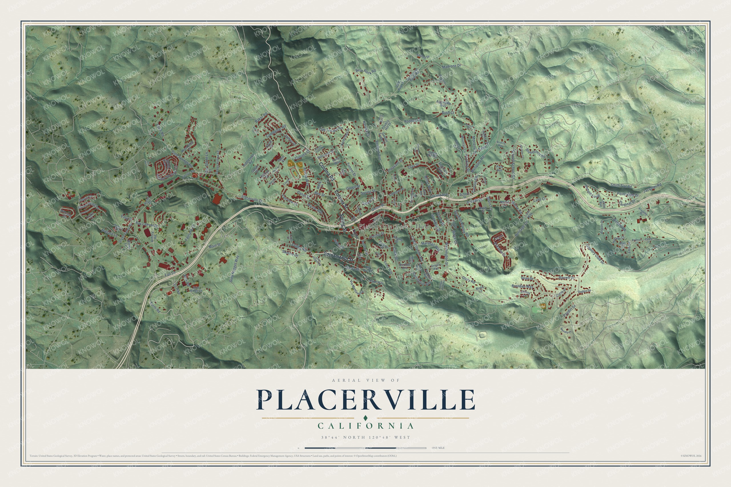
A new map of Placerville, California, made in 2026 and printed to order on thick archival matte paper.
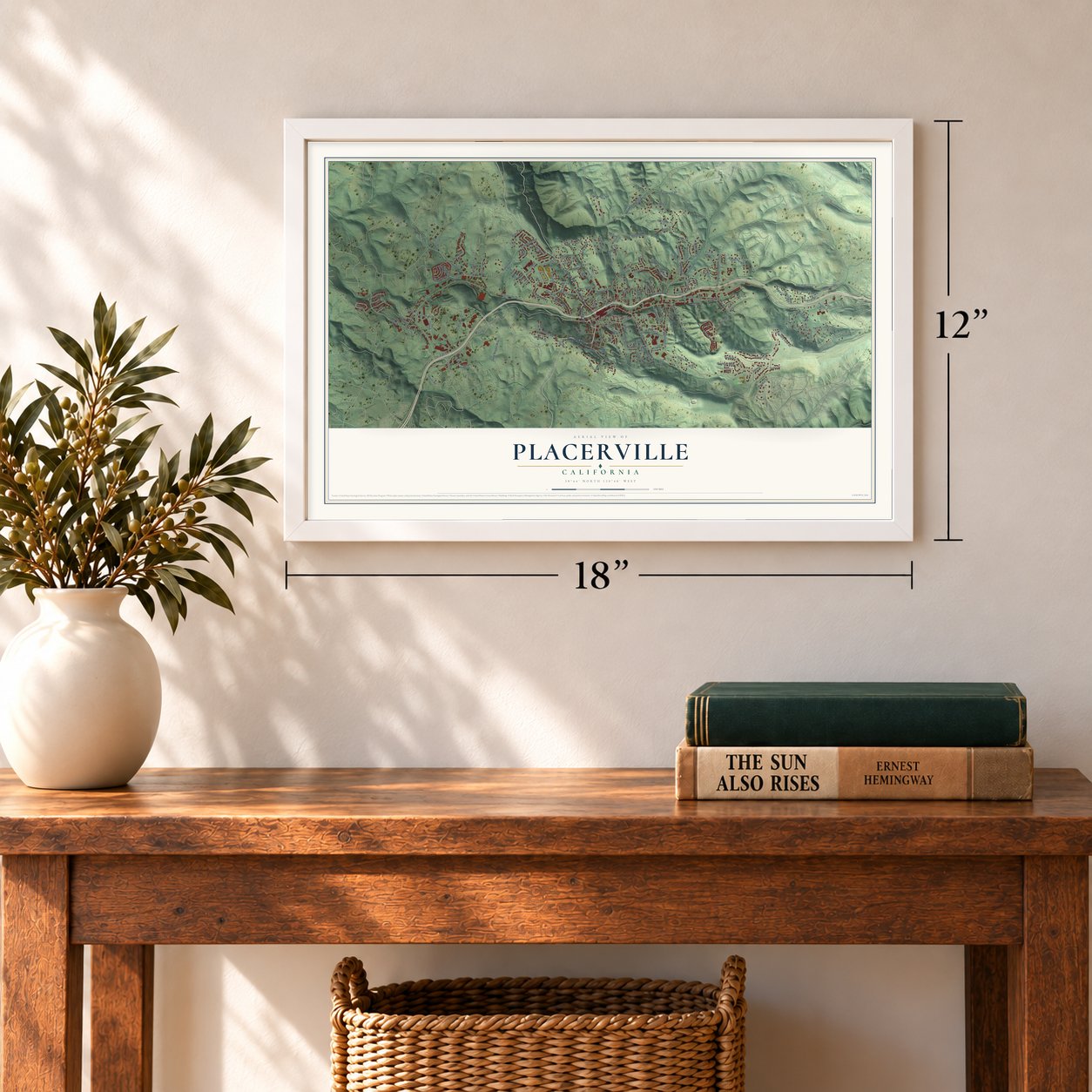
12" x 18" Archival Matte Print
A Map of Home. A Work of Art.
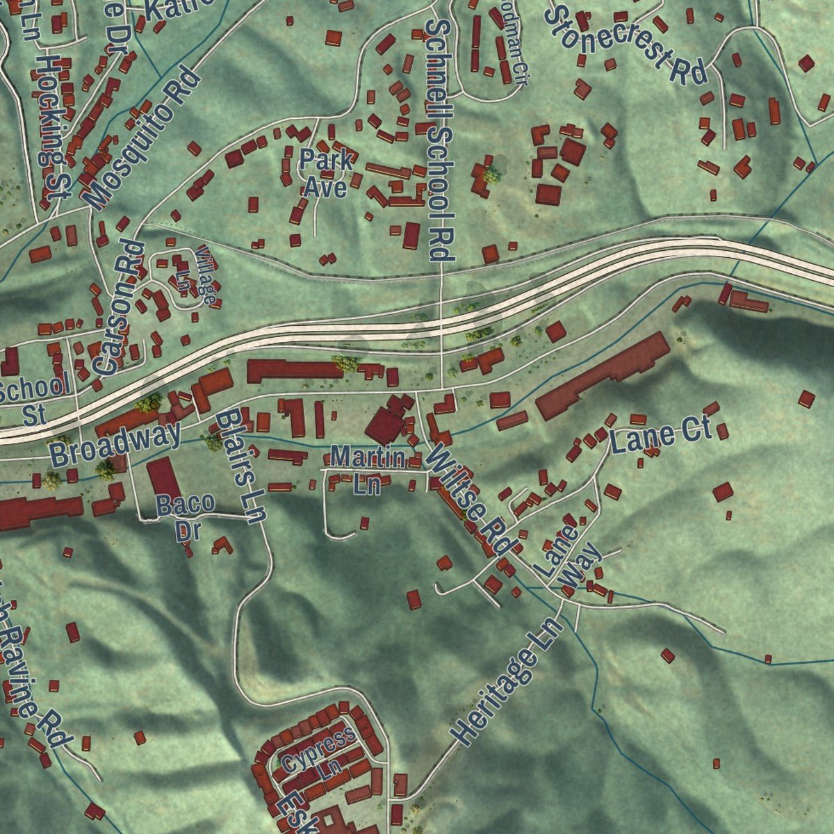
Explore Placerville, California from a whole new perspective. Created using aerial imagery and detailed geographic data, this map captures Placerville building by building, with labeled streets, familiar landmarks, and shaded topographical relief that highlights the natural contours of the landscape.
Combining modern data with the timeless character of a vintage atlas, this map is just as interesting up close as it is beautiful on the wall. Whether you grew up in Placerville, spent memorable years there, or call it home today, this unique map is a great way to celebrate a place that means something to you. Zoom in on the preview to look for your street, and then order a print to put your memories on the wall.
Three ways to hang it
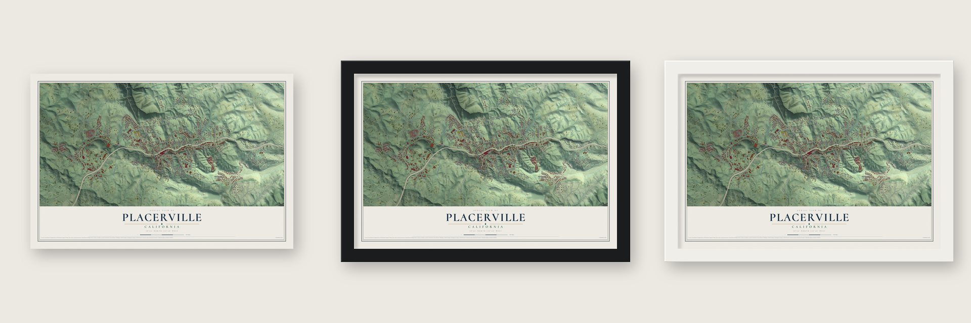
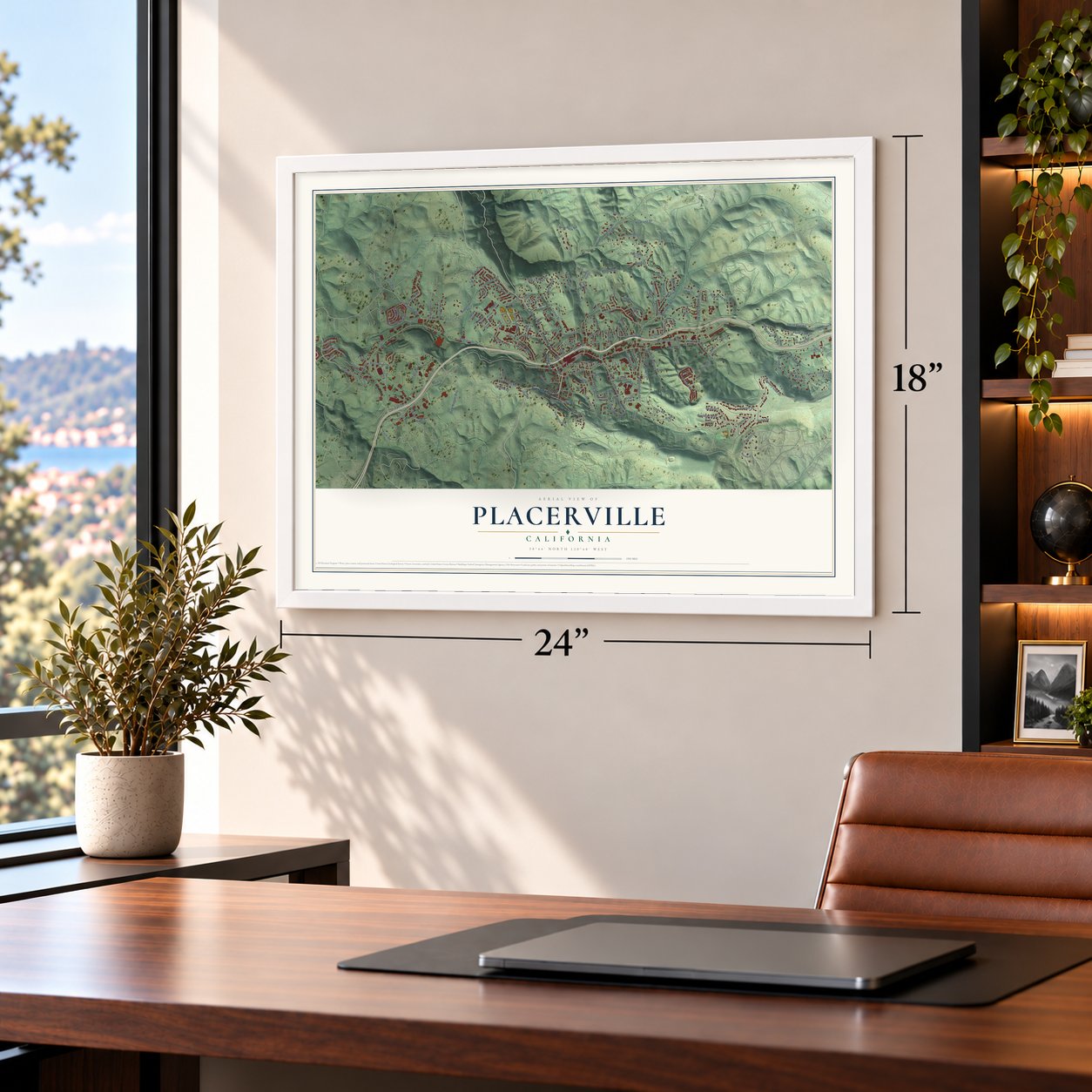
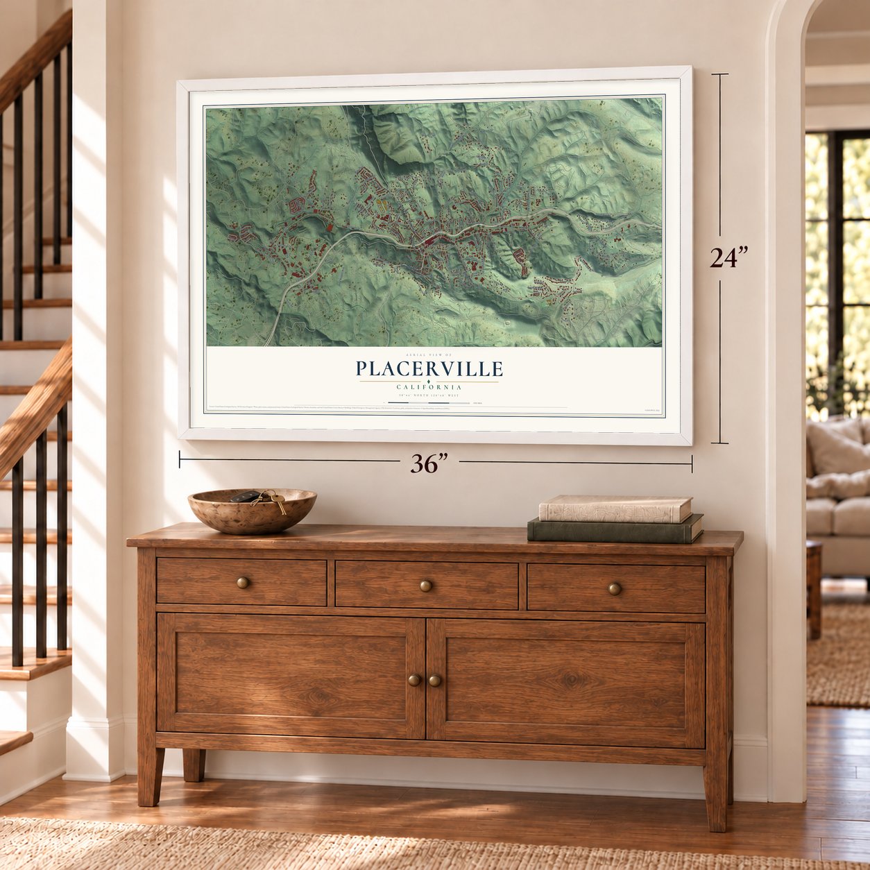
Unframed archival matte, a black wood frame or a white wood frame.
Up close
Geography Worth Displaying
This map was created using accurate cartographic data and authoritative geographic sources, including the U.S. Geological Survey and the Census Bureau. The map brings together terrain, waterways, roads, and building detail. The majority of the streets are labeled, houses are accurately depicted, and the topography is derived from government sources. Combining local data with carefully composed color and shading leads to this beautifully detailed Placerville artwork for your wall.
Rather than simply showing street outlines, we’ve included as many of the street names as we could reasonably fit on the map while keeping their names legible. Zoom in on the high resolution preview to see exactly what’s on the map. We truly set out to create a statement piece for anyone who loves Placerville. So whether it’s for you, or a gift for someone you love, we hope this map of Placerville brings back fond memories.
Read the story behind this map of Placerville, California from 2026.

About Placerville, California
Placerville is a city of 10,747 people and the county seat of El Dorado County, in the Sierra Nevada foothills. A Maidu settlement called Indak once stood on the site. After James W. Marshall found gold at Sutter's Mill in nearby Coloma in 1848, miners here hauled carts of dry soil to water to wash out the gold, so the camp became known as Dry Diggin's.
In 1849 the camp had no police. When five newcomers tried to rob a Mexican gambler, a mob seized three of them, two Frenchmen and a Chilean who were already wanted men, and hanged them from an oak on Main Street without a trial. The camp was called Hangtown after that. Churches and the temperance league pushed for a gentler name from about 1850, and they got it in 1854, when the town incorporated as Placerville, after its placer gold. It was then the third largest town in California, and in 1857 the county seat moved here from Coloma.
“Here on April 4, 1860, the first eastbound pony rider, William (Sam) Hamilton, changed horses, added an express letter to his mochila, and sped away for Sportsman's Hall.”
- George and the Hangtown fryA dummy called George hangs from a noose above the Old Hangman's Tree, which is now an ice cream parlor. Someone stole him in 2015, and he was replaced. The city kept a noose in its logo until April 2021, when the council voted unanimously to drop it, a year after an earlier redesign was turned down. Placerville also claims the Hangtown fry, a dish of eggs, bacon and oysters.
- California's first Druid hallIn 1860 the United Ancient Order of Druids founded Grove No. 1 in Placerville, the first Druid hall in the state. A tall stone column topped with a glass and metal torch, the Druid Monument, stands on Main Street to mark where the order began.
- Racing since 1965The El Dorado County Fair built the arena and main grandstand at Anderson Field in the winter of 1956. Warren Jewitt and Bruno Romani laid a clay track around its football field and called it Hangtown Speedway, and cars first raced there on June 18, 1965. Cut into a hillside, the track has steep banking and a dark red clay surface, and it now goes by Placerville Speedway.
- From rails to a trailThe Southern Pacific's branch from Folsom began as the Sacramento and Placerville Railroad; it was abandoned in the 1980s and now carries heritage trains. The Camino, Placerville and Lake Tahoe Railroad ran an eight-mile shortline up to Camino until June 17, 1986. The old track right-of-way has become a 37-mile trail for hikers and cyclists linking Folsom and Camino.
Find your street
Names on the Placerville map
Every name below is printed on this map. Look for your street, your school, the park where you played, or the pond down the road.
Places and landmarks4
- Placerville Town Hall
- Apex
- Gold Bug Park
- Lions Park
Streets and roads178
- Sacramento Street
- Spring Street
- Coloma Road
- Coloma Street
- Main Street
- Darlington Avenue
- Forni Road
- Airport Road
- Point View Drive
- Mosquito Road
- Hocking Street
- Ronald Loop
- Placerville Drive
- Broadway
- Cedar Ravine Road
- Country Club Drive
- Morrene Drive
- Bedford Avenue
- Cold Springs Road
- Clay Street
- Canal Street
- Ray Lawyer Drive
- Fair Lane
- Smith Flat Road
- Washington Street
- Blairs Lane
- Carson Road
- Hidden Springs Circle
- Eskaton Drive
- Locust Avenue
Show all 178 streets
- Gold Nugget Way
- Stonecrest Road
- Tunnel Street
- Skyline Drive
- Barrett Drive
- Oak Terrace Road
- Mallard Lane
- Wiltse Road
- Cardinal Drive
- Madrone Drive
- Pacific Street
- Clark Street
- Schnell School Road
- Spanish Ravine Road
- Combellac Road
- Pleasant Street
- Marshall Way
- Turner Street
- Myrtle Avenue
- Cribbs Road
- Bear Rock Road
- Miller Way
- Heritage Lane
- Sean Drive
- Paydirt Drive
- Bee Street
- Baker Road
- Green Street
- Brendan Way
- Stone Lane
- Acacia Way
- Fairview Court
- Colin Road
- Sierra Drive
- Sheridan Street
- Jacquier Road
- Ridge Court
- Green Wing Lane
- Hillcrest Street
- Glory Road
- Katie Lane
- Bush Court
- James Drive
- Fairlane Court
- Lois Lane
- Roddan Court
- Briw Road
- Coloma Court
- Kereka Court
- Davis Court
- Lane Court
- Union Street
- Easy Street
- Lo Highway
- Cottage Street
- Conrad Street
- Middletown Road
- Anderson Way
- Poverty Hill Drive
- Big Cut Road
- Estey Way
- Northridge Drive
- Big Canyon Creek Road
- Gold Bug Lane
- Winesap Circle
- Woodridge Court
- Pardi Way
- Ferrari Court
- Green Valley Road
- Via Montanosa
- Gerle Avenue
- Letitia Avenue
- Sleepy Hollow Court
- Airport Court
- Grandview Street
- Benham Street
- School Street
- Goldner Street
- Armory Road
- Winter Lane
- Spring View Lane
- Corey Drive
- Francis Avenue
- Pierroz Road
- Mountain Lane
- Golden Eagle Drive
- Park Avenue
- Molly Lane
- Elm Avenue
- Coleman Street
- Holly Way
- Aggregate Way
- Hillside Court
- Indian Hill Road
- Degolia Street
- David Circle
- Briw Ridge Court
- Lane Way
- Spear Street
- Martin Lane
- Jeffrey Lane
- Sarden Drive
- Duden Drive
- Baco Drive
- Goyan Avenue
- Bartlett Avenue
- Canal Court
- Drake Court
- Adams Street
- Vicini Drive
- Hilltop Drive
- Bud Lane
- Nicks Lane
- Mary Court
- High Street
- Penny Lane
- Sandra Circle
- Orchard Way
- Academy Drive
- Masada Court
- Coon Hollow Road
- Wildlife Way
- Giovanni Drive
- Fiske Street
- Cypress Lane
- Miles Way
- Cougar Lane
- Harvey Court
- Estey Court
- Corina Street
- Goldman Lane
- Woodman Circle
- Village Lane
- Reservoir Street
- Manor Drive
- New Jersey Way
- Pintail Lane
- Liberty Mine Court
- Norman Street
- Bennett Valley Road
- Cribbs Court
- Tranquil Creek Road
- Moulton Drive
- Andrea Lane
- Kenneth Court
- Azalea Lane
- Elm Court
- Chi Chi Lane
Names are listed as they appear on the printed map. Zoom into the product photos to find them.
The art of mapping a place
How This Map Was Made
Real places. Remarkable detail. Discover the layers that turn geographic data into a map of home.

The view from above
Aerial imagery reveals the character of the land: woodland, open fields, and the patterns of a place.

The shape of the land
Elevation data brings hills, valleys, and subtle changes in the landscape into view.

The details of home
Roads, waterways, and building footprints come together to make the map feel unmistakably local.

Geography becomes art
Considered color, shading, and typography bring the layers together in a map made for your wall.


Process illustrated with Mendon, Massachusetts. Aerial imagery: USDA NAIP. Terrain: USGS 3D Elevation Program. Map details and finished artwork: KNOWOL.
The Details
About This Print
Choose an archival matte print, or a black or white Ayous wood frame. The archival matte print is unframed.
Select your size and finish above to see the matching product image and price.
Materials & Craftsmanship
A contemporary map with the character of a classic atlas, printed on archival matte paper. Optional frames are made from Ayous wood.
Your printed map does not include the watermark shown in the full-map preview.
Shipping & Delivery
Free shipping within the United States. Every print is made to order in the USA.
Buying a gift? Add a note in your cart and we'll include it. We never put prices in the package.
Prints ship within 2 to 3 business days. Allow 7 to 10 days total from ordering for delivery. Timing may vary during holidays or periods of high order volume.
Read our shipping policy.
Returns and damaged prints
Each print is made to order. Change-of-mind refunds are not available after production.
If your print arrives damaged, misprinted or incorrect, contact support@knowol.com within 30 days of receiving it. Include your order number, photos and a description of the issue.
Read our full refund and replacement policy. For questions about your order, email support@knowol.com.
Find your town
Looking for another city?
Find a map of home in our California collection, or any town in the country.
Nearby
Maps of towns near Placerville
Know someone from one of these towns? Their map makes a great gift.
 Diamond Springs
, California
From $39.99See the map
 Cold Springs
, El Dorado County, California
From $39.99See the map
 Camino
, California
From $39.99See the map
More maps nearby: Coloma, Shingle Springs, Cameron Park, Pollock Pines and Georgetown.