
Search for another town




Free U.S. delivery 7 to 10 days after you order
Dothan, Alabama Map Art
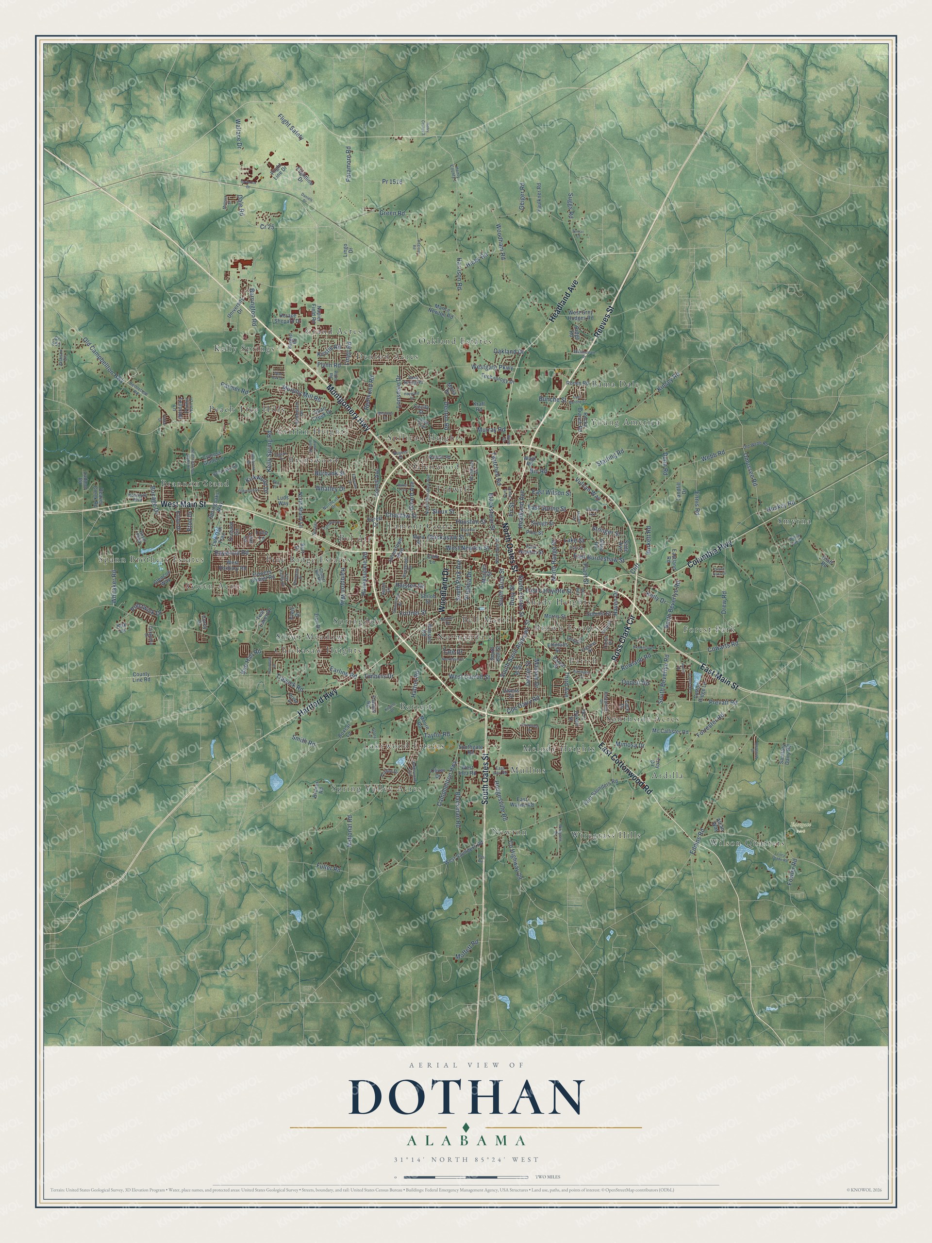
A new map of Dothan, Alabama, made in 2026 and printed to order on thick archival matte paper.
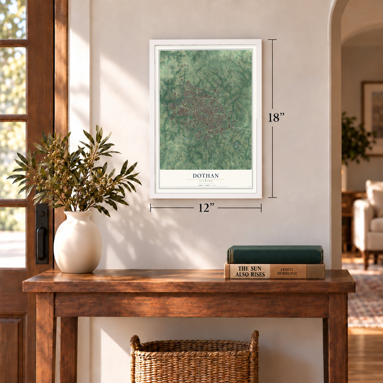
12" x 18" Archival Matte Print
A Map of Home. A Work of Art.
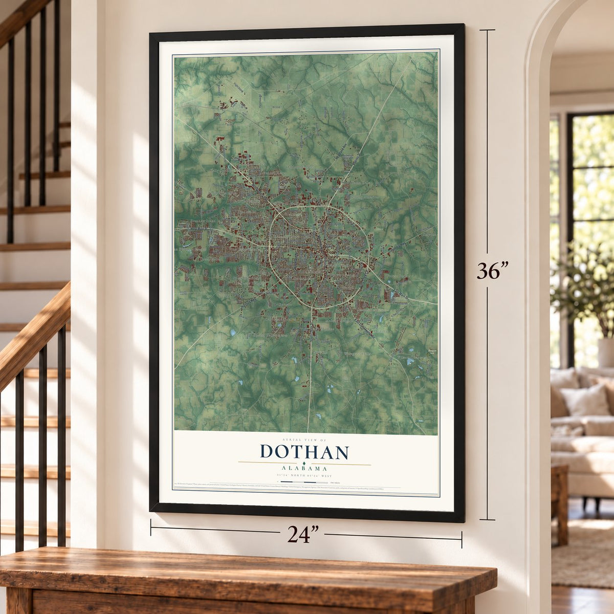
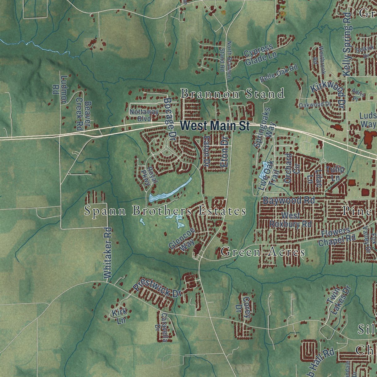
Explore Dothan, Alabama from a whole new perspective. Created using aerial imagery and detailed geographic data, this map captures Dothan building by building, with labeled streets, familiar landmarks, and shaded topographical relief that highlights the natural contours of the landscape.
Combining modern data with the timeless character of a vintage atlas, this map is just as interesting up close as it is beautiful on the wall. Whether you grew up in Dothan, spent memorable years there, or call it home today, this unique map is a great way to celebrate a place that means something to you. Zoom in on the preview to look for your street, and then order a print to put your memories on the wall.
Three ways to hang it
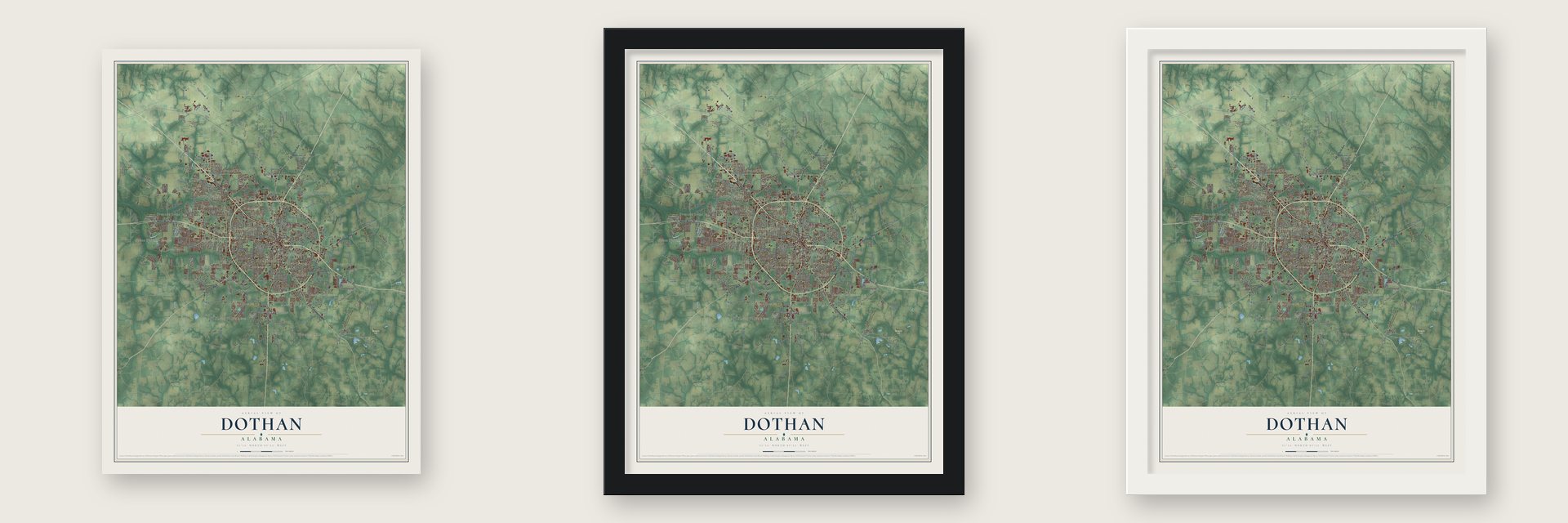
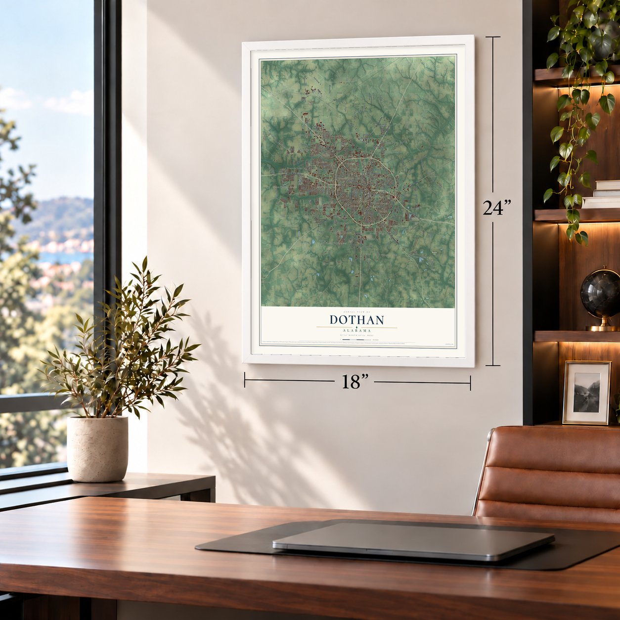
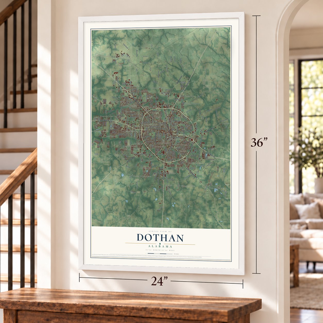
Unframed archival matte, a black wood frame or a white wood frame.
Up close
Geography Worth Displaying
This map was created using accurate cartographic data and authoritative geographic sources, including the U.S. Geological Survey and the Census Bureau. The map brings together terrain, waterways, roads, and building detail. The majority of the streets are labeled, houses are accurately depicted, and the topography is derived from government sources. Combining local data with carefully composed color and shading leads to this beautifully detailed Dothan artwork for your wall.
Rather than simply showing street outlines, we’ve included as many of the street names as we could reasonably fit on the map while keeping their names legible. Zoom in on the high resolution preview to see exactly what’s on the map. We truly set out to create a statement piece for anyone who loves Dothan. So whether it’s for you, or a gift for someone you love, we hope this map of Dothan brings back fond memories.
Read the story behind this map of Dothan, Alabama from 2026.

About Dothan, Alabama
Dothan is a city of 71,072 people and the seat of Houston County, in the Wiregrass region of southeastern Alabama. A freshwater spring where two Native American trade paths crossed made this spot a Yamassee and Creek trading post. In the 1830s lumbermen from Georgia came for the yellow pine, set up a lasting camp by the spring and named it Poplar Head for the trees nearby. Growth was slow, and only nine families lived there in 1860.
Work in lumber, turpentine and naval stores drew more settlers in the late 1870s, and they cleared farms around the old camp. When residents asked the federal government for a post office, they learned that another Alabama town already had the name Poplar Head. A local minister proposed Dothan, after a village named in the Bible, and the town was incorporated under that name on November 10, 1885.
“In its early days, Dothan was a rough place that took a toll on its more civic-minded citizens.”
- The Dothan Riot of 1889Farmers and lumbermen who rode into town on weekends paid little mind to its laws, and several mayors and lawmen quit in frustration. In 1889 the town put a tax on cotton wagons passing through. The Farmers' Alliance fought it, and when its leader refused to pay, he was arrested. A gunfight followed in which the marshal killed him and two other farmers. Afterward the anger faded, and farmers and town officials began working together.
- The railroad arrivesThe Alabama Midland Railroad laid track through Dothan in 1889, linking it with Montgomery and with Bainbridge, Georgia. The line made Dothan the trading center of Henry County, and the town soon grew past both Columbia, its rival on the river, and Abbeville, the county seat.
- Alabama's 67th and last countyBankers in Dothan, along with the Dothan Light's editor, pushed for a new county with the town as its seat. Delegates to the 1901 state constitutional convention changed the rules on county size to allow it, and in February 1903 the legislature created Houston County, named for former governor George S. Houston, with Dothan as its seat.
- Peanut Capital of the WorldWhen the boll weevil wiped out the cotton crops in the 1910s, area farmers switched to peanuts, and the crop made Dothan prosper. About one-quarter of the U.S. peanut harvest now grows within 75 miles of the city, much of it processed here, and Dothan holds the National Peanut Festival every year.
- Porter Hardware, since 1889Porter Hardware opened its doors in Dothan in 1889 and was the oldest hardware store in Alabama when it closed in 2014. Four years later, in 2018, the old store reopened as a museum.
Find your street
Names on the Dothan map
Every name below is printed on this map. Look for your street, your school, the park where you played, or the pond down the road.
Places and landmarks39
- Eastgate Park
- Ardilla
- Bama Dale
- Barrett
- Bel Air
- Bell-Merrill
- Brannon Stand
- Brentwood
- Brown Estates
- Chickasaw Heights
- Denton Acres
- Forest Park
Show all 39 places
- Glenwood
- Grand Acres
- Green Acres
- Griffin Heights
- Kelly Springs
- Lakewood Estates
- Lamont Court
- Melody Heights
- Mullins
- Newton
- Normandale
- Oakland Estates
- Parish
- Peach Tree Hills
- Pine Ridge Estates
- Shady Heights
- Silver Meadows
- Smyrna
- Southside Acres
- Spann Brothers Estates
- Spring Valley Acres
- Springdale
- Sullivan Heights
- Tidwell
- Wilson Quarters
- Wiregrass Hills
- Young America
Streets and roads280
- West Main Street
- Montgomery Highway
- East Main Street
- Reeves Street
- South Oates Street
- East Cottonwood Road
- Ross Clark Circle
- Columbia Highway
- Headland Avenue
- Hartford Highway
- Woodland Drive
- North Oates Street
- Murphy Mill Road
- Whatley Drive
- Lingo Road
- Whitaker Road
- Wallace Drive
- Cr 25
- Fortner Street
- Westgate Parkway
- South Park Avenue
- Denton Road
- Third Avenue
- Webb Road
- Harrison Road
- Kinsey Road
- Prevatt Road
- Omussee Road
- Kelly Spring Road
- Hodgesville Road
Show all 280 streets
- Honeysuckle Road
- East Burdeshaw Street
- Huskey Road
- Woodham Road
- Barrington Road
- Taylor Road
- Eddins Road
- Choctaw Street
- Campbellton Highway
- South Beverlye Road
- Drew Road
- North Range Street
- Forrester Road
- Blackman Road
- Old Campbellton Highway
- South Saint Andrews Street
- Green Road
- Timbers Drive
- Ennis Road
- South Alice Street
- Flynn Road
- Trawick Road
- Murray Road
- Hampton Way
- West Newton Street
- Chickasaw Street
- Burbank Street
- Dunn Road
- West Carroll Street
- Suggs Road
- Haven Drive
- Paramore Road
- Mimosa Drive
- Coe Dairy Road
- Redmond Road
- Houston Street
- Girard Avenue
- Lake Street
- Earline Road
- Rowland Road
- Prestwick Drive
- North Beverlye Road
- South Foster Street
- Oakland Drive
- Blackshear Street
- Starling Road
- East Lafayette Street
- Oppert Road
- Twitchell Road
- Flight Safety
- Baywood Road
- Massee Drive
- Burkett Road
- Dale Road
- Cowarts Road
- Bocage Drive
- Haisten Drive
- Geiger Road
- Tate Drive
- Hatton Road
- Dexter Street
- Lonsdale Drive
- Moffett Road
- Eton Drive
- East Wilson Street
- County Highway 29
- Virginia Drive
- National Road
- Hicks Road
- Sioux Street
- East Spring Street
- Dusy Street
- Pr 1516
- Stringer Street
- Kelly Drive
- Bob Hall Road
- Vulcan Way
- Kirkwood Drive
- Parmer Road
- Kristie Road
- Fowler Road
- Fuller Road
- Bic Road
- Smith Road
- Bunche Street
- Plant Street
- Fir Street
- Cliff
- Napier Field Road
- North Shady Lane
- Flowers Chapel Road
- Flightline Drive
- Morgan Street
- East Saunders Road
- Mc Callister Road
- Bruner Road
- Live Oak Trail
- Mance Newton Road
- Sanitary Dairy Road
- Orchard Circle
- Technology Drive
- Faulkner Road
- East Newton Street
- Horace Shepard Drive
- Roney Road
- East Wayne Road
- Eaton Drive
- West Grey Hodges Road
- Springoaks Way
- Rocky Branch Road
- Cypress Glade Lane
- Twin Lakes Drive
- Owens Street
- Glencoe Way
- Forest Drive
- Cotton Ridge Lane
- Beaver Creek Road
- Summit Street
- Jamestown Boulevard
- West Saunders Road
- Cornell Avenue
- Folsom Road
- South Bell Street
- Mona Drive
- University Drive
- Allen Road
- Landfill Drive
- Kirk Lane
- Boxcar Lane
- Hill Street
- West Roxbury Road
- Tulip Lane
- State Avenue
- Stough Street
- Ludmor Road
- Oliver Drive
- County Line Road
- Flight Line Drive
- Burt Drive
- Southgate Road
- West Inez Road
- Eastland Road
- Telluride Lane
- Ridge Road
- Quail Creek Drive
- Moore Road
- Dykes Street
- Pine Street
- Emmons Street
- Morris Street
- Parish Street
- Rimson Road
- Corey Drive
- Shiloh Street
- Lace Drive
- Zion Drive
- Luds Way
- Evert Drive
- Cecily Street
- Alcan Way
- Kraft Road
- Myra Street
- Lilac Lane
- Olaff Road
- Club Lane
- Lingo Drive
- Wagf Road
- Trey Circle
- Cr 551
- North Cherokee Avenue
- Royal Parkway
- Bethlehem Road
- Jackson Circle
- Northfield Circle
- North Bell Street
- Lagrand Drive
- Drake Drive
- Soccer
- Baggett Road
- Roosevelt Drive
- Nottaway Boulevard
- Eastwood Drive
- Foxfire Drive
- Plum Road
- Daniel Circle
- Belle Oak Road
- Summerain Terrace
- Northcutt Drive
- Old Webb Road
- Powder Horn Lane
- Caravella Drive
- Chapel Hill Road
- Randall Road
- Rock Spring Road
- Fox Valley Drive
- East Inez Road
- Henry County 1
- Torino Drive
- Verde Trail
- Pinto Drive
- Wise Drive
- Buyers Drive
- Naomi Drive
- Tv Road
- Glory Lane
- North Brannon Stand Road
- Lucy Grade Road
- North Lena Street
- Westbrook Road
- Circleview Drive
- Stonebridge Road
- Stonegate Drive
- Governor Drive
- Buena Vista Drive
- Osceola Street
- Selkirk Drive
- Oakwood Drive
- Darlington Circle
- Brookhill Road
- Wiregrass Drive
- Shakespeare Drive
- Lakeside Drive
- Rosewod Drive
- Saddlewood Trail
- Bent Oak Drive
- Westover Drive
- Craftsman Drive
- Grand Oaks Drive
- Fifth Avenue
- Melissa Street
- Meharis Circle
- Mendheim Drive
- Peel Road
- Fairlane Drive
- Heyward Drive
- Daniels Drive
- East Bunche Street
- Robindale Drive
- Eldorado Drive
- Henry County 3
- Baker Trce
- Pryor Street
- Register Road
- Worthy Avenue
- Kilgore Drive
- Huron Drive
- Willow Oak Place
- Sumac Court
- Adris Place
- Fulton Drive
Names are listed as they appear on the printed map. Zoom into the product photos to find them.
The art of mapping a place
How This Map Was Made
Real places. Remarkable detail. Discover the layers that turn geographic data into a map of home.

The view from above
Aerial imagery reveals the character of the land: woodland, open fields, and the patterns of a place.

The shape of the land
Elevation data brings hills, valleys, and subtle changes in the landscape into view.

The details of home
Roads, waterways, and building footprints come together to make the map feel unmistakably local.

Geography becomes art
Considered color, shading, and typography bring the layers together in a map made for your wall.


Process illustrated with Mendon, Massachusetts. Aerial imagery: USDA NAIP. Terrain: USGS 3D Elevation Program. Map details and finished artwork: KNOWOL.
The Details
About This Print
Choose an archival matte print, or a black or white Ayous wood frame. The archival matte print is unframed.
Select your size and finish above to see the matching product image and price.
Materials & Craftsmanship
A contemporary map with the character of a classic atlas, printed on archival matte paper. Optional frames are made from Ayous wood.
Your printed map does not include the watermark shown in the full-map preview.
Shipping & Delivery
Free shipping within the United States. Every print is made to order in the USA.
Buying a gift? Add a note in your cart and we'll include it. We never put prices in the package.
Prints ship within 2 to 3 business days. Allow 7 to 10 days total from ordering for delivery. Timing may vary during holidays or periods of high order volume.
Read our shipping policy.
Returns and damaged prints
Each print is made to order. Change-of-mind refunds are not available after production.
If your print arrives damaged, misprinted or incorrect, contact support@knowol.com within 30 days of receiving it. Include your order number, photos and a description of the issue.
Read our full refund and replacement policy. For questions about your order, email support@knowol.com.
Find your town
Looking for another city?
Find a map of home in our Alabama collection, or any town in the country.
Nearby
Maps of towns near Dothan
Know someone from one of these towns? Their map makes a great gift.
 Grimes
, Alabama
From $39.99See the map
 Cowarts
, Alabama
From $39.99See the map
 Kinsey
, Alabama
From $39.99See the map
More maps nearby: Taylor, Napier Field, Webb, Midland City and Rehobeth.