
Search for another town



Free U.S. delivery 7 to 10 days after you order
Dover-Foxcroft, Maine Map Art
Building by building, with labeled streets and shaded relief.
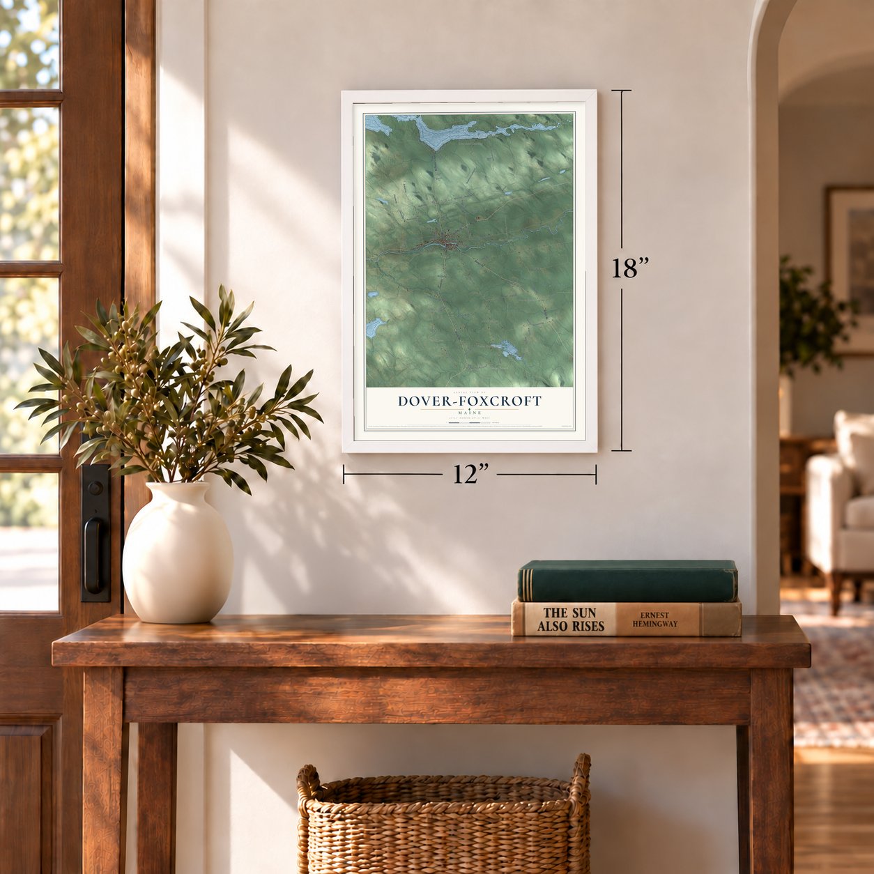
12" x 18" Archival Matte Print
A Map of Home. A Work of Art.
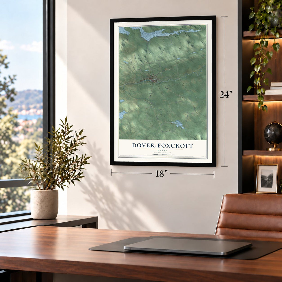
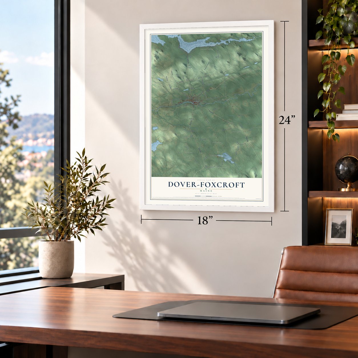
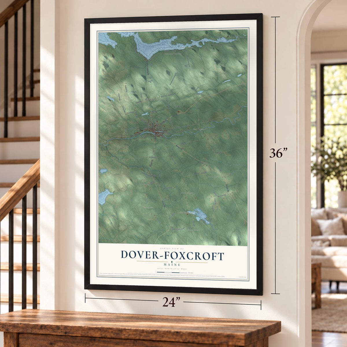
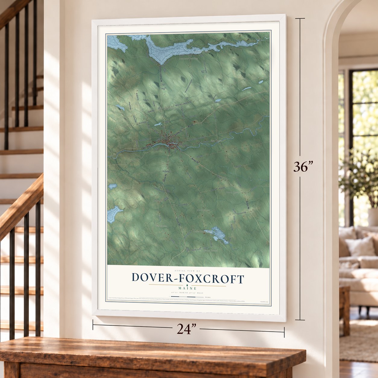
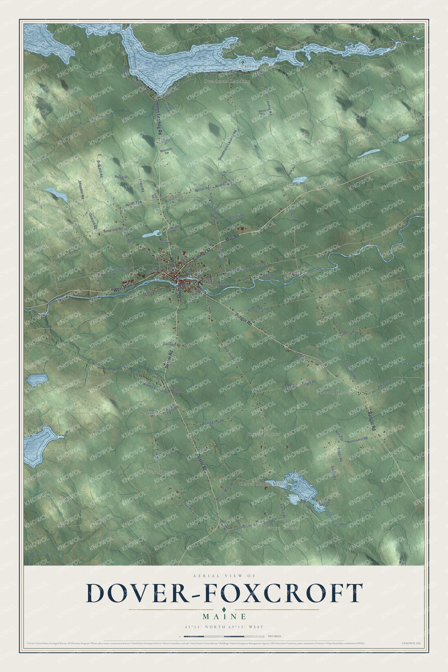
Explore Dover-Foxcroft, Maine from a whole new perspective. Created using aerial imagery and detailed geographic data, this map captures Dover-Foxcroft building by building, with labeled streets, familiar landmarks, and shaded topographical relief that highlights the natural contours of the landscape.
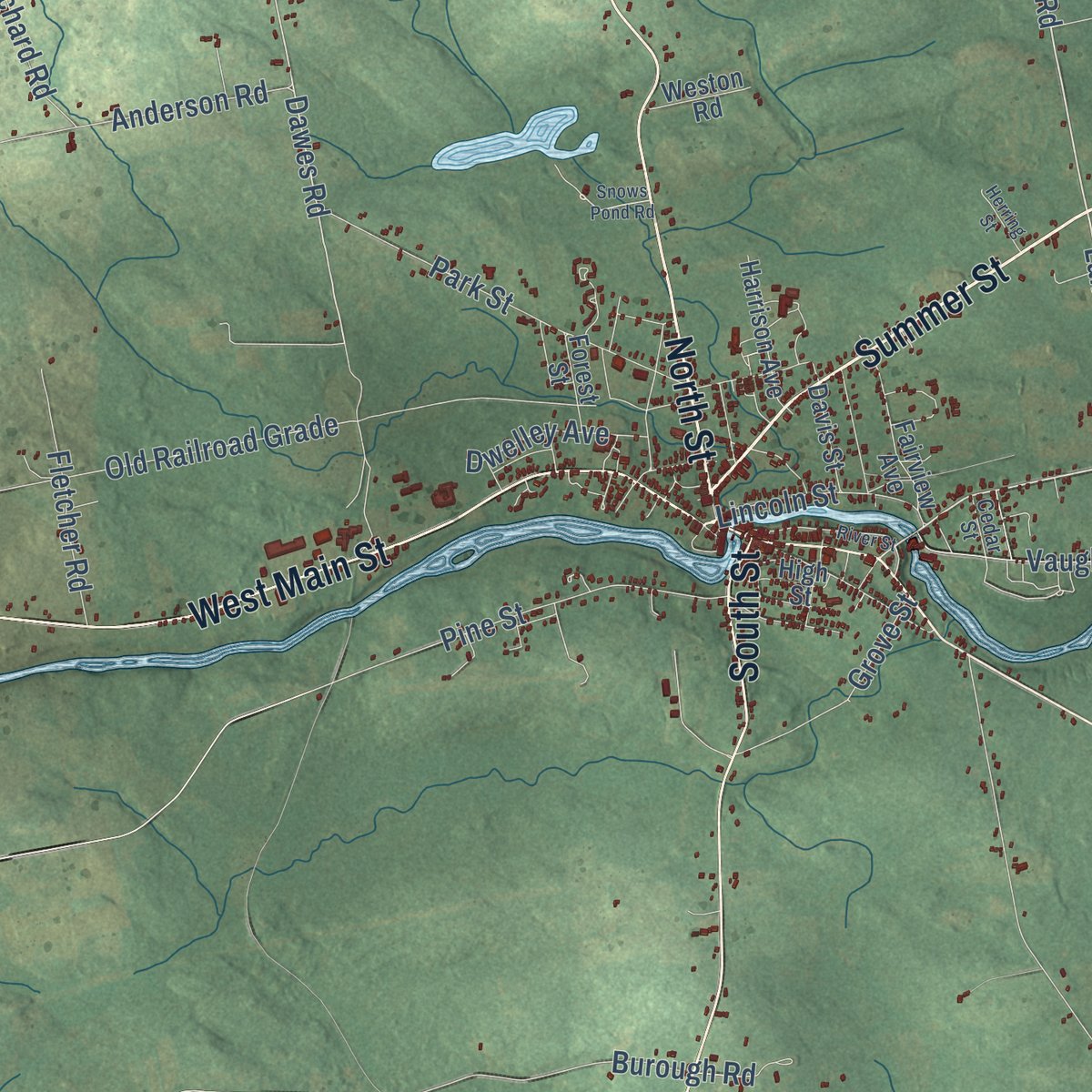
Combining modern data with the timeless character of a vintage atlas, this map is just as interesting up close as it is beautiful on the wall. Whether you grew up in Dover-Foxcroft, spent memorable years there, or call it home today, this unique map is a great way to celebrate a place that means something to you. Zoom in on the preview to look for your street, and then order a print to put your memories on the wall.
Three ways to hang it
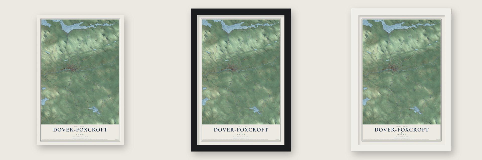
Unframed archival matte, a black wood frame or a white wood frame.
Up close
Geography Worth Displaying
This map was created using accurate cartographic data and authoritative geographic sources, including the U.S. Geological Survey (USGS) and FEMA. The map brings together terrain, waterways, roads, and building detail. The majority of the streets are labeled, houses are accurately depicted, and the topography is derived from government sources. Combining local data with carefully composed color and shading leads to this beautifully detailed Dover-Foxcroft artwork for your wall.
Rather than simply showing street outlines, we’ve included as many of the street names as we could reasonably fit on the map while keeping their names legible. Zoom in on the high resolution preview to see exactly what’s on the map. We truly set out to create a statement piece for anyone who loves Dover-Foxcroft. So whether it’s for you, or a gift for someone you love, we hope this map of Dover-Foxcroft brings back fond memories.
Explore the full map of Dover-Foxcroft, Maine and read about the local places it shows.

Find your street
Names on the Dover-Foxcroft map
Every name below is printed on this map. Look for your street, your school, the park where you played, or the pond down the road.
Places and landmarks10
- Berrys Corner
- Parson Landing
- East Dover
- South Dover
- Starbirds
- Goffs Corner
- West Dover
- Hurd Corner
- Steadman Landing
- Dover South Mills
Streets and roads86
- Milo Road
- Summer Street
- North Street
- Greelys Landing Road
- West Main Street
- Dexter Road
- South Street
- Bangor Road
- Essex Street
- Foxcroft Center Road
- Hewitt Road
- Bolton Road
- Center Range Road
- Holmes Road
- Landfill Road
- Dawes Road
- Gray Hill Road
- Cotton Brook Road
- River Road
- State Park Road
- Garland Line Road
- Ling Road
- Notch Road
- Pine Street
- Old Railroad Grade
- Bear Hill Road
- East Dover Road
- Parsons Landing Road
- Range Road
- Norton Hill Road
Show all 86 streets
- Steadmans Landing Road
- Fern Road
- Bryant Road
- Byrant Road
- Klimaviez Road
- Board Eddy Road
- Shaw Road
- Merrills Mills Road
- Anderson Road
- Park Street
- Vulner Road
- Burough Road
- Doore Road
- Orchard Road
- Bessey Road
- Wheaton Road
- Line Road
- Atkinson Road
- Chandler Road
- French Road
- Fletcher Road
- Kinney Corner Road
- Grove Street
- Vaughn Street
- Ames Road
- Kerrie Drive
- Lincoln Street
- Briggs Road
- Dwelley Avenue
- Nellie Drive
- Fairview Avenue
- Starbird Siding Road
- Shore Road North
- Larrabee Farm Road
- Harrison Avenue
- Towne Road
- Beach View Road
- Mountain Vw
- Davis Street
- Wagon Trail Lane
- High Street
- Weston Road
- Forest Street
- North Road
- Oliver Hill Road
- Berce Way
- Goff Road
- Highland Road
- Snoforus Drive
- Cedar Street
- Snows Pond Road
- Garland Pond Road
- River Street
- Cooms Road
- Herring Street
- Crosby Lane
Names are listed as they appear on the printed map. Zoom into the product photos to find them.
About Dover-Foxcroft, Maine
Dover-Foxcroft is a town of 4,422 people and the seat of Piscataquis County, close to the middle of Maine. It was once two towns facing each other across the Piscataquis River. The southern side, Dover, was bought from the Commonwealth by Charles Vaughan and John Merrick, English-born merchants living in Boston. Its first permanent settler, Eli Towne, came up from Temple, New Hampshire, in 1803. Its early farmers raised potatoes, corn and grain.
North of the river, Massachusetts had granted Bowdoin College a numbered township, T5 R7 NWP, in 1796. In 1800 it was bought by Joseph E. Foxcroft of New Gloucester, and when John, Eleazer and Seth Spaulding arrived in 1806 and built its first mill, people called the place Spauldingtown. It took its owner's name when it was incorporated on February 29, 1812. Dover followed on January 19, 1822, and the two towns grew side by side on the river's water power until they merged on March 1, 1922.
- Two mill towns in 1859In 1859 Dover had 2,500 people and Foxcroft had 1,045, and the river turned wheels on both banks. Dover ran four sawmills, a gristmill, two tanneries, two carriage shops and a woolen factory. Foxcroft had two sawmills, a tannery, a chair maker, a fork maker, two pail makers, a machinist and a factory for sashes, doors and blinds. Hughes & Son began building pianos here in 1866 and kept at it until 1921.
- A century of woolen clothIndustry has used this East Main Street site since 1822. In 1844 James Mayo and partners built a mill there that wove woolen cloth for roughly a hundred years, ranking among the region's largest employers. Its 1908 building is among Maine's first to use structural concrete. Textile work ended in 1953, furniture making in 2007.
- A flatiron newspaper officeThe Observer Building, a three-sided flatiron of 1854, stands where Pleasant Street branches off East Main Street. For most of the 20th century it housed The Piscataquis Observer, a weekly paper with roots in 1838. Today the historical society keeps it as a museum. The society also runs a second museum out on Dawes Road, the Chandler-Parsons Blacksmith Shop, a smithy probably built in the early 1860s whose 19th-century tools are still inside.
- A saved theater and whoopie piesThe Center Theatre opened its doors in 1940 and went dark in 1971. Local people formed a group to save it, and it reopened in 2006. It now runs the Maine Whoopie Pie Festival, held for one day in late June since 2009. The festival drew 5,000 people in 2012 and more than 7,500 in 2014, and in 2013 Maine named the whoopie pie its official state treat.
- A mill worker's college degreeMary Mitchell Birchall was born in Dover in 1840. She paid her own way through Bates College by working in a textile mill and graduated in 1869, and she is credited as New England's first woman with a bachelor's degree. She went on to teach at Vassar College.
Keep exploring Maine
Dover-Foxcroft is one of 536 Maine towns we've mapped. Every dot on the map is a print of its own.
The search covers every state, Maine first.
Near Dover-Foxcroft
Order 2 or more town maps and save 10%. Shown in the size and finish you picked above, so they hang as a set.
- Sangerville 12" x 18" / Archival Matte Print $39.99
- Sebec 12" x 18" / Archival Matte Print $39.99
- Garland 12" x 18" / Archival Matte Print $39.99
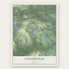
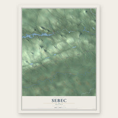
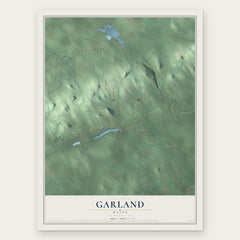
More maps nearby: Guilford, Bowerbank, Dexter, Charleston and Milo.
The art of mapping a place
How This Map Was Made
Real places. Remarkable detail. Discover the layers that turn geographic data into a map of home.

The view from above
Aerial imagery reveals the character of the land: woodland, open fields, and the patterns of a place.

The shape of the land
Elevation data brings hills, valleys, and subtle changes in the landscape into view.

The details of home
Roads, waterways, and building footprints come together to make the map feel unmistakably local.

Geography becomes art
Considered color, shading, and typography bring the layers together in a map made for your wall.


Process illustrated with Mendon, Massachusetts. Aerial imagery: USDA NAIP. Terrain: USGS 3D Elevation Program. Map details and finished artwork: KNOWOL.
The Details
About This Print
Choose an archival matte print, or a black or white Ayous wood frame. The archival matte print is unframed.
Select your size and finish above to see the matching product image and price.
Materials & Craftsmanship
A contemporary map with the character of a classic atlas, printed on archival matte paper. Optional frames are made from Ayous wood.
Your printed map does not include the watermark shown in the full-map preview.
Shipping & Delivery
Free shipping within the United States. Every print is made to order in the USA.
Buying a gift? Add a note in your cart and we'll include it. We never put prices in the package.
Prints ship within 2 to 3 business days. Allow 7 to 10 days total from ordering for delivery. Timing may vary during holidays or periods of high order volume.
Read our shipping policy.
Returns and damaged prints
Each print is made to order. Change-of-mind refunds are not available after production.
If your print arrives damaged, misprinted or incorrect, contact support@knowol.com within 30 days of receiving it. Include your order number, photos and a description of the issue.
Read our full refund and replacement policy. For questions about your order, email support@knowol.com.