
Search for another town
Free U.S. delivery 7 to 10 days after you order
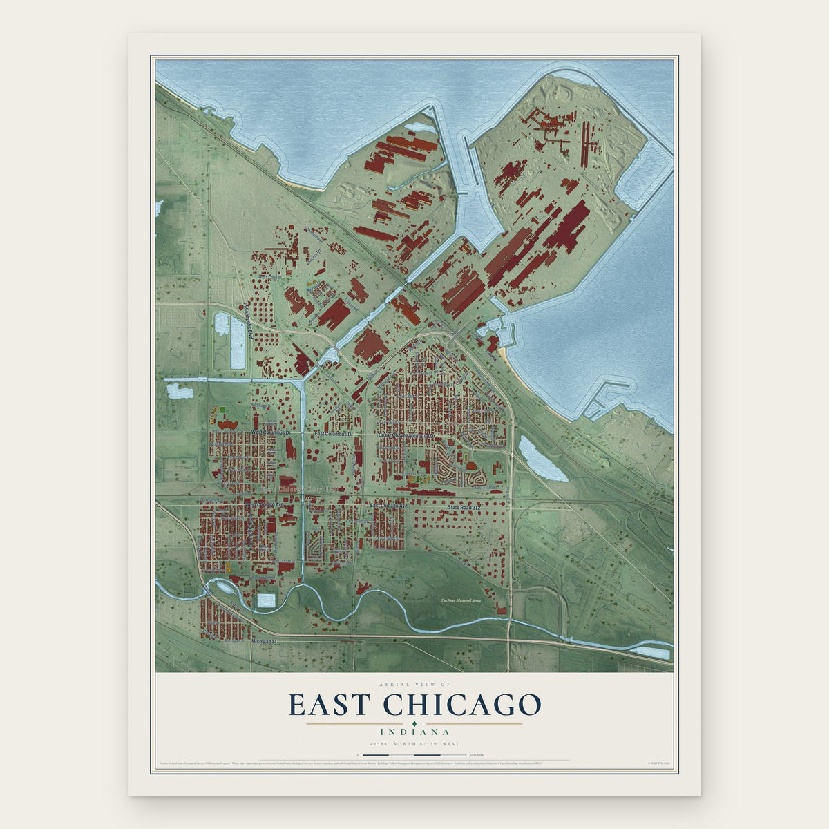
East Chicago, Indiana Map Art
Building by building, with labeled streets and shaded relief.
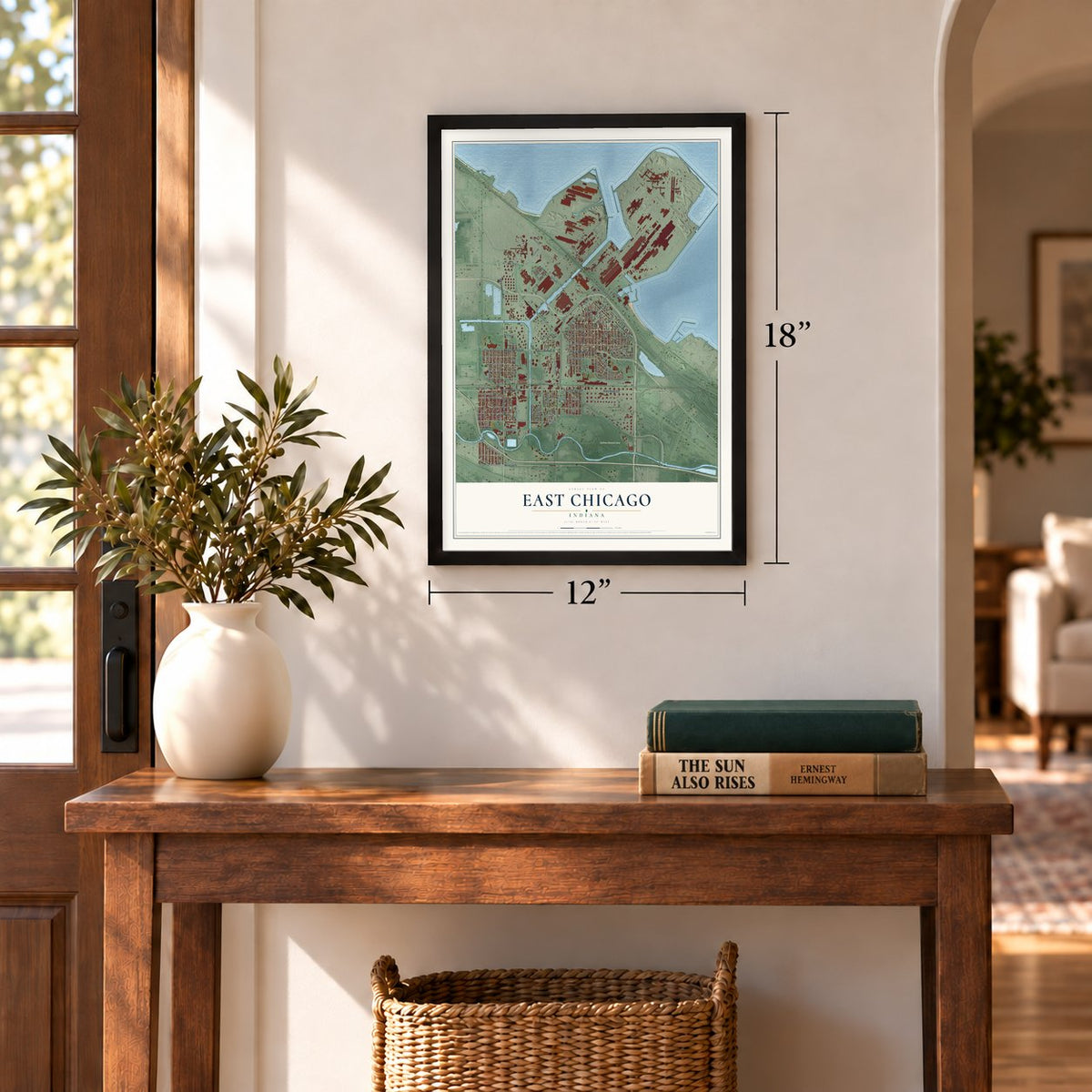
12" x 18" Archival Matte Print
A Map of Home. A Work of Art.
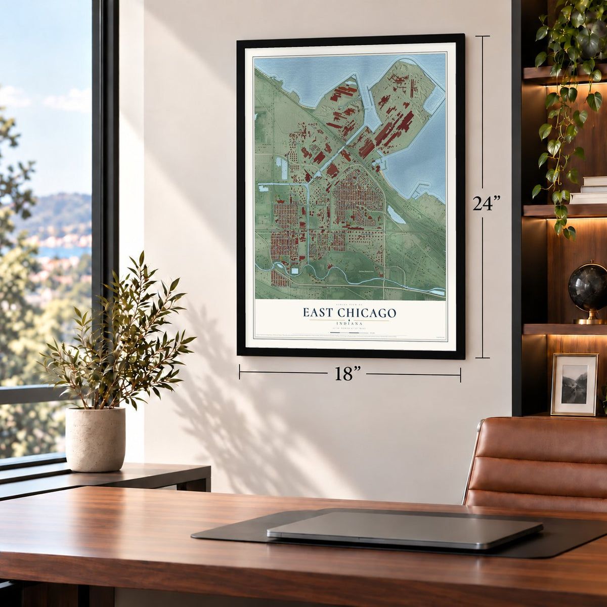
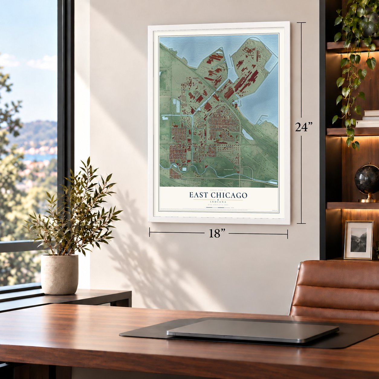
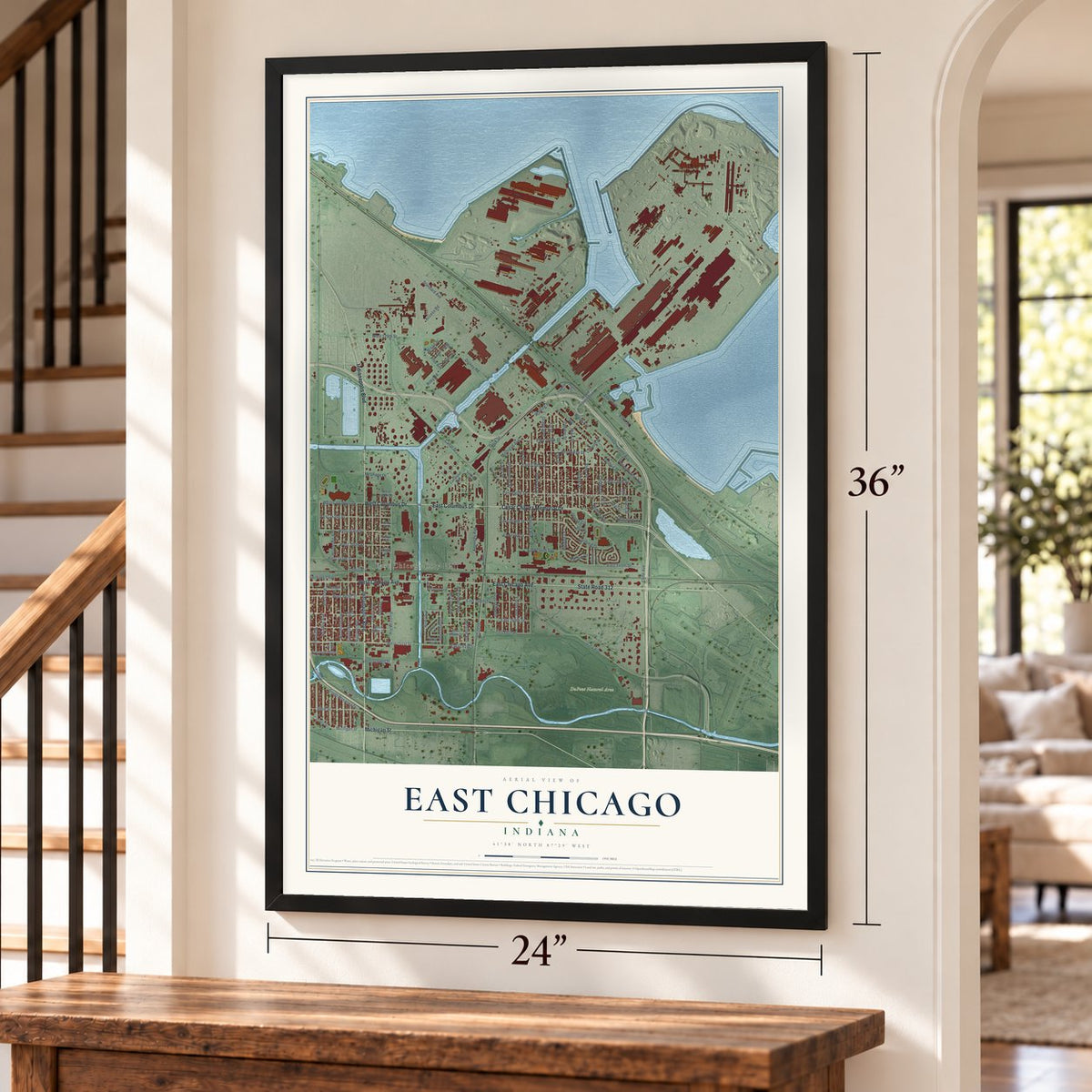
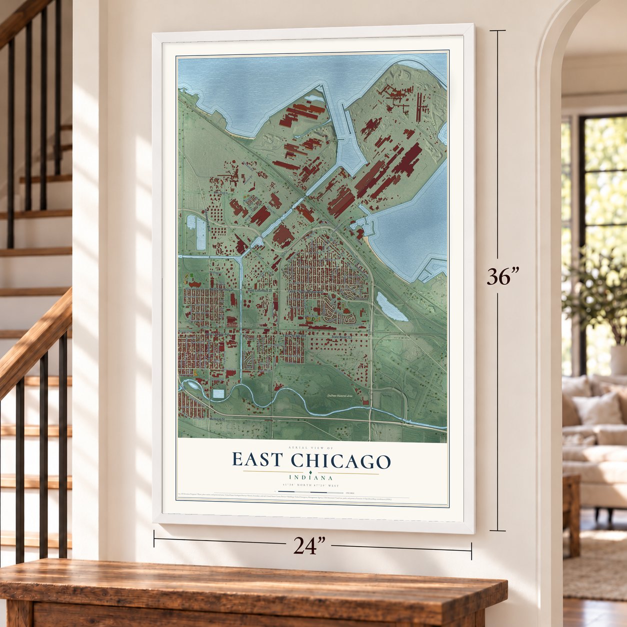
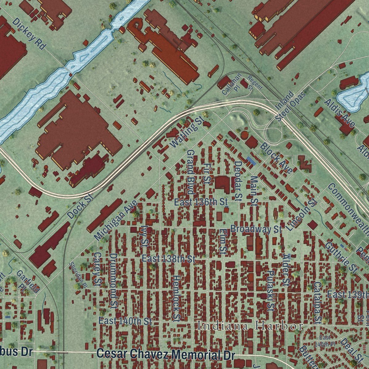
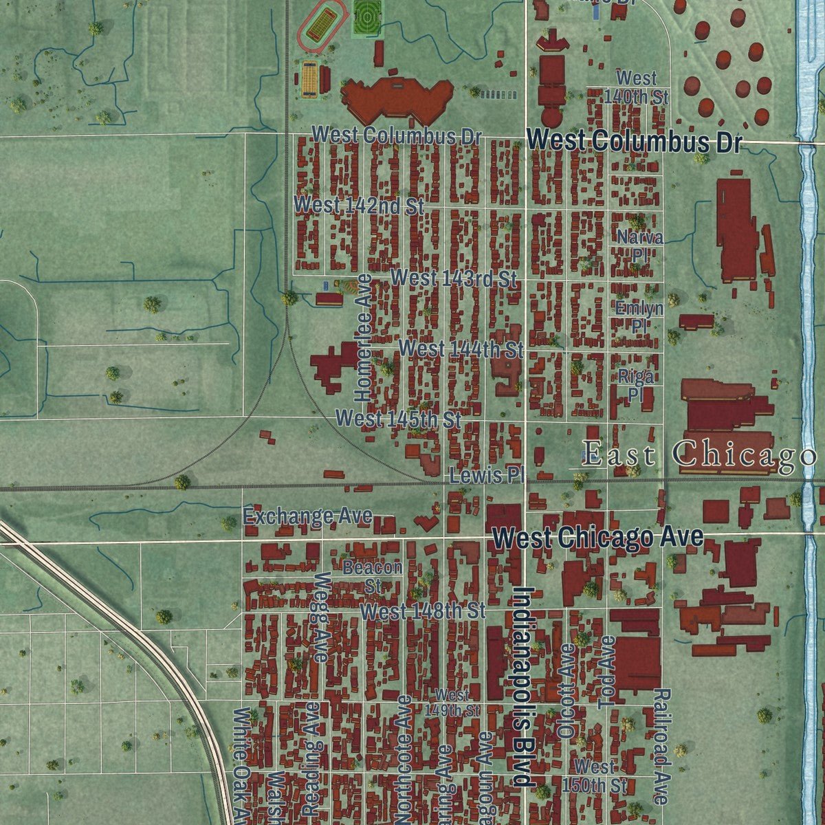
Explore East Chicago, Indiana from a whole new perspective. Created using aerial imagery and detailed geographic data, this map captures East Chicago building by building, with labeled streets, familiar landmarks, and shaded topographical relief that highlights the natural contours of the landscape.
Combining modern data with the timeless character of a vintage atlas, this map is just as interesting up close as it is beautiful on the wall. Whether you grew up in East Chicago, spent memorable years there, or call it home today, this unique map is a great way to celebrate a place that means something to you. Zoom in on the preview to look for your street, and then order a print to put your memories on the wall.

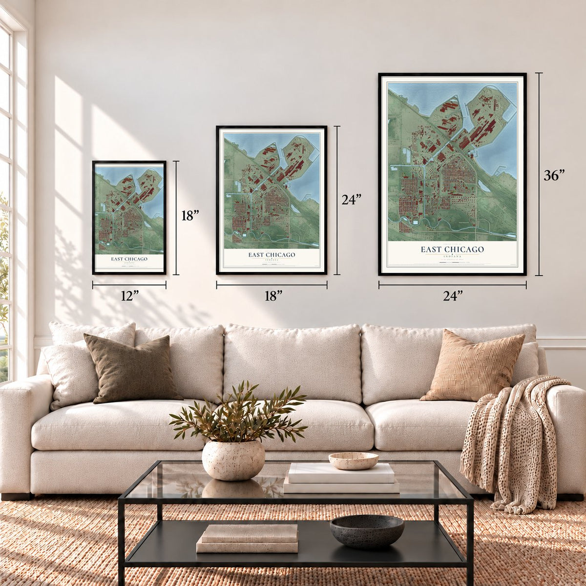
Three ways to hang it
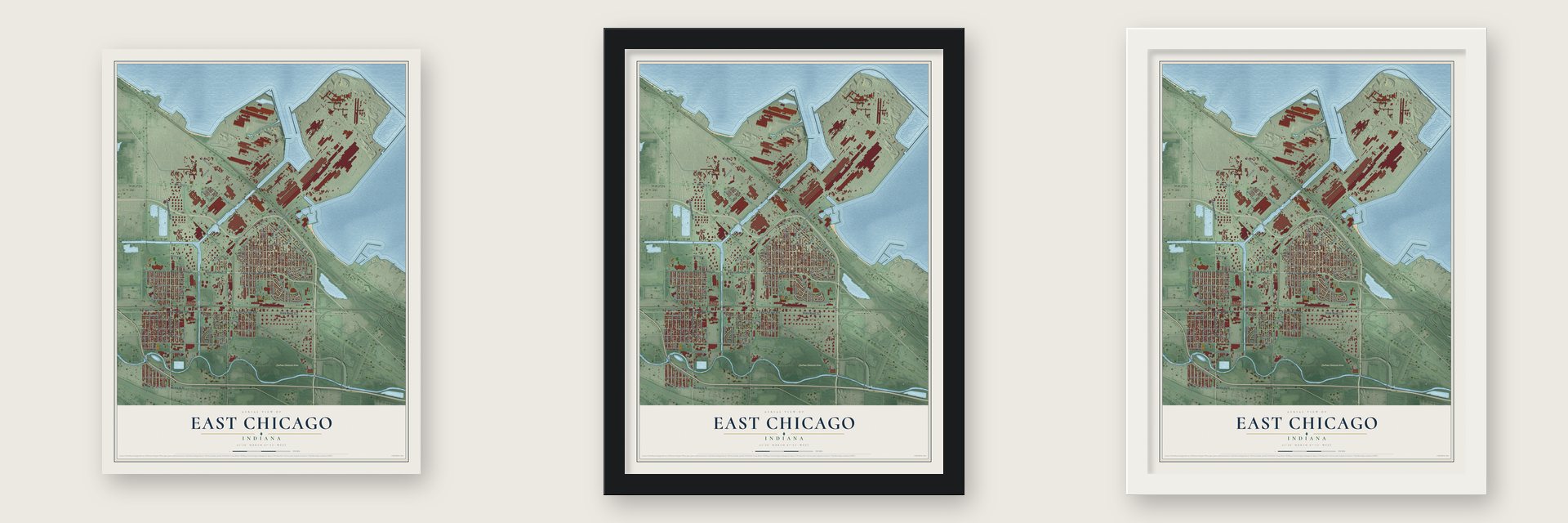
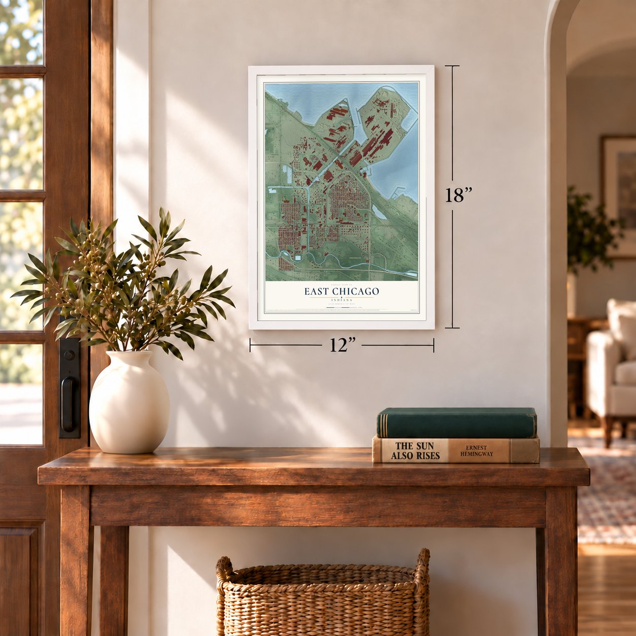
Unframed archival matte, a black wood frame or a white wood frame.
Up close
Geography Worth Displaying
This map was created using accurate cartographic data and authoritative geographic sources, including the U.S. Geological Survey and the Census Bureau. The map brings together terrain, waterways, roads, and building detail. The majority of the streets are labeled, houses are accurately depicted, and the topography is derived from government sources. Combining local data with carefully composed color and shading leads to this beautifully detailed East Chicago artwork for your wall.
Rather than simply showing street outlines, we’ve included as many of the street names as we could reasonably fit on the map while keeping their names legible. Zoom in on the high resolution preview to see exactly what’s on the map. We truly set out to create a statement piece for anyone who loves East Chicago. So whether it’s for you, or a gift for someone you love, we hope this map of East Chicago brings back fond memories.
Read the story behind this map of East Chicago, Indiana from 2026.
Find your street
Names on the East Chicago map
Every name below is printed on this map. Look for your street, your school, the park where you played, or the pond down the road.
Places and landmarks3
- East Chicago City Hall
- Indiana Harbor
- DuPont Natural Area
Streets and roads125
- East Columbus Drive
- Indianapolis Boulevard
- West Columbus Drive
- State Road 312
- Cesar Chavez Memorial Drive
- East Chicago Avenue
- West Chicago Avenue
- Michigan Street
- Grasselli Avenue
- White Oak Avenue
- Gary Avenue
- Cline Avenue
- Michigan Avenue
- Access Road
- Commonwealth Avenue
- Parrish Avenue
- Alder Street
- Block Avenue
- Cardinal Drive
- Kennedy Avenue
- Riley Road
- Euclid Avenue
- Railroad Avenue
- Dickey Road
- Baring Avenue
- Ivy Street
- East 140th Street
- Magoun Avenue
- Northcote Avenue
- East 139th Street
Show all 125 streets
- Tod Avenue
- Elm Street
- Drummond Street
- Grand Boulevard
- Carey Street
- Homerlee Avenue
- Wegg Avenue
- Guthrie Street
- Fir Street
- Walsh Avenue
- East 138th Street
- Olcott Avenue
- West 151st Street
- East 148th Street
- West 129th Street
- Canal Street
- East 145th Street
- Butternut Street
- Pennsylvania Avenue
- Melville Avenue
- Alexander Avenue
- Broadway Street
- Deodar Street
- West 148th Street
- East 149th Street
- Hemlock Street
- West 145th Street
- Main Street
- Reading Avenue
- Deal Street
- Huish Drive
- West 143rd Street
- West 142nd Street
- Pulaski Street
- McCook Avenue
- Roxana Drive
- East 136th Street
- Catalpa Street
- West 144th Street
- Carroll Street
- East 142nd Street
- Exchange Avenue
- South Roxanna Drive
- East 151st Street
- McShane Drive
- Shell Street
- East 144th Street
- Dock Street
- Grace Street
- Aster Avenue
- Dearborn Street
- Gladiola Avenue
- Aldis Avenue
- Joy Lane
- Purdue Drive
- Aldis Street
- Standard Avenue
- Lincoln Street
- West 152nd Street
- Watling Street
- Hidalgo Lane
- Vernon Avenue
- Broad Street
- Pine Avenue
- Jeorse Circle
- Lilac Street
- Lewis Place
- Inland Steel Opas
- East 149th Place
- Garfield Place
- West 150th Street
- Canalport Avenue
- East 143rd Street
- Beacon Street
- East 150th Street
- Kosciusko Boulevard
- Fern Street
- Arbutus Lane
- Oak Street
- West 140th Street
- 151st Place
- Emlyn Place
- Riga Place
- Narva Place
- Ruth Street
- West 149th Street
- Gannister Court
- Park Street
- Callahan Place
- Regent Street
- East 140th Place
- Jonquil Lane
- Magnolia Lane
- Sheridan Place
- Private Street
Names are listed as they appear on the printed map. Zoom into the product photos to find them.
About East Chicago, Indiana
East Chicago is a city of 26,370 people in Lake County, on the shore of Lake Michigan just west of Gary. The ground here began as swamp too wet to farm, and after 1851 the state sold it off to railroads and speculators to pay for its schools. Jacob Forsythe came to own several thousand acres of it, and General Torrence drew up a plan to build a city there. M. M. Towle, the founder of nearby Hammond, put up the money and handled the incorporation himself.
In 1888 the William Graver Tank Works, started in Lima, Ohio, in 1857, broke ground on the site. The city was incorporated in 1893 and took its name from its location east of Chicago. Growth stayed slow, and the 1900 census counted only 3,411 people. Then Inland Steel arrived in 1903, and by 1910 the city had more than 24,000. Its population peaked at 57,669 in 1960. It then fell as workers moved to the suburbs and the steel crisis of 1974 to 1986 cut jobs.
- Inland Steel's giant millInland Steel opened its mill at Indiana Harbor in 1903, able to make 60,000 tons of steel a year. It could make 600,000 tons by 1914 and 1 million by 1917, and it peaked at 8.6 million tons in 1978. Jobs there topped out at 25,000 in 1969, but layoffs left 9,000 by 1998, when Ispat International bought the company. The mill passed to ArcelorMittal in 2004 and to Cleveland-Cliffs in 2020.
- The Arsenal of AmericaBy 1907 the Indiana Harbor Ship Canal linked the city to Lake Michigan and the Grand Calumet River, and steel mills, refineries and chemical plants grew up along it. U.S. Steel, LaSalle Steel, Youngstown Steel and Republic Steel also ran steel works here. In the years of World War I, the town earned two nicknames, the Arsenal of America and the Workshop of America.
- The Twin CityIndiana Harbor, on the East Side, was home to Inland Steel and most of the working families. The West Side was where the native-born business community lived. Locals called East Chicago the Twin City for that split by place and class, and people still use the name.
- Over 70 nationalitiesWhen the mills ran short of workers in 1917 and 1918, several thousand Mexicans came to fill the jobs. Black Americans began arriving in the 1910s with the Great Migration. A city survey in 1959 counted 1,000 Mexican families, 10,000 African American families and 3,000 Polish families, with more than 70 nationalities and over 59 congregations in all.
Keep exploring Indiana
East Chicago is one of 1,023 Indiana towns we've mapped. Every dot on the map is a print of its own.
The search covers every state, Indiana first.
Near East Chicago
Order 2 or more town maps and save 10%. Shown in the size and finish you picked above, so they hang as a set.
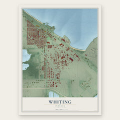
- Whiting 12" x 18" / Archival Matte Print $39.99
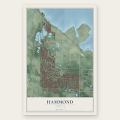
- Hammond 12" x 18" / Archival Matte Print $39.99
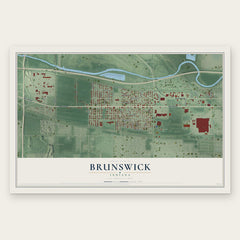
- Brunswick 12" x 18" / Archival Matte Print $39.99
More maps nearby: Ambridge Mann, Tolleston, Black Oak, Gary and Highland.
The art of mapping a place
How This Map Was Made
Real places. Remarkable detail. Discover the layers that turn geographic data into a map of home.

The view from above
Aerial imagery reveals the character of the land: woodland, open fields, and the patterns of a place.

The shape of the land
Elevation data brings hills, valleys, and subtle changes in the landscape into view.

The details of home
Roads, waterways, and building footprints come together to make the map feel unmistakably local.

Geography becomes art
Considered color, shading, and typography bring the layers together in a map made for your wall.


Process illustrated with Mendon, Massachusetts. Aerial imagery: USDA NAIP. Terrain: USGS 3D Elevation Program. Map details and finished artwork: KNOWOL.
The Details
About This Print
Choose an archival matte print, or a black or white Ayous wood frame. The archival matte print is unframed.
Select your size and finish above to see the matching product image and price.
Materials & Craftsmanship
A contemporary map with the character of a classic atlas, printed on archival matte paper. Optional frames are made from Ayous wood.
Your printed map does not include the watermark shown in the full-map preview.
Shipping & Delivery
Free shipping within the United States. Every print is made to order in the USA.
Buying a gift? Add a note in your cart and we'll include it. We never put prices in the package.
Prints ship within 2 to 3 business days. Allow 7 to 10 days total from ordering for delivery. Timing may vary during holidays or periods of high order volume.
Read our shipping policy.
Returns and damaged prints
Each print is made to order. Change-of-mind refunds are not available after production.
If your print arrives damaged, misprinted or incorrect, contact support@knowol.com within 30 days of receiving it. Include your order number, photos and a description of the issue.
Read our full refund and replacement policy. For questions about your order, email support@knowol.com.