
Search for another town





Free U.S. delivery 7 to 10 days after you order
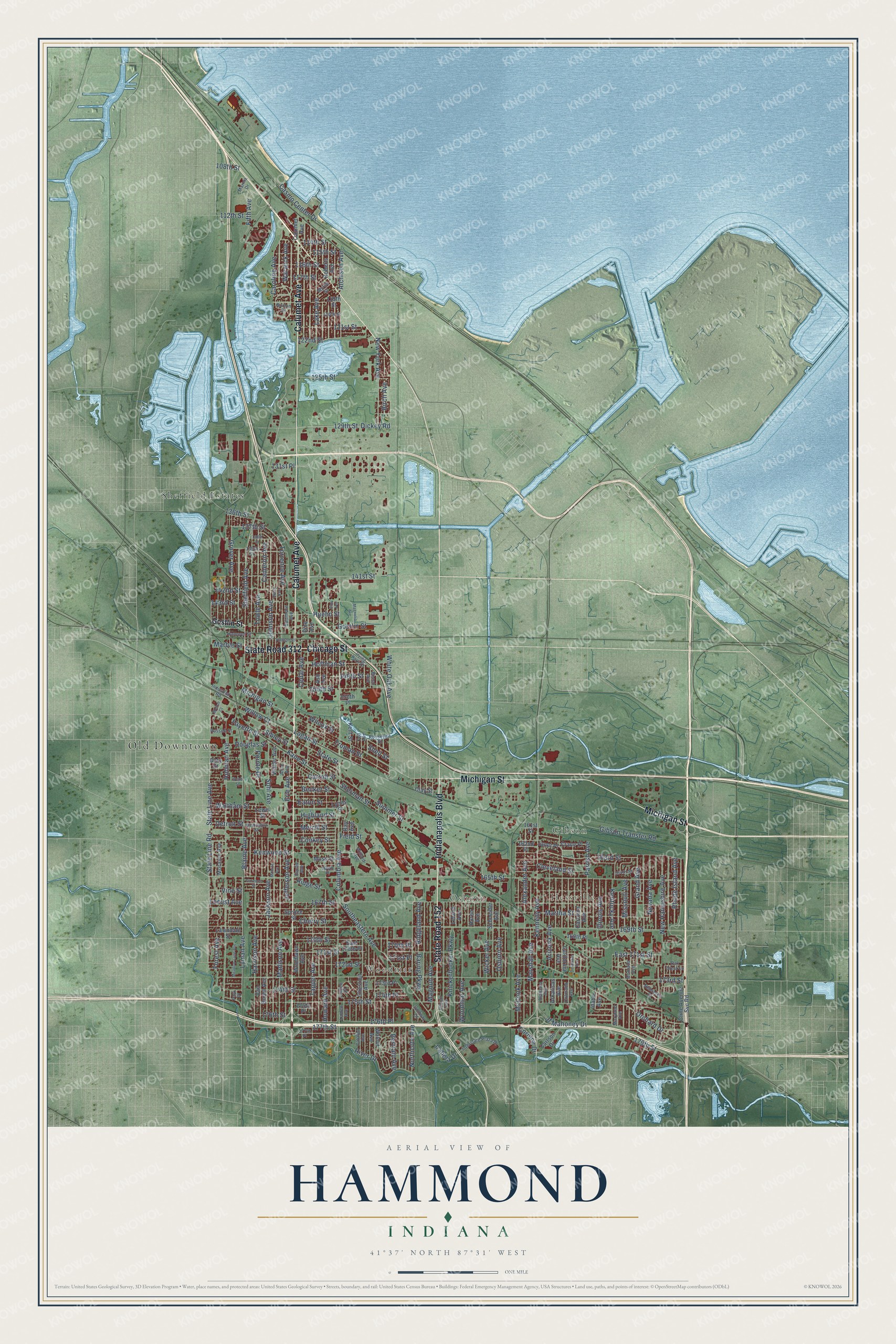
Hammond, Indiana Map Art
Building by building, with labeled streets and shaded relief.
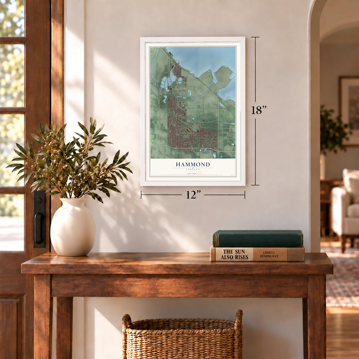
12" x 18" Archival Matte Print
A Map of Home. A Work of Art.
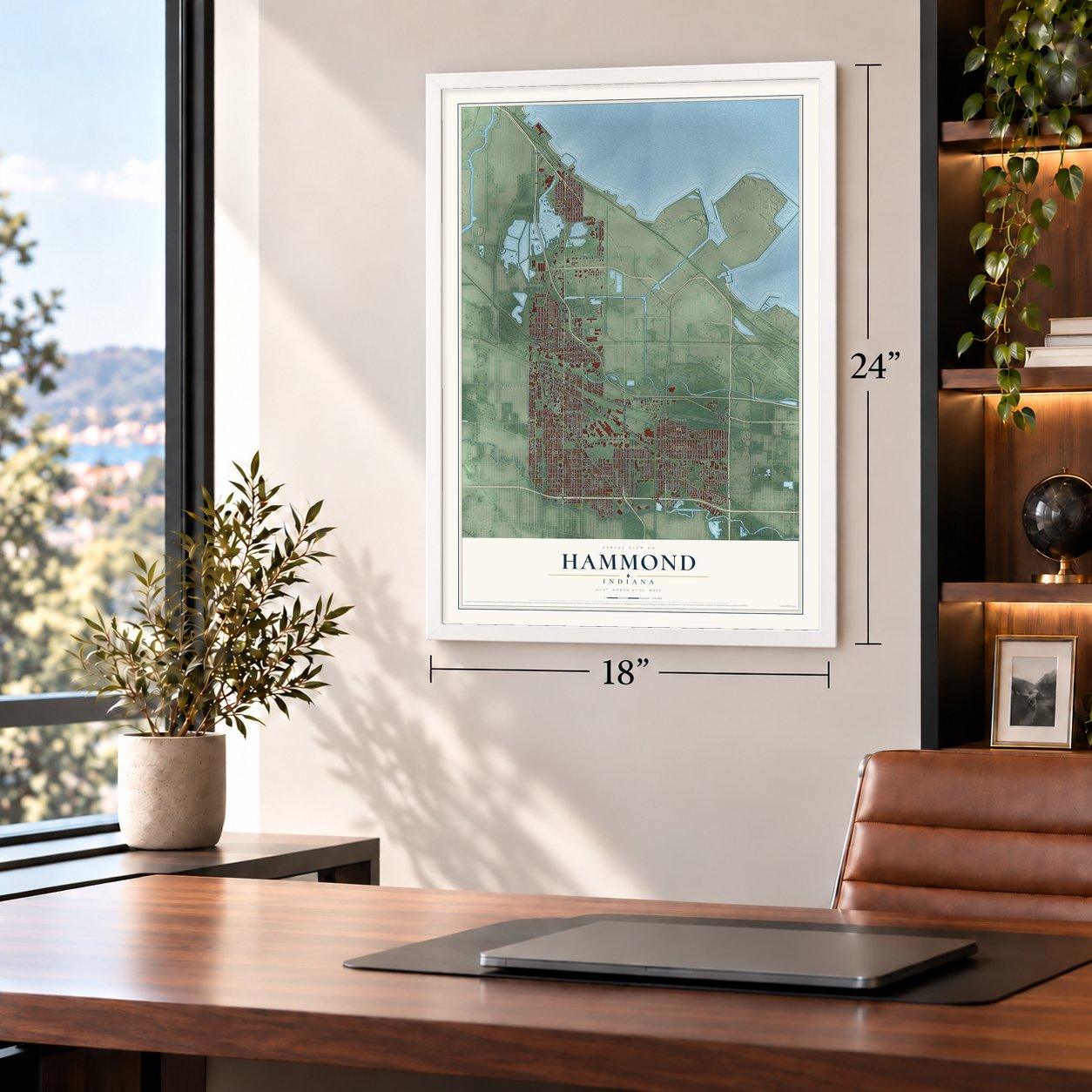
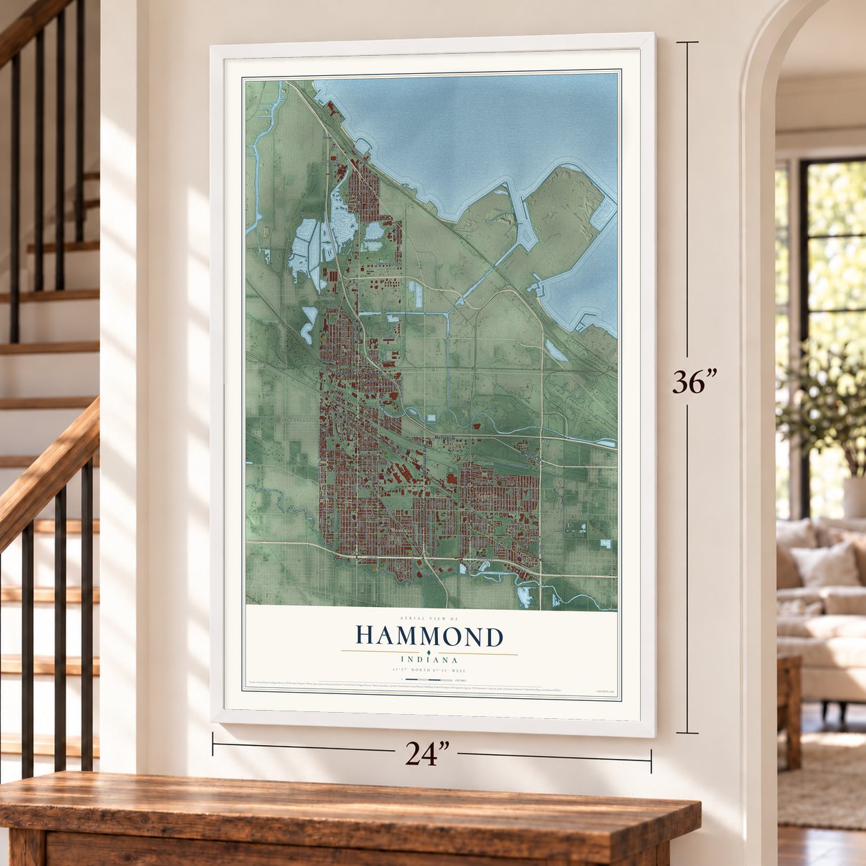
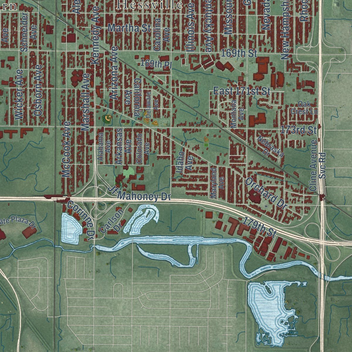
Explore Hammond, Indiana from a whole new perspective. Created using aerial imagery and detailed geographic data, this map captures Hammond building by building, with labeled streets, familiar landmarks, and shaded topographical relief that highlights the natural contours of the landscape.
Combining modern data with the timeless character of a vintage atlas, this map is just as interesting up close as it is beautiful on the wall. Whether you grew up in Hammond, spent memorable years there, or call it home today, this unique map is a great way to celebrate a place that means something to you. Zoom in on the preview to look for your street, and then order a print to put your memories on the wall.
Three ways to hang it
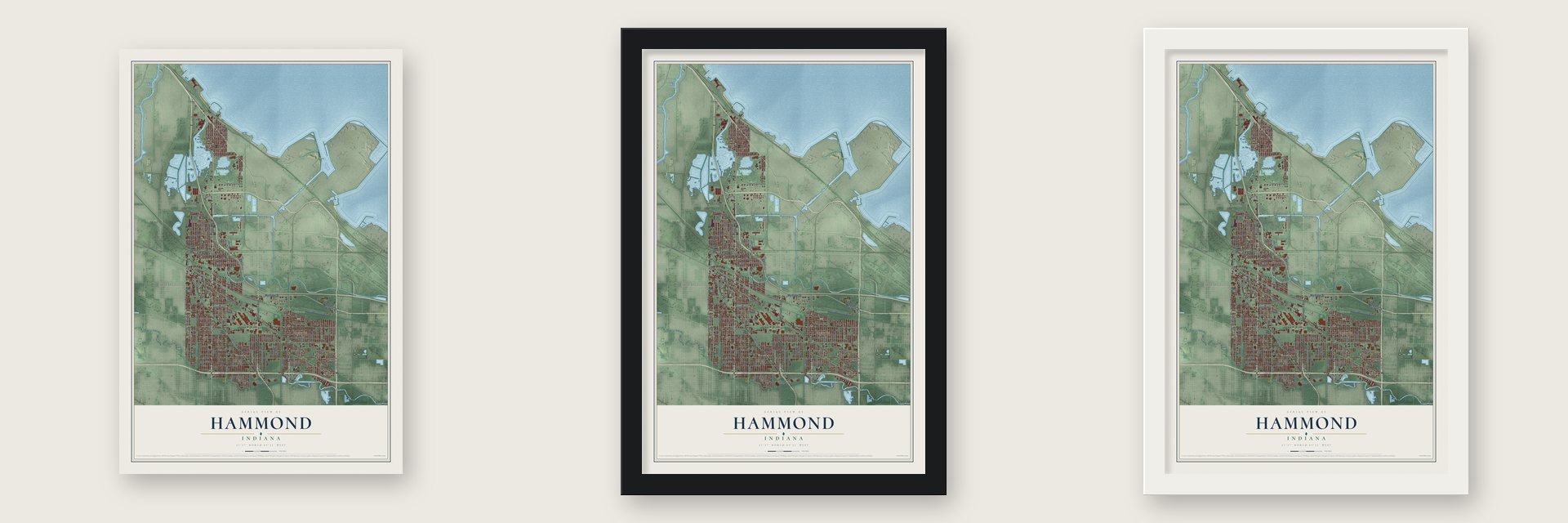
Unframed archival matte, a black wood frame or a white wood frame.
Up close
Geography Worth Displaying
This map was created using accurate cartographic data and authoritative geographic sources, including the U.S. Geological Survey and the Census Bureau. The map brings together terrain, waterways, roads, and building detail. The majority of the streets are labeled, houses are accurately depicted, and the topography is derived from government sources. Combining local data with carefully composed color and shading leads to this beautifully detailed Hammond artwork for your wall.
Rather than simply showing street outlines, we’ve included as many of the street names as we could reasonably fit on the map while keeping their names legible. Zoom in on the high resolution preview to see exactly what’s on the map. We truly set out to create a statement piece for anyone who loves Hammond. So whether it’s for you, or a gift for someone you love, we hope this map of Hammond brings back fond memories.
Read the story behind this map of Hammond, Indiana from 2026.

Find your street
Names on the Hammond map
Every name below is printed on this map. Look for your street, your school, the park where you played, or the pond down the road.
Places and landmarks6
- Old Downtown
- Hessville
- Woodmar
- Osborn
- Gibson
- Sheffield Estates
Streets and roads217
- Calumet Avenue
- Indianapolis Boulevard
- State Road 152
- Michigan Street
- Chicago Street
- State Road 312
- State Street
- Sheffield Avenue
- Columbia Avenue
- State Line Avenue
- State Line Road
- 179th Street
- White Oak Avenue
- 177th Street
- Kennedy Avenue
- Jf Mahoney Drive
- Pointe Drive
- 176th Place
- Forest Avenue
- 149th Street
- 150th Street
- 137th Street
- Hohman Avenue
- 165th Street
- 169th Street
- 173rd Street
- 167th Street
- 171st Street
- 175th Street
- Howard Avenue
Show all 217 streets
- Kenwood Street
- Lyman Avenue
- Summer Street
- Harrison Avenue
- Tapper Avenue
- 174th Street
- 172nd Street
- 170th Street
- McCook Avenue
- Madison Avenue
- Jackson Avenue
- Knickerbocker Parkway
- Parrish Avenue
- Alexander Avenue
- Northcote Avenue
- Grand Avenue
- 141st Street
- Vine Street
- Cleveland Street
- Martha Street
- Torrence Avenue
- Orchard Drive
- River Drive
- Sohl Avenue
- Highland Street
- Southeastern Avenue
- Sibley Street
- Hoffman Street
- Gostlin Street
- New Hampshire Avenue
- Birch Avenue
- Gibson Transfer Road
- Carroll Street
- Huehn Street
- 129th Street
- Marshall Avenue
- Arizona Avenue
- Woodmar Avenue
- Towle Avenue
- Magoun Avenue
- Jefferson Avenue
- Lake Avenue
- Willow Court
- Johnson Avenue
- Kentucky Avenue
- Conkey Street
- Logan Street
- Missouri Avenue
- Cameron Avenue
- Rhode Island Avenue
- Cherry Street
- Osborn Avenue
- 143rd Street
- Casino Center Drive
- Baring Parkway
- Grover Avenue
- 163rd Street
- Dickey Road
- 170th Place
- Nevada Avenue
- Truman Street
- 174th Place
- New York Avenue
- Atchison Avenue
- 125th Street
- 142nd Street
- 171st Place
- 176th Street
- Fayette Street
- Warwick Avenue
- Locust Avenue
- Wicker Avenue
- 115th Street
- Field Street
- Eaton Street
- Sherman Street
- Bertram Avenue
- Cedar Avenue
- 121st Street
- Kane Street
- 116th Street
- Becker Street
- Waltham Street
- Blaine Avenue
- Detroit Street
- Wilcox Street
- Caroline Avenue
- 117th Street
- Fifth Avenue
- Merrill Street
- Ridgeland Avenue
- Illinois Avenue
- East 171st Street
- 112th Street
- 136th Street
- 122nd Street
- Erie Avenue
- Douglas Street
- 114th Street
- Corinne Drive
- Ridge Street
- Marble Street
- Cabela Drive
- 131st Place
- Shell Street
- 108th Street
- Carlson Drive
- Chestnut Avenue
- Van Buren Avenue
- California Avenue
- Walnut Avenue
- Arkansas Avenue
- Spruce Street
- Cline Avenue Svc Road
- 173rd Place
- Ash Avenue
- Idaho Avenue
- Carolina Avenue
- Schneider Avenue
- Pine Avenue
- 169th Place
- 119th Street
- 175th Place
- Woodlawn Avenue
- Lyons Street
- East 170th Place
- Roberts Avenue
- Kent Street
- Moraine Avenue
- Lawndale Street
- Doty Street
- Walter Avenue
- Lewis Street
- Crane Place
- Huron Avenue
- Leland Avenue
- Janet Place
- 162nd Place
- Moss Street
- Clay Street
- Ray Avenue
- 161st Street
- 150th Place
- 177th Place
- Olcott Avenue
- Beech Avenue
- Baltimore Avenue
- Maryland Avenue
- Montana Avenue
- Alabama Avenue
- Colorado Avenue
- Catalpa Avenue
- 164th Place
- 139th Street
- Roosevelt Street
- Linden Avenue
- 120th Street
- Interstate Plaza Drive
- Irving Park Drive
- Russell Street
- 164th Street
- Tell Avenue
- Willard Avenue
- Euclid Avenue
- Hanover Street
- Alice Avenue
- Industrial Road
- Park Place
- Nebraska Drive
- Linden Place
- Burton Court
- Oak Crest Lane
- Myrtle Street
- Golfway Court
- Marina Drive
- Monroe Avenue
- Henry Avenue
- Delaware Avenue
- Magnolia Avenue
- Hudson Street
- Elm Avenue
- Meadow Lane Avenue
- Webb Street
- 138th Street
- Florence Street
- Washington Street
- Morton Court
Names are listed as they appear on the printed map. Zoom into the product photos to find them.
About Hammond, Indiana
Hammond is a city of 77,879 people in Lake County, at the southern end of Lake Michigan, and no other Indiana city shares a border with Chicago. German farmers looking for land and a fresh start came around 1847 and settled between the Grand and Little Calumet Rivers. In 1869 the George H. Hammond Company opened a meat-packing plant here, drawn by the handy location and plenty of fresh lake water. The town was incorporated on April 21, 1884, and took the name of the Detroit butcher behind the plant.
Industry kept Hammond growing for decades. Trolleys of the Hammond Whiting and East Chicago Electric Railway carried riders from 1893 to 1940, and during World War II, M4 Sherman tanks rolled out of the city's Pullman Standard Car Company plant. The 1960 census counted a record 111,698 residents. Like the rest of the Rust Belt, Hammond lost people in the 1970s and 1980s, but light manufacturing, rail yards, warehousing, banking, insurance and retail kept its economy more varied than the steel towns next door.
- Fresh meat on cold railsGeorge Henry Hammond patented a refrigerator car design in 1868 and pioneered shipping fresh meat in refrigerated railcars. His company's meat sales reached $1 million in 1873 and nearly $2 million in 1875. By the mid-1880s it owned 800 refrigerator cars and slaughtered more than 100,000 cattle a year. Hammond died in 1886, and the firm then faded. Around the turn of the century the big Chicago packers bought it and merged it into their National Packing Co.
- A charter member of the NFLThe Hammond Pros were among the country's earliest professional football teams. They helped found the American Professional Football Association in 1920 and remained when it was renamed the National Football League in 1922. Of the league's nine Black players in those years, six played for the Pros, and coach Fritz Pollard was the NFL's first Black head coach. The Pros never played a home game in Hammond, and the team folded in 1924 when the league cut its smaller franchises.
- Downtown department storesShoppers once crowded State Street and Hohman Avenue, where the biggest stores were E.C. Minas and Goldblatt's. The Minas store went up in 1894 and stayed open until August 1984. Goldblatt's, the Chicago retailer, bought its building in 1931 and ran it until bankruptcy closed it in 1982. On the south side, Victor Gruen designed the Woodmar Mall, which opened in 1954 with a Carson Pirie Scott store as its anchor.
Keep exploring Indiana
Hammond is one of 1,023 Indiana towns we've mapped. Every dot on the map is a print of its own.
The search covers every state, Indiana first.
Near Hammond
Order 2 or more town maps and save 10%. Shown in the size and finish you picked above, so they hang as a set.
- East Chicago 12" x 18" / Archival Matte Print $39.99
- Whiting 12" x 18" / Archival Matte Print $39.99
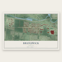
- Brunswick 12" x 18" / Archival Matte Print $39.99
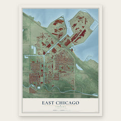
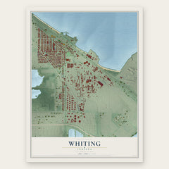
More maps nearby: Munster, Highland, Black Oak, Tolleston and Ambridge Mann.
The art of mapping a place
How This Map Was Made
Real places. Remarkable detail. Discover the layers that turn geographic data into a map of home.

The view from above
Aerial imagery reveals the character of the land: woodland, open fields, and the patterns of a place.

The shape of the land
Elevation data brings hills, valleys, and subtle changes in the landscape into view.

The details of home
Roads, waterways, and building footprints come together to make the map feel unmistakably local.

Geography becomes art
Considered color, shading, and typography bring the layers together in a map made for your wall.


Process illustrated with Mendon, Massachusetts. Aerial imagery: USDA NAIP. Terrain: USGS 3D Elevation Program. Map details and finished artwork: KNOWOL.
The Details
About This Print
Choose an archival matte print, or a black or white Ayous wood frame. The archival matte print is unframed.
Select your size and finish above to see the matching product image and price.
Materials & Craftsmanship
A contemporary map with the character of a classic atlas, printed on archival matte paper. Optional frames are made from Ayous wood.
Your printed map does not include the watermark shown in the full-map preview.
Shipping & Delivery
Free shipping within the United States. Every print is made to order in the USA.
Buying a gift? Add a note in your cart and we'll include it. We never put prices in the package.
Prints ship within 2 to 3 business days. Allow 7 to 10 days total from ordering for delivery. Timing may vary during holidays or periods of high order volume.
Read our shipping policy.
Returns and damaged prints
Each print is made to order. Change-of-mind refunds are not available after production.
If your print arrives damaged, misprinted or incorrect, contact support@knowol.com within 30 days of receiving it. Include your order number, photos and a description of the issue.
Read our full refund and replacement policy. For questions about your order, email support@knowol.com.