
Search for another town
Free U.S. delivery 7 to 10 days after you order
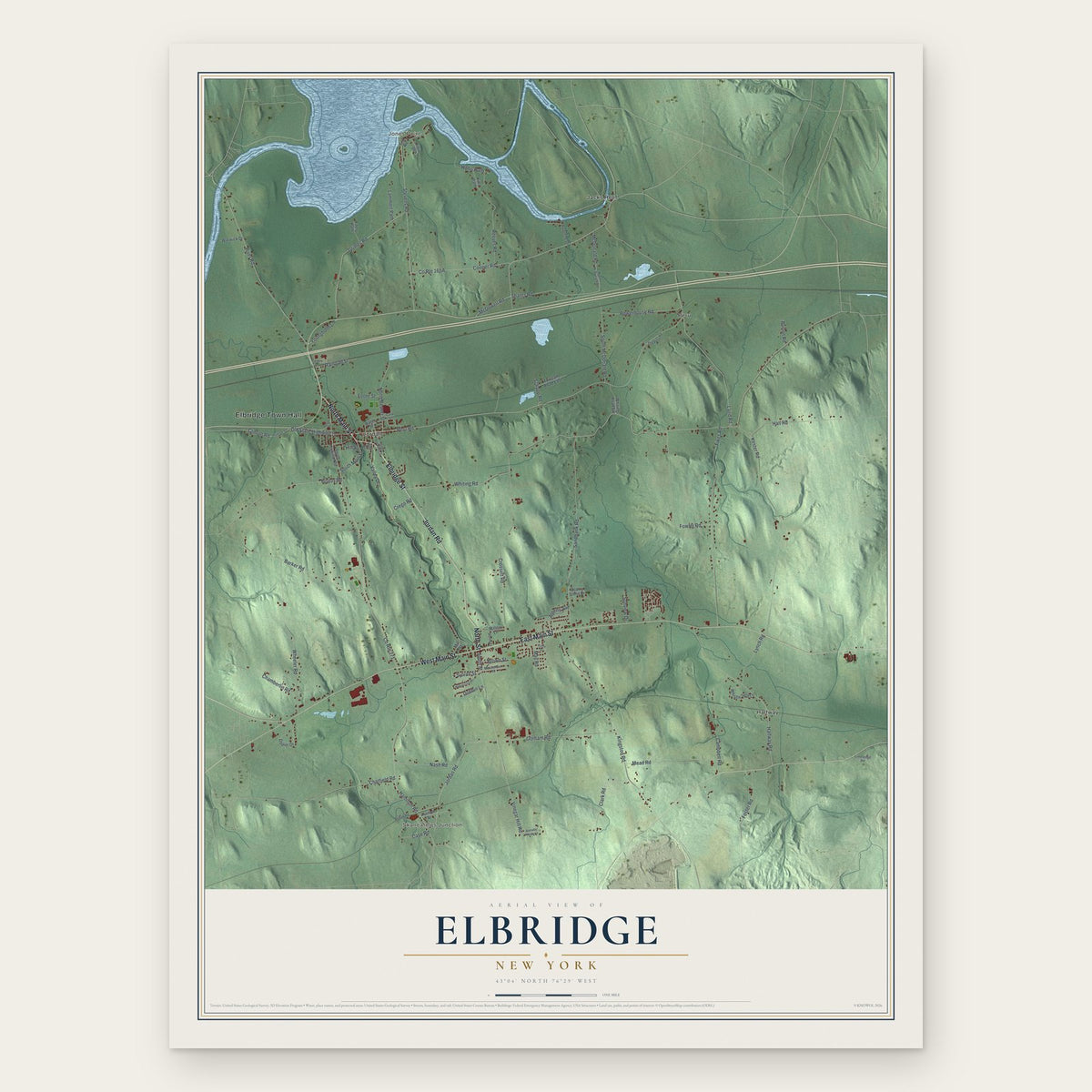
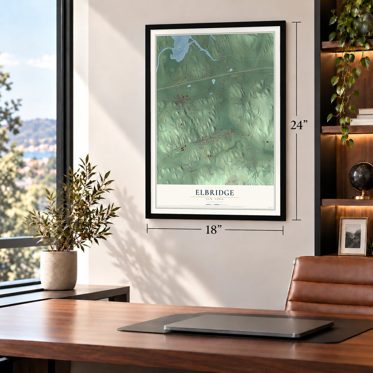
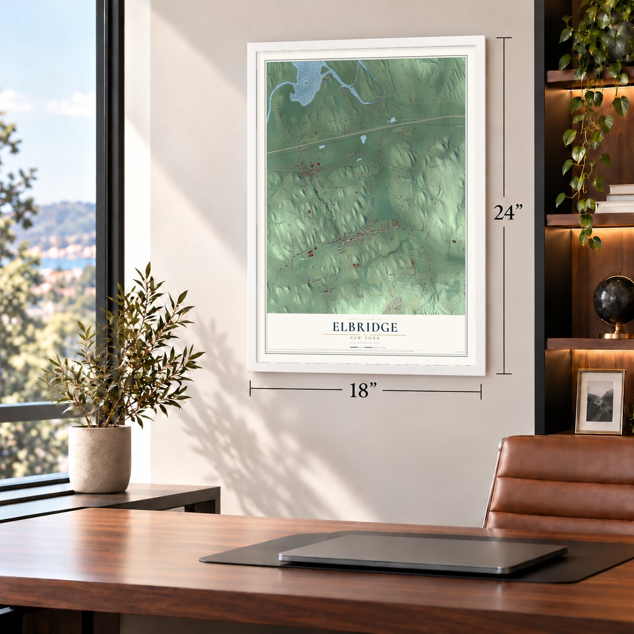
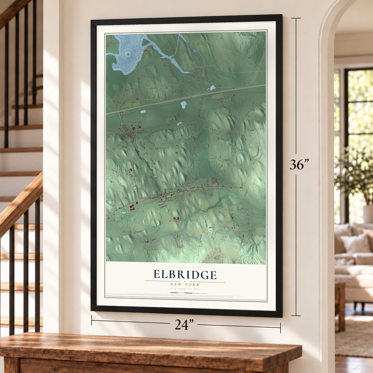
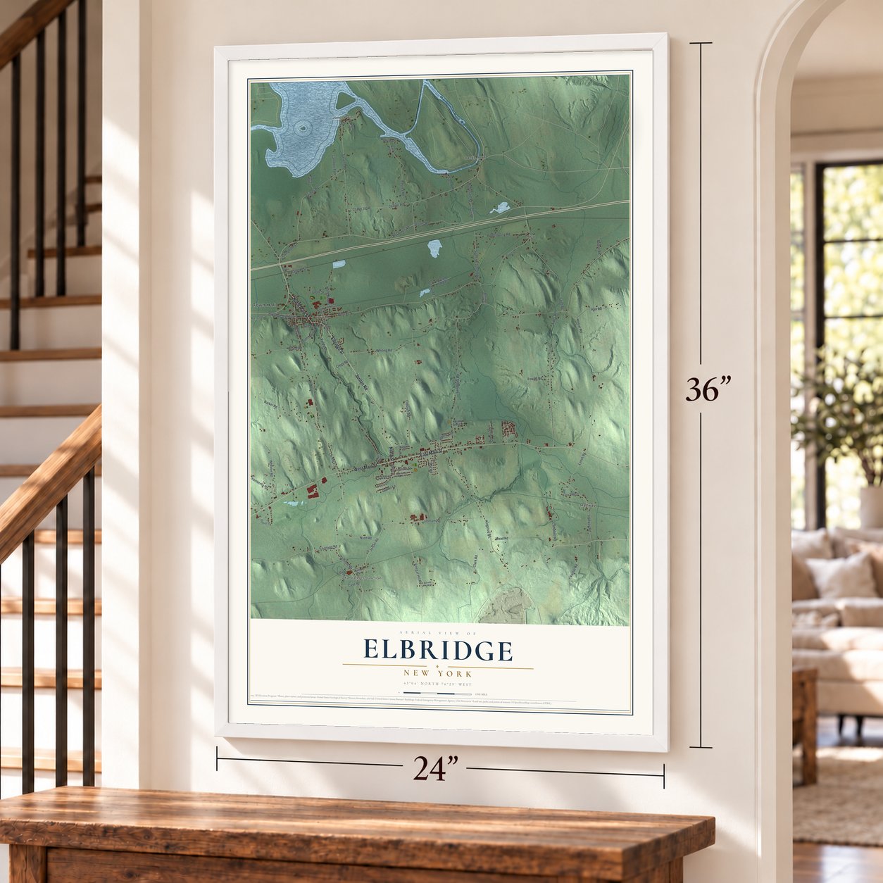
Elbridge, New York Map Art
Building by building, with labeled streets and shaded relief.
12" x 18" Archival Matte Print
A Map of Home. A Work of Art.
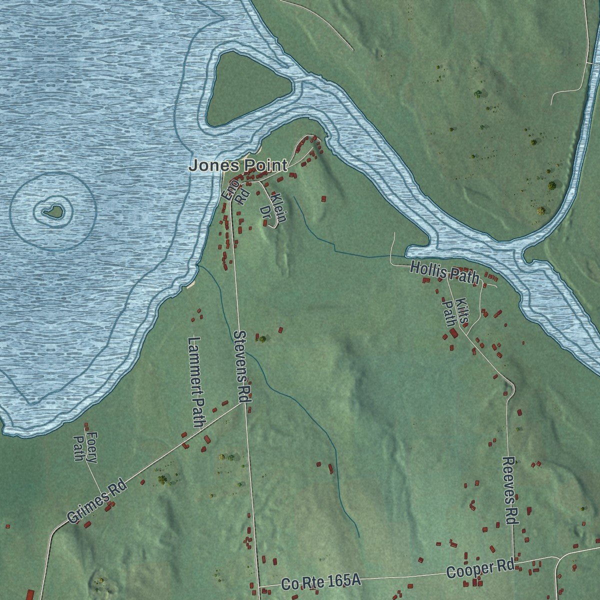
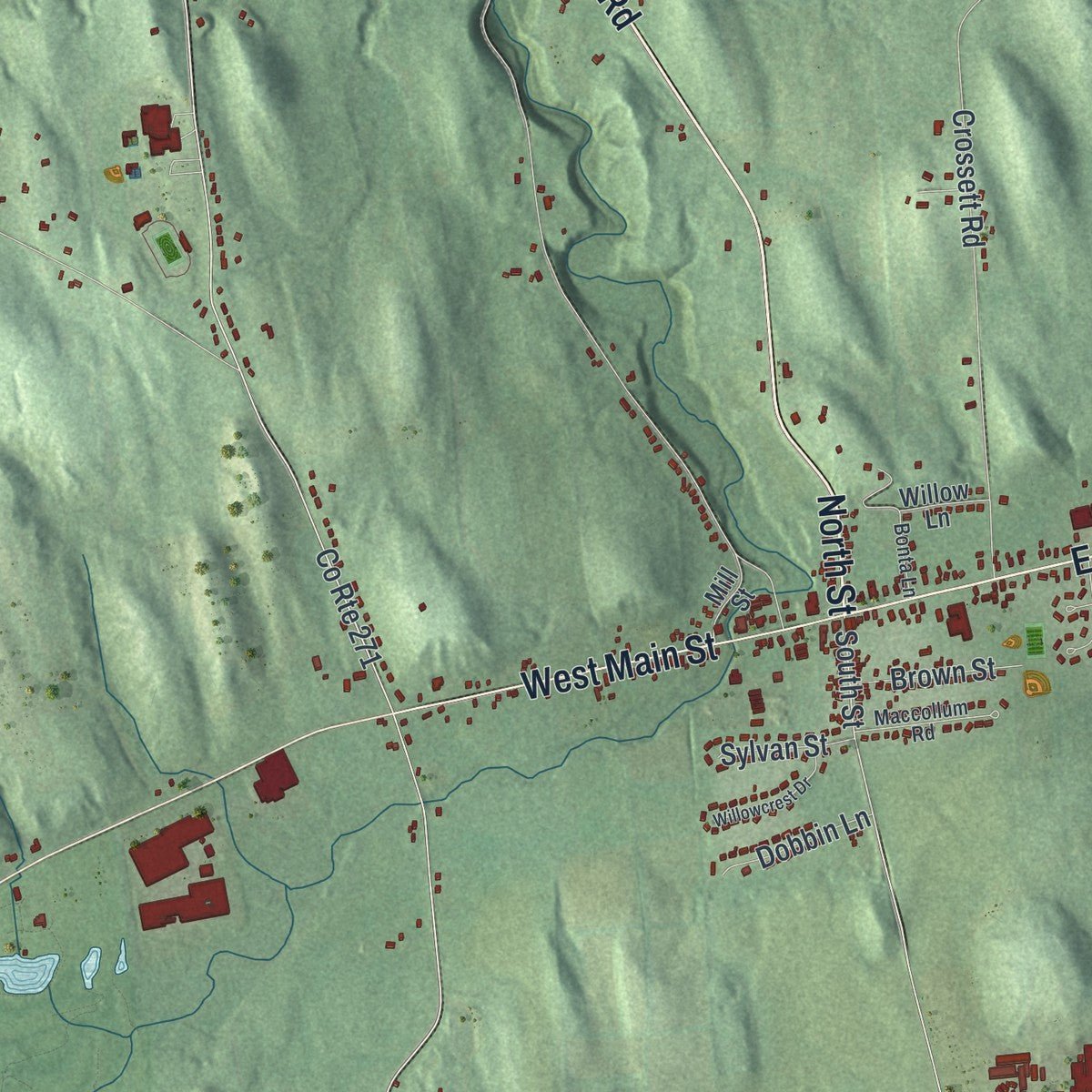
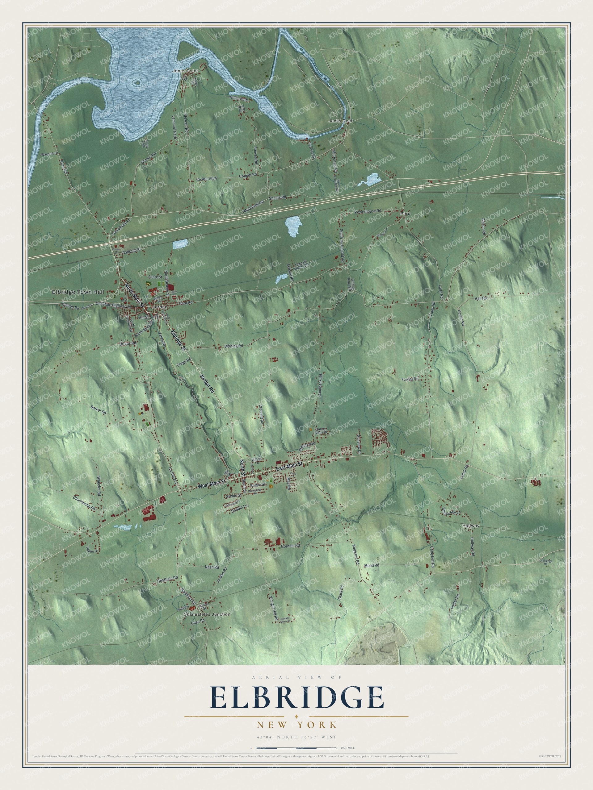
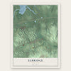
Explore Elbridge, New York from a whole new perspective. Created using aerial imagery and detailed geographic data, this map captures Elbridge building by building, with labeled streets, familiar landmarks, and shaded topographical relief that highlights the natural contours of the landscape.
Combining modern data with the timeless character of a vintage atlas, this map is just as interesting up close as it is beautiful on the wall. Whether you grew up in Elbridge, spent memorable years there, or call it home today, this unique map is a great way to celebrate a place that means something to you. Zoom in on the preview to look for your street, and then order a print to put your memories on the wall.
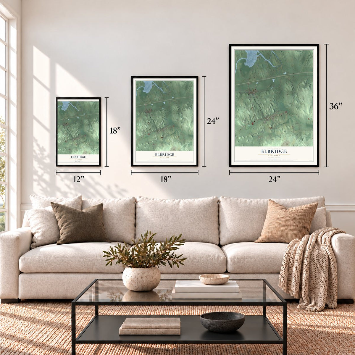
Three ways to hang it
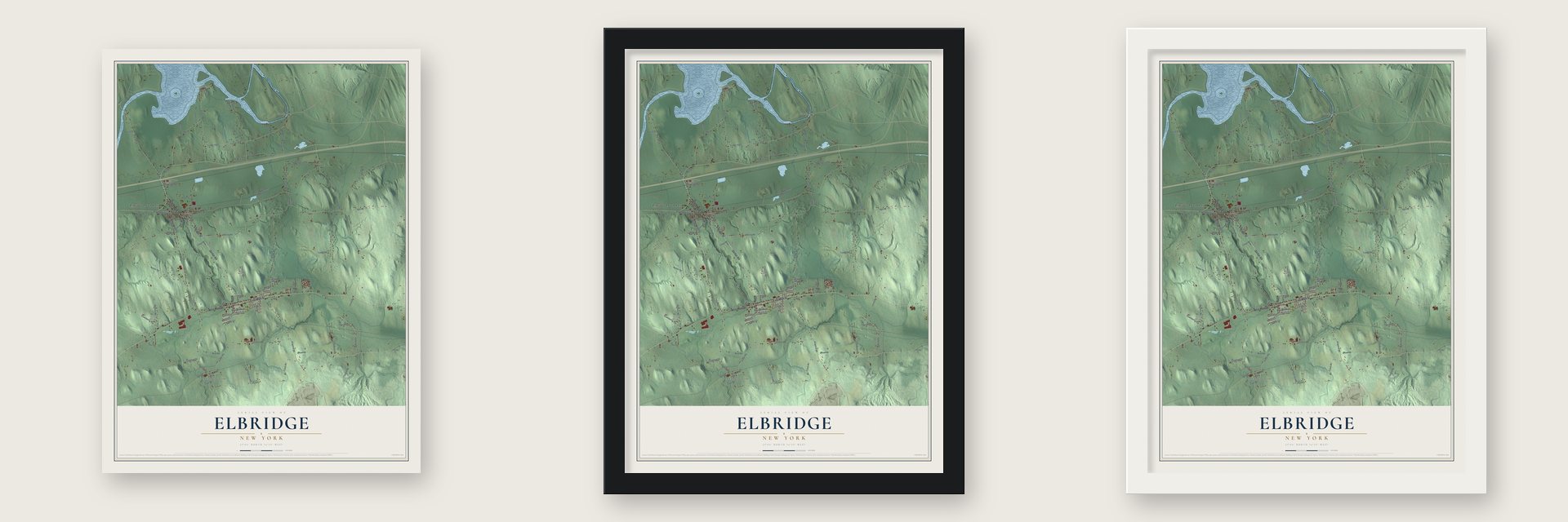
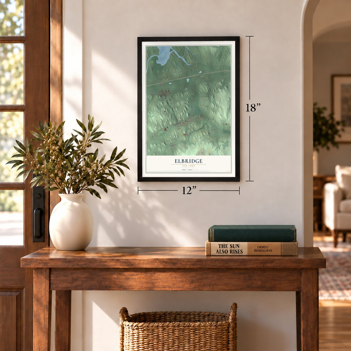
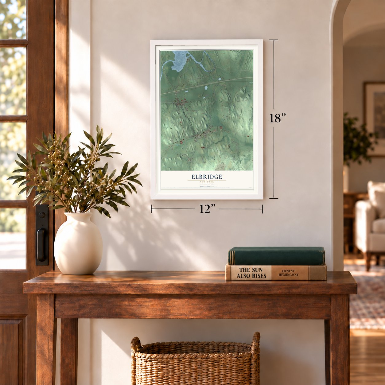
Unframed archival matte, a black wood frame or a white wood frame.
Up close
Geography Worth Displaying
This map was created using accurate cartographic data and authoritative geographic sources, including the U.S. Geological Survey (USGS) and FEMA. The map brings together terrain, waterways, roads, and building detail. The majority of the streets are labeled, houses are accurately depicted, and the topography is derived from government sources. Combining local data with carefully composed color and shading leads to this beautifully detailed Elbridge artwork for your wall.
Rather than simply showing street outlines, we’ve included as many of the street names as we could reasonably fit on the map while keeping their names legible. Zoom in on the high resolution preview to see exactly what’s on the map. We truly set out to create a statement piece for anyone who loves Elbridge. So whether it’s for you, or a gift for someone you love, we hope this map of Elbridge brings back fond memories.
Explore the full map of Elbridge, New York and read about the local places it shows.
Find your street
Names on the Elbridge map
Every name below is printed on this map. Look for your street, your school, the park where you played, or the pond down the road.
Places and landmarks7
- Elbridge Town Hall
- Jones Point
- Skaneateles Junction
- Halfway
- Jacks Reef
- Jordan
- Peru
Streets and roads95
- North Main Street
- Elbridge Street
- East Main Street
- Jordan Road
- North Street
- West Main Street
- Old State Highway 31
- Brutus Road
- McDowell Road
- South Street
- County Route 271
- Hamilton Road
- Shants Road
- River Road
- North Beaver Street
- Youngholm Lane
- Schapp Road
- Whiting Road
- Peru Road
- Laird Road
- Valley Drive
- Kingston Road
- Kester Road
- Fikes Road
- Sandbank Road
- Crossett Road
- Halfway Road
- Stevens Road
- Wheeler Road
- Chatfield Road
Show all 95 streets
- Barker Road
- Grimes Road
- Fowler Road
- Gorham Road
- Campbell Road
- Hall Road
- Vinegar Hill Road
- Cooper Road
- Mead Road
- Reeves Road
- Powerhouse Road
- Clark Road
- Clinton Road
- South McDonald Road
- McDonald Road
- Hollis Path
- Nash Road
- Foster Road
- Chamberlin Road
- Lynch Road
- Railroad Street
- South Main Street
- Sunview Drive
- Case Road
- Lammert Path
- Brown Street
- Foote Street
- Crego Road
- Dobbin Lane
- Athens Avenue
- Sylvan Street
- Burton Road
- May Road
- Hill Street
- South Hamilton Street
- Towpath Road East
- Dodier Drive
- Hartlot Street
- Whistle Stop Lane
- Rayrene Drive
- Eno Road
- Whiting Road Extension
- Foery Path
- Warwick Drive
- Klein Drive
- Water Street
- Mill Street
- Kilts Path
- Willow Lane
- Quarry Stone Drive
- Vale Street
- Clinton Street
- North McDonald Road
- Maccollum Road
- Rodak Road
- Old Peru Road
- Limeledge Road
- Bonta Lane
- Willowcrest Drive
- Carmer Road
- Circle Drive
- South Skaneatles Street
- Barnaby Meadows
- Warner Road
- Canal Street
Names are listed as they appear on the printed map. Zoom into the product photos to find them.
About Elbridge, New York
Elbridge is a town of 5,476 people in Onondaga County, on the county's western edge west of Syracuse. After the Revolution its land belonged to Military Township No. 5, called Camillus, which was handed out to veterans instead of pay for their service. Government surveyor Josiah Buck came to map the area in 1791. Two years later he brought his family back and became the first Anglo-European settler, and Captain William Stevens and his family soon followed.
Town historians think Stevens probably chose the name, honoring Elbridge Gerry, the Massachusetts governor who had joined him in the Boston Tea Party raid of 1773. Elbridge split from Camillus and became a town of its own in 1829. Its two villages grew up separately: Jordan was incorporated in 1835 and the Village of Elbridge in 1848.
“a densely wooded wilderness, frequented by Indians and inhabited by bears, wolves and other beasts of the forest and could not have presented an appearance other than of gloomy waste.”
- Onondaga towns and HiawathaLong before Buck arrived, the Onondaga, the "People of the Hill" of the Iroquois, kept several fortified settlements here. The largest stood on the Seneca River at the place now called Jack's Reef. Some legends say Cross Lake, along the town's northern edge, was the home of the historical Hiawatha.
- The first electric car starterThe Village of Elbridge grew on an old Indian trail that later became Route 5, with Skaneateles Creek and Carpenter's Brook turning its mill wheels. Chair factories and the Amphion Piano Player Company worked along the creek, and the Elbridge Electrical Manufacturing Company built electric motors and the first electric starter for automobiles. The village was at its most prosperous between 1850 and 1870.
- Munro Academy, 1835Nathan Munro opened the Munro Academy in 1835, and in 1854 it became the Munro Collegiate Institute. In 1856 an architecture journal praised its Gothic-style building and the trees around it. Elbridge Elementary School now stands on the same ground.
- Jordan and the Erie CanalJordan, the larger of the two villages, became a busy place for trade and manufacturing once the Erie Canal was cut straight through it, and later the main railroad across the state ran through as well. When the canal closed in 1912 and trucks took business from the railroads, the village declined. What remains of the Jordan aqueduct is now a park downtown.
- Tessy Plastics since 1973Henry Beck founded Tessy Plastics in 1973, and the injection molding company still has its headquarters in the town. About 500 of its 1,000 workers are at the Elbridge plant, which grew by 60,000 square feet in 2003 and another 40,000 square feet in 2004 as its medical work expanded.
Keep exploring New York
Elbridge is one of 2,165 New York towns we've mapped. Every dot on the map is a print of its own.
The search covers every state, New York first.
Near Elbridge
Order 2 or more town maps and save 10%. Shown in the size and finish you picked above, so they hang as a set.
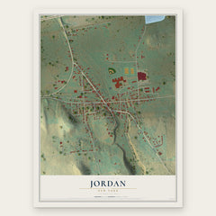
- Jordan 12" x 18" / Archival Matte Print $39.99
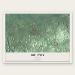
- Brutus 12" x 18" / Archival Matte Print $39.99
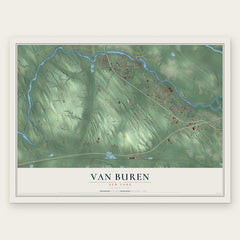
- Van Buren 12" x 18" / Archival Matte Print $39.99
More maps nearby: Camillus, Weedsport, Sennett, Cato and Village of Marcellus.
The art of mapping a place
How This Map Was Made
Real places. Remarkable detail. Discover the layers that turn geographic data into a map of home.

The view from above
Aerial imagery reveals the character of the land: woodland, open fields, and the patterns of a place.

The shape of the land
Elevation data brings hills, valleys, and subtle changes in the landscape into view.

The details of home
Roads, waterways, and building footprints come together to make the map feel unmistakably local.

Geography becomes art
Considered color, shading, and typography bring the layers together in a map made for your wall.


Process illustrated with Mendon, Massachusetts. Aerial imagery: USDA NAIP. Terrain: USGS 3D Elevation Program. Map details and finished artwork: KNOWOL.
The Details
About This Print
Choose an archival matte print, or a black or white Ayous wood frame. The archival matte print is unframed.
Select your size and finish above to see the matching product image and price.
Materials & Craftsmanship
A contemporary map with the character of a classic atlas, printed on archival matte paper. Optional frames are made from Ayous wood.
Your printed map does not include the watermark shown in the full-map preview.
Shipping & Delivery
Free shipping within the United States. Every print is made to order in the USA.
Buying a gift? Add a note in your cart and we'll include it. We never put prices in the package.
Prints ship within 2 to 3 business days. Allow 7 to 10 days total from ordering for delivery. Timing may vary during holidays or periods of high order volume.
Read our shipping policy.
Returns and damaged prints
Each print is made to order. Change-of-mind refunds are not available after production.
If your print arrives damaged, misprinted or incorrect, contact support@knowol.com within 30 days of receiving it. Include your order number, photos and a description of the issue.
Read our full refund and replacement policy. For questions about your order, email support@knowol.com.