
Search for another town

Free U.S. delivery 7 to 10 days after you order
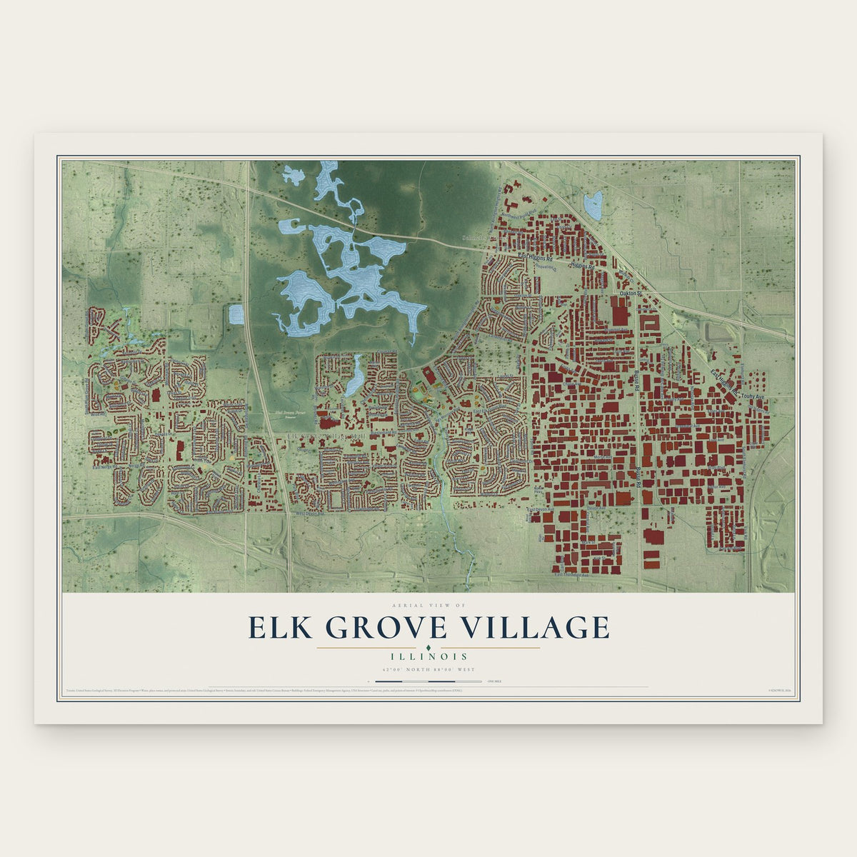
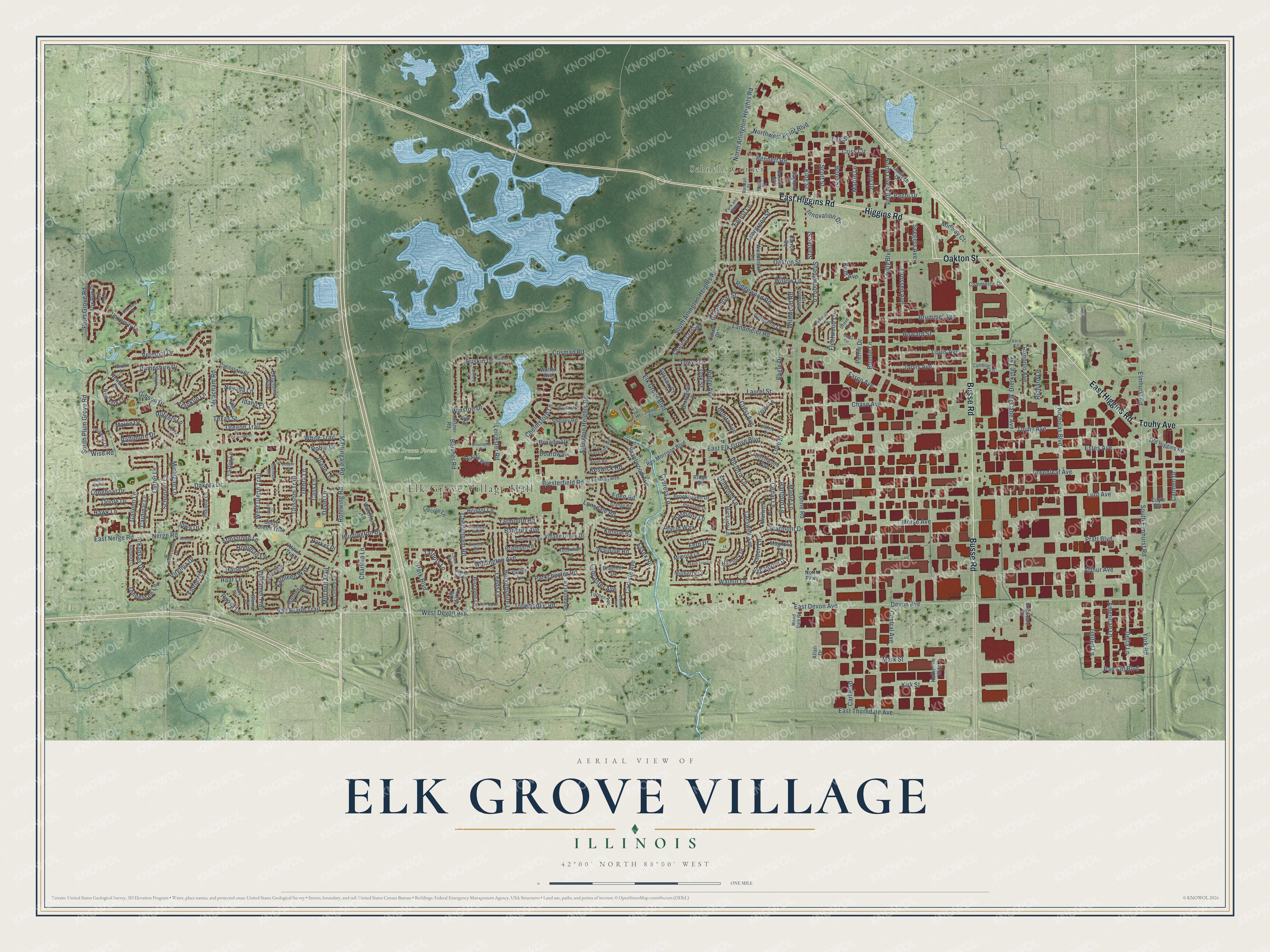
Elk Grove Village, Illinois Map Art
Building by building, with labeled streets and shaded relief.
12" x 18" Archival Matte Print
A Map of Home. A Work of Art.
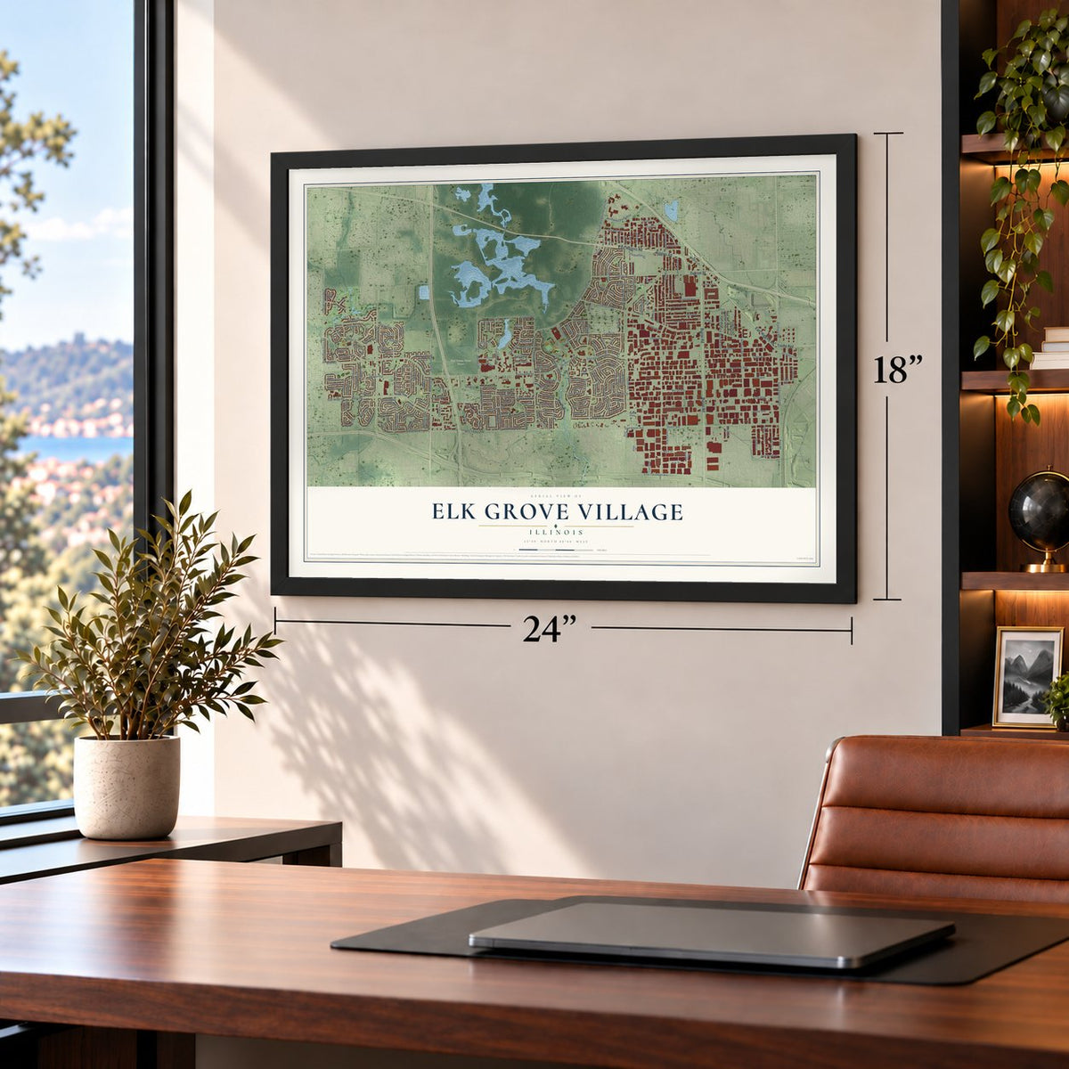
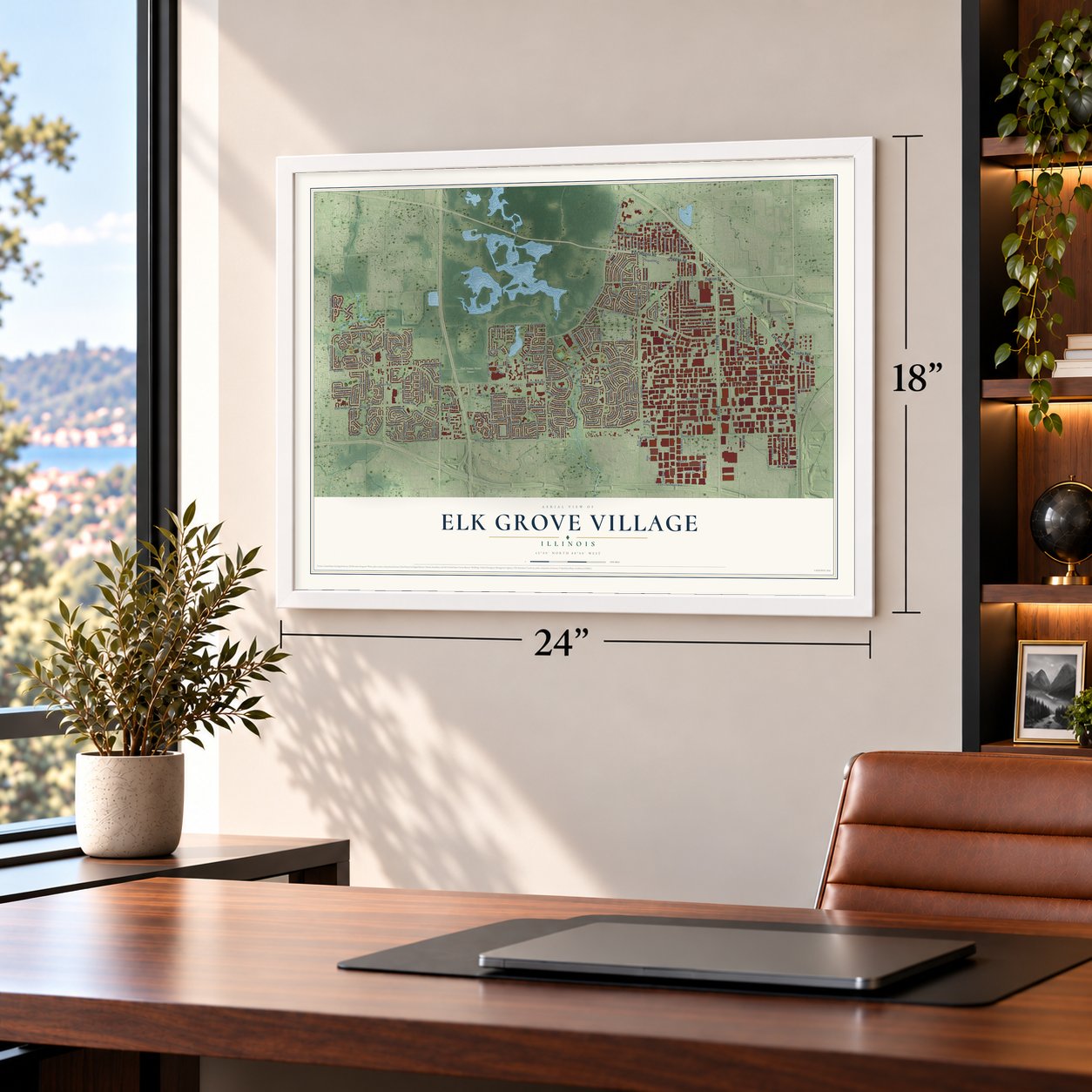
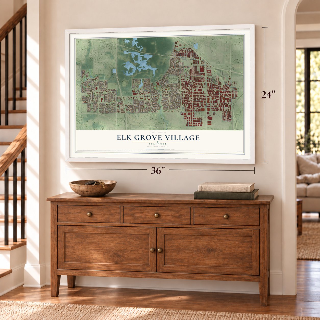
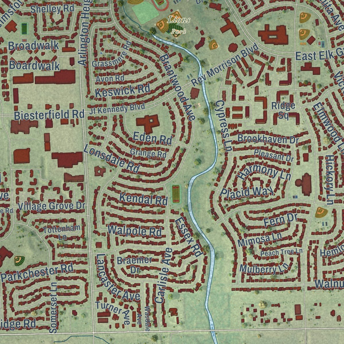
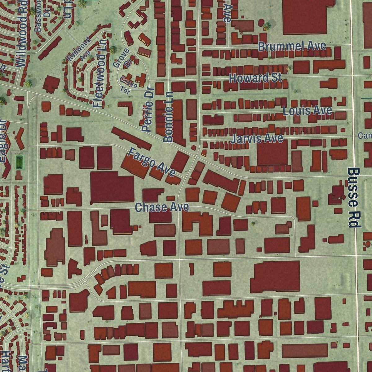
Explore Elk Grove Village, Illinois from a whole new perspective. Created using aerial imagery and detailed geographic data, this map captures Elk Grove Village building by building, with labeled streets, familiar landmarks, and shaded topographical relief that highlights the natural contours of the landscape.
Combining modern data with the timeless character of a vintage atlas, this map is just as interesting up close as it is beautiful on the wall. Whether you grew up in Elk Grove Village, spent memorable years there, or call it home today, this unique map is a great way to celebrate a place that means something to you. Zoom in on the preview to look for your street, and then order a print to put your memories on the wall.
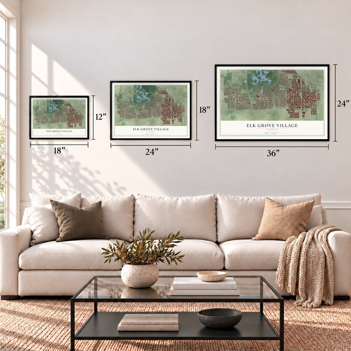
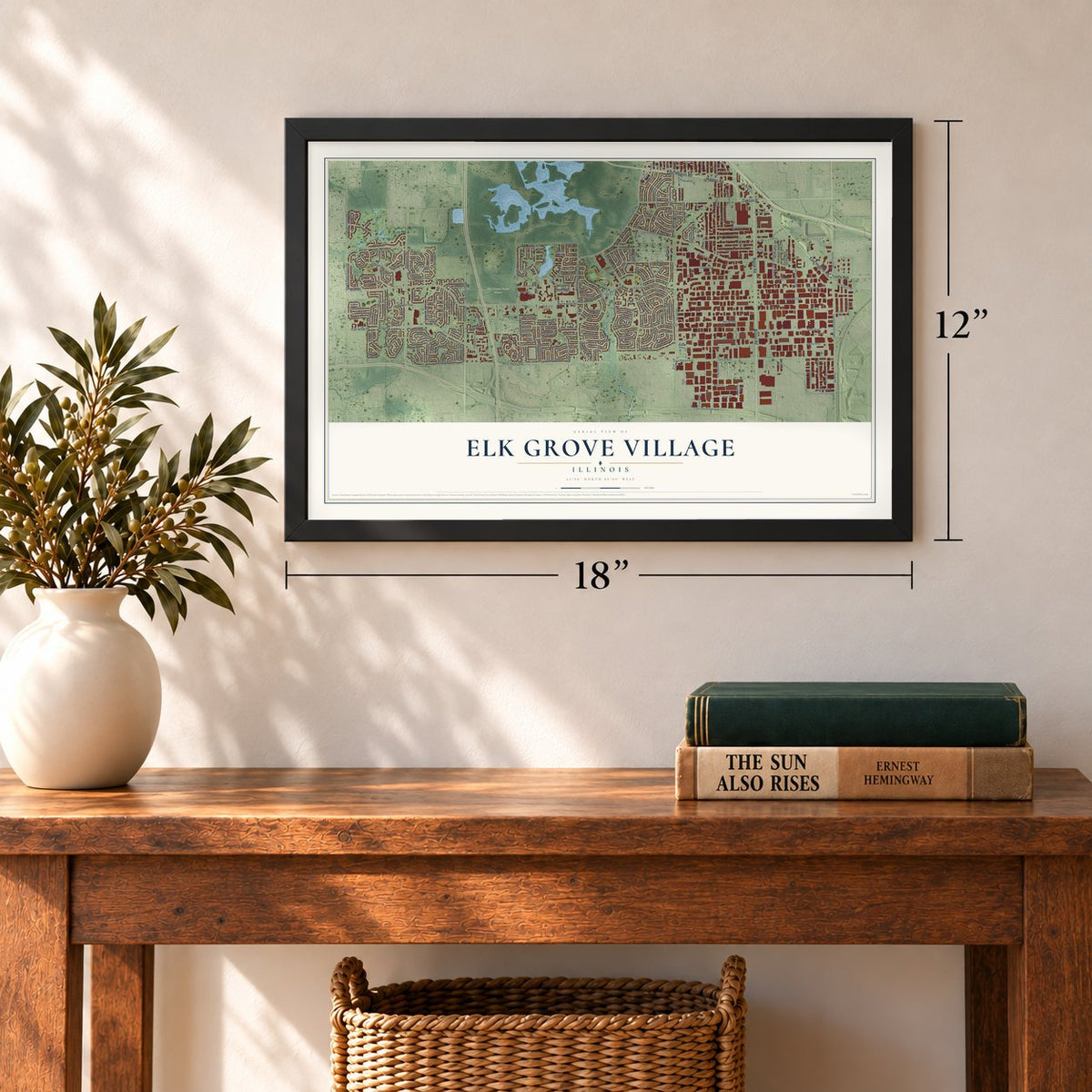
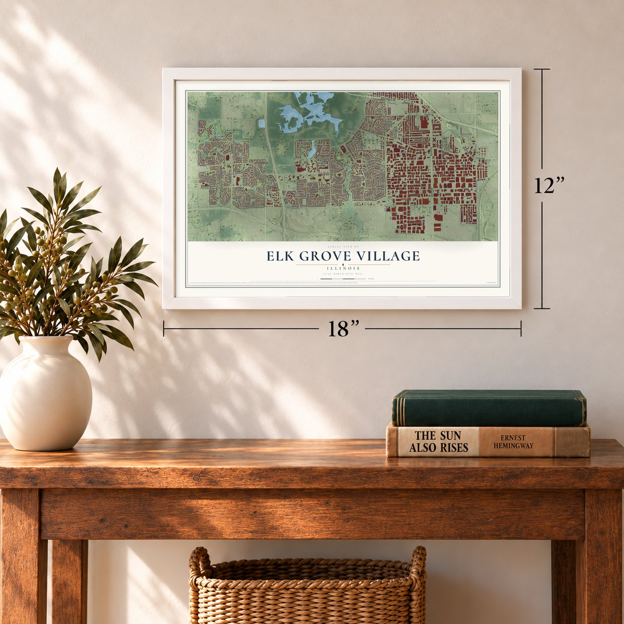
Three ways to hang it
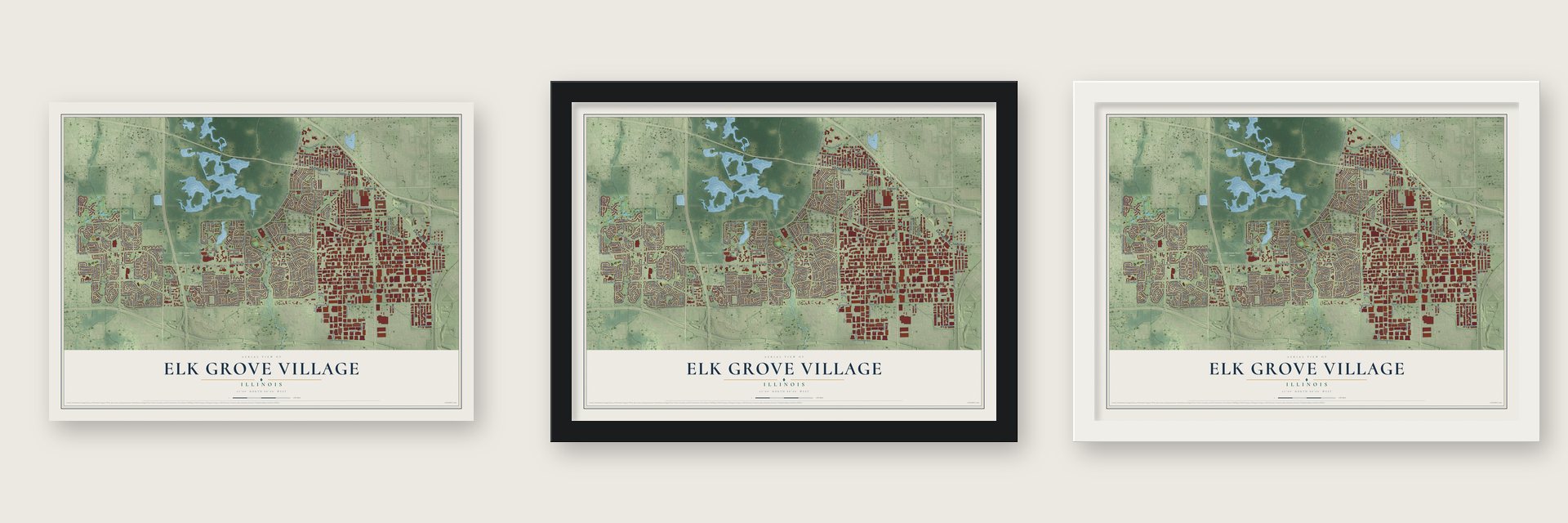
Unframed archival matte, a black wood frame or a white wood frame.
Up close
Geography Worth Displaying
This map was created using accurate cartographic data and authoritative geographic sources, including the U.S. Geological Survey and the Census Bureau. The map brings together terrain, waterways, roads, and building detail. The majority of the streets are labeled, houses are accurately depicted, and the topography is derived from government sources. Combining local data with carefully composed color and shading leads to this beautifully detailed Elk Grove Village artwork for your wall.
Rather than simply showing street outlines, we’ve included as many of the street names as we could reasonably fit on the map while keeping their names legible. Zoom in on the high resolution preview to see exactly what’s on the map. We truly set out to create a statement piece for anyone who loves Elk Grove Village. So whether it’s for you, or a gift for someone you love, we hope this map of Elk Grove Village brings back fond memories.
Read the story behind this map of Elk Grove Village, Illinois from 2026.
Find your street
Names on the Elk Grove Village map
Every name below is printed on this map. Look for your street, your school, the park where you played, or the pond down the road.
Places and landmarks4
- Elk Grove Village Hall
- Schnells Corner
- Lions Park
- Ned Brown Forest Preserve
Streets and roads280
- Oakton Street
- East Higgins Road
- Busse Road
- Touhy Avenue
- Higgins Road
- East Devon Avenue
- West Devon Avenue
- Rohlwing Road
- South Elmhurst Road
- Martingale Road
- York Road
- South Arlington Heights Road
- Devon Avenue
- North Arlington Heights Road
- East Elk Grove Boulevard
- Meacham Road
- Beisner Road
- South Plum Grove Road
- Winston Drive
- Stanley Street
- East Thorndale Avenue
- Innovation Drive
- Cosman Road
- Plum Grove Road
- Van Braun Trail
- Kent Avenue
- Volkamer Trail
- Biesterfield Road
- Arlington Heights Road
- Tonne Road
Show all 280 streets
- Lively Boulevard
- Landmeier Road
- Greenleaf Avenue
- Lunt Avenue
- Pratt Boulevard
- Arthur Avenue
- Estes Avenue
- East Nerge Road
- Nerge Road
- Northwest Point Boulevard
- Ridge Avenue
- Elmhurst Road
- Wellington Avenue
- Nicholas Boulevard
- Brantwood Avenue
- Clearmont Drive
- Morse Avenue
- Walnut Lane
- Maple Lane
- Chase Avenue
- Leicester Road
- Ridgewood Road
- Gibson Drive
- Wildwood Road
- Howard Street
- Crest Avenue
- Cypress Lane
- Cutter Lane
- Mark Street
- Vermont Drive
- Elk Grove Boulevard
- Victoria Lane
- Carswell Avenue
- Brummel Avenue
- Laurel Street
- Shadywood Lane
- Bonnie Lane
- Crossen Avenue
- Huntington Drive
- Lonsdale Road
- Willow Lane
- Essex Road
- Chelmsford Lane
- Perrie Drive
- Wise Road
- Grissom Trail
- Fargo Avenue
- Cedar Lane
- White Trail
- West Glenn Trail
- Carlisle Avenue
- Lancaster Avenue
- Louis Avenue
- Jarvis Avenue
- Parkchester Road
- Ruskin Drive
- Berkenshire Lane
- Evergreen Street
- Hampshire Drive
- Mitchell Trail
- Florida Lane
- Longboat Drive
- King Street
- Schooner Lane
- Forest Lane
- Dakota Drive
- Yarmouth Road
- Park Boulevard
- Delta Lane
- American Lane
- Tower Lane
- Bennett Road
- Haise Lane
- United Lane
- Baltimore Drive
- Tennessee Lane
- Kathleen Way
- Debra Lane
- Boardwalk
- Hartford Lane
- Bond Street
- Love Street
- Arkansas Drive
- Elmwood Lane
- Scott Street
- Talbots Lane
- Parker Place
- Galleon Lane
- Hodlmair Lane
- Roosa Lane
- Maine Drive
- Texas Street
- Kirk Street
- Trowbridge Road
- Cass Lane
- Franklin Lane
- Banbury Avenue
- North Lively Boulevard
- Sycamore Drive
- Roppolo Avenue
- Rutgers Lane
- Michigan Lane
- Cheltenham Road
- Lee Street
- Pan Am Boulevard
- Oregon Trail
- Carmen Drive
- Aspen Lane
- Armstrong Lane
- Eagle Drive
- Eden Road
- Bristol Lane
- Virginia Drive
- Oriole Drive
- Carl Boulevard
- Dierking Terrace
- Keswick Road
- Charlela Lane
- Criss Circle
- Fern Drive
- Greenbriar Street
- Cardinal Lane
- Placid Way
- Leeds Lane
- Diane Lane
- Joey Drive
- Midway Court
- Fleetwood Lane
- Central Avenue
- Martin Lane
- Harmony Lane
- Hawk Lane
- Seegers Avenue
- Kendal Road
- David Lane
- Walpole Road
- Haar Lane
- Idaho Place
- Nevada Lane
- Bonita Avenue
- Broadwalk
- McCabe Avenue
- Sussex Court
- Robin Drive
- Richard Lane
- Hickory Lane
- Pagni Drive
- Oak Street
- Iowa Drive
- Newberry Drive
- Charing Cross Road
- Rev Morrison Boulevard
- University Lane
- Woodcrest Lane
- Somerset Lane
- Birchwood Avenue
- Fox Run Drive
- Bisner Road
- Easton Lane
- Carroll Square
- California Street
- Grosvener Lane
- Worden Way
- Shelley Road
- Braemer Drive
- Old Mill Lane
- Brookhaven Drive
- New York Lane
- Oklahoma Way
- Germaine Lane
- Ridge Square
- Dover Lane
- Aldrin Trail
- Alexian Way
- Village Grove Drive
- Verde Lane
- Mimosa Lane
- Hemlock Drive
- Indiana Lane
- Garlisch Drive
- Old Higgins Road
- Gaylord Street
- Gordon Street
- Mulberry Lane
- Brighton Road
- Kelly Street
- Gloria Drive
- Commerce Drive
- Magnolia Lane
- Utah Street
- Waterford Lane
- Warwick Lane
- Biscayne Drive
- South Glenn Trail
- Turner Avenue
- Coyle Avenue
- Lincoln Lane
- Brickvale Drive
- Katherine Way
- Castle Drive
- Walter Avenue
- Allan Drive
- North Parkway
- Wisconsin Lane
- Jf Kennedy Boulevard
- Bianco Drive
- Cambridge Drive
- Wm Clifford Lane
- Meegan Way
- Basswood Drive
- Exmoor Road
- Smethwick Lane
- Grange Road
- Grove Drive
- Pleasant Drive
- Avon Road
- Randall Street
- Judy Drive
- Tottenham Lane
- Pahl Road
- Jersey Lane
- Park and Shop
- Grassmere Road
- Borman Court
- Delaware Lane
- Clover Hill Lane
- Revere Lane
- Wood Dale Road
- Red Fox Lane
- Lions Drive
- Vera Lane
- Gloucester Drive
- Redwood Avenue
- Blue Jay Circle
- Kentucky Lane
- Columbia Drive
- Grove Terrace
- Kingsbridge Road
- Lovell Court
- Peach Tree Lane
- Cooper Court
- Potomac Lane
- Missouri Drive
- Wasdale Avenue
- Gateshead North
- Inverness Court
- Northport Drive
- Fairfield Circle
- Clover Hill Court
- Ruskin Circle
Names are listed as they appear on the printed map. Zoom into the product photos to find them.
About Elk Grove Village, Illinois
Elk Grove Village is a village of 32,812 people in Cook and DuPage Counties, 22 miles northwest of Chicago and right beside O'Hare International Airport. The Potawatomi gave this land up to the United States in the 1833 Treaty of Chicago, and the government bought it for about 15 cents an acre and sold it to settlers for $1.25. German immigrant farmers had settled here by 1848, and many of the area's main streets now carry their family names.
The village itself is much younger. It was incorporated on July 17, 1956, as a planned suburb, with Centex Corporation building most of the houses and the planners keeping homes and factories apart. The first neighborhood ran from Higgins Road south to Landmeier Road and from Arlington Heights Road east to Wildwood Road, and the village doubled in size during the 1960s.
- Aaron Miner arrives in 1833Aaron Miner, a veteran of the Revolutionary War, moved here in 1833, the year of the treaty. He kept on good terms with the Potawatomi who stayed behind, and they gave him a firebrand. His wife and daughter baked cookies and traded them to their Potawatomi neighbors for venison and other game.
- Elk brought from MontanaElk once lived in this area but were gone by the early 1800s. In the 1920s an early resident, William Busse, brought elk by train from Montana. A small herd still lives in a grove on the east side of Busse Woods, the grove the village is named for, cared for by Chicago Zoological Society veterinarians and forest preserve wildlife biologists.
- Rupley, the first schoolAs Centex built out the village, new roads, parks and schools followed the houses. Rupley Elementary was the first school built in Elk Grove Village. It was named for Ira Rupley, the Centex executive vice president who helped lead the village's early growth.
- Nearly 3,600 businessesThe planners set aside the east side for industry, and it grew into the largest industrial park in the country. Nearly 3,600 businesses work in its 5.9-square-mile park along O'Hare's western edge, employing nearly 100,000 people. Busse Farm, the last farm in the village, between Higgins Road and Oakton Street, was once considered for a new Chicago Bears stadium and was sold in 2018 to become the Elk Grove Technology Park.
Keep exploring Illinois
Elk Grove Village is one of 1,513 Illinois towns we've mapped. Every dot on the map is a print of its own.
The search covers every state, Illinois first.
Near Elk Grove Village
Order 2 or more town maps and save 10%. Shown in the size and finish you picked above, so they hang as a set.
- Itasca 12" x 18" / Archival Matte Print $39.99
- Wood Dale 12" x 18" / Archival Matte Print $39.99
- Medinah 12" x 18" / Archival Matte Print $39.99
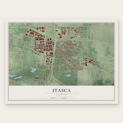
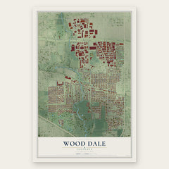
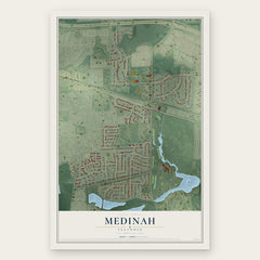
More maps nearby: Bensenville, Mount Prospect, Schaumburg, Des Plaines and Rolling Meadows.
The art of mapping a place
How This Map Was Made
Real places. Remarkable detail. Discover the layers that turn geographic data into a map of home.

The view from above
Aerial imagery reveals the character of the land: woodland, open fields, and the patterns of a place.

The shape of the land
Elevation data brings hills, valleys, and subtle changes in the landscape into view.

The details of home
Roads, waterways, and building footprints come together to make the map feel unmistakably local.

Geography becomes art
Considered color, shading, and typography bring the layers together in a map made for your wall.


Process illustrated with Mendon, Massachusetts. Aerial imagery: USDA NAIP. Terrain: USGS 3D Elevation Program. Map details and finished artwork: KNOWOL.
The Details
About This Print
Choose an archival matte print, or a black or white Ayous wood frame. The archival matte print is unframed.
Select your size and finish above to see the matching product image and price.
Materials & Craftsmanship
A contemporary map with the character of a classic atlas, printed on archival matte paper. Optional frames are made from Ayous wood.
Your printed map does not include the watermark shown in the full-map preview.
Shipping & Delivery
Free shipping within the United States. Every print is made to order in the USA.
Buying a gift? Add a note in your cart and we'll include it. We never put prices in the package.
Prints ship within 2 to 3 business days. Allow 7 to 10 days total from ordering for delivery. Timing may vary during holidays or periods of high order volume.
Read our shipping policy.
Returns and damaged prints
Each print is made to order. Change-of-mind refunds are not available after production.
If your print arrives damaged, misprinted or incorrect, contact support@knowol.com within 30 days of receiving it. Include your order number, photos and a description of the issue.
Read our full refund and replacement policy. For questions about your order, email support@knowol.com.