
Search for another town



Free U.S. delivery 7 to 10 days after you order
Schaumburg, Illinois Map Art
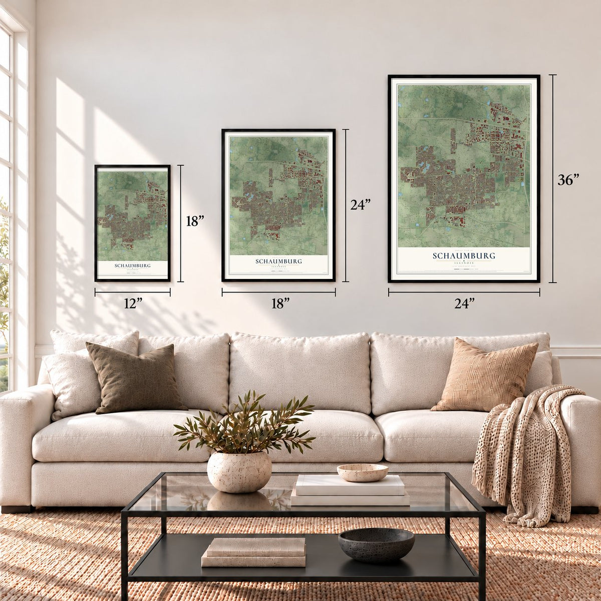
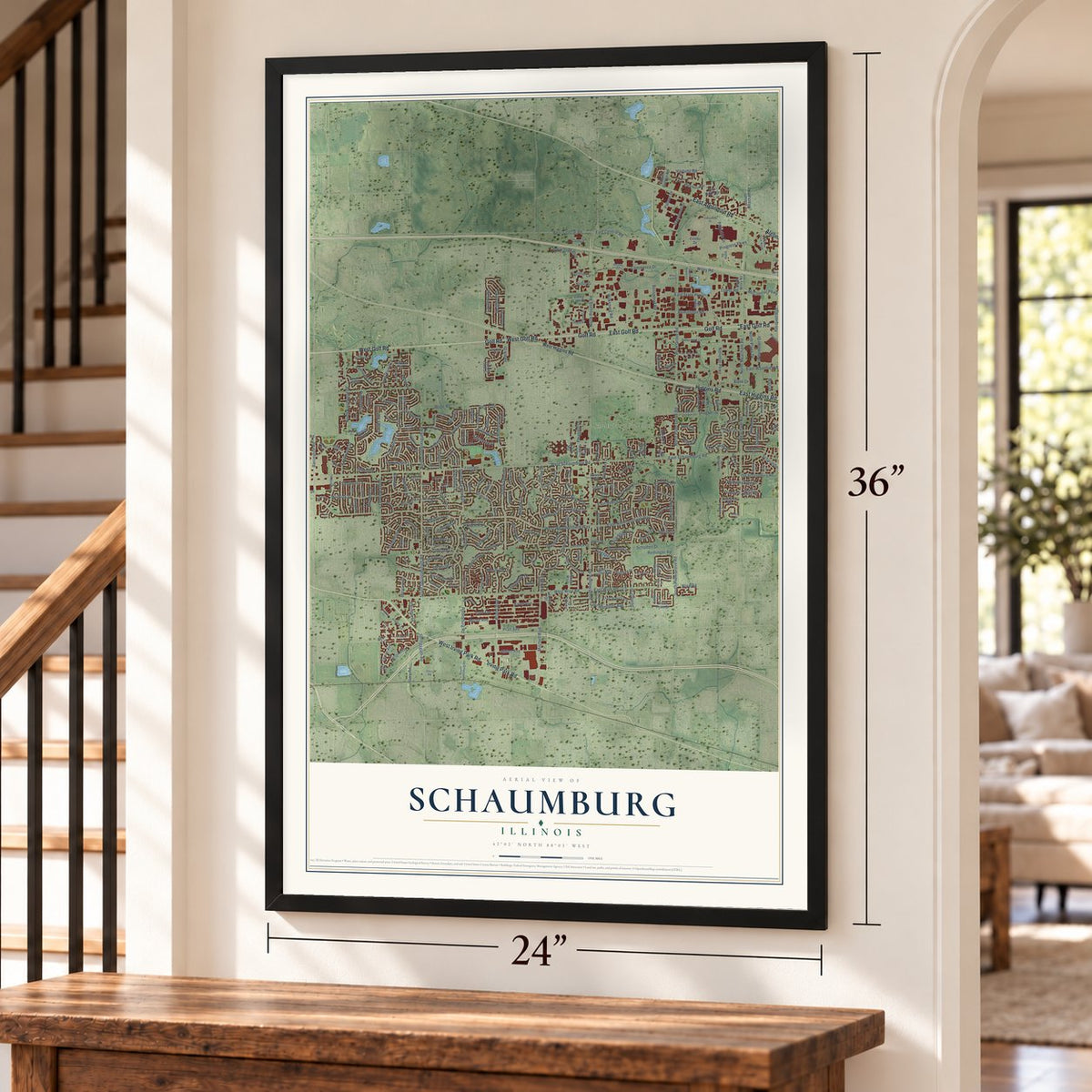
A new map of Schaumburg, Illinois, made in 2026 and printed to order on thick archival matte paper.
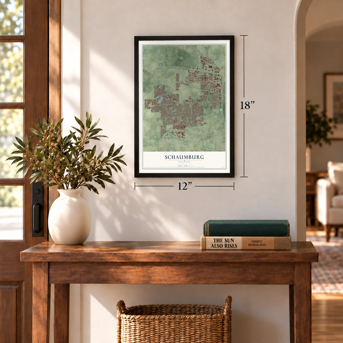
12" x 18" Archival Matte Print
A Map of Home. A Work of Art.
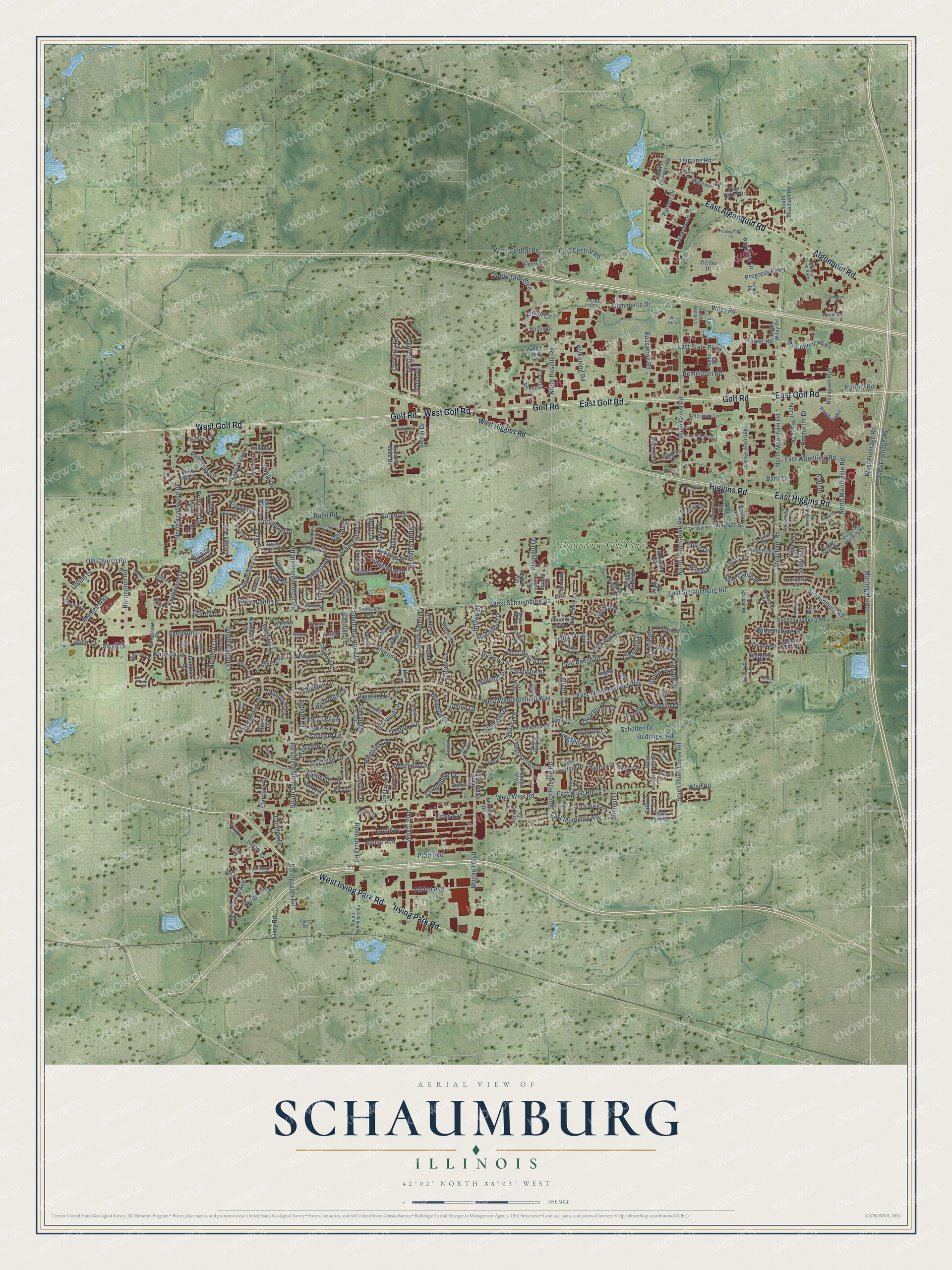
Explore Schaumburg, Illinois from a whole new perspective. Created using aerial imagery and detailed geographic data, this map captures Schaumburg building by building, with labeled streets, familiar landmarks, and shaded topographical relief that highlights the natural contours of the landscape.
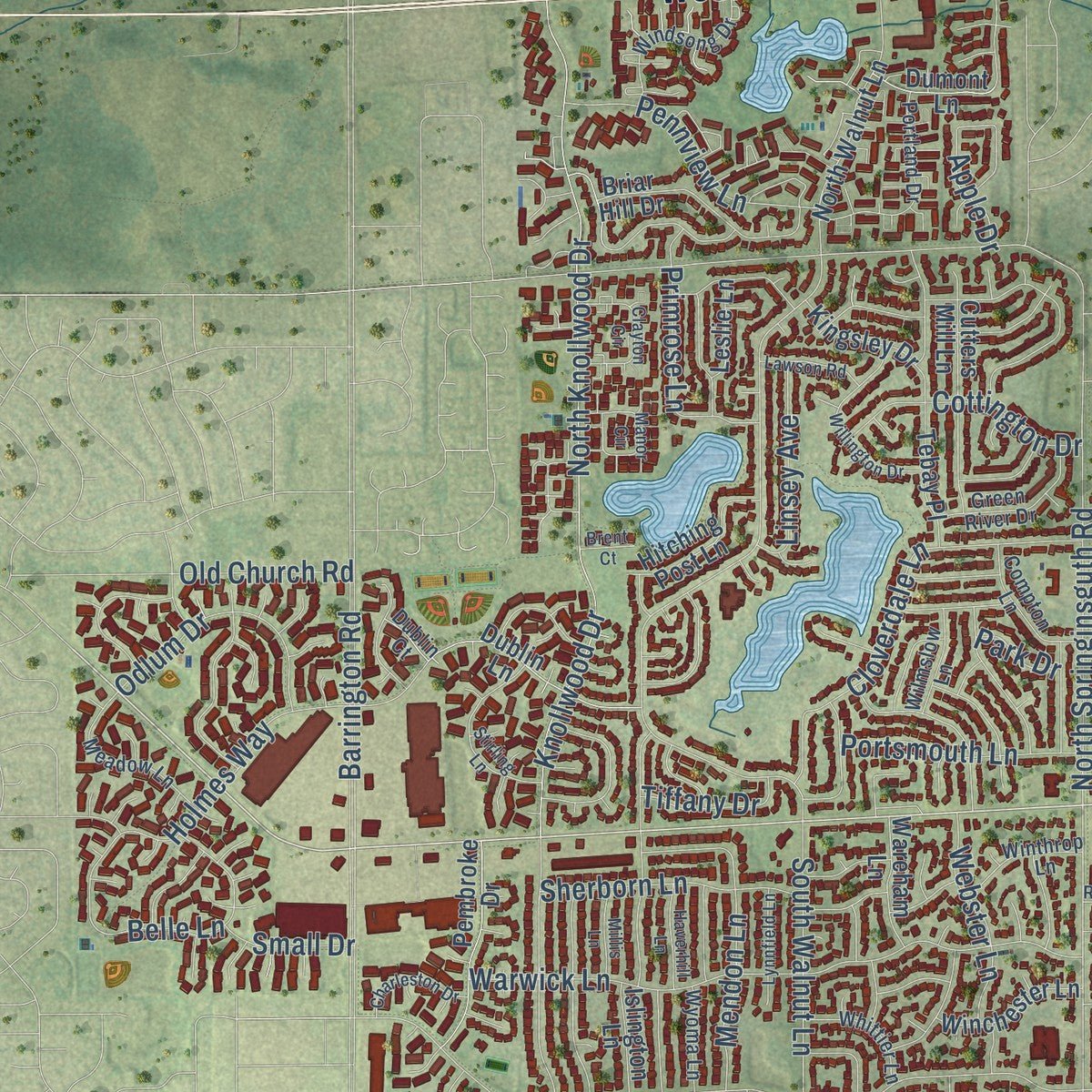
Combining modern data with the timeless character of a vintage atlas, this map is just as interesting up close as it is beautiful on the wall. Whether you grew up in Schaumburg, spent memorable years there, or call it home today, this unique map is a great way to celebrate a place that means something to you. Zoom in on the preview to look for your street, and then order a print to put your memories on the wall.
Three ways to hang it
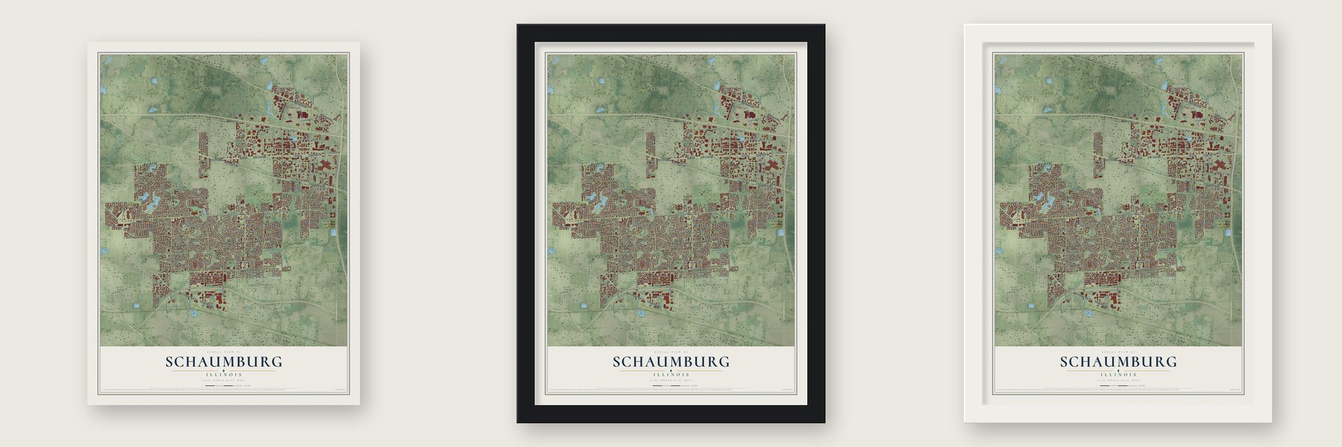
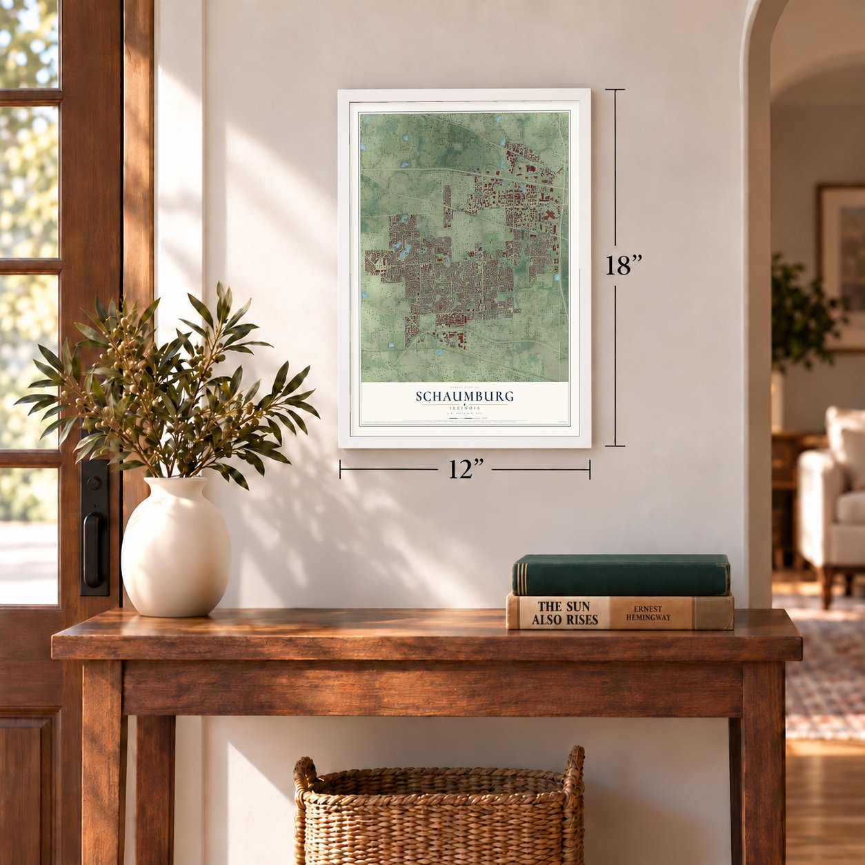
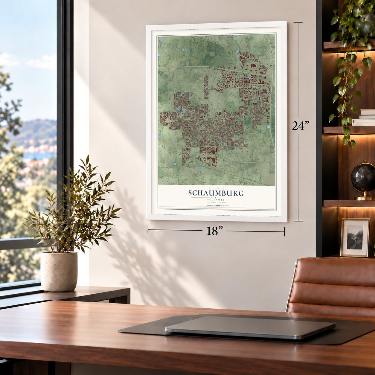
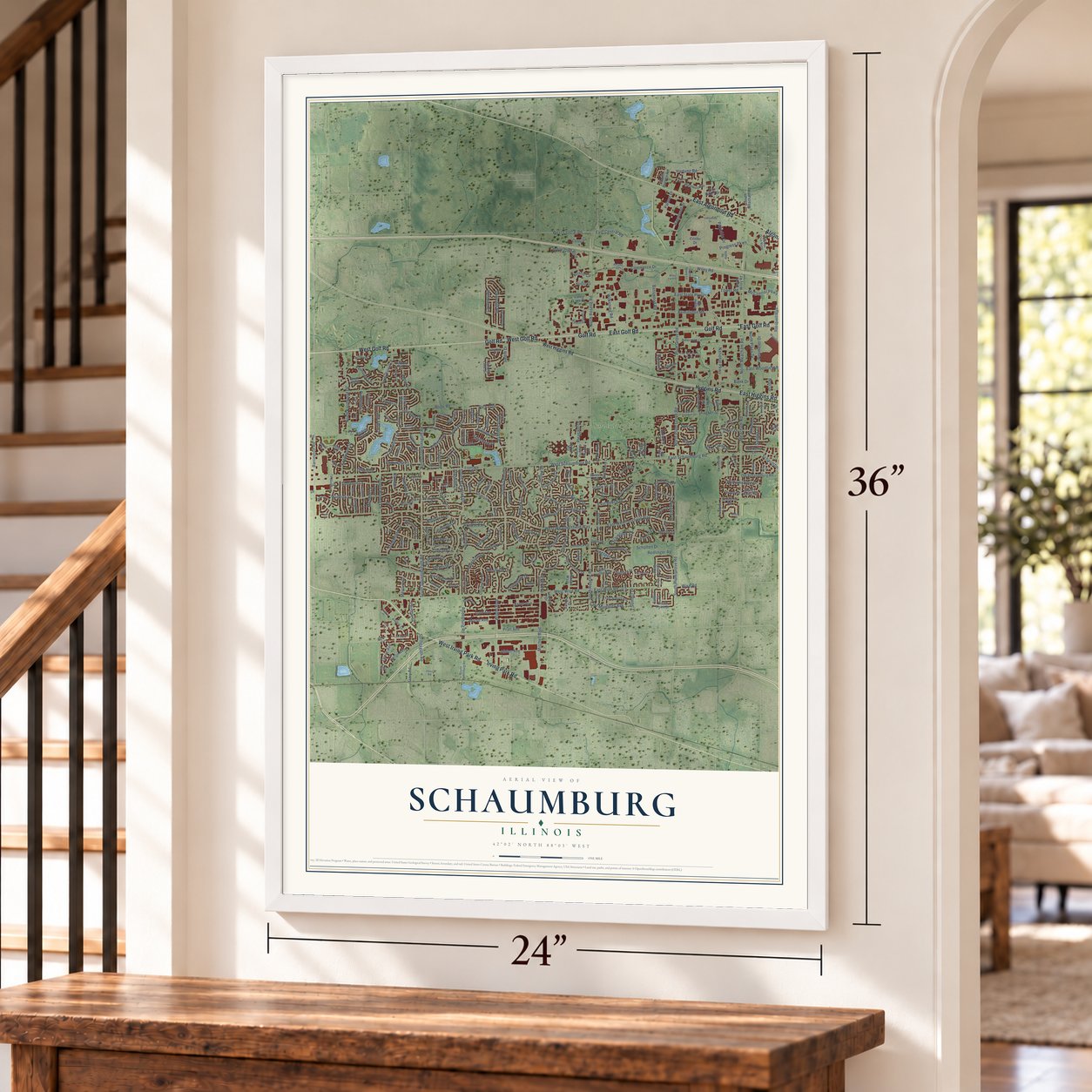
Unframed archival matte, a black wood frame or a white wood frame.
Up close
Geography Worth Displaying
This map was created using accurate cartographic data and authoritative geographic sources, including the U.S. Geological Survey and the Census Bureau. The map brings together terrain, waterways, roads, and building detail. The majority of the streets are labeled, houses are accurately depicted, and the topography is derived from government sources. Combining local data with carefully composed color and shading leads to this beautifully detailed Schaumburg artwork for your wall.
Rather than simply showing street outlines, we’ve included as many of the street names as we could reasonably fit on the map while keeping their names legible. Zoom in on the high resolution preview to see exactly what’s on the map. We truly set out to create a statement piece for anyone who loves Schaumburg. So whether it’s for you, or a gift for someone you love, we hope this map of Schaumburg brings back fond memories.
Read the story behind this map of Schaumburg, Illinois from 2026.

About Schaumburg, Illinois
From the Encyclopedia of Chicago: "A few years later there was a controversy over the name for the little town that was emerging near the church; some wanted it to be Lutherville, but in the end it became known as Schaumburg Center."
Find your street
Names on the Schaumburg map
Every name below is printed on this map. Look for your street, your school, the park where you played, or the pond down the road.
Places and landmarks2
- Olympic Park
- Schaumburg Golf Club
Streets and roads343
- Golf Road
- West Irving Park Road
- Irving Park Road
- East Golf Road
- Higgins Road
- West Golf Road
- East Higgins Road
- East Algonquin Road
- Algonquin Road
- North Meacham Road
- Martingale Road
- North Martingale Road
- East State Parkway
- East Schaumburg Road
- South Salem Drive
- West Frontage Road
- McConnor Parkway
- Wright Boulevard
- North Salem Drive
- Schaumburg Road
- Thacker Street
- Saint Claire Place
- West Schaumburg Road
- North Roselle Road
- Remington Road
- South Roselle Road
- National Parkway
- Meacham Road
- Plum Grove Road
- West Weathersfield Way
Show all 343 streets
- West Wise Road
- North Plum Grove Road
- Barrington Road
- Bode Road
- Summit Drive
- South Braintree Drive
- Perimeter Drive
- Knollwood Drive
- North Knollwood Drive
- South Springinsguth Road
- East Woodfield Road
- Lunt Avenue
- Holmes Way
- Warwick Lane
- Mitchell Boulevard
- Commerce Drive
- Kingston Lane
- East Weathersfield Way
- Rodenburg Road
- South Walnut Lane
- East Frontage Road
- Progress Parkway
- Morse Avenue
- Mercury Drive
- Syracuse Lane
- Hartmann Drive
- Albion Avenue
- Basswood Road
- Westover Lane
- East Wise Road
- East Beech Drive
- North Springinsguth Road
- Wiley Road
- Pinehurst Lane
- Grove Avenue
- Duxbury Lane
- Andrew Lane
- Sharon Lane
- Fairlane Drive
- Churchill Road
- Wilkening Road
- South Plum Grove Road
- Kingsport Drive
- Wise Road
- Norwell Lane
- Salem Drive
- Slingerland Drive
- Sienna Drive
- Webster Lane
- Hammond Drive
- Pennview Lane
- Boxwood Drive
- Arbor Glen Boulevard
- Pleasant Drive
- Cloverdale Lane
- Aimtree Place
- Carver Lane
- Estes Avenue
- Old Church Road
- West Central Road
- Redlinger Road
- Gary Road
- Pratt Avenue
- North Plaza Drive
- Odlum Drive
- West Beech Drive
- Westfield Lane
- East Monterey Avenue
- Springsguth Road
- Parker Drive
- Palmer Drive
- Sherborn Lane
- Sandpebble Drive
- Cottington Drive
- Parkside Drive
- Williamsburg Drive
- Portsmouth Lane
- Hartung Road
- Wingate Drive
- Tower Road
- Mendon Lane
- Amherst Drive
- Bradford Lane
- Allison Lane
- Merlin Drive
- Primrose Lane
- Farmgate Drive
- Scholten Drive
- Desmond Drive
- Sagamore Drive
- Hickory Lane
- Belle Lane
- Linsey Avenue
- Heron Avenue
- Hartley Road
- Seers Drive
- Bank Drive
- Winfal Drive
- Mall Drive
- East Central Road
- Grovenor Drive
- Greenhill Lane
- Clearbrook Court
- Ashwood Drive
- Princeton Lane
- Plymouth Lane
- Concord Lane
- Kristin Circle
- Fennel Lane
- Norwood Lane
- Gareth Lane
- Hilltop Drive
- Standish Lane
- Scully Drive
- Coventry Road
- Tiffany Drive
- Auburn Lane
- Juli Drive
- Janine Lane
- Groen Lane
- Small Drive
- Elm Drive
- Saugus Lane
- Lela Lane
- Apple Drive
- Argyll Lane
- Park Drive
- West Higgins Road
- Old Schaumburg Road
- South Meacham Road
- Dighton Lane
- Remington Circle
- North Walnut Lane
- South Cedarcrest Drive
- American Lane
- Valley Lake Drive
- North Braintree Drive
- Cranbrook Drive
- Shoreline Circle
- Limerick Lane
- Colony Lake Drive
- Dublin Lane
- Frontage Road
- Verde Drive
- Cambia Drive
- Sumac Lane
- Samoset Lane
- West Hartford Drive
- Briar Hill Drive
- Roosevelt Boulevard
- Cambridge Drive
- Pine Valley Drive
- Lambert Drive
- Burberry Circle
- Pembroke Drive
- Colwyn Drive
- Branchwood Drive
- Beckett Lane
- Hazel Drive
- Waterbury Lane
- Tebay Place
- Center Court
- Ellington Drive
- Cutters Mill Lane
- Kemah Lane
- Stock Port Lane
- Seven Pines Road
- Winchester Lane
- East Hartford Drive
- Del Lago Drive
- Woburn Lane
- Arlington Lane
- Bright Ridge Drive
- Hinkle Lane
- Westwood Drive
- Fulbright Lane
- Leonard Drive
- Rugby Place
- South Quentin Road
- Dickens Way
- Hitching Post Lane
- Harvard Lane
- Perth Drive
- Wareham Lane
- Hartford Drive
- South Point Drive
- Sherwood Lane
- Whalom Lane
- Tiverton Court
- Kingsley Drive
- West Point Drive
- Dumont Lane
- Jeffery Lane
- Scarboro Road
- 7 Pines Road
- Payne Road
- Alden Lane
- Jason Lane
- North Wiley Road
- Islington Lane
- Bladon Road
- Kristin Drive
- Marie Lane
- Harbor Lane
- Leslie Lane
- Wianno Lane
- Omni Drive
- Center Drive
- Trails Drive
- Salford Court
- Lundy Lane
- Illinois Avenue
- Clover Lane
- Marcel Lane
- Gary Court
- Garden Way
- East Thacker Street
- Corsaire Lane
- Montclaire Place
- South Rodenburg Road
- Columbine Drive
- East Niagara Avenue
- Thoreau Drive North
- Spring Creek Circle
- Windsong Drive
- Green River Drive
- Meadow Lane
- Pheasant Walk Drive
- Woodfield Mall
- Gregory Lane
- White Pine Drive
- Brookston Drive
- Corporate Crossing Road
- North Summit Drive
- Plumwood Drive
- Lowell Lane
- Whittier Lane
- Winthrop Lane
- Hampton Lane
- Lamorak Drive
- Mohegan Lane
- Bar Harbour Road
- Milton Lane
- Aster Drive
- Portland Drive
- Fairview Lane
- Patricia Drive
- Compton Lane
- Regency Drive
- Wilmslow Lane
- Wyoma Lane
- Woodland Drive
- Amboy Lane
- Iverson Lane
- Kamp Drive
- Wakeby Lane
- North Penny Lane
- Beacon Drive
- Amada Court
- Langley Drive
- Lorelei Drive
- Tonset Lane
- Lewis Court
- Greco Lane
- Dublin Court
- Crest Court
- Fenz Road
- Juli Court
- Spring Cove Drive
- North Pleasant Drive
- Willington Drive
- Keystone Place
- Stirling Lane
- Lakepointe Drive
- Cornell Lane
- Manor Circle
- Clayton Circle
- Whitman Drive
- East Woodfield Ofc Court
- Revere Circle
- Elmhurst Lane
- Morningside Drive
- Westchester Road
- Charleston Drive
- Thames Drive
- Old Mill Drive
- Lynnfield Lane
- Lexington Drive
- Lawson Road
- Camellia Lane
- Haverhill Lane
- Indian Hill Drive
- Birmingham Lane
- Stratford Drive
- Chesapeake Lane
- Bristol Lane
- Millis Lane
- Exmore Drive
- Webley Lane
- Longtree Court
- Longboat Lane
- Wiley Farm Court
- Carriage Lane
- Tyler Drive
- Walnut Avenue
- Paxton Lane
- Vassar Lane
- Brent Court
- Neal Court
- Blaine Court
- Dixie Court
- Lawn Court
- Carr Court
Names are listed as they appear on the printed map. Zoom into the product photos to find them.
The art of mapping a place
How This Map Was Made
Real places. Remarkable detail. Discover the layers that turn geographic data into a map of home.

The view from above
Aerial imagery reveals the character of the land: woodland, open fields, and the patterns of a place.

The shape of the land
Elevation data brings hills, valleys, and subtle changes in the landscape into view.

The details of home
Roads, waterways, and building footprints come together to make the map feel unmistakably local.

Geography becomes art
Considered color, shading, and typography bring the layers together in a map made for your wall.


Process illustrated with Mendon, Massachusetts. Aerial imagery: USDA NAIP. Terrain: USGS 3D Elevation Program. Map details and finished artwork: KNOWOL.
The Details
About This Print
Choose an archival matte print, or a black or white Ayous wood frame. The archival matte print is unframed.
Select your size and finish above to see the matching product image and price.
Materials & Craftsmanship
A contemporary map with the character of a classic atlas, printed on archival matte paper. Optional frames are made from Ayous wood.
Your printed map does not include the watermark shown in the full-map preview.
Shipping & Delivery
Free shipping within the United States. Every print is made to order in the USA.
Buying a gift? Add a note in your cart and we'll include it. We never put prices in the package.
Prints ship within 2 to 3 business days. Allow 7 to 10 days total from ordering for delivery. Timing may vary during holidays or periods of high order volume.
Read our shipping policy.
Returns and damaged prints
Each print is made to order. Change-of-mind refunds are not available after production.
If your print arrives damaged, misprinted or incorrect, contact support@knowol.com within 30 days of receiving it. Include your order number, photos and a description of the issue.
Read our full refund and replacement policy. For questions about your order, email support@knowol.com.
Find your town
Looking for another city?
Find a map of home in our Illinois collection, or any town in the country.
Nearby
Maps of towns near Schaumburg
Know someone from one of these towns? Their map makes a great gift.
 Roselle
, Illinois
From $39.99See the map
 Hoffman Estates
, Illinois
From $39.99See the map
 Rolling Meadows
, Illinois
From $39.99See the map
More maps nearby: Hanover Park, Streamwood, Itasca, Elk Grove Village and Bloomingdale.