
Search for another town





Free U.S. delivery 7 to 10 days after you order
Streamwood, Illinois Map Art
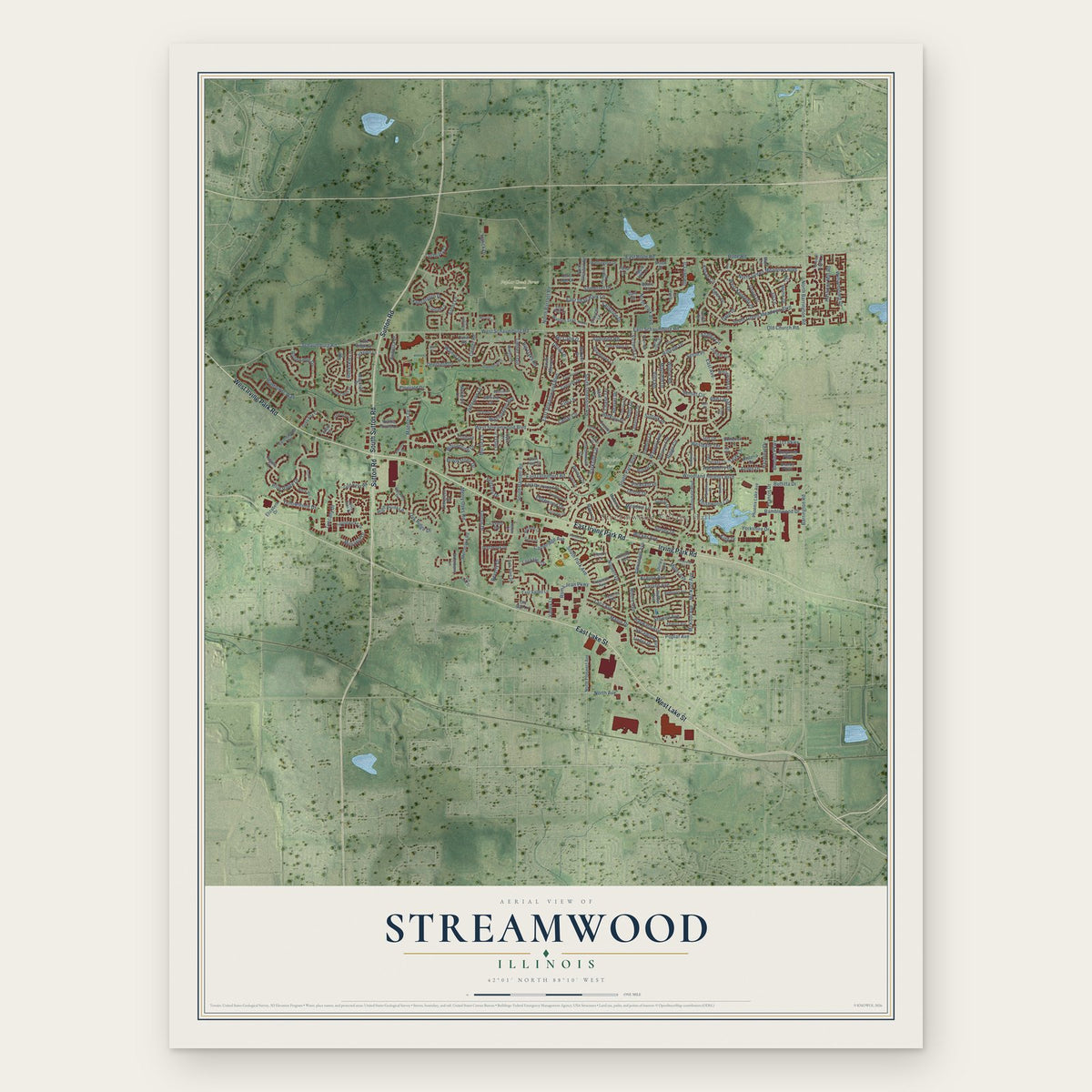
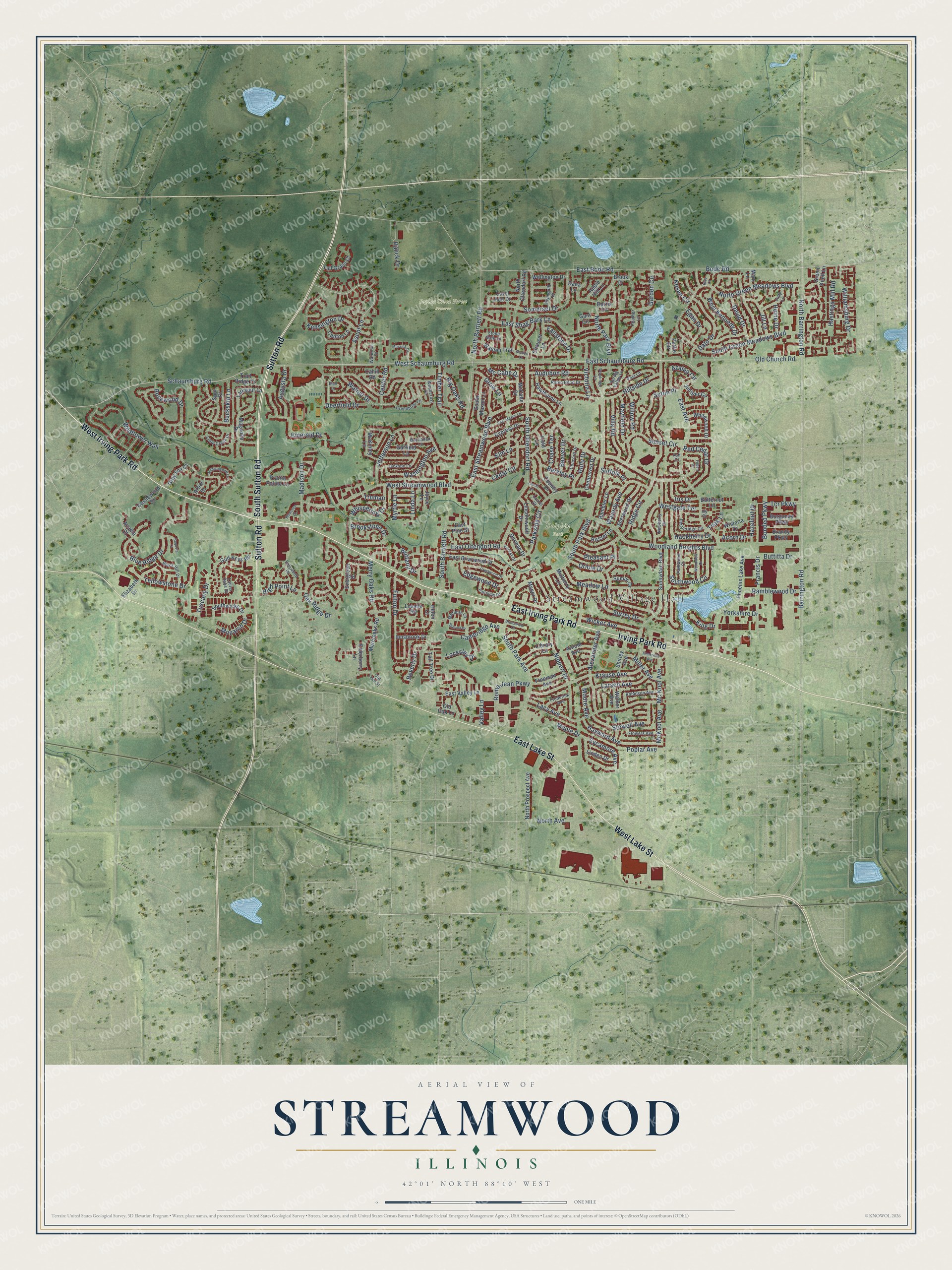
A new map of Streamwood, Illinois, made in 2026 and printed to order on thick archival matte paper.
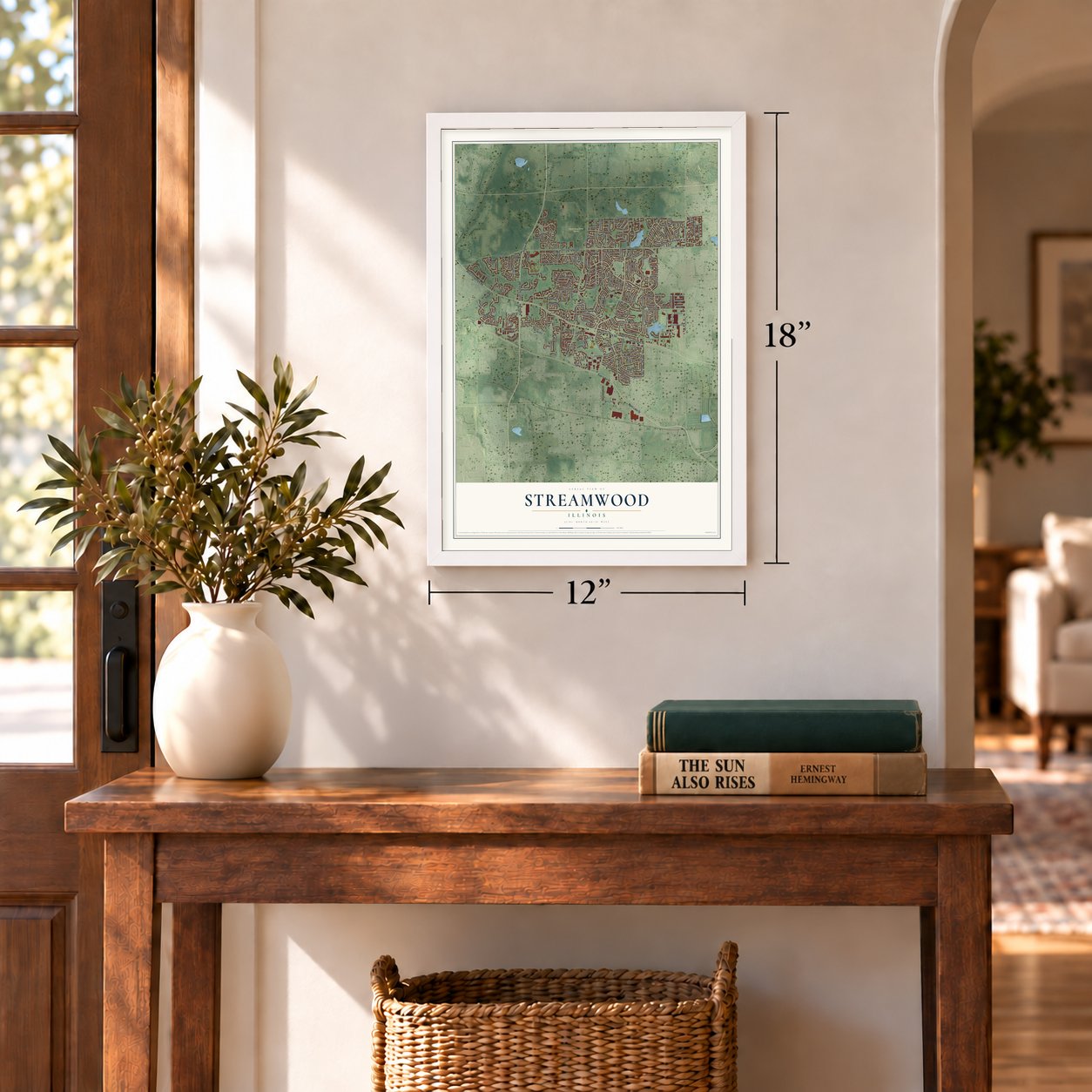
12" x 18" Archival Matte Print
A Map of Home. A Work of Art.
Explore Streamwood, Illinois from a whole new perspective. Created using aerial imagery and detailed geographic data, this map captures Streamwood building by building, with labeled streets, familiar landmarks, and shaded topographical relief that highlights the natural contours of the landscape.
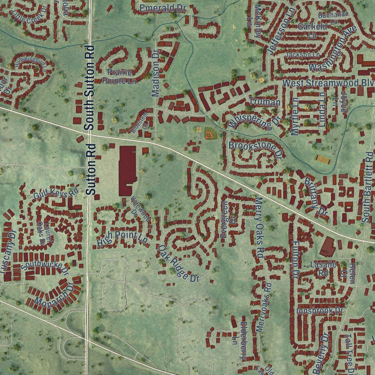
Combining modern data with the timeless character of a vintage atlas, this map is just as interesting up close as it is beautiful on the wall. Whether you grew up in Streamwood, spent memorable years there, or call it home today, this unique map is a great way to celebrate a place that means something to you. Zoom in on the preview to look for your street, and then order a print to put your memories on the wall.
Three ways to hang it
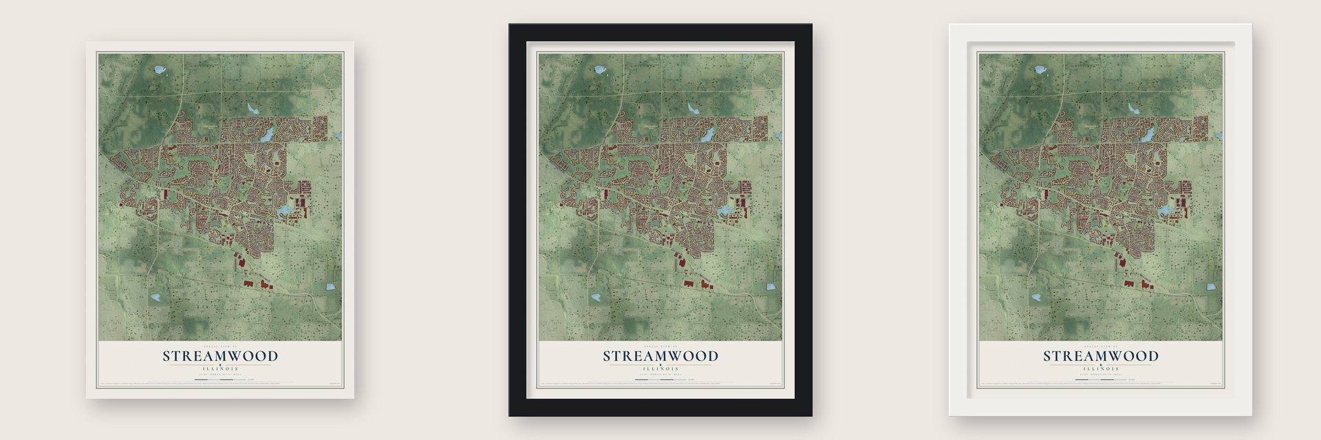
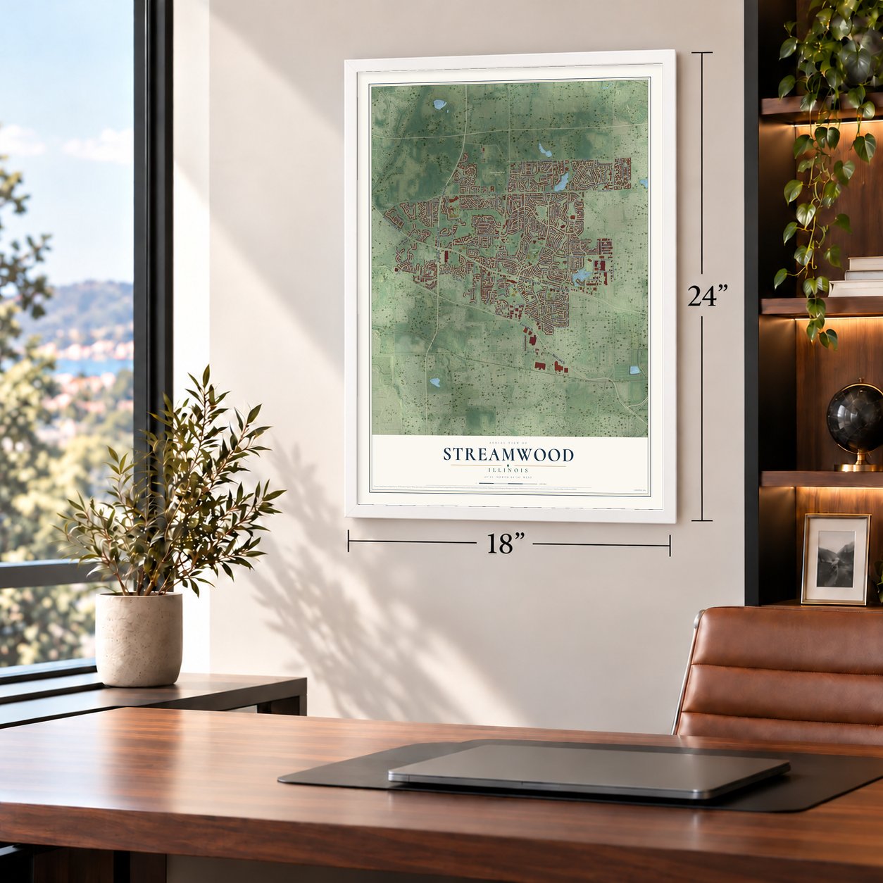
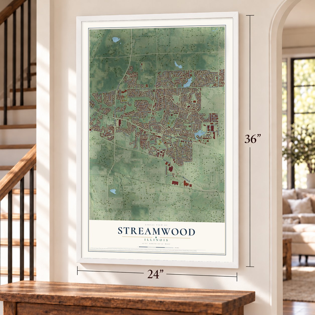
Unframed archival matte, a black wood frame or a white wood frame.
Up close
Geography Worth Displaying
This map was created using accurate cartographic data and authoritative geographic sources, including the U.S. Geological Survey and the Census Bureau. The map brings together terrain, waterways, roads, and building detail. The majority of the streets are labeled, houses are accurately depicted, and the topography is derived from government sources. Combining local data with carefully composed color and shading leads to this beautifully detailed Streamwood artwork for your wall.
Rather than simply showing street outlines, we’ve included as many of the street names as we could reasonably fit on the map while keeping their names legible. Zoom in on the high resolution preview to see exactly what’s on the map. We truly set out to create a statement piece for anyone who loves Streamwood. So whether it’s for you, or a gift for someone you love, we hope this map of Streamwood brings back fond memories.
Read the story behind this map of Streamwood, Illinois from 2026.
About Streamwood, Illinois
Streamwood is a village of 39,577 people in Cook County, in the northwest suburbs of Chicago. It grew up after the war, when veterans coming home bought houses in the suburbs around the city. Those new homeowners made Streamwood a village of its own on February 9, 1957.
- A village since 1957Streamwood was a post-war community from the start. Returning veterans settled here as Chicago's suburbs spread outward, and the growing neighborhood was incorporated as a village on February 9, 1957.
- One of the Tri VillageStreamwood, Bartlett and Hanover Park together form what people call the Tri Village area. The three towns share more than a nickname: Streamwood's commuters catch Metra trains at the Bartlett station, on the Milwaukee District West Line to Chicago Union Station.
- The Streamwood StrideEvery June, on the second weekend of the month, runners gather in the village for the Streamwood Stride. The 2010 edition was the 12th. It offered a 5k run or walk, a 10k run, a 1-mile fun run and kiddie races of 50 and 100 meters. Runners could also enter the double derby, which pairs the Stride with Bartlett's Blossom Run.
Find your street
Names on the Streamwood map
Every name below is printed on this map. Look for your street, your school, the park where you played, or the pond down the road.
Places and landmarks3
- Streamwood Village Hall
- Dolphin Park
- Poplar Creek Forest Preserve
Streets and roads251
- West Irving Park Road
- East Irving Park Road
- East Lake Street
- West Lake Street
- Sutton Road
- Irving Park Road
- South Sutton Road
- Ascot Lane
- East Schaumburg Road
- West Schaumburg Road
- Schaumburg Road
- South Park Boulevard
- North Bartlett Road
- South Bartlett Road
- East Bode Road
- Sunset Circle
- East Streamwood Boulevard
- South Oltendorf Road
- Locksley Drive
- Red Cedar Drive
- Merry Oaks Road
- Bode Road
- East Avenue
- Ridge Circle
- Wildflower Way
- Woodland Heights Boulevard
- Barrington Road
- Parkside Circle
- Oak Ridge Drive
- Hillside Drive
Show all 251 streets
- West Streamwood Boulevard
- Blue Ridge Drive
- North Barrington Road
- South Park Avenue
- Lacy Avenue
- South Green Meadows Boulevard
- Oriole Drive
- Jefferson Lane
- Walnut Drive
- East Shag Bark Lane
- Williamsburg Drive
- Somerset Drive
- Maple Drive
- Cedar Circle
- Krause Avenue
- Rosewood Drive
- Old Church Road
- Fulton Drive
- Madison Drive
- Emerald Drive
- North Green Meadows Boulevard
- Meadow Lane
- North Park Boulevard
- Mc Kool Avenue
- McKool Avenue
- Kensington Drive
- Garden Circle
- Southwood Circle
- Nippert Drive
- Whispering Drive
- Westgate Terrace
- Hastings Mill Road
- Hayward Avenue
- Alexander Avenue
- Cambridge Avenue
- Stowell Avenue
- Brookstone Drive
- Yellowstone Drive
- Roma Jean Parkway
- North Avenue
- Timber Trail
- Monarch Drive
- West Kennedy Drive
- Francis Drive
- Seton Place
- Waverly Avenue
- Hackberry Drive
- Washington Avenue
- Surrey Drive
- Dato Drive
- Edgewood Drive
- Mc Cabe Drive
- Villa Road
- Wicker Avenue
- Ramblewood Drive
- Kosan Circle
- Larsen Avenue
- Buckskin Lane
- East Oltendorf Road
- Audubon Road
- Brittany Drive
- Augusta Drive
- Grow Lane
- High Point Lane
- Beverly Drive
- Azalea Circle
- Hazelnut Drive
- Mayfield Drive
- David Drive
- Sycamore Avenue
- Halick Drive
- Big Oaks Road
- Chase Terrace
- Jill Lane
- Tuscany Drive
- Deerfield Drive
- Fallstone Drive
- Miller Avenue
- Willow Road
- Bonded Parkway
- Iris Drive
- Pleasant Place
- Egan Drive
- Buttitta Drive
- Holly Drive
- Center Road
- Elm Lane
- Poplar Avenue
- Berkley Place
- Moore Avenue
- Beaver Drive
- Yorkshire Drive
- Tcr Parkway
- Victoria Lane
- Valley Lane
- Myrtle Lane
- Acorn Drive
- Linda Lane
- Teak Lane
- Suffolk Place
- Heine Drive
- King Drive
- Truman
- Magnolia Drive
- Larkspur Lane
- Sunnydale Boulevard
- North Oltendorf Road
- Gant Circle
- Arnold Avenue
- Cypress Drive
- Sumac Drive
- East Briarwood Drive
- Phoenix Lake Avenue
- McCabe Drive
- McKinley Lane
- Elizabeth Drive
- Southwicke Drive
- Merryoaks Road
- Juniper Circle
- Gulf Keys Road
- Prairie Pointe Lane
- South Maxon Lane
- Sherwood Drive
- Lasalle Road
- Lincolnwood Drive
- Petrie Circle
- North Prospect Avenue
- Rambler Lane
- Evergreen Drive
- Country Lane
- Hawthorne Lane
- Garfield Lane
- Carol Ann Drive
- Whitewood Drive
- Walden Trail
- Canton Lane
- Tall Grass Court
- Mulberry Lane
- Borris Circle
- Wisteria Drive
- Russet Lane
- Shirley Avenue
- Library Lane
- Brandy Parkway
- Burgundy Parkway
- Cedarcrest Drive
- East Valley Lane
- Chaucer Lane
- Freeman Avenue
- Wellington Drive
- Green Knoll Lane
- Tall Tree Drive
- Innsbrook Drive
- Old Oak Lane
- Elderberry Lane
- Castlewood Drive
- Linden Drive
- Apple Hill Lane
- Dorman Drive
- Cahill Road
- Grey Fox Court
- Butternut Lane
- East Pine Street
- Manor Drive
- Walker Avenue
- Trail Ridge Court
- Acadia Court
- Joyce Lane
- Arbor Drive
- Mark Lane
- Field Lane
- Helen Court
- Brook Drive
- Spur Court
- Dana Lane
- Laurel Oaks Drive
- Little Creek Drive
- Newberry Drive
- Jackson Lane
- Robinson Avenue
- Robin Hood Drive
- Post Lane
- Black Hill Drive
- Fairview Drive
- Pepperidge Circle
- Flowers Avenue
- Spring Valley Lane
- Stone Gate Lane
- Meridith Lane
- Judy Lane
- Parkwood Court
- Woodcrest Circle
- Plymouth Drive
- Greenbriar Lane
- Valewood Drive
- Concord Drive
- Buchanan Lane
- Frederick Avenue
- Old Lake Street
- Heather Lane
- Forest Drive
- Waterton Drive
- Laurel Court
- Ash Court
- Ivy Court
- Filbert Drive
- East Maxon Lane
- Crestwood Drive
- Hummingbird Lane
- Woodridge Lane
- Samuel Drive
- Woodview Drive
- Moraine Drive
- Marion Lane
- Sequoia Court
- Laurel Lane
- Brunswick Court
- Bluestem Court
- Tinnerella Avenue
- Bluff Court
- Hise Court
Names are listed as they appear on the printed map. Zoom into the product photos to find them.
The art of mapping a place
How This Map Was Made
Real places. Remarkable detail. Discover the layers that turn geographic data into a map of home.

The view from above
Aerial imagery reveals the character of the land: woodland, open fields, and the patterns of a place.

The shape of the land
Elevation data brings hills, valleys, and subtle changes in the landscape into view.

The details of home
Roads, waterways, and building footprints come together to make the map feel unmistakably local.

Geography becomes art
Considered color, shading, and typography bring the layers together in a map made for your wall.


Process illustrated with Mendon, Massachusetts. Aerial imagery: USDA NAIP. Terrain: USGS 3D Elevation Program. Map details and finished artwork: KNOWOL.
The Details
About This Print
Choose an archival matte print, or a black or white Ayous wood frame. The archival matte print is unframed.
Select your size and finish above to see the matching product image and price.
Materials & Craftsmanship
A contemporary map with the character of a classic atlas, printed on archival matte paper. Optional frames are made from Ayous wood.
Your printed map does not include the watermark shown in the full-map preview.
Shipping & Delivery
Free shipping within the United States. Every print is made to order in the USA.
Buying a gift? Add a note in your cart and we'll include it. We never put prices in the package.
Prints ship within 2 to 3 business days. Allow 7 to 10 days total from ordering for delivery. Timing may vary during holidays or periods of high order volume.
Read our shipping policy.
Returns and damaged prints
Each print is made to order. Change-of-mind refunds are not available after production.
If your print arrives damaged, misprinted or incorrect, contact support@knowol.com within 30 days of receiving it. Include your order number, photos and a description of the issue.
Read our full refund and replacement policy. For questions about your order, email support@knowol.com.
Find your town
Looking for another city?
Find a map of home in our Illinois collection, or any town in the country.
Nearby
Maps of towns near Streamwood
Know someone from one of these towns? Their map makes a great gift.
 Hanover Park
, Illinois
From $39.99See the map
 Hoffman Estates
, Illinois
From $39.99See the map
 Bartlett
, Illinois
From $39.99See the map
More maps nearby: South Barrington, Schaumburg, Roselle, Wayne and East Dundee.