
Search for another town



Free U.S. delivery 7 to 10 days after you order
Keeneyville, Illinois Map Art
Building by building, with labeled streets and shaded relief.
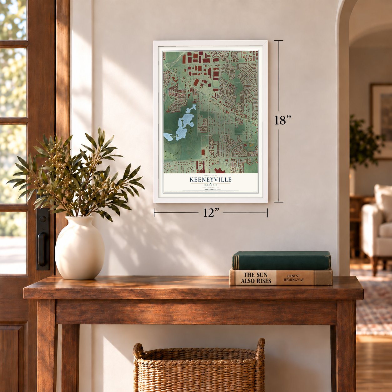
12" x 18" Archival Matte Print
A Map of Home. A Work of Art.
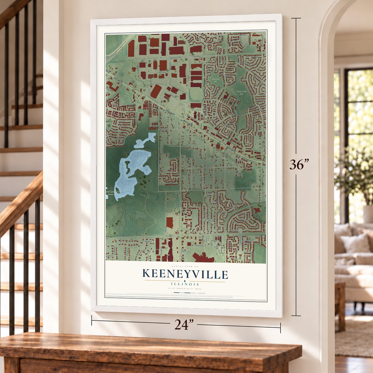
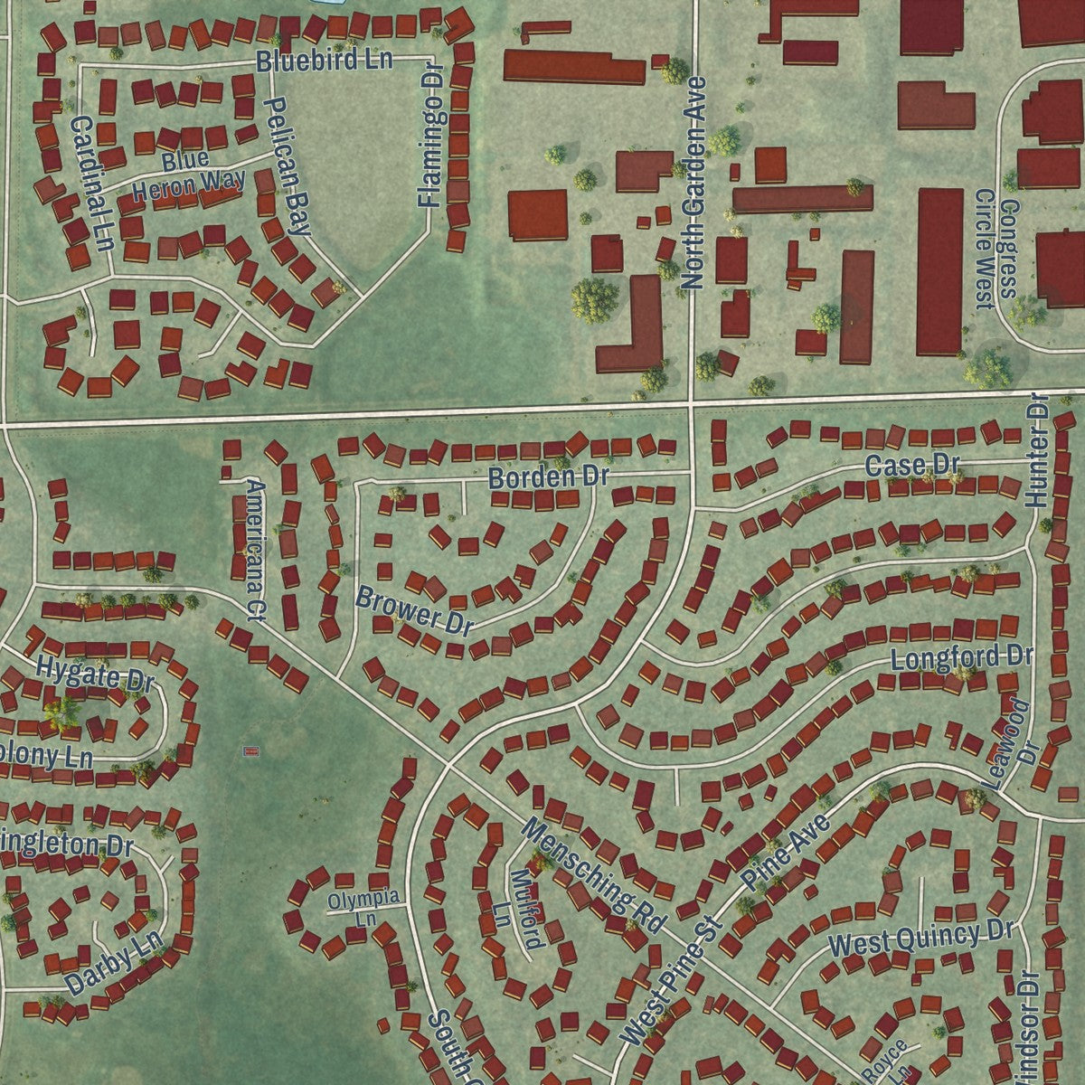
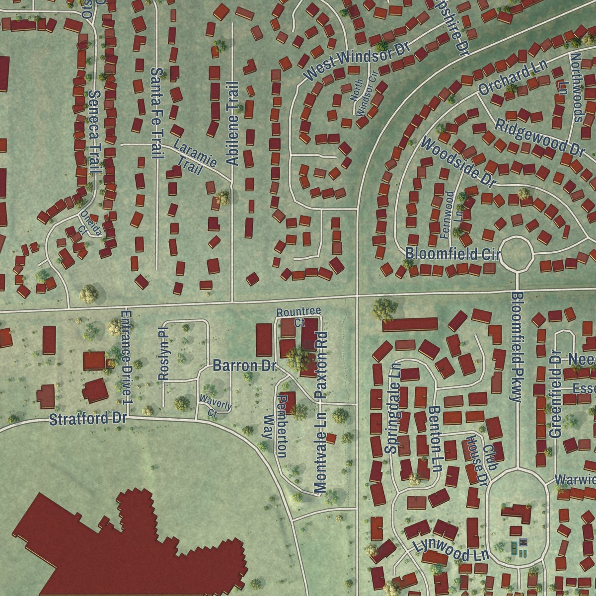
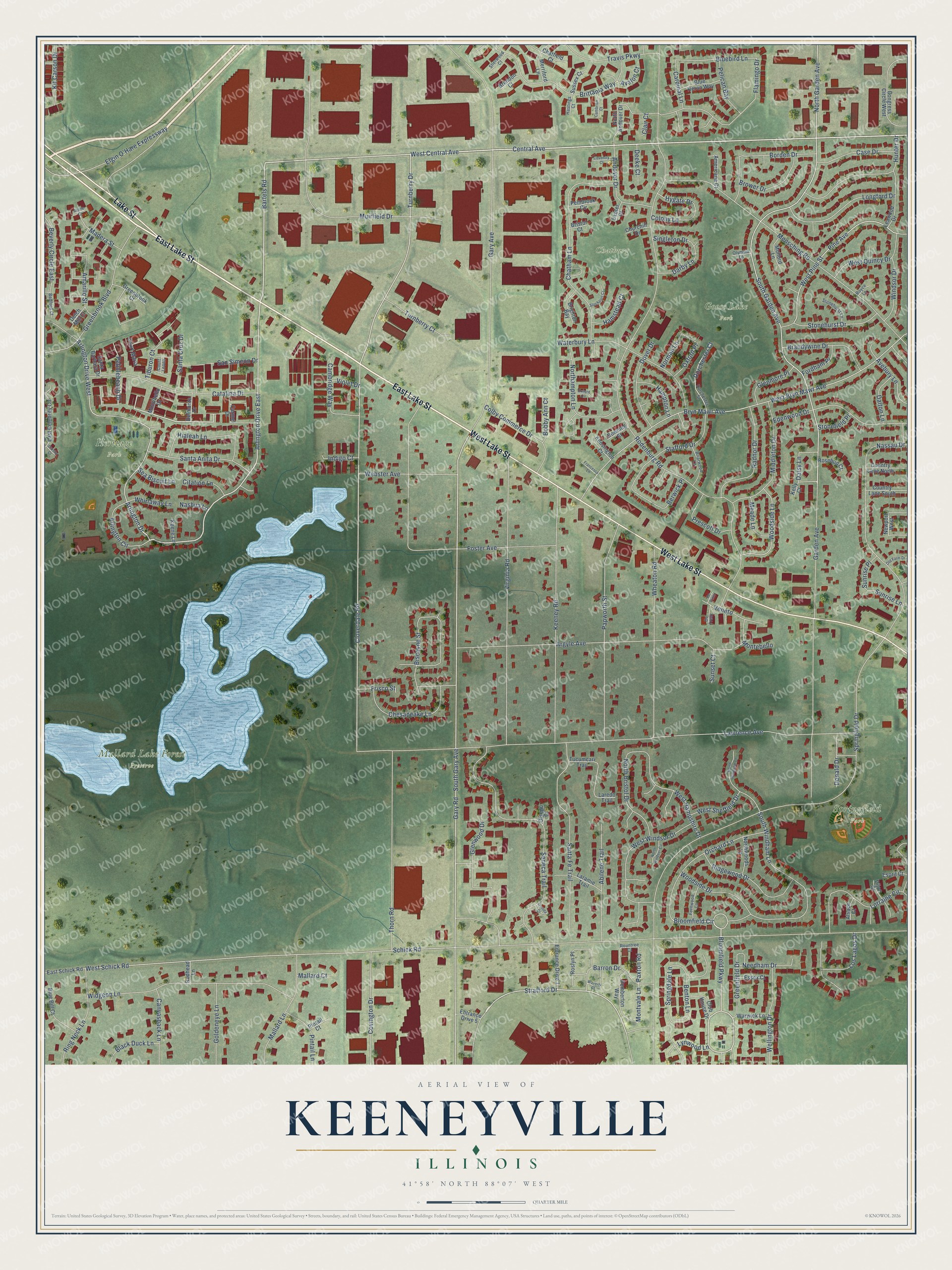
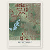
Explore Keeneyville, Illinois from a whole new perspective. Created using aerial imagery and detailed geographic data, this map captures Keeneyville building by building, with labeled streets, familiar landmarks, and shaded topographical relief that highlights the natural contours of the landscape.
Combining modern data with the timeless character of a vintage atlas, this map is just as interesting up close as it is beautiful on the wall. Whether you grew up in Keeneyville, spent memorable years there, or call it home today, this unique map is a great way to celebrate a place that means something to you. Zoom in on the preview to look for your street, and then order a print to put your memories on the wall.
Three ways to hang it
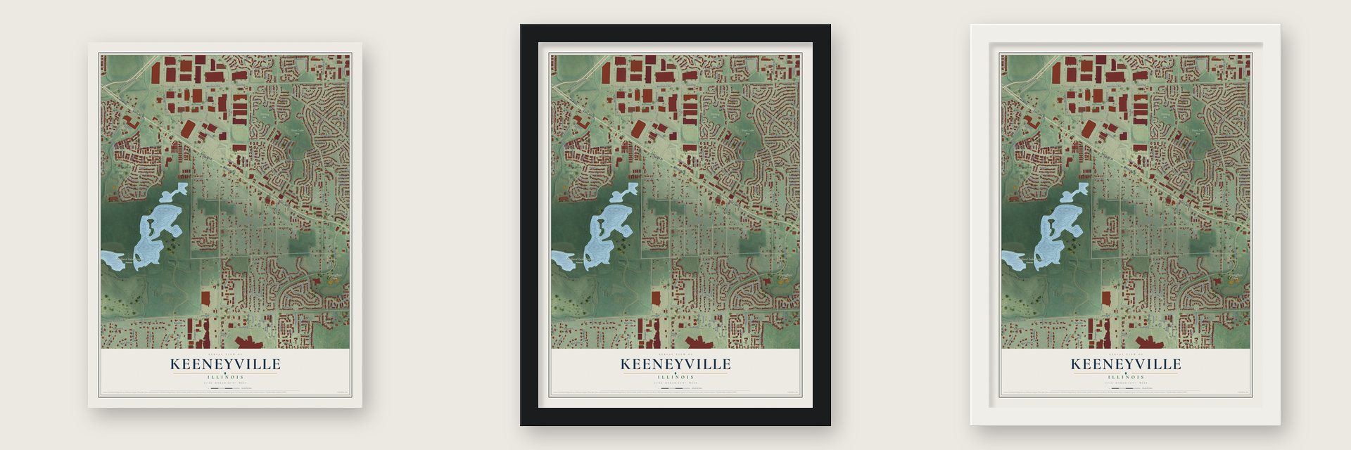
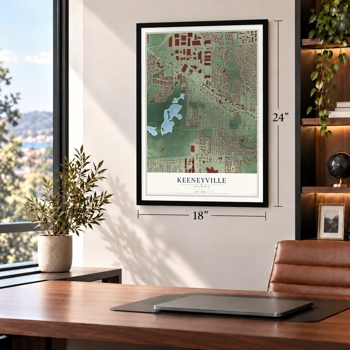
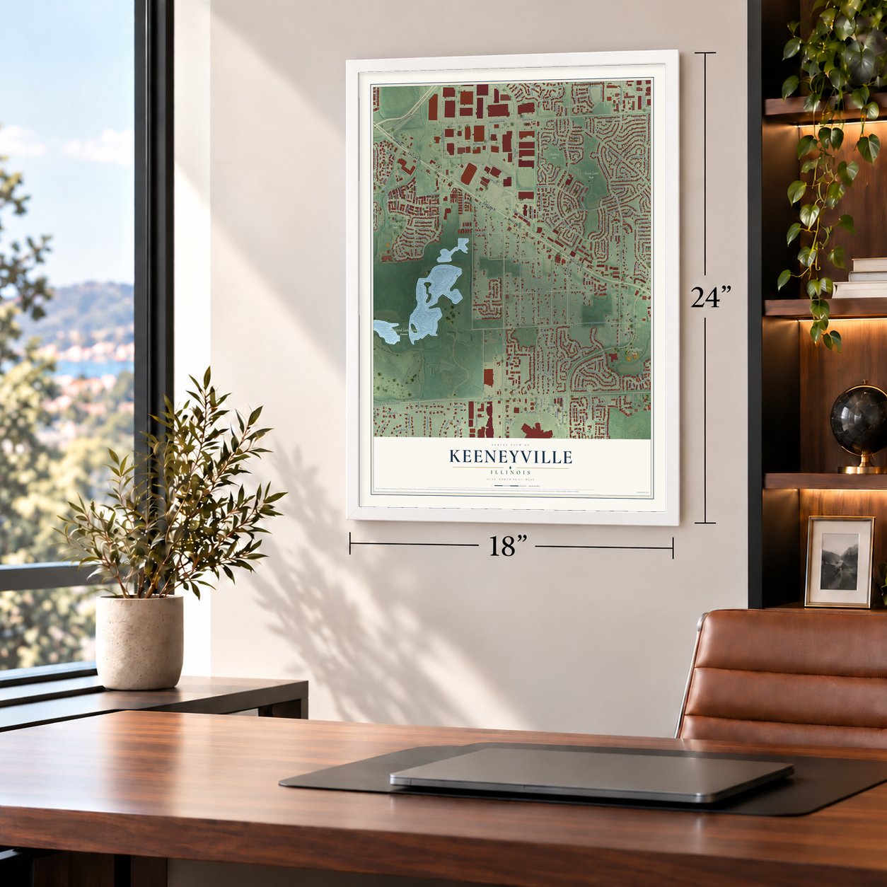
Unframed archival matte, a black wood frame or a white wood frame.
Up close
Geography Worth Displaying
This map was created using accurate cartographic data and authoritative geographic sources, including the U.S. Geological Survey and the Census Bureau. The map brings together terrain, waterways, roads, and building detail. The majority of the streets are labeled, houses are accurately depicted, and the topography is derived from government sources. Combining local data with carefully composed color and shading leads to this beautifully detailed Keeneyville artwork for your wall.
Rather than simply showing street outlines, we’ve included as many of the street names as we could reasonably fit on the map while keeping their names legible. Zoom in on the high resolution preview to see exactly what’s on the map. We truly set out to create a statement piece for anyone who loves Keeneyville. So whether it’s for you, or a gift for someone you love, we hope this map of Keeneyville brings back fond memories.
Read the story behind this map: Detailed Map of Keeneyville, Illinois.
Find your street
Names on the Keeneyville map
Every name below is printed on this map. Look for your street, your school, the park where you played, or the pond down the road.
Places and landmarks5
- Goose Lake Park
- Heritage Park
- Mallard Lake Forest Preserve
- Springfield Park
- Chatburg Park
Streets and roads226
- East Lake Street
- West Lake Street
- Lake Street
- Central Avenue
- West Central Avenue
- Arlington Drive East
- Bartels Road
- Bloomfield Circle
- Bloomfield Parkway
- Stratford Drive
- Turnberry Drive
- Arlington Drive
- Cloverdale Road
- Arlington Drive West
- South Garden Avenue
- North Garden Avenue
- Gary Road
- Pine Avenue
- West Pine Street
- Montvale Lane
- Abilene Trail
- Paxton Road
- Gary Avenue
- West Schick Road
- Garden Avenue
- Springfield Drive
- Rodenburg Road
- Lawrence Avenue
- West Bryn Mawr Avenue
- Bryn Mawr Avenue
Show all 226 streets
- Schick Road
- Thorn Road
- South Gary Avenue
- Mensching Road
- Virginia Road
- Muirfield Drive
- Argyle Avenue
- Seneca Trail
- Keeney Road
- Woodside Drive
- Papworth Street
- Widgeon Lane
- Chatham Lane
- Biscayne Street
- Santa Fe Trail
- Wheaton Road
- Brittania Way
- Catalina Drive
- Greenbrook Boulevard
- Waterbury Lane
- Glenwood Drive
- Foster Avenue
- West Windsor Drive
- Orchard Lane
- Benton Lane
- Edenwood Drive
- Elgin O'Hare Expressway
- Hunter Drive
- Flamingo Drive
- West Hampshire Drive
- Lorraine Circle
- Middleton Drive
- Borden Drive
- South Windham Lane
- Los Lagos Drive
- Longford Drive
- Northampton Lane
- Mallard Lane
- Ridgewood Drive
- Radnor Drive
- Covington Drive
- Berwick Place
- Hialeah Lane
- Chesapeake Lane
- Santa Anita Drive
- Travis Parkway
- Ring Neck Lane
- Colby Commerce Drive
- Wellington Drive
- Webster Avenue
- Woodside Lane
- North Bristol Drive
- Barron Drive
- Brandywine Drive
- Dover Drive
- Windsor Drive
- Andover Drive
- Tiburon Court
- Stonehurst Drive
- Cambridge Way
- Stafford Drive
- Bluebird Lane
- Arlington Circle
- Goldeneye Lane
- Case Drive
- Springdale Lane
- Greenfield Drive
- Brower Drive
- San Simeon Drive
- Turnberry Court
- Canvasback Lane
- Dorchester Court
- Beverly Circle East
- Kit Carson Drive
- Prescott Drive
- Cardinal Lane
- Donald Drive
- Daisy Lane
- Pintail Lane
- Amarillo Street
- West Quincy Drive
- Veneto
- Glenmore Place
- Pelican Bay
- Needham Drive
- West Sheffield Drive
- Madera Street
- Norman Lane
- Santa Cruz Drive
- Avebury Lane
- Pebblebeach Drive
- Hampton Lane
- Darby Lane
- Dalton Lane
- Montebello
- Meade Lane
- Colony Lane
- Hamstead Court
- Black Duck Lane
- Citation Lane
- Bobby Ann Court
- Fordham Place
- Hygate Drive
- Whirlaway Lane
- Singleton Drive
- Oxford Place
- Sunrise Lane
- Sea Biscuit Lane
- Deeke Court
- Sunrise Place
- Indigo Court
- Frisco Street
- Stonefield Place
- Lynwood Lane
- Mallard Court
- Nassau Drive
- Sunset Court
- Violet Drive
- Avalon Court
- Nashua Lane
- Clair Court
- Roslyn Place
- Newport West
- Congress Circle West
- Pemberton Way
- Carmel Drive
- Leawood Drive
- Blue Bill Court
- East Celebrity Circle
- Laramie Trail
- Entrance Drive 1
- Blue Heron Way
- Court Maria
- Americana Court
- North Andover Drive
- Country Lane South
- Country Lane North
- East Schick Road
- Merriford Lane
- Club House Drive
- Greenbrook Court
- Northwoods Lane
- Warwick Lane
- Brighton Bay
- Mulford Lane
- Rosebud Court
- Kensington Court
- Montibello Drive
- Delmonte Drive
- Pembrook Circle
- Essex Court
- Tucumcari Trail
- Sussex Court
- Santa Barbara Drive
- Chatfield Court
- Churchill Drive
- Entrance Drive 5
- Esprit Court
- Brendon Court
- Downing Street
- Keene Lane
- Alsace Court
- Dijon Court
- Pintail Court
- Dutch Mill Court
- Redhead Lane
- Laredo Trail
- Otsego Court
- Exeter Court
- Bristol Court
- Kelly Court
- Court Leona
- Dorchester Street
- Briarwood Lane
- Rountree Court
- Fernwood Lane
- Stonehurst Lane
- Bedford Court
- Sherwood Court
- Hastings Court
- De Trevi
- Olympia Lane
- Royce Lane
- North Windham Lane
- Waverly Court
- Stockport Court
- North Windsor Circle
- Cambrian Court
- Old Farm Drive
- Coventry Court
- Francesca Lane
- Oxford Circle
- Oneida Court
- Crosby Court
- De Pinto
- Alpine Court
Names are listed as they appear on the printed map. Zoom into the product photos to find them.
About Keeneyville, Illinois
Keeneyville takes its name from Albert Keeney, an early settler who helped develop the area. In 1986 the Chicago Bears secured the right to buy land here for a new stadium. In the end the team stayed at Soldier Field.
Keep exploring Illinois
Keeneyville is one of 1,513 Illinois towns we've mapped. Every dot on the map is a print of its own.
The search covers every state, Illinois first.
Near Keeneyville
Order 2 or more town maps and save 10%. Shown in the size and finish you picked above, so they hang as a set.
- Hanover Park 12" x 18" / Archival Matte Print $39.99
- Bloomingdale 12" x 18" / Archival Matte Print $39.99
- Roselle 12" x 18" / Archival Matte Print $39.99
More maps nearby: Bartlett, Carol Stream, Medinah, Glendale Heights and Schaumburg.
The art of mapping a place
How This Map Was Made
Real places. Remarkable detail. Discover the layers that turn geographic data into a map of home.

The view from above
Aerial imagery reveals the character of the land: woodland, open fields, and the patterns of a place.

The shape of the land
Elevation data brings hills, valleys, and subtle changes in the landscape into view.

The details of home
Roads, waterways, and building footprints come together to make the map feel unmistakably local.

Geography becomes art
Considered color, shading, and typography bring the layers together in a map made for your wall.


Process illustrated with Mendon, Massachusetts. Aerial imagery: USDA NAIP. Terrain: USGS 3D Elevation Program. Map details and finished artwork: KNOWOL.
The Details
About This Print
Choose an archival matte print, or a black or white Ayous wood frame. The archival matte print is unframed.
Select your size and finish above to see the matching product image and price.
Materials & Craftsmanship
A contemporary map with the character of a classic atlas, printed on archival matte paper. Optional frames are made from Ayous wood.
Your printed map does not include the watermark shown in the full-map preview.
Shipping & Delivery
Free shipping within the United States. Every print is made to order in the USA.
Buying a gift? Add a note in your cart and we'll include it. We never put prices in the package.
Prints ship within 2 to 3 business days. Allow 7 to 10 days total from ordering for delivery. Timing may vary during holidays or periods of high order volume.
Read our shipping policy.
Returns and damaged prints
Each print is made to order. Change-of-mind refunds are not available after production.
If your print arrives damaged, misprinted or incorrect, contact support@knowol.com within 30 days of receiving it. Include your order number, photos and a description of the issue.
Read our full refund and replacement policy. For questions about your order, email support@knowol.com.