
Search for another town





Free U.S. delivery 7 to 10 days after you order
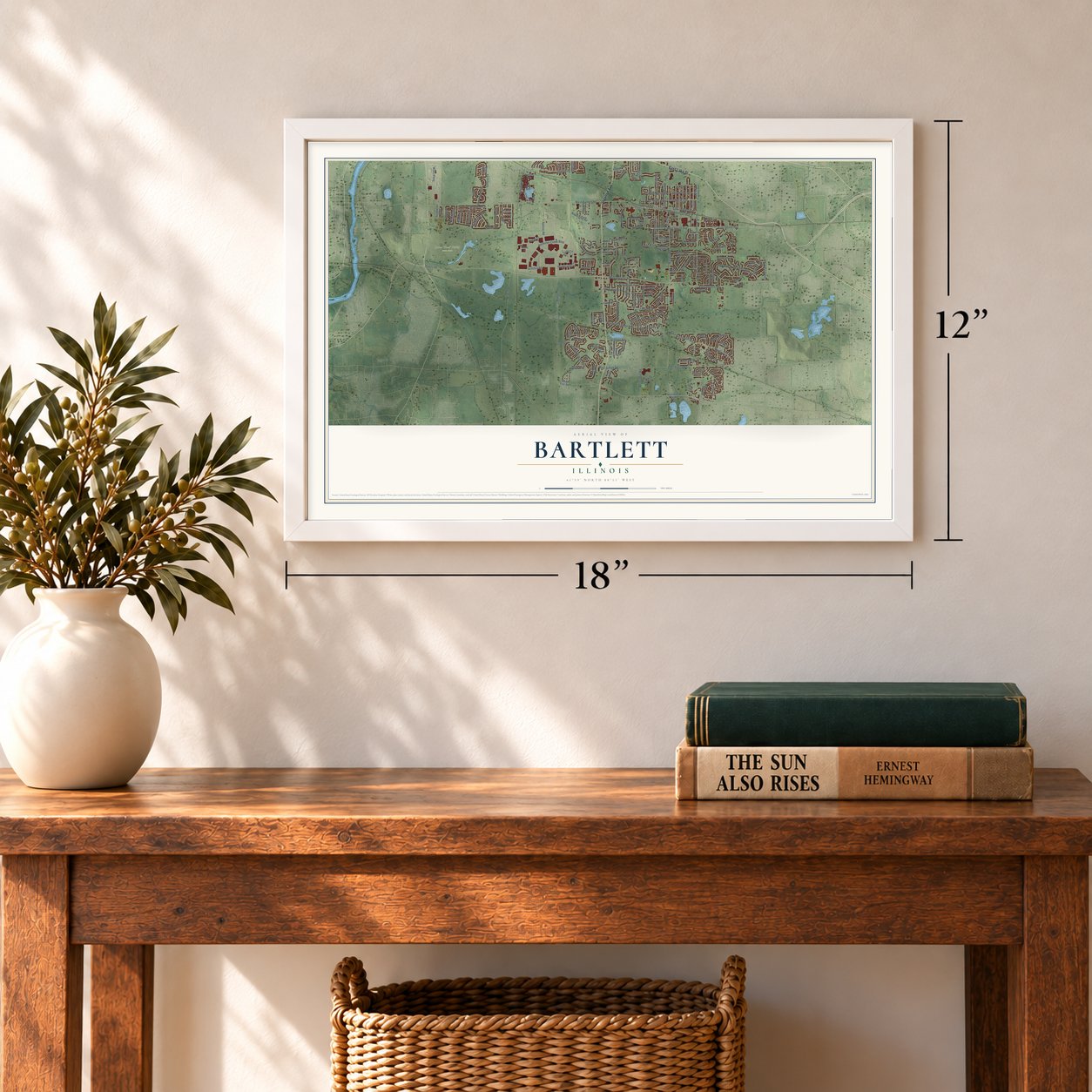
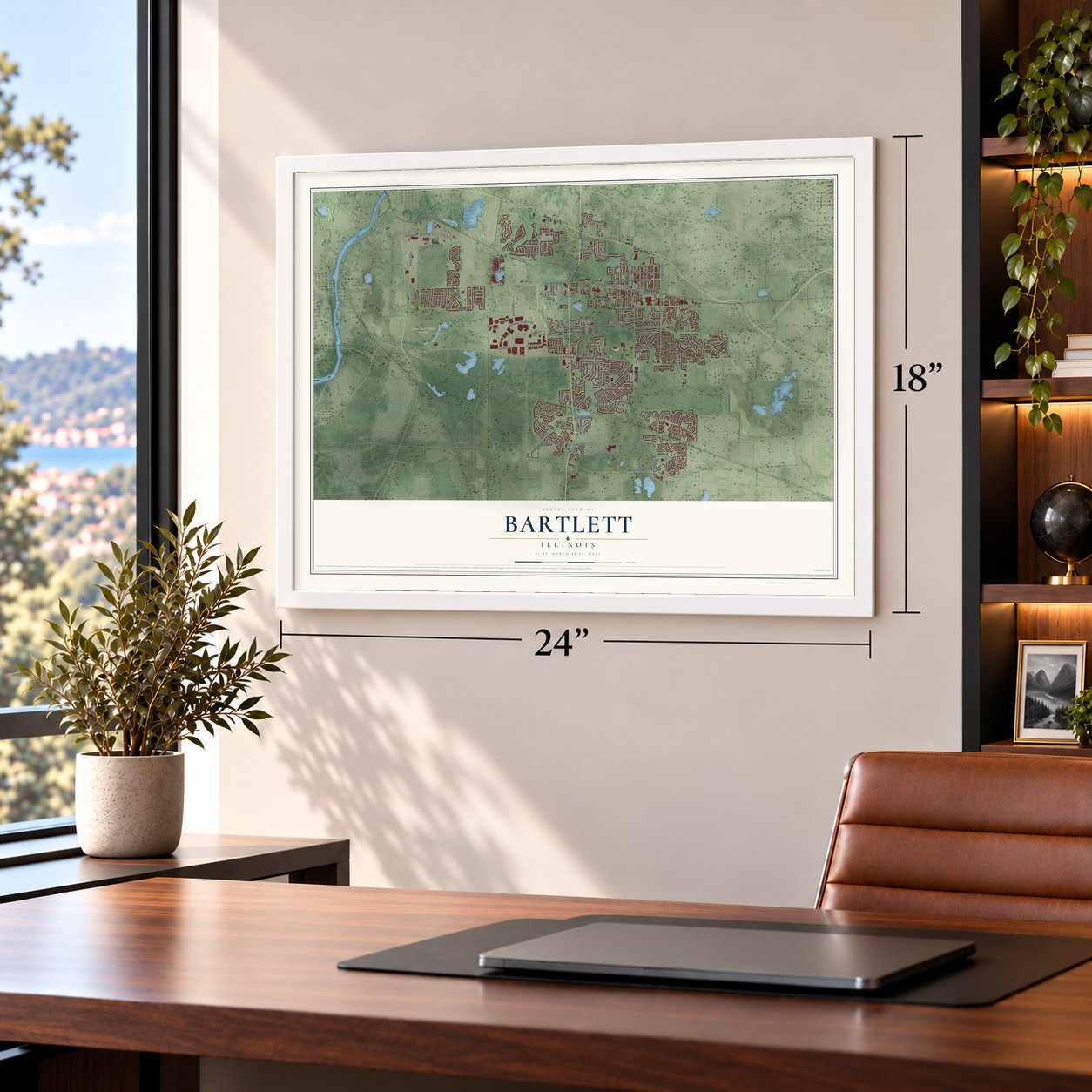
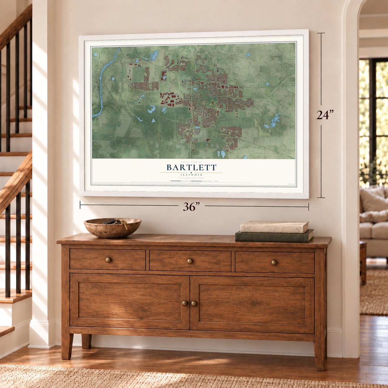
Bartlett, Illinois Map Art
A new map of Bartlett, Illinois, made in 2026 and printed to order on thick archival matte paper.
12" x 18" Archival Matte Print
A Map of Home. A Work of Art.
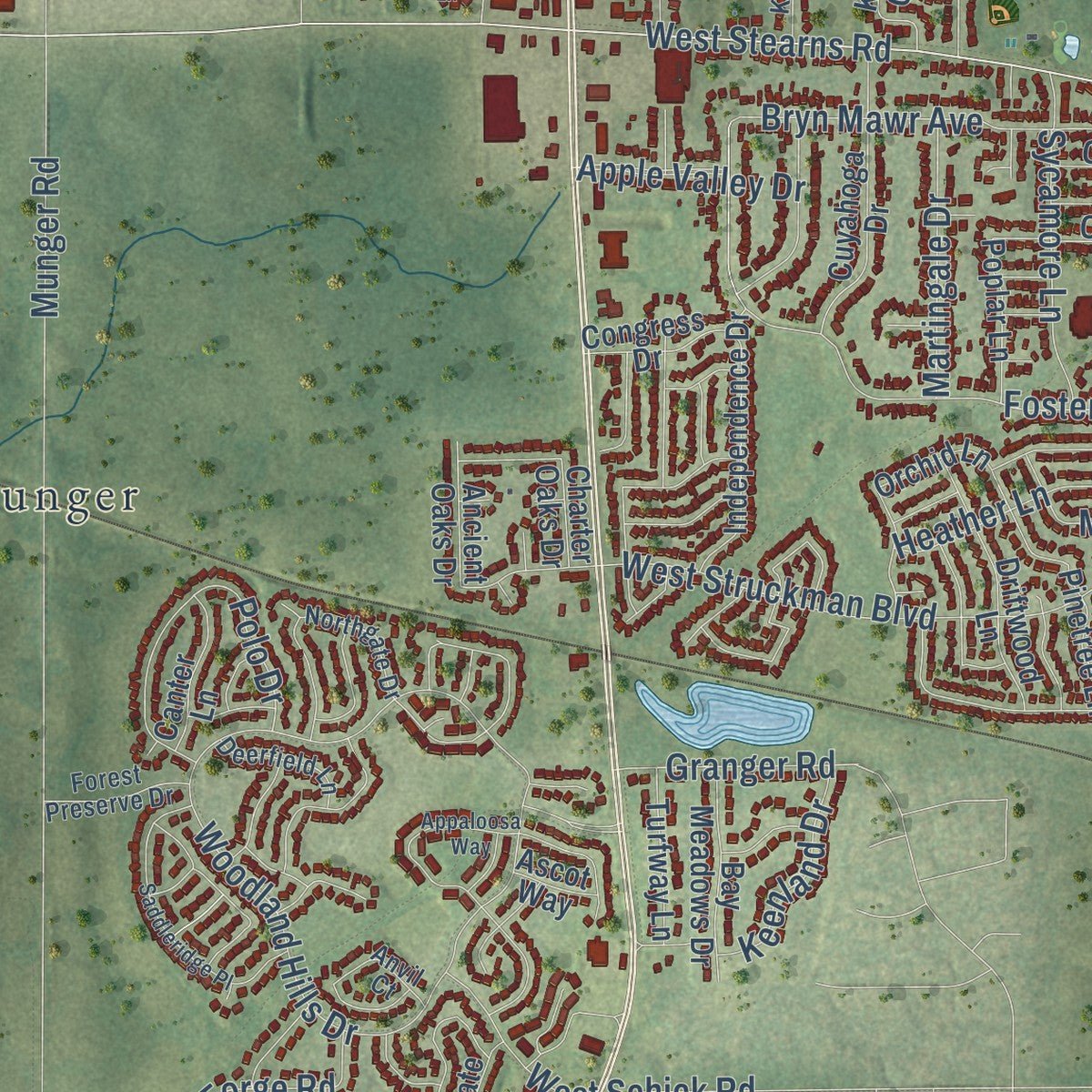
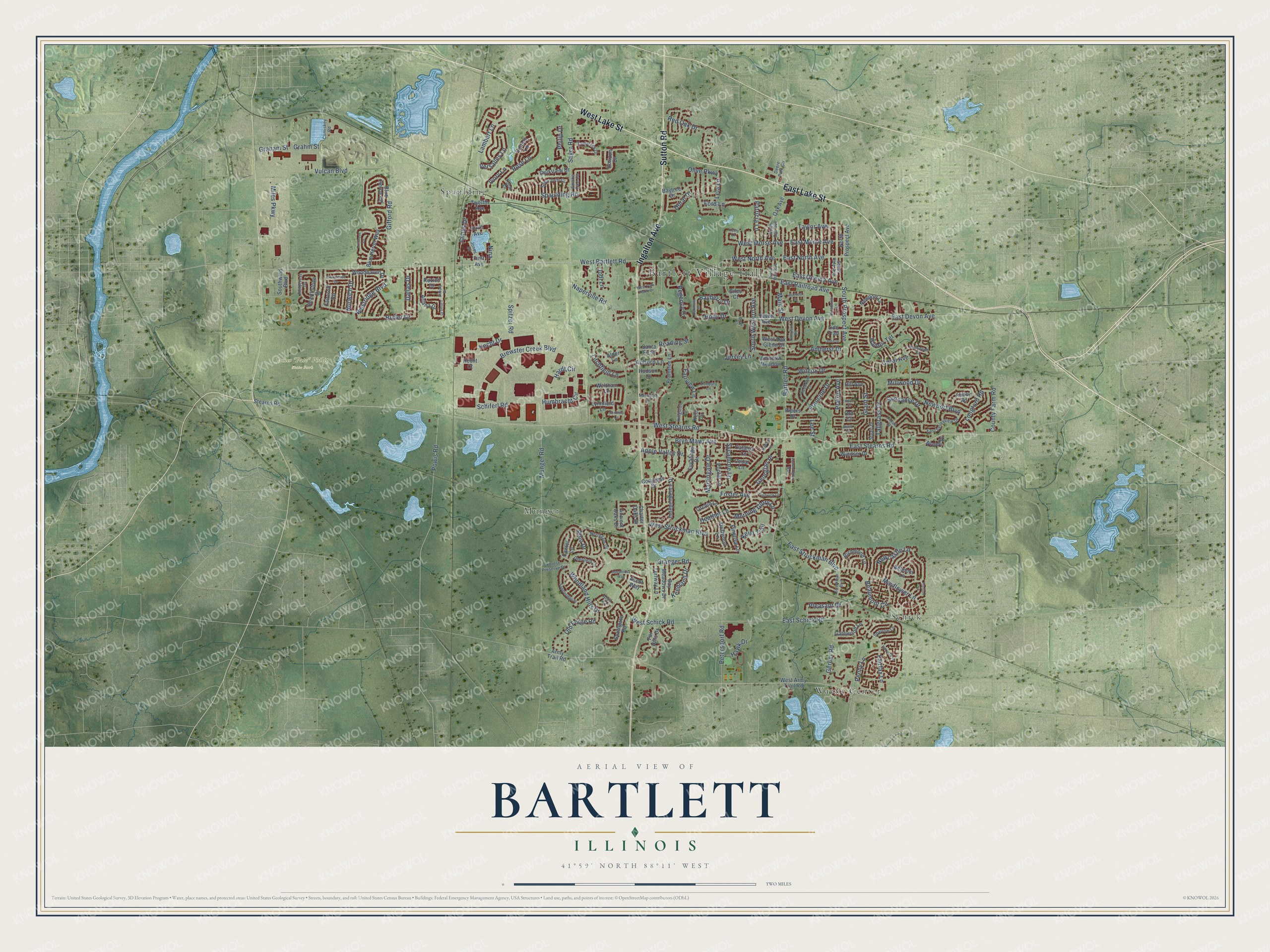
Explore Bartlett, Illinois from a whole new perspective. Created using aerial imagery and detailed geographic data, this map captures Bartlett building by building, with labeled streets, familiar landmarks, and shaded topographical relief that highlights the natural contours of the landscape.
Combining modern data with the timeless character of a vintage atlas, this map is just as interesting up close as it is beautiful on the wall. Whether you grew up in Bartlett, spent memorable years there, or call it home today, this unique map is a great way to celebrate a place that means something to you. Zoom in on the preview to look for your street, and then order a print to put your memories on the wall.
Three ways to hang it
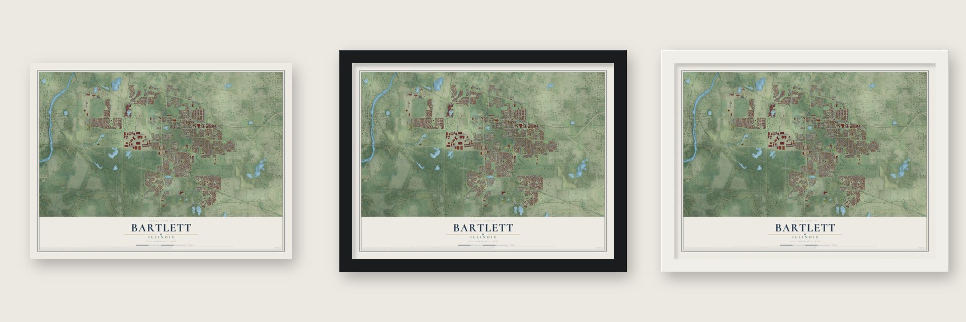
Unframed archival matte, a black wood frame or a white wood frame.
Up close
Geography Worth Displaying
This map was created using accurate cartographic data and authoritative geographic sources, including the U.S. Geological Survey and the Census Bureau. The map brings together terrain, waterways, roads, and building detail. The majority of the streets are labeled, houses are accurately depicted, and the topography is derived from government sources. Combining local data with carefully composed color and shading leads to this beautifully detailed Bartlett artwork for your wall.
Rather than simply showing street outlines, we’ve included as many of the street names as we could reasonably fit on the map while keeping their names legible. Zoom in on the high resolution preview to see exactly what’s on the map. We truly set out to create a statement piece for anyone who loves Bartlett. So whether it’s for you, or a gift for someone you love, we hope this map of Bartlett brings back fond memories.
Read the story behind this map of Bartlett, Illinois from 2026.

About Bartlett, Illinois
Bartlett is an Illinois village located mainly in Cook and DuPage counties, with a small western parcel in Kane County. Luther and Sophia Bartlett supported a local railroad stop, and the community took their name. The 2020 census recorded 41,105 residents.
- Depot Support, 1873In 1873, Luther Bartlett contributed money and half of his 40-acre woodlot toward construction of a train depot.
- Village IncorporationA petition for incorporation was filed on February 11, 1891, and the village incorporated on June 21, 1892.
- Depot MuseumThe original railroad station, built in 1873, now houses the Bartlett Depot Museum.
- Mandir and HaveliBAPS Shri Swaminarayan Mandir opened in 2004, adjoining the Haveli cultural center, which opened in 2000.
- Rail ConnectionsMilwaukee District West trains connect Bartlett station with Elgin's Big Timber Road station to the west and Chicago Union Station to the east.
Find your street
Names on the Bartlett map
Every name below is printed on this map. Look for your street, your school, the park where you played, or the pond down the road.
Places and landmarks6
- Bartlett Village Hall
- James "Pate" Philip State Park
- Munger
- Schick
- Spaulding
- Wayne Center
Streets and roads210
- East Lake Street
- West Lake Street
- Ingalton Avenue
- Sutton Road
- Sayer Road
- West Devon Avenue
- South Prospect Avenue
- East Devon Avenue
- East North Avenue
- West North Avenue
- Naperville Road
- Bayberry Drive
- Lee Street
- West Bartlett Road
- Fairfax Lane
- James Drive
- Bartlett Road
- Main Street
- Holly Drive
- Nina
- West Stearns Road
- East Stearns Road
- South Western Avenue
- Beaumont Circle
- Munger Road
- Spaulding Road
- Woodland Hills Drive
- West Struckman Boulevard
- Newport Boulevard
- East Schick Road
Show all 210 streets
- Westridge Boulevard
- Brewster Creek Boulevard
- West Schick Road
- Longford Road
- Foster Avenue
- Vulcan Boulevard
- Gifford Road
- Newcastle Lane
- Mayflower Lane
- Miles Parkway
- Bryn Mawr Avenue
- Coral Avenue
- Humbracht Circle
- Lambert Lane
- Butler Drive
- Spitzer Road
- Tallgrass Drive
- Rose Lane
- Morning Glory Lane
- East Struckman Boulevard
- Red Oak Drive
- Petersdorf Road
- East Railroad Avenue
- Polo Drive
- Harbor Terrace
- Old Forge Road
- Auburn Lane
- Sundance Drive
- Regency Drive
- Penny Lane
- Jervey Lane
- Keim Trail
- Gerber Road
- Heather Lane
- Schiferl Road
- Grant Street
- Sycamore Lane
- Norwich Drive
- Amherst Drive
- East Oneida Avenue
- East Morse Avenue
- Hecht Drive
- Powis Road
- Wilcox Drive
- Litchfield Lane
- Ford Lane
- Apple Valley Drive
- West Morse Avenue
- Hawk Drive
- Versalles Lane
- Philip Drive
- Martingale Drive
- Hardt Circle
- Dallas Drive
- Pleasant Drive
- Georgian Place
- Millwood Drive
- County Farm Road
- Taylor Avenue
- Granger Road
- Keenland Drive
- Fairview Lane
- Doral Drive
- Patricia Lane
- Francine Drive
- Lela Lane
- Graham Street
- Ivory Lane
- Reading Street
- Prairie Avenue
- Olive Parkway
- Grahm Street
- Jodi Lane
- Devon Avenue
- Oak Avenue
- Twelfth Avenue
- First Avenue
- West Army Trail Road
- Blue Heron Circle
- Braintree Lane
- Blue Heron Way
- Horizon Drive
- Cuyahoga Drive
- Independence Drive
- Pinetree Lane
- Kent Circle
- Driftwood Lane
- Golf View Drive
- Southwind Boulevard
- Hearthstone Drive
- Windsor Drive
- Newport Lane
- Far Hills Drive
- Southgate Road
- Richmond Lane
- Ariana Drive
- Bay Meadows Drive
- Lynnfield Lane
- Woodhaven Drive
- Baytree Drive
- Ruzich Drive
- Golfers Lane
- Turfway Lane
- Cedar Lane
- Gatewood Lane
- Catalpa Lane
- Pipers Drive
- North Prospect Avenue
- Stearns Road
- Army Trail Road
- Poplar Lane
- Canter Lane
- Alder Lane
- Congress Drive
- Waltham Lane
- Ancient Oaks Drive
- Sixth Avenue
- Abbey Road
- Amherst Meadow
- Orchid Lane
- Belmont Lane
- West Oak Glenn Drive
- Nicole Drive
- Faircroft Road
- Hudson Court
- Charter Oaks Drive
- Hill Avenue
- Santa Fe Street
- Lido Trail
- Hecht Court
- Ascot Way
- Giles Court
- Ord Court
- North Oak Avenue
- South Oak Avenue
- East Valleyview Drive
- Comiskey Road
- Northgate Drive
- Duxbury Lane
- Deere Park Circle
- Snow Drift Circle
- Kingston Lane
- Fieldcrest Drive
- Anvil Court
- Tamarack Drive
- Jones Drive
- Smoke Tree Circle
- Deerfield Lane
- Forest Preserve Drive
- Sparrow Lane
- South Hale Avenue
- Stuart Drive
- Norwood Lane
- Topaz Lane
- Oakmont Drive
- Saddleridge Place
- Shorewood Drive
- Lincoln Drive
- Primrose Lane
- Harvard Lane
- Appaloosa Way
- Balsam Lane
- Eastwick Lane
- Hummingbird Way
- Hillcrest Lane
- Providence Drive
- Tennyson Road
- Struckman Boulevard
- Trenton Lane
- Redwood Lane
- Broadmoor Lane
- John Drive
- West Park Place Drive
- Lillian Place
- Silbury Drive
- Foxboro Lane
- Drew Court
- Kathy Lane
- Ewell Court
- Hood Court
Names are listed as they appear on the printed map. Zoom into the product photos to find them.
The art of mapping a place
How This Map Was Made
Real places. Remarkable detail. Discover the layers that turn geographic data into a map of home.

The view from above
Aerial imagery reveals the character of the land: woodland, open fields, and the patterns of a place.

The shape of the land
Elevation data brings hills, valleys, and subtle changes in the landscape into view.

The details of home
Roads, waterways, and building footprints come together to make the map feel unmistakably local.

Geography becomes art
Considered color, shading, and typography bring the layers together in a map made for your wall.


Process illustrated with Mendon, Massachusetts. Aerial imagery: USDA NAIP. Terrain: USGS 3D Elevation Program. Map details and finished artwork: KNOWOL.
The Details
About This Print
Choose an archival matte print, or a black or white Ayous wood frame. The archival matte print is unframed.
Select your size and finish above to see the matching product image and price.
Materials & Craftsmanship
A contemporary map with the character of a classic atlas, printed on archival matte paper. Optional frames are made from Ayous wood.
Your printed map does not include the watermark shown in the full-map preview.
Shipping & Delivery
Free shipping within the United States. Every print is made to order in the USA.
Buying a gift? Add a note in your cart and we'll include it. We never put prices in the package.
Prints ship within 2 to 3 business days. Allow 7 to 10 days total from ordering for delivery. Timing may vary during holidays or periods of high order volume.
Read our shipping policy.
Returns and damaged prints
Each print is made to order. Change-of-mind refunds are not available after production.
If your print arrives damaged, misprinted or incorrect, contact support@knowol.com within 30 days of receiving it. Include your order number, photos and a description of the issue.
Read our full refund and replacement policy. For questions about your order, email support@knowol.com.
Find your town
Looking for another city?
Find a map of home in our Illinois collection, or any town in the country.
Nearby
Maps of towns near Bartlett
Know someone from one of these towns? Their map makes a great gift.
 Hanover Park
, Illinois
From $39.99See the map
 Carol Stream
, Illinois
From $39.99See the map
 Wayne
Wayne, Illinois
From $39.99See the map
More maps nearby: Streamwood, Bloomingdale, Roselle, West Chicago and Winfield.