
Search for another town



Free U.S. delivery 7 to 10 days after you order
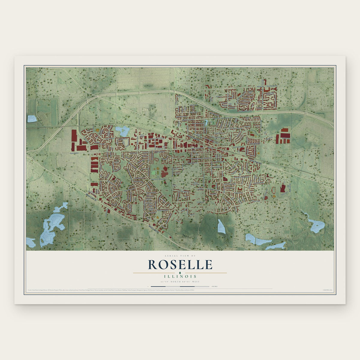
Roselle, Illinois Map Art
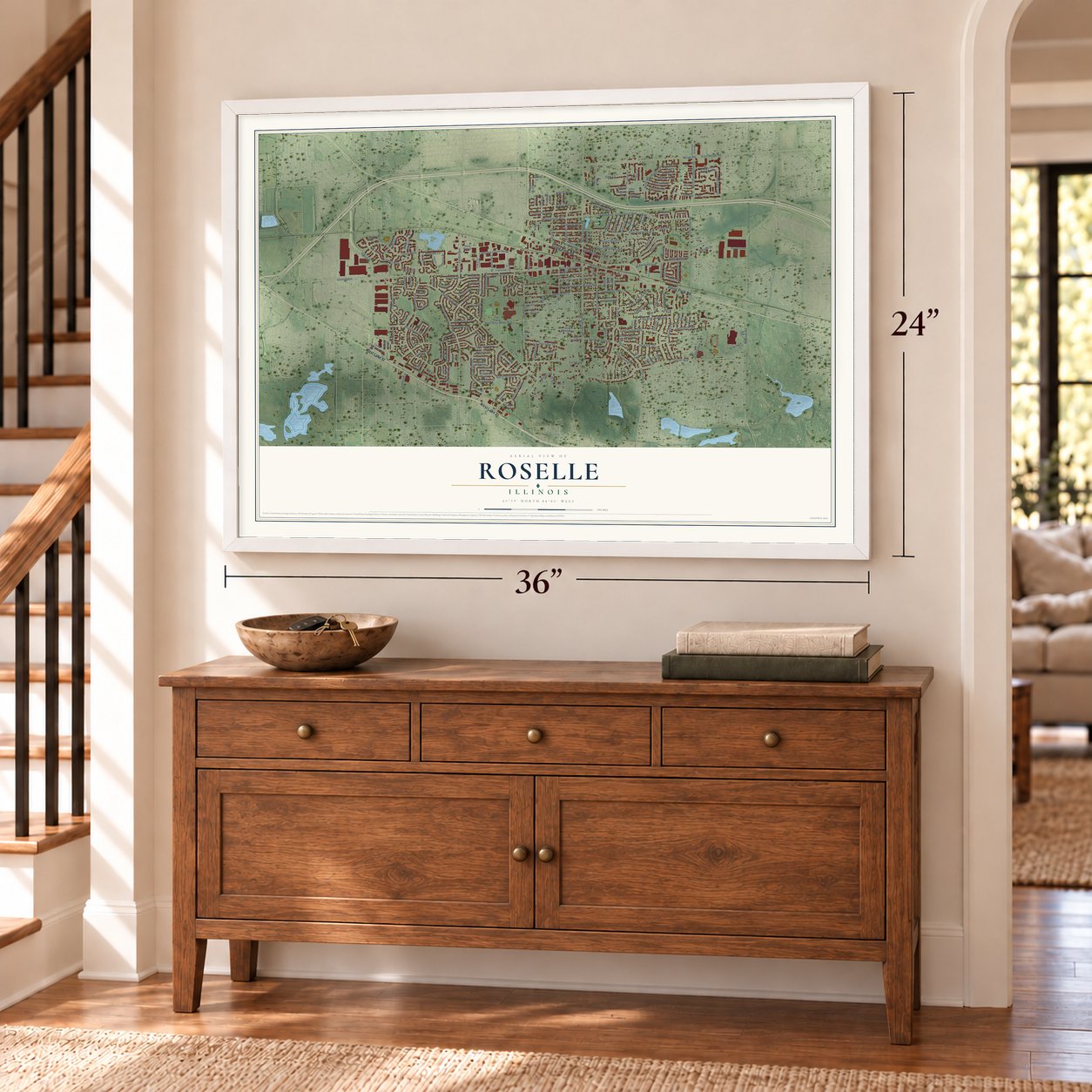
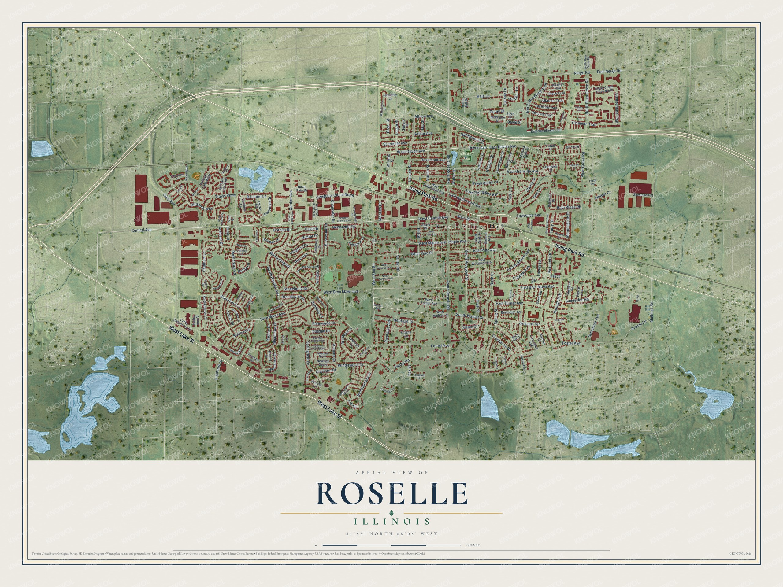
A new map of Roselle, Illinois, made in 2026 and printed to order on thick archival matte paper.
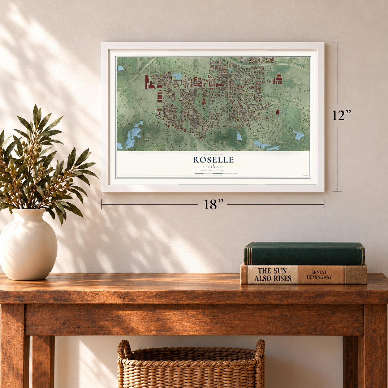
12" x 18" Archival Matte Print
A Map of Home. A Work of Art.
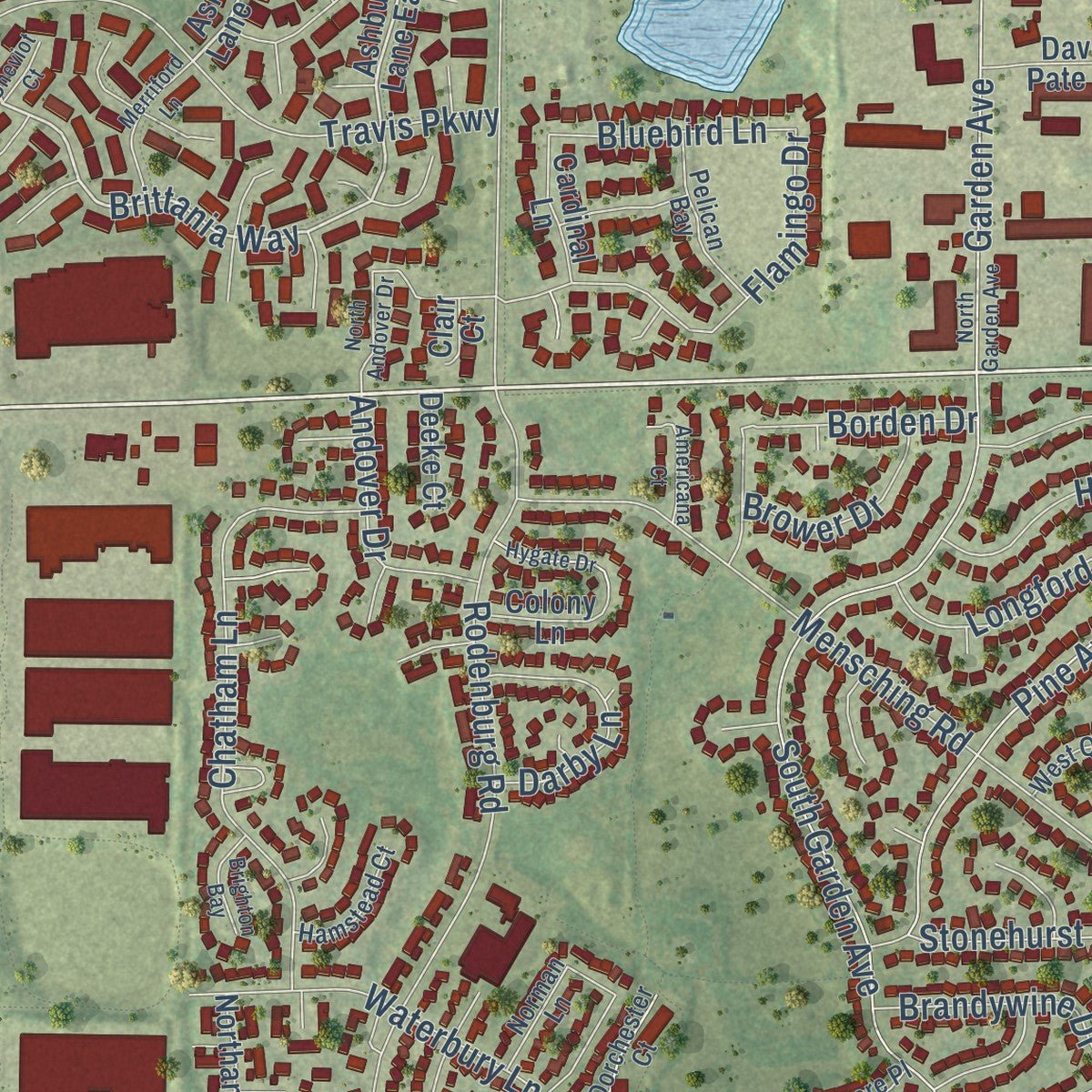
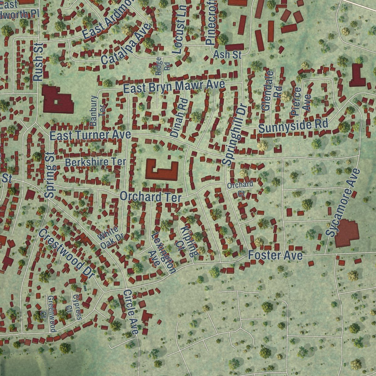
Explore Roselle, Illinois from a whole new perspective. Created using aerial imagery and detailed geographic data, this map captures Roselle building by building, with labeled streets, familiar landmarks, and shaded topographical relief that highlights the natural contours of the landscape.
Combining modern data with the timeless character of a vintage atlas, this map is just as interesting up close as it is beautiful on the wall. Whether you grew up in Roselle, spent memorable years there, or call it home today, this unique map is a great way to celebrate a place that means something to you. Zoom in on the preview to look for your street, and then order a print to put your memories on the wall.
Three ways to hang it
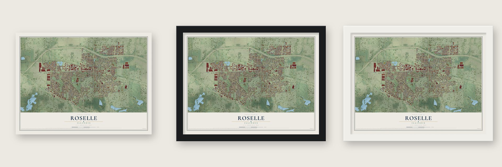
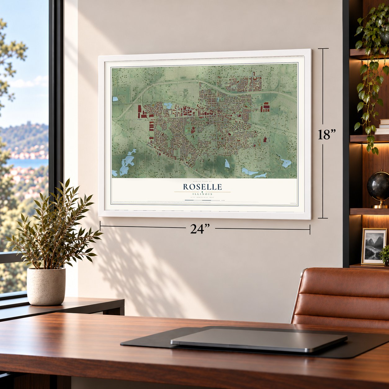
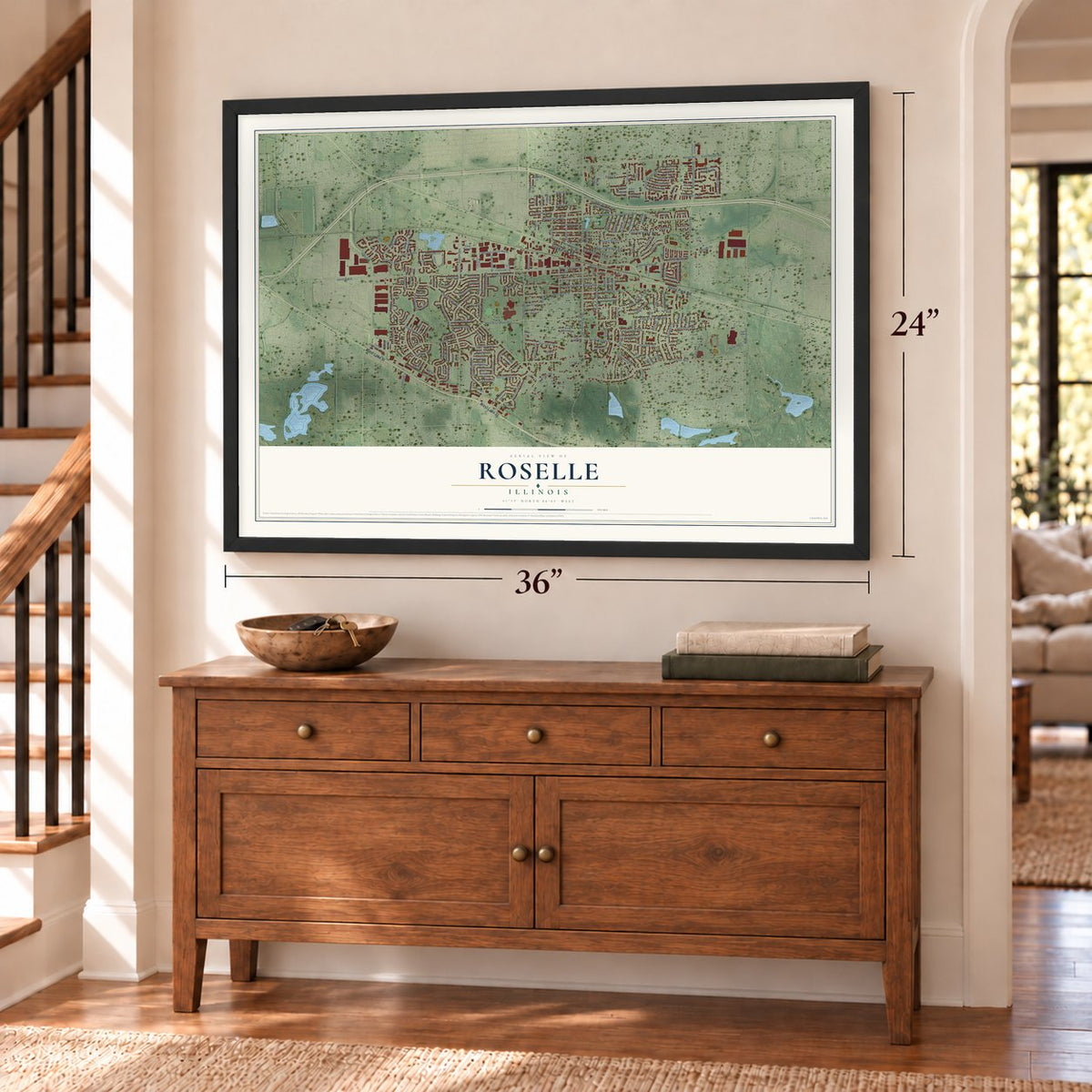
Unframed archival matte, a black wood frame or a white wood frame.
Up close
Geography Worth Displaying
This map was created using accurate cartographic data and authoritative geographic sources, including the U.S. Geological Survey and the Census Bureau. The map brings together terrain, waterways, roads, and building detail. The majority of the streets are labeled, houses are accurately depicted, and the topography is derived from government sources. Combining local data with carefully composed color and shading leads to this beautifully detailed Roselle artwork for your wall.
Rather than simply showing street outlines, we’ve included as many of the street names as we could reasonably fit on the map while keeping their names legible. Zoom in on the high resolution preview to see exactly what’s on the map. We truly set out to create a statement piece for anyone who loves Roselle. So whether it’s for you, or a gift for someone you love, we hope this map of Roselle brings back fond memories.
Read the story behind this map of Roselle, Illinois from 2026.

About Roselle, Illinois
Roselle is a village of 22,897 people in DuPage County, in the suburbs west of Chicago. Settlers began arriving in the early 1830s and made homes next to the Potawatomi people, buying government land for around $1.25 an acre. Deacon Elijah Hough, his wife and their children, including a son named Rosell, reached the Bloomingdale area in 1837.
Rosell Hough returned in 1868, at 48, after years as a Chicago alderman and businessman. Local farms were growing corn and flax by then, so he opened the Illinois Linen Company near what is now the corner of Roselle Road and Irving Park Road. A train schedule misprinted the stop's name, and Roselle stuck. Bernard Beck platted and recorded the village on October 5, 1874, and it was incorporated in 1922.
- A railroad and a rumorRosell Hough was also president of the Chicago and Pacific Railroad Company. People have long said he paid to change a land survey so the line would run through Roselle, Itasca and Wood Dale rather than Addison and Bloomingdale. The tracks did come through Roselle, and the train stop drew commuters who worked in Chicago and nearby towns.
- Lynfred Winery since 1979Fred and Lynn Koehler started Lynfred Winery in Roselle in 1979 as a hobby for their retirement. It grew into a winery that makes over 120 varietals and more than 50,000 cases of wine each year.
- A sister city in PolandRoselle's Sister Cities Commission put up a Peace Pole in 2003. A matching pole went up in Bochnia, Poland, in 2004, and that completed the partnership between the two towns.
- Olympic gold in 1984Track cyclist Mark Gorski went to Lake Park High School and won a gold medal at the 1984 Olympics in Los Angeles. Pitcher Don Schulze, born in Roselle, threw for the Chicago Cubs in 1983 and 1984. Don Sunderlage, also born here, played point guard for the Milwaukee Hawks and Minneapolis Lakers and was named an All-Star.
Find your street
Names on the Roselle map
Every name below is printed on this map. Look for your street, your school, the park where you played, or the pond down the road.
Places and landmarks2
- Roselle Village Hall
- Turner Park
Streets and roads230
- West Lake Street
- Irving Park Road
- West Central Avenue
- West End Road
- East Devon Avenue
- Devon Avenue
- West Devon Avenue
- Central Avenue
- Brittania Way
- Logan Street
- Main Street
- East Hattendorf Avenue
- East Bryn Mawr Avenue
- Rodenburg Road
- South Roselle Road
- Garden Avenue
- Mensching Road
- West Bryn Mawr Avenue
- Bryn Mawr Avenue
- Foster Avenue
- Gary Avenue
- East Granville Avenue
- East Nerge Road
- Nerge Road
- South Garden Avenue
- West Pine Street
- North Roselle Road
- South Walnut Street
- Maple Avenue
- Springhill Drive
Show all 230 streets
- Pinecroft Drive
- Spring Street
- Rush Street
- South Prospect Street
- East Ardmore Avenue
- Forest Avenue
- Travis Parkway
- Sycamore Avenue
- Summerfield Drive
- Rosedale Avenue
- Springfield Drive
- East Turner Avenue
- East Pine Avenue
- Chatham Lane
- Edenwood Drive
- Lincoln Street
- Plum Grove Road
- Lawrence Avenue
- North Plum Grove Road
- Schreiber Avenue
- North Woodfield Trail
- East Thorndale Avenue
- Larson Lane
- Marion Street
- Picton Road
- Hill Street
- Orchard Terrace
- Pine Avenue
- Arthur Avenue
- Sunnyside Road
- Waterbury Lane
- Jennifer Lane
- Yosemite Trail
- Heritage Drive
- Locust Lane
- West Maple Avenue
- Cherry Street
- Park Lane
- Congress Circle North
- Oak Street
- Medinah Road
- Hunter Drive
- Flamingo Drive
- Middleton Drive
- Borden Drive
- Park Street
- Springwood Drive
- Albion Avenue
- Longford Drive
- Valley Road
- Catalpa Avenue
- Rosewood Drive
- Radnor Drive
- Siems Circle
- Rosemont Avenue
- Chancelor Drive
- Dee Lane
- Monaco Drive
- Newcastle Drive
- Town Acres Lane
- Autumn Drive
- Glacier Trail
- Cumberland Trail
- Woodside Drive
- Winterwood Drive
- Brandywine Drive
- Dover Drive
- Windsor Drive
- Andover Drive
- Acacia Lane
- High Ridge Road
- Stonehurst Drive
- Crestwood Drive
- Stafford Drive
- Bluebird Lane
- Case Drive
- Hale Lane
- Carey Drive
- Brower Drive
- Hillside Drive
- Morningside Drive
- Old Farm Drive
- Grant Street
- Fall Circle
- Papworth Street
- Nassau Drive
- Avebury Lane
- Juniper Drive
- Terry Drive
- Darby Lane
- David Street
- Walter Drive
- Ashbury Lane West
- Ashbury Lane East
- West Turner Avenue
- East Woodfield Trail
- Kennedy Lane
- East Woodworth Place
- Howard Avenue
- Northampton Lane
- West Hattendorf Avenue
- Claria Drive
- Berwick Place
- Glendale Road
- Indian Hill Drive
- Sequoia Trail
- Colby Commerce Drive
- Red Maple Lane
- Carlsbad Trail
- South Park Street
- Circle Drive
- Lexington Avenue
- Forum Drive
- Countryside Drive
- Ambleside Drive
- Berkshire Terrace
- Ventura Club Drive
- Bryce Trail
- Cross Creek Drive North
- Prescott Drive
- Cardinal Lane
- Daisy Lane
- Dave Pate Drive
- Williams Street
- Lakeside Drive
- Ash Street
- McWalter Drive
- Stevenson Court
- Leawood Drive
- Richmond Drive
- Hemlock Lane
- Acadia Trail
- Meade Lane
- Newport South
- Dinah Road
- Colony Lane
- May Street
- Seward Street
- Lakeview Court
- Bobby Ann Court
- Ryan Way
- Portwine Drive
- Circle Avenue
- Pierce Avenue
- West Walnut Court
- Sunrise Lane
- Kipling Court
- Deeke Court
- Tiffany Lane
- Eden Court
- Clair Court
- Walnut Avenue
- Clearwater West
- White Oak Drive
- Congress Circle West
- Presidential Drive
- Dorchester Court
- West Quincy Drive
- Glenmore Place
- Pelican Bay
- Norman Lane
- Rose Drive East
- Washington Street
- Hampton Lane
- Newport North
- Country Lane South
- Country Lane North
- South Plum Grove Road
- Rosner Drive
- Hamstead Court
- Glendale Terrace
- Thornfield Lane
- Banbury Terrace
- Sunrise Place
- Crest Avenue
- Ashbury Court
- Leo Court
- Yosemite Court
- North Garden Avenue
- Ridgefield Drive
- West Elm Avenue
- Congress Circle South
- Merriford Lane
- West Ardmore Avenue
- West Woodworth Place
- Goodridge Terrace
- Rose Drive West
- Hygate Drive
- Americana Court
- North Andover Drive
- Spring Court
- Parkview Court
- Greenwood Court
- Brighton Bay
- Brentwood Court
- Oregon Trail
- Cypress Court
- Ridge Road
- Orchard Court
- Cheviot Court
Names are listed as they appear on the printed map. Zoom into the product photos to find them.
The art of mapping a place
How This Map Was Made
Real places. Remarkable detail. Discover the layers that turn geographic data into a map of home.

The view from above
Aerial imagery reveals the character of the land: woodland, open fields, and the patterns of a place.

The shape of the land
Elevation data brings hills, valleys, and subtle changes in the landscape into view.

The details of home
Roads, waterways, and building footprints come together to make the map feel unmistakably local.

Geography becomes art
Considered color, shading, and typography bring the layers together in a map made for your wall.


Process illustrated with Mendon, Massachusetts. Aerial imagery: USDA NAIP. Terrain: USGS 3D Elevation Program. Map details and finished artwork: KNOWOL.
The Details
About This Print
Choose an archival matte print, or a black or white Ayous wood frame. The archival matte print is unframed.
Select your size and finish above to see the matching product image and price.
Materials & Craftsmanship
A contemporary map with the character of a classic atlas, printed on archival matte paper. Optional frames are made from Ayous wood.
Your printed map does not include the watermark shown in the full-map preview.
Shipping & Delivery
Free shipping within the United States. Every print is made to order in the USA.
Buying a gift? Add a note in your cart and we'll include it. We never put prices in the package.
Prints ship within 2 to 3 business days. Allow 7 to 10 days total from ordering for delivery. Timing may vary during holidays or periods of high order volume.
Read our shipping policy.
Returns and damaged prints
Each print is made to order. Change-of-mind refunds are not available after production.
If your print arrives damaged, misprinted or incorrect, contact support@knowol.com within 30 days of receiving it. Include your order number, photos and a description of the issue.
Read our full refund and replacement policy. For questions about your order, email support@knowol.com.
Find your town
Looking for another city?
Find a map of home in our Illinois collection, or any town in the country.
Nearby
Maps of towns near Roselle
Know someone from one of these towns? Their map makes a great gift.
 Bloomingdale
, Illinois
From $39.99See the map
 Hanover Park
, Illinois
From $39.99See the map
 Schaumburg
, Illinois
From $39.99See the map
More maps nearby: Itasca, Glendale Heights, Carol Stream, Bartlett and Elk Grove Village.