
Search for another town





Free U.S. delivery 7 to 10 days after you order
Glendale Heights, Illinois Map Art
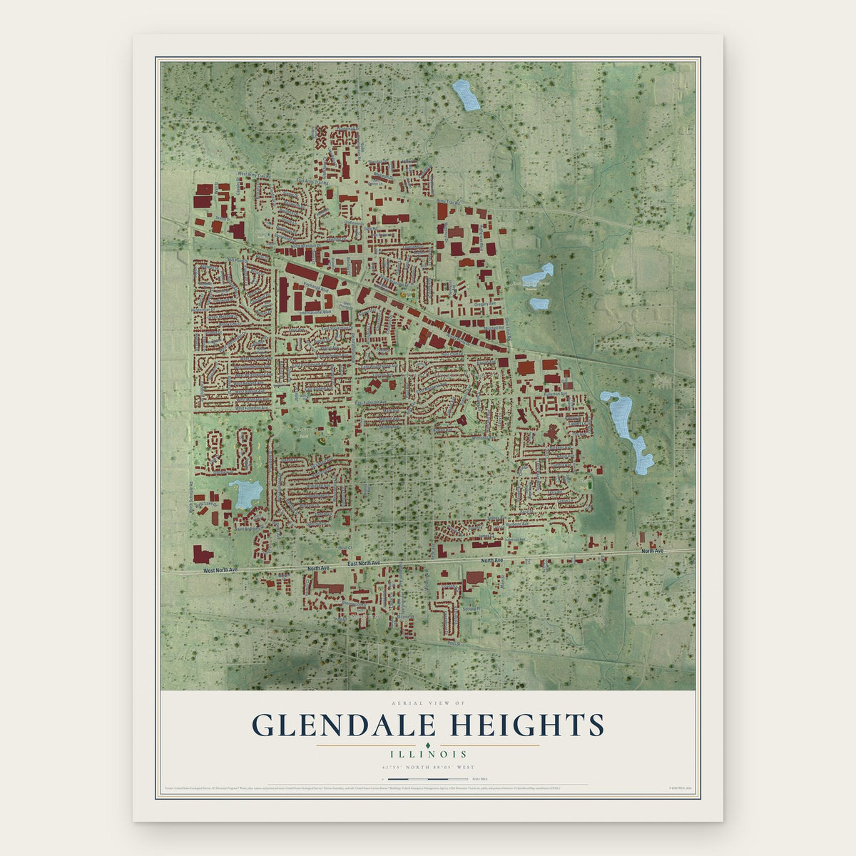
A new map of Glendale Heights, Illinois, made in 2026 and printed to order on thick archival matte paper.
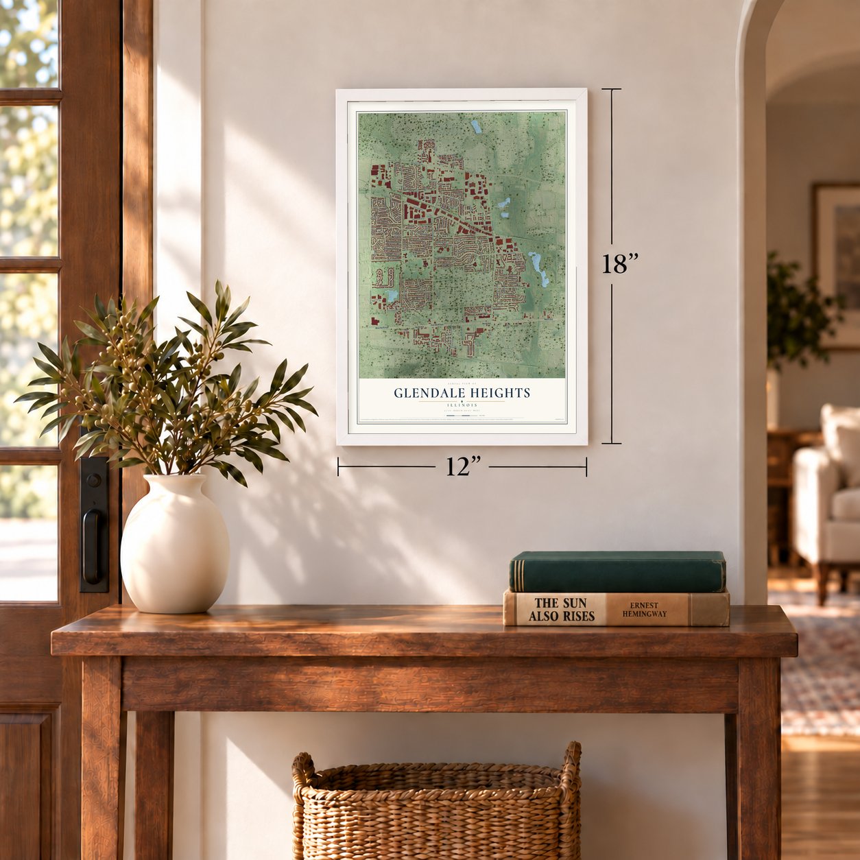
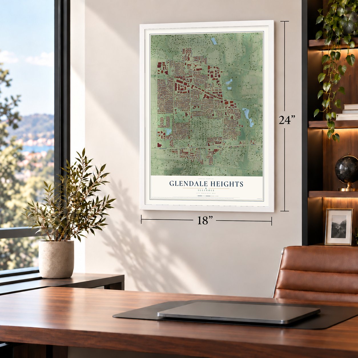
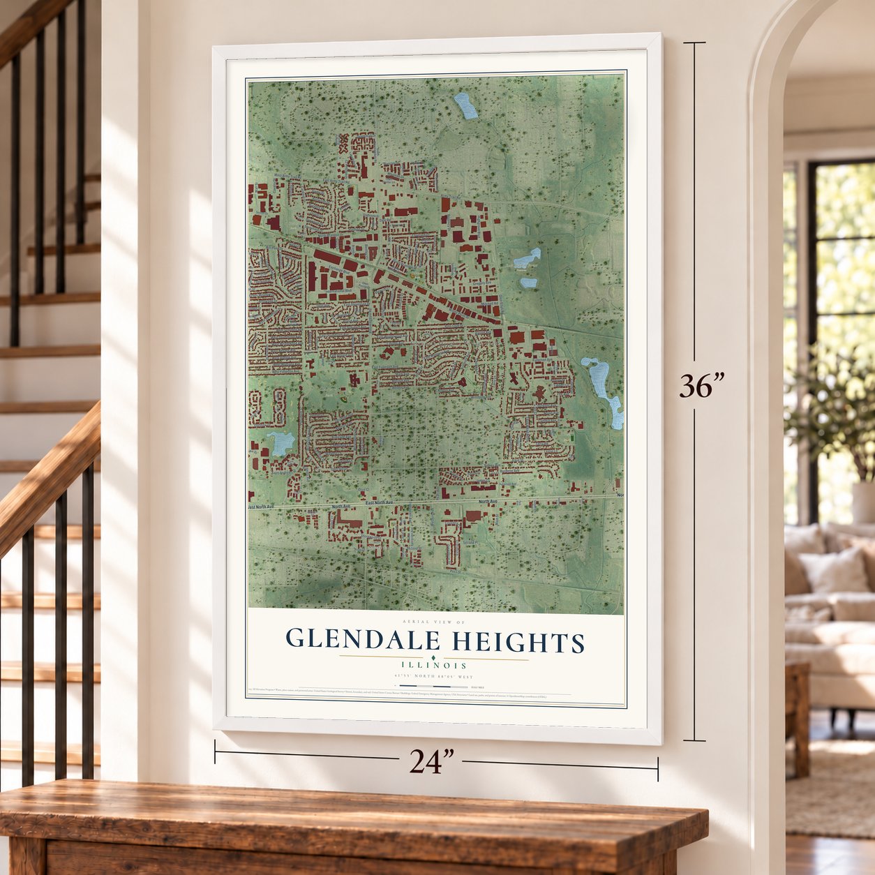
12" x 18" Archival Matte Print
A Map of Home. A Work of Art.
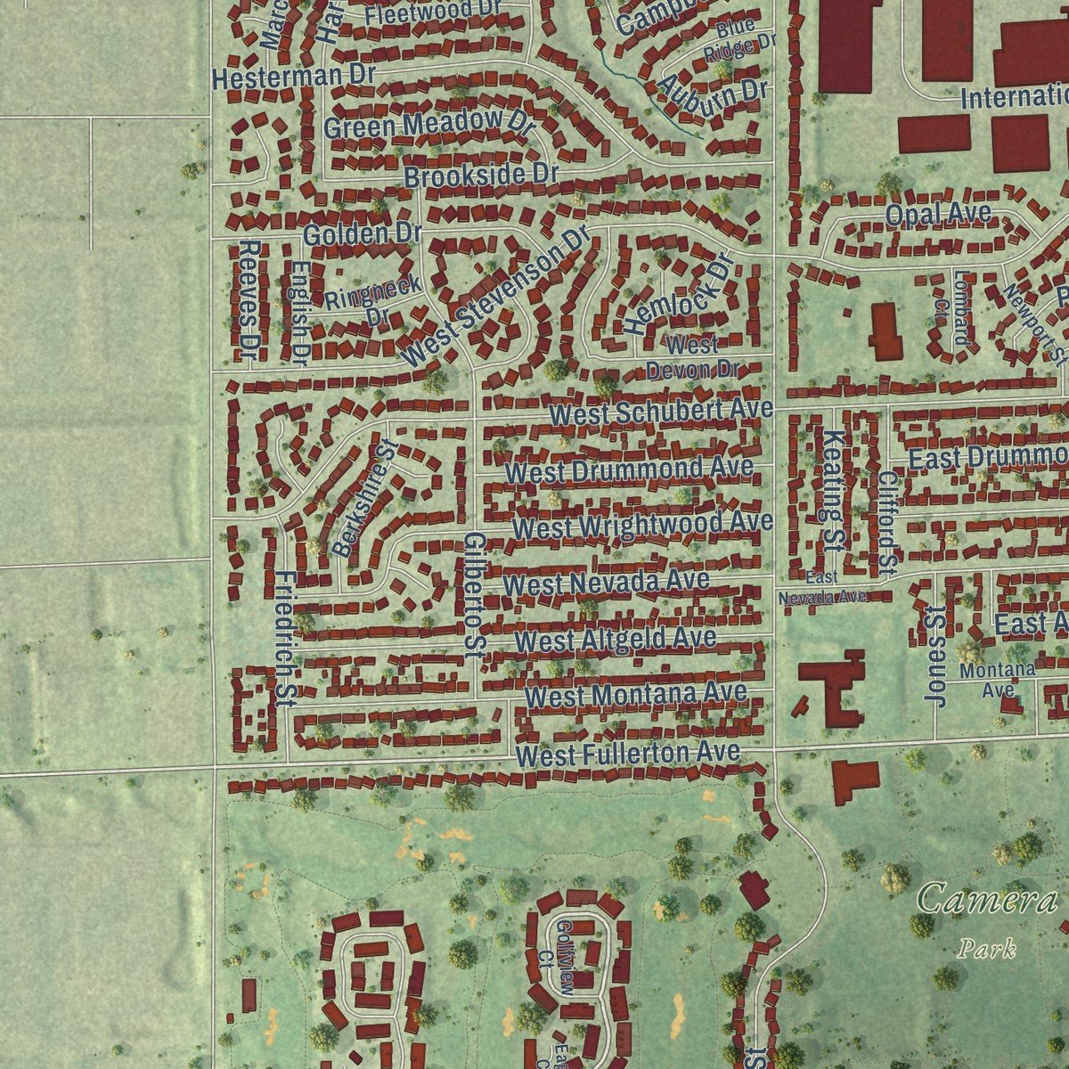
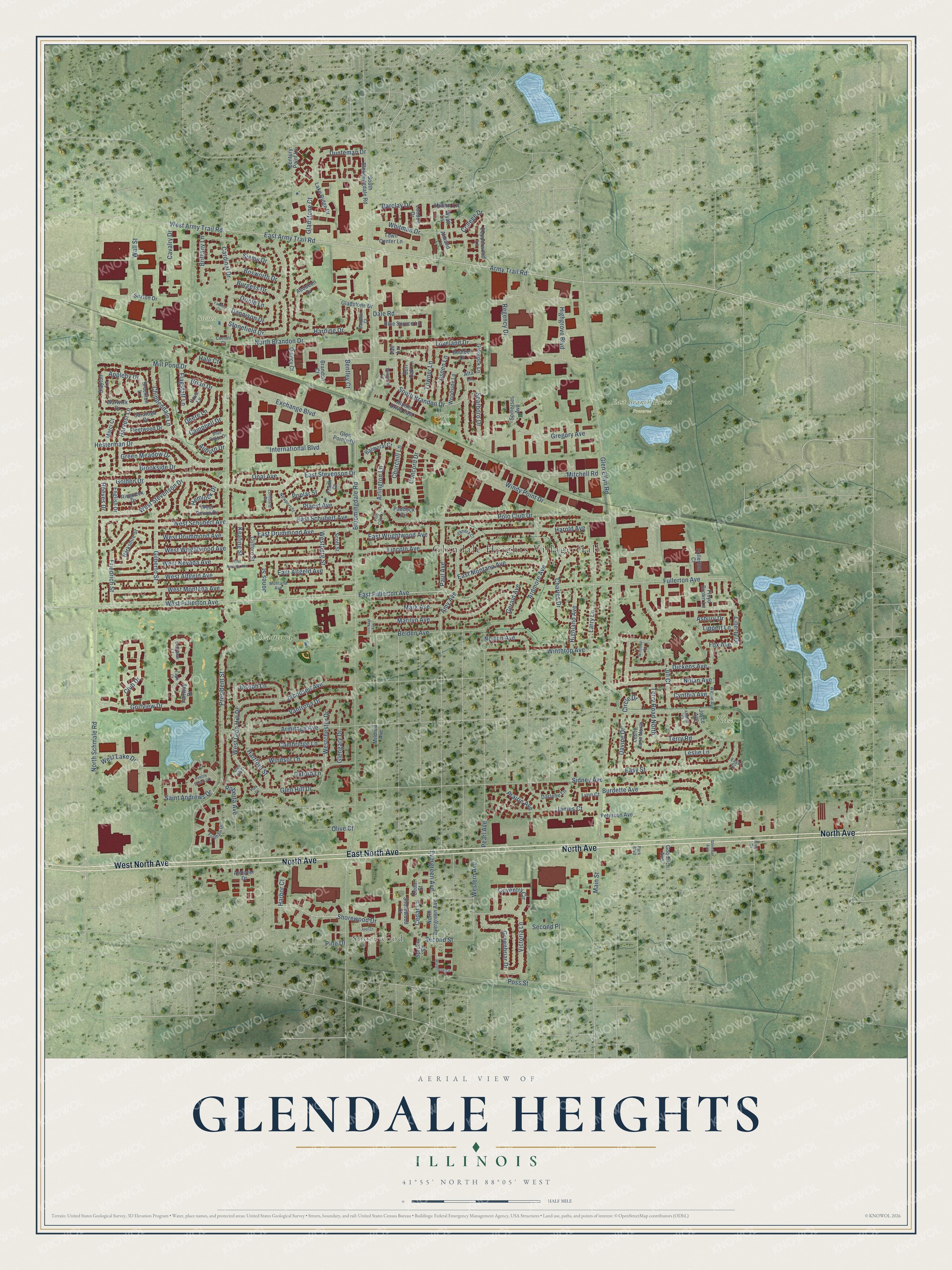
Explore Glendale Heights, Illinois from a whole new perspective. Created using aerial imagery and detailed geographic data, this map captures Glendale Heights building by building, with labeled streets, familiar landmarks, and shaded topographical relief that highlights the natural contours of the landscape.
Combining modern data with the timeless character of a vintage atlas, this map is just as interesting up close as it is beautiful on the wall. Whether you grew up in Glendale Heights, spent memorable years there, or call it home today, this unique map is a great way to celebrate a place that means something to you. Zoom in on the preview to look for your street, and then order a print to put your memories on the wall.
Three ways to hang it
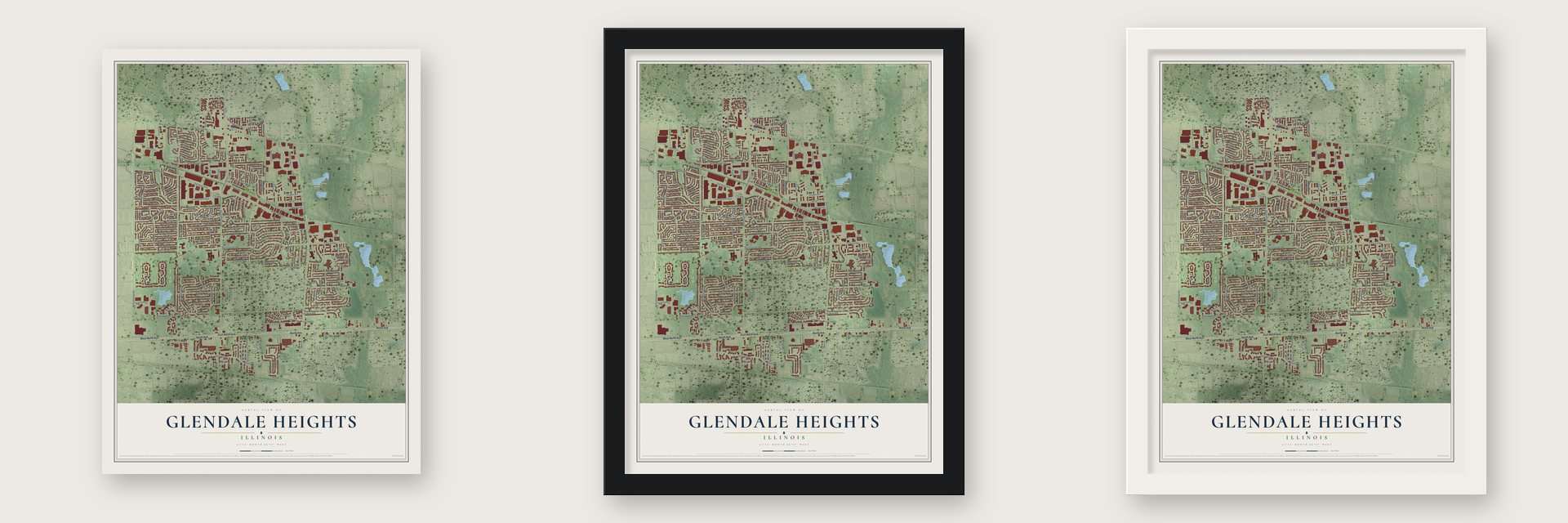
Unframed archival matte, a black wood frame or a white wood frame.
Up close
Geography Worth Displaying
This map was created using accurate cartographic data and authoritative geographic sources, including the U.S. Geological Survey and the Census Bureau. The map brings together terrain, waterways, roads, and building detail. The majority of the streets are labeled, houses are accurately depicted, and the topography is derived from government sources. Combining local data with carefully composed color and shading leads to this beautifully detailed Glendale Heights artwork for your wall.
Rather than simply showing street outlines, we’ve included as many of the street names as we could reasonably fit on the map while keeping their names legible. Zoom in on the high resolution preview to see exactly what’s on the map. We truly set out to create a statement piece for anyone who loves Glendale Heights. So whether it’s for you, or a gift for someone you love, we hope this map of Glendale Heights brings back fond memories.
Read the story behind this map of Glendale Heights, Illinois from 2026.

About Glendale Heights, Illinois
Glendale Heights is a village of 33,176 people in DuPage County, a far west suburb of Chicago made up almost entirely of homes. Until the 1950s this was a small stretch of farms that got its mail through the Glen Ellyn post office, and in 1959 only 104 people lived here.
Things changed in 1958, when Charles and Harold Reskin of Midland Enterprises bought two farms north of North Avenue along Glen Ellyn Road and began building houses. The first homes went up near Fullerton Avenue, on Glen Ellyn Road and Larry Lane. A petition to incorporate was filed on June 16, 1959, the village was incorporated on July 13, and voters held the first village election on August 2.
- Glendale, then HeightsThe founders picked the name Glendale because the village sat between Glen Ellyn and Bloomingdale. A small town in southern Illinois already went by Glendale, so in March 1960 the village added Heights. The word describes the land itself: Glendale Heights straddles the Valparaiso Moraine, and its ground rises and falls by about 100 feet.
- Charles G. Reskin SchoolThe Reskin name stayed with the village after the first houses were finished. Marquardt School District 15, which serves the eastern part of Glendale Heights, counts Charles G. Reskin School among its four elementary schools. In District 16, the old Queen Bee school that gave the district its name no longer holds classes, but its building still stands on Bloomingdale Road.
- Billy Corgan's hometownBilly Corgan, who sang and played guitar for the Smashing Pumpkins, spent his childhood in Glendale Heights.
Find your street
Names on the Glendale Heights map
Every name below is printed on this map. Look for your street, your school, the park where you played, or the pond down the road.
Places and landmarks7
- Glendale Heights Village Hall
- Shorewood
- Camera Park
- East Branch Forest Preserve
- Siems Park
- Nazos Park
- Ollman Park
Streets and roads231
- North Avenue
- East North Avenue
- West North Avenue
- East Fullerton Avenue
- Shorewood Drive
- Golfview Drive
- West Fullerton Avenue
- South Brandon Drive
- Dunteman Drive
- Army Trail Road
- Fullerton Avenue
- Liberty Drive
- North Brandon Drive
- Highland Avenue
- West Army Trail Road
- Bloomingdale Road
- Glen Ellyn Road
- President Street
- North Schmale Road
- East Army Trail Road
- Armitage Avenue
- Lincoln Avenue
- Windy Point Drive
- Glen Hill Drive
- Polo Club Drive
- Regency Drive
- East Altgeld Avenue
- Gregory Avenue
- Winthrop Avenue
- Marilyn Avenue
Show all 231 streets
- Mark Avenue
- East Montana Avenue
- Burdette Avenue
- Belden Avenue
- West Stevenson Drive
- East Wrightwood Avenue
- West Schubert Avenue
- Hesterman Drive
- Mill Pond Drive
- Paul Avenue
- East Schubert Avenue
- Sidney Avenue
- International Boulevard
- Jill Court
- Easy Street
- Whitman Drive
- Exchange Boulevard
- Gilberto Street
- Ardmore Avenue
- East Stevenson Drive
- West Wrightwood Avenue
- Jacobsen Avenue
- James Court
- Oriole Lane
- West Glen Hill Drive
- Cardinal Drive
- West Altgeld Avenue
- West Montana Avenue
- Wall Street
- Charles Drive
- Harvest Lane
- Club Drive
- Larry Lane
- Vantroba Drive
- East Drummond Avenue
- Davine Drive
- Nolan Avenue
- Second Place
- Evergreen Avenue
- Highgrove Boulevard
- Terry Road
- Leslie Lane
- Stonefield Drive
- Amy Avenue
- Hartford Street
- Dickens Avenue
- Loveland Drive
- Chippendale Lane
- Western Avenue
- Golden Drive
- Victoria Lane
- Cambridge Lane
- Coventry Circle
- Greenbriar Drive
- Brookside Drive
- Concord Drive
- Westchester Drive
- West Drummond Avenue
- Cedar Lane
- West Nevada Avenue
- Windsor Lane
- Prairie Avenue
- Pearl Avenue
- Placid Avenue
- Mitchell Road
- Second Street
- Harding Drive
- Main Street
- West Lake Drive
- Cavalry Drive
- Green Meadow Drive
- Opal Avenue
- Siems Drive
- Friedrich Street
- Dale Road
- Scarboro Drive
- Towner Lane
- Bosworth Drive
- Dennison Drive
- Lippert Lane
- Joseph Lane
- Terry Road North
- Norton Avenue
- Arlington Lane
- Burgess Drive
- Oxford Lane
- Westberg Street
- Campbell Drive
- Poplar Street
- Saint Andrews Drive
- Brittany Lane
- Churchill Lane
- Deere Lane
- Aspen Lane
- Gladstone Court
- Brian Drive
- Gerald Avenue
- Cynthia Avenue
- Roberta Avenue
- Flagstaff Lane
- Keating Street
- Jones Street
- Hemlock Drive
- Poss Street
- Circle Drive
- Appleby Drive
- Glengary Drive
- Asbury Drive
- Barclay Drive
- Harold Avenue
- College Drive
- Hale Court
- Fox Avenue
- Reeves Drive
- Bentley Court
- Auburn Drive
- Hilton Lane
- Harbor Court
- Olive Court
- Pine Drive
- Blue Spruce Lane
- Glenrock Lane
- Gladstone Drive
- Century Point Lane
- North Evergreen Avenue
- Cedar Street
- Audubon Drive
- Goodrich Avenue
- South Bloomingdale Road
- Lake Ridge Drive
- Warwick Drive
- Pepperwood Lane
- Clifford Street
- Fleetwood Drive
- Berkshire Street
- Fairway Drive
- Balmoral Court
- Leslie Lane North
- Peterson Avenue
- Mildred Avenue
- Saratoga Drive
- Scott Street
- Alpine Drive East
- Darlene Lane
- West Devon Drive
- Andover Drive
- Woodside Lane
- Burr Oak Lane
- Boulder Drive
- Shorewood Court
- Town Center Lane
- Paddock Circle
- Cove Lane
- Fullerton Court
- Slayton Lane
- Quincy Court
- English Drive
- Glen Pointe Drive
- Ringneck Drive
- Floyd Brown Lane
- Somerset Avenue
- London Drive
- Brockton Lane
- Marci Court
- Sexton Drive
- Almond Lane
- Joyce Avenue
- Lynn Court
- Brandon Court
- Wyatt Lane
- Frank Court
- Spruce Street
- Alta Lane
- Vail Lane
- Golfview Court
- Fordham Drive
- Wayne Avenue
- Newport Street
- Blue Ridge Drive
- Baldwin Court
- Montana Avenue
- Sandra Court
- Lombard Court
- Cornell Court
- River Drive
- Park Boulevard
- Easy Court
- Pebble Beach Circle
- Windsong Circle
- Wildwood Circle
- East Nevada Avenue
- Polo Club Court
- Yardley Court
- Glenrise Avenue
- Winthrop Court
- Orchard Avenue
- Alberta Court
- Joel Court
- Eagle Court
- Glen Hill Court
- Park Court
Names are listed as they appear on the printed map. Zoom into the product photos to find them.
The art of mapping a place
How This Map Was Made
Real places. Remarkable detail. Discover the layers that turn geographic data into a map of home.

The view from above
Aerial imagery reveals the character of the land: woodland, open fields, and the patterns of a place.

The shape of the land
Elevation data brings hills, valleys, and subtle changes in the landscape into view.

The details of home
Roads, waterways, and building footprints come together to make the map feel unmistakably local.

Geography becomes art
Considered color, shading, and typography bring the layers together in a map made for your wall.


Process illustrated with Mendon, Massachusetts. Aerial imagery: USDA NAIP. Terrain: USGS 3D Elevation Program. Map details and finished artwork: KNOWOL.
The Details
About This Print
Choose an archival matte print, or a black or white Ayous wood frame. The archival matte print is unframed.
Select your size and finish above to see the matching product image and price.
Materials & Craftsmanship
A contemporary map with the character of a classic atlas, printed on archival matte paper. Optional frames are made from Ayous wood.
Your printed map does not include the watermark shown in the full-map preview.
Shipping & Delivery
Free shipping within the United States. Every print is made to order in the USA.
Buying a gift? Add a note in your cart and we'll include it. We never put prices in the package.
Prints ship within 2 to 3 business days. Allow 7 to 10 days total from ordering for delivery. Timing may vary during holidays or periods of high order volume.
Read our shipping policy.
Returns and damaged prints
Each print is made to order. Change-of-mind refunds are not available after production.
If your print arrives damaged, misprinted or incorrect, contact support@knowol.com within 30 days of receiving it. Include your order number, photos and a description of the issue.
Read our full refund and replacement policy. For questions about your order, email support@knowol.com.
Find your town
Looking for another city?
Find a map of home in our Illinois collection, or any town in the country.
Nearby
Maps of towns near Glendale Heights
Know someone from one of these towns? Their map makes a great gift.
 Bloomingdale
, Illinois
From $39.99See the map
 Carol Stream
, Illinois
From $39.99See the map
 Addison
, Illinois
From $39.99See the map
More maps nearby: Glen Ellyn, Roselle, Lombard, Wheaton and Winfield.