
Search for another town




Free U.S. delivery 7 to 10 days after you order
Winfield, Illinois Map Art
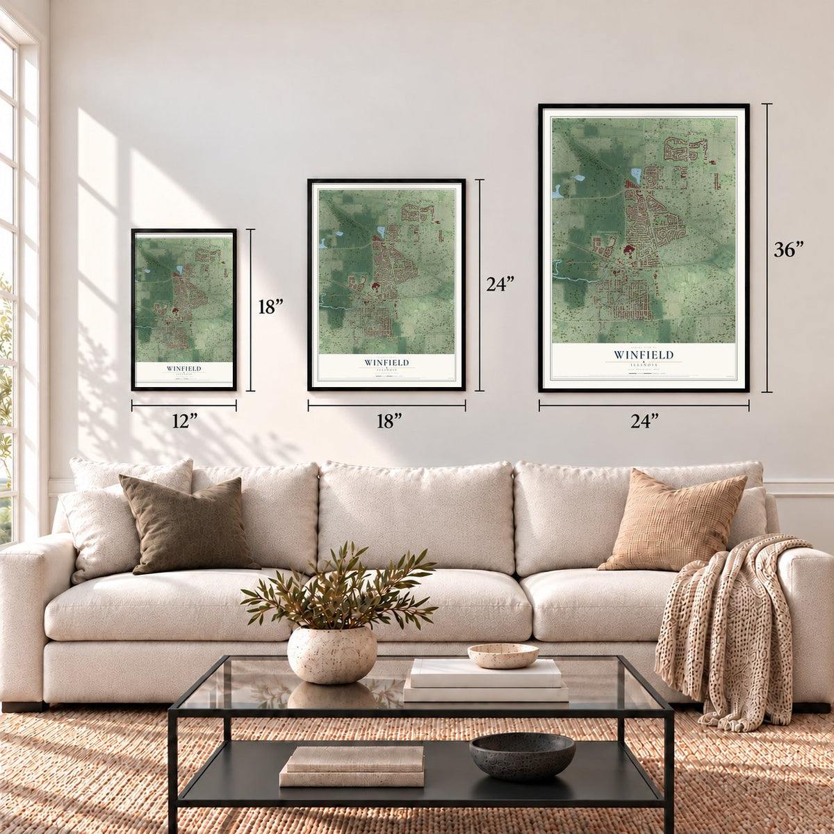
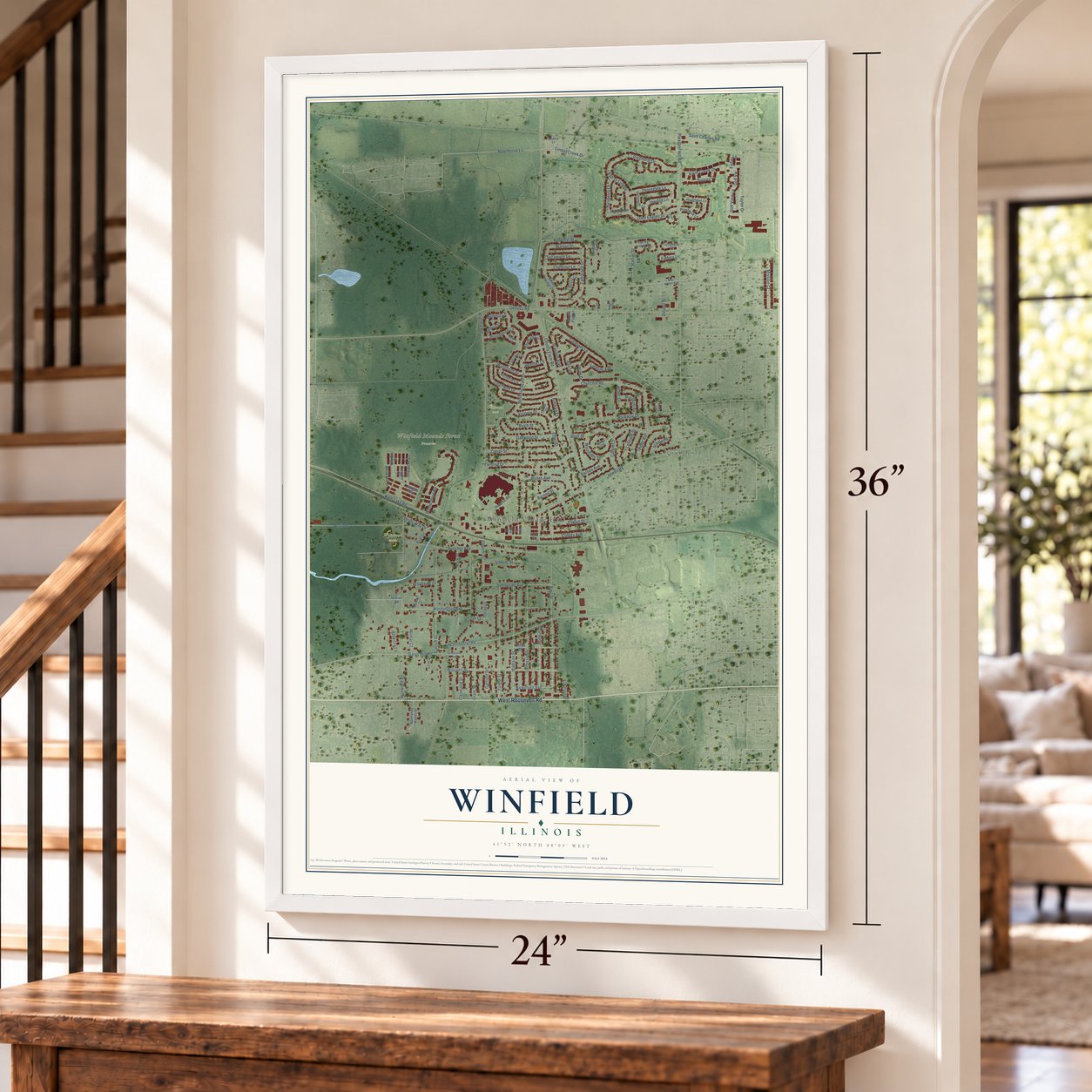
A new map of Winfield, Illinois, made in 2026 and printed to order on thick archival matte paper.
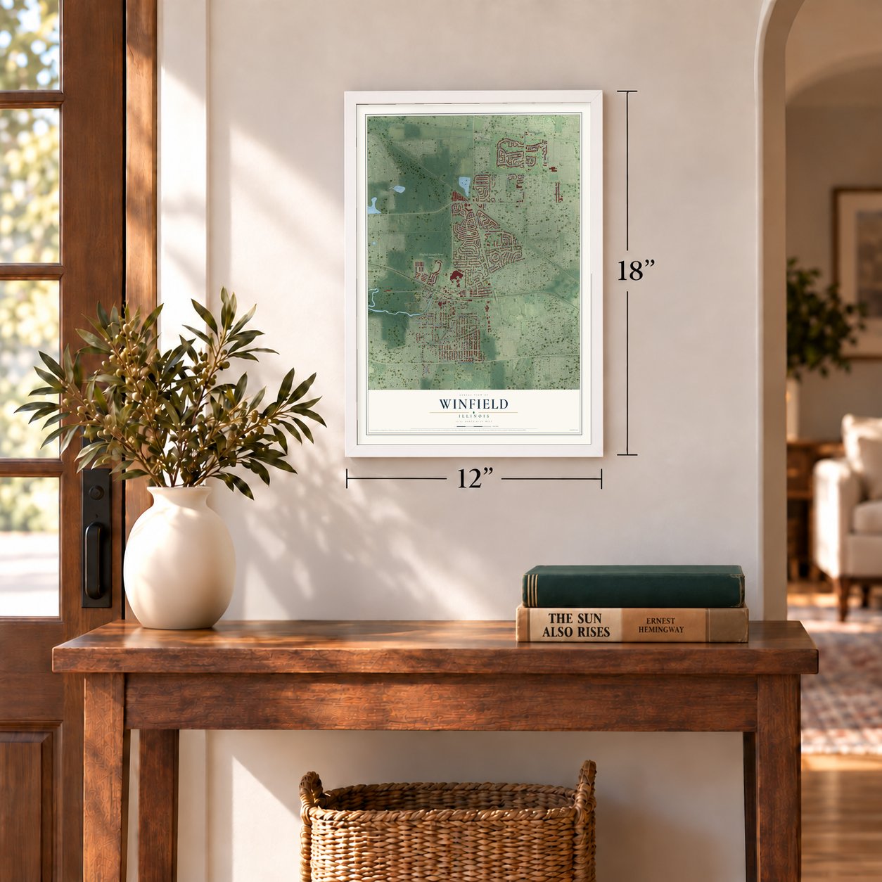
12" x 18" Archival Matte Print
A Map of Home. A Work of Art.
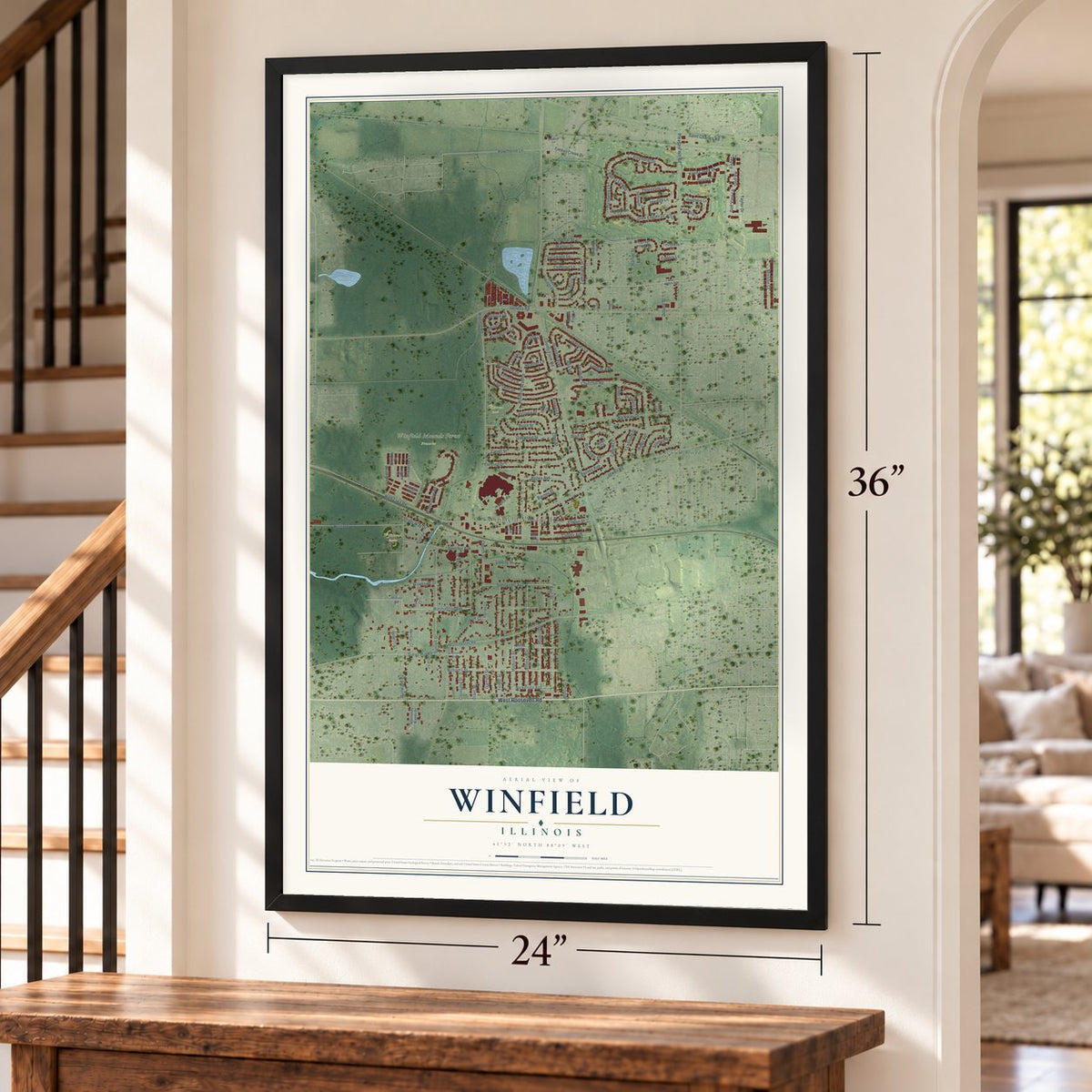
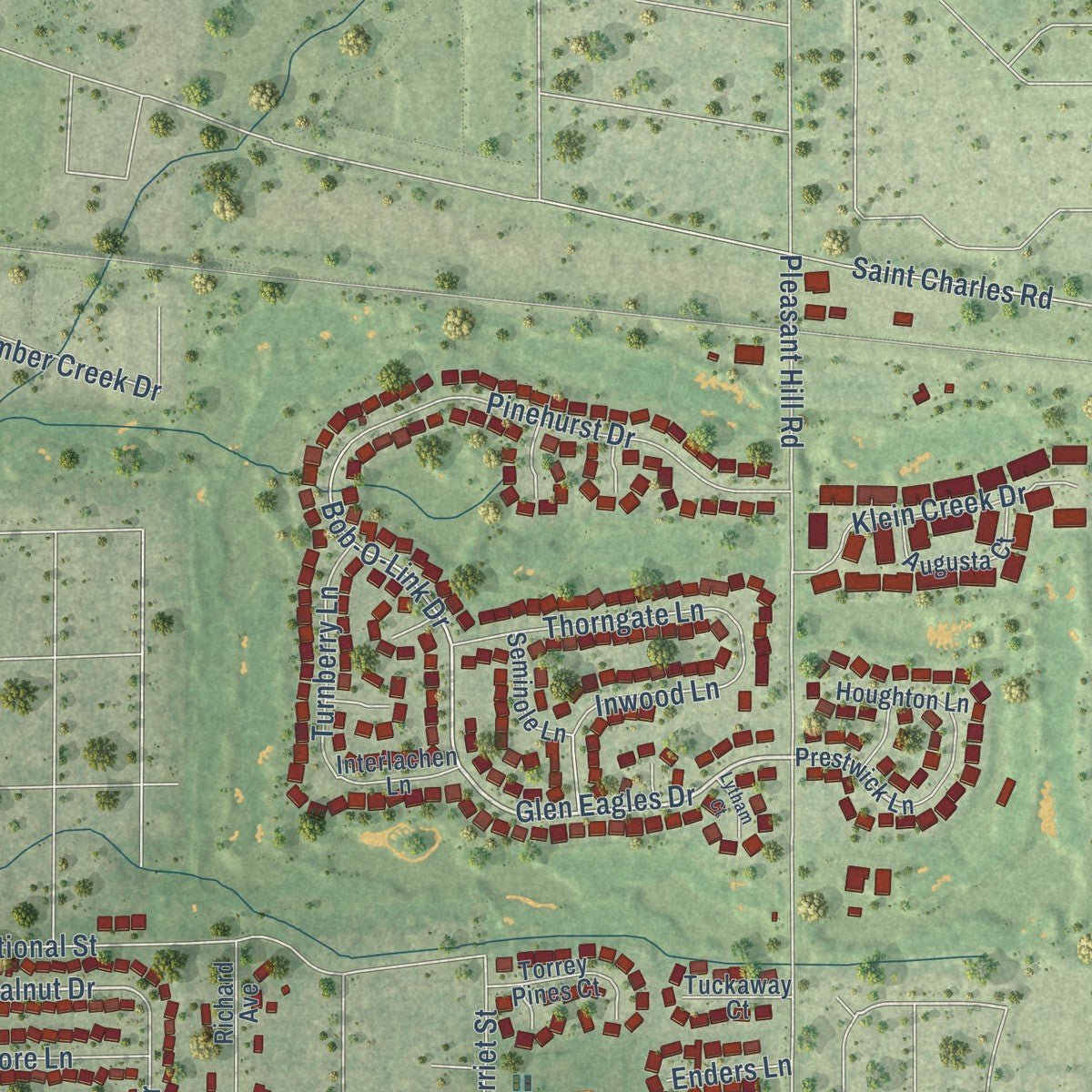
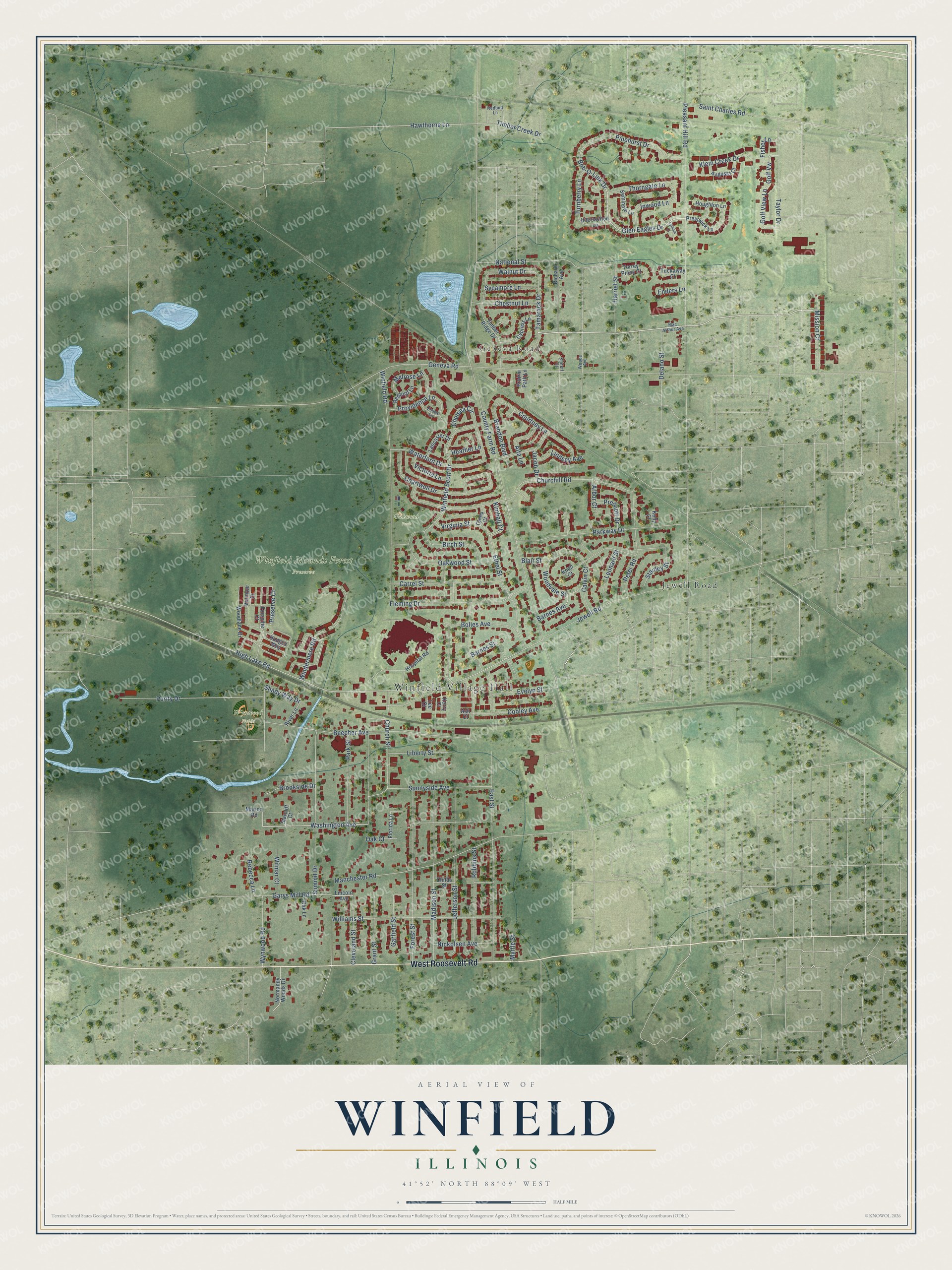
Explore Winfield, Illinois from a whole new perspective. Created using aerial imagery and detailed geographic data, this map captures Winfield building by building, with labeled streets, familiar landmarks, and shaded topographical relief that highlights the natural contours of the landscape.
Combining modern data with the timeless character of a vintage atlas, this map is just as interesting up close as it is beautiful on the wall. Whether you grew up in Winfield, spent memorable years there, or call it home today, this unique map is a great way to celebrate a place that means something to you. Zoom in on the preview to look for your street, and then order a print to put your memories on the wall.
Three ways to hang it
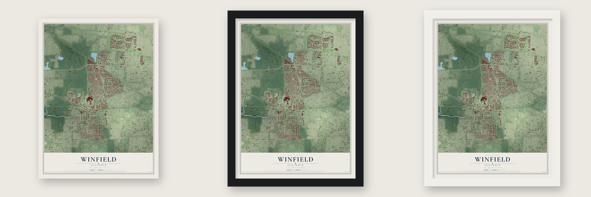
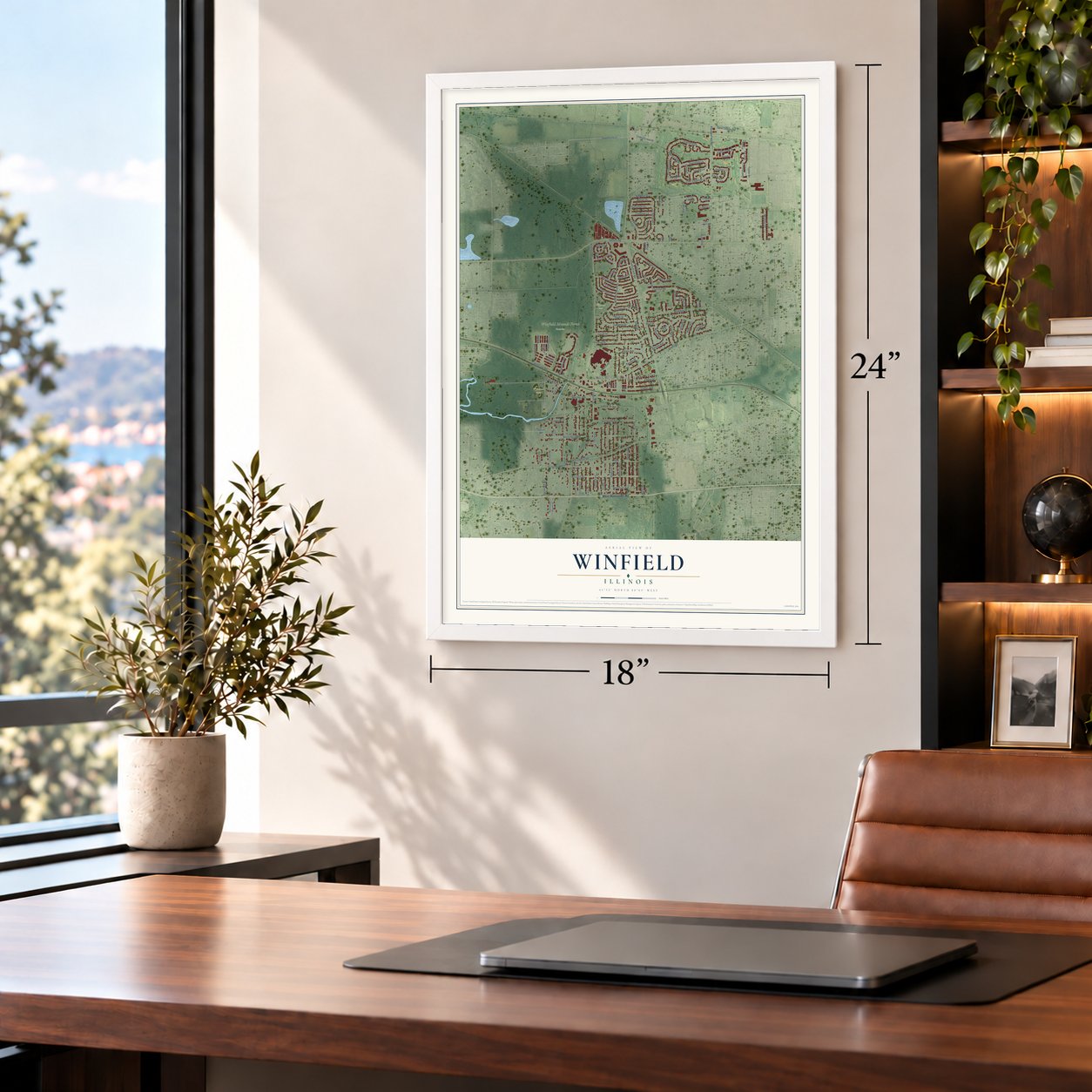
Unframed archival matte, a black wood frame or a white wood frame.
Up close
Geography Worth Displaying
This map was created using accurate cartographic data and authoritative geographic sources, including the U.S. Geological Survey and the Census Bureau. The map brings together terrain, waterways, roads, and building detail. The majority of the streets are labeled, houses are accurately depicted, and the topography is derived from government sources. Combining local data with carefully composed color and shading leads to this beautifully detailed Winfield artwork for your wall.
Rather than simply showing street outlines, we’ve included as many of the street names as we could reasonably fit on the map while keeping their names legible. Zoom in on the high resolution preview to see exactly what’s on the map. We truly set out to create a statement piece for anyone who loves Winfield. So whether it’s for you, or a gift for someone you love, we hope this map of Winfield brings back fond memories.
Read the story behind this map of Winfield, Illinois from 2026.

About Winfield, Illinois
Winfield is a village of 9,835 people in DuPage County, and the West Branch of the DuPage River flows through it. Erastus and Jude P. Gary settled here in 1832, so the place was first known as Gary's Mill. In 1845 a land grant went to James P. Doe, a New Hampshire man, who laid it out as the Town of Fredericksburg in 1853. A year later, railroad maps were calling it Winfield, after General Winfield Scott.
Most early residents had come from New England, but by 1860 half of them were from Germany and Alsace-Lorraine. German-speaking farmers stayed a large part of the community until the 1920s. In 1884 the town asked to incorporate as Frederick Park, but it was turned down because it had fewer than 300 residents. It finally became a village in 1921, with 310 people.
- Illinois's oldest train depotHedges station went up in 1849, and no train depot in Illinois is older. The building is now a museum. Commuters today ride Metra's Union Pacific West Line from Winfield station east to Chicago's Ogilvie Transportation Center.
- From sanitarium to hospitalThe Chicago-Winfield Tuberculosis Sanitarium opened in 1909. As the disease grew rarer, fewer patients came, and in 1962 the Central DuPage Hospital Association bought the property. Central DuPage Hospital now ranks among the biggest hospitals in the Chicago suburbs.
- John Karwoski's tavernJohn T. Karwoski, an immigrant, opened John's Buffet in 1921, the year Winfield incorporated. Renamed John's Restaurant and Tavern, it stood among the longest-running taverns anywhere in Chicago's suburbs until it closed in December 2017. Karwoski helped the struggling prairie town recover after the railroad boom ended, and in 1935 he became the first chief of the volunteer fire company. His son, John Karwoski II, took charge of the Winfield Fire Protection District in 1980.
- A church rebuilt after 1906St. John the Baptist Catholic Church was built in 1867. Fire destroyed it in 1906, and the parish built it again. Its school still teaches children from preschool through eighth grade.
Find your street
Names on the Winfield map
Every name below is printed on this map. Look for your street, your school, the park where you played, or the pond down the road.
Places and landmarks6
- Winfield Village Hall
- Geneva Road
- Oakwood Park
- Winfield Mounds Forest Preserve
- Wynwood Fields
- Jewell Road
Streets and roads130
- West Roosevelt Road
- Glen Eagles Drive
- Washington Avenue
- Hawthorne Lane
- Walnut Drive
- Wynwood Road
- County Farm Road
- Winfield Road
- Pleasant Hill Road
- East Street
- Churchill Road
- Robbins Street
- Jefferson Street
- Manchester Road
- Beecher Avenue
- High Lake Road
- Winfield Scott Drive
- Forest Street
- Madison Street
- Chartwell Drive
- Williams Street
- Summit Drive
- Parkway Drive
- Blair Street
- Ethel Street
- Purity Drive
- Fleming Drive
- Pinehurst Drive
- Windermere Road
- Sunnyside Avenue
Show all 130 streets
- Barnes Avenue
- Oakwood Street
- Taylor Drive
- Tamarack Drive
- Saint Charles Road
- Carrel Street
- Peter Road
- Courtney Lane
- Waterford Drive
- Golf View Lane
- Golf Vw
- Liberty Street
- National Street
- Garys Mill Road
- Barnes Street
- Park Street
- Church Street
- Bob-O-Link Drive
- Timber Creek Drive
- Cooley Avenue
- Calvin Court
- Providence Lane
- Bolles Avenue
- Birch Street
- Klein Creek Drive
- Inwood Lane
- Cleveland Street
- Grant Street
- Myrtle Street
- Thorngate Lane
- Chestnut Lane
- Brandon Boulevard
- Nickolsen Avenue
- Stanley Street
- Harriet Street
- Leonard Street
- Preserve Court
- Turnberry Lane
- Sycamore Lane
- Evelyn Street
- Garfield Street
- Lindsey Avenue
- Chelsea Circle
- Brookside Drive
- Alta Lane
- Victoria Lane
- Mission Court
- Virginia Street
- Woodvale Street
- Prescott Drive
- Melrose Lane
- Wilmar Court
- Fisher Lane
- Kimball Court
- Delano Street
- Rebecca Lane
- Shady Way Drive
- Heather Lane
- Arbor Court
- Oak Court
- Jacob Drive
- Enders Lane
- Prestwick Lane
- Lincoln Avenue
- Timber Ridge Drive
- Hodges Way
- Woodlane Drive
- Cypress Lane
- Seminole Lane
- Normandy Woods Drive
- Forsythe Court
- Richard Avenue
- Augusta Court
- Bedford Lane
- Childs Street
- Torrey Pines Court
- Lancaster Drive
- Vermont Court
- Houghton Lane
- Hospital Road
- Interlachen Lane
- River Lane
- Florida Lane
- Tuckaway Court
- Knoll Court
- Oak Lane
- Kerry Court
- Starcliff Court
- Cloos Court
- Prairie Path Lane
- Marion Road
- Kelly Court
- Lee Court
- Ash Court
- Mac Arthur Avenue
- Redbud Lane
- Essex Lane
- Woods Avenue
- Siefert Court
- Lytham Court
Names are listed as they appear on the printed map. Zoom into the product photos to find them.
The art of mapping a place
How This Map Was Made
Real places. Remarkable detail. Discover the layers that turn geographic data into a map of home.

The view from above
Aerial imagery reveals the character of the land: woodland, open fields, and the patterns of a place.

The shape of the land
Elevation data brings hills, valleys, and subtle changes in the landscape into view.

The details of home
Roads, waterways, and building footprints come together to make the map feel unmistakably local.

Geography becomes art
Considered color, shading, and typography bring the layers together in a map made for your wall.


Process illustrated with Mendon, Massachusetts. Aerial imagery: USDA NAIP. Terrain: USGS 3D Elevation Program. Map details and finished artwork: KNOWOL.
The Details
About This Print
Choose an archival matte print, or a black or white Ayous wood frame. The archival matte print is unframed.
Select your size and finish above to see the matching product image and price.
Materials & Craftsmanship
A contemporary map with the character of a classic atlas, printed on archival matte paper. Optional frames are made from Ayous wood.
Your printed map does not include the watermark shown in the full-map preview.
Shipping & Delivery
Free shipping within the United States. Every print is made to order in the USA.
Buying a gift? Add a note in your cart and we'll include it. We never put prices in the package.
Prints ship within 2 to 3 business days. Allow 7 to 10 days total from ordering for delivery. Timing may vary during holidays or periods of high order volume.
Read our shipping policy.
Returns and damaged prints
Each print is made to order. Change-of-mind refunds are not available after production.
If your print arrives damaged, misprinted or incorrect, contact support@knowol.com within 30 days of receiving it. Include your order number, photos and a description of the issue.
Read our full refund and replacement policy. For questions about your order, email support@knowol.com.
Find your town
Looking for another city?
Find a map of home in our Illinois collection, or any town in the country.
Nearby
Maps of towns near Winfield
Know someone from one of these towns? Their map makes a great gift.
 Wheaton
, Illinois
From $39.99See the map
 Carol Stream
, Illinois
From $39.99See the map
 West Chicago
, Illinois
From $39.99See the map
More maps nearby: Warrenville, Glen Ellyn, Glendale Heights, Bartlett and Bloomingdale.