
Search for another town
Free U.S. delivery 7 to 10 days after you order
Escondido, California Map Art
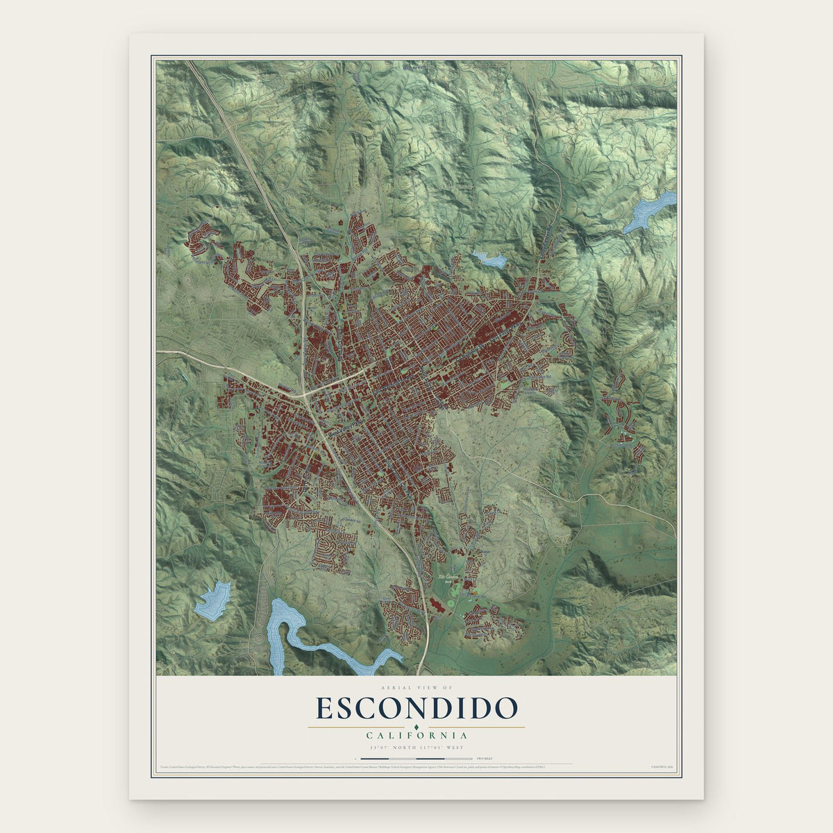
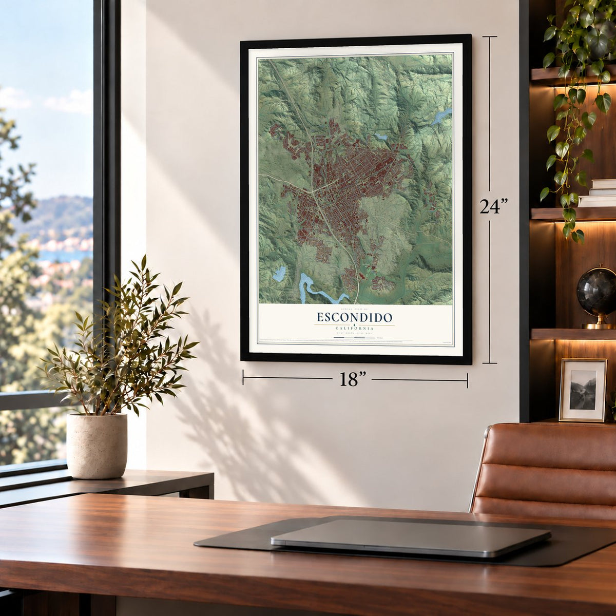
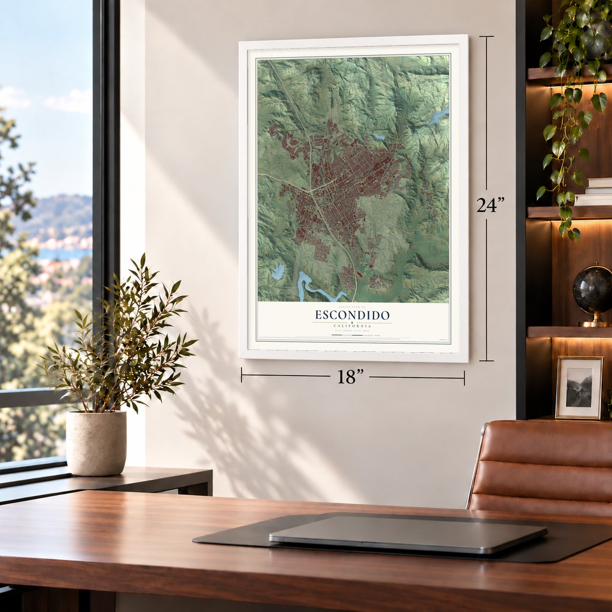
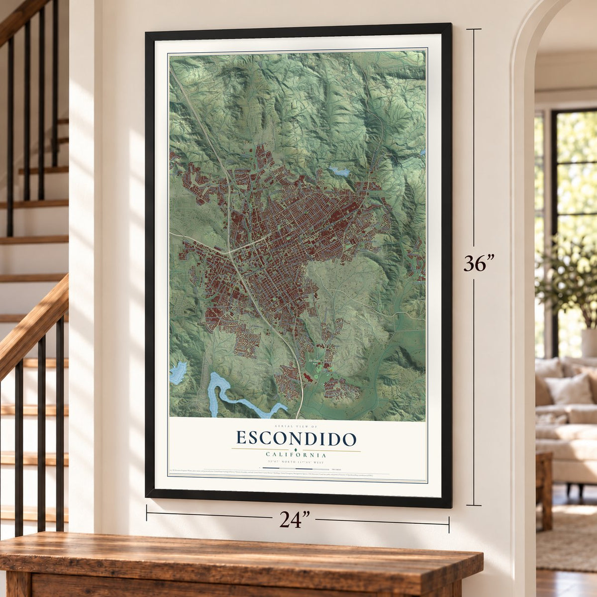
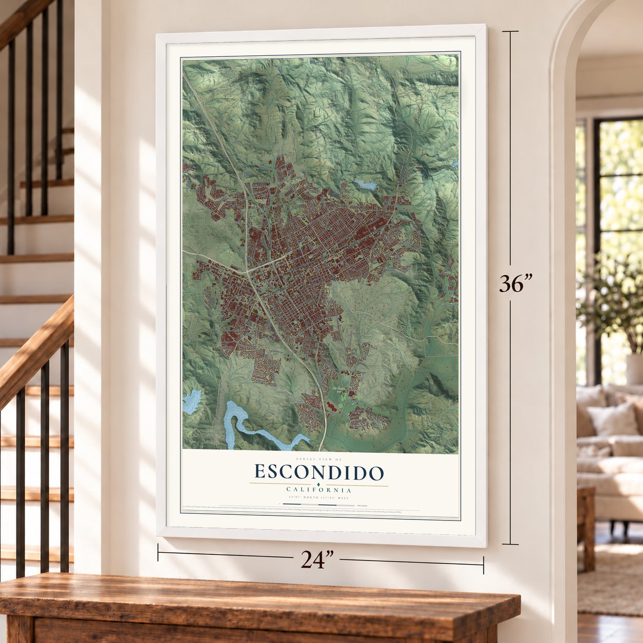
Building by building, with labeled streets and shaded relief.
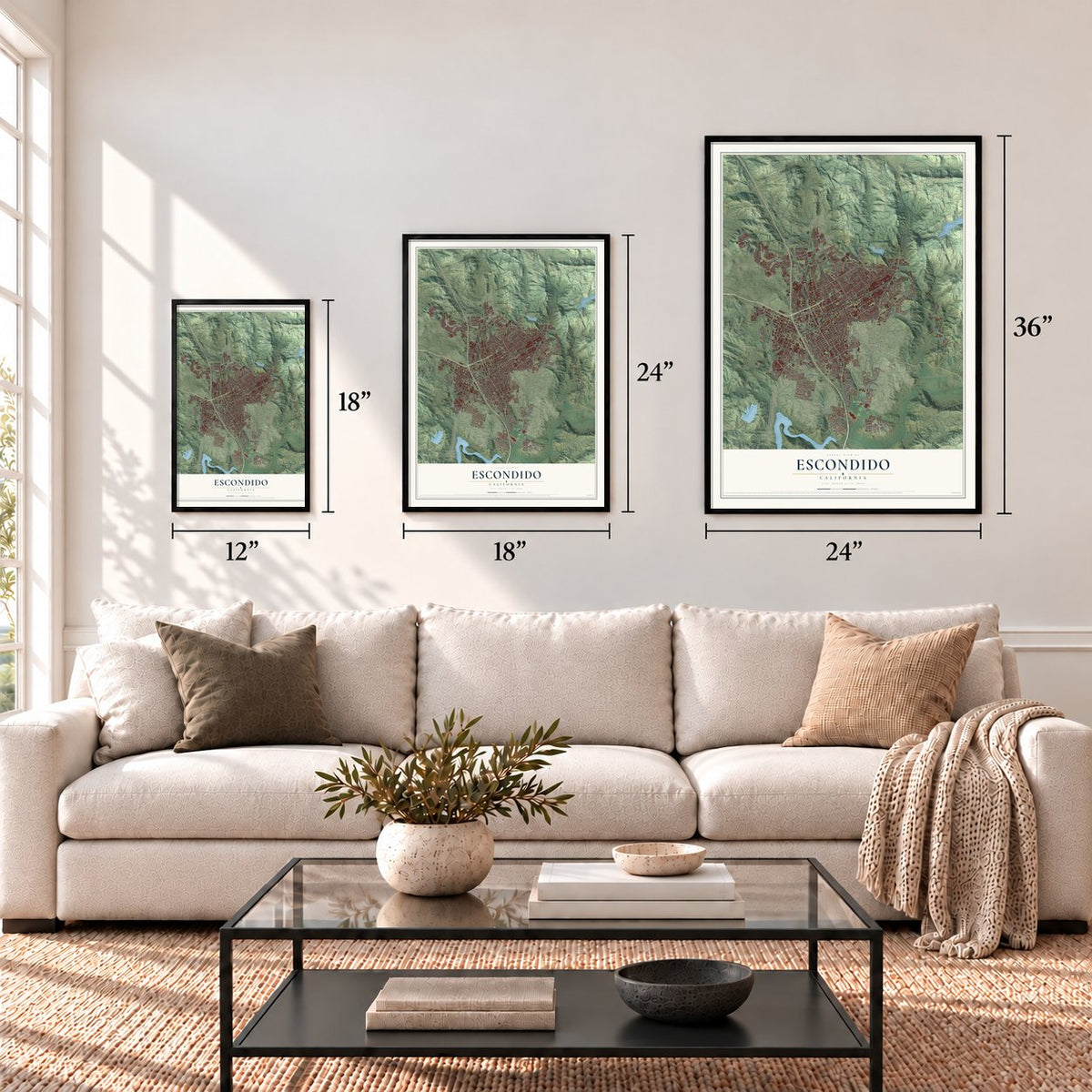
12" x 18" Archival Matte Print
A Map of Home. A Work of Art.
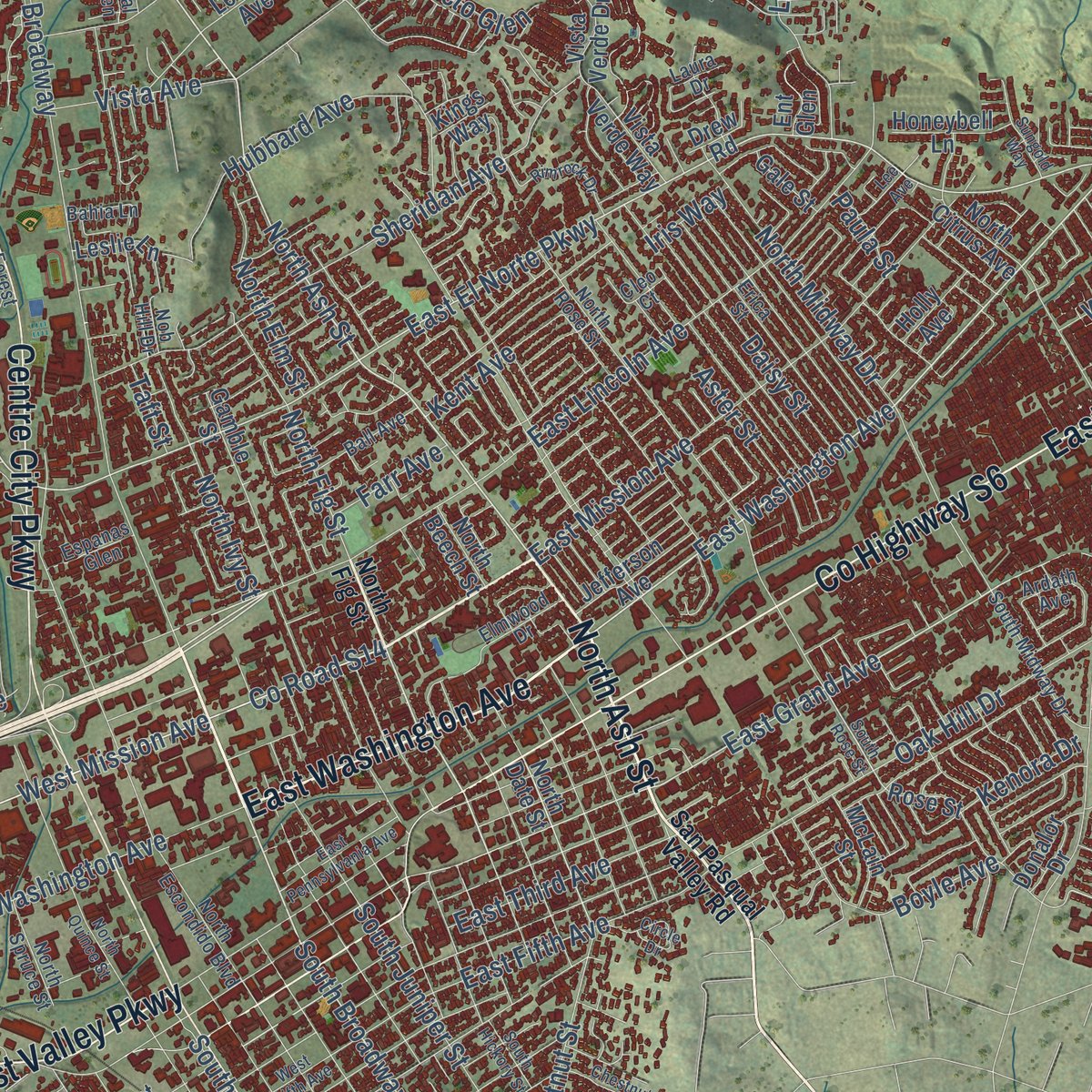
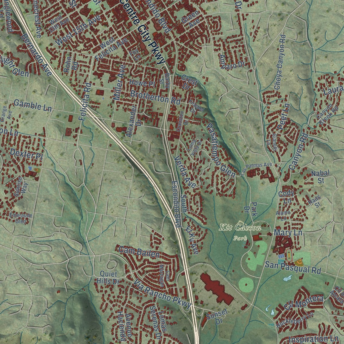
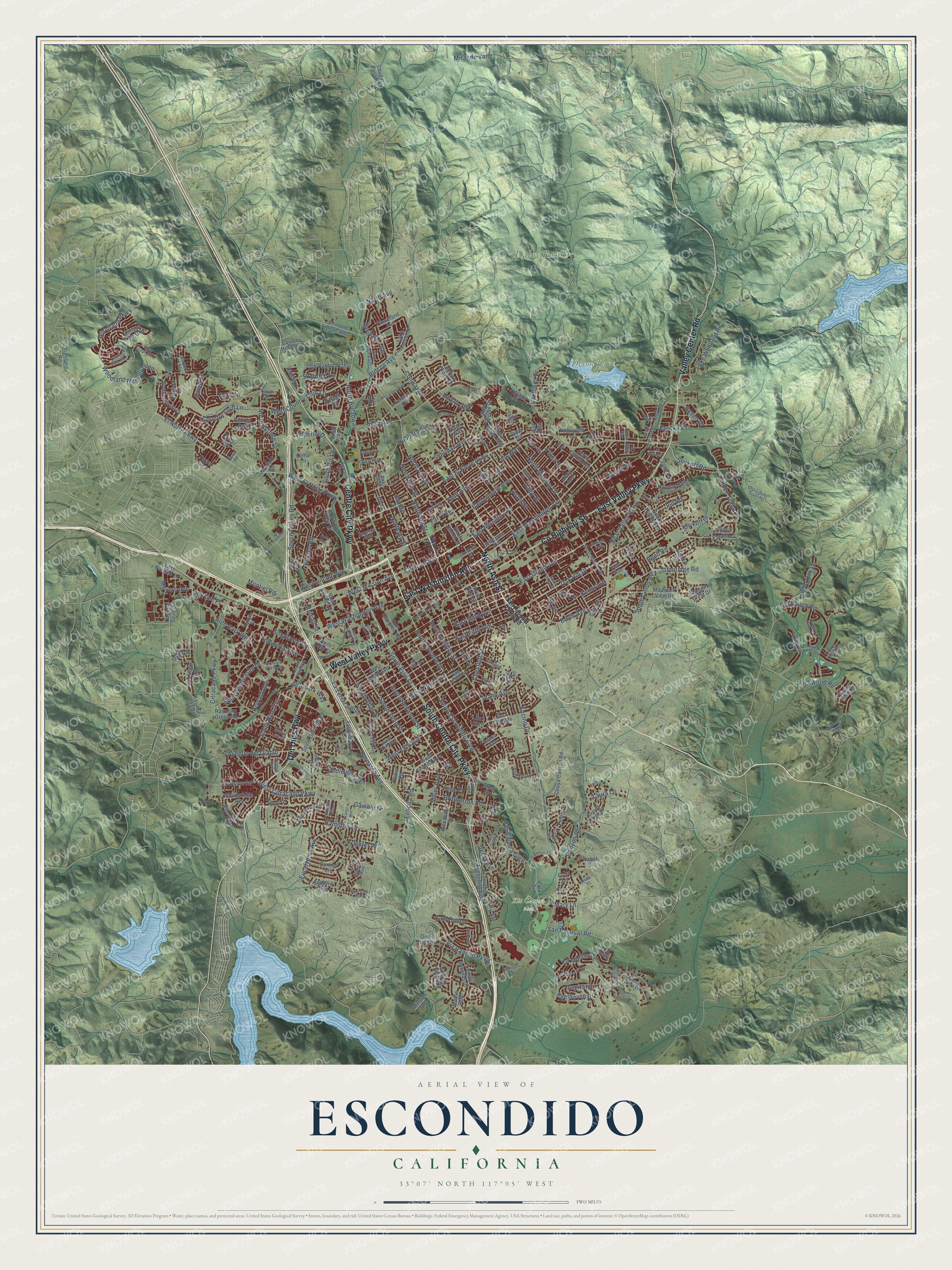
Explore Escondido, California from a whole new perspective. Created using aerial imagery and detailed geographic data, this map captures Escondido building by building, with labeled streets, familiar landmarks, and shaded topographical relief that highlights the natural contours of the landscape.
Combining modern data with the timeless character of a vintage atlas, this map is just as interesting up close as it is beautiful on the wall. Whether you grew up in Escondido, spent memorable years there, or call it home today, this unique map is a great way to celebrate a place that means something to you. Zoom in on the preview to look for your street, and then order a print to put your memories on the wall.
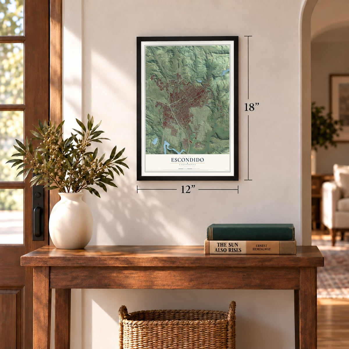
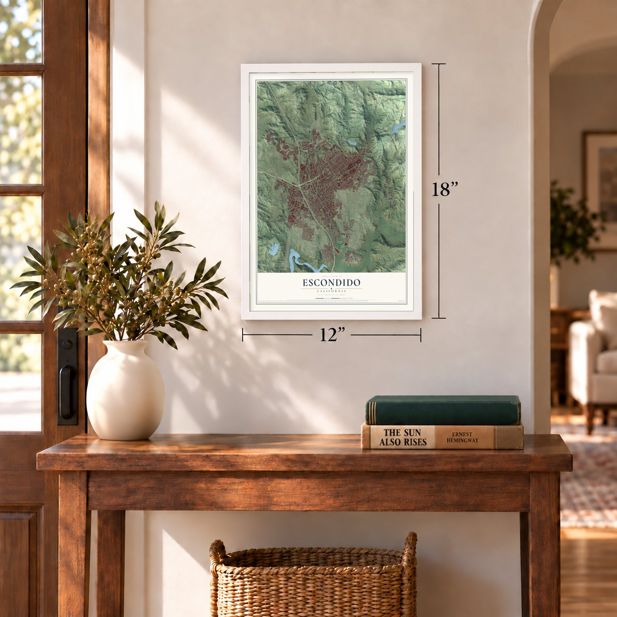
Three ways to hang it
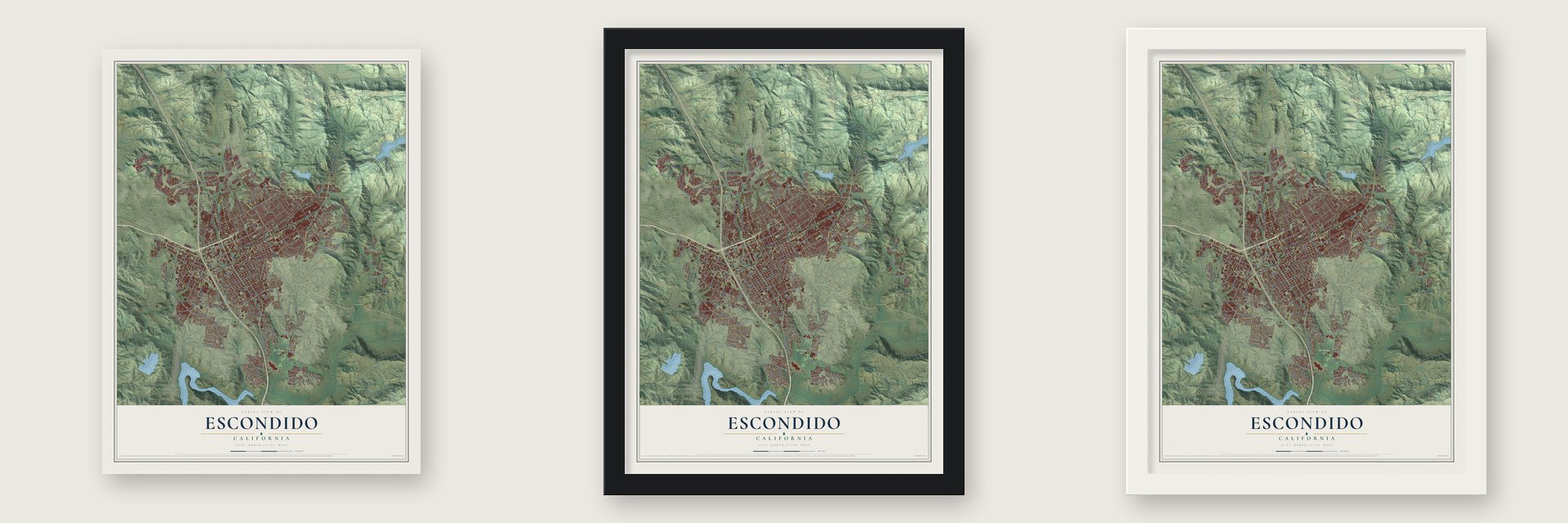
Unframed archival matte, a black wood frame or a white wood frame.
Up close
Geography Worth Displaying
This map was created using accurate cartographic data and authoritative geographic sources, including the U.S. Geological Survey and the Census Bureau. The map brings together terrain, waterways, roads, and building detail. The majority of the streets are labeled, houses are accurately depicted, and the topography is derived from government sources. Combining local data with carefully composed color and shading leads to this beautifully detailed Escondido artwork for your wall.
Rather than simply showing street outlines, we’ve included as many of the street names as we could reasonably fit on the map while keeping their names legible. Zoom in on the high resolution preview to see exactly what’s on the map. We truly set out to create a statement piece for anyone who loves Escondido. So whether it’s for you, or a gift for someone you love, we hope this map of Escondido brings back fond memories.
Read the story behind this map of Escondido, California from 2026.
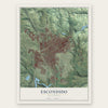
Find your street
Names on the Escondido map
Every name below is printed on this map. Look for your street, your school, the park where you played, or the pond down the road.
Places and landmarks3
- Daley Ranch
- Dixon Lake Park
- Kit Carson Park
Streets and roads292
- East Washington Avenue
- North Ash Street
- County Highway S6
- East Valley Parkway
- Centre City Parkway
- South Centre City Parkway
- West Valley Parkway
- Del Dios Highway
- Valley Center Road
- Woodland Heights Glen
- North Broadway
- East Lincoln Avenue
- West Mission Avenue
- East Mission Avenue
- Woodland Parkway
- West El Norte Parkway
- Hidden Trails Road
- North Fig Street
- Felicita Road
- Avenue del Diablo
- Via Rancho Parkway
- El Norte Parkway
- Mary Lane
- Bear Valley Parkway
- East El Norte Parkway
- East Grand Avenue
- South Broadway
- County Road S14
- South Escondido Boulevard
- La Honda Drive
Show all 292 streets
- Conway Drive
- Oak Hill Drive
- West Ninth Avenue
- South Juniper Street
- Hamilton Lane
- West Citracado Parkway
- Bernardo Avenue
- Sheridan Avenue
- Vista Avenue
- West Washington Avenue
- North Midway Drive
- Old Ranch Road
- South Citrus Avenue
- Auto Park Way
- North Nutmeg Street
- South Redwood Street
- South Tulip Street
- Citracado Parkway
- Glenridge Road
- Country Club Lane
- Rincon Avenue
- Lake Wohlford Road
- Beethoven Drive
- South Upas Street
- Eucalyptus Avenue
- Gamble Lane
- Seven Oakes Road
- Encino Drive
- West 15th Avenue
- Reed Road
- East Fifth Avenue
- North Elm Street
- South Pine Street
- Miller Avenue
- West Lincoln Avenue
- Boyle Avenue
- Borden Road
- West Country Club Lane
- Brotherton Road
- East Third Avenue
- Gary Lane
- North Ivy Street
- Daisy Street
- San Pasqual Road
- Inspiration Lane
- Peet Lane
- South Hale Avenue
- South Andreasen Drive
- Canyon Road
- La Terraza Boulevard
- Wanek Road
- Simpson Way
- Hubbard Avenue
- Chestnut Street
- Slivkoff Drive
- Howard Avenue
- Beven Drive
- David Drive
- Slivkoff Road
- Rockwood Road
- Autopark Way
- Candlelight Glen
- Metcalf Street
- South Iris Lane
- Meyers Avenue
- Verda Avenue
- Loreto Glen
- Pasatiempo Glen
- Mirar de Valle
- Aster Street
- Cll Montera
- Laura Lane
- Wild Oak Lane
- Industrial Avenue
- Amber Lane
- Idaho Avenue
- Skyridge Lane
- Kenora Drive
- Kent Avenue
- Cam Bailen
- Don Lee Place
- Jed Road
- Burnet Drive
- Imperial Drive
- Eureka Drive
- Montiel Road
- Farr Avenue
- North Avenue
- Dexter Place
- Iris Way
- Paula Street
- Taft Street
- West Felicita Avenue
- Jefferson Avenue
- North Date Street
- Quiet Hills Drive
- West Third Avenue
- Hypoint Avenue
- Hidden Estate Lane
- Rock Springs Road
- North Citrus Avenue
- Mountain View Drive
- Golden Circle Drive
- Morning View Drive
- North Iris Lane
- Harmony Grove Road
- Cortina Circle
- Gamble Street
- Park Drive
- Village Road
- Douglaston Gln
- Lehner Avenue
- North Beech Street
- East 17th Avenue
- Avenue Hacienda
- South Del Dios Road
- Alexander Drive
- Lomas Serenas Drive
- South Escondito Boulevard
- Choya Canyon Road
- Country Club Drive
- Sunset Drive
- Jack Rabbit Acres
- Johnston Road
- Oak View Way
- Amparo Drive
- Fallbrook Place
- North Tulip Street
- Vista Verde Drive
- Andorre Glen
- Rose Street
- Tanglewood Lane
- Pinecrest Avenue
- Jesmond Dene Road
- Vista Verde Way
- Lake Forest Street
- Continental Lane
- Kauana Loa Drive
- Holly Avenue
- Canyon View Glen
- Cortez Avenue
- South Hayden Drive
- Park Hill Lane
- Canyon Grove Drive
- Shadyridge Avenue
- Honeybell Lane
- Vintage Place
- Cleveland Avenue
- Pamela Lane
- Scenic Drive
- Howe Place
- Moody Drive
- East Barham Drive
- Live Oak Road
- Portola Avenue
- El Ku Avenue
- McLain Street
- Richland Road
- Leslie Lane
- James Street
- Crest Drive
- Canyon Crest Drive
- Cougar Pass Road
- Nordahl Road
- Mission Road
- Coyote Hill Glen
- Gale Street
- Flint Avenue
- Ent Glen
- Drew Road
- Rohn Road
- Donalor Drive
- Monte Real
- Nabal Street
- Toyon Glen
- Libre Glen
- Iona Court
- Loma Lane
- Green Avenue
- Kings Way
- Cody Lane
- San Pasqual Valley Road
- Sierra Linda Drive
- North Escondido Boulevard
- North Rose Street
- West 13th Avenue
- Erica Street
- Stanley Avenue
- North Hale Avenue
- Elmwood Drive
- View Crest Glen
- Forest Glen
- South Midway Drive
- Willowbrook Street
- Pine Valley Gln
- East Tenth Avenue
- Canyon Creek Road
- Vermel Avenue
- Huckleberry Lane
- Ball Avenue
- Habero Drive
- North Spruce Street
- Sunrise Way
- Skyline View Glen
- Espanas Glen
- Venture Street
- Bahia Lane
- Oak Valley Lane
- Ardath Avenue
- Cleo Court
- Tierra Vista Place
- Timber Creek Lane
- Foy Lane
- Darby Street
- Barbara Street
- Momar Lane
- Hawaii Place
- Corral Glen
- Laura Drive
- Cll de Alcala
- Nob Hill Drive
- Rees Road
- Teal Glen
- Haas Street
- South Rose Street
- Old Guejito Grade Road
- North Quince Street
- East Pennsylvania Avenue
- West Fifth Avenue
- Las Palmas Avenue
- South Hickory Street
- Cranston Drive
- Rimrock Drive
- Autopark Way North
- Brillwood Hill Road
- Rincon Road
- Soria Glen
- Deodar Road
- Chestnut Drive
- Orchard View Lane
- Country View Glen
- Sungold Way
- Circle Drive
- Orange Avenue
- Lorry Lane
- Hidden Oaks Lane
- Jacks Creek Road
- Guilder Glen
- Cam Marzagan
- Encanto Drive
- Emeraude Glen
- Gianelli Lane
- Las Brisas Drive
- Lee Avenue
- East 13th Avenue
- Blossom Hill Lane
- Alamo Lane
- Froebel Drive
- Loma Vista Drive
- Dimaio Way
- Earl Glen
- Kal Glen
Names are listed as they appear on the printed map. Zoom into the product photos to find them.
About Escondido, California
Escondido is a city of 151,038 people in San Diego County, and its name is Spanish for hidden. The Luiseño people camped and built villages along the creek here long before Spanish rule, and they called the place Mixéelum Pompáwvo. In 1843 Governor Manuel Micheltorena granted most of this land, Rancho Rincon del Diablo, or Devil's Corner, to Juan Bautista Alvarado.
In 1853 San Diego judge Oliver S. Witherby proposed the rancho as the capital of a new Territory of Colorado, to be carved out of California. He bought the rancho from Alvarado's heirs through deeds in 1855 and 1856, expecting a railroad town to grow there. The state legislature approved the split, but Congress never did, and in 1861 it gave the Colorado name to a territory far to the east. Witherby turned to mining on the land instead and sold it in 1868 for $8,000.
“On March 1, 1886, the Escondido Company deeded the grant to the newly formed Escondido Land & Town Company, which proceeded to subdivide the valley into small farms and lay out the town site.”
- Incorporated by 64 to 12Los Angeles investors bought the rancho in October 1883, and the Escondido Company took it over in 1884. The Escondido Land and Town Company then paid about $100,000 for 12,814 acres and divided them into farms and a town site. In 1888 voters made Escondido a city, 64 in favor and 12 against, so it ranks among the county's oldest cities.
- Grapes, then oranges, then avocadosEscondido began as a farm town growing muscat grapes. A dam built in 1894 and 1895 created what is now Lake Wohlford, and with that water farmers planted orange, lemon, olive and walnut trees in large numbers. By the 1960s avocados were the biggest local crop, and the San Pasqual Valley still holds vineyards and citrus and avocado orchards.
- Kit Carson's parkSoutheast of town, fighting broke out at San Pasqual in 1846, during the war between Mexico and the United States. Andrés Pico commanded the Mexican side. Stephen W. Kearny, Archibald Gillespie and Kit Carson led the American force he faced, and Escondido later named Kit Carson Park in Carson's honor.
- The old Santa Fe depotThe Santa Fe rail line reached the valley in the 1880s. Its original Escondido depot now stands in Grape Day Park at the Escondido History Center, along with the city's first library, a Victorian house, a barn and a blacksmith shop.
Keep exploring California
Escondido is one of 1,990 California towns we've mapped. Every dot on the map is a print of its own.
The search covers every state, California first.
Near Escondido
Order 2 or more town maps and save 10%. Shown in the size and finish you picked above, so they hang as a set.
- Harmony Grove 12" x 18" / Archival Matte Print $39.99
- Del Dios 12" x 18" / Archival Matte Print $39.99
- San Marcos 12" x 18" / Archival Matte Print $39.99

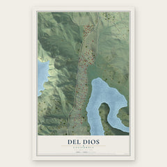
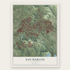
More maps nearby: Hidden Meadows, Elfin Forest, Rancho Bernardo, Valley Center and Lake San Marcos.
The art of mapping a place
How This Map Was Made
Real places. Remarkable detail. Discover the layers that turn geographic data into a map of home.

The view from above
Aerial imagery reveals the character of the land: woodland, open fields, and the patterns of a place.

The shape of the land
Elevation data brings hills, valleys, and subtle changes in the landscape into view.

The details of home
Roads, waterways, and building footprints come together to make the map feel unmistakably local.

Geography becomes art
Considered color, shading, and typography bring the layers together in a map made for your wall.


Process illustrated with Mendon, Massachusetts. Aerial imagery: USDA NAIP. Terrain: USGS 3D Elevation Program. Map details and finished artwork: KNOWOL.
The Details
About This Print
Choose an archival matte print, or a black or white Ayous wood frame. The archival matte print is unframed.
Select your size and finish above to see the matching product image and price.
Materials & Craftsmanship
A contemporary map with the character of a classic atlas, printed on archival matte paper. Optional frames are made from Ayous wood.
Your printed map does not include the watermark shown in the full-map preview.
Shipping & Delivery
Free shipping within the United States. Every print is made to order in the USA.
Buying a gift? Add a note in your cart and we'll include it. We never put prices in the package.
Prints ship within 2 to 3 business days. Allow 7 to 10 days total from ordering for delivery. Timing may vary during holidays or periods of high order volume.
Read our shipping policy.
Returns and damaged prints
Each print is made to order. Change-of-mind refunds are not available after production.
If your print arrives damaged, misprinted or incorrect, contact support@knowol.com within 30 days of receiving it. Include your order number, photos and a description of the issue.
Read our full refund and replacement policy. For questions about your order, email support@knowol.com.