


Search for another town





Free U.S. delivery 7 to 10 days after you order
Everett, Massachusetts Map Art
Building by building, with labeled streets and shaded relief.
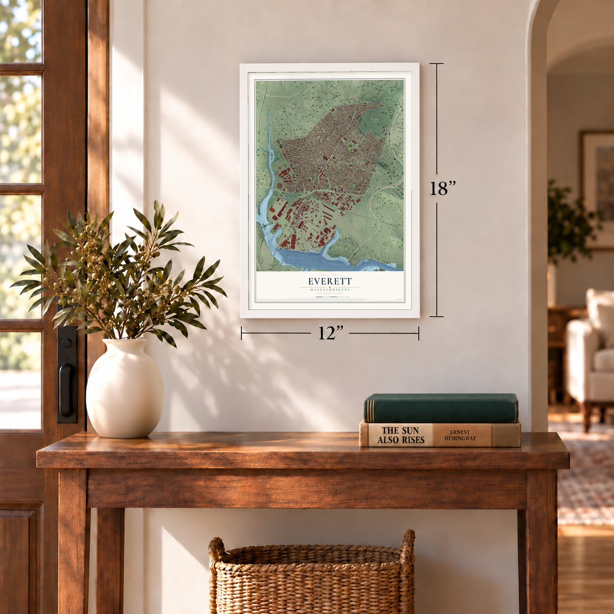
12" x 18" Archival Matte Print
A Map of Home. A Work of Art.
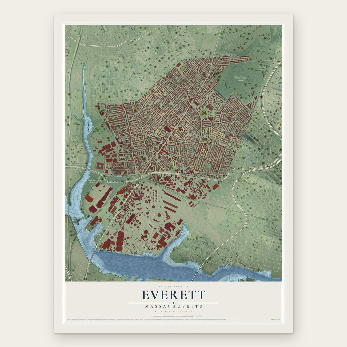
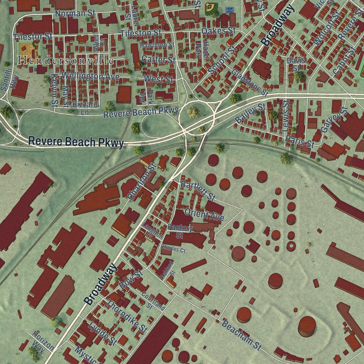
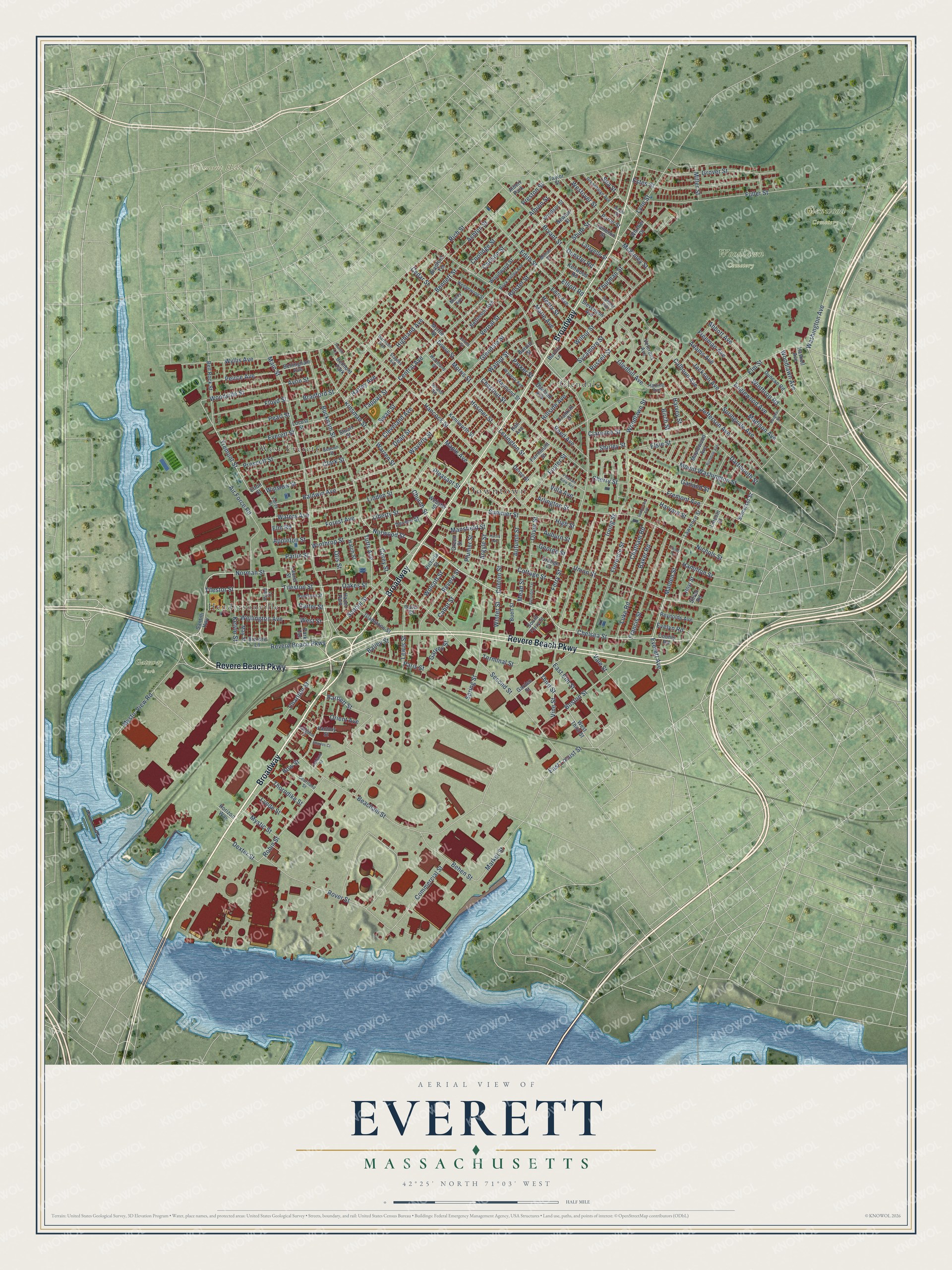
Explore Everett, Massachusetts from a whole new perspective. Created using aerial imagery and detailed geographic data, this map captures Everett building by building, with labeled streets, familiar landmarks, and shaded topographical relief that highlights the natural contours of the landscape.
Combining modern data with the timeless character of a vintage atlas, this map is just as interesting up close as it is beautiful on the wall. Whether you grew up in Everett, spent memorable years there, or call it home today, this unique map is a great way to celebrate a place that means something to you. Zoom in on the preview to look for your street, and then order a print to put your memories on the wall.
Three ways to hang it
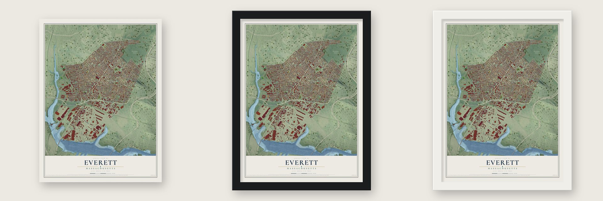
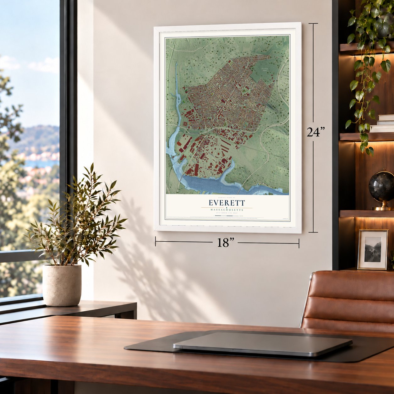
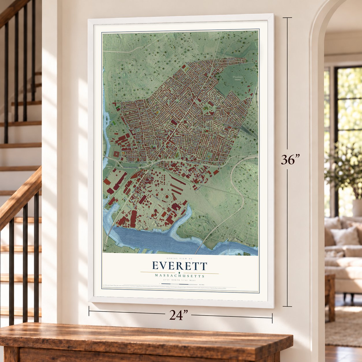
Unframed archival matte, a black wood frame or a white wood frame.
Up close
Geography Worth Displaying
This map was created using accurate cartographic data and authoritative geographic sources, including the U.S. Geological Survey (USGS) and FEMA. The map brings together terrain, waterways, roads, and building detail. The majority of the streets are labeled, houses are accurately depicted, and the topography is derived from government sources. Combining local data with carefully composed color and shading leads to this beautifully detailed Everett artwork for your wall.
Rather than simply showing street outlines, we’ve included as many of the street names as we could reasonably fit on the map while keeping their names legible. Zoom in on the high resolution preview to see exactly what’s on the map. We truly set out to create a statement piece for anyone who loves Everett. So whether it’s for you, or a gift for someone you love, we hope this map of Everett brings back fond memories.
Explore the full map of Everett, Massachusetts and read about the local places it shows.
Find your street
Names on the Everett map
Every name below is printed on this map. Look for your street, your school, the park where you played, or the pond down the road.
Places and landmarks11
- Downtown
- Belmont Hill
- Gateway Park
- Glenwood Cemetery
- Woodlawn Cemetery
- Glendale
- Hendersonville
- West Everett
- Hazel Park
- Belmont Park
- Albert Park
Streets and roads267
- Broadway
- Revere Beach Parkway
- Chelsea Street
- Fremont Avenue
- Everett Avenue
- Bartlett Street
- Malden Street
- Norwood Street
- Ferry Street
- Tremont Street
- Nichols Street
- Woodville Street
- Clinton Street
- McKinley Street
- Dexter Street
- Main Street
- Elm Street
- Second Street
- Fuller Street
- Russell Street
- Beacham Street
- Vine Street
- Mystic View Road
- Shute Street
- Bradford Street
- Washington Avenue
- Hancock Street
- Linden Street
- Bucknam Street
- Rover Street
Show all 267 streets
- Bow Street
- Union Street
- Chestnut Street
- Vernal Street
- Cottage Street
- Jefferson Avenue
- Glendale Street
- Central Avenue
- Garland Street
- Estes Street
- Florence Street
- Walnut Street
- Irving Street
- Grover Street
- Woodlawn Street
- High Street
- School Street
- Tileston Street
- Spring Street
- Air Force Road
- Mount Washington Street
- Harvard Street
- Francis Street
- Wyllis Avenue
- Wilbur Street
- Dartmouth Street
- Waverly Street
- Clarence Street
- Boston Street
- Robin Street
- Revere Street
- Gledhill Avenue
- Edith Street
- Lynn Street
- Cleveland Avenue
- Kinsman Street
- Swan Street
- Reed Avenue
- Springvale Avenue
- Rich Street
- Bryant Street
- Clark Street
- Summer Street
- Winslow Street
- Commercial Street
- Elsie Street
- Baldwin Avenue
- Third Street
- Tilestor Street
- East Elm Street
- Lewis Street
- Morris Street
- Madison Avenue
- Floyd Street
- Pearl Street
- Behen Street
- Cedar Street
- Everett Street
- Kelvin Street
- Abbott Avenue
- Peirce Avenue
- Chatham Road
- Baker Road
- Prescott Street
- Foster Street
- Winthrop Street
- Freeman Avenue
- Sycamore Street
- Albion Street
- Paris Street
- Dean Street
- Englewood Avenue
- Liberty Street
- Terminal Street
- Adams Avenue
- Highland Avenue
- Market Street
- Vale Street
- Ashton Street
- Oliver Street
- Tappan Street
- Winthrop Road
- Lexington Street
- Wellington Avenue
- Hillside Avenue
- Oakes Street
- Thurman Street
- Warren Street
- Corey Street
- Cabot Street
- Luke Road
- Autumn Street
- Harley Avenue
- Coolidge Street
- Tufts Avenue
- Arlington Street
- Forest Avenue
- Mansfield Street
- Bennett Street
- Carlson Street
- Wolcott Street
- Thorndike Street
- Argyle Street
- East Locust Street
- Hosmer Street
- Westover Street
- Waters Avenue
- Norman Street
- Calhoun Avenue
- Plumer Street
- Villa Avenue
- Church Street
- Jackson Avenue
- Bailey Street
- Birch Street
- Woodlawn Avenue
- Lynde Street
- Garvey Street
- Mystic Street
- Charlton Street
- Henry Street
- Marie Avenue
- Cherry Street
- Bolster Street
- Dunster Road
- Pleasant Street
- Hamilton Street
- Sea Street
- Maple Avenue
- Appleton Street
- Shirley Street
- Auburn Street
- Winter Street
- Orient Avenue
- Parker Street
- George Street
- Miller Street
- Parlin Street
- Avon Street
- Preston Street
- Evelyn Road
- Mead Street
- Harvey Street
- Elliott Road
- West Street
- Otis Street
- Carter Street
- Elm Road
- Santilli Highway
- County Road
- Somerset Street
- Lawrence Street
- West Third Street
- Garden Street
- Windsor Street
- Bell Rock Street
- Newton Street
- Veterans Avenue
- Bettinson Avenue
- May Street
- Duncan Road
- Myrtle Street
- Woodward Street
- Gladstone Street
- Raymond Street
- Lafayette Street
- South Ferry Street
- Bradford Terrace
- Webster Street
- Maplewood Avenue
- Locust Street
- Franklin Street
- Bellingham Avenue
- Edith Avenue
- Oakland Avenue
- Reynolds Avenue
- Devens Street
- Kenilworth Street
- Stuart Street
- Bizzaro Lane
- Cameron Street
- Whittier Drive
- Kenwood Road
- Stevenson Avenue
- Burditt Street
- Dowse Street
- Fairmount Street
- Hoyt Street
- Porter Street
- Taylor Street
- Victoria Street
- Burditt Lane
- Hall Avenue
- Haskell Avenue
- Buell Street
- Green Street
- Factory Street
- Hatch Street
- Horizon Way
- Laurel Street
- Derne Street
- Orange Court
- Lincoln Street
- Park Terrace
- Silver Road
- Davis Street
- Elton Street
- Alfred Court
- Staples Avenue
- Rock Valley Avenue
- Valley Street
- Wedgewood Street
- Waverly Avenue
- Beacon Street
- Courtland Street
- Greenhalge Avenue
- Mohan Street
- Summit Avenue
- Harding Avenue
- Hawthorn Street
- Woodland Street
- Harrison Avenue
- Langdon Street
- Upland Road
- Moody Avenue
- Jones Street
- Pleasant View Avenue
- Richdale Avenue
- Vaughan Street
- Partridge Terrace
- Sunnyside Avenue
- Charles Court
- Mason Street
- Harris Avenue
- Ashland Street
- Trunfio Lane
- Fisher Terrace
Names are listed as they appear on the printed map. Zoom into the product photos to find them.
About Everett, Massachusetts
Everett is a city of 49,075 people in Middlesex County, across the Mystic River from Charlestown. Europeans settled here in 1630, when the land was part of Charlestown. It later belonged to Malden, and in 1870 it split off as a town of its own. The town was named for Edward Everett, who had been governor, senator, secretary of state and president of Harvard. Everett became a city in 1892. On December 13 of that year, voters chose Alonzo H. Evans over George E. Smith as the first mayor.
Over the years, landfill pushed the shore out into the river. Between 1905 and 1912 it joined White Island to the mainland. Beacon Oil began building a refinery by the river in 1919 and opened it in 1920. Five major explosions or fires hit it in its first ten years. Standard Oil of New Jersey bought it in 1929. The refinery closed in 1965, but its storage tanks stayed. In 1971 Distrigas of Massachusetts opened the country's first terminal for imported liquefied natural gas, at Island End.
- The last two-house city councilFor years Everett's Board of Aldermen had seven members, and its Common Council had eighteen. It was the last city in the country with a two-house council. On November 8, 2011, voters approved a new charter. It created one City Council of eleven members, six from the wards and five at large, first elected in 2013.
- A pioneer nurse at WoodlawnWoodlawn Cemetery was organized in 1850 on land then in Malden. It was consecrated on July 2, 1851, and it came into Everett with the split of 1870. Mary Eliza Mahoney is buried there. She finished nursing school in 1879 and was the country's first African American to train and work as a professional nurse. Her grave got a fitting monument in 1968, after a drive led by Helen Sullivan Miller, who had won the medal named for Mahoney.
- A sculptor and a scientistEverett was the 1866 birthplace of the sculptor Hermon Atkins MacNeil. He designed the Standing Liberty quarter, which was minted from 1916 to 1930. He also carved the figure Justice, the Guardian of Liberty, for the Supreme Court building. Vannevar Bush, son of the local Universalist pastor, was born here on March 11, 1890. He later headed the Office of Scientific Research and Development.
- The road to Revere BeachCharles Eliot named the Revere Beach Parkway among his first proposed parkways in an 1893 report. It would let people from inland towns get to the beach. The Olmsted Brothers advised on the design, and it was built between 1896 and 1904. It runs from Wellington Circle in Medford across Everett and Chelsea into Revere. The last part, running from Main Street in Everett to the Fellsway, was finished between 1903 and 1905.
- Teddie since 1924The Leavitt Corporation has made its Teddie Peanut Butter in Everett since 1924. The city is also home to the Mystic Generating Station, built by Boston Edison. It has the largest capacity of any power plant in Massachusetts.
Keep exploring Massachusetts
Everett is one of 470 Massachusetts towns we've mapped. Every dot on the map is a print of its own.
The search covers every state, Massachusetts first.
Near Everett
Order 2 or more town maps and save 10%. Shown in the size and finish you picked above, so they hang as a set.
- Chelsea 12" x 18" / Archival Matte Print $39.99
- Malden 12" x 18" / Archival Matte Print $39.99
- Charlestown 12" x 18" / Archival Matte Print $39.99
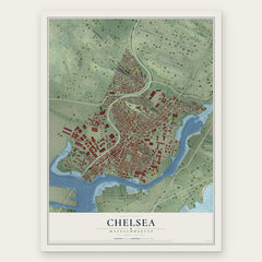


More maps nearby: Ten Hills, East Somerville, Winter Hill, Somerville and Magoun Square.
The art of mapping a place
How This Map Was Made
Real places. Remarkable detail. Discover the layers that turn geographic data into a map of home.

The view from above
Aerial imagery reveals the character of the land: woodland, open fields, and the patterns of a place.

The shape of the land
Elevation data brings hills, valleys, and subtle changes in the landscape into view.

The details of home
Roads, waterways, and building footprints come together to make the map feel unmistakably local.

Geography becomes art
Considered color, shading, and typography bring the layers together in a map made for your wall.


Process illustrated with Mendon, Massachusetts. Aerial imagery: USDA NAIP. Terrain: USGS 3D Elevation Program. Map details and finished artwork: KNOWOL.
The Details
About This Print
Choose an archival matte print, or a black or white Ayous wood frame. The archival matte print is unframed.
Select your size and finish above to see the matching product image and price.
Materials & Craftsmanship
A contemporary map with the character of a classic atlas, printed on archival matte paper. Optional frames are made from Ayous wood.
Your printed map does not include the watermark shown in the full-map preview.
Shipping & Delivery
Free shipping within the United States. Every print is made to order in the USA.
Buying a gift? Add a note in your cart and we'll include it. We never put prices in the package.
Prints ship within 2 to 3 business days. Allow 7 to 10 days total from ordering for delivery. Timing may vary during holidays or periods of high order volume.
Read our shipping policy.
Returns and damaged prints
Each print is made to order. Change-of-mind refunds are not available after production.
If your print arrives damaged, misprinted or incorrect, contact support@knowol.com within 30 days of receiving it. Include your order number, photos and a description of the issue.
Read our full refund and replacement policy. For questions about your order, email support@knowol.com.