
Search for another town
Free U.S. delivery 7 to 10 days after you order
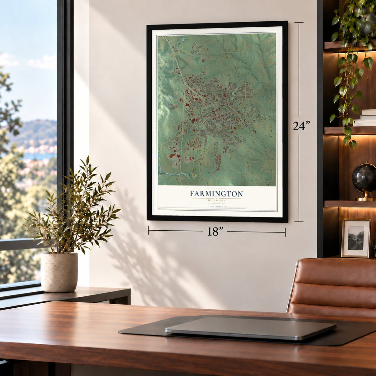
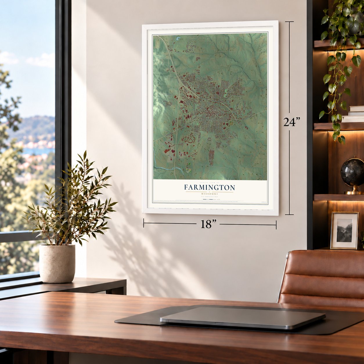
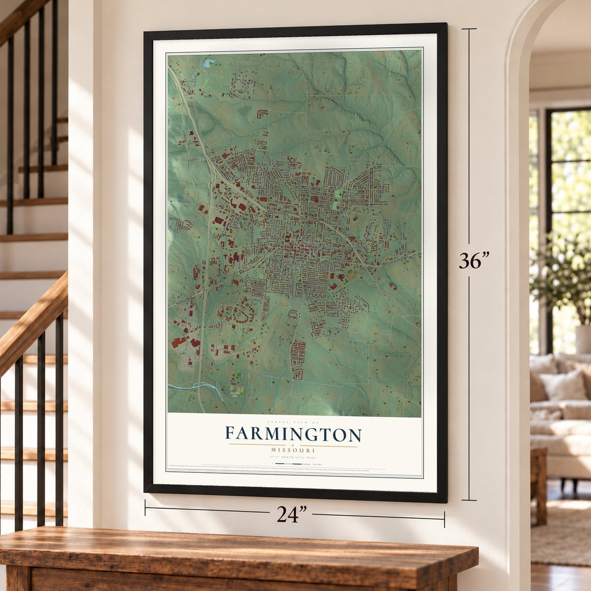
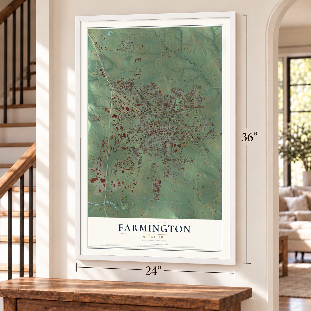
Farmington, Missouri Map Art
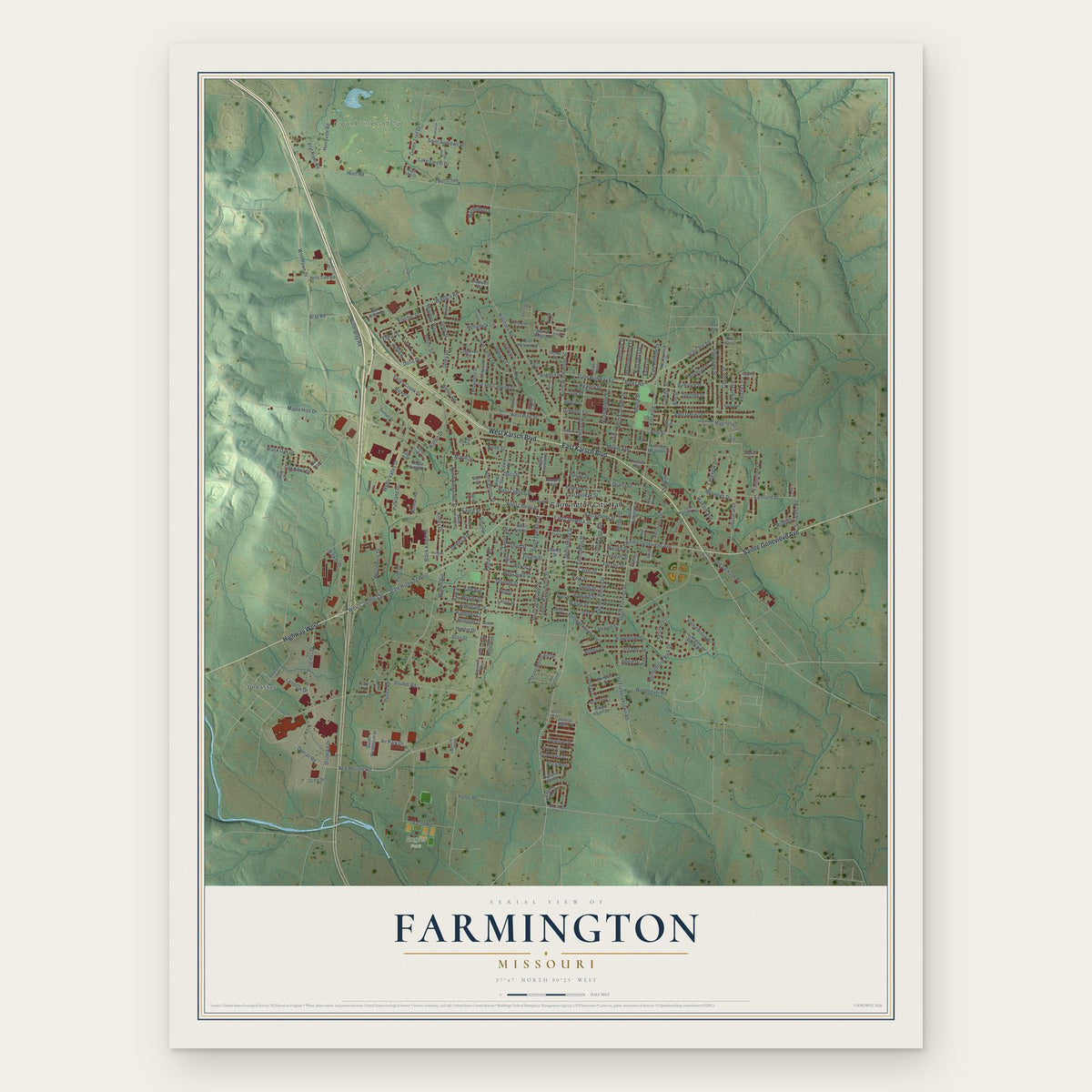
Building by building, with labeled streets and shaded relief.
12" x 18" Archival Matte Print
A Map of Home. A Work of Art.
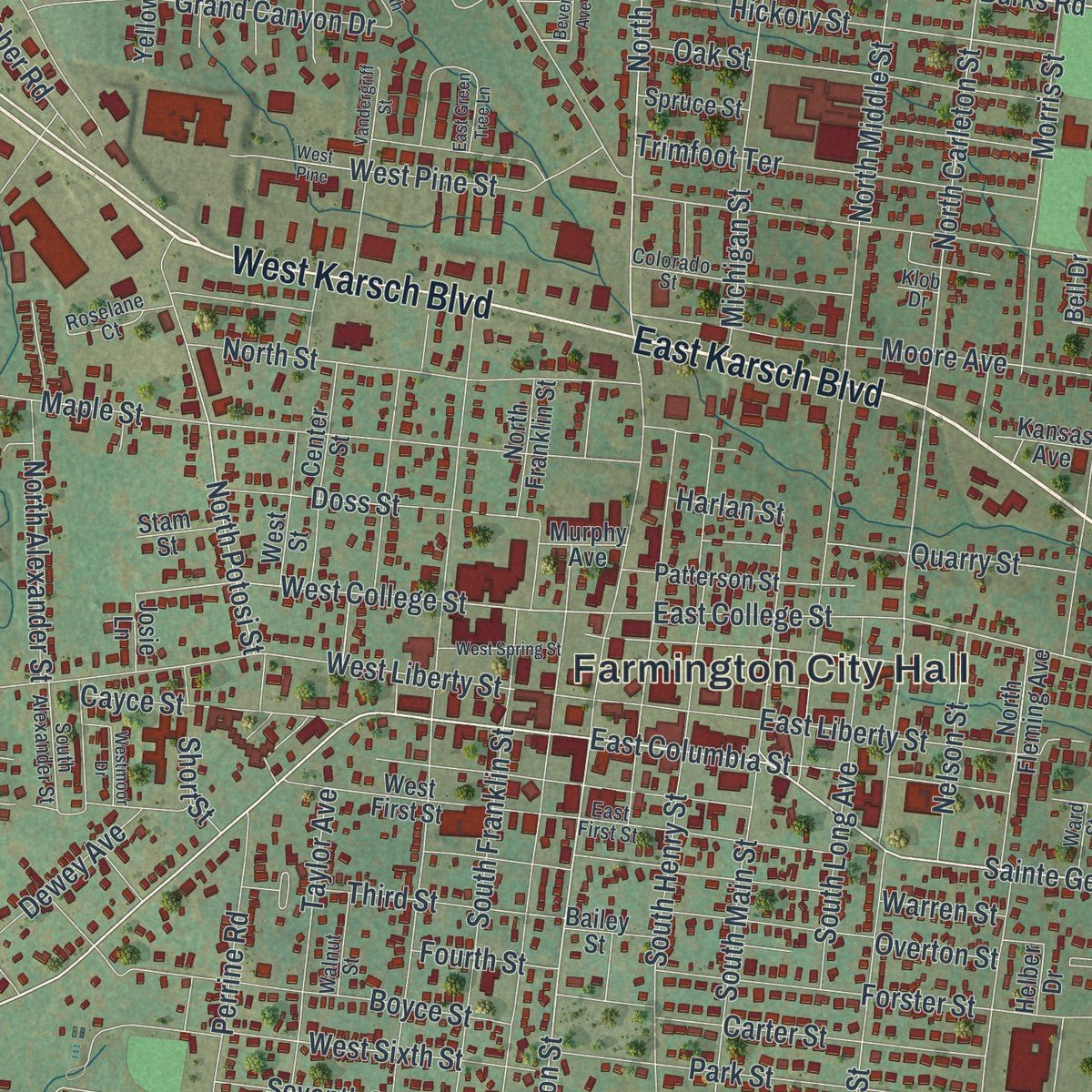
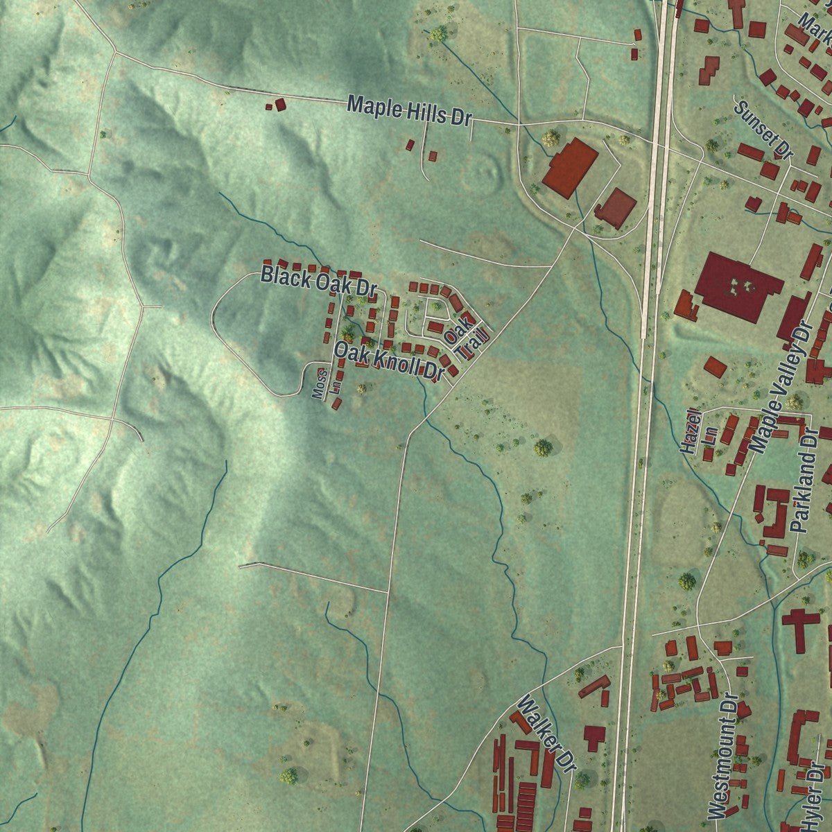
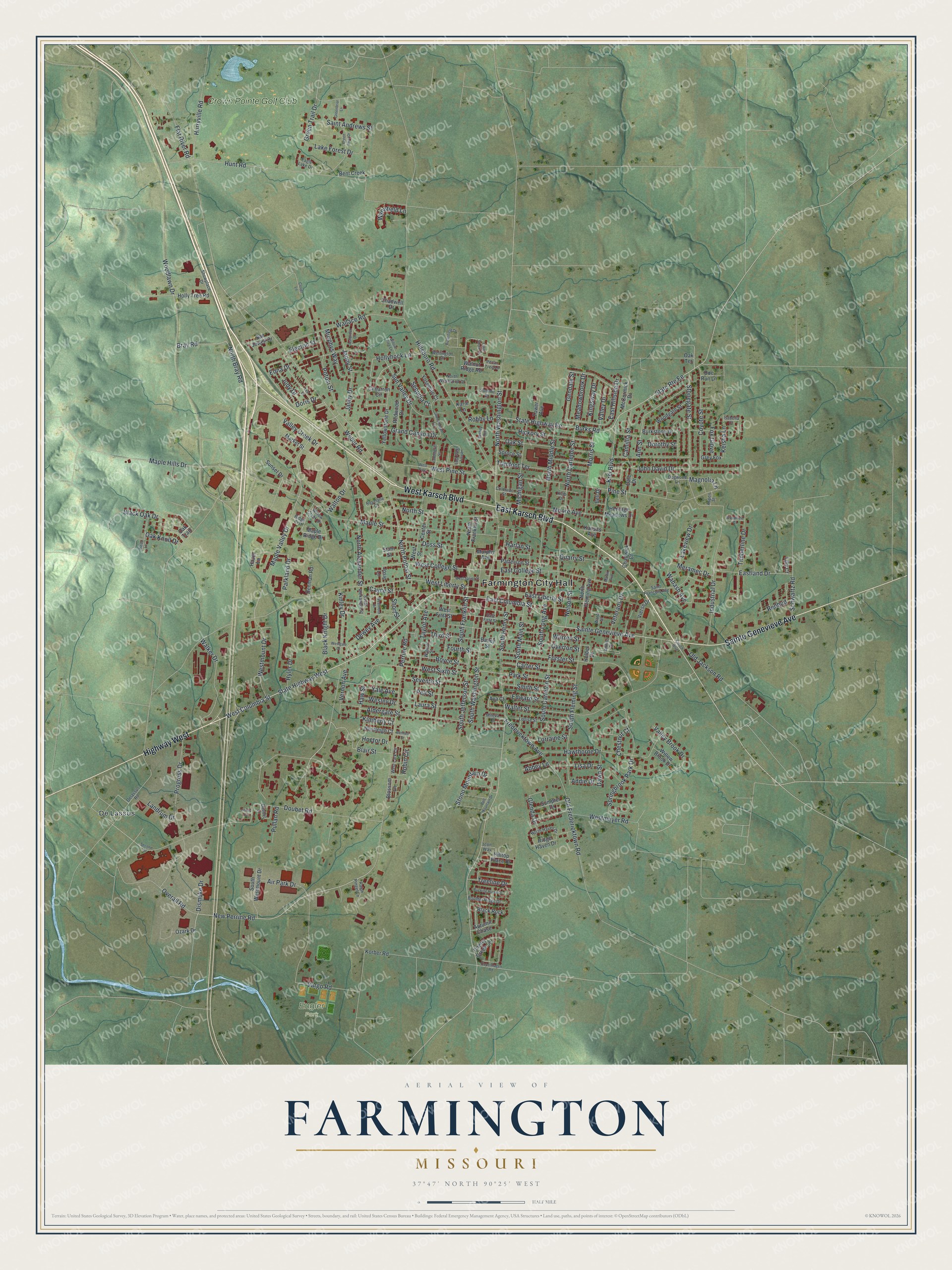
Explore Farmington, Missouri from a whole new perspective. Created using aerial imagery and detailed geographic data, this map captures Farmington building by building, with labeled streets, familiar landmarks, and shaded topographical relief that highlights the natural contours of the landscape.
Combining modern data with the timeless character of a vintage atlas, this map is just as interesting up close as it is beautiful on the wall. Whether you grew up in Farmington, spent memorable years there, or call it home today, this unique map is a great way to celebrate a place that means something to you. Zoom in on the preview to look for your street, and then order a print to put your memories on the wall.
Three ways to hang it
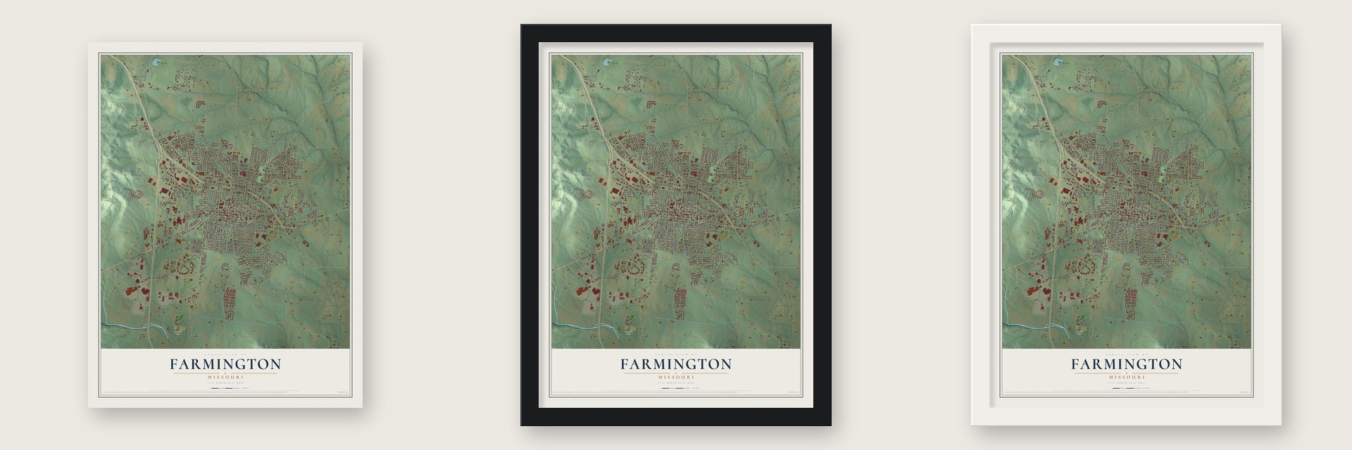
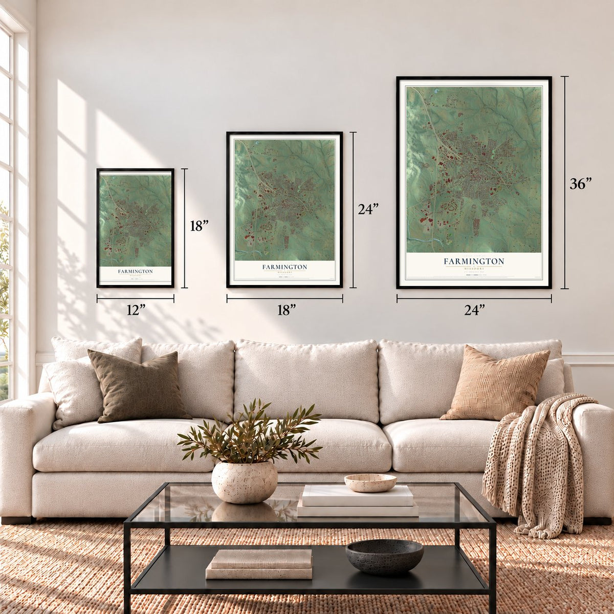
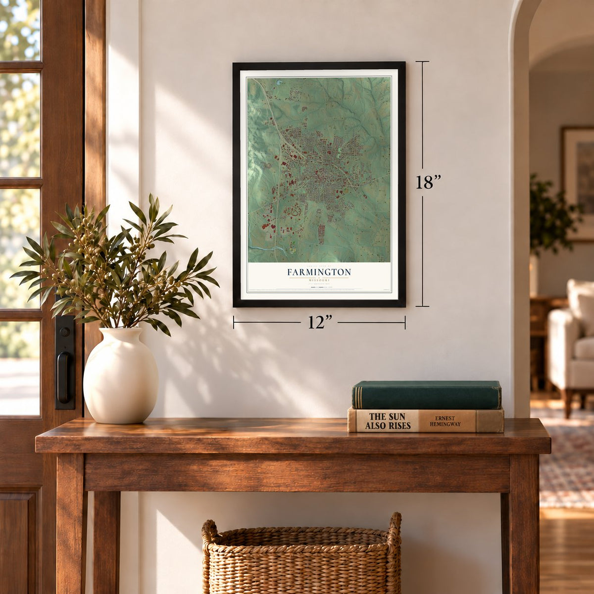
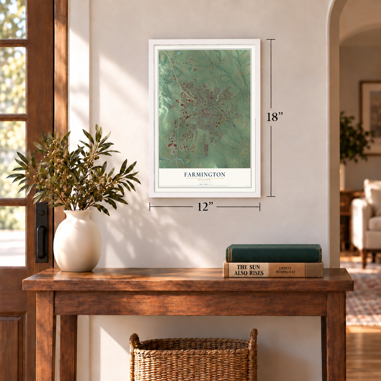
Unframed archival matte, a black wood frame or a white wood frame.
Up close
Geography Worth Displaying
This map was created using accurate cartographic data and authoritative geographic sources, including the U.S. Geological Survey and the Census Bureau. The map brings together terrain, waterways, roads, and building detail. The majority of the streets are labeled, houses are accurately depicted, and the topography is derived from government sources. Combining local data with carefully composed color and shading leads to this beautifully detailed Farmington artwork for your wall.
Rather than simply showing street outlines, we’ve included as many of the street names as we could reasonably fit on the map while keeping their names legible. Zoom in on the high resolution preview to see exactly what’s on the map. We truly set out to create a statement piece for anyone who loves Farmington. So whether it’s for you, or a gift for someone you love, we hope this map of Farmington brings back fond memories.
Read the story behind this map of Farmington, Missouri from 2026.
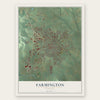
Find your street
Names on the Farmington map
Every name below is printed on this map. Look for your street, your school, the park where you played, or the pond down the road.
Places and landmarks4
- Farmington City Hall
- Engler Park
- De Lassus
- Crown Pointe Golf Club
Streets and roads267
- East Karsch Boulevard
- Sainte Genevieve Avenue
- West Karsch Boulevard
- Highway West
- State Highway West
- West Columbia Street
- New Perrine Road
- Overall Road
- Gendale Street
- Maple Valley Drive
- South Washington Street
- Wabash Avenue
- Hollyhock Lane
- Potosi Street
- Burks Road
- State Highway Ee
- Maple Hills Drive
- North Carleton Street
- West College Street
- Green Trail Drive
- Haw Street
- Perrine Road
- Hillsboro Road
- West Liberty Street
- Maple Street
- Doubet Road
- Pine Street
- Bray Road
- Woodlawn Drive
- Hunt Road
Show all 267 streets
- North Washington Street
- South Fleming Street
- Walter Street
- North Middle Street
- Springbrook Park Drive
- Weber Road
- Oak Street
- Forster Street
- Krei Boulevard
- Progress Drive
- Stonegate Street
- South Jefferson Street
- Air Park Drive
- Industrial Drive
- South Henry Street
- East College Street
- Aldergate Street
- Wallace Road
- Lakeview Drive
- Valley Brook Drive
- Boyce Street
- Hurryville Road
- East Liberty Street
- South Carleton Street
- West Sixth Street
- East Columbia Street
- North Bray Road
- Valley Creek Drive
- Old Jackson Road
- Taylor Avenue
- North Street
- Hawthorne Drive
- Morris Street
- Walker Drive
- John David Drive
- Treeline Drive
- Park Street
- North Potosi Street
- Carter Street
- Ann Street
- Hickory Street
- Old Fredericktown Road
- Coyote Street
- Trimfoot Terrace
- Timberline Drive
- Westmeyer Road
- South Franklin Street
- Westmount Drive
- Michigan Street
- Grand Canyon Drive
- Stono Mountain Drive
- South Main Street
- Sun Valley Drive
- Lake Forest Drive
- Black Knight Drive
- Overton Street
- Seventh Street
- Doss Street
- Eastland Drive
- State Route Ee
- West Pine Street
- Smith Street
- Edward Street
- Schwartz Road
- Warren Street
- Kinley Drive
- Fredericktown Avenue
- Vargo Road
- North Alexander Street
- Black Oak Drive
- Dewey Avenue
- Moore Avenue
- Cayce Street
- Veterans Drive
- Flat River Road
- Murphys Way
- Saint Andrews Street
- South Long Avenue
- Third Street
- Quarry Street
- Yale Avenue
- Vernon Avenue
- Meadowbrook Drive
- East Hillside Drive
- Nelson Street
- Glenda Drive
- Janey Street
- Hoctor Drive
- Parkland Drive
- Dawn Street
- Laura Street
- Camillia Street
- Lisa Drive
- Pell Street
- Janey Drive
- Valley Drive
- Blair Street
- Meramec Drive
- Kingsway Drive
- Keisha Lane
- Walton Drive
- Chestnut Court
- Judy Drive
- Lorraine Street
- Oak Knoll Drive
- Wynnfield Lane
- Hyler Drive
- Dorothy Street
- Pullan Road
- Wesley Drive
- Kimberly Court
- Fox Glove
- Robby Lane
- Electric Street
- Short Street
- Magnolia Lane
- Fourth Street
- Dismuke Drive
- Landrum Drive
- Sequoia Court
- Redbud
- Edna Drive
- Addie Drive
- Doris Drive
- Abbey Lane
- Harlan Street
- Robin Circle
- Ozark Drive
- Sunset Drive
- Oak Trail
- Maple Ridge Drive
- Hilltop Place Drive
- North Franklin Street
- Cherry Creek Lane
- Center Street
- Yellowstone Drive
- West First Street
- Burkstone Drive
- Holly Tree Road
- Spruce Street
- Cimarron Circle
- Patterson Street
- South Westmount Drive
- Redwood Drive
- Black Rock
- Woodgate Street
- Market Street
- Hazel Lane
- Vierse Drive
- Heritage Meadows Drive
- Ava Court
- Autumn Chase
- Kansas Avenue
- Sumpter Drive
- San Jewell Drive
- West Street
- Chadwick Court
- Walnut Ridge Road
- Willow Brook Drive
- McCormick Drive
- North Fleming Avenue
- Huntleigh Court
- Ridge Haven Drive
- Denman Road
- Yosemite Court
- Bent Creek
- Dale Drive
- Korber Road
- Helber Drive
- Bell Drive
- Blossom Lane
- Tower Avenue
- Chadwell Drive
- Doe Run Lane
- Grey Fox
- Lilly Court
- Bailey Street
- Stam Street
- Murphy Avenue
- Josie Lane
- Oak Terrace
- Karie Lane
- Louise Street
- East First Street
- Saint Francois Avenue
- Colorado Street
- Mileva Court
- Roselane Court
- North Haven Drive
- Dogwood Lane
- Wellington Place
- Willow Creek Drive
- Summit Drive
- Boulder Ridge Drive
- Ralph Pingel Lane
- Doubet Lane
- North Westwood Drive
- West Lark Circle
- Isabella Court
- South Alexander Street
- Eagle Lake Drive
- Showplace Drive
- Walnut Street
- Delassus Road
- Airline Drive
- Ward Street
- Pecan Tree Lane
- Ridge Crst
- Aspen Street
- Icon Way
- Klob Drive
- Karsch Boulevard
- Butterfield Drive
- Copenhagen Road
- Green Briar Drive
- Ashbrook Drive
- Shenandoah Drive
- Vandergriff Street
- Lee Drive
- Moss Lane
- West Spring Street
- Bucking Horse Drive
- East Green Tree Lane
- Greenbriar Lane
- Westmoor Drive
- Lake Shore Drive
- Bell Mountain Drive
- Westgate Drive
- Willow Tree Lane
- Woodfield Court
- West Pine
- Second Street
- Beverly Avenue
- Bennett Street
- Clover Lane
- Martin Avenue
- Jenny Court
Names are listed as they appear on the printed map. Zoom into the product photos to find them.
About Farmington, Missouri
Farmington is a city of 18,217 people and the county seat of St. Francois County, in Missouri's Lead Belt. William Murphy came here from Kentucky in 1798, while the land west of the Mississippi was still under Spanish rule. Tradition says a Native American guide, likely Osage, led him to a spring, and he won a Spanish land grant to settle his family beside it. Murphy died on a trip back to Kentucky, so his wife Sarah and their grown sons founded Murphy's Settlement around 1800.
The Louisiana Purchase made the settlement American in 1803, and it got a post office in 1817. Missouri became a state in 1821. The next year William Crawford Murphy gave 52 acres for the seat of the new county, and Henry Poston laid out the town. For a short time it was called St. Francois Court House, and in 1825 it became Farmington, named for the good farmland around it.
- A Sunday school in secretSarah Murphy began a Sunday School that is remembered as the earliest Protestant one on the western side of the Mississippi River. Under Spanish rule, only Roman Catholic worship was allowed, so she and her students had to hold their lessons in hiding.
- The Plank RoadIn the middle of the 1800s, a plank road was built from Pilot Knob to Ste. Genevieve. Wagons carried supplies from the river landings to the mines and hauled iron ore back to the boats, and Farmington grew from the better access to goods and markets. The St. Louis, Iron Mountain and Southern Railway soon took over the route.
- Town, village, then cityFarmington incorporated in 1836, when it was still a town, and it took the status of a village in 1856. Its first public school was built in 1870. The town was named a fourth-class city in 1879 and moved up to a third-class city in 1981.
- The McCormick HouseJames Robinson McCormick of Farmington served in the U.S. House of Representatives. His house at 324 West Columbia Street joined the National Register in 1998.
Keep exploring Missouri
Farmington is one of 1,207 Missouri towns we've mapped. Every dot on the map is a print of its own.
The search covers every state, Missouri first.
Near Farmington
Order 2 or more town maps and save 10%. Shown in the size and finish you picked above, so they hang as a set.
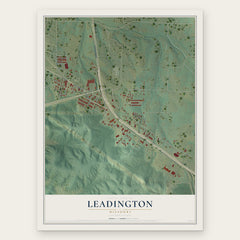
- Leadington 12" x 18" / Archival Matte Print $39.99
- Park Hills 12" x 18" / Archival Matte Print $39.99
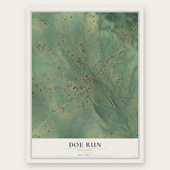
- Doe Run 12" x 18" / Archival Matte Print $39.99

More maps nearby: Knob Lick, Desloge, Leadwood, Wortham and Bismarck.
The art of mapping a place
How This Map Was Made
Real places. Remarkable detail. Discover the layers that turn geographic data into a map of home.

The view from above
Aerial imagery reveals the character of the land: woodland, open fields, and the patterns of a place.

The shape of the land
Elevation data brings hills, valleys, and subtle changes in the landscape into view.

The details of home
Roads, waterways, and building footprints come together to make the map feel unmistakably local.

Geography becomes art
Considered color, shading, and typography bring the layers together in a map made for your wall.


Process illustrated with Mendon, Massachusetts. Aerial imagery: USDA NAIP. Terrain: USGS 3D Elevation Program. Map details and finished artwork: KNOWOL.
The Details
About This Print
Choose an archival matte print, or a black or white Ayous wood frame. The archival matte print is unframed.
Select your size and finish above to see the matching product image and price.
Materials & Craftsmanship
A contemporary map with the character of a classic atlas, printed on archival matte paper. Optional frames are made from Ayous wood.
Your printed map does not include the watermark shown in the full-map preview.
Shipping & Delivery
Free shipping within the United States. Every print is made to order in the USA.
Buying a gift? Add a note in your cart and we'll include it. We never put prices in the package.
Prints ship within 2 to 3 business days. Allow 7 to 10 days total from ordering for delivery. Timing may vary during holidays or periods of high order volume.
Read our shipping policy.
Returns and damaged prints
Each print is made to order. Change-of-mind refunds are not available after production.
If your print arrives damaged, misprinted or incorrect, contact support@knowol.com within 30 days of receiving it. Include your order number, photos and a description of the issue.
Read our full refund and replacement policy. For questions about your order, email support@knowol.com.