
Search for another town





Free U.S. delivery 7 to 10 days after you order
Fayetteville, Georgia Map Art
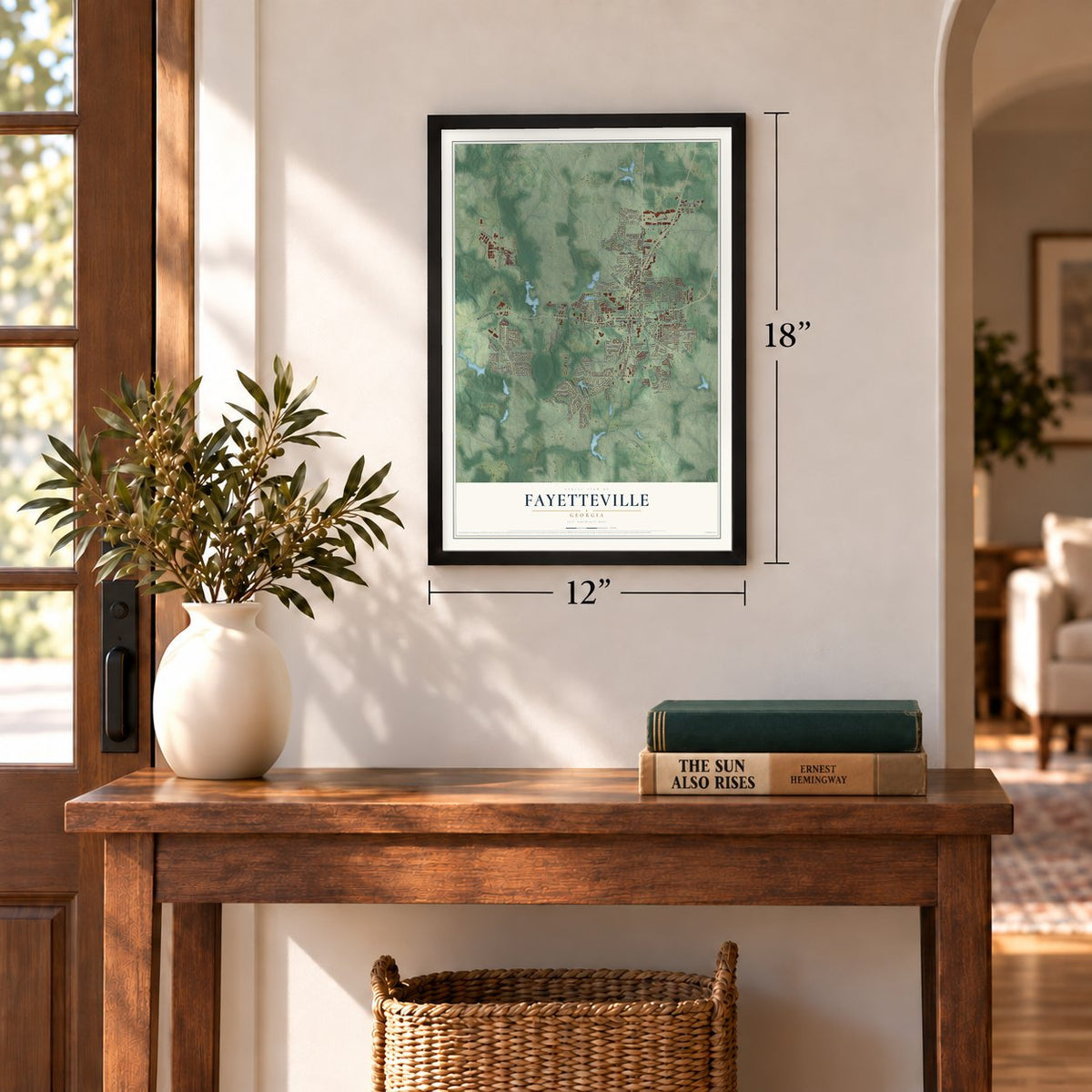
A new map of Fayetteville, Georgia, made in 2026 and printed to order on thick archival matte paper.
12" x 18" Archival Matte Print
A Map of Home. A Work of Art.
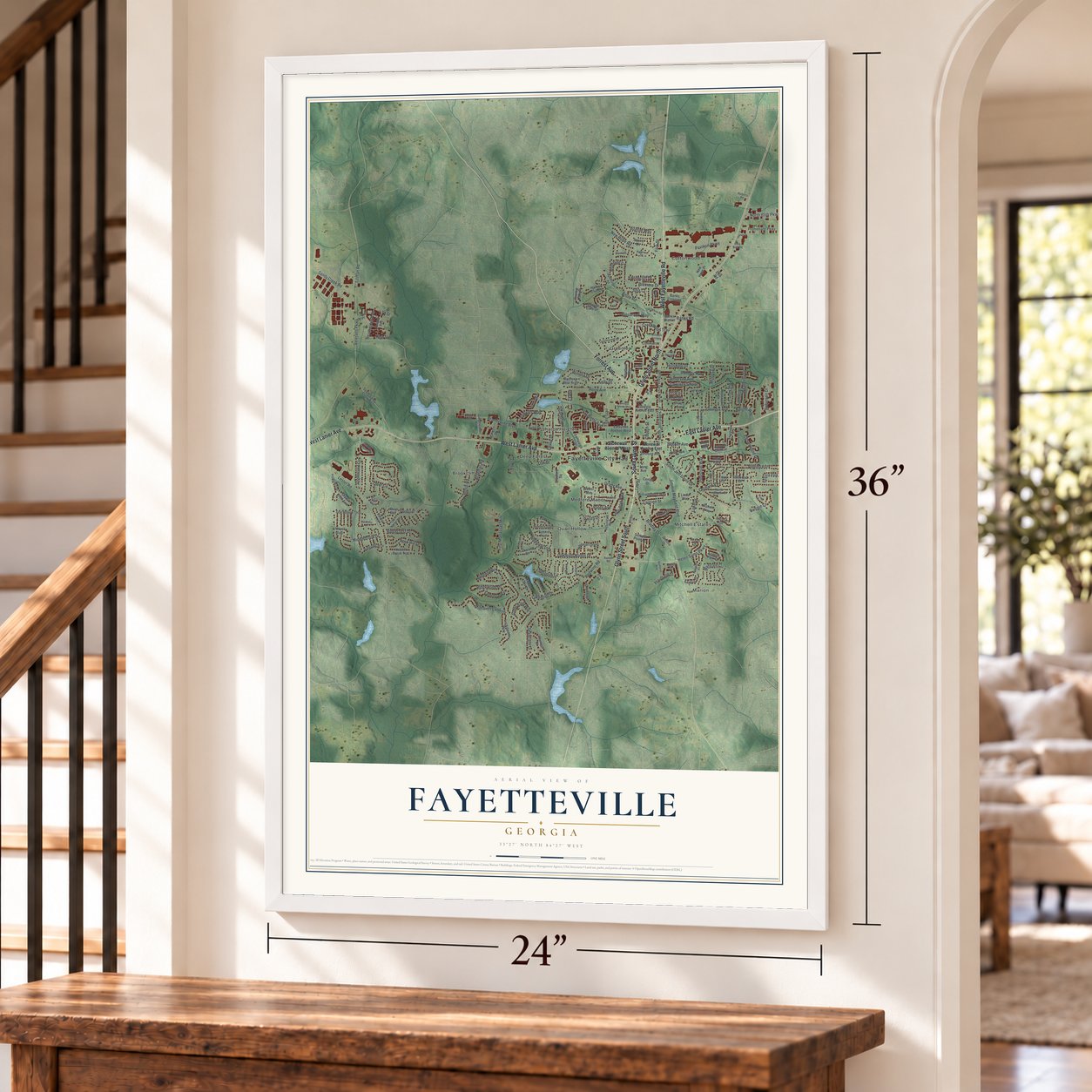
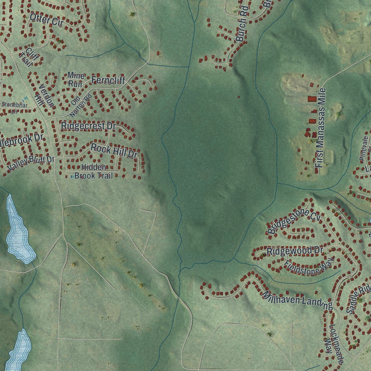
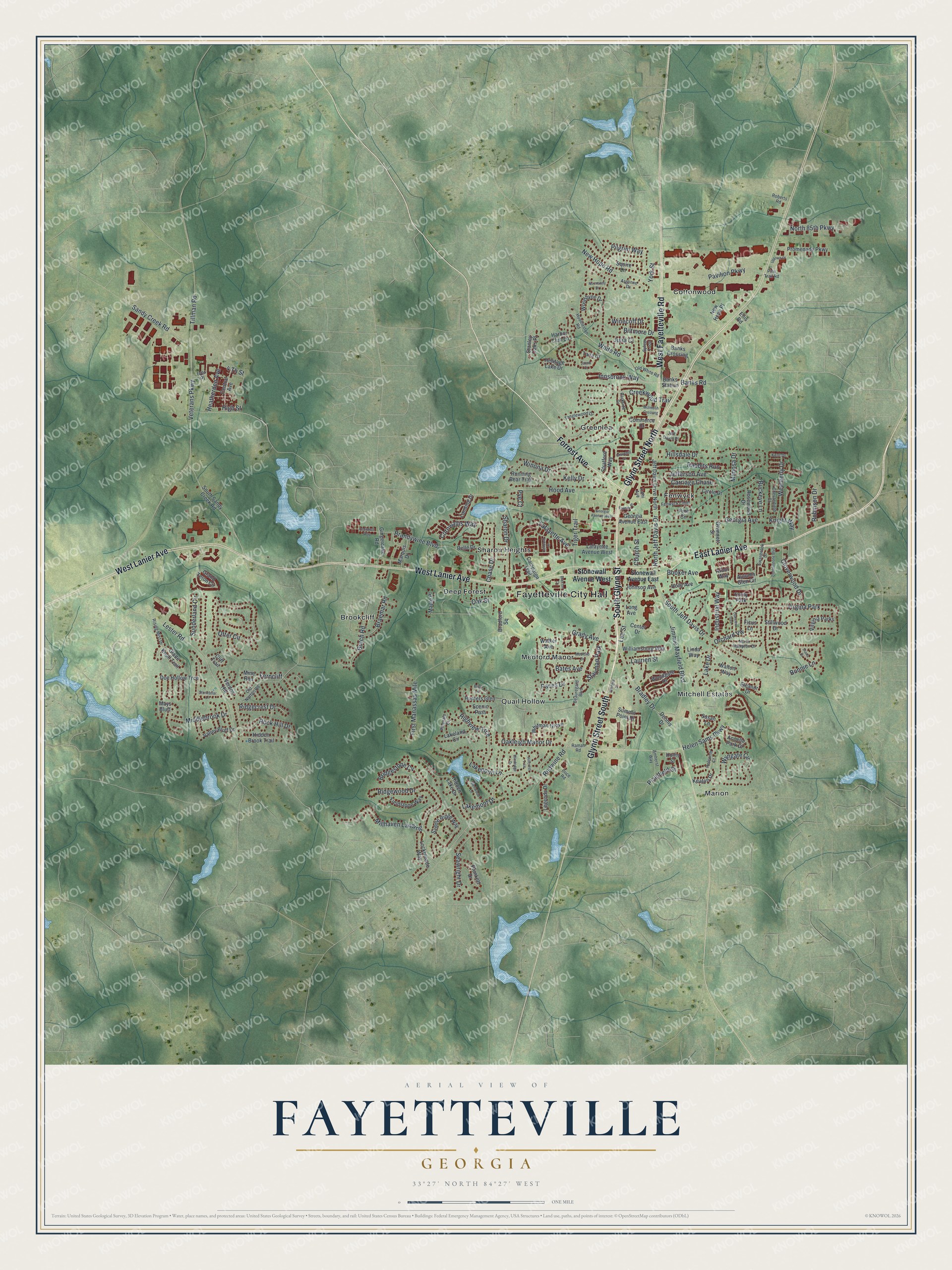
Explore Fayetteville, Georgia from a whole new perspective. Created using aerial imagery and detailed geographic data, this map captures Fayetteville building by building, with labeled streets, familiar landmarks, and shaded topographical relief that highlights the natural contours of the landscape.
Combining modern data with the timeless character of a vintage atlas, this map is just as interesting up close as it is beautiful on the wall. Whether you grew up in Fayetteville, spent memorable years there, or call it home today, this unique map is a great way to celebrate a place that means something to you. Zoom in on the preview to look for your street, and then order a print to put your memories on the wall.
Three ways to hang it
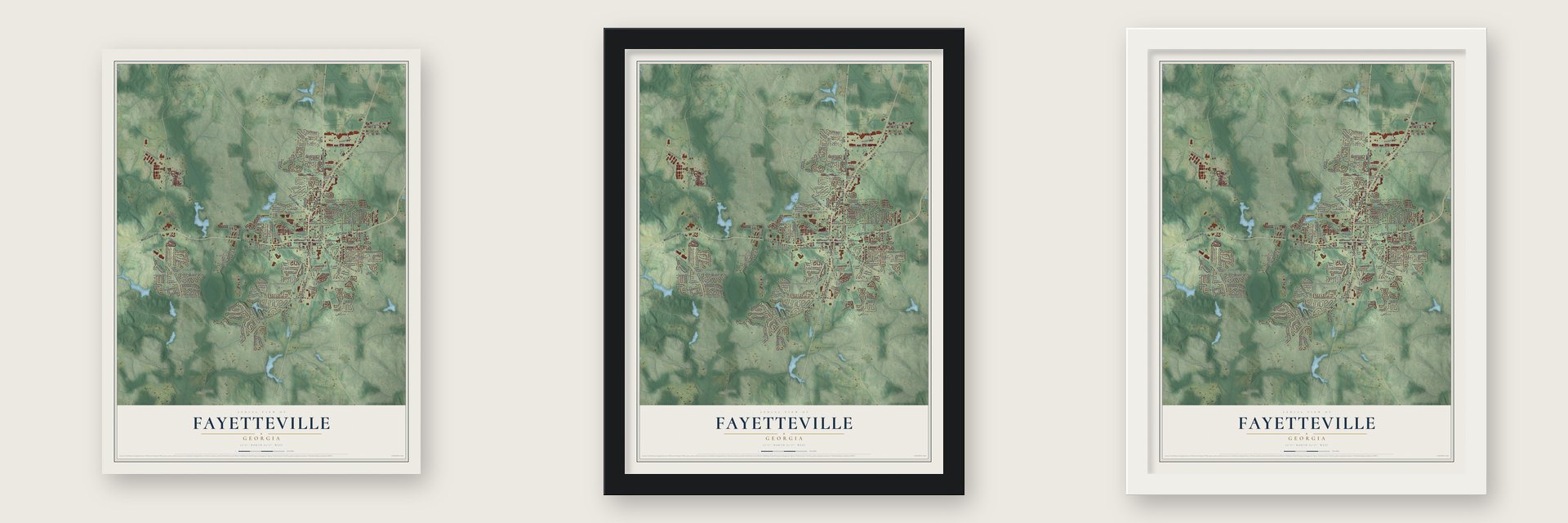
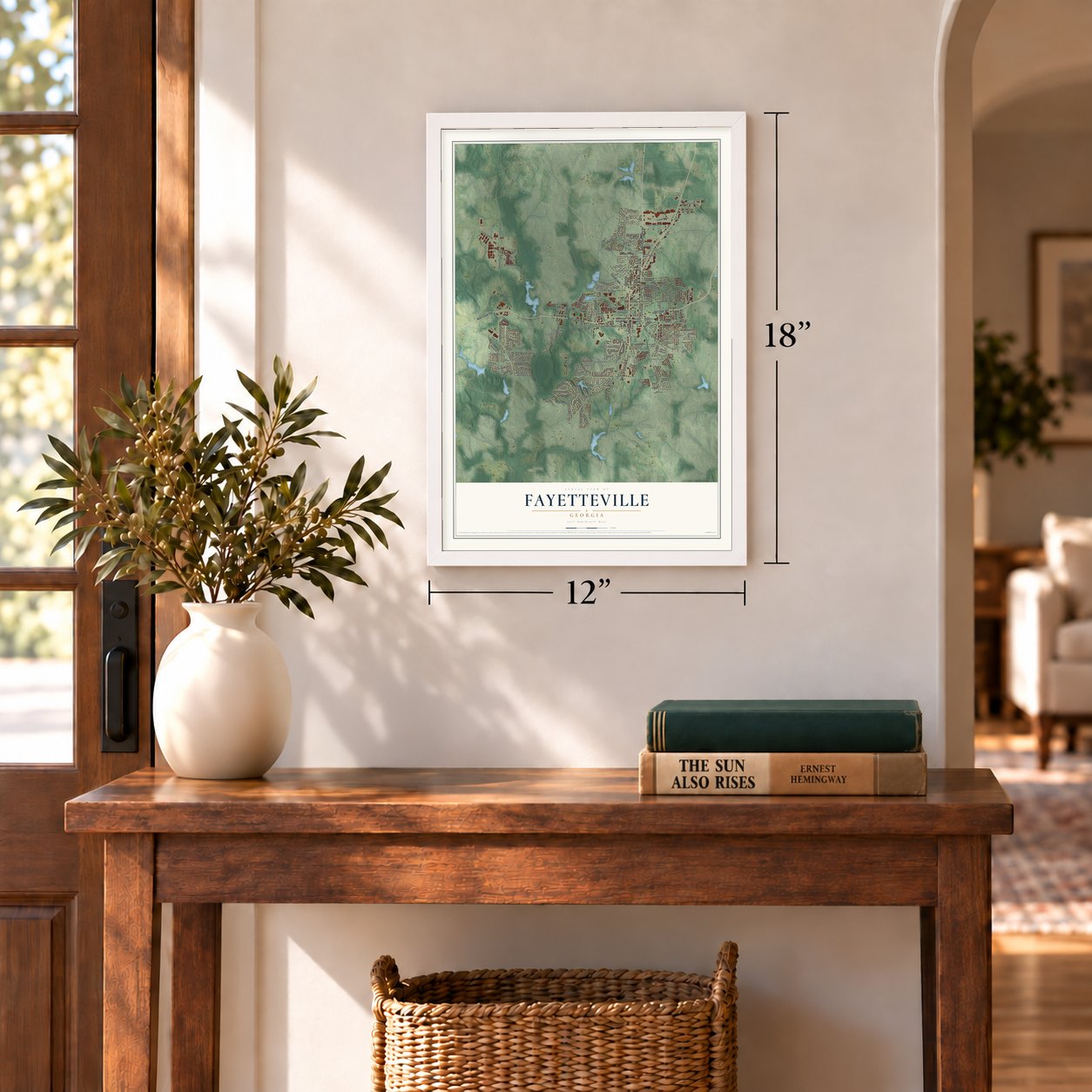
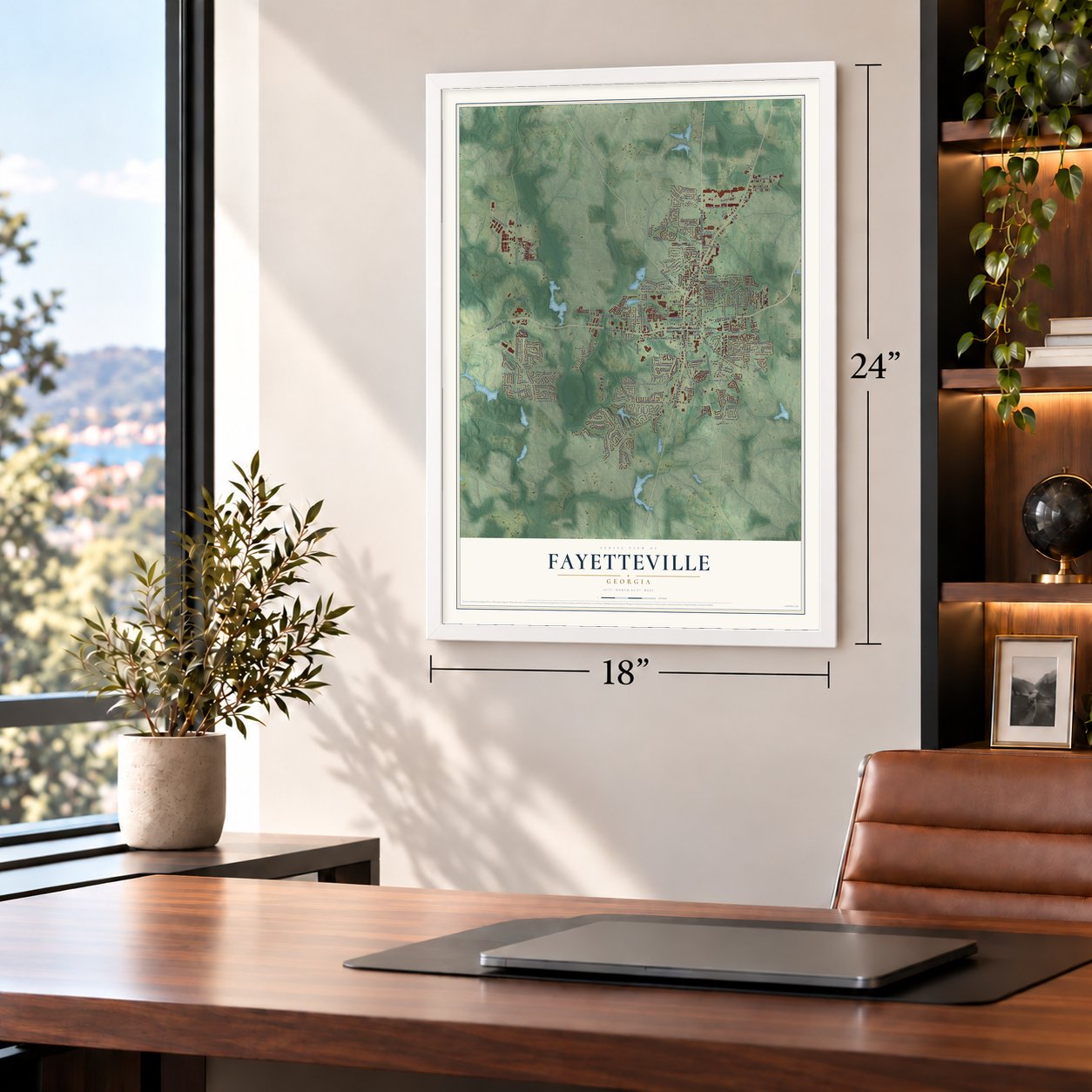
Unframed archival matte, a black wood frame or a white wood frame.
Up close
Geography Worth Displaying
This map was created using accurate cartographic data and authoritative geographic sources, including the U.S. Geological Survey (USGS) and FEMA. The map brings together terrain, waterways, roads, and building detail. The majority of the streets are labeled, houses are accurately depicted, and the topography is derived from government sources. Combining local data with carefully composed color and shading leads to this beautifully detailed Fayetteville artwork for your wall.
Rather than simply showing street outlines, we’ve included as many of the street names as we could reasonably fit on the map while keeping their names legible. Zoom in on the high resolution preview to see exactly what’s on the map. We truly set out to create a statement piece for anyone who loves Fayetteville. So whether it’s for you, or a gift for someone you love, we hope this map of Fayetteville brings back fond memories.
Explore the full map of Fayetteville, Georgia and read about the local places it shows.

About Fayetteville, Georgia
Fayetteville is the seat of Fayette County, 22 miles south of central Atlanta. Created in 1822 as the county seat, it arose on territory the United States had compelled the Creek people to cede. The community became a cotton trading center within a plantation economy dependent on enslaved Black labor.
- Municipal MilestonesFayetteville was incorporated as a town in 1823 and attained city status in 1902.
- Lafayette NamesakeFayetteville and Fayette County were named for the Marquis de Lafayette, a French hero of the Revolutionary War.
- Courthouse LandmarkBuilt in 1825, the Fayette County Courthouse is Georgia's oldest surviving courthouse and now serves as a local welcome center.
- Population ChangeThe city's population grew from 2,715 in 1980 to 18,957 in 2020.
- Film ProductionThe complex now called Trilith Studios opened in 2014 under the name Pinewood Atlanta Studios.
Find your street
Names on the Fayetteville map
Every name below is printed on this map. Look for your street, your school, the park where you played, or the pond down the road.
Places and landmarks14
- Fayetteville City Hall
- Brookcliff
- Cottonwood
- Deep Forest
- Fenwyck
- Greenlea
- Marion
- Medford Manor
- Mitchell Estates
- Quail Hollow
- Sharon Heights
- Virgina Park
Show all 14 places
- Stayman Park
- Emily Park
Streets and roads200
- Glynn Street North
- East Lanier Avenue
- Forrest Avenue
- South Glynn Street
- Glynn Street South
- West Fayetteville Road
- West Lanier Avenue
- White Road
- Ferncliff
- Banks Road
- Veterans Parkway
- Kelly Drive
- Pavilion Parkway
- Redwine Road
- Hood Avenue
- Sandy Creek Road
- South Jeff Davis Drive
- Lester Road
- Millhaven Landing
- Jimmie Mayfield Boulevard
- Hillsdale Drive
- North Jeff Davis Drive
- Creekwood Trail
- Otter Circle
- Grady Avenue
- New Hope Road
- Lafayette Avenue
- Sunderland Circle
- Georgia Avenue
- Helen Sams Parkway
Show all 200 streets
- Bradley Drive
- Ridgewood Drive
- Lakepoint Lane
- Seawright Drive
- Wyngate Circle
- Lakemont Drive
- Weatherly Drive
- Plainfield Street
- Tiger Trail
- Brandywine Boulevard
- Cornwallis Way
- Lee Street
- Winona Drive
- Church Street
- Jefferson Avenue
- Highview Trce
- Oakleigh Manor Drive
- Buckeye Lane
- North 85th Parkway
- Innsbrook Way
- Bonnie Lane
- Rabbits Run
- Rock Hill Drive
- Sharon Drive
- Burch Road
- Pilgrim Way
- Mimosa Drive
- Cloverwood Drive
- Orchard Vw
- Bridgestone Cv
- Oak Street
- Middlebrook Drive
- Chase Drive
- Booker Avenue
- First Manassas Mile
- Braemar Road
- Industrial Way
- Carriage Chase
- Lake Drive
- Julia Court
- Ridgecrest Drive
- Tillman Road
- Heatherden Avenue
- Paces Drive
- Robinson Drive
- 4 Th Street
- Pye Court
- Knight Way
- Biltmore Drive
- Laurien Street
- Winecoff Drive
- Bates Avenue
- High Street
- York Street
- Stonewall Avenue West
- Commerce Drive
- Autumn Glen Circle
- Banks Station
- Jeff Davis Drive North
- Woodbyne Drive
- Campaign Trail
- Heritage Lake Drive
- Saddle Ridge Way
- Hidden Lake Drive
- Doe Hollow Trce
- Hidden Brook Trail
- Lafayette Avenue West
- Walker Avenue
- Circle Drive
- Center Drive
- Rosewood Drive
- Grand Teton Circle
- Hunters Glen
- Squire Lane
- Woodgate Drive
- Lockmeade Way
- Legends Drive
- Whitman Grove
- Williamsburg Way
- Bradford Square
- Banks Crossing
- Fieldstone Way
- Scenic Pass
- Johnson Avenue
- Keaton Drive
- Promenade Parkway
- Summit Point Drive
- Gingercake Road
- Central Avenue
- South Sandy Creek Road
- Georgia Avenue East
- Belle Drive
- Stillwood Drive
- Susan Lane
- Valley Bluff Drive
- Glade Knoll Trail
- Holly Avenue
- Plunkett Drive
- Landing Drive
- Virginia Parks
- Annelle Park Drive
- Gwinnett Street
- Tana Drive
- Marquis Drive
- Lakeland Circle
- Running Bear Trail
- Harbor Club Lane
- Hollis Street
- Linda Way
- Walton Way
- Stratford Way
- Verdon Hill
- Stanley Oaks Place
- Pine Circle
- Dennis Drive
- Maple Place
- New Hope Place
- Eleanor Drive
- Mays Bluff
- Ficus Lane
- Iver Place
- Arbor Way
- Cliff Trail
- Mine Run
- Ellis Road
- Long Avenue
- Stonewall Avenue East
- Huddleston Road
- Sylvan Loop
- Beauregard Boulevard
- Old Norton Road
- Argonne Drive
- Swanbrook Drive
- Jeff Davis Place
- Fenwyck Cmns
- Kathi Avenue
- North Hampton Drive
- Chesterfield Court
- Tanglewood Drive
- Rising Mist Drive
- Ramah Road
- Holcomb Court
- Amherst Way
- Old White Road
- Pinevale Court
- Price Road
- Parkside Drive
- Roberts Road
- Pine Trail Road
- Kent Drive
- Churchill Court
- Cobblestone Boulevard
- Medford Drive
- Whitney Street
- Normandy Drive
- Uptown Drive
- Rehobeth Way
- Glenwood Lane
- Diana Drive
- Oakview Trce
- Georgia Avenue West
- Stonebriar Lane
- Briar Lane
- Jacob Court
- Windridge Drive
- Braxton Court
- McIntosh Crossing
- Fayette Place
- Hillcrest Trce
- Concord Court
Names are listed as they appear on the printed map. Zoom into the product photos to find them.
The art of mapping a place
How This Map Was Made
Real places. Remarkable detail. Discover the layers that turn geographic data into a map of home.

The view from above
Aerial imagery reveals the character of the land: woodland, open fields, and the patterns of a place.

The shape of the land
Elevation data brings hills, valleys, and subtle changes in the landscape into view.

The details of home
Roads, waterways, and building footprints come together to make the map feel unmistakably local.

Geography becomes art
Considered color, shading, and typography bring the layers together in a map made for your wall.


Process illustrated with Mendon, Massachusetts. Aerial imagery: USDA NAIP. Terrain: USGS 3D Elevation Program. Map details and finished artwork: KNOWOL.
The Details
About This Print
Choose an archival matte print, or a black or white Ayous wood frame. The archival matte print is unframed.
Select your size and finish above to see the matching product image and price.
Materials & Craftsmanship
A contemporary map with the character of a classic atlas, printed on archival matte paper. Optional frames are made from Ayous wood.
Your printed map does not include the watermark shown in the full-map preview.
Shipping & Delivery
Free shipping within the United States. Every print is made to order in the USA.
Buying a gift? Add a note in your cart and we'll include it. We never put prices in the package.
Prints ship within 2 to 3 business days. Allow 7 to 10 days total from ordering for delivery. Timing may vary during holidays or periods of high order volume.
Read our shipping policy.
Returns and damaged prints
Each print is made to order. Change-of-mind refunds are not available after production.
If your print arrives damaged, misprinted or incorrect, contact support@knowol.com within 30 days of receiving it. Include your order number, photos and a description of the issue.
Read our full refund and replacement policy. For questions about your order, email support@knowol.com.
Find your town
Looking for another city?
Find a map of home in our Georgia collection, or any town in the country.
Nearby
Maps of towns near Fayetteville
Know someone from one of these towns? Their map makes a great gift.
 Harp
Harp, Georgia
From $39.99See the map
 Inman
Inman, Georgia
From $39.99See the map
 Sandy Creek
, Georgia
From $39.99See the map
More maps nearby: Whitewater, Irondale, Peachtree City, Woolsey and Tyrone.