
Search for another town
Free U.S. delivery 7 to 10 days after you order
Whitewater, Georgia Map Art
Building by building, with labeled streets and shaded relief.
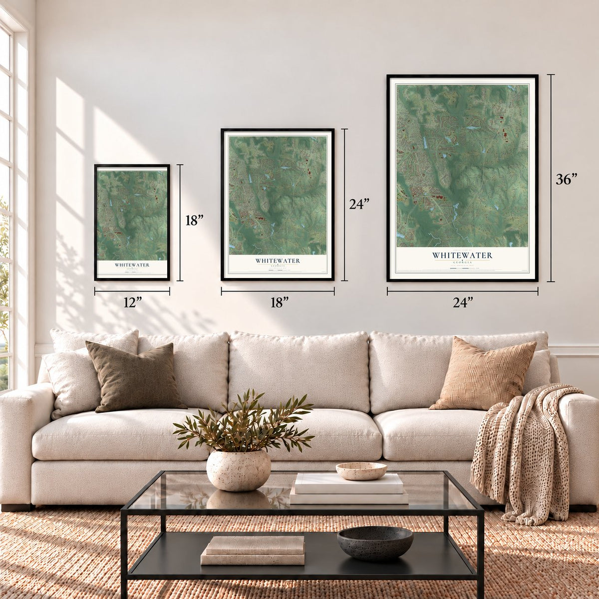
12" x 18" Archival Matte Print
A Map of Home. A Work of Art.
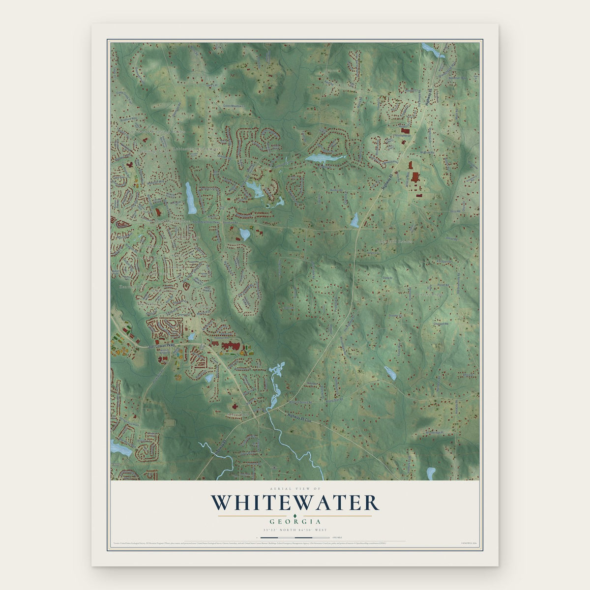
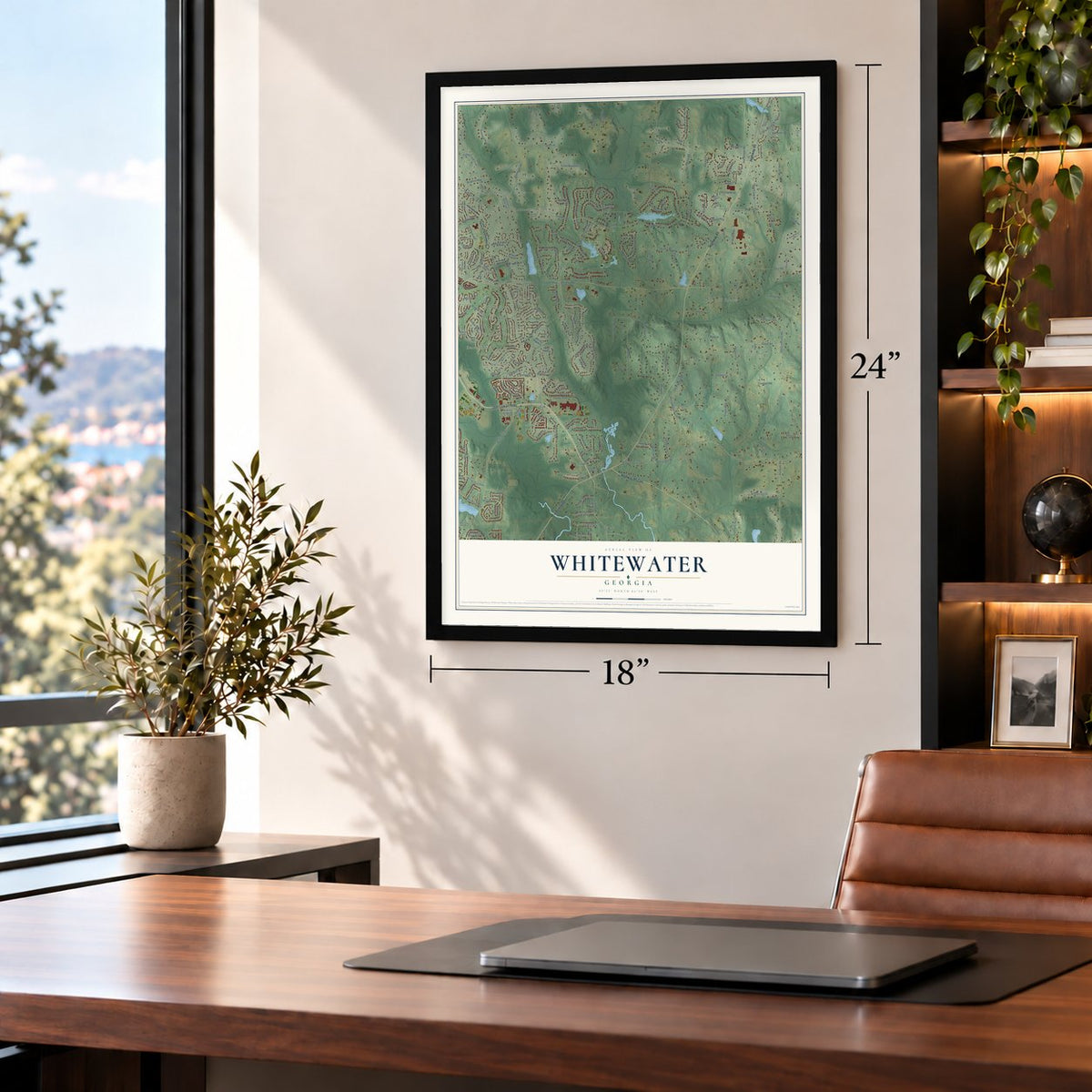
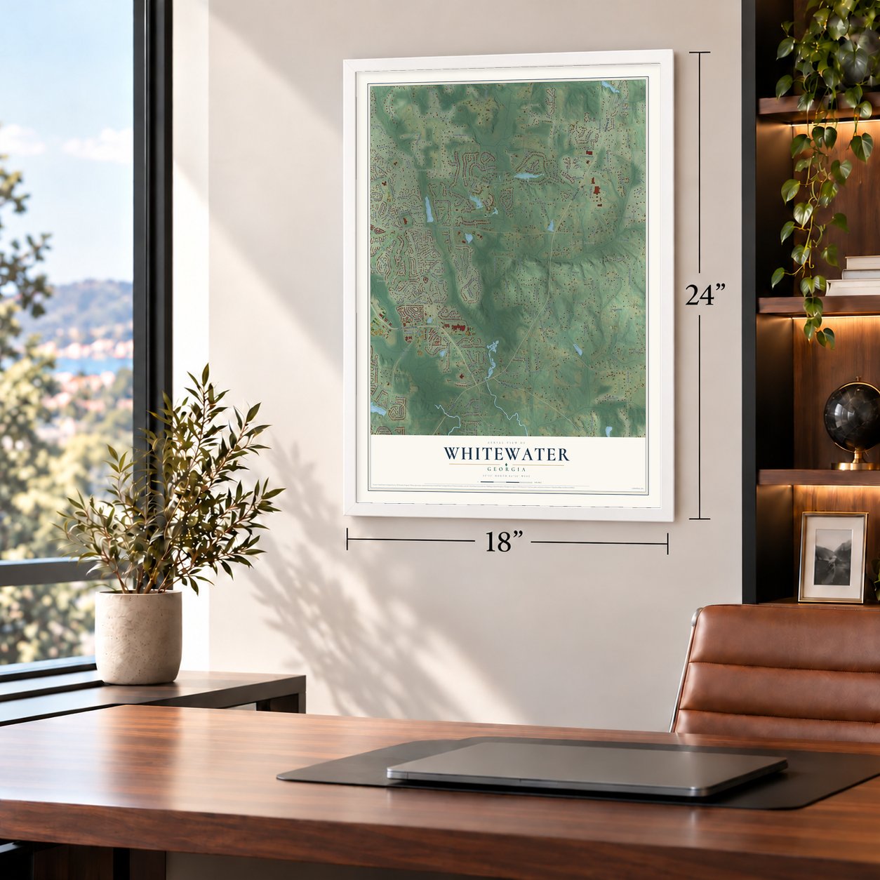
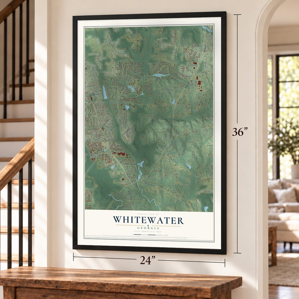
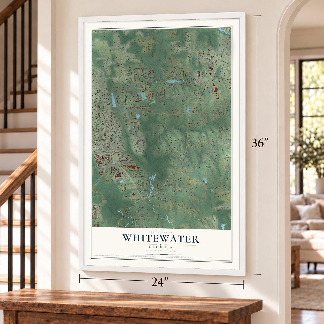
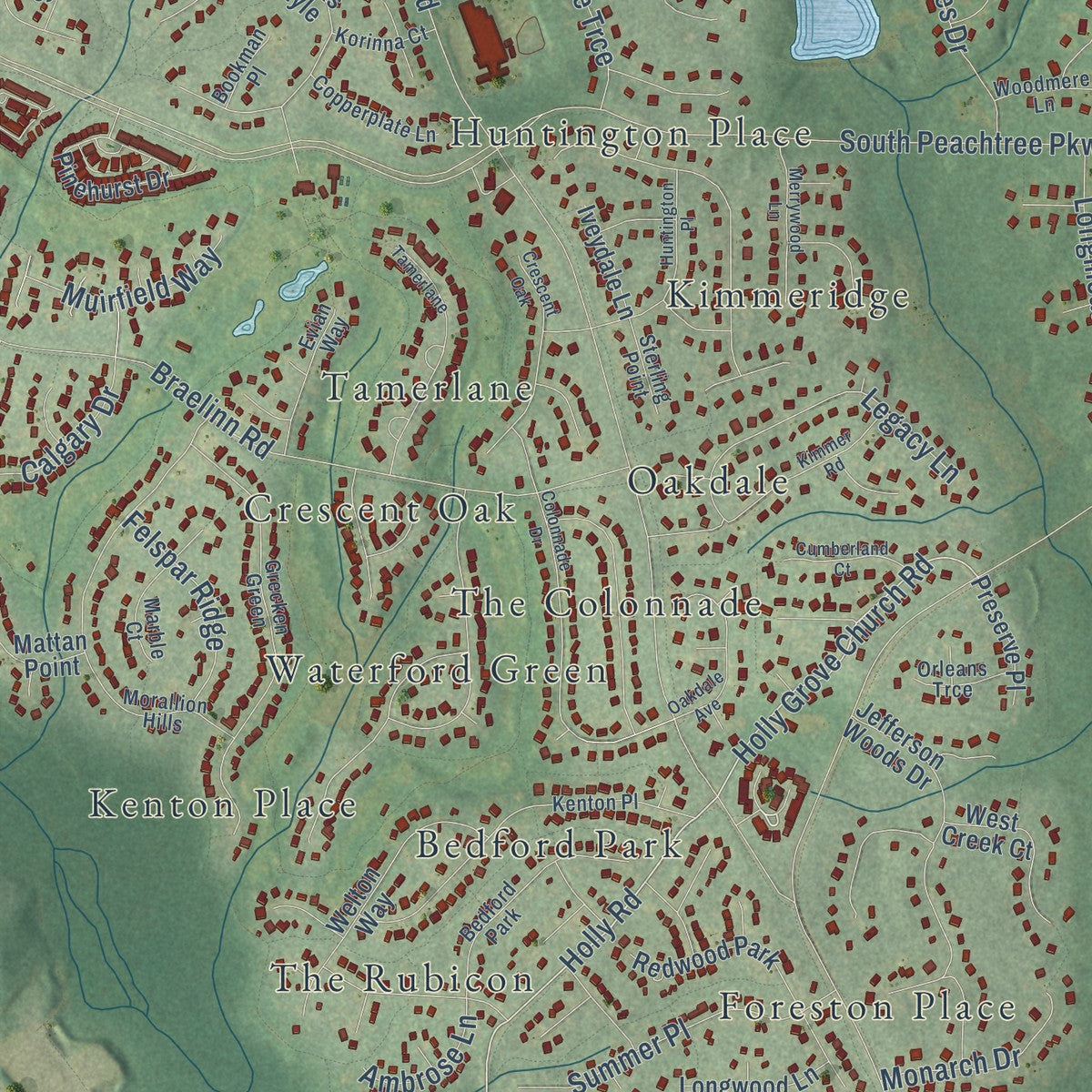
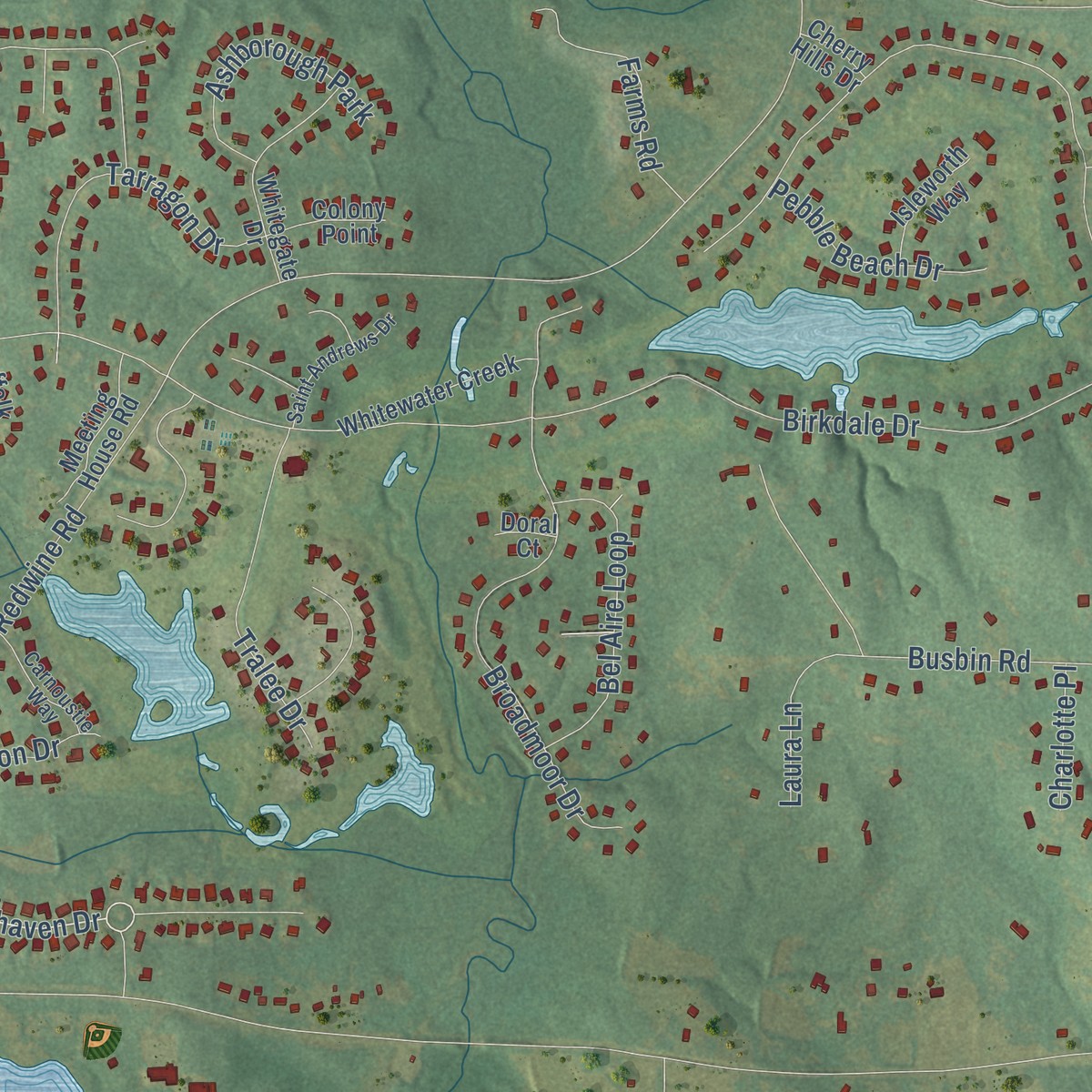
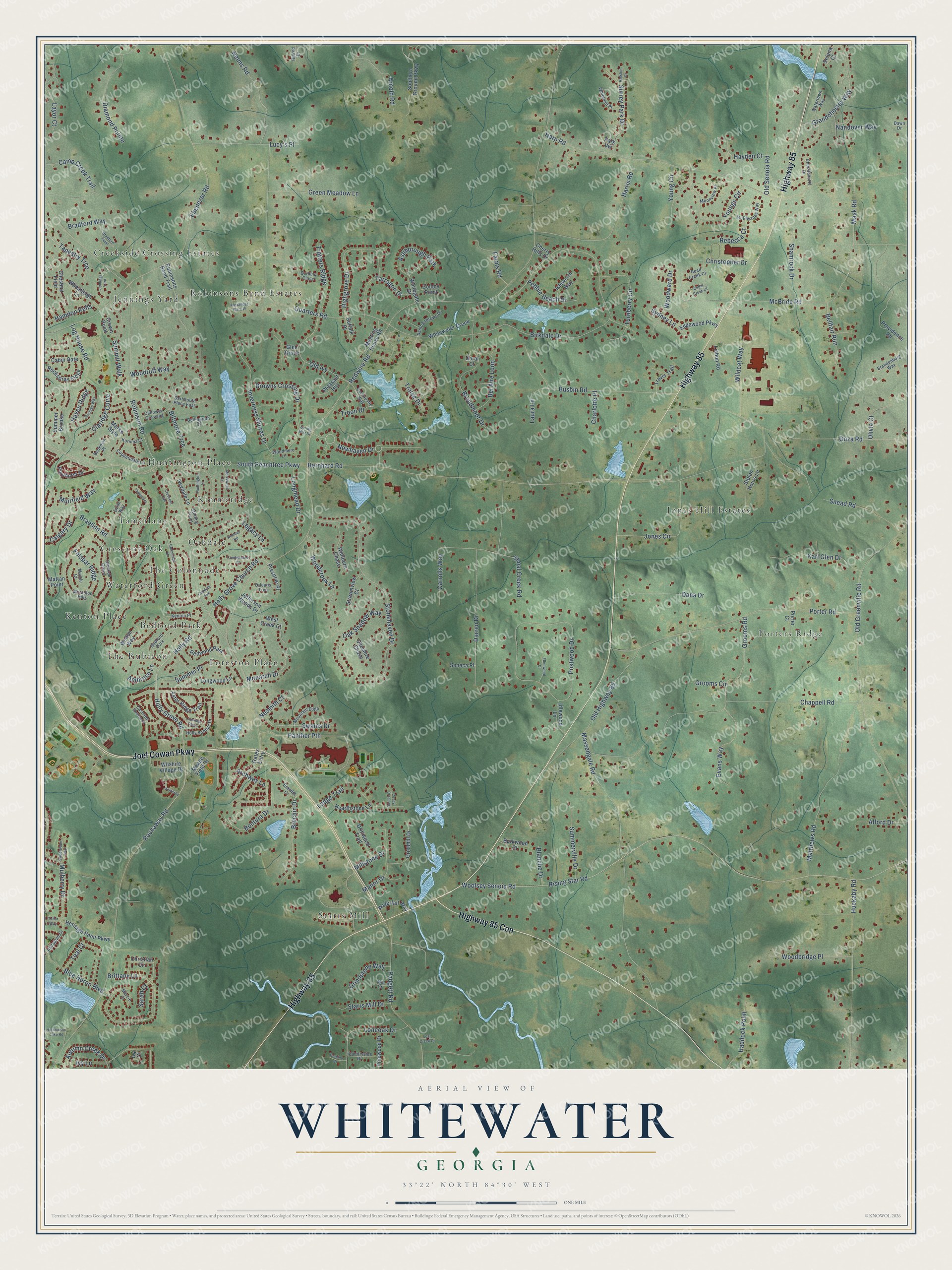
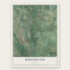
Explore Whitewater, Georgia from a whole new perspective. Created using aerial imagery and detailed geographic data, this map captures Whitewater building by building, with labeled streets, familiar landmarks, and shaded topographical relief that highlights the natural contours of the landscape.
Combining modern data with the timeless character of a vintage atlas, this map is just as interesting up close as it is beautiful on the wall. Whether you grew up in Whitewater, spent memorable years there, or call it home today, this unique map is a great way to celebrate a place that means something to you. Zoom in on the preview to look for your street, and then order a print to put your memories on the wall.
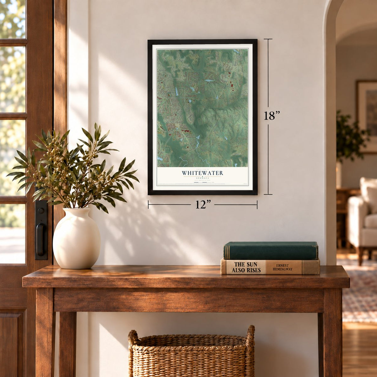
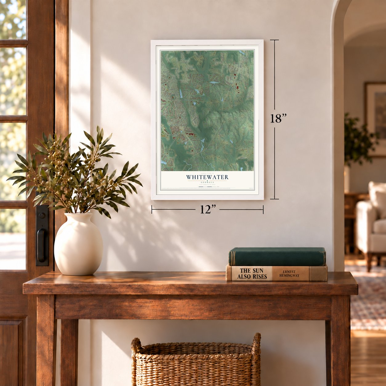
Three ways to hang it
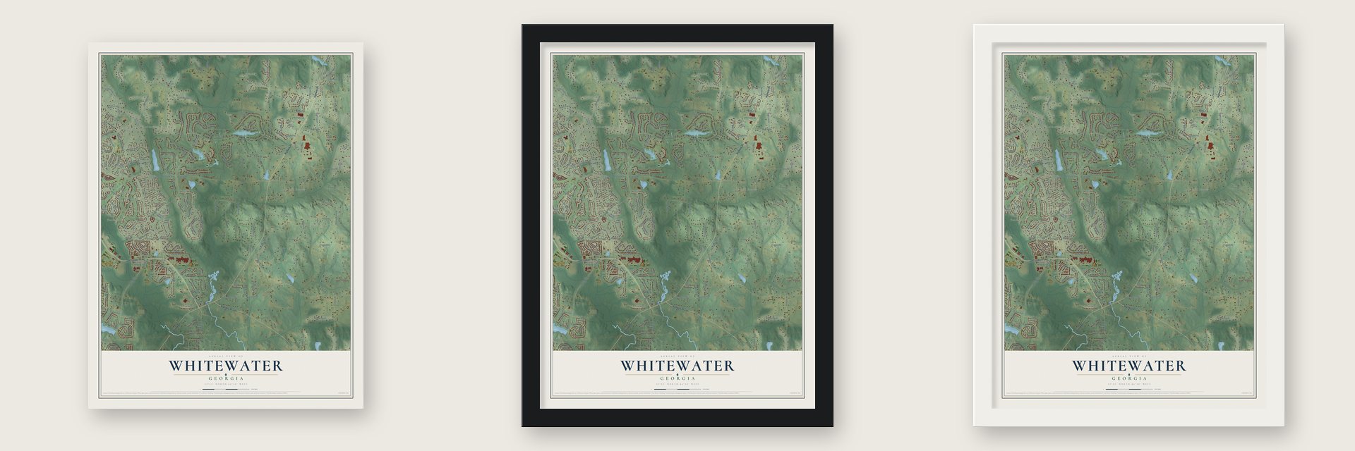
Unframed archival matte, a black wood frame or a white wood frame.
Up close
Geography Worth Displaying
This map was created using accurate cartographic data and authoritative geographic sources, including the U.S. Geological Survey and the Census Bureau. The map brings together terrain, waterways, roads, and building detail. The majority of the streets are labeled, houses are accurately depicted, and the topography is derived from government sources. Combining local data with carefully composed color and shading leads to this beautifully detailed Whitewater artwork for your wall.
Rather than simply showing street outlines, we’ve included as many of the street names as we could reasonably fit on the map while keeping their names legible. Zoom in on the high resolution preview to see exactly what’s on the map. We truly set out to create a statement piece for anyone who loves Whitewater. So whether it’s for you, or a gift for someone you love, we hope this map of Whitewater brings back fond memories.
Read the story behind this map: Detailed Map of Whitewater, Georgia.
Find your street
Names on the Whitewater map
Every name below is printed on this map. Look for your street, your school, the park where you played, or the pond down the road.
Places and landmarks19
- Jennings Yard
- The Rubicon
- Jones Hill Estates
- Starrs Mill
- Kimmeridge
- Porters Ridge
- The Colonnade
- Creekside Crossing Estates
- Bedford Park
- Tamerlane
- Waterford Green
- Huntington Place
Show all 19 places
- Foreston Place
- Robinsons Bend Estates
- Oakdale
- Kenton Place
- Crescent Oak
- Ashborough Park
- Redwood Park
Streets and roads230
- Highway 85
- Joel Cowan Parkway
- Highway 85 Con
- Rockaway Road
- Newhaven Drive
- Holly Grove Road
- Holly Road
- Holly Grove Church Road
- Old Ivy
- Redwine Road
- Bernhard Road
- Robinson Road
- Rising Star Road
- Woolsey Senoia Road
- South Peachtree Parkway
- Birkdale Drive
- Harp Road
- Quarters Road
- Old Greenville Road
- Massengale Road
- Ebenezer Road
- Grooms Road
- Porter Road
- Goza Road
- Postwood Drive
- Stonehaven Drive
- McBride Road
- Huckaby Road
- Carrolls Way
- Matthews Road
Show all 230 streets
- Chappell Road
- Panther Pth
- Busbin Road
- Brittany Lane
- Snead Road
- Padgett Road
- Harris Road
- Woodcreek Lane
- Braelinn Road
- Old Highway 85
- Broadmoor Drive
- Old Senoia Road
- Darren Drive
- Inverness Shores Drive
- Highgrove Drive
- Woodbridge Place
- Manor Drive
- Camp Creek Trail
- Ivy Lane
- Jones Circle
- Youngs Circle
- Browns Crossing Drive
- Nelms Road
- Grandchester Way
- Wildcat Way
- Turnberry Circle
- Mulberry Drive
- Log House Road
- Brechin Drive
- Lodge Trail
- Diamond Pointe
- Kari Glen Drive
- Loneoak Drive
- Archway Lane
- Evans Way
- Surrey Park Drive
- Arnold Road
- Dana Drive
- Green Meadow Lane
- Summit Walk
- Tarragon Drive
- Teal Court
- Bontura Drive
- Legacy Lane
- Tralee Drive
- Bel Aire Loop
- Woodruff Way
- Haddock Point
- Shamrock Drive
- Summerville Drive
- Bellfair Run
- Trotters Ridge
- Swains Drive
- Blue Heron Boulevard
- Summer Place
- Autumn Creek Drive
- Longmead Drive
- Woodward Drive
- Mask Road
- Farms Road
- Shoal Creek Road
- Bradford Way
- Pebble Beach Drive
- Nandover Way
- Tapestry Trce
- Hamdon Kells
- Claridge Curve
- Starrs Mill Drive
- Oak Shadow Way
- Felspar Ridge
- Hayden Court
- Muirfield Way
- Biltmore Trce
- Grindstone Way
- Christopher Drive
- Monarch Drive
- Olivia Court
- Layor Court
- Alford Drive
- Laura Lane
- Haven Ridge
- Lucy's Place
- Sydney Lane
- Rebecca Court
- Calgary Drive
- Blanche Drive
- Young Circle
- Ambrose Lane
- Troon Drive
- Millstone Drive
- Nesmith Court
- Charlotte Place
- Grooms Circle
- Sarah Court
- Providence Road
- Aster Ridge Trail
- Heritage Point Parkway
- Rockspray Ridge
- Jefferson Woods Drive
- Southern Ground Parkway
- Robinsons Bend Trail
- Welton Way
- Stolen Hours Lane
- Pinehurst Drive
- Marks Style
- Christian Circle
- Whitegate Drive
- Lisbon Road
- Chestnut Field
- Summer Brooke
- Gates Entry
- Wheatleigh Lane
- Gristmill Drive
- Whitewater Creek
- Wellborn Chase
- Hearthstone Lane
- Wilshire Village Drive
- Cabin Gate
- West Creek Court
- Porter Court
- Edgewood Parkway
- Meeting House Road
- Pinewood Drive
- Travis Trail
- Streamview Court
- Idlewood Lane
- Longwood Lane
- Driftwood Trail
- Waterfall Way
- Cheshire Chase
- Preserve Place
- Isleworth Way
- Burkwood Court
- Meade Field Drive
- Pleasant Hill
- Colony Point
- Iveydale Lane
- Seneca Place
- Suffolk Place
- Crown Point
- Selena Court
- Mattan Point
- Cherry Hills Drive
- Glen Grove
- Park Vw
- Doral Court
- Ivy Court
- Morallion Hills
- Grecken Green
- Calloway Crossing
- Watertown Way
- Holly Springs Drive
- McElwaney Way
- Saint Andrews Drive
- Evian Way
- Whitehall Place
- Bellingrath Court
- Palladian Drive
- Mountain Edge
- Copperplate Lane
- Brandenburg Way
- Cascade Overlook
- Dartmouth Place East
- Carnoustie Way
- Countryside Drive
- Burbury Close
- Chestlehurst Drive
- Marble Court
- Moonview Place
- Korinna Court
- Orleans Trce
- Sterling Point
- Woodmere Lane
- Bookman Place
- Reed Creek Court
- Bramlet Court
- Hillred Drive
- Marcie Court
- Mill Court
- Dawn Drive
- Colonnade Drive
- Kimmer Road
- Heritage Way
- Oakdale Avenue
- Alexander Ware Place
- Cedar Creek Court
- Merrywood Lane
- Somerby
- Hutchinson Lake Road
- Lavender Oasis
- Bradford Point
- Cumberland Court
- Ellenwood Court
- Sweetwater Way
- Domino Court
- Covey Crossing
- Ralston Court
- Lost Creek Court
- Spring Mist Drive
- Tudor Way
Names are listed as they appear on the printed map. Zoom into the product photos to find them.
Keep exploring Georgia
Whitewater is one of 1,042 Georgia towns we've mapped. Every dot on the map is a print of its own.
The search covers every state, Georgia first.
Near Whitewater
Order 2 or more town maps and save 10%. Shown in the size and finish you picked above, so they hang as a set.
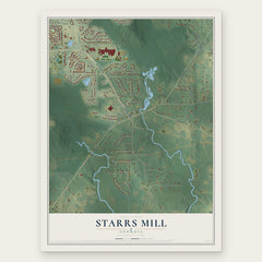
- Starrs Mill 12" x 18" / Archival Matte Print $39.99
- Peachtree City 12" x 18" / Archival Matte Print $39.99
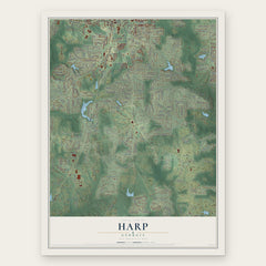
- Harp 12" x 18" / Archival Matte Print $39.99

More maps nearby: Senoia, Brooks, Woolsey, Inman and Fayetteville.
The art of mapping a place
How This Map Was Made
Real places. Remarkable detail. Discover the layers that turn geographic data into a map of home.

The view from above
Aerial imagery reveals the character of the land: woodland, open fields, and the patterns of a place.

The shape of the land
Elevation data brings hills, valleys, and subtle changes in the landscape into view.

The details of home
Roads, waterways, and building footprints come together to make the map feel unmistakably local.

Geography becomes art
Considered color, shading, and typography bring the layers together in a map made for your wall.


Process illustrated with Mendon, Massachusetts. Aerial imagery: USDA NAIP. Terrain: USGS 3D Elevation Program. Map details and finished artwork: KNOWOL.
The Details
About This Print
Choose an archival matte print, or a black or white Ayous wood frame. The archival matte print is unframed.
Select your size and finish above to see the matching product image and price.
Materials & Craftsmanship
A contemporary map with the character of a classic atlas, printed on archival matte paper. Optional frames are made from Ayous wood.
Your printed map does not include the watermark shown in the full-map preview.
Shipping & Delivery
Free shipping within the United States. Every print is made to order in the USA.
Buying a gift? Add a note in your cart and we'll include it. We never put prices in the package.
Prints ship within 2 to 3 business days. Allow 7 to 10 days total from ordering for delivery. Timing may vary during holidays or periods of high order volume.
Read our shipping policy.
Returns and damaged prints
Each print is made to order. Change-of-mind refunds are not available after production.
If your print arrives damaged, misprinted or incorrect, contact support@knowol.com within 30 days of receiving it. Include your order number, photos and a description of the issue.
Read our full refund and replacement policy. For questions about your order, email support@knowol.com.